Maps & PrintsBartele Gallery · Langweer
Home / Antique Maps / World Maps

World Maps · 19th century

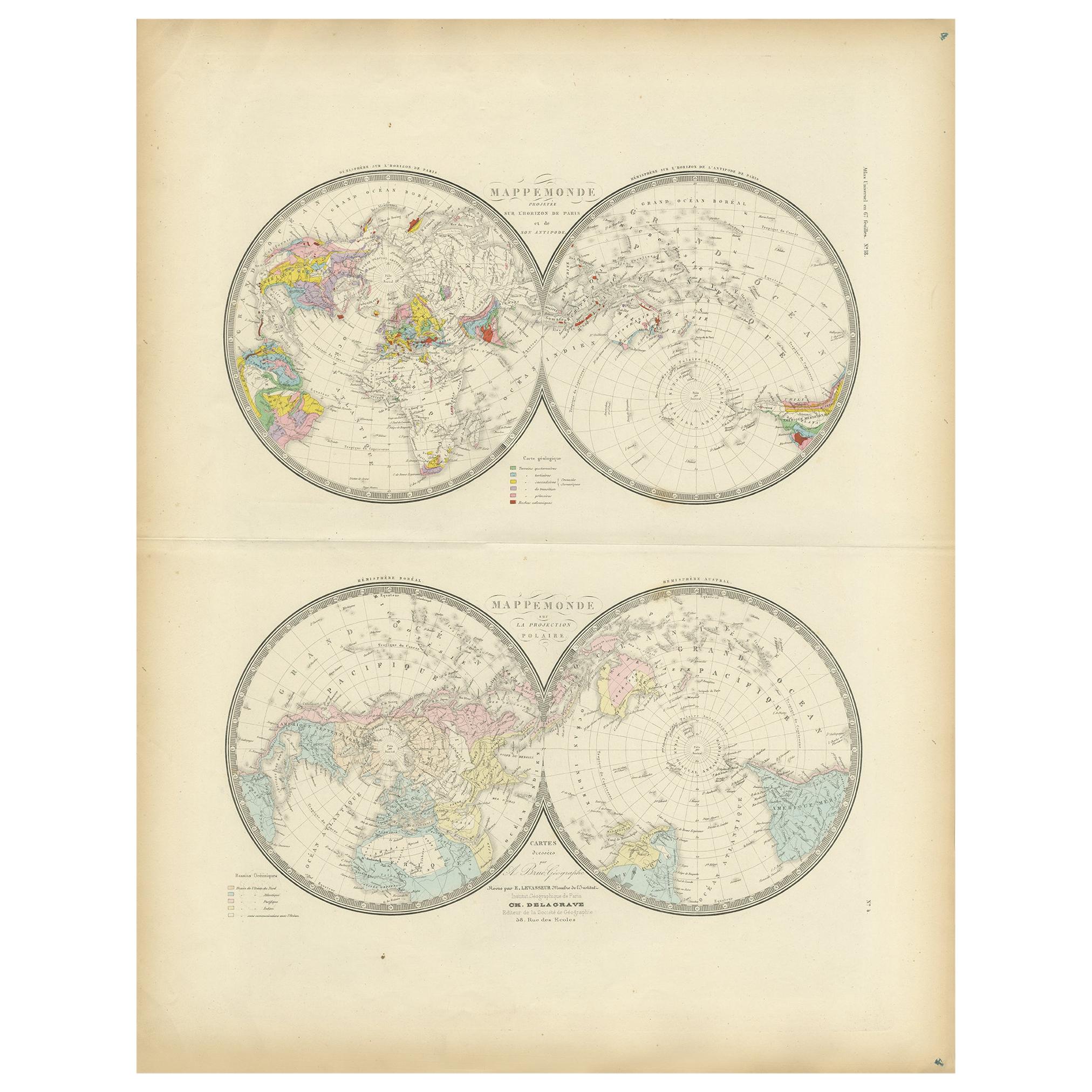
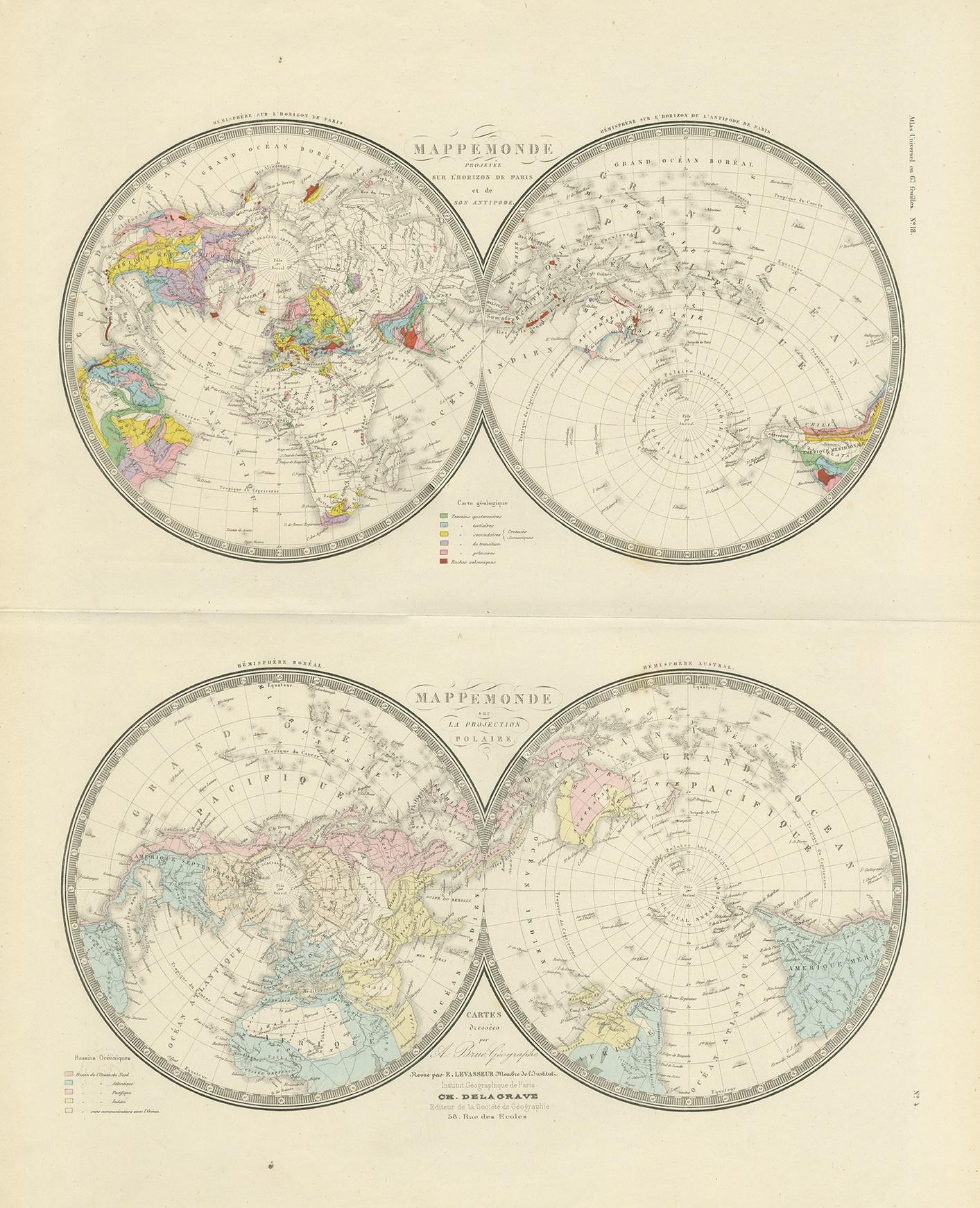
Antique Hemisphere Map of the World 'Two on One Sheet' by Levasseur, '1875'

€ 500

One of a kind: this is the sheet in the photographs. Ships from Langweer, the Netherlands.

Date
1875
Sheet size
61 × 47.5 cm (24.0 × 18.7 in)
Condition
Good
Reference
BG-12257-4

Condition

General age-related toning, minor wear. Few small holes, also affecting image. Original folding line, blank verso. Please study images carefully.
About this sheet

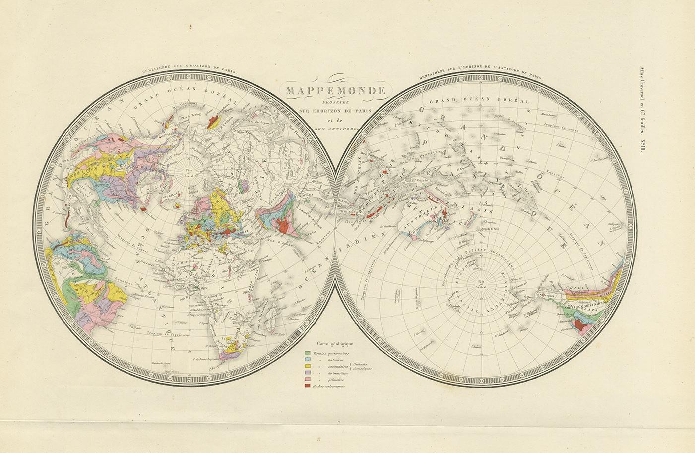
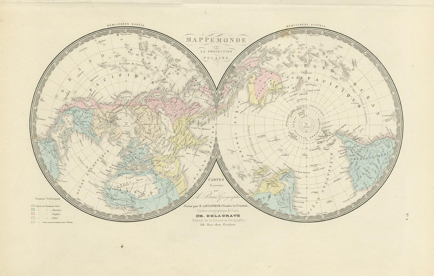
Antique map titled 'Mappemonde projetée sur l'Horizon de Paris et de son Antipode - Mappemonde sur la projection polaire'. Large map with two hemisphere world maps on one sheet. This map originates from 'Atlas de Géographie Moderne Physique et Politique' by A. Levasseur. Published 1875.

More from World Maps

Ask about this sheet

Antique Hemisphere Map of the World 'Two on One Sheet' by Levasseur, '1875'
1875 · Ref. BG-12257-4 · € 500
We reply by email, usually within one working day.