maps-prints.com
✦
Black Friday Sale
Friday 20 to Monday 30 November: up to 30% off original antique maps and prints
The terms
- Up to 30% off selected original antique maps and prints. Every piece is an original, printed in its own time; none is a reproduction.
- The sale runs from Friday 20 November to Monday 30 November. Sale prices shown here apply from Friday 20 November; until then pieces are sold at their regular price.
- Free FedEx shipping on qualifying orders placed on our own websites: USA, Canada, UK and Europe over $500 / €450; rest of the world over $750 / €675. Smaller orders pay our normal shipping rate.
- Orders placed from 15 to 30 November ship from 1 December, in time for Christmas. Our shipping partner is InXpress.
- Each piece is unique, so the sale is while stock lasts.
Collection:AllAmericanSea chartsMilitaryNatural historyFashionArchitectureBotanicalSacredEast Indies
Sale prices apply from Friday 20 November. Save the pieces you like with the heart and come back on Friday.
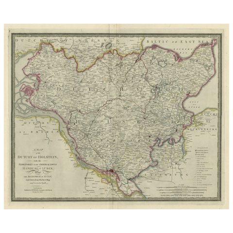 Large Original Antique Map of the Dutchy of Holstein, Germany, ca.1840
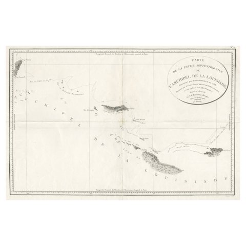 Uncommon Rare Map Showing The Louisiade Archipelago, Papua New Guinea, ca.1798
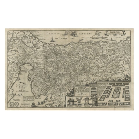 Beautiful Rare Antique Map of the Holy Land, 1648
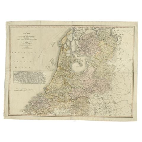 Cary’s Map of the Low Countries – Antique 1813 British Map
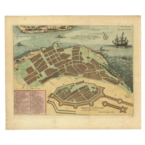 Very Attractive Handcolored Antique Plan of Cochin in India, 1744
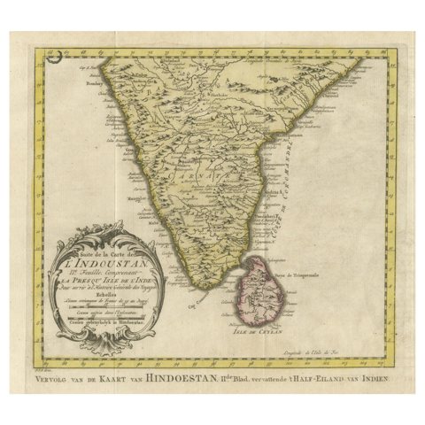 Original Antique Map of Southern India and Ceylon 'Present-Day Sri Lanka'
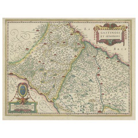 Original Antique Regional Map of France with Orleans, Auxerre and Montargis
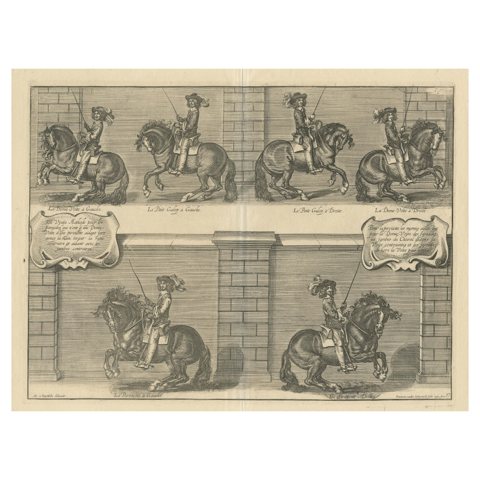 Antique Print of the Duke of Newcastle on a Horse Showing Equestrian Dressage
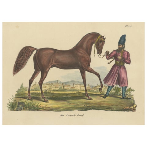 Antique Hand Colored Print of a Persian Horse
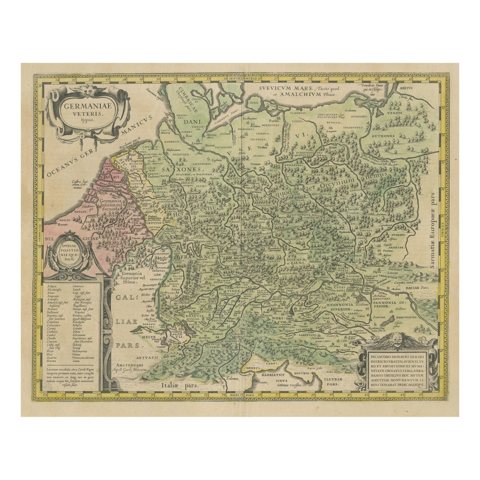 Original Hand-Colored Antique Map of Ancient Germany, circa 1630
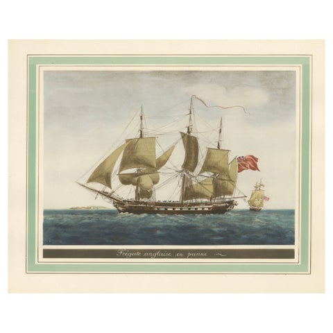 Before the Gales: An English Frigate Awaiting Wind, circa 1920
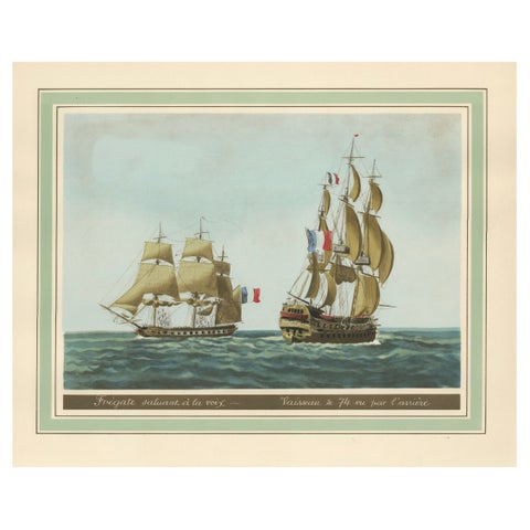 Maritime Salute: The Elegance of 18th-Century Naval Grace, circa 1920
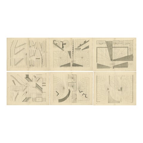 1739 Masterwork: Van der Horst's Architectural Elegance in Original Engravings
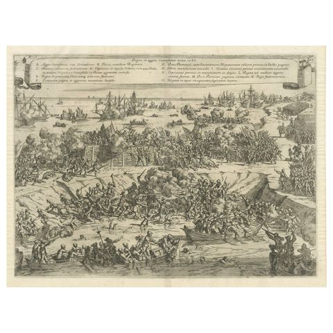 Siege and Struggle: The Kauwensteinse Dike in the Eighty Years' War, 1647
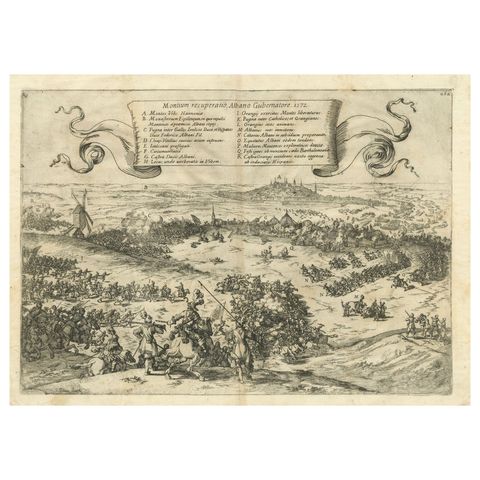 Old Engraving of The Battle of Bergen in Hainaut during the Eighty Years', 1632
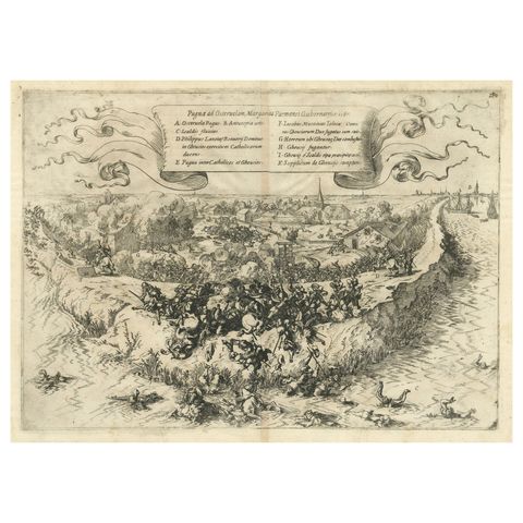 First Sparks of the Eighty Years' War in Oosterweel in 1567, Engraved in 1632
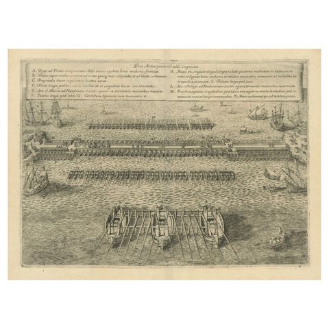 The Duke of Parma's Pontoon Bridge in The Siege of Antwerp, 1632
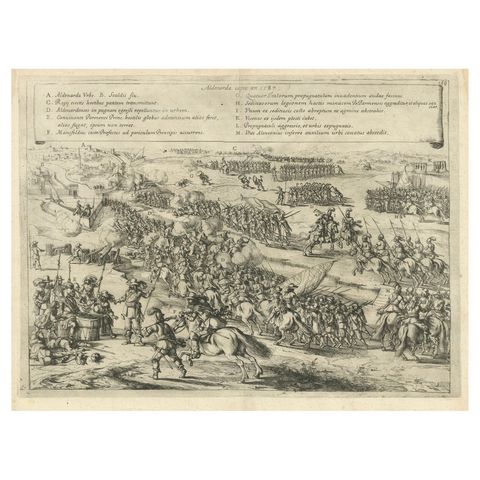 The Aftermath of Battle for Oudenaarde in the Eighty Years' War Engraved in 1632
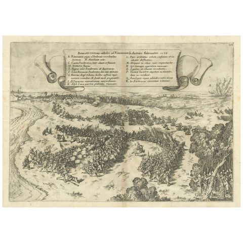 Clash at Rijmenam Engraved: A Turning Point in the Eighty Years' War, 1632
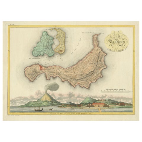 Colonial Cartography: The Banda Islands - the Epicenter of the Spice Trade, 1818
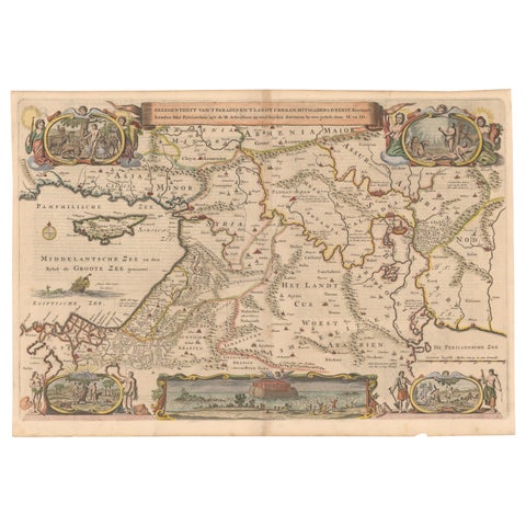 Circa 1686 Daniel Stoopendaal Map: Biblical Sites from Paradise to Canaan
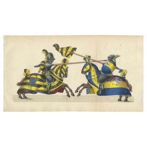 Hand-Coloured Knightly Joust Print: Vibrant Heraldic Horses and Armor, 1842
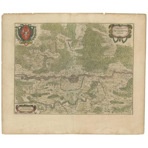 Antique Map of the Frankfurt Region by Johannes Janssonius, Hand-Colored, C.1650
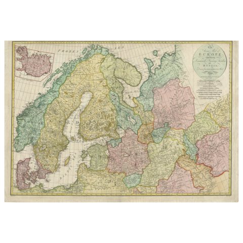 Historical Map of Northern Europe and Russia - Engraved for I. Harrison, 1788
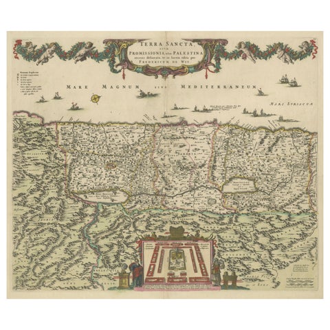 Frederic de Wit Map of Palestine – Terra Sancta, Amsterdam c.1670
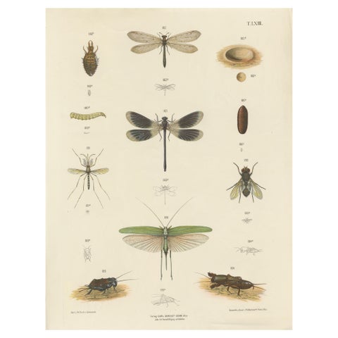 Large Antique Entomology Poster – Dragonflies, Crickets & Flies, ca.1880
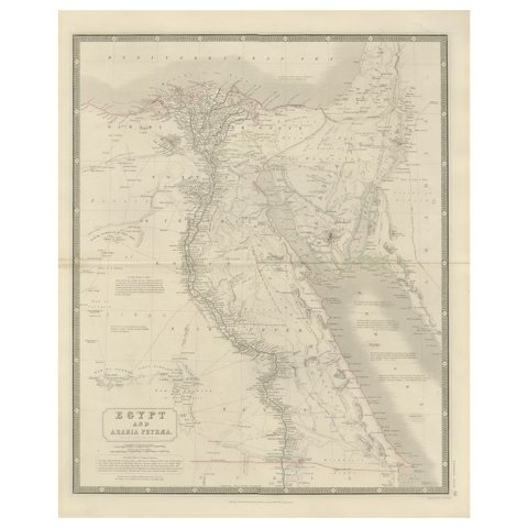 Egypt & Arabia Petraea – Large Nile Map, British Cartography, c.1815
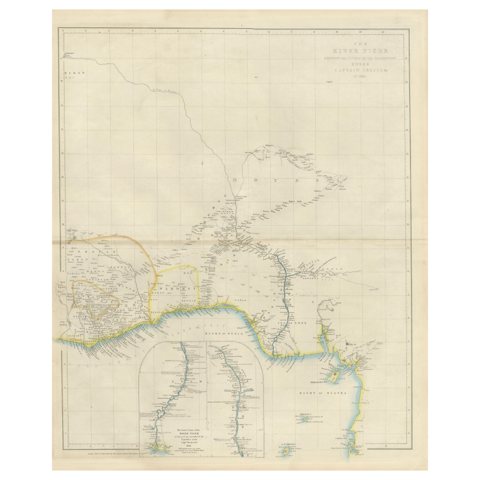 Antique Niger River Map, Arrowsmith, British Expedition under Trotter, 1855
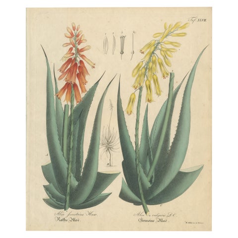 Antique Botanical Print of Aloe Socotrina & Aloe Vulgaris, c.1831
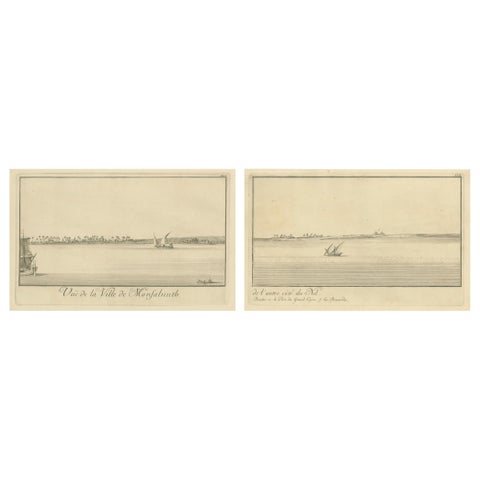 Across the Nile – Pair of Antique Egypt Engravings with Distant Pyramids, c.1755
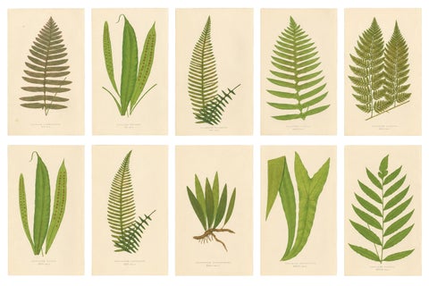 Exotic Victorian Fern Lithograph Collection with English Species Names, 1856
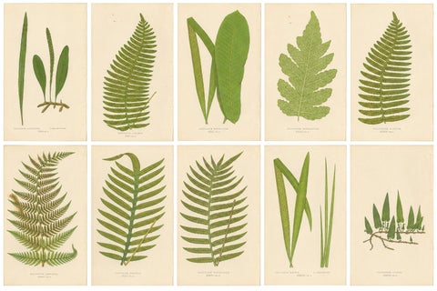 Set of 10 Original Antique Fern Lithographs by Edward J. Lowe, 1856
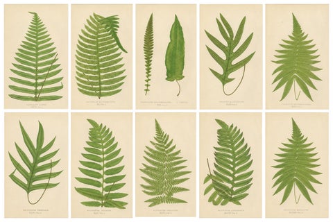 Collection of 10 Original Antique Tropical Fern Lithographs by E.J. Lowe, 1856
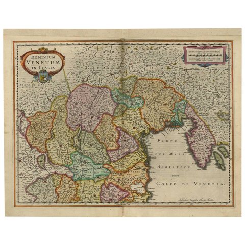 Antique Map of the Area Around Venice in Italy by H. Hondius, circa 1606
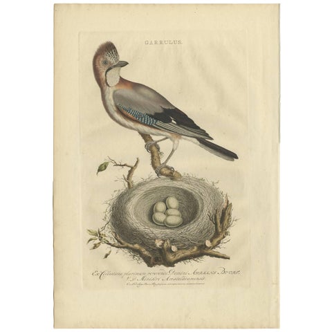 Antique Bird Print of the Garrulus by Sepp & Nozeman, 1770
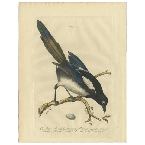 Magpie (Pica) – Antique Ornithological Print with Dutch Text, Nozeman, 1770–1829
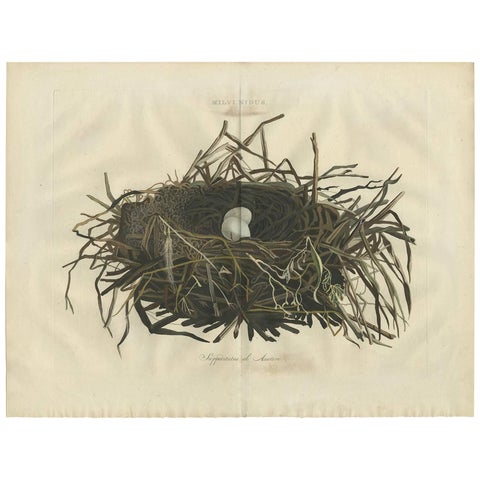 Western Marsh Harrier Nest – Antique Double-Page Engraving, Nozeman & Sepp 1770
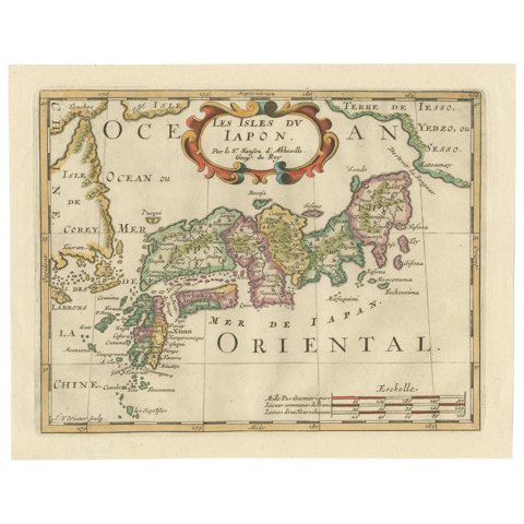 Antique Map of Japan and Korea by Sanson, 'c.1690'
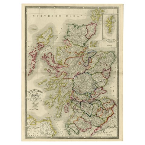 Antique Map of Scotland With an Inset Map of the Shetland Islands, 1854
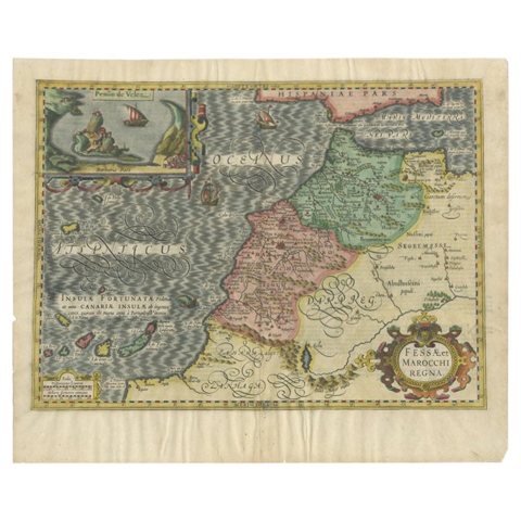 Old Map of Morocco, The Canary Islands, Madeira, Inset of Penon de Velez, 1605
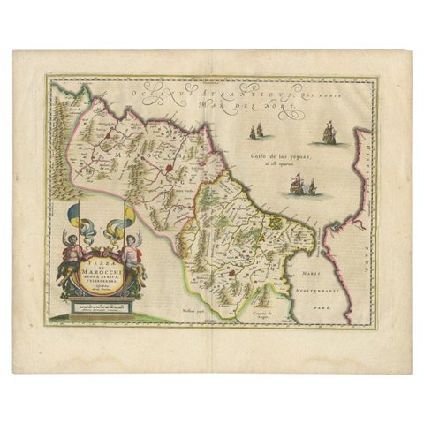 Antique Map of Morocco Showing Towns of Marakesh, Taradant and Fez, 1636
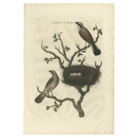 Antique Hand-Coloured Bird Print of The Red-Backed Shrike, 1789
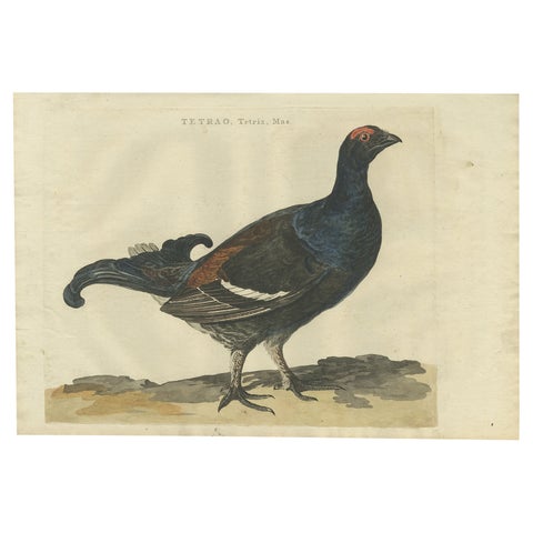 Antique Hand-Coloured Bird Print of the Male Black Grouse, 1789
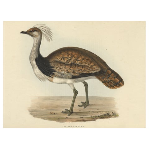 Antique Hand-Coloured Bird Print of the Ruffed Bustard, 1832
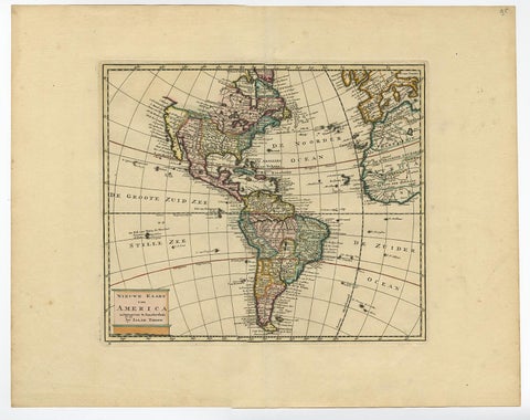 Antique Hand-Coloured Map of North and South America, ca.1765
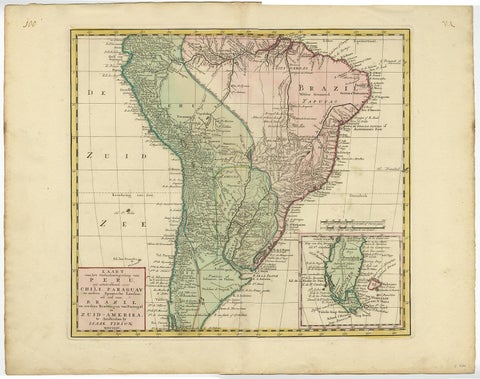 Attractive Antique Hand-Coloured Map of South America, ca.1765
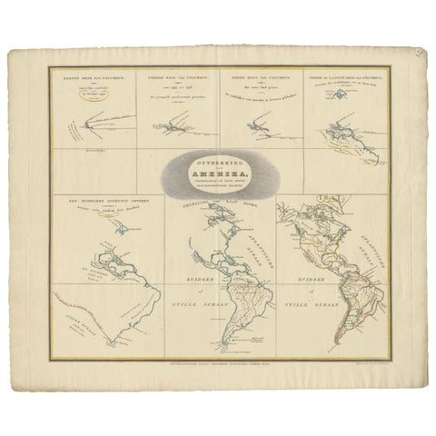 Interesting Antique Map of the Development of the Mapping of the America's, 1841
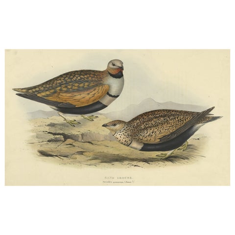 Antique Hand-Colored Bird Print of the Sand Grouse by Gould, 1832
Sharing the sale? Download the Black Friday banners.