Maps & PrintsBartele Gallery · Langweer
Home / Antique Maps / Europe / Southern Europe

Southern Europe · 17th century

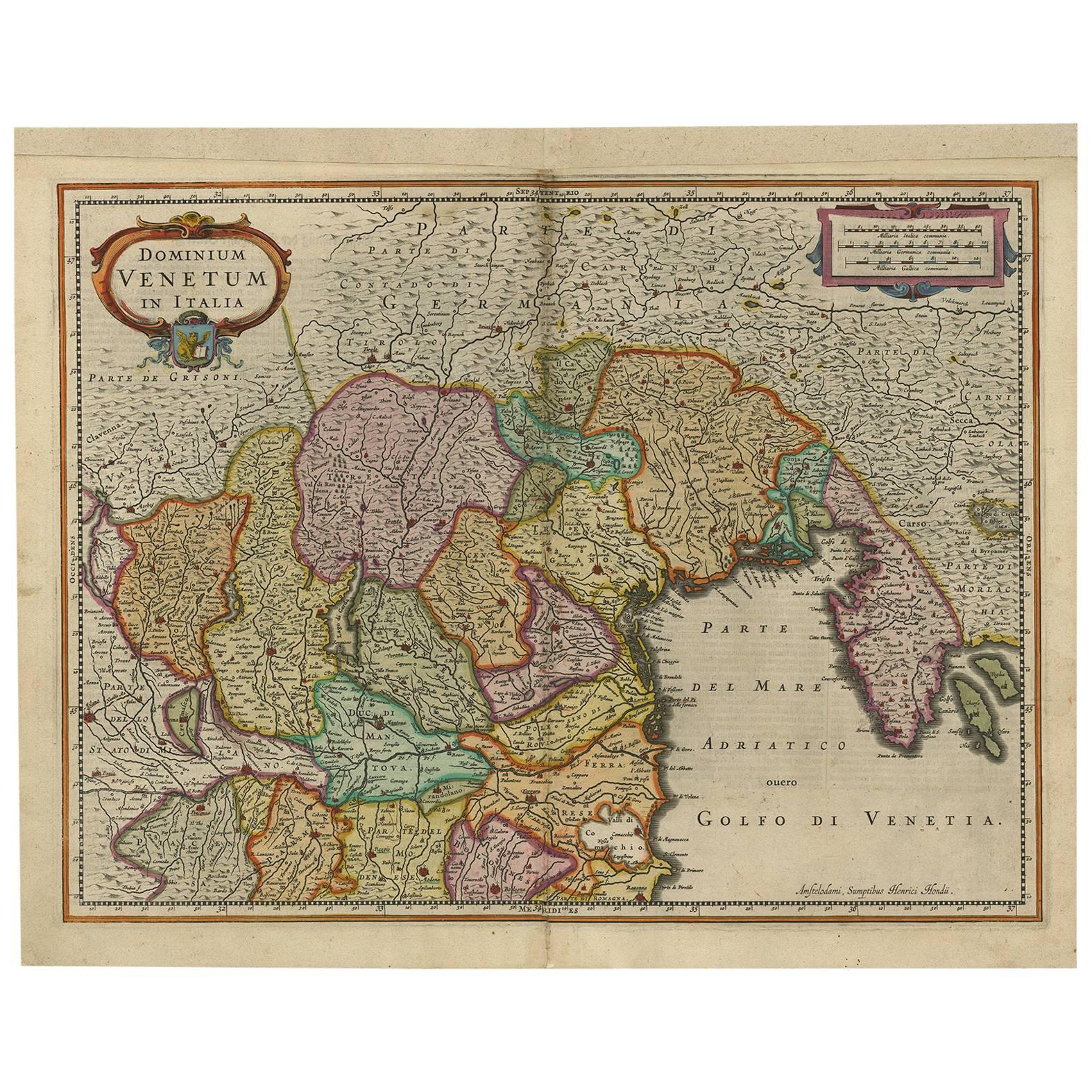
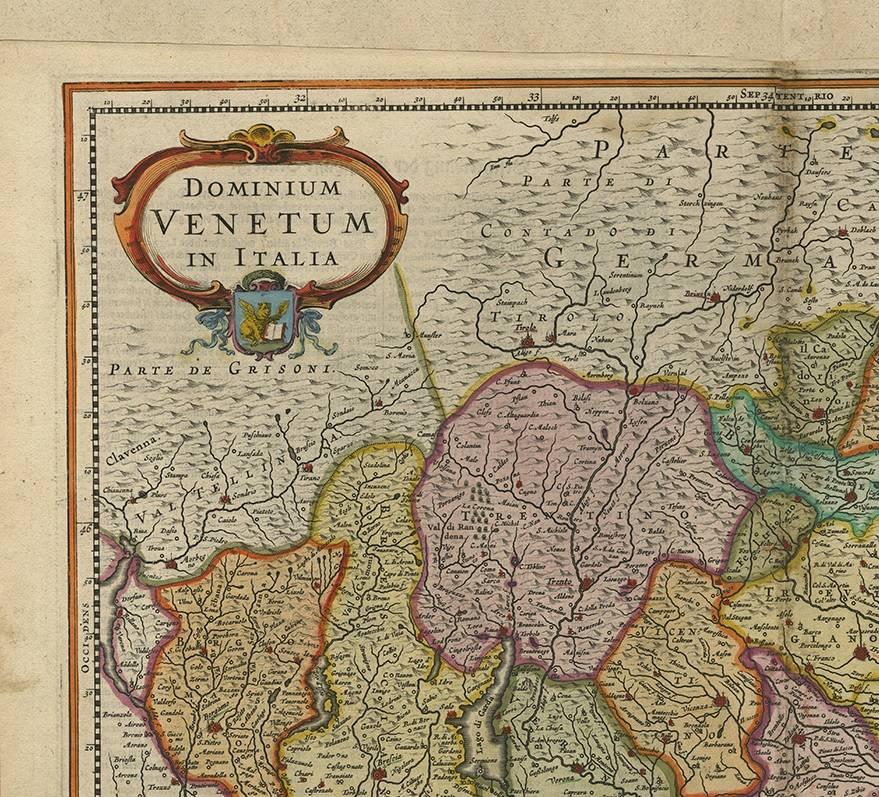
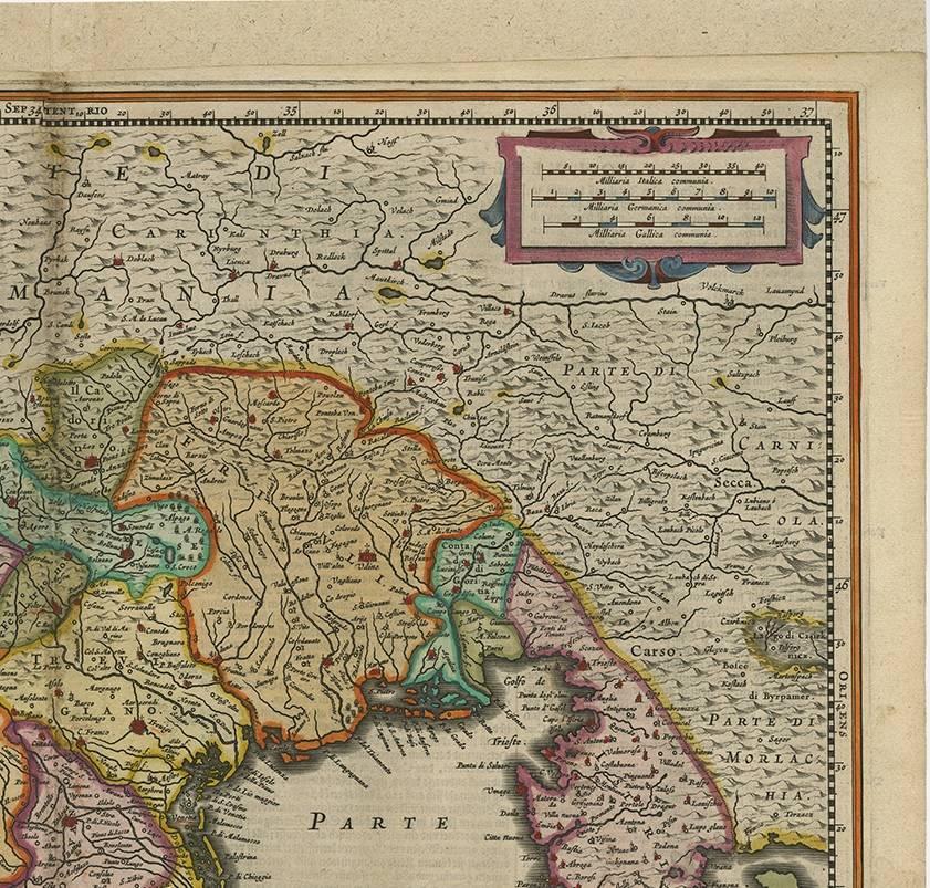
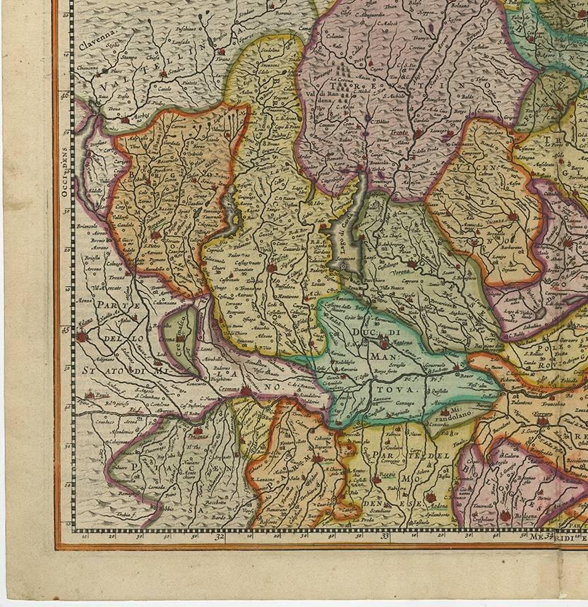
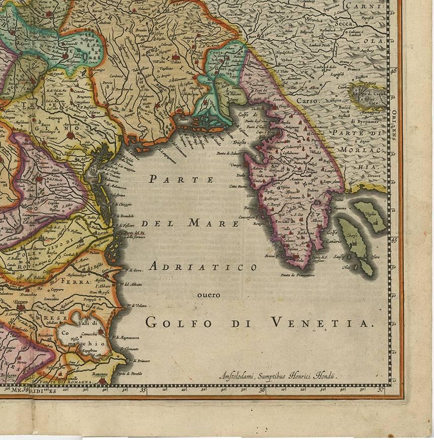
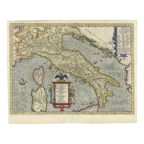
Antique Map of the Area Around Venice in Italy by H. Hondius, circa 1606

€ 836

One of a kind: this is the sheet in the photographs. Ships from Langweer, the Netherlands.

Date
1606
Mapmaker / artist
Jodocus Hondius (Artist),Gerard Mercator (Artist)
Technique
Engraved
Sheet size
43 × 54 cm (16.9 × 21.3 in)
Condition
Good
Reference
BG-02088

Condition

Please study images carefully or ask for extra images.
About this sheet

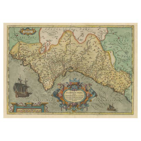
Attractive and early map of the area around Venice, Italy. With South-Tirol in the North, areas of Krain (Slovenia), Croatia, Ferrara, Modena and Piacenza. In the east with areas around Milan and Brescia. Decorative and large ornamental title cartouche with small coat-of-arms below. In the upper right corner with ornamental scale of miles cartouche. This map originates from the German atlas „Abbildung der gantzen Welt ..." by Gerard Mercator and Jodocus Hondius. Verso with text in German.

More from Southern Europe

Ask about this sheet

Antique Map of the Area Around Venice in Italy by H. Hondius, circa 1606
1606 · Ref. BG-02088 · € 836
We reply by email, usually within one working day.