Maps & PrintsBartele Gallery · Langweer
Home / Antique Maps / Europe / Western Europe / France

France

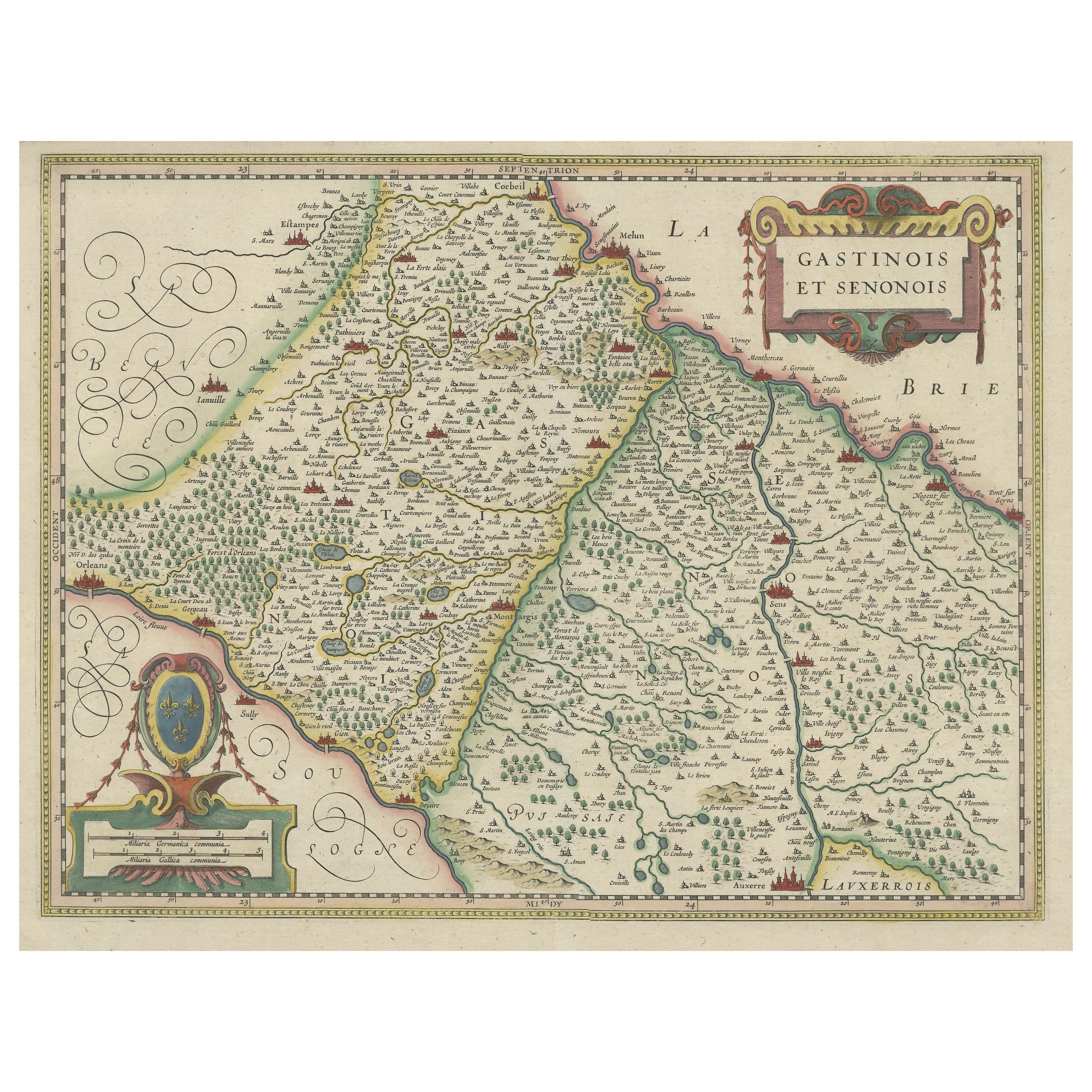
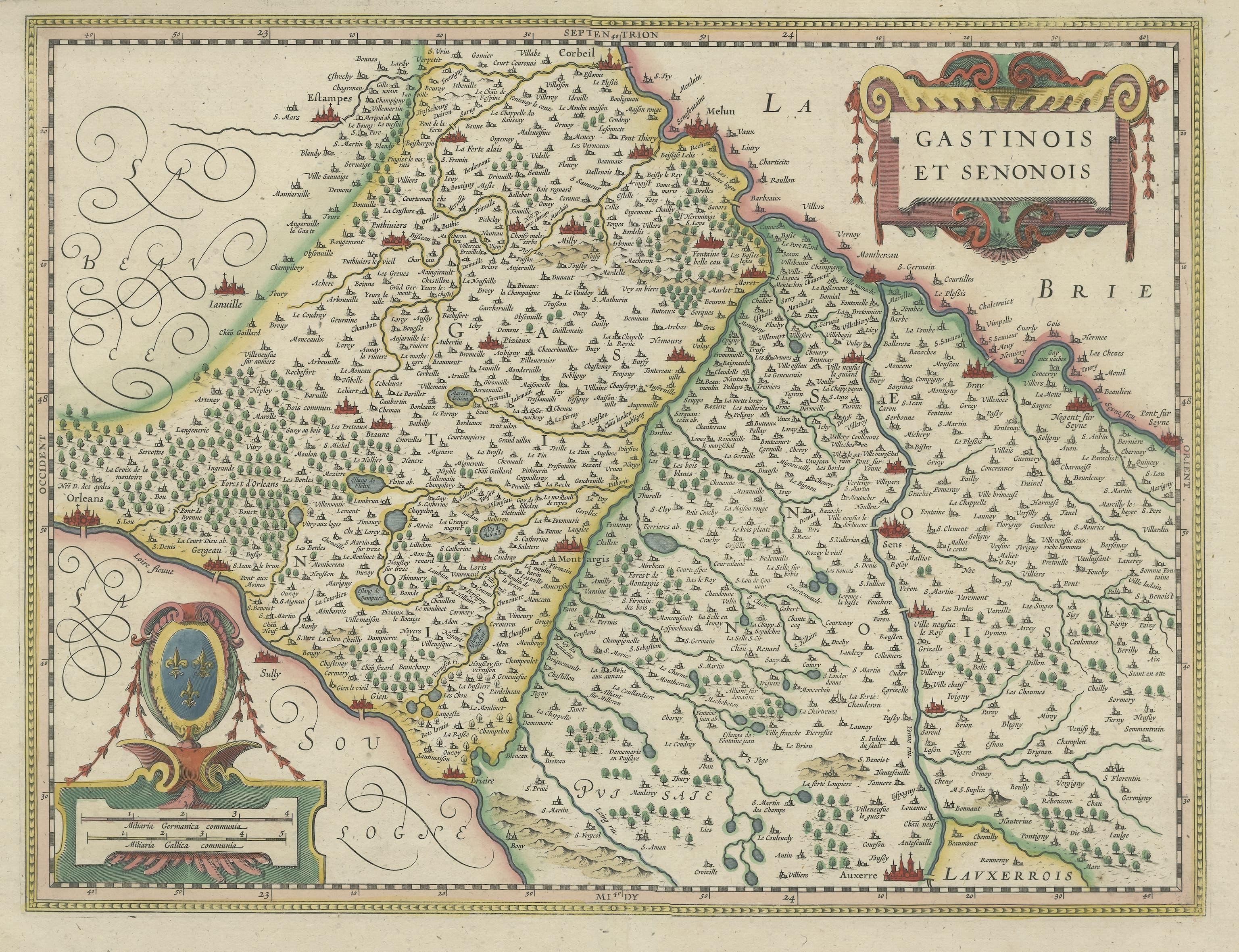
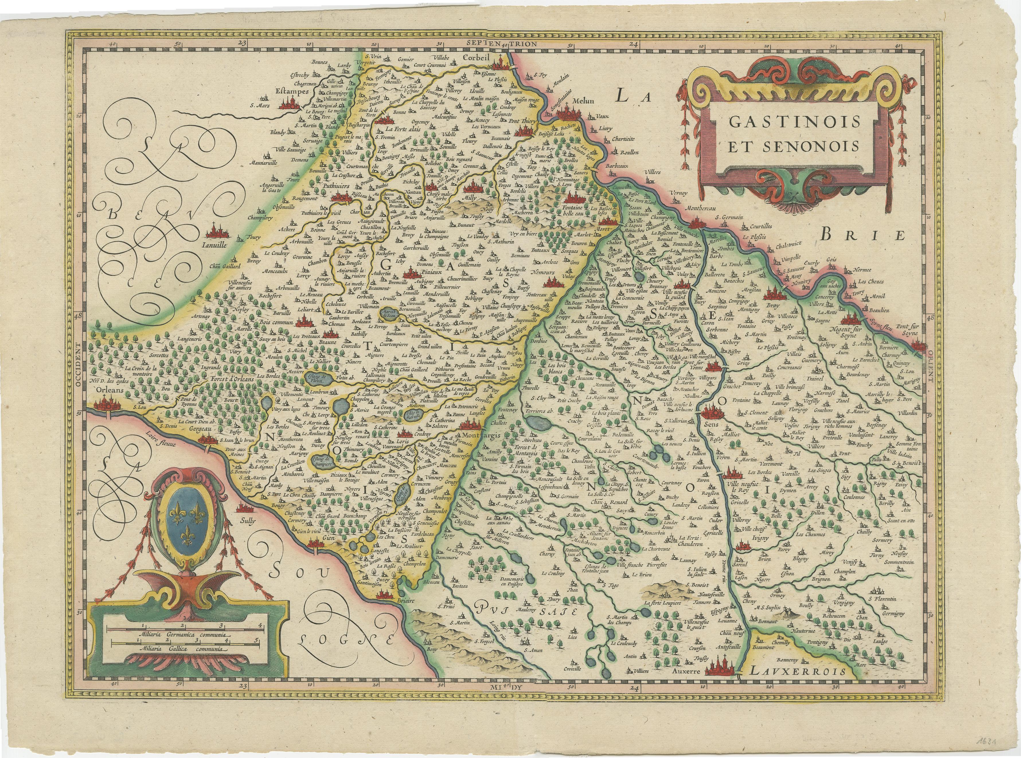
Original Antique Regional Map of France with Orleans, Auxerre and Montargis

€ 840

One of a kind: this is the sheet in the photographs. Ships from Langweer, the Netherlands.

Mapmaker / artist
Johannes Janssonius
Sheet size
42.6 × 57.5 cm (16.8 × 22.6 in)
Condition
Good
Reference
BG-12543

Condition

Wear consistent with age and use. General age-related toning, later hand coloring. Folding line flattened. Minor wear, blank verso. Please study image carefully.


About this sheet

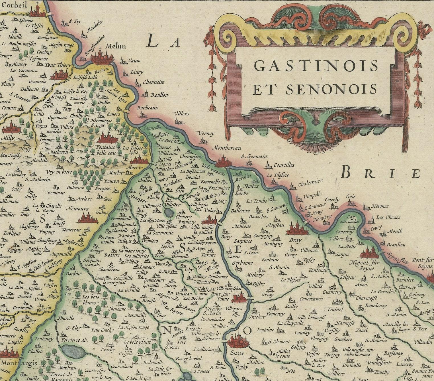
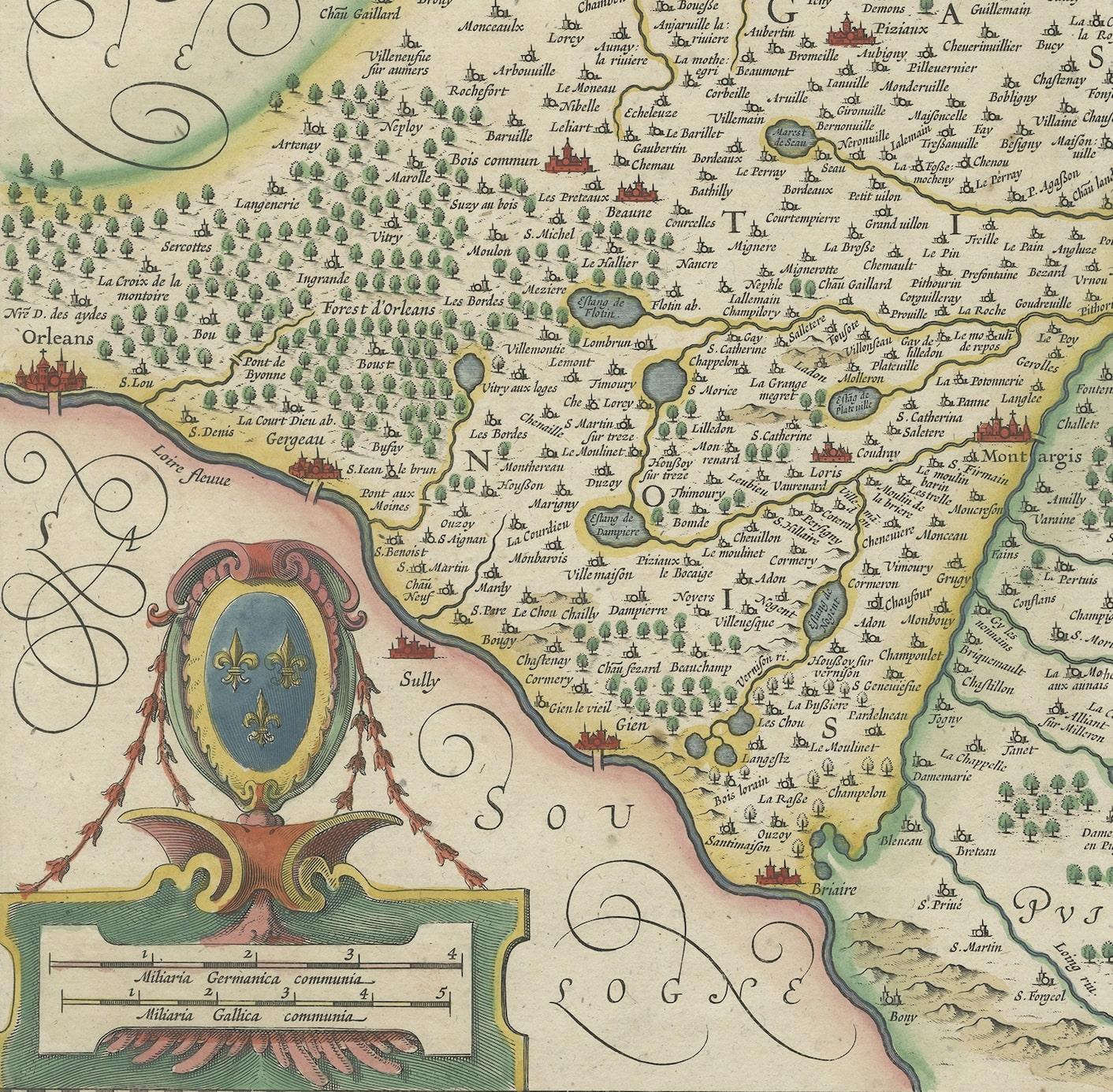
Original antique map titled 'Gastinois et Senonois'. Beautiful regional map of France. With Corbeil in the north, Pont sur Seyne in the east, Auxerre in the south, and Orleans in the west. Published by J. Janssonius, 1631.

Johannes Janssonius was a Dutch cartographer and publisher who lived and worked in Amsterdam in the 17th century.

More from France

Ask about this sheet

Original Antique Regional Map of France with Orleans, Auxerre and Montargis
Ref. BG-12543 · € 840
We reply by email, usually within one working day.



