Biblical Journeys: Apostle Paul's Voyages and the Israelites' Exodus, 1856
€ 330
Original antique · The actual sheet photographed · Certificate of authenticity on request · Sold unframed · Worldwide shipping from € 15 (rates)
Date
1856
Sheet size
30.5 × 33 cm (12.0 × 13.0 in)
Condition
Good
Reference
BG-14035-1 and -2
What the condition grades mean
Excellent
Bright and clean, with no faults worth mentioning.
Very good
Only light signs of age, such as faint toning.
Good
Normal signs of age for a sheet of this period: toning, some foxing, small marks or neat old repairs.
Fair
Clear faults such as staining, tears or repairs, priced to match.
Every fault we see is written in the condition note, and the whole sheet is shown uncropped in the photos.
Condition
Both maps are in good condition, featuring vibrant hand-coloring and sharp details with a few minor spots or creases (folding line) due to age and handling. They are elegantly mounted in cream matting boards, enhancing their presentation.
About this sheet
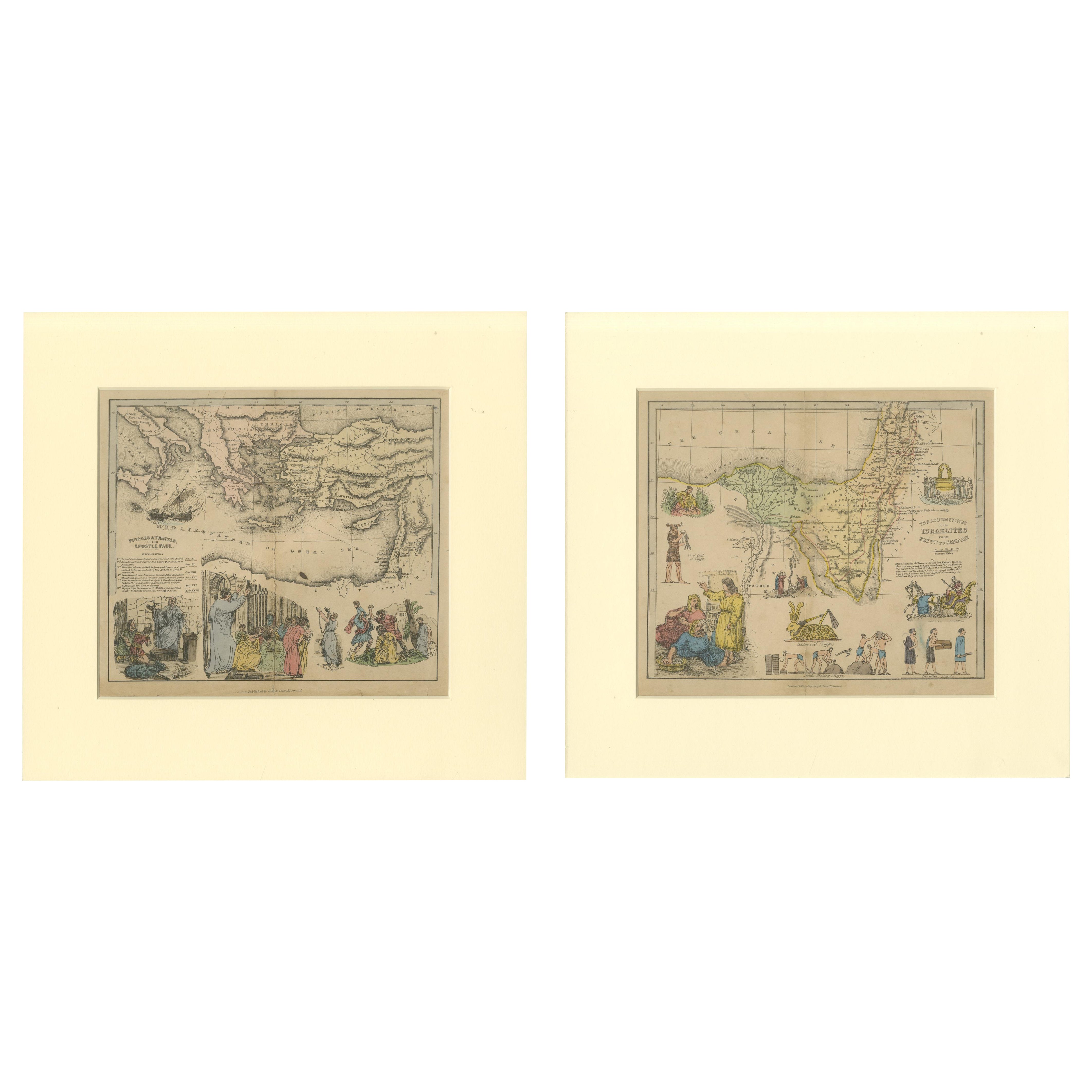
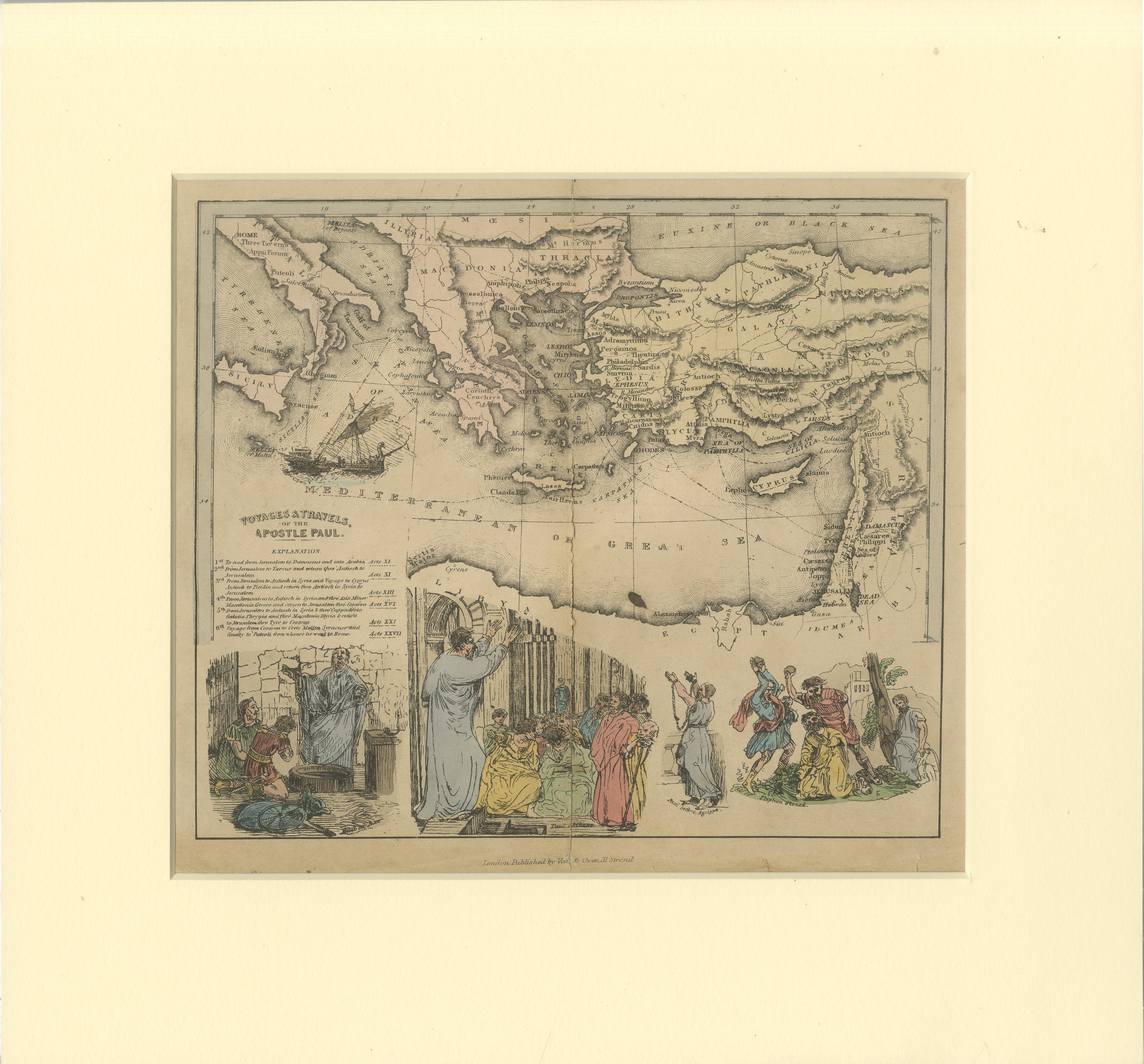
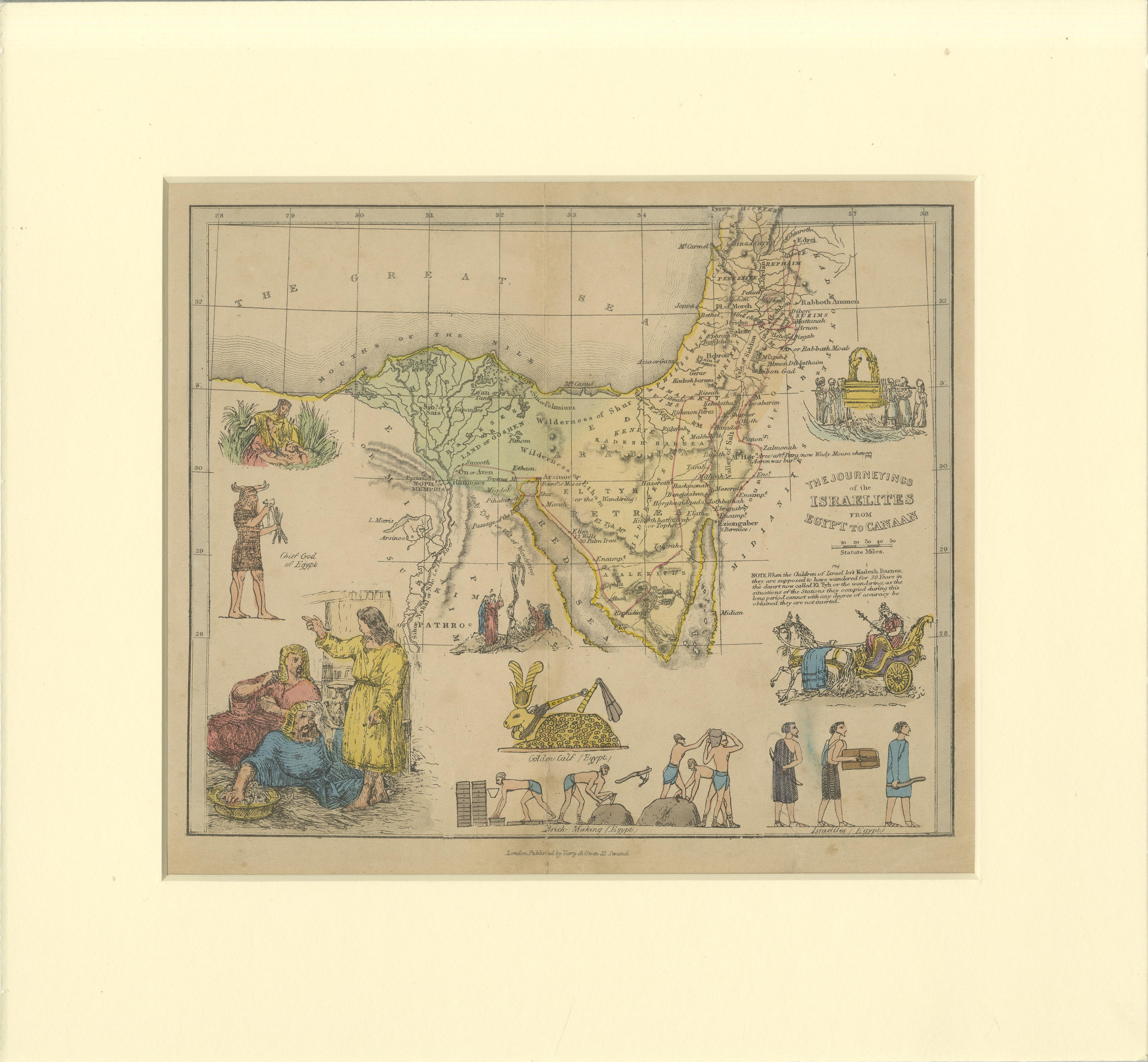
Two maps in matting board. From the Pictorial Bible Atlas, published in 1856.
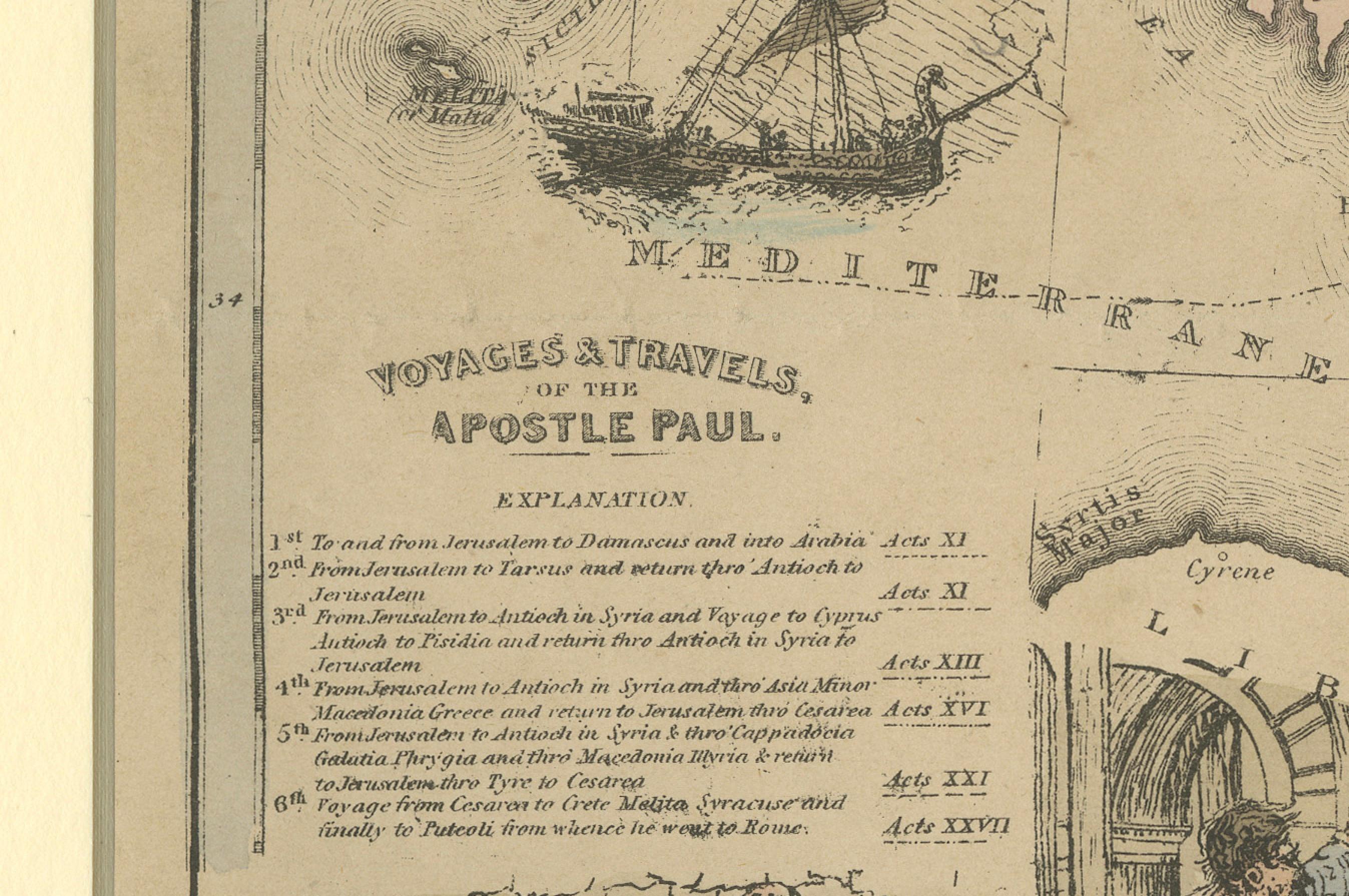
Title for Map 1: Voyages and Travels of Apostle Paul – Illustrated Antique Map
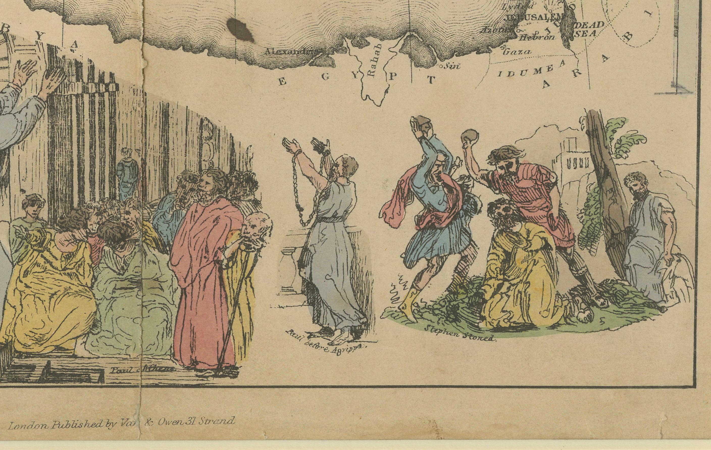
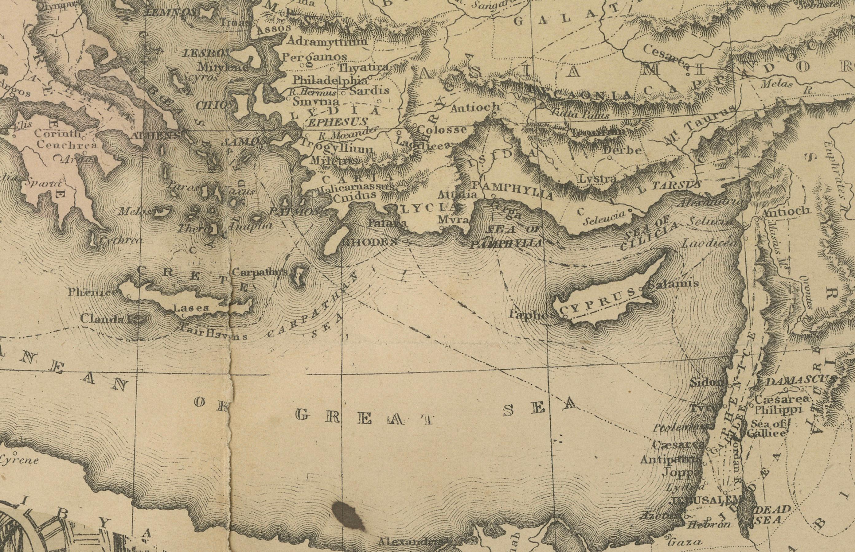
This hand-colored antique map depicts the voyages of Apostle Paul, tracing his journeys through the Mediterranean and highlighting key cities such as Rome, Corinth, and Ephesus. Surrounding the map are illustrations of significant events from Paul’s life, including his preaching, imprisonment, and missionary work. Published in the mid-19th century, the map blends geographical detail with biblical history to vividly recount Paul’s travels.
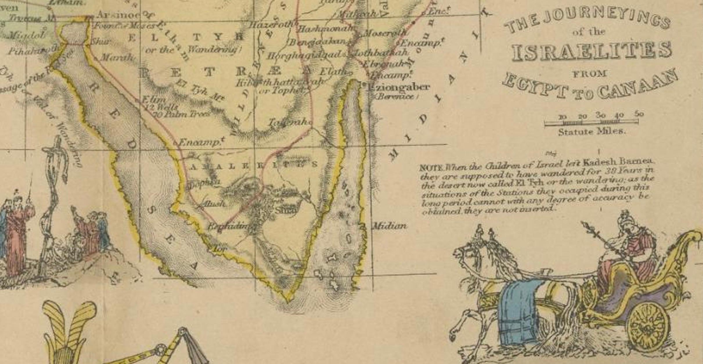
Title for Map 2: The Journeys of the Israelites from Egypt to Canaan – Illustrated Antique Map
This hand-colored map illustrates the route of the Israelites’ exodus from Egypt to Canaan, the Promised Land. Biblical scenes frame the map, depicting events such as Moses parting the Red Sea, the Golden Calf, and the Ark of the Covenant. The map outlines key locations and stories from the Book of Exodus, reflecting the mid-19th century fascination with religious themes and historical cartography.
Presentation and Condition: Both maps are in good condition, featuring vibrant hand-coloring and sharp details with a few minor spots or creases (folding line) due to age and handling. They are elegantly mounted in cream matting boards, enhancing their presentation and ensuring protection for display or archival storage. These maps are remarkable for their combination of religious storytelling and antique cartographic artistry.