About this sheet
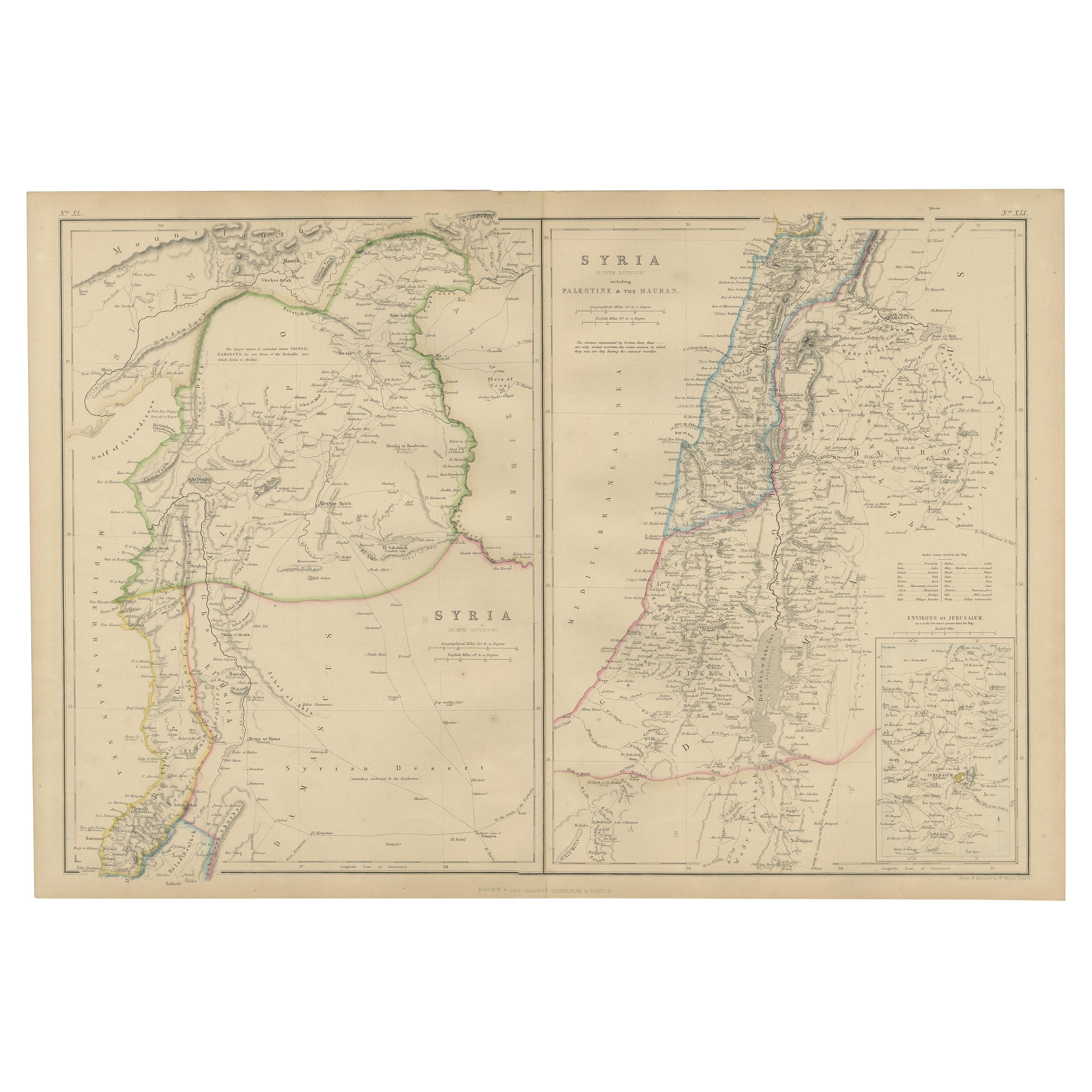
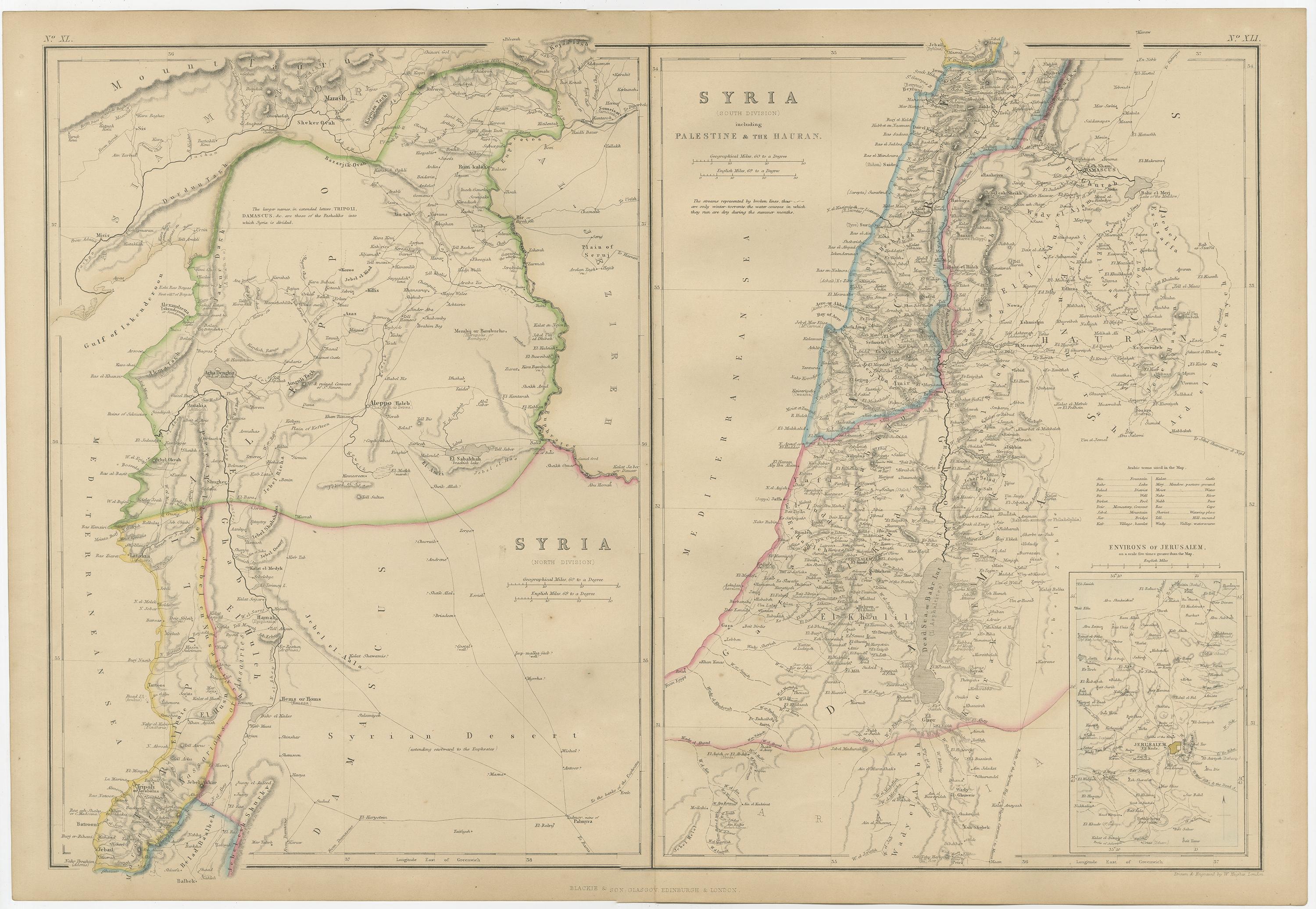
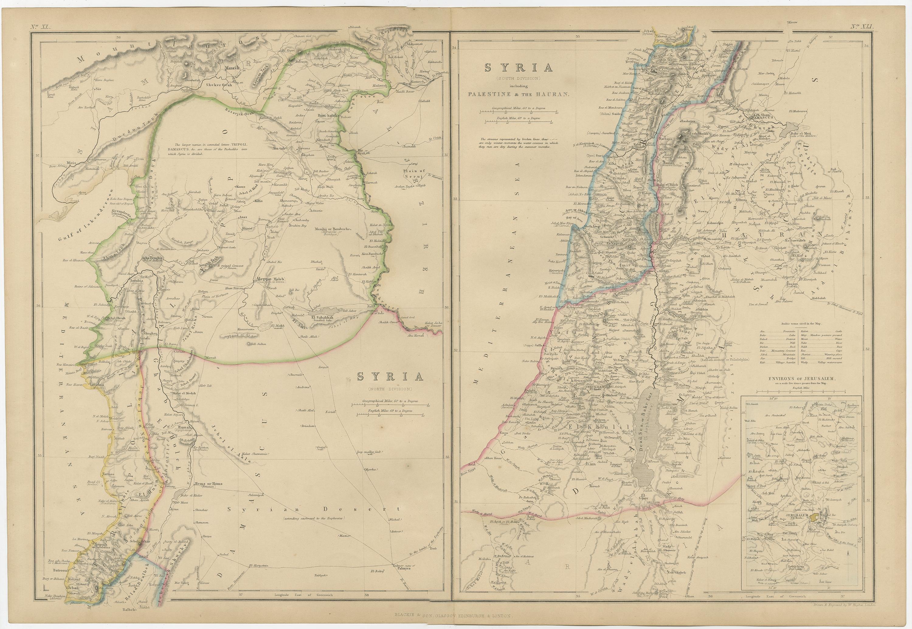
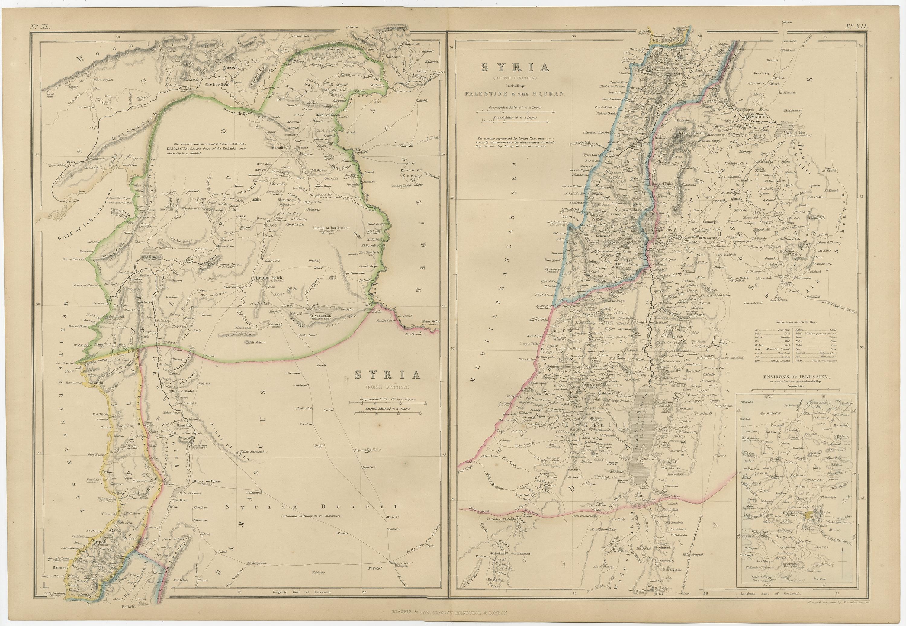
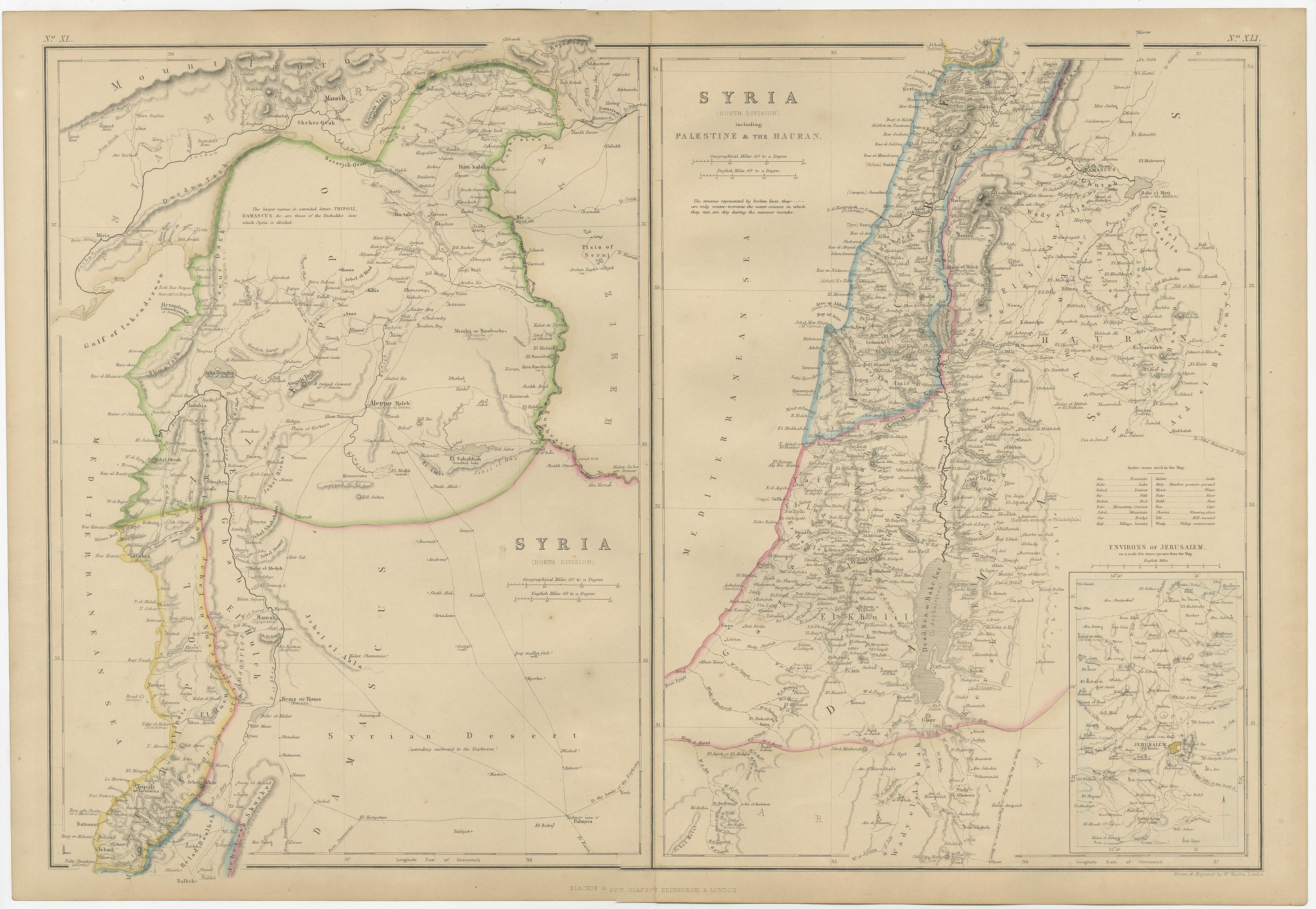
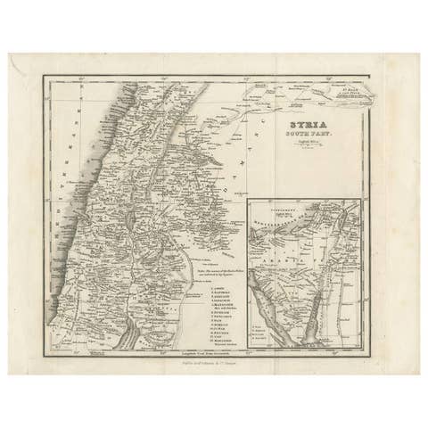
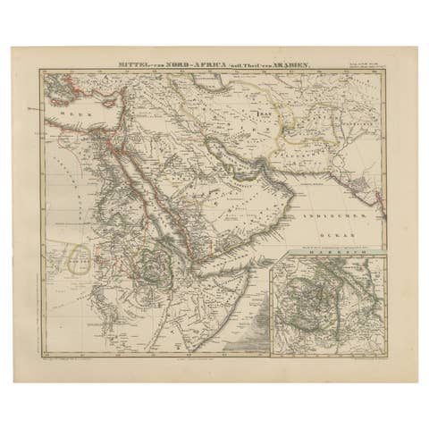
The "Antique Map of Syria, North and South Division" by W. G. Blackie, dated 1859, is a significant historical cartographic work. This map, originating from the mid-19th century, provides a detailed depiction of Syria, divided into its northern and southern regions, as understood during that time.
Key features and characteristics of this map include:
1. **Geographical Detail**: The map presents a comprehensive view of the topographical features of Syria, including mountain ranges, rivers, valleys, and coastal areas. It meticulously outlines the physical landscape of both the northern and southern divisions of the region.
2. **Political Boundaries**: Given the historical period, the map likely delineates the administrative and political boundaries as they were recognized in 1859. This provides a fascinating insight into the historical territorial demarcations in Syria before the significant geopolitical changes of the 20th century.
3. **Cities and Settlements**: Major cities, towns, and possibly even smaller villages and settlements of the time are marked. This aspect of the map offers a glimpse into the urban distribution and important centers in 19th-century Syria.
4. **Historical and Cultural Annotations**: The map may contain annotations or legends that provide additional information on significant historical or cultural sites, trade routes, and other notable features of the region.
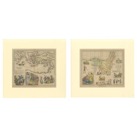
5. **Artistic Elements**: Typical of the period, the map likely includes artistic flourishes such as decorative borders, elaborate title design, and possibly even vignettes or illustrations that add to its aesthetic appeal.
6. **Educational Value**: As a historical document, this map serves as an educational tool for understanding the geography of Syria as perceived in the mid-19th century, making it invaluable for historians, geographers, and enthusiasts of Middle Eastern history.
This map, as a part of Blackie's cartographic works, reflects the high level of detail and accuracy that was achievable in the 19th century and stands as a testament to the cartographic skills of the era.