No longer available
Antique Plan of Philippeville by Harrewijn (1769)
This sheet is no longer available. Each item we offer is a single original, so once it has gone it cannot be restocked. Below are available sheets from the same part of the collection.
Browse The Netherlands & Belgium Ask us to look for another copy
Available now in The Netherlands & Belgium
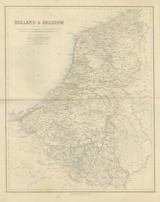
Antique Map of Holland and Belgium with Foreign Possessions Table, circa 1860
circa 1860 · € 370
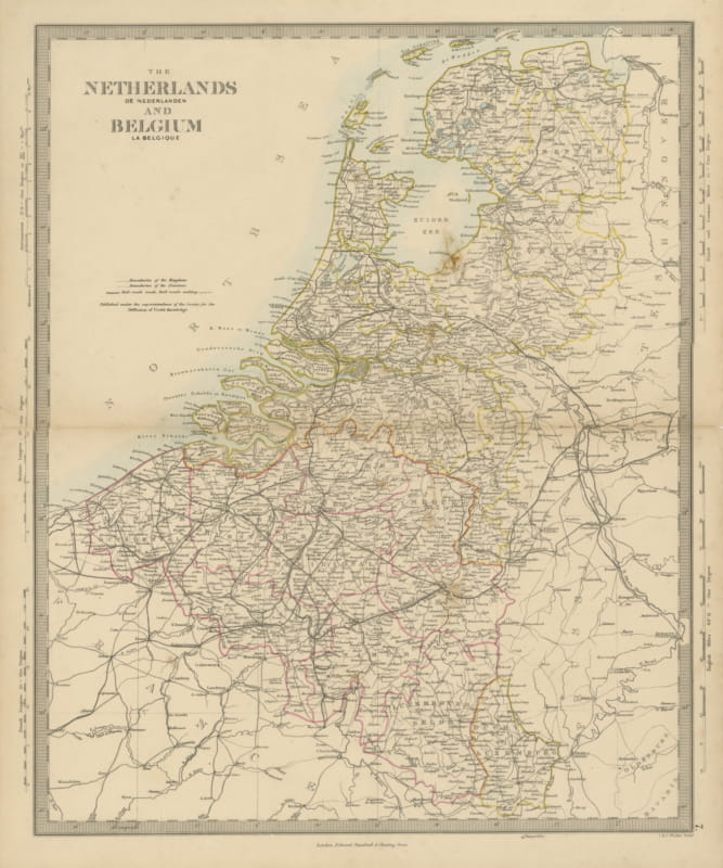
Antique Map of the Netherlands and Belgium, Zuider Zee and Railways, 1858
1858 · € 90
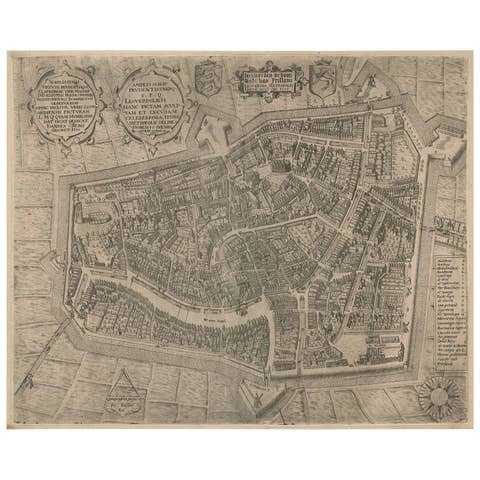
Rare Antique Map of Leeuwarden by P. Bast, 1603, Wall Art, Netherlands
1603 · € 4 250
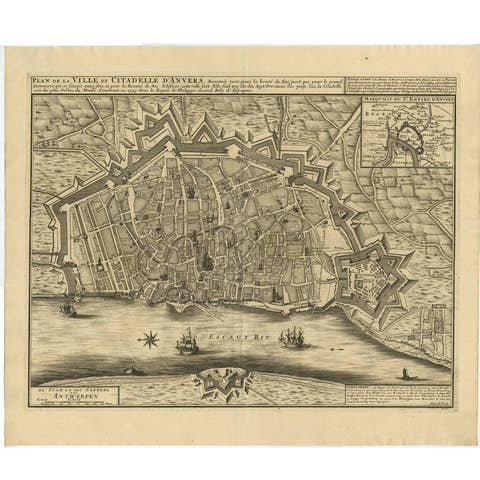
Antique Map of the City of Antwerpen ‘Belgium’ by A. Deur, 1729
1729 · € 770
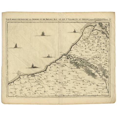
Antique Map: Estuaries of the Somme & Bresle, Northern France & Netherlands
€ 600
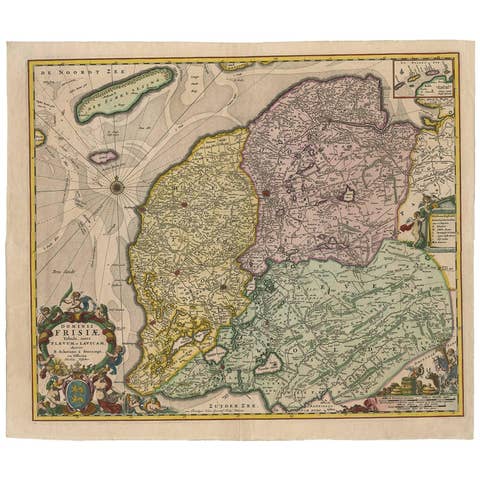
Antique Map: Friesland and Terschelling with Inset Isles, by Visscher II, 1670
1670 · € 975
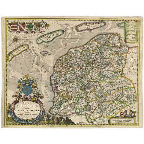
Antique Map of Friesland 'The Netherlands' by B. Schotanus, 1664
1664 · € 1 675
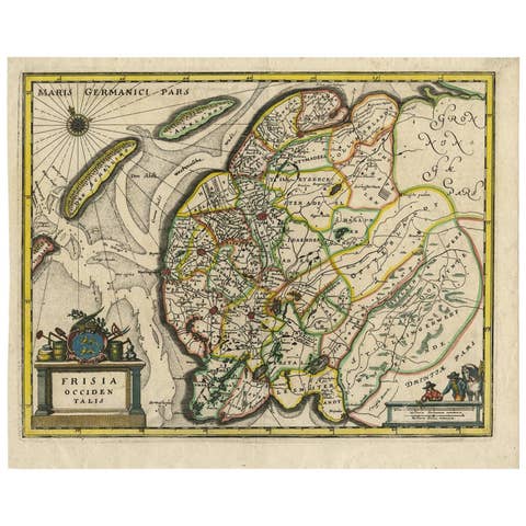
Original Antique Hand-Colored Map of Friesland by C. Merian, 1659
1659 · € 380
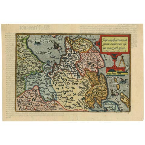
Antique Map of Friesland 'The Netherlands' by J. Bussemacher, 1596
1596 · € 580
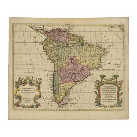
Map of South America 1792 by Elwe – Hand-Colored Antique Dutch Engraving
1792 · € 1 700
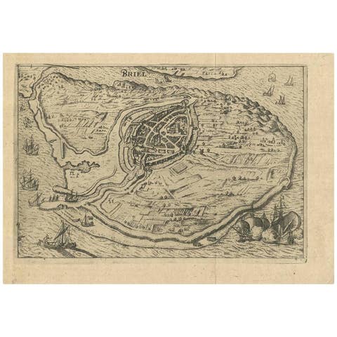
Antique Map of Brielle, Netherlands by L. Guicciardini, 1625 Edition
1625 · € 180
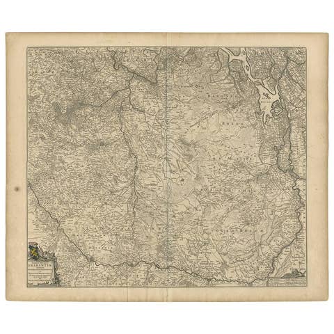
Antique Map of Brabant 'The Netherlands' by N. Visscher, circa 1670
1670 · € 620