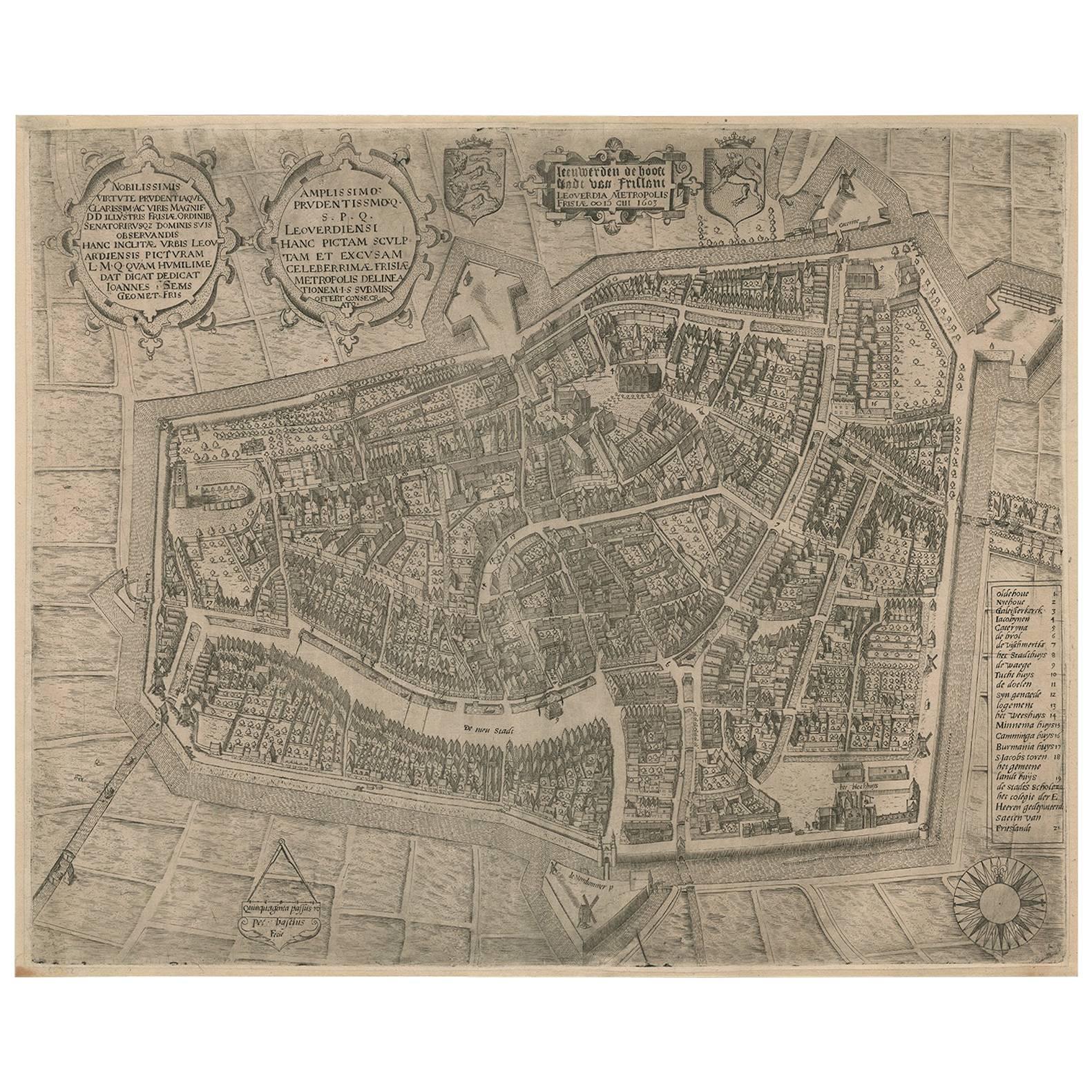
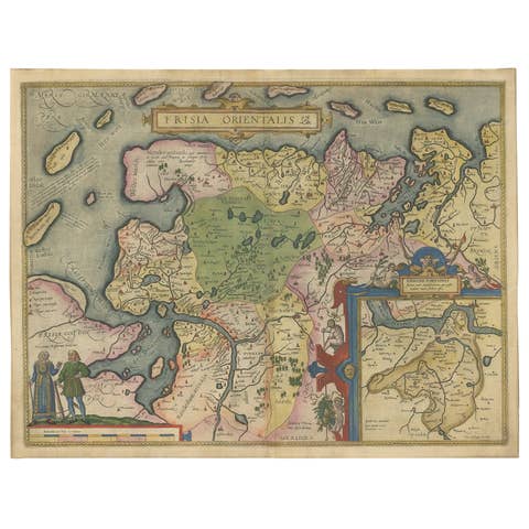
Rare Antique Map of Leeuwarden by P. Bast, 1603, Wall Art, Netherlands
€ 4 250
One of a kind: this is the sheet in the photographs. Ships from Langweer, the Netherlands.
Date
1603
Mapmaker / artist
P. Bast (Artist)
Technique
Engraved
Sheet size
41 × 50.5 cm (16.1 × 19.9 in)
Condition
Good
Reference
BG-02117
Condition
Overall light to moderate age toning and uniform wear consistent with early 17th-century paper. Minor foxing and light surface soiling. Small marginal stains and faint creases. Plate impression clear and strong; margins ample with no major losses.
About this sheet
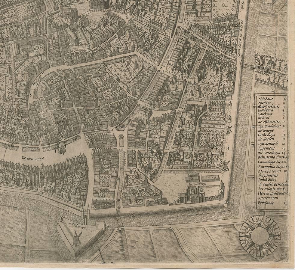
Rare Antique Map of Leeuwarden, Friesland, The Netherlands, by P. Bast, 1603
This exceptionally rare city plan depicts Leeuwarden, the capital of Friesland in the northern Netherlands, as it appeared in the early 17th century. Engraved by Pieter Bast after a detailed survey by the renowned engineer and surveyor Johan Sems, and published in 1603 by Jan Lamrinck (Ioannem Lamrinck), the map ranks among the earliest and most important printed plans of Leeuwarden.
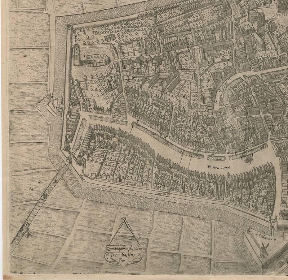
The plan presents the fortified city in precise detail, showing its polygonal bastioned defenses, moats, canals, and street layout with remarkable clarity. Individual houses, churches, public buildings, and gardens are carefully delineated, reflecting the growing Dutch interest in urban planning, military engineering, and accurate land surveying at the dawn of the Golden Age. The surrounding fields and waterways emphasize Leeuwarden’s strategic position within the Frisian landscape.
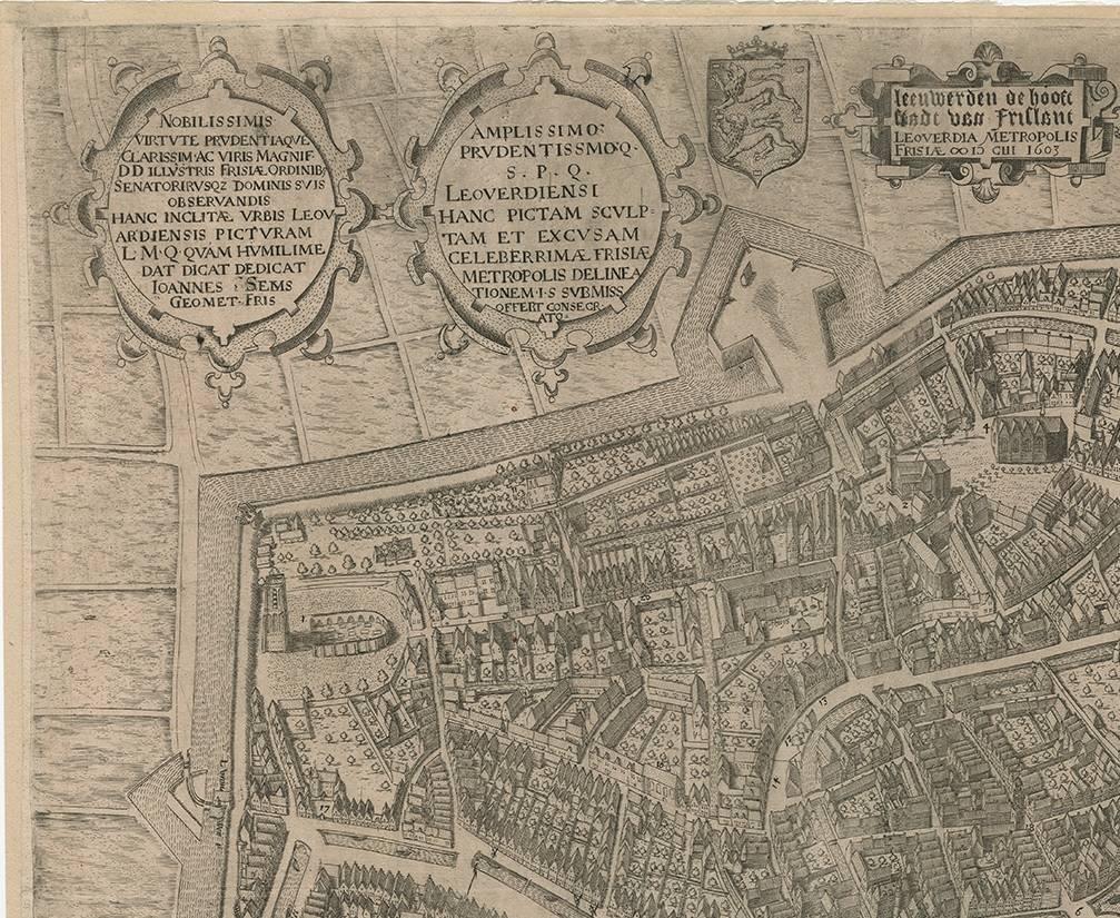
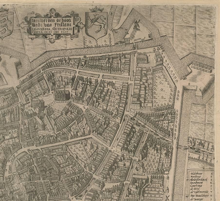
Several ornamental cartouches enrich the composition, including dedicatory inscriptions and coats of arms that underline the civic pride and political status of the city. A clearly engraved legend identifies key locations within the urban fabric, while the compass rose at the lower right provides orientation and adds a decorative balance to the overall design. The combination of functional clarity and refined ornamentation is characteristic of Pieter Bast’s work and of early Dutch city cartography more broadly.
As one of the earliest printed plans based on an actual survey, this map is not only a topographical document but also a historical record of Leeuwarden’s urban form at a pivotal moment in its development. Its rarity, early date, and strong visual presence make it highly desirable for collectors of Dutch cartography, Frisian history, and early modern city plans.
Technique: Copper engraving Maker: Pieter Bast after Johan Sems, published by Jan Lamrinck, Netherlands, 1603