About this sheet
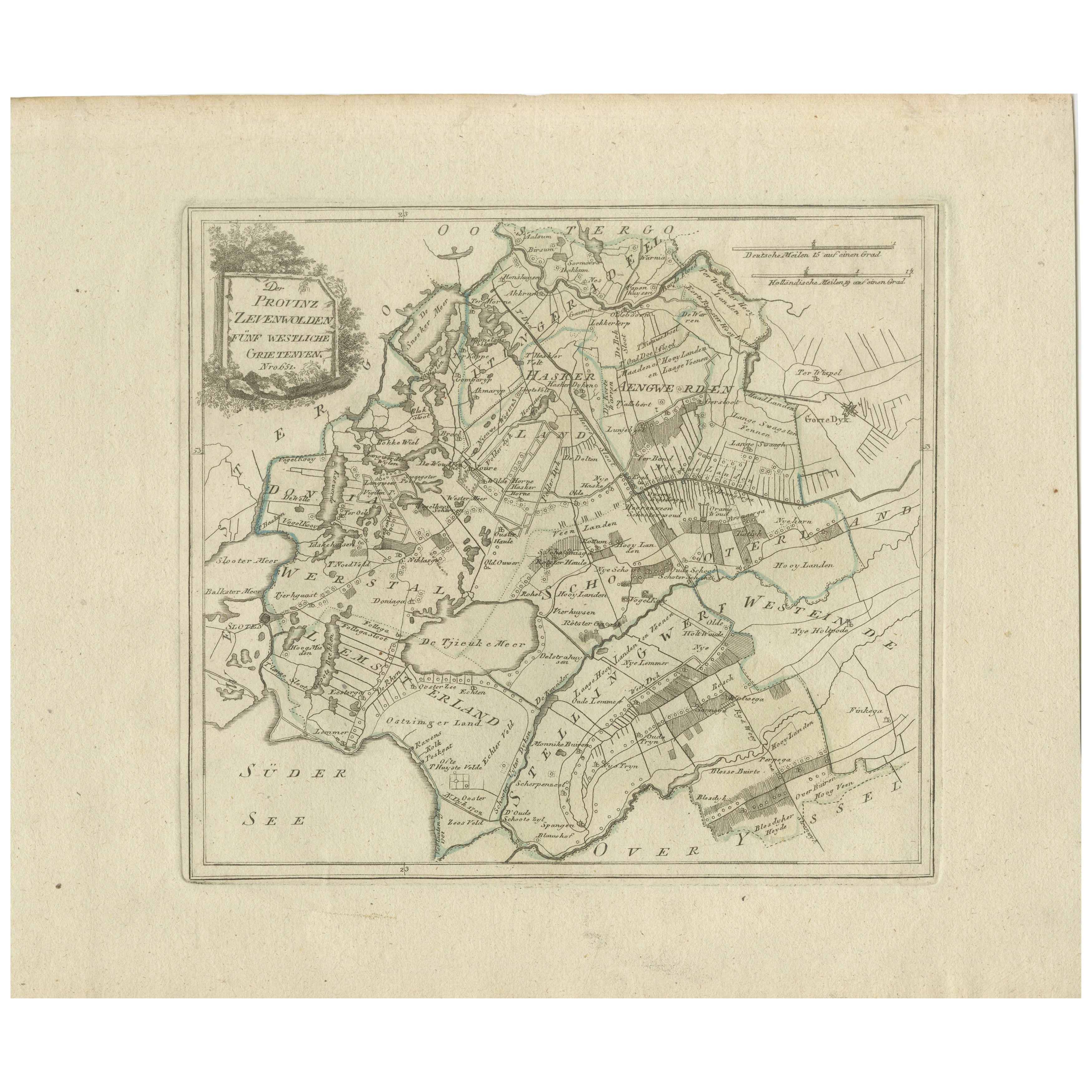
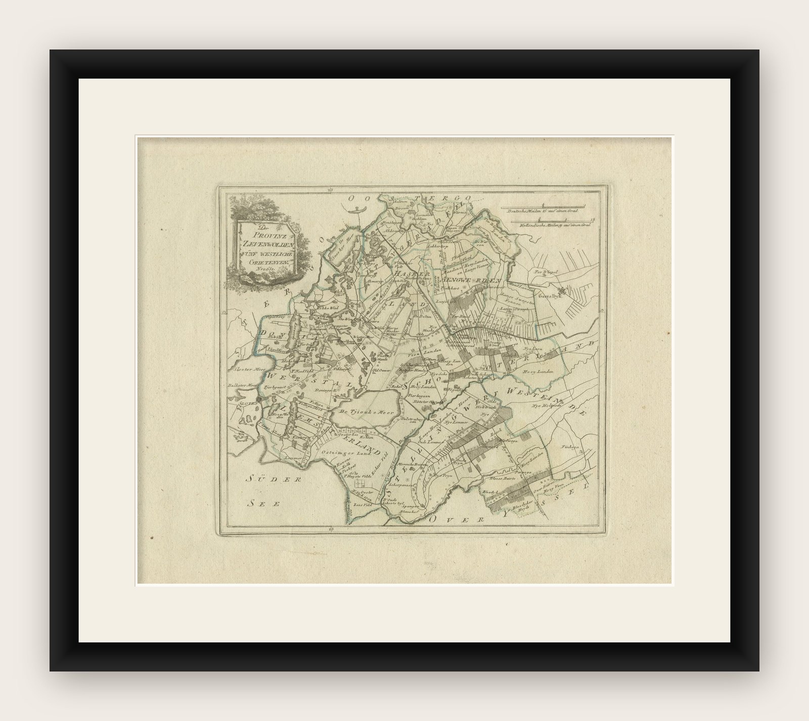
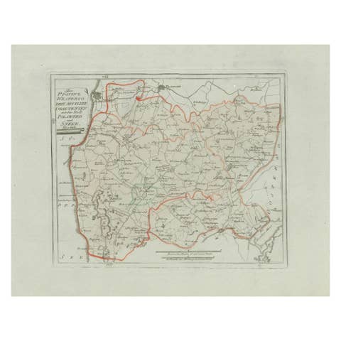
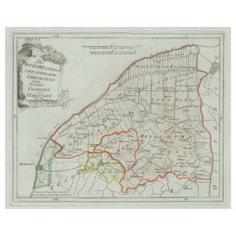
Antique Map of Zevenwolden, Friesland by von Reilly, 1791
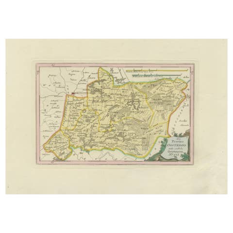
Original engraved map titled Der Provinz Zevenwolden fünf westliche Grietenyen No. 644, published in Vienna in 1791. This sheet depicts the district of Zevenwouden (Sevenwolden) in Friesland, showing its towns, villages, waterways, and reclaimed lands in fine detail. It was engraved by Ignaz Alberti for Franz Joseph Johann von Reilly’s Schauplatz der fünf Theile der Welt, the monumental Austrian atlas project of the late 18th century.
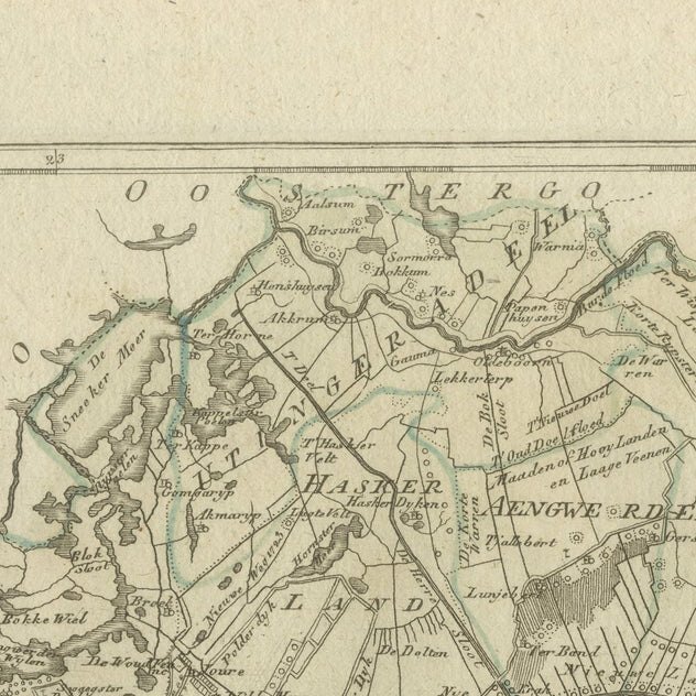
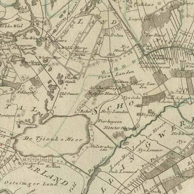
The map includes numerous Frisian settlements. Major places shown include Heerenveen, Oldeboorn, Akkrum, Joure, Langweer, Gorredijk, and Beetsterzwaag, alongside smaller villages such as Terband, Nieuwehorne, Oudehorne, Katlijk, Mildam, Oranjewoud, Luxwoude, Tijnje, Aldeboarn, Nes, Raerd, Oostermeer (Eastermar), Rottevalle, Boornbergum, and Lippenhuizen. Southern Friesland’s lakes and waterways are visible, including De Tjonger (Kuinder), the Sneeker Meer (Sneeker Lake), and the De Veenhoop area with its peatlands.
This sheet offers an especially detailed view of Friesland’s peat colonies and agricultural regions, where waterways and canals structured both settlement and economy. It reflects the importance of Zevenwouden in the 18th century as a landscape of farming, peat extraction, and village development.
The decorative cartouche at upper left frames the title in foliage, adding a touch of elegance to this otherwise practical provincial map. Boundaries are highlighted in subtle original hand coloring, underscoring the administrative divisions (grietenijen).
This map is highly desirable for collectors of Dutch provincial cartography and Austrian atlas work. Its rich coverage of towns and villages makes it particularly valuable for genealogical or regional historical research in Friesland.
Condition report: Very good condition with light overall toning. Small marginal signs of age outside the engraved area. Original hand coloring intact. Blank verso.
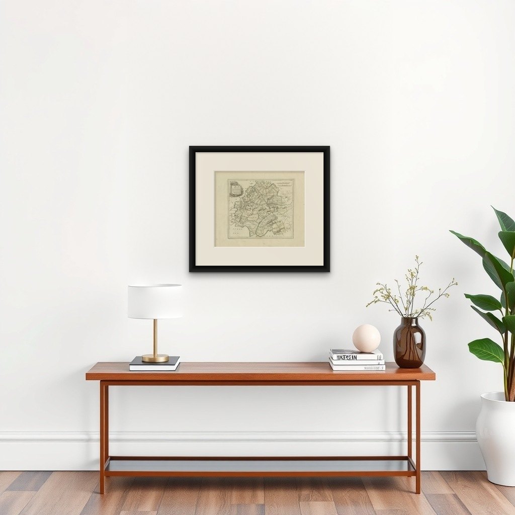
Framing tips: A dark walnut or gilt frame with a cream mat will highlight the engraved details. For added refinement, a thin blue or green inner line in the mount can echo the water and boundary coloring.