About this sheet
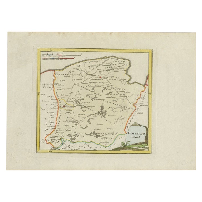
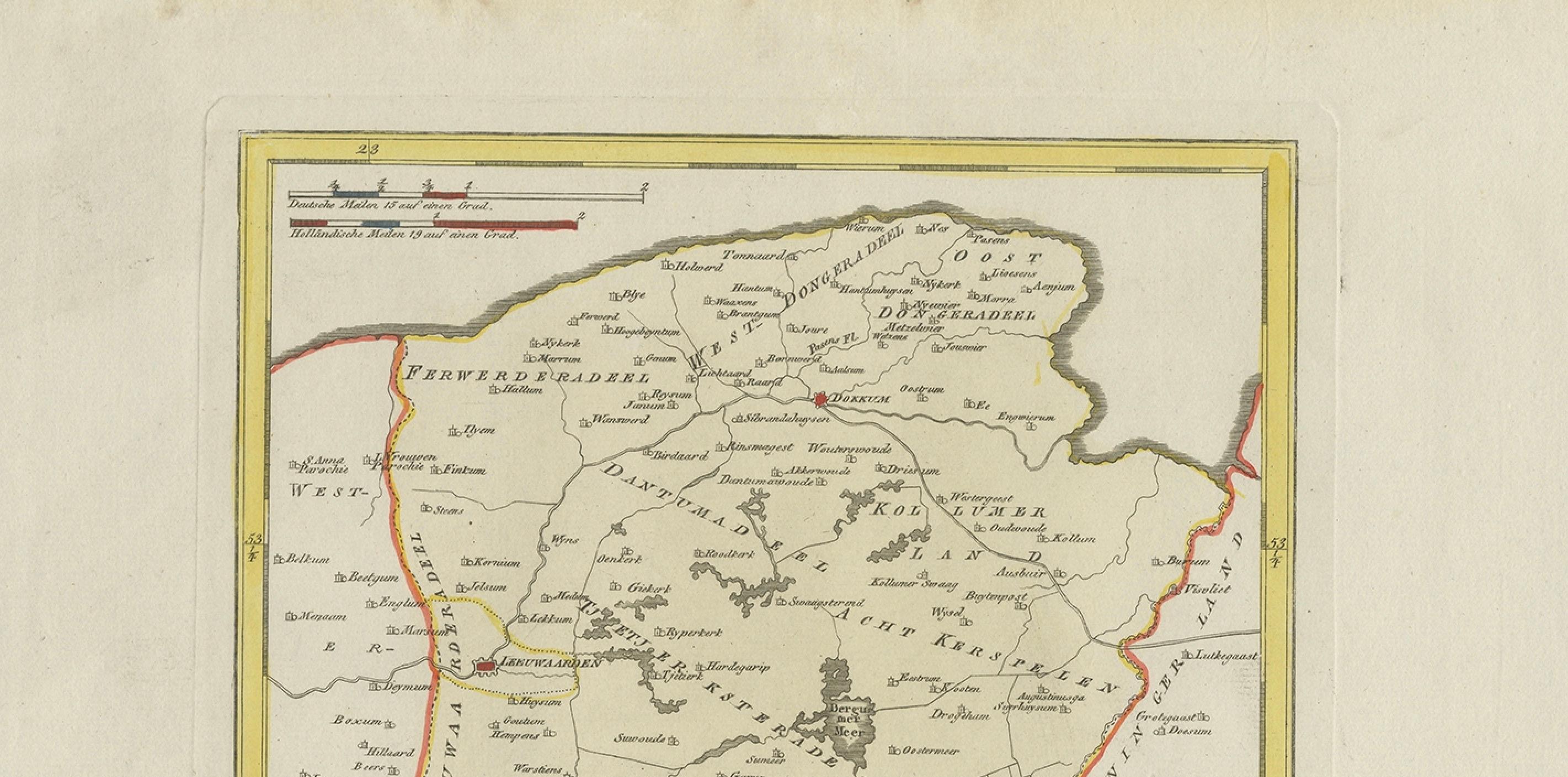
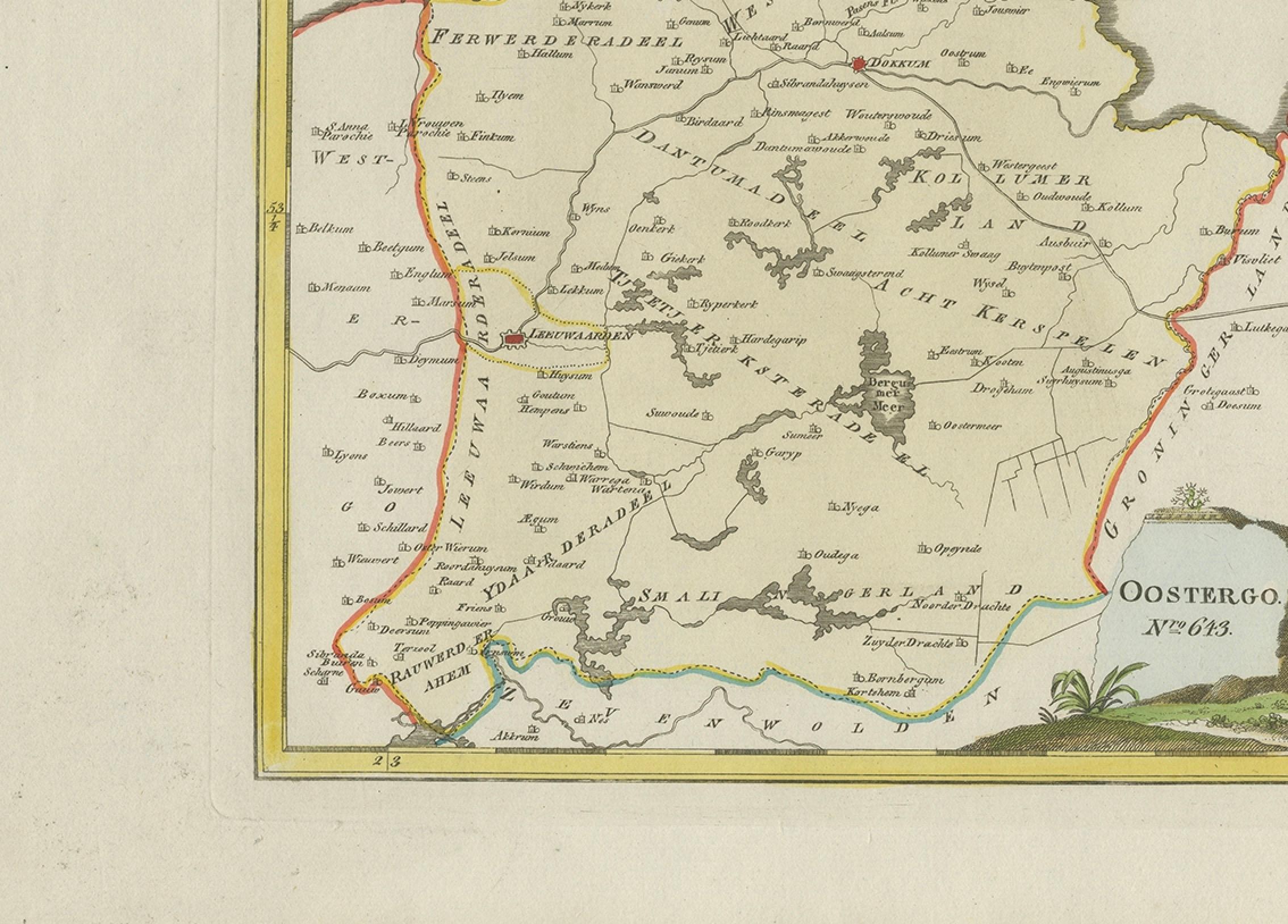
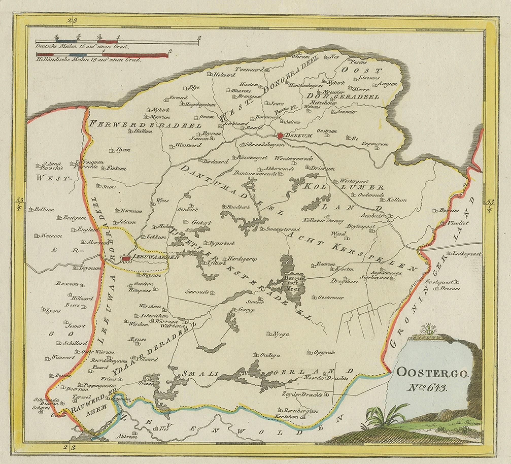
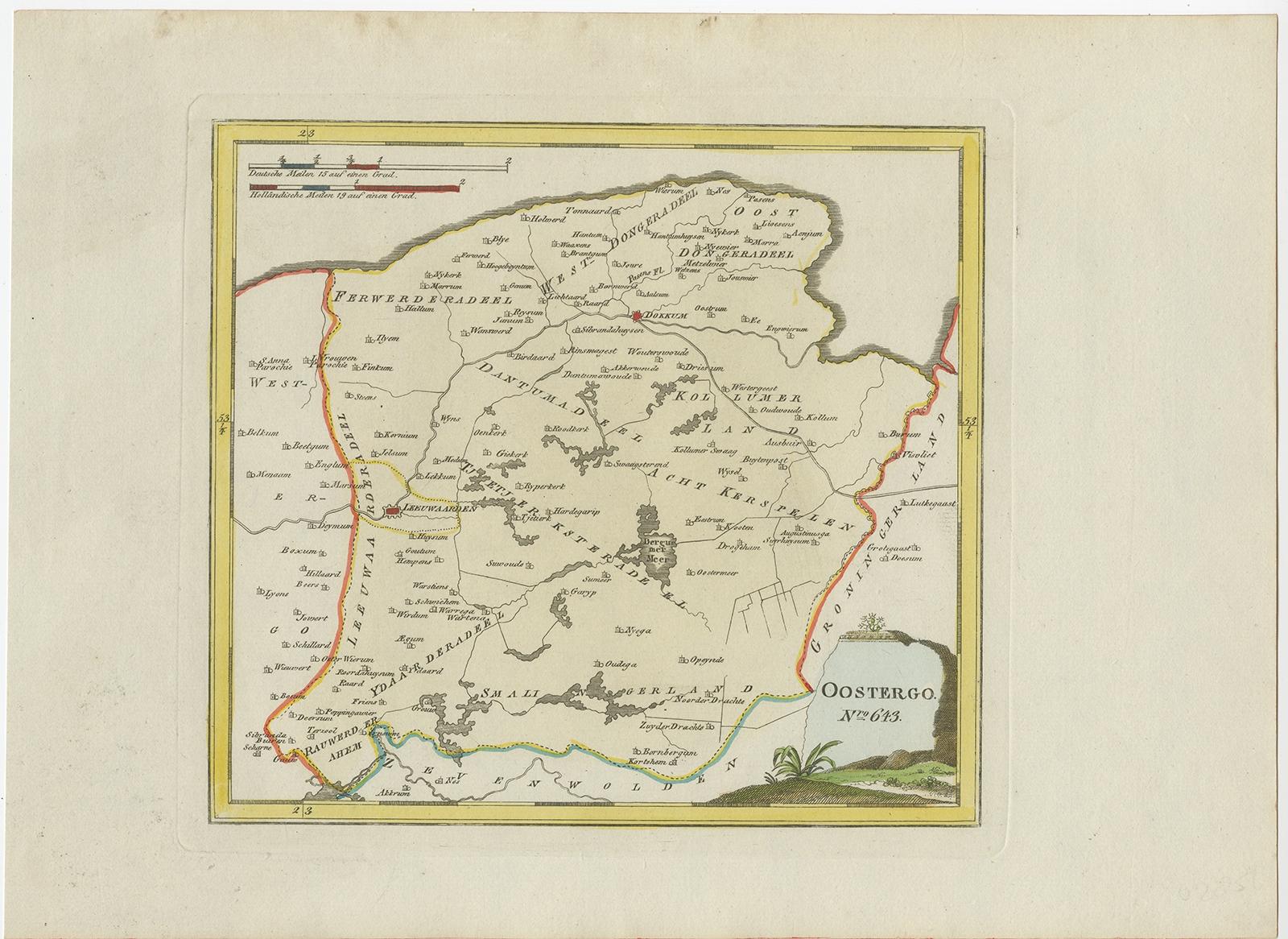
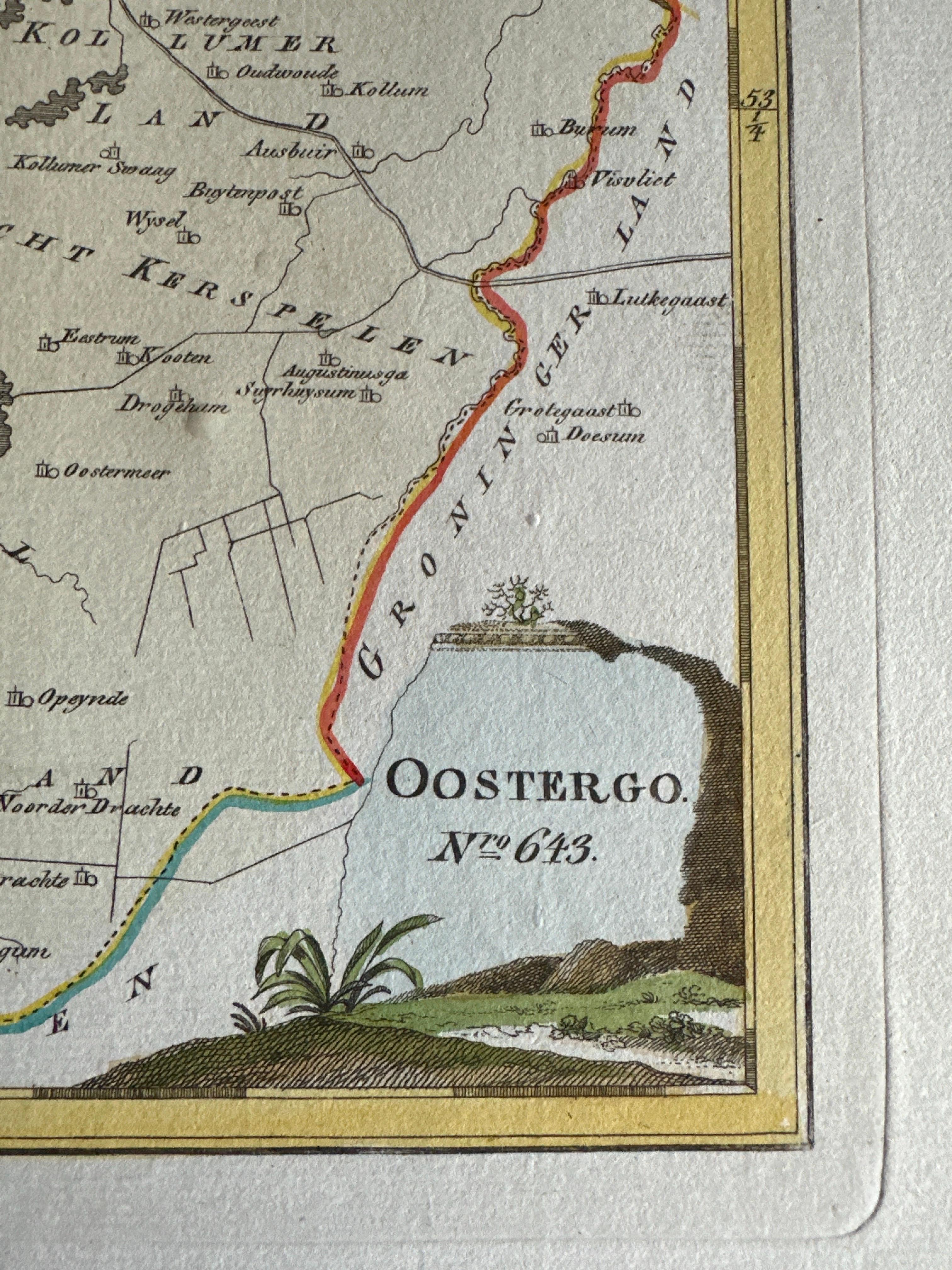
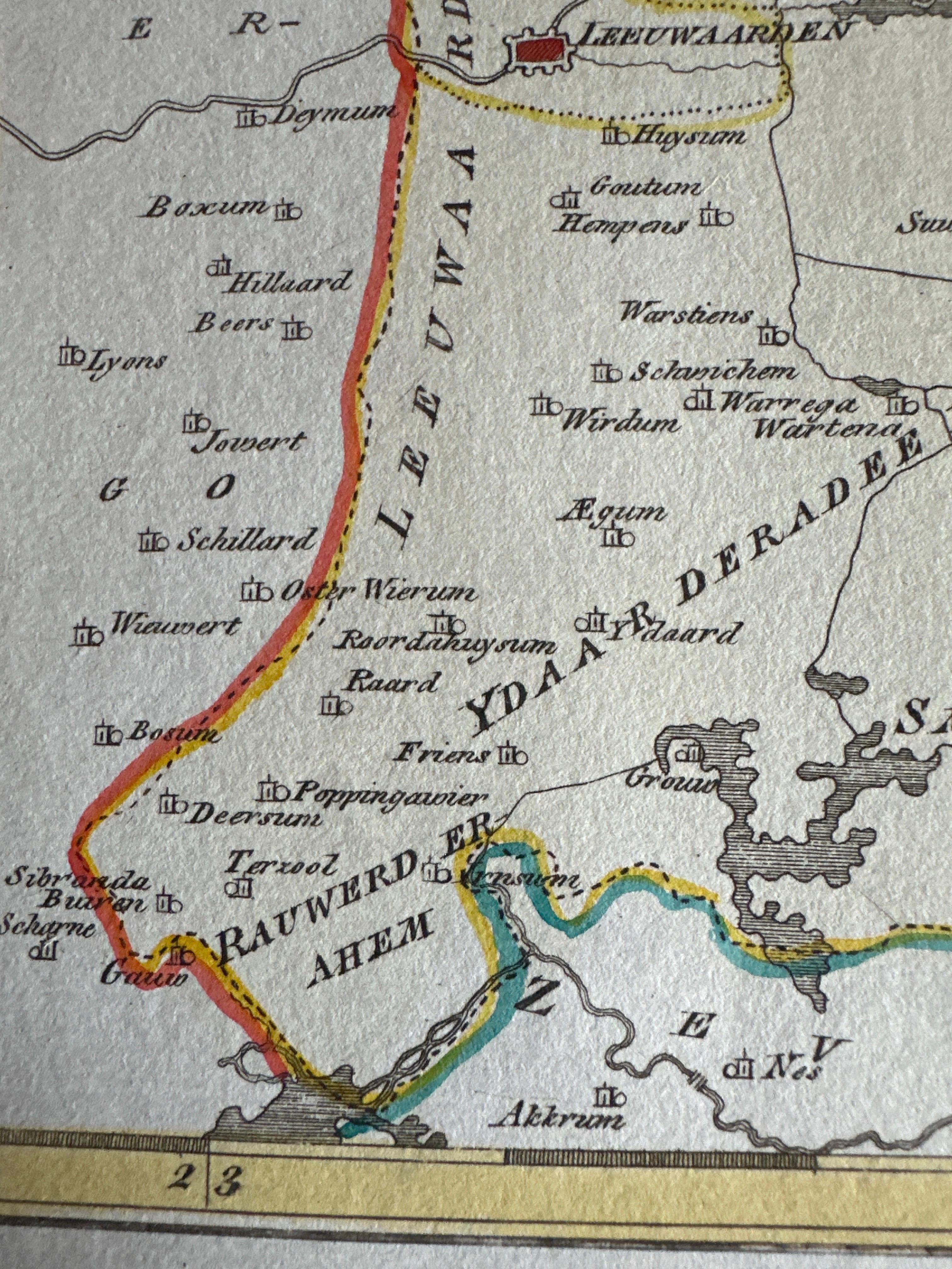
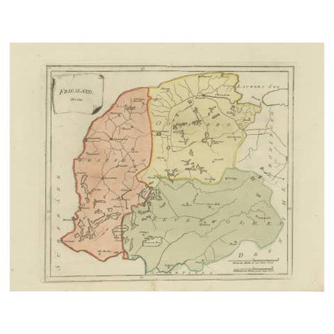
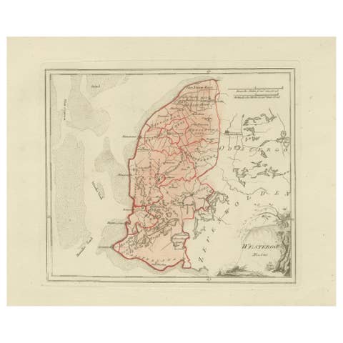
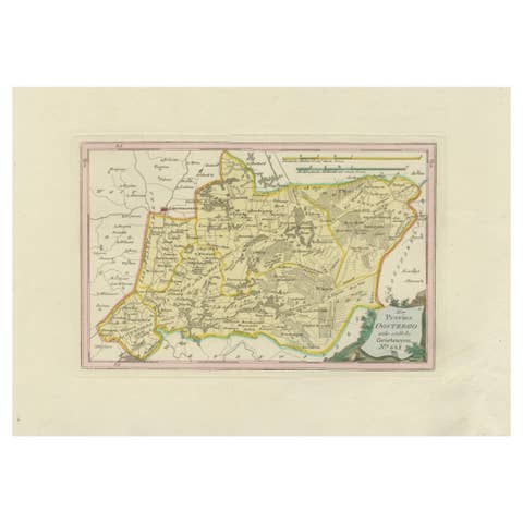
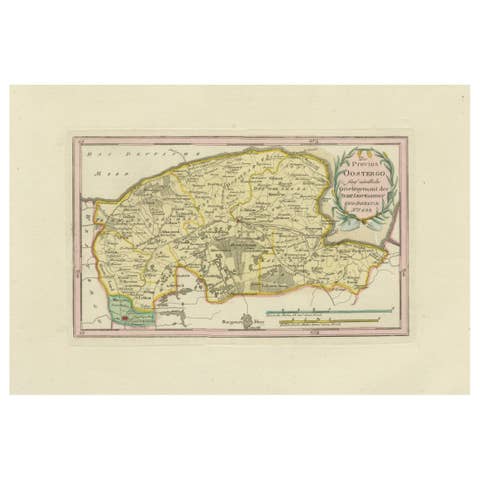
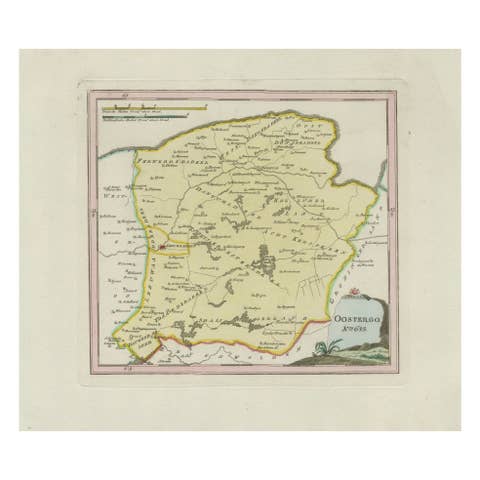
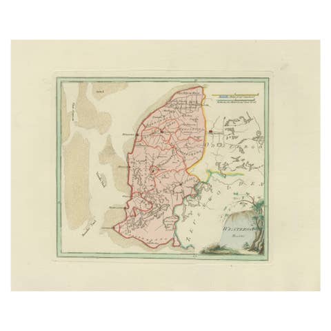
Fine original 18th-century engraved map of Oostergo, one of the historic quarters of Friesland, the Netherlands. Published in Vienna in 1791 as part of Franz Johann Josef von Reilly’s ambitious world atlas Schauplatz der fünf Theile der Welt, the sheet depicts the northern and eastern parts of Friesland. The map highlights towns, villages, waterways, and dikes, with clear district boundaries emphasized in contemporary outline hand-colour. The Zuiderzee coast, Lauwerszee, and borders with Groningen and Drenthe are indicated, while the title cartouche in the lower right carries the inscription “Oostergo No. 643” in von Reilly’s distinctive Viennese style.
Von Reilly (1766–1820) was a Vienna-based publisher and map dealer who sought to compile one of the most comprehensive atlases of his age, combining clarity and detail. His maps were engraved by Ignaz Alberti (also Albrecht, 1760–1794), an Austrian illustrator and engraver known for fine linework and legibility. These maps are particularly valued for documenting the Dutch provinces at the end of the 18th century with both decorative and historical charm.
The map of Oostergo is of strong regional interest, showing settlements such as Dokkum, Kollum, Ferwerd, Buitenpost, Bergum (Burgum), and numerous surrounding villages. With its wide margins, clear impression, and hand-coloured borders, this is a desirable example for collectors of Friesland maps, Dutch history, and Enlightenment cartography.
Condition report:
Good condition. General age-related toning, some light handling marks to margins. Contemporary outline hand-colouring preserved. Strong plate impression with blank verso. No folds, tears, or repairs noted.
Framing tips:
A soft ivory or cream mount highlights the paper tone, while a thin yellow or green inner line can echo the original outline colour. A walnut or dark wood frame provides classical depth; for a lighter appearance, oak or maple is also suitable.
Important places on the von Reilly 1791 map of Oostergo (Friesland):
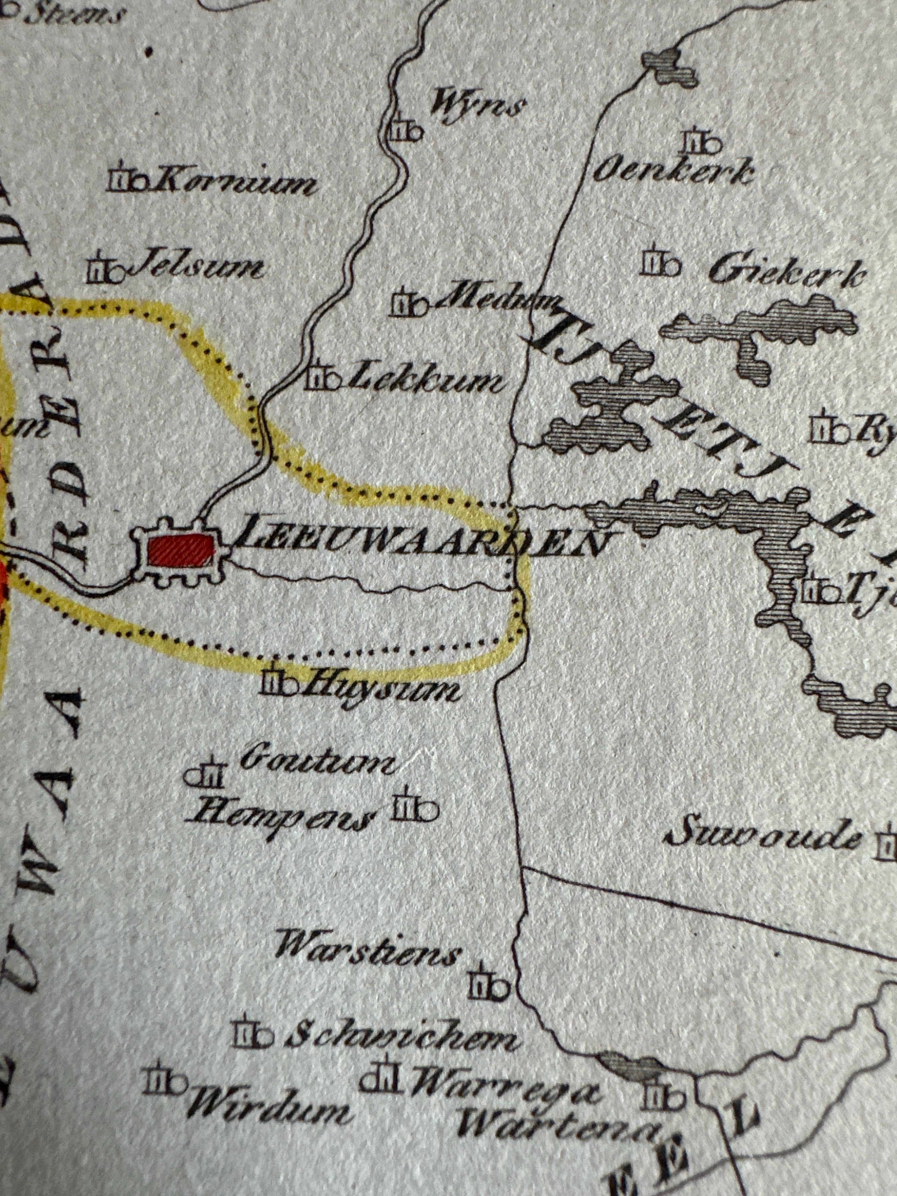
Leeuwarden – capital of Friesland, main city of the province
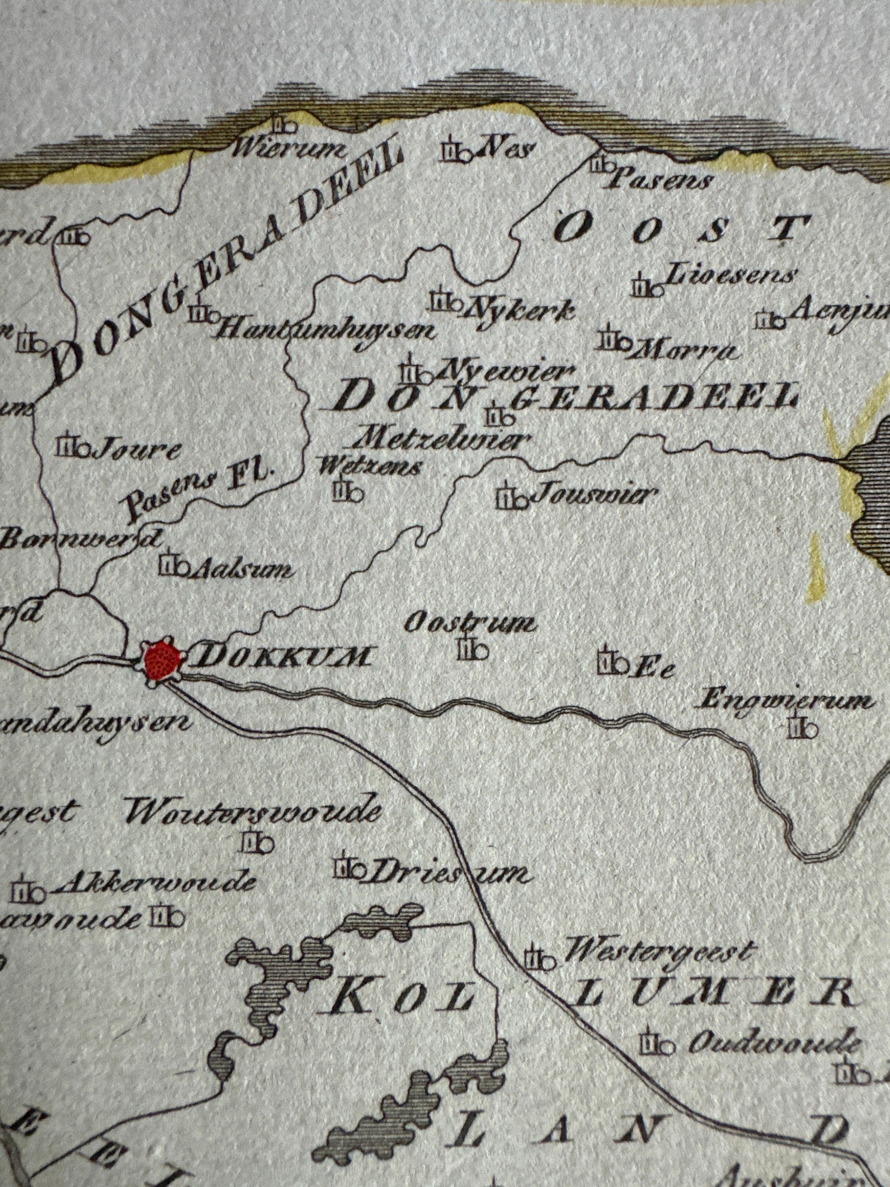
Dokkum – fortified town, important religious and trading centre
Kollum – regional market town in the northeast
Ferwerd (Ferwerderadeel) – village and former municipality
Buitenpost – settlement between Dokkum and Groningen border
Burgum (Bergum) – central village in Oostergo quarter
Broeksterwoude – smaller settlement
Oostrum – village near Dokkum
Engwierum – settlement near the Lauwerszee
Ee – historic Frisian village
Stroobos – border village between Friesland and Groningen
Geographic features:
Lauwerszee – former inland sea, later transformed into Lauwersmeer
Zuiderzee – along the western edge, later IJsselmeer
Borders with Groningen and Drenthe – shown in outline colour
Extensive waterways, dikes, and polders – typical of Frisian landscape management