About this sheet
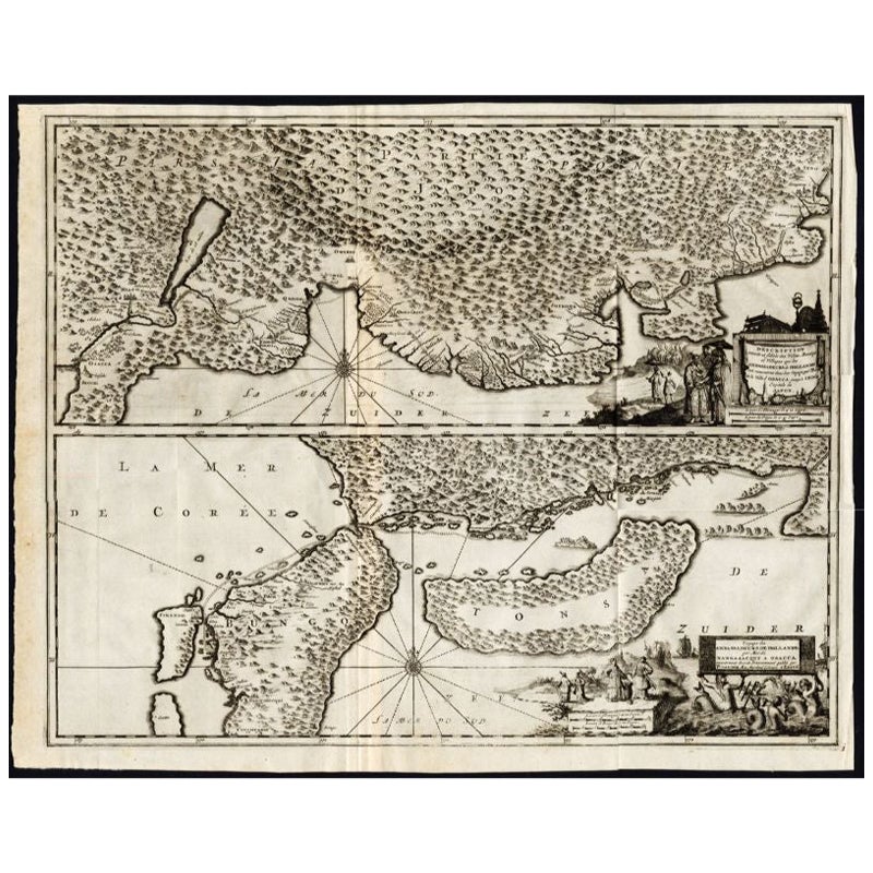
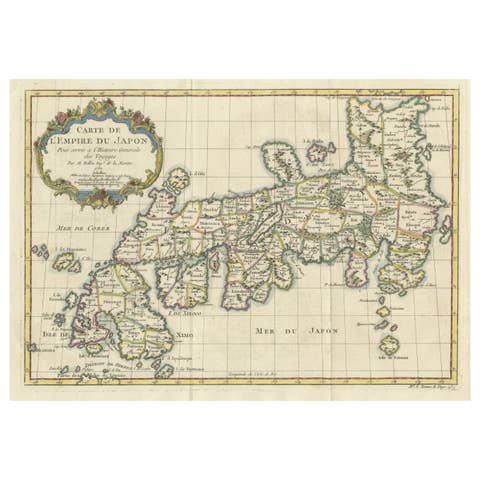
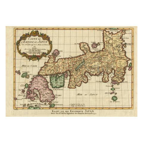
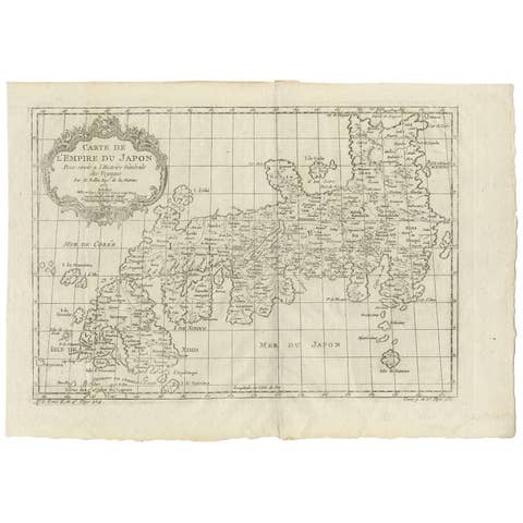
Antique map titled 'Description exacte et fidele des villes, bourgs et villages qui les Ambassadeurs de Hollande ont rencontrez dans leur voyage par terre de la ville Osacca jusqu'a Iedo Capitale du Japon. - Voyage des Ambassadeurs de Hollande par mer de Nangasaqui a Osacca (..).' Two maps on one sheet. The upper map shows the region of Osaka, Japan. The lower map shows the region of Hirado Island, Nagasaki. This map originates from the very scarse: 'La Galerie Agreable du Monde (..). Tome premier des Indes Orientales.', published by P. van der Aa, Leyden, c.1725. This famous work was published in 66 parts and is the biggest print / map book ever published. Van der Aa incorporated plates by other publishers such as Blaeu, Visscher, de Wit, Meurs, Montanus, Dapper, Halma, Mortier, Allard in this work and often added broad decorative borders. Probably the costliest and complete universal geographic work ever produced. It is said that only 100 copies were printed. Ref: Koeman Aa9; Phillips 2780 note. This map is printed from an original re-worked plate (new cartouches etc.), which was originally published in 'Gedenkwaerdige gesantschappen der Oost-Indische Maatschappy in 't Vereenigde Nederland, aan de Kaisaren van Japan.' by Arnoldus Montanus, 1669.
Artists and Engravers: Pieter van der Aa (Leiden 1659-1733) was a Dutch publisher best known for preparing maps and atlases. The Galerie Agreable contains plates and maps by the best Dutch engravers: Luiken, Goeree, Mulder, Stoopendaal, Aldert Meijer, Romeyn de Hooghe, ao.
Condition: Good, general age related toning and light staining. Paper edge uncut and thus irregular and with occasional minimal tears.
Date: c.1725
Overall size: 56.5 x 45 cm.
Image size: 53 x 42.5 cm.
We sell original antique maps to collectors, historians, educators and interior decorators all over the world. Our collection includes a wide range of authentic antique maps from the 16th to the 20th centuries. Buying and collecting antique maps is a tradition that goes back hundreds of years. Antique maps have proved a richly rewarding investment over the past decade, thanks to a growing appreciation of their unique historical appeal. Today the decorative qualities of antique maps are widely recognized by interior designers who appreciate their beauty and design flexibility. Depending on the individual map, presentation, and context, a rare or antique map can be modern, traditional, abstract, figurative, serious or whimsical. We offer a wide range of authentic antique maps for any budget.