Maps & PrintsBartele Gallery · Langweer
Home / Antique Maps / World Maps

Antique World Maps

5 original sheets
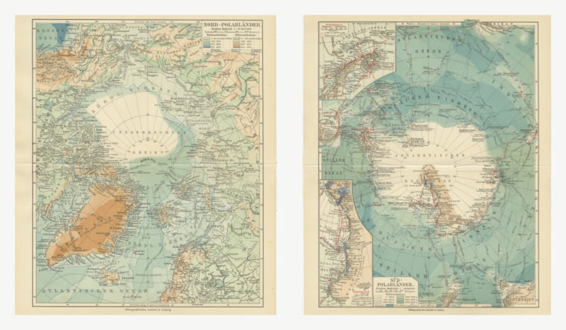
Antique Maps of the North and South Polar Regions, Pair, 1916
1916 · € 240
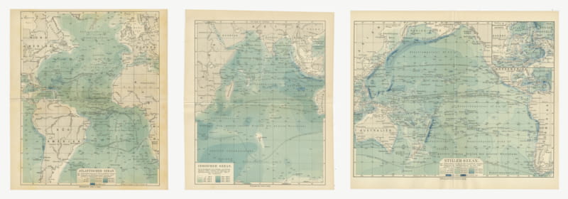
Antique Depth Charts of the Three Great Oceans, Set of Three, 1916
1916 · € 270
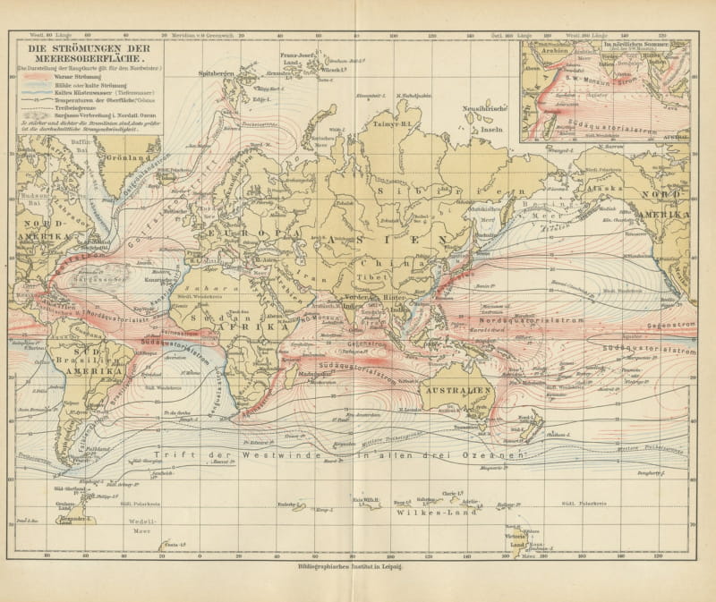
Antique Map of World Ocean Currents, Warm and Cold Drifts, Meyers, 1916
1916 · € 90
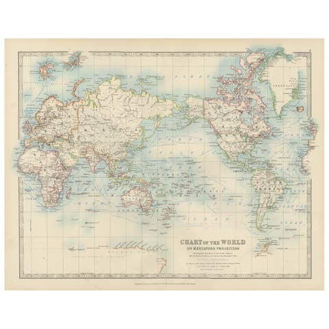
Antique World Map on Mercator's Projection, Ocean Currents and Trade Routes 1903
1903 · € 280
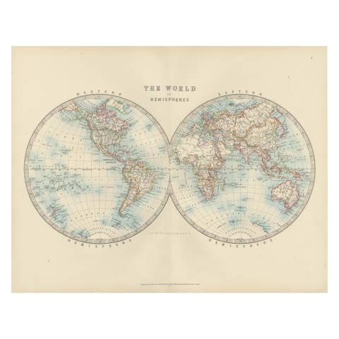
Antique World Map in Hemispheres with Delicate Pastel Coloring, 1903
1903 · € 240

Your favorites

Saved in this browser. Email the list to yourself to keep it on any device.

We use your email to send this list and, only if you tick the box and confirm, for occasional new arrivals. Every email has an unsubscribe link. Bartele Gallery, the Netherlands.