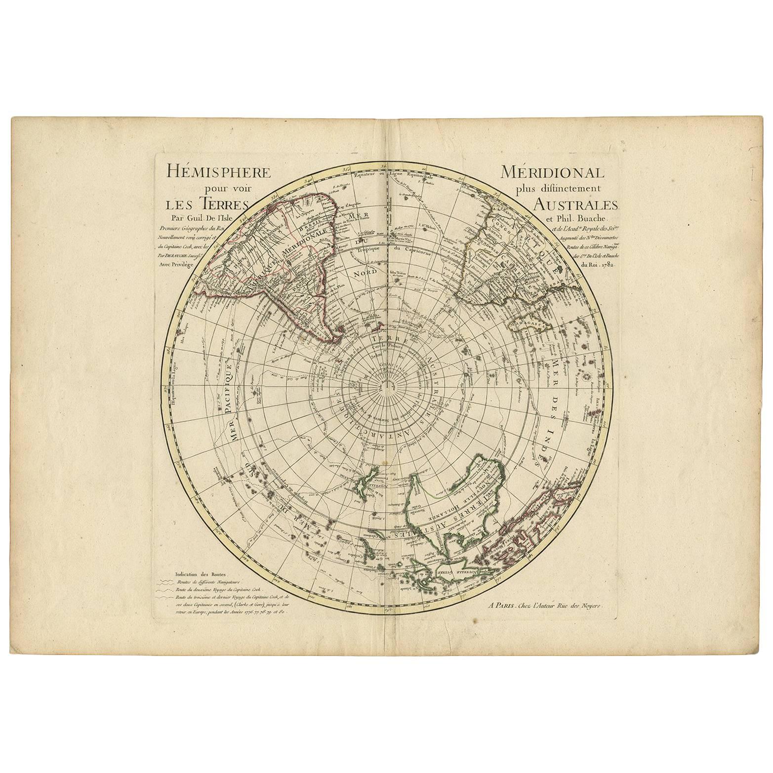
Antique Southern Hemisphere Map by Guillaume De L'Isle, Circa 1783
€ 995
One of a kind: this is the sheet in the photographs. Ships from Langweer, the Netherlands.
Date
1783
Mapmaker / artist
Guillaume De L'Isle (Artist)
Technique
Engraved
Sheet size
54.8 × 76 cm (21.6 × 29.9 in)
Condition
Good
Reference
BG-02120
Condition
Light overall age toning to the paper. Original vertical center fold as issued. Minor foxing and faint scattered spots, mainly in the margins. Small light stain near lower margin. Plate impression clear; margins ample and intact.
About this sheet
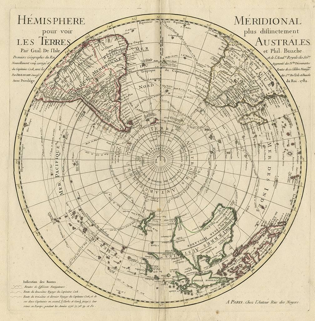
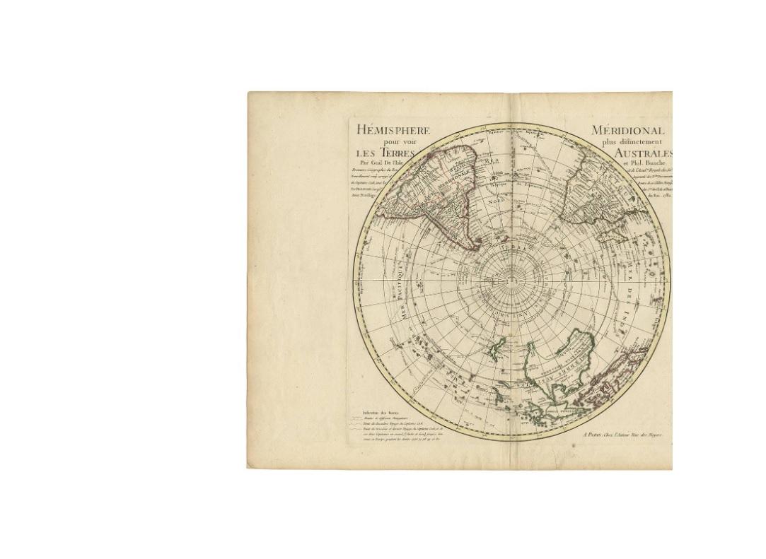
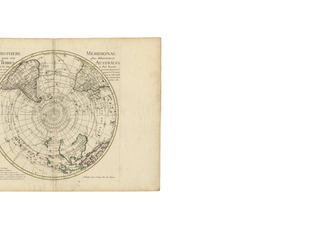
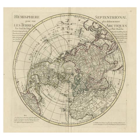
This striking hemispherical map titled “Hémisphere Méridional pour voir plus distinctement Les Terres Australes” presents the southern hemisphere centered on the South Pole, offering a late-18th-century European view of the Antarctic regions and the southern oceans. The map is closely associated with the influential French cartographers Guillaume de l’Isle and Philippe Buache, and was likely issued in a subsequent edition after 1782 from the Atlas géographique et universel published in Paris by Dezauche.
The map reflects the advanced scientific cartography of the French Enlightenment, combining geographic observation with theoretical geography. The southern continents and islands are shown with particular attention to the speculative outlines of Terra Australis, while known landmasses such as southern South America, Africa, Australia, and New Zealand appear with more defined coastlines. Relief is depicted pictorially, adding visual depth to the continental forms.
Of particular interest are the clearly engraved tracks of major exploration voyages across the southern seas, including those of Captain James Cook up to and including his third and final voyage. These routes underline the map’s importance as a document of exploration history, capturing Europe’s rapidly evolving understanding of the Pacific and Antarctic worlds during the late 18th century.
The polar projection emphasizes the vastness of the Southern Ocean and highlights the scientific fascination with the South Pole at a time when it remained entirely unexplored. The map is both a decorative and intellectually significant work, appealing to collectors of early exploration, polar history, and French cartography.
Condition report: Light overall age toning. Original vertical center fold as issued. Minor foxing and faint scattered spots, mostly marginal. Small light stain near lower margin. Plate impression clear; margins ample and intact.
Framing tips: This map frames well with a wide off-white or soft grey mat to emphasize the circular composition. A dark wood or black frame enhances contrast and suits both classical and contemporary interiors.
Technique: Copper engraving Maker: After Guillaume de l’Isle & Philippe Buache, Paris, c.1782