Maps & PrintsBartele Gallery · Langweer
Home / Antique Maps / World Maps

World Maps · 19th century

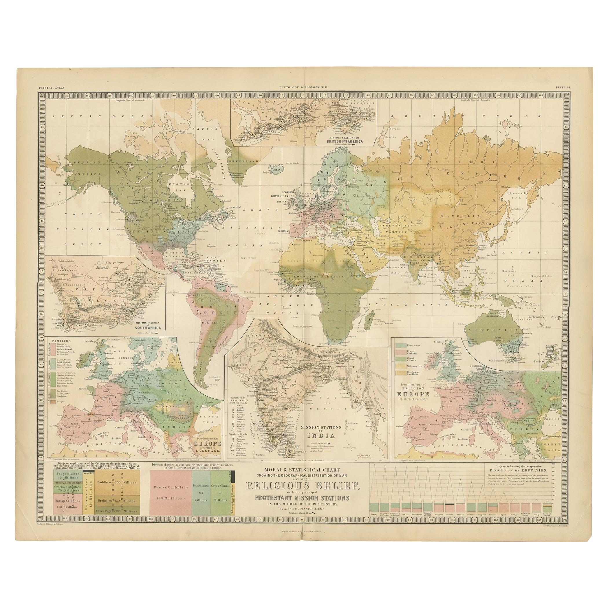
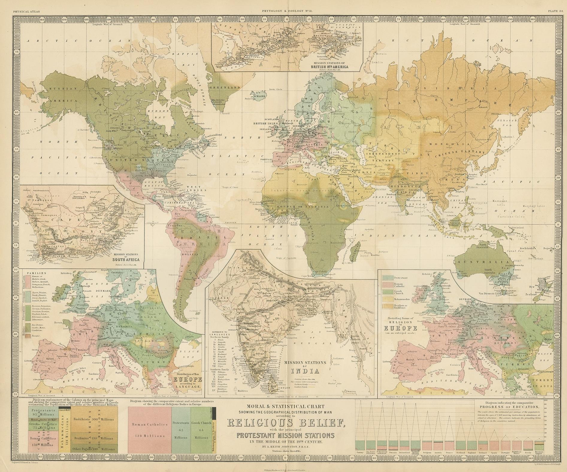
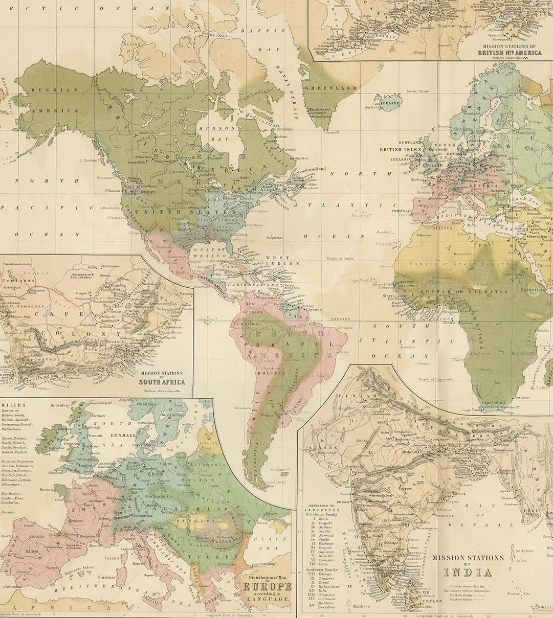
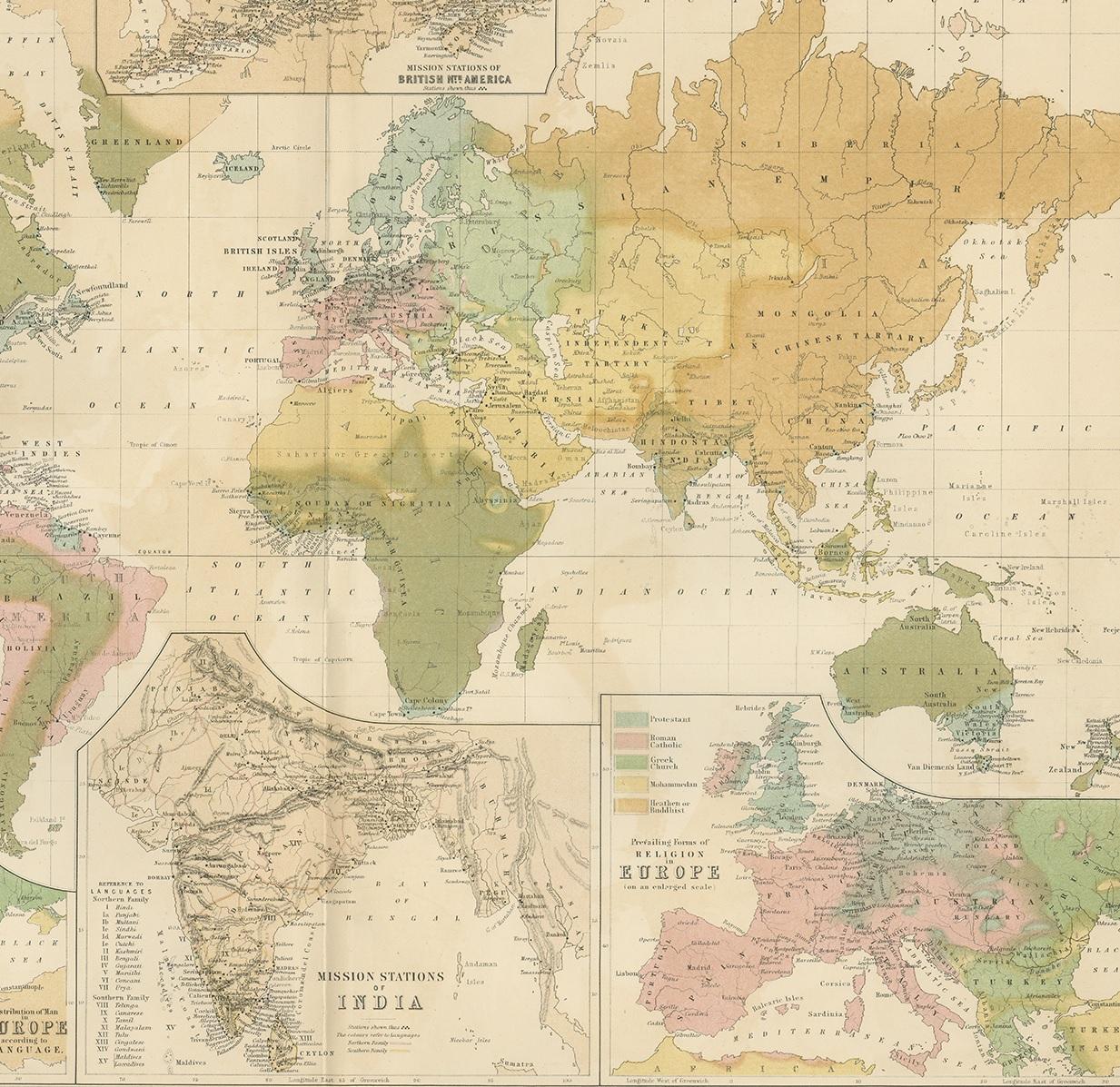
Antique Map Showing the Religions Around the World by Johnston '1854'

€ 697

One of a kind: this is the sheet in the photographs. Ships from Langweer, the Netherlands.

Date
1854
Sheet size
55 × 67 cm (21.7 × 26.4 in)
Condition
Good
Reference
BG-12893

Condition

General age-related toning. Original folding line. Shows some creasing, mainly on the corners of the map. Small split on folding line, minor spotting. Please study images carefully.
About this sheet

Antique map titled 'Moral & Statistical Chart showing the Geographical Distribution of Man According to Religious Belief'. Rare large-size thematic map on the distribution of religions around the world, shown with different colours and diagrams. Shows the Catholics, Protestants, Mohammedans, Jews and Pagans. Three side maps show the distribution of missions in India, South Africa and Canada. Two maps of Europe for languages and religions. This map originates from the 'Physical Atlas' by W. & A.K. Johnston. Published by William Blackwood & Son, 1854.

More from World Maps

Ask about this sheet

Antique Map Showing the Religions Around the World by Johnston '1854'
1854 · Ref. BG-12893 · € 697
We reply by email, usually within one working day.