Antique Maps of United Kingdom & Ireland
369 original sheets
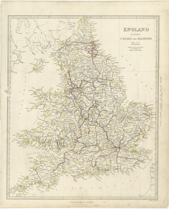
England with its Canals and Railways, Antique Map, Charles Knight, 1845
1845 · € 445
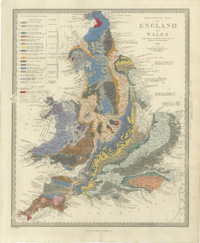
Geological Map of England and Wales by Murchison, Hand Colored, 1843
1843 · € 795
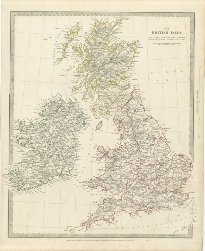
The British Isles, Decorative Antique Map by Charles Knight, 1845
1845 · € 415
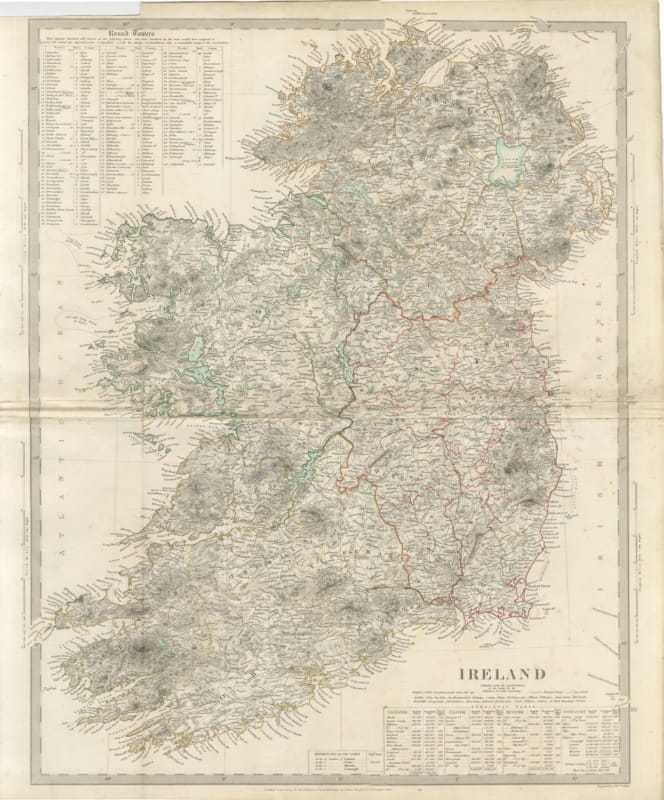
Ireland, Large Antique Map with Round Towers Table, Charles Knight, 1845
1845 · € 395
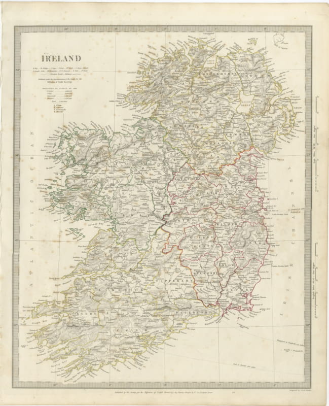
Ireland, Antique Map of the Four Provinces with Census Table, 1845
1845 · € 325
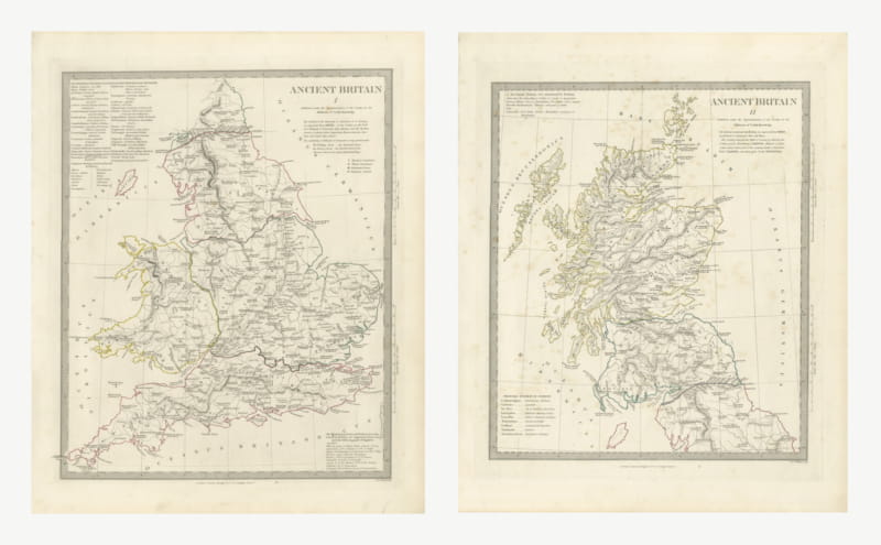
Roman Britain, Antique Map of Britannia and Caledonia on Two Sheets, 1845
1845 · € 455
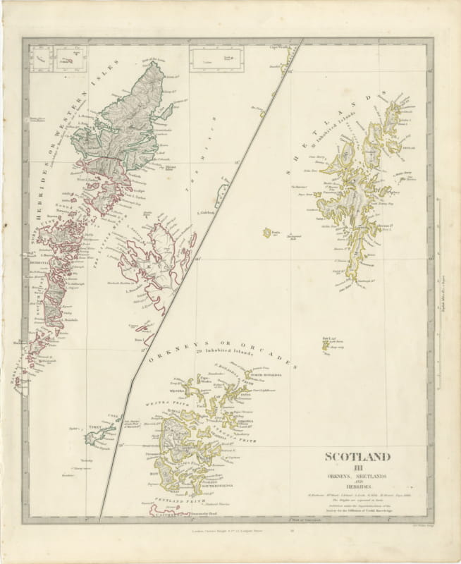
Orkney Shetland and the Hebrides, Antique Map of the Scottish Isles, 1845
1845 · € 345
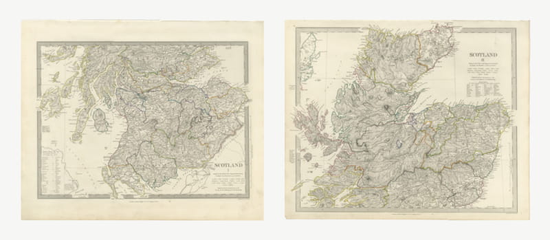
Scotland, Antique Map on Two Sheets, Highlands and Lowlands, 1845
1845 · € 845
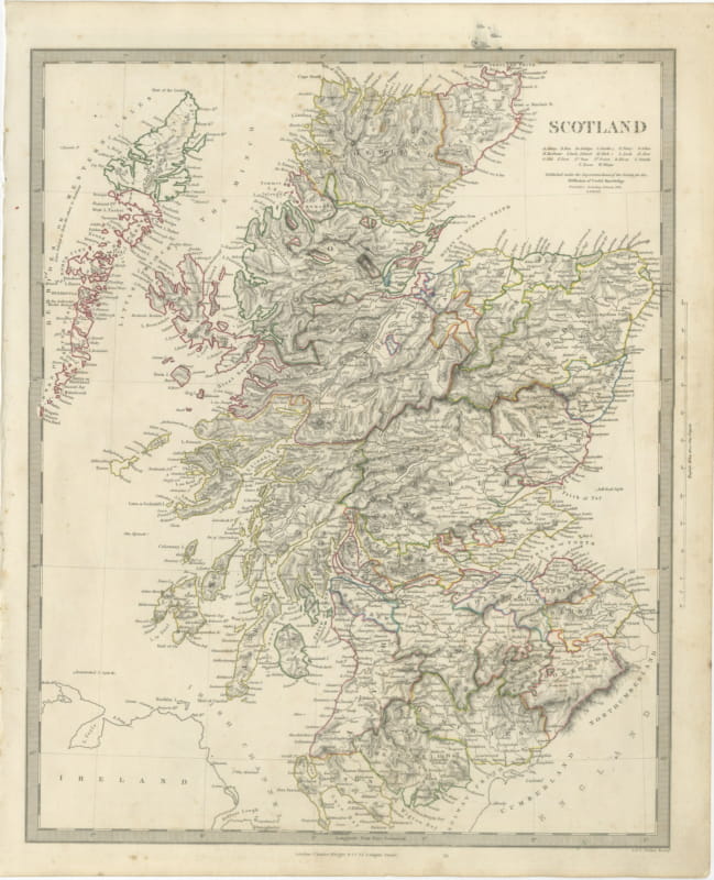
Antique Map of Scotland with the Hebrides and Highland Counties, 1845
1845 · € 395
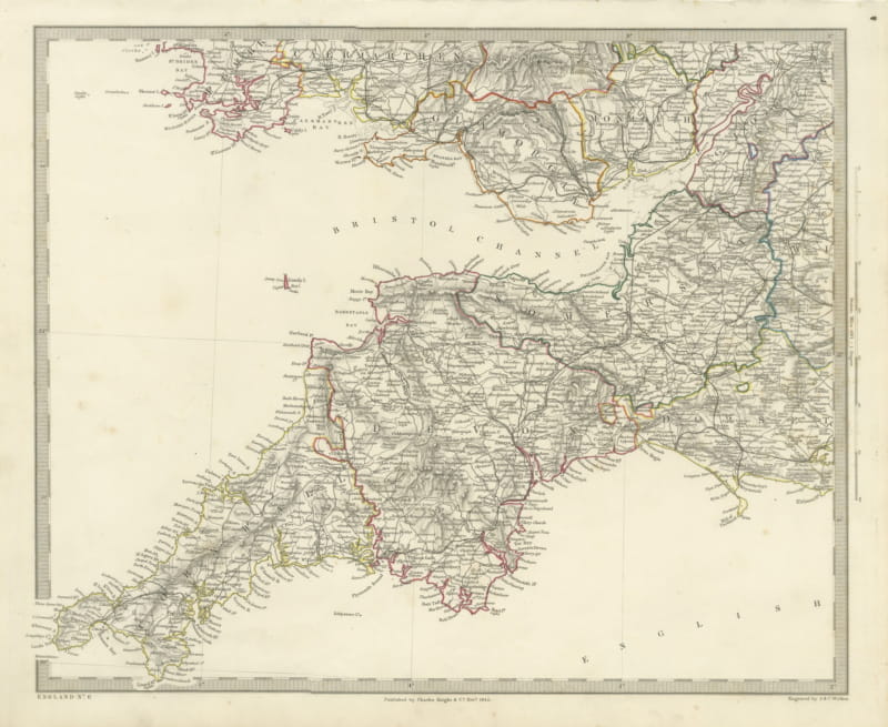
Cornwall Devon and Somerset, Antique Map of the West Country, 1843
1843 · € 365
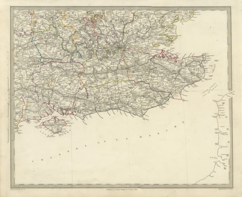
London and the Home Counties, Antique Map of Kent Surrey and Sussex, 1843
1843 · € 395
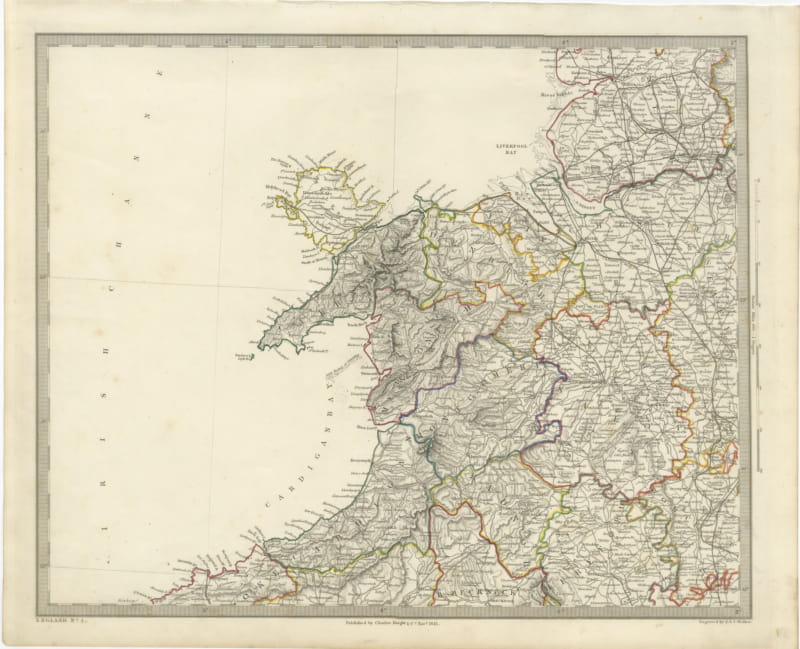
Wales and Cardigan Bay, Antique Map of the Welsh Coast and Hills, 1843
1843 · € 325
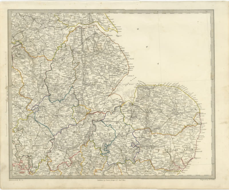
Lincolnshire Norfolk and Suffolk, Antique Map of East Anglia, 1843
1843 · € 295
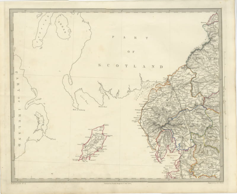
The Lake District and Isle of Man, Antique Map of North West England, 1843
1843 · € 245
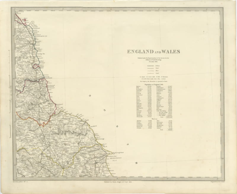
Northumberland Durham and the Yorkshire Coast, Antique Map, 1843
1843 · € 195
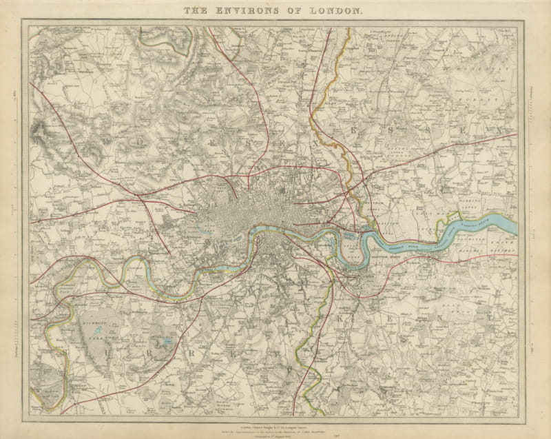
Antique Map of the Environs of London, Corrected to 1845
1845 · € 840
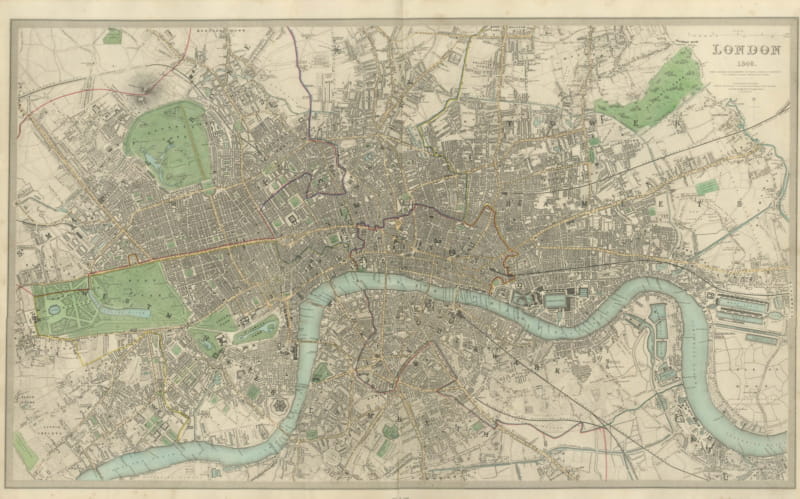
Large Antique Plan of London with the Thames and the Parks, 1846
1846 · € 1 350
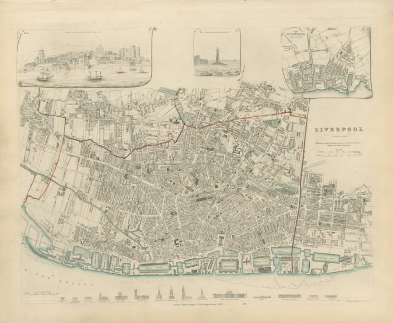
Antique Plan of Liverpool with Albert Dock and a 1650 View, 1847
1847 · € 760
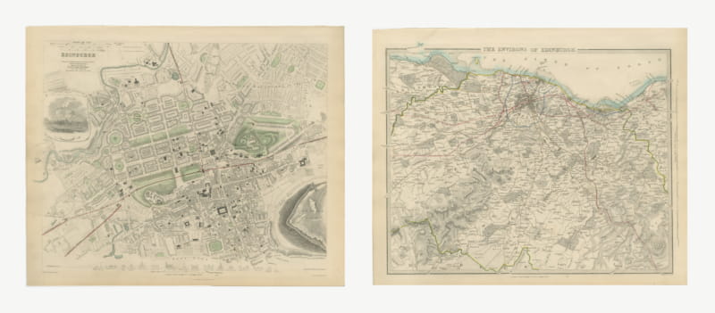
Antique Plan of Edinburgh and its Environs with the Castle, 1847
1847 · € 1 100
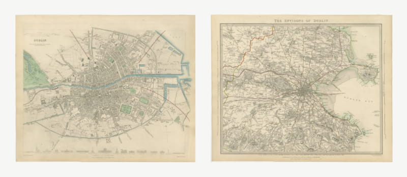
Antique Plan of Dublin and its Environs, Howth to Dalkey, 1847
1847 · € 1 160
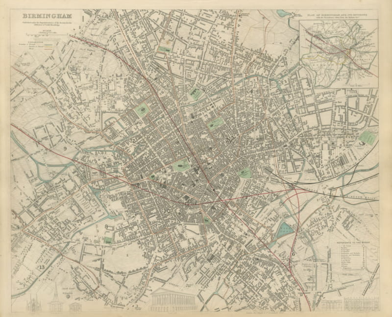
Antique Plan of Birmingham with Reform Act Ward Boundaries, 1847
1847 · € 640
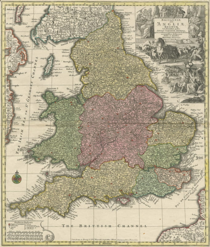
Britannia, Antique Map of England with Hunting Vignettes, circa 1740
circa 1740 · € 570
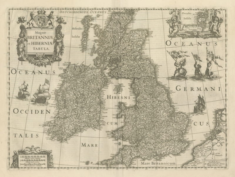
Magnae Britanniae et Hiberniae Tabula, Hondius, 1631
1631 · € 1 300
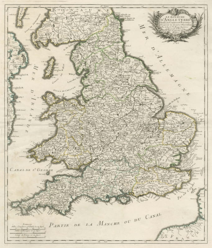
Antique Map of the Kingdom of England and Wales, circa 1760
circa 1760 · € 440
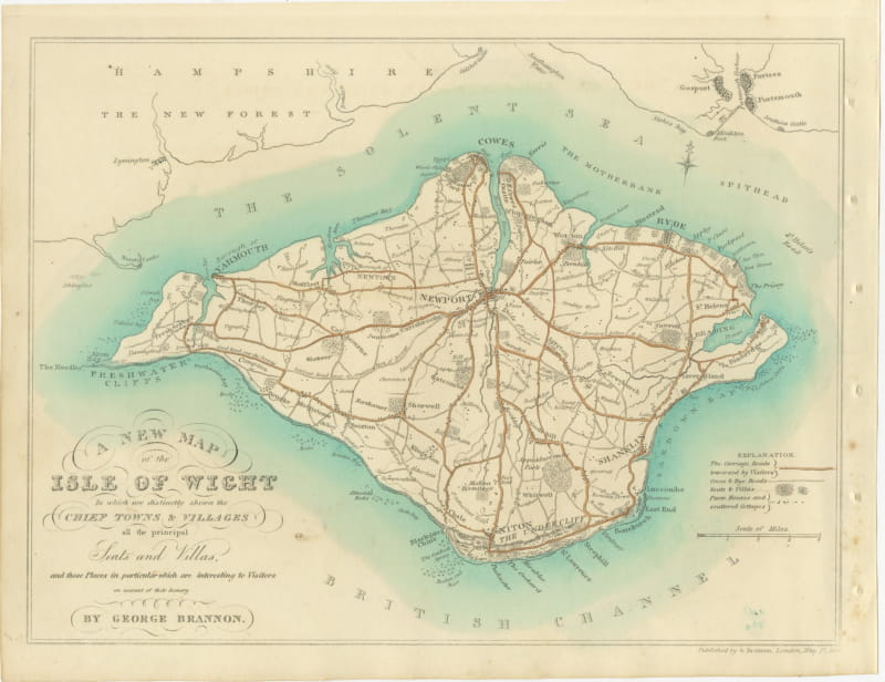
Brannon Hand-Colored Map of the Isle of Wight, Seats and Villas, circa 1829
circa 1829 · € 370
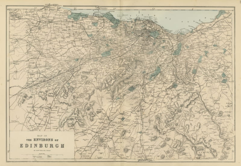
Antique Map of the Environs of Edinburgh and the Firth of Forth, 1885
1885 · € 340
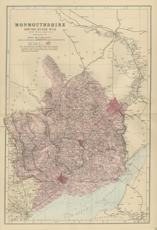
Antique Map of Monmouthshire, the River Wye and Bristol Channel, 1885
1885 · € 290
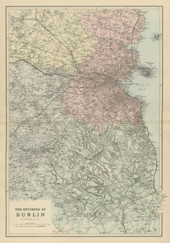
Antique Map of the Environs of Dublin with Dublin Bay and Wicklow, 1885
1885 · € 340
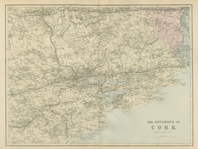
Antique Map of the Environs of Cork with its Harbor and Islands, 1885
1885 · € 290
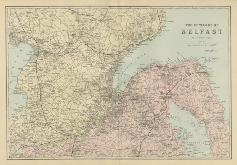
Antique Map of the Environs of Belfast and Belfast Lough, 1885
1885 · € 310
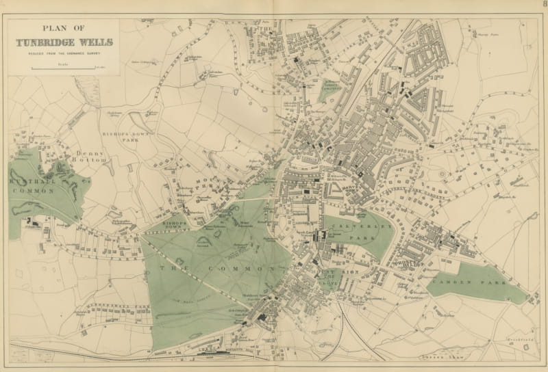
Antique Town Plan of Tunbridge Wells with the Common and its Parks, 1885
1885 · € 305
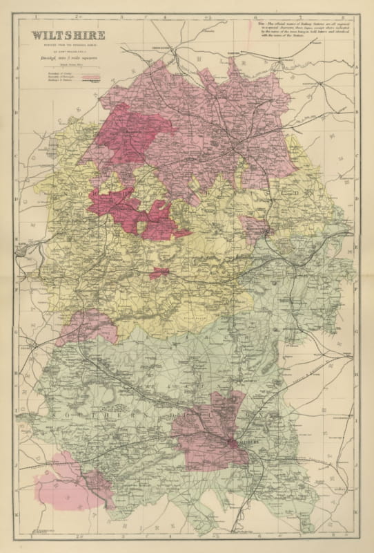
Antique Map of Wiltshire with Salisbury and its Parliamentary Divisions, 1885
1885 · € 295
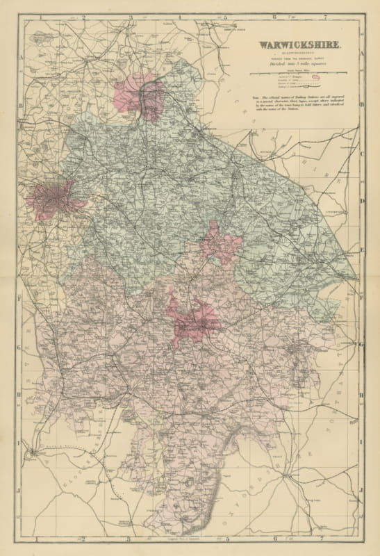
Antique Map of Warwickshire with Birmingham, Coventry and Warwick, 1885
1885 · € 295
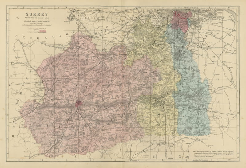
Antique Map of Surrey with Guildford, Reigate and Croydon, 1885
1885 · € 330
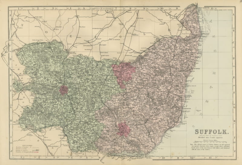
Antique Map of Suffolk with Great Yarmouth and the North Sea Coast, 1885
1885 · € 295
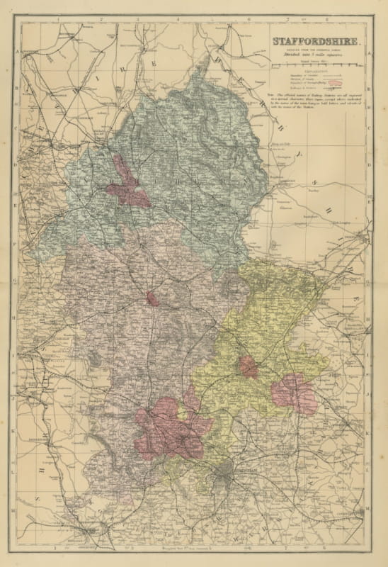
Antique Map of Staffordshire with Stafford, Lichfield and Birmingham, 1885
1885 · € 310
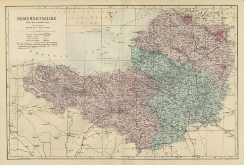
Antique Map of Somersetshire, Bridgwater Bay and the Bristol Channel, 1885
1885 · € 310
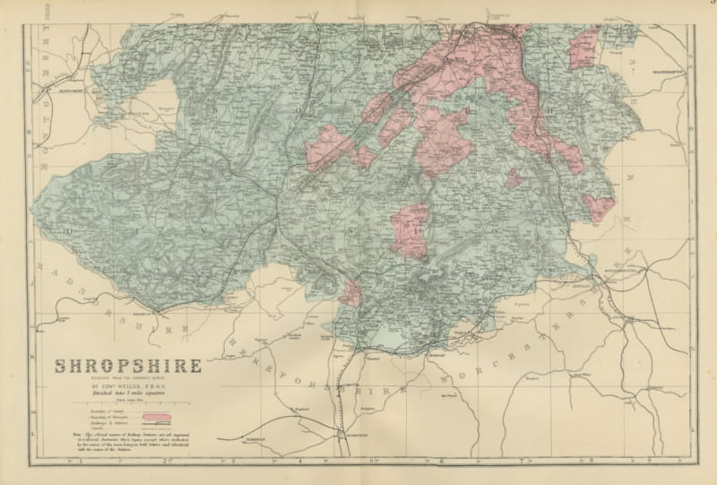
Antique Map of Shropshire on Two Sheets, North and South, 1885
1885 · € 495
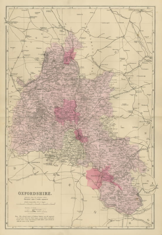
Antique Map of Oxfordshire with Banbury, Abingdon and Wantage, 1885
1885 · € 320
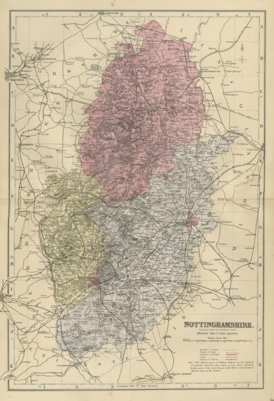
Antique Map of Nottinghamshire with Mansfield, Newark and Worksop, 1885
1885 · € 300
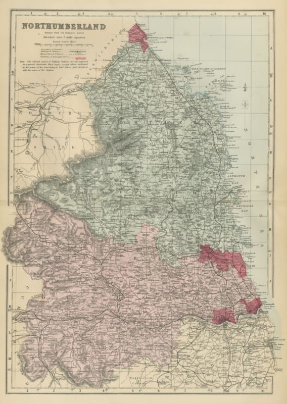
Antique Map of Northumberland with Holy Island and Berwick, 1885
1885 · € 310
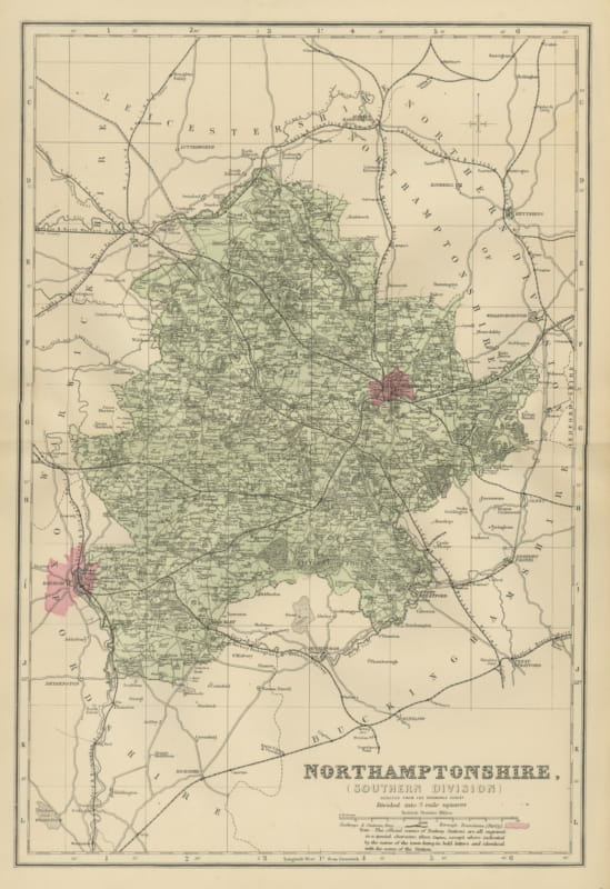
Antique Map of South Northamptonshire and Northampton Town, 1885
1885 · € 290
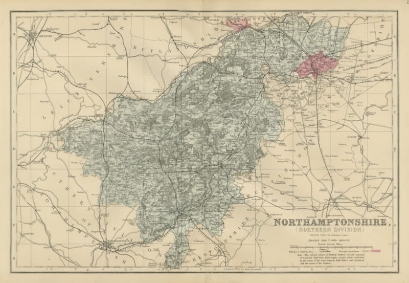
Antique Map of North Northamptonshire with Peterborough, Weller, 1885
1885 · € 290
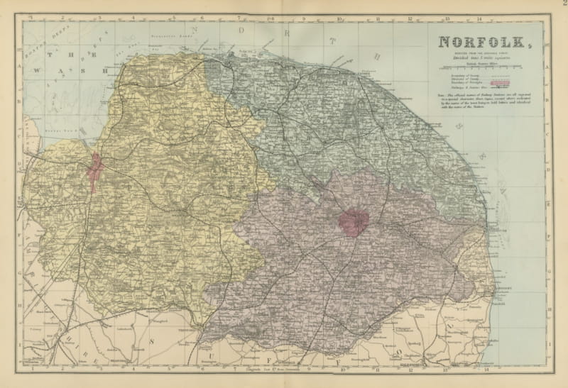
Antique Map of Norfolk with Norwich and the Wash, Edward Weller, 1885
1885 · € 310
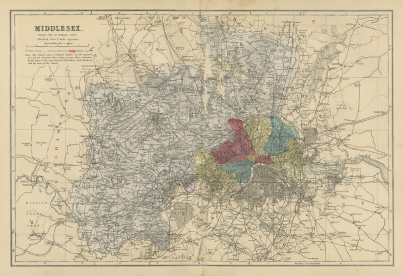
Antique Map of Middlesex and Victorian London with its Railways, 1885
1885 · € 340
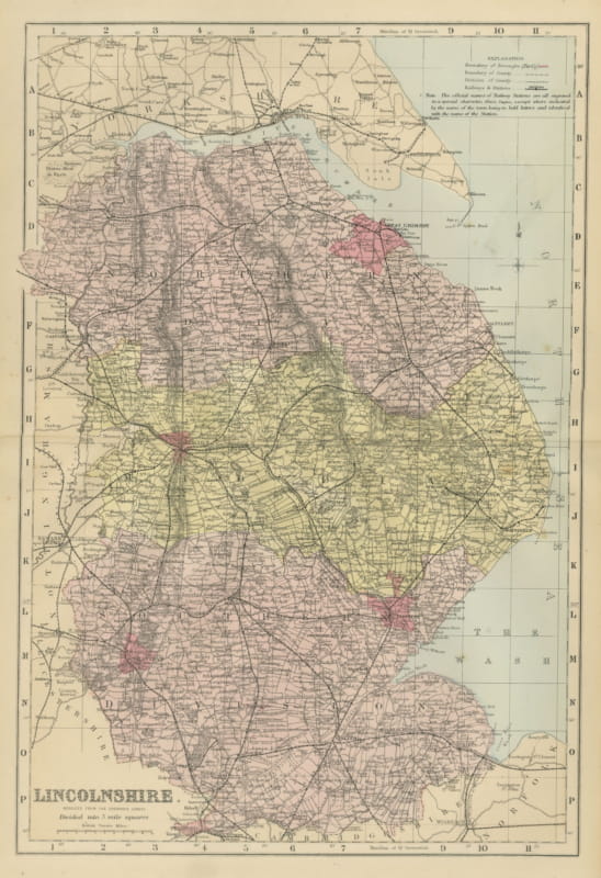
Antique Map of Lincolnshire with Great Grimsby and the Wash, 1885
1885 · € 320
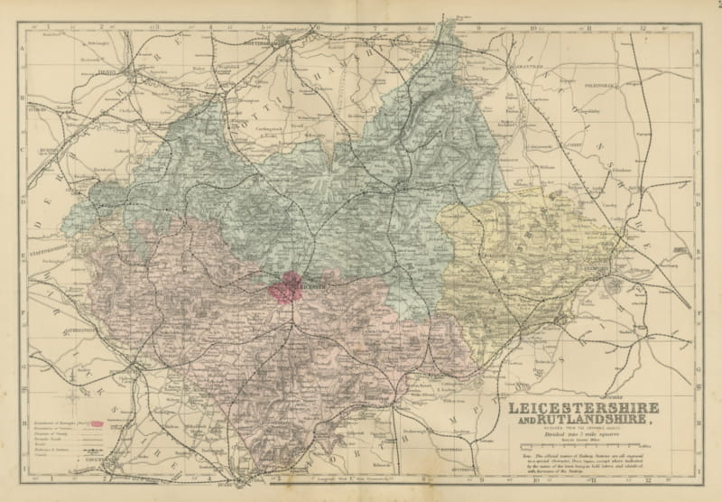
Antique Map of Leicestershire and Rutlandshire with Leicester, 1885
1885 · € 295
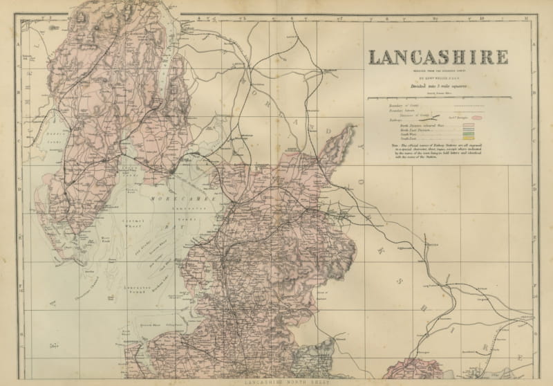
Antique Map of Lancashire on Two Sheets, North and South, 1885
1885 · € 550