
Maps & PrintsBartele Gallery · Langweer
Home / Antique Maps / Europe / Western Europe / United Kingdom & Ireland

United Kingdom & Ireland · 19th century

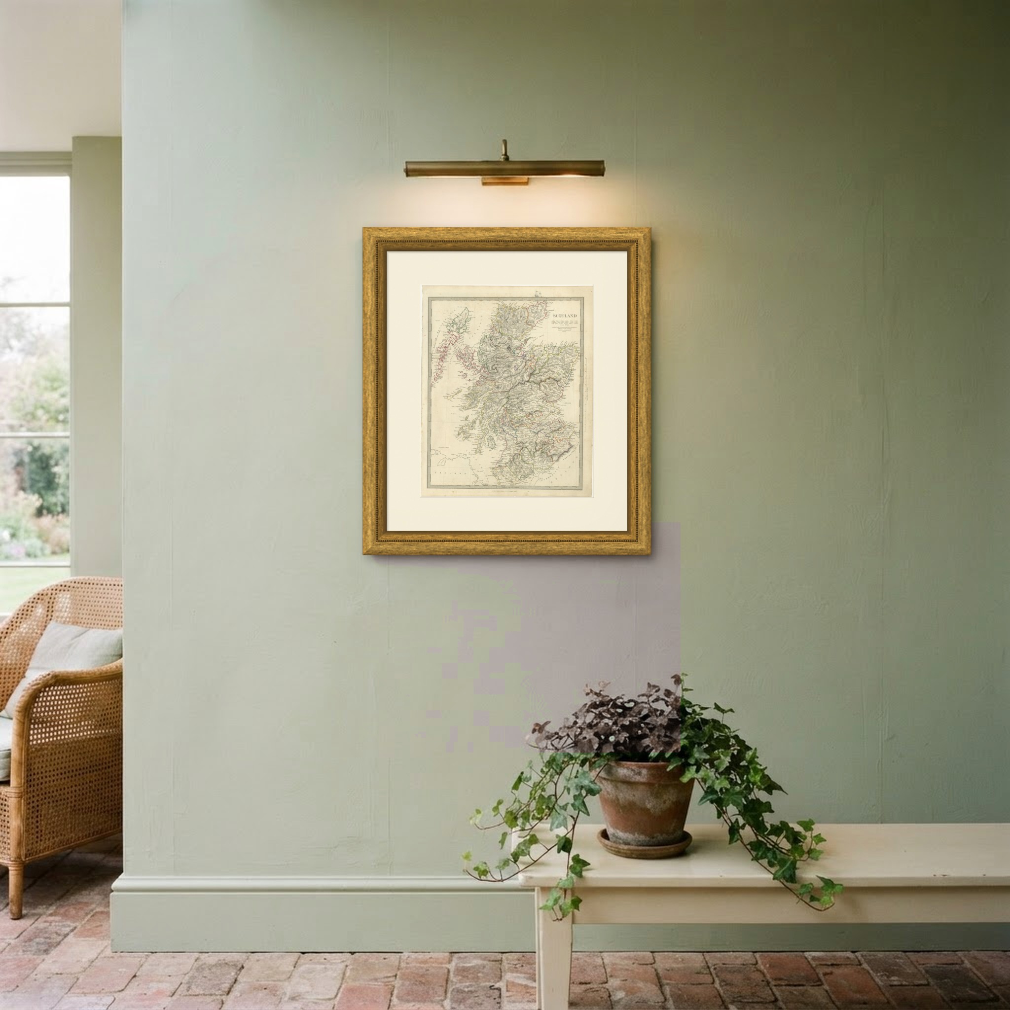
Antique Map of Scotland with the Hebrides and Highland Counties, 1845

US$437

Original antique · The actual sheet photographed · Certificate of authenticity on request · Sold unframed · Worldwide shipping from € 15 (rates)

Date
1845
Mapmaker / artist
Society for the Diffusion of Useful Knowledge, London; engraved by John and Charles Walker
Publisher
Charles Knight and Company, 22 Ludgate Street, London
Technique
Steel Engraving
Coloring
Original hand color
Sheet size
43.5 × 35 cm (17.1 × 13.8 in)
Condition
Good
Reference
BG-14487-2-16
What the condition grades mean
Excellent
Bright and clean, with no faults worth mentioning.
Very good
Only light signs of age, such as faint toning.
Good
Normal signs of age for a sheet of this period: toning, some foxing, small marks or neat old repairs.
Fair
Clear faults such as staining, tears or repairs, priced to match.

Every fault we see is written in the condition note, and the whole sheet is shown uncropped in the photos.

Condition

Moderate overall age toning, with the paper darker along the bottom edge, scattered foxing in the margins, one or two spots larger than the rest, a stain in the margin and handling wear to the top left and top right corners.

About this sheet

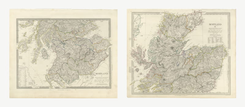
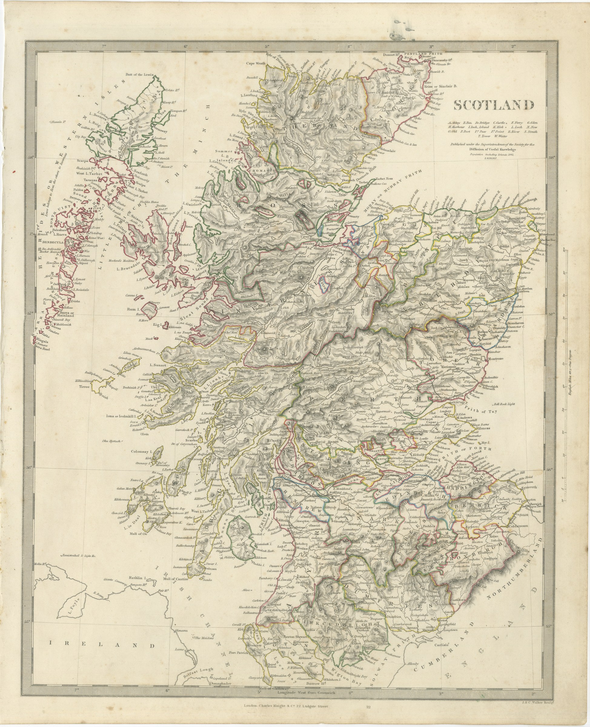
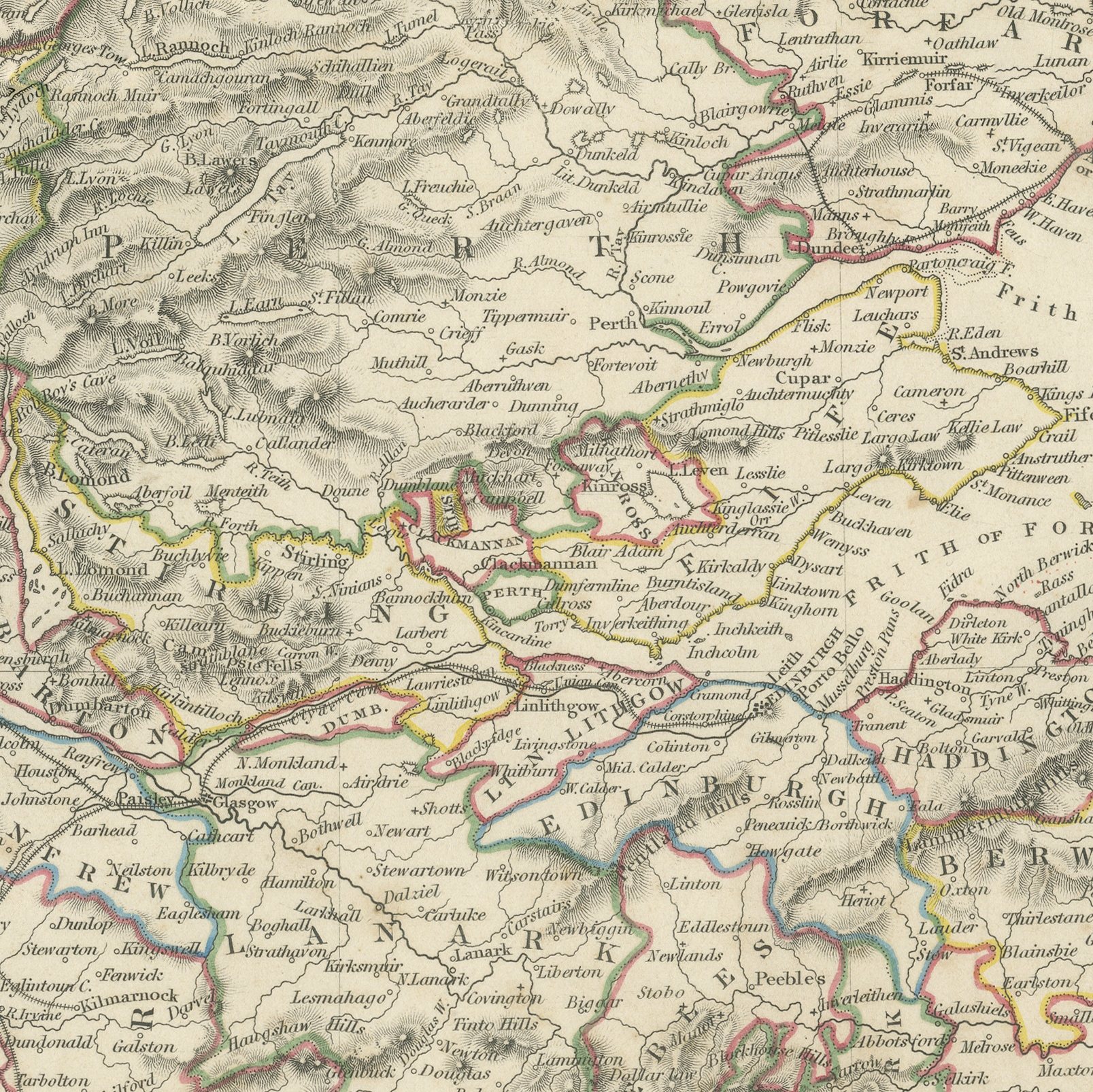
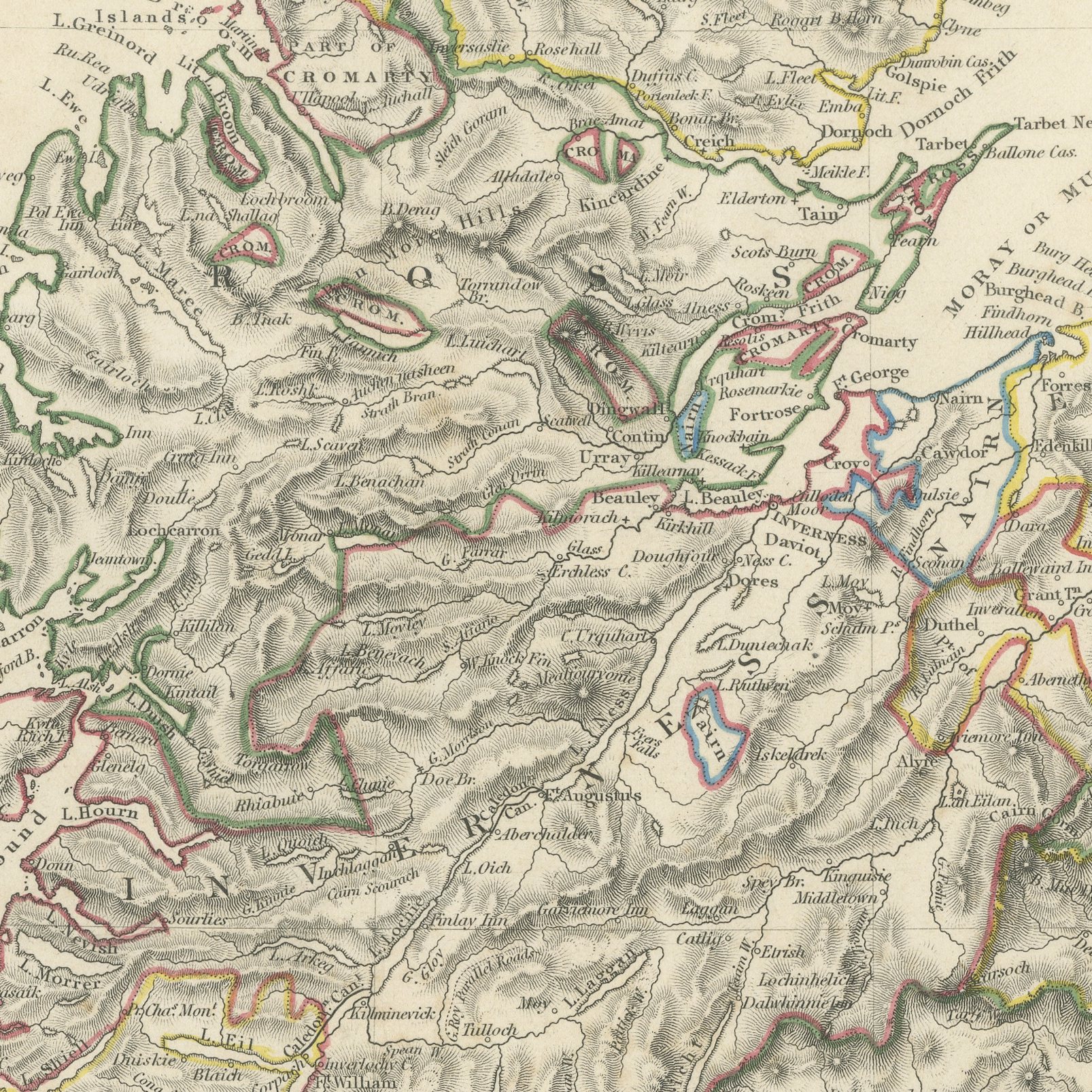
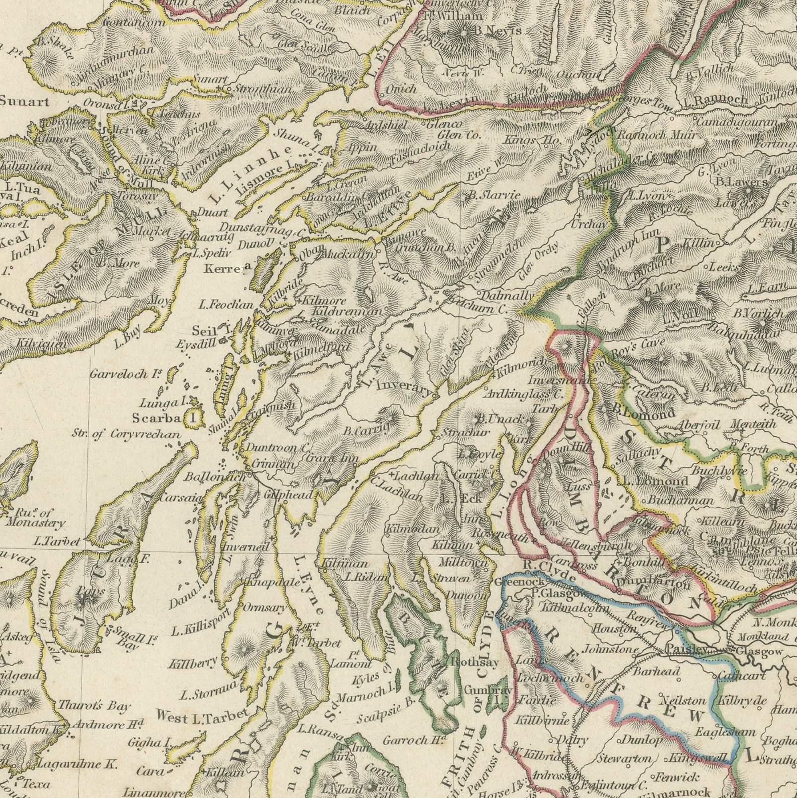
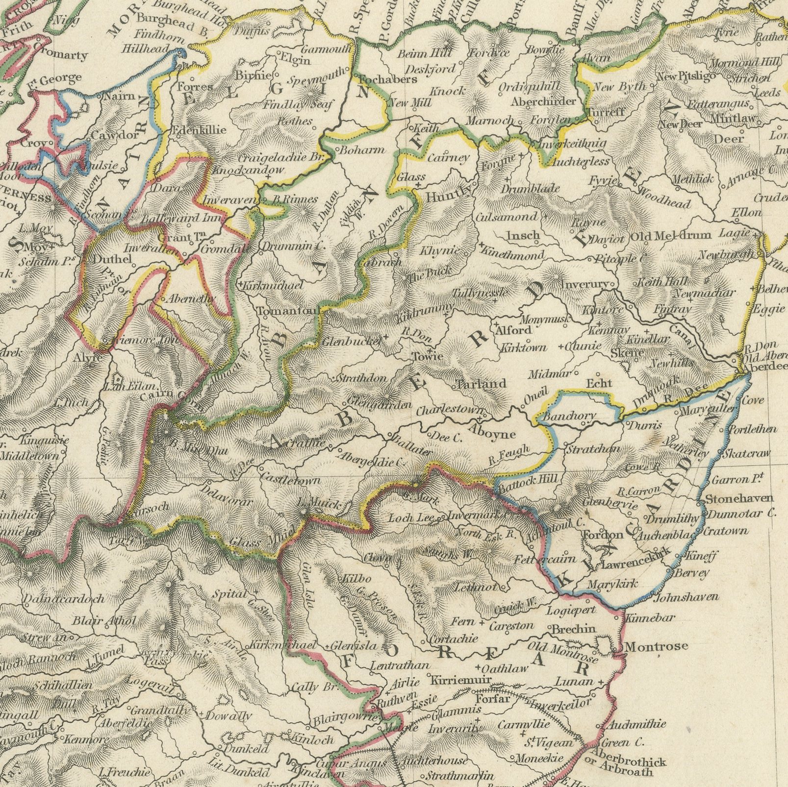
This antique map of Scotland, published in 1845, gives the whole country on a single upright sheet, from Cape Wrath and the Pentland Firth down to the Solway and the Border. The Western Isles run down the left margin with Lewis, Harris, North and South Uist, Benbecula, Barra, Skye, Rum, Eigg, Mull, Iona, Islay and Tiree all named, and the Minch is lettered between them and the mainland. The Highland counties of Sutherland, Ross, Inverness, Argyll and Perth are drawn in close hachure that gives the whole north the appearance of crumpled ground, with the great glens and lochs cut through it. The Firths of Forth, Tay, Moray and Clyde are engraved in detail, and Edinburgh, Glasgow, Aberdeen, Dundee, Perth, Inverness, Stirling and Ayr are marked. Hand applied color in yellow, green, red and blue separates the counties, and a note beneath the title gives the population of Scotland including the islands at the census of 1831.

The plate comes from Maps of the Society for the Diffusion of Useful Knowledge, in the new edition corrected to the present time that Charles Knight and Company published at 22 Ludgate Street, London, in 1845, whose first volume covers Europe. The Society was founded in 1826 by Henry Brougham and his circle to publish useful knowledge at a low price. Its maps were issued in parts from 1829, first by Baldwin and Cradock, from 1842 by Chapman and Hall and then by Charles Knight, and the series grew to about two hundred maps. Most of them were engraved on steel by John and Charles Walker, and the outline color was applied by hand.

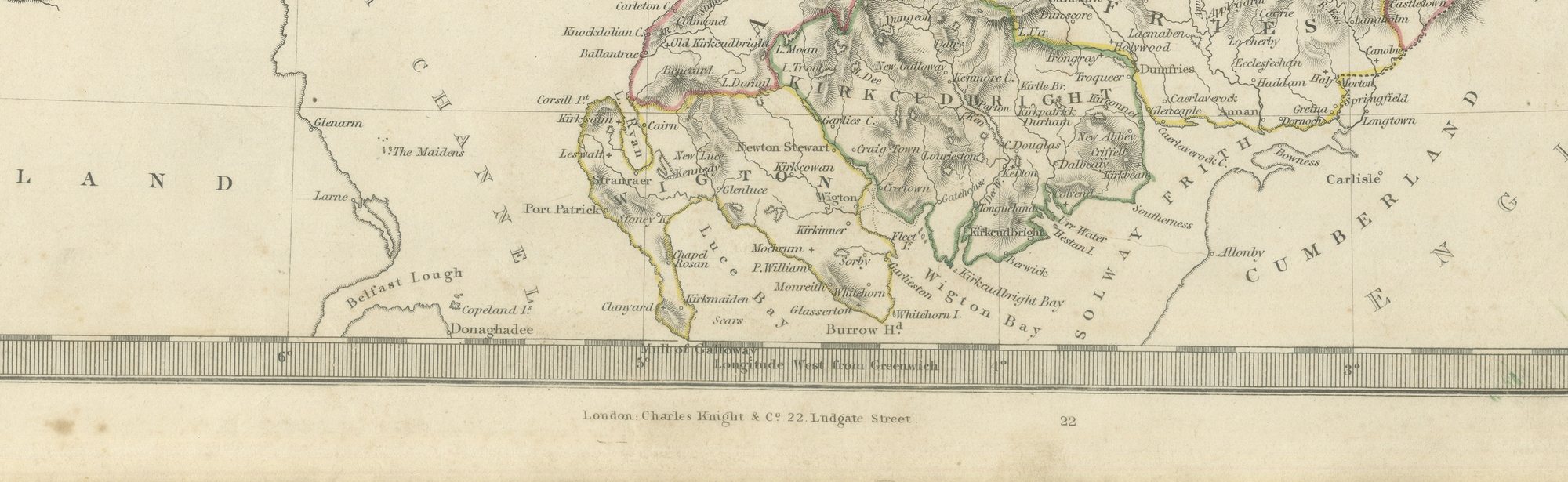
The plate is signed by J. and C. Walker as engravers. The imprint at the foot names Charles Knight and Company of 22 Ludgate Street, London.

Moderate overall age toning, with the paper darker along the bottom edge, scattered foxing in the margins, one or two spots larger than the rest, a stain in the margin and handling wear to the top left and top right corners.
This is an original antique map, not a modern reproduction. This item is sold unframed. Any framed or interior images are shown for presentation and inspiration only, unless the listing explicitly states that the item is sold framed.

More from United Kingdom & Ireland

Ask about this sheet

Antique Map of Scotland with the Hebrides and Highland Counties, 1845
1845 · Ref. BG-14487-2-16 · US$437
We reply by email, usually within one working day.

Your favorites

Saved in this browser. Email the list to yourself to keep it on any device.

We use your email to send this list and, only if you tick the box and confirm, for occasional new arrivals. Every email has an unsubscribe link. Bartele Gallery, the Netherlands.

Powered by SiteKeys