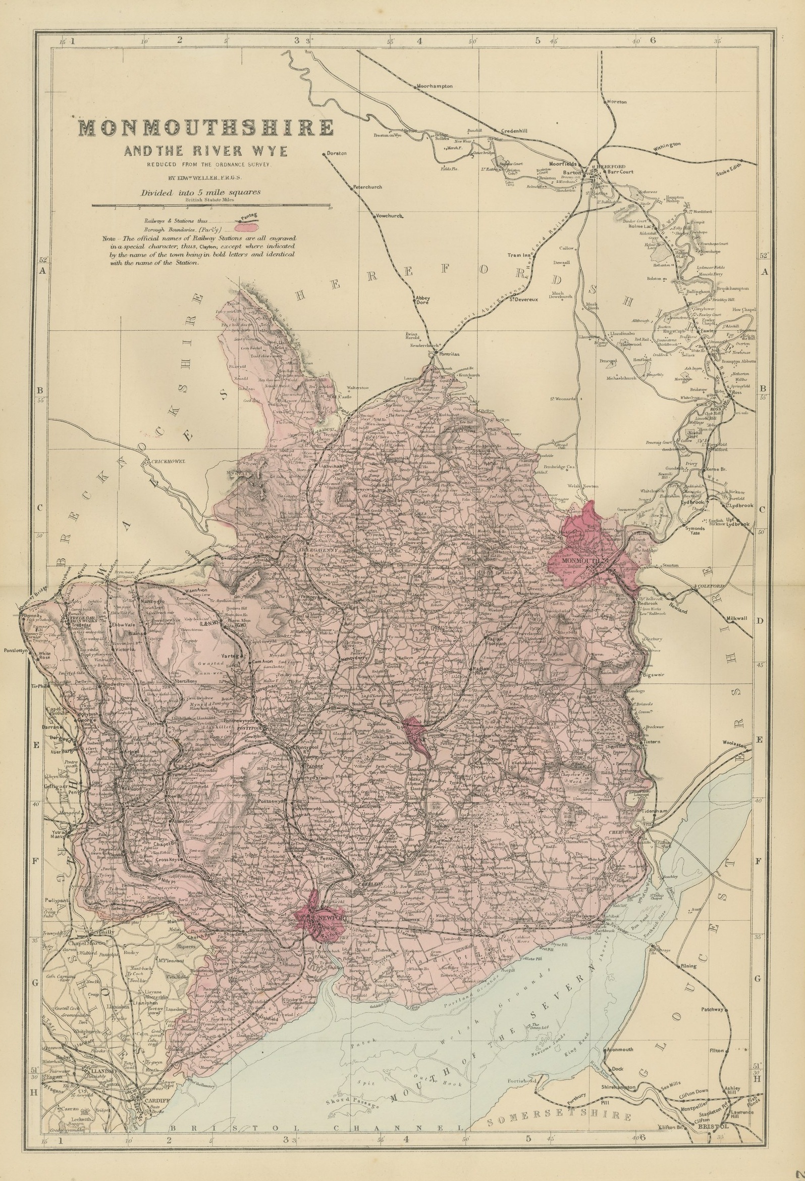
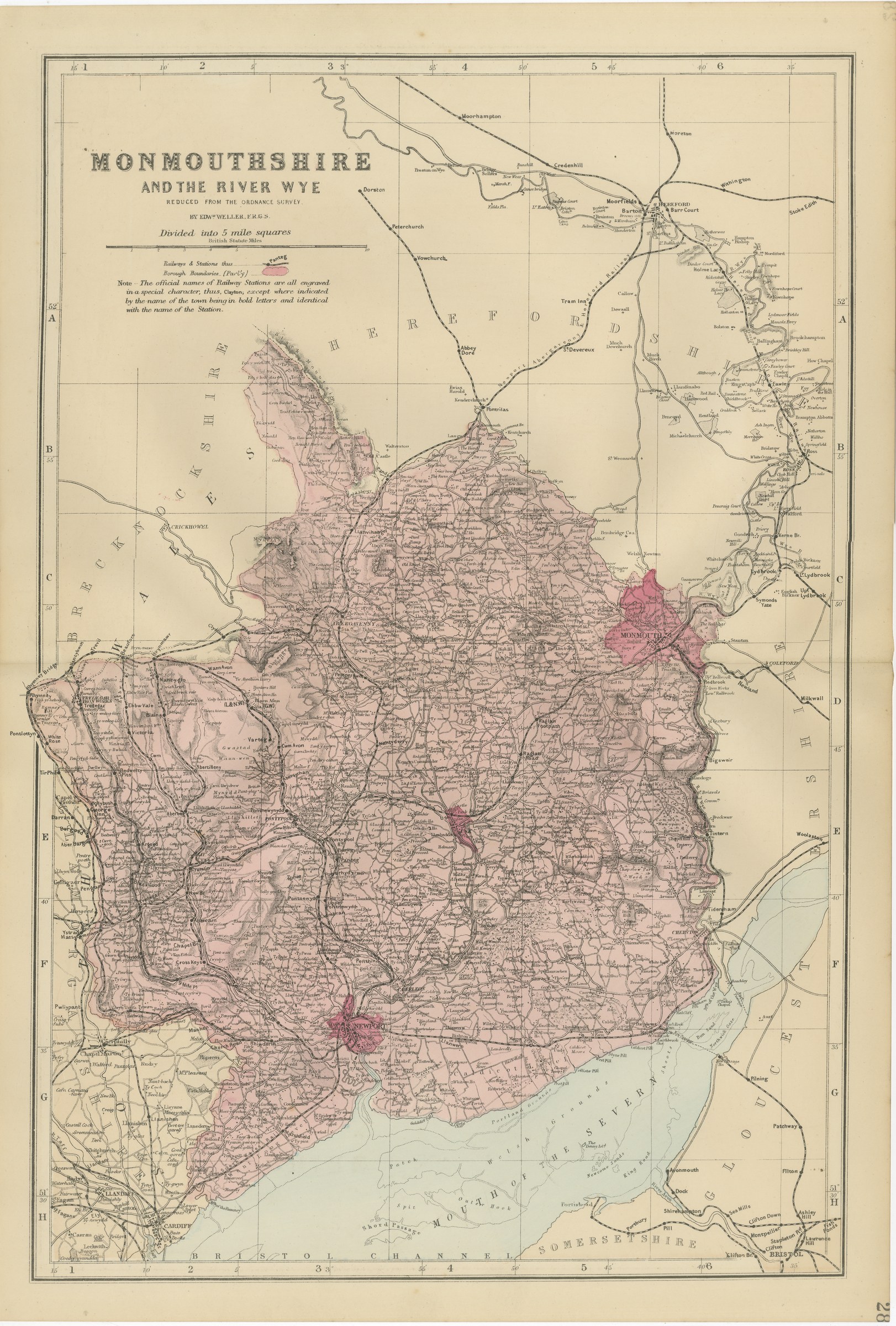
Antique Map of Monmouthshire, the River Wye and Bristol Channel, 1885
€ 290
Original antique · The actual sheet photographed · Certificate of authenticity on request · Sold unframed · Worldwide shipping from € 15 (rates)
Date
1885
Mapmaker / artist
Edward Weller, F.R.G.S.
Publisher
G. W. Bacon and Co., London
Technique
Lithograph
Coloring
Original hand color
Condition
Good
Reference
BG-14216-28
What the condition grades mean
Excellent
Bright and clean, with no faults worth mentioning.
Very good
Only light signs of age, such as faint toning.
Good
Normal signs of age for a sheet of this period: toning, some foxing, small marks or neat old repairs.
Fair
Clear faults such as staining, tears or repairs, priced to match.
Every fault we see is written in the condition note, and the whole sheet is shown uncropped in the photos.
Condition
Vertical fold down the center from binding. Light uneven toning, browner towards the edges. Handling soiling along all four edges. Scattered light foxing in the margin. Slight wear at the bottom right corner. Several larger brown marks.
About this sheet
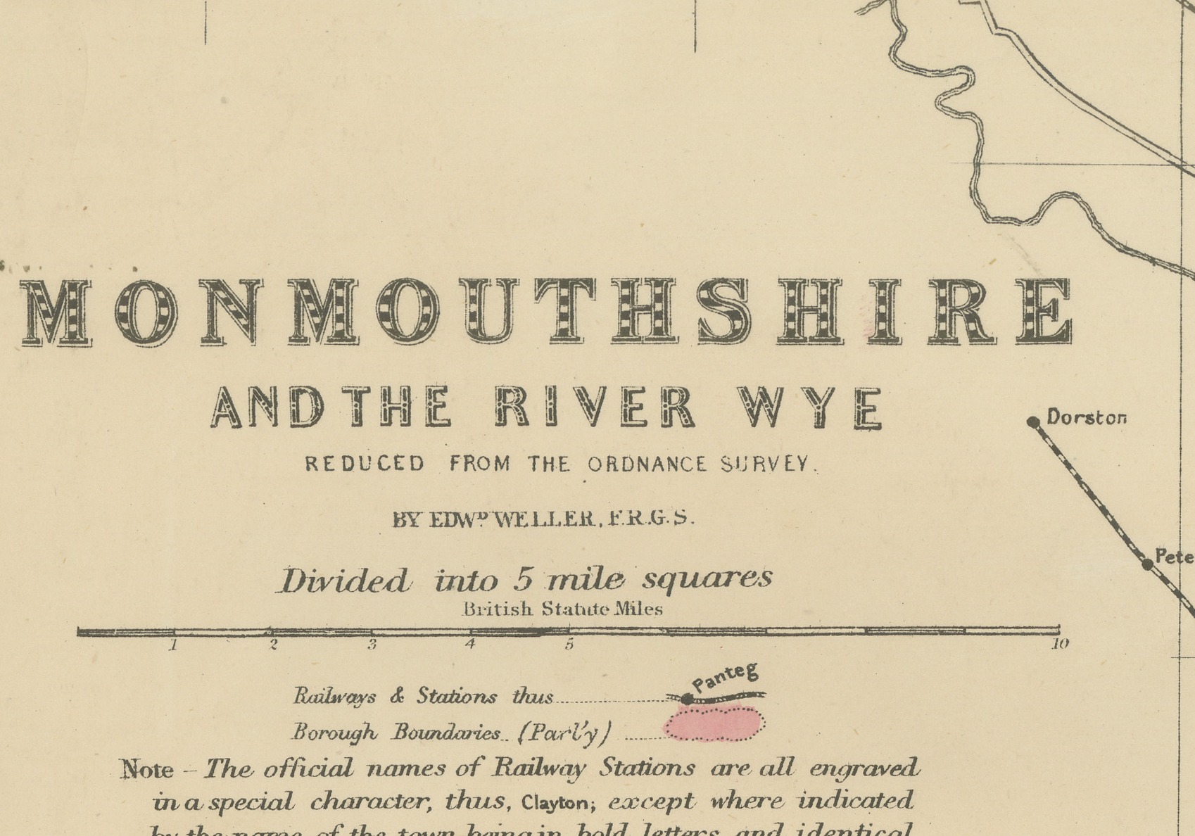
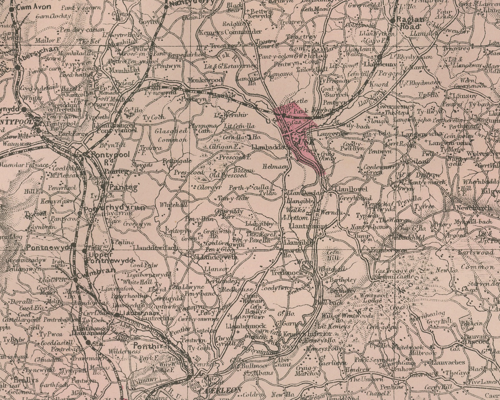
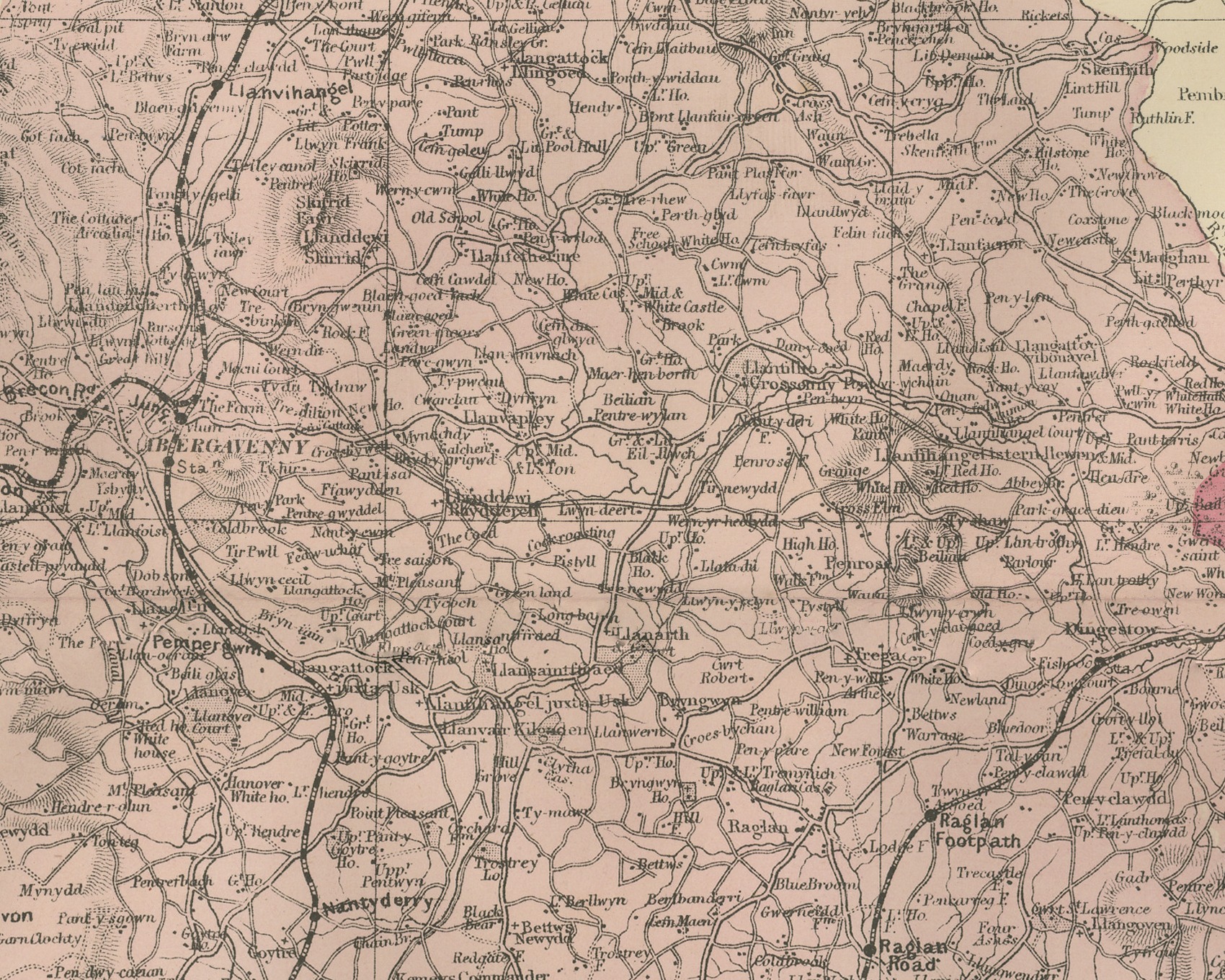
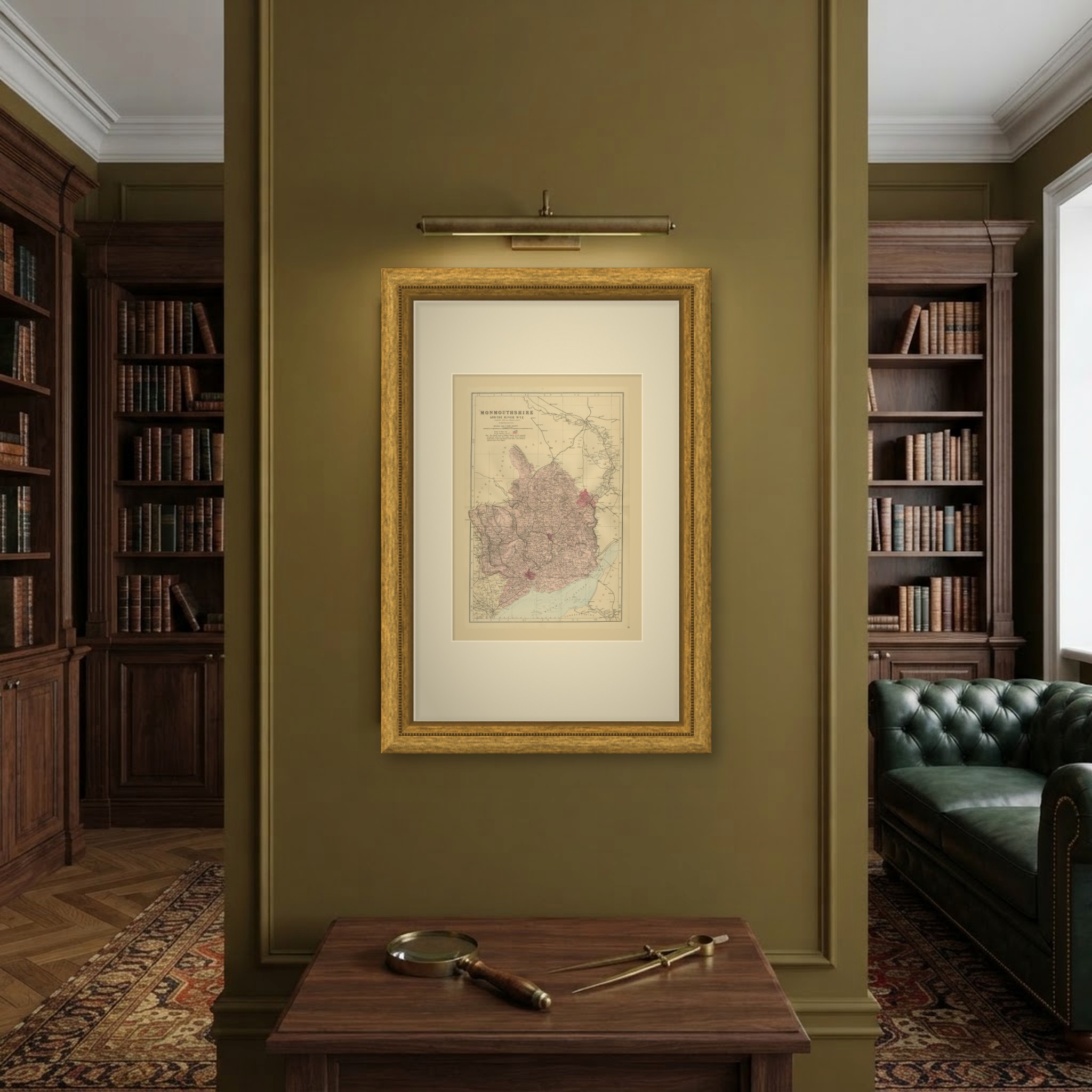
An original antique map of Monmouthshire and the River Wye, printed by lithography with original hand coloring, from the 1885 edition of The New Large Scale Ordnance Atlas of the British Isles. The title at the upper left reads "MONMOUTHSHIRE" and "AND THE RIVER WYE", followed by "REDUCED FROM THE ORDNANCE SURVEY." and the credit "BY EDWD WELLER, F.R.G.S."
The county is washed in rose and runs from Abergavenny and the valleys of Tredegar, Ebbw Vale and Pontypool down to Newport, Caerleon and the Caldicot Level on the Mouth of the Severn. Monmouth, Usk and Chepstow lie in the east, and Tintern on the Wye. Above the county the sheet follows the River Wye up through Herefordshire past Ross to Hereford at the top. Brecknockshire and Glamorganshire with Cardiff and Llandaff are on the left, Gloucestershire on the right, and Somersetshire with Bristol and Avonmouth across the water at the bottom, above the Bristol Channel.
The parliamentary boroughs, including Monmouth and Newport, are picked out in crimson. The key below the title gives railways and stations and borough boundaries, followed by the atlas note on station names: "The official names of Railway Stations are all engraved in a special character, thus, Clayton; except where indicated by the name of the town being in bold letters and identical with the name of the Station." The sheet is divided into five mile squares with letters and figures in the border, and a scale of British Statute Miles sits in the title panel. The sheet number 28 is printed in the margin.
The sheet comes from The New Large Scale Ordnance Atlas of the British Isles, the atlas of county and town maps reduced from the Ordnance Survey by Edward Weller, F.R.G.S., and published in London by G. W. Bacon and Co. The date 1885 comes from the volume the sheets were taken from; the year is not printed on the sheet, and Bacon's name does not appear on it. Edward Weller (1819 to 1884) was a London map engraver and draftsman and a Fellow of the Royal Geographical Society.
Vertical fold down the center from binding. Light uneven toning, browner towards the edges. Handling soiling along all four edges. Scattered light foxing in the margin. Slight wear at the bottom right corner. Several larger brown marks.
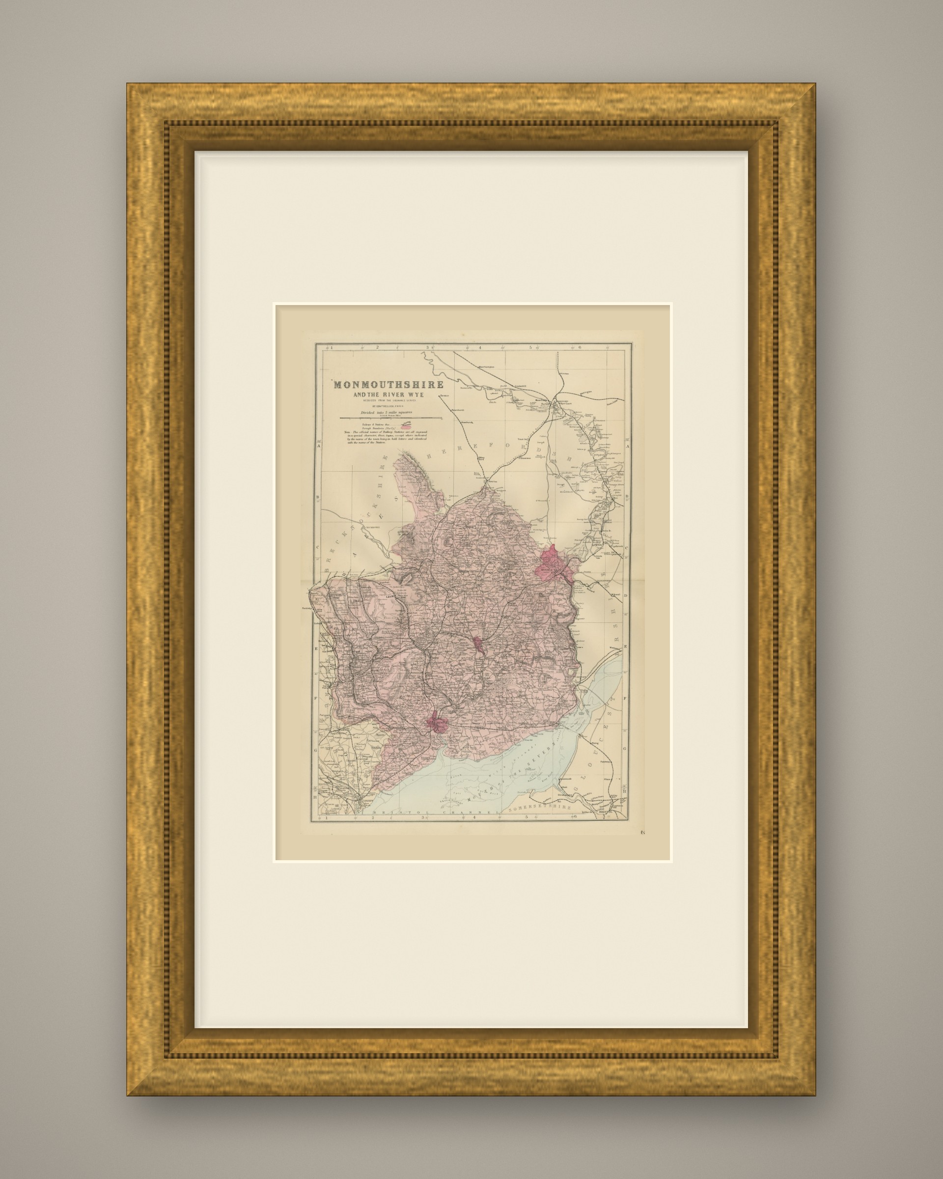
This is an original antique map, not a modern reproduction. This item is sold unframed. Any framed or interior images are shown for presentation and inspiration only, unless the listing explicitly states that the item is sold framed.