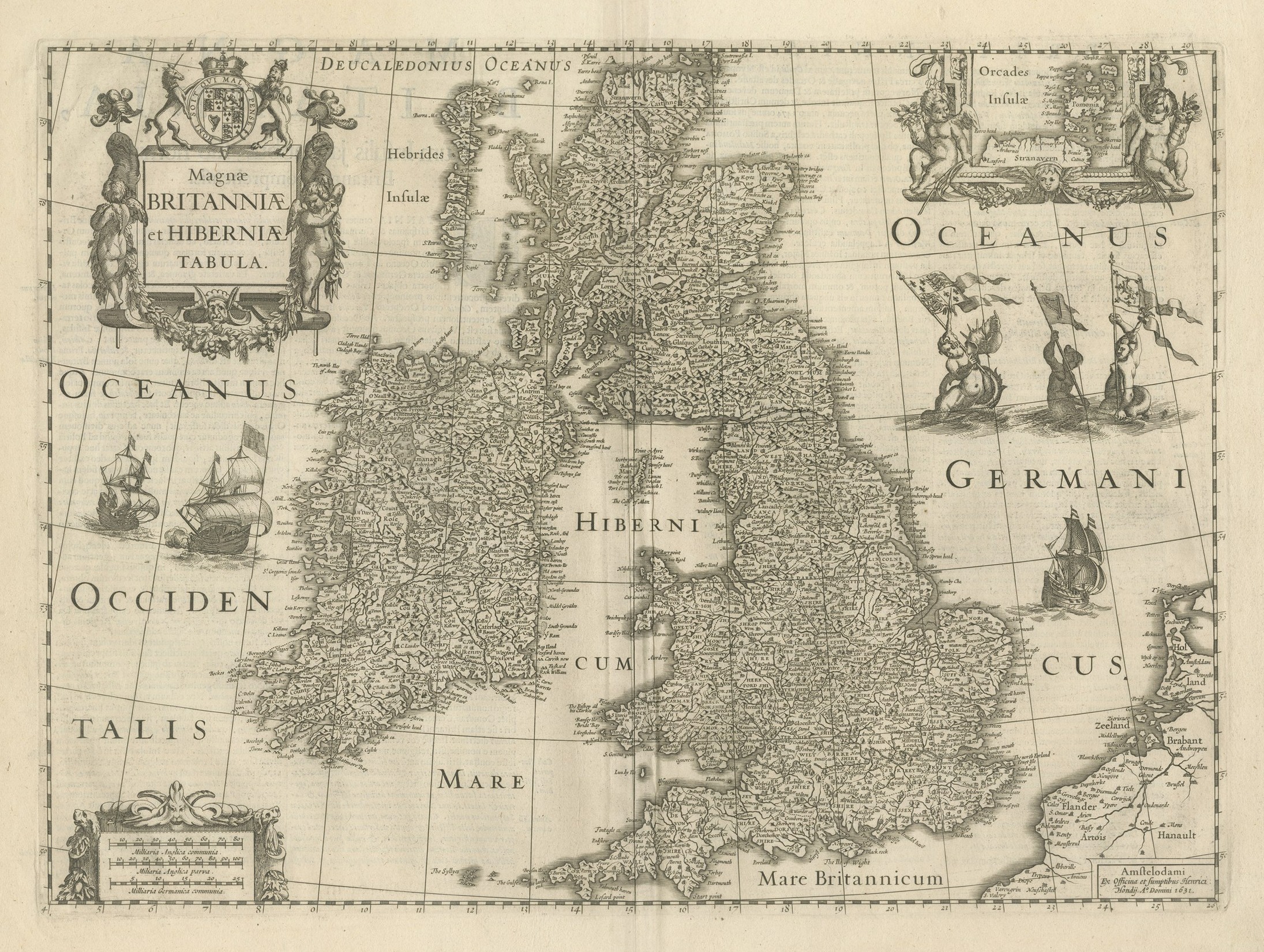
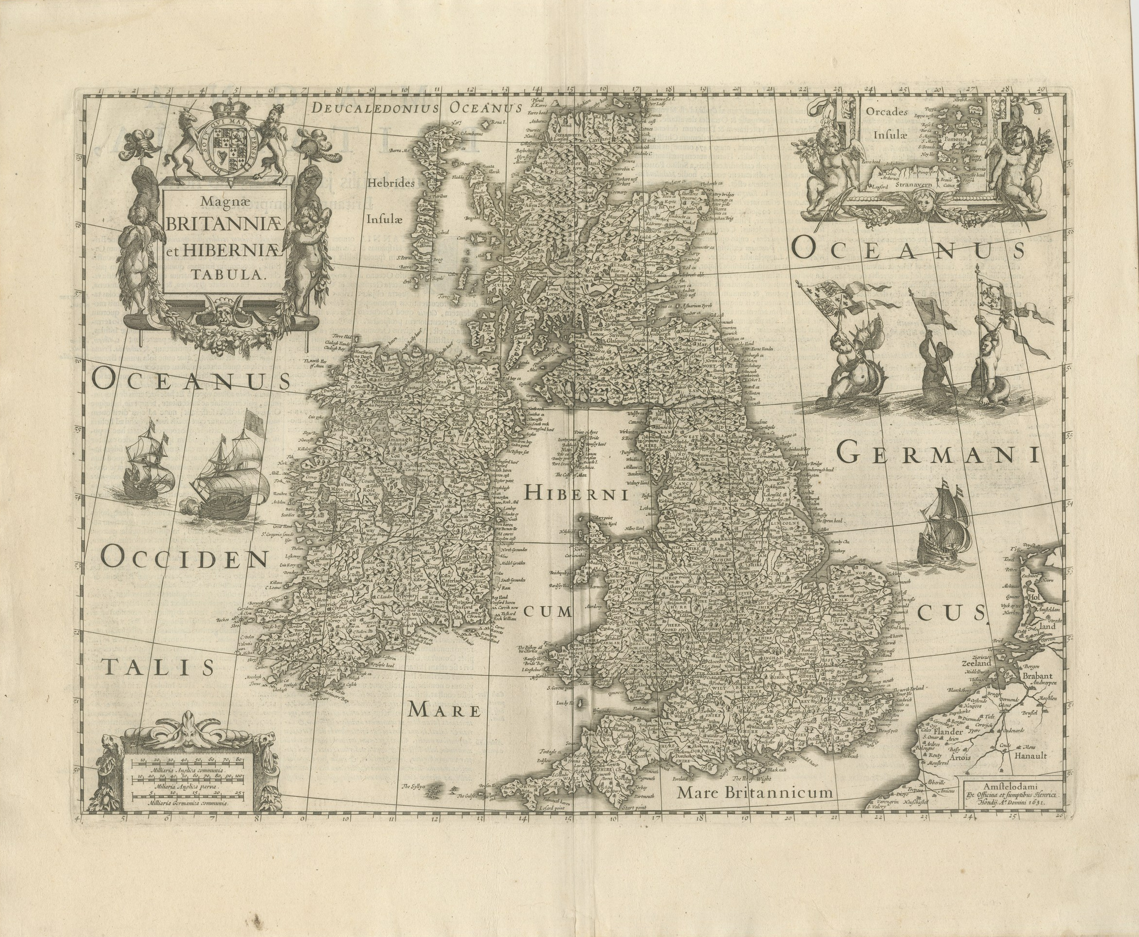
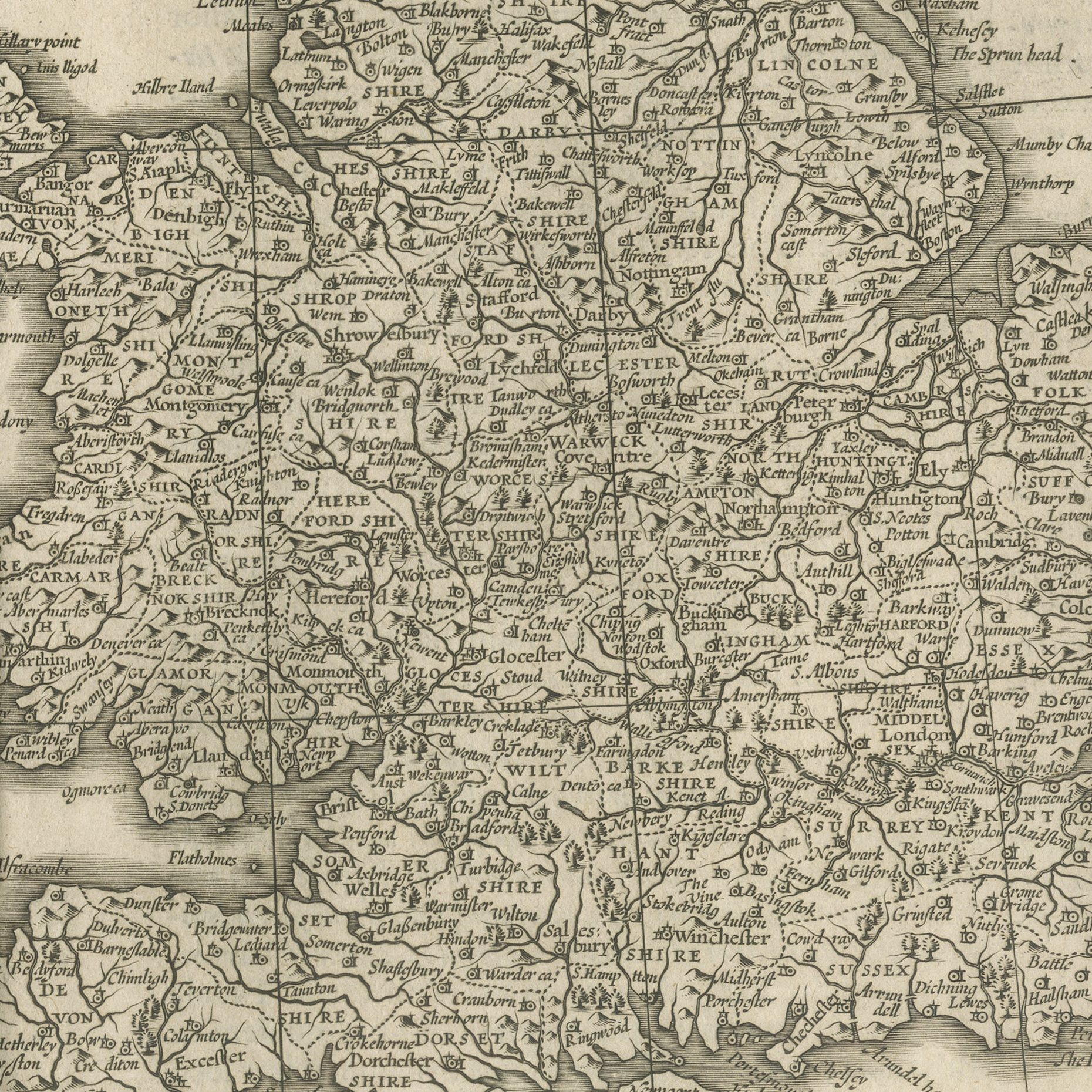
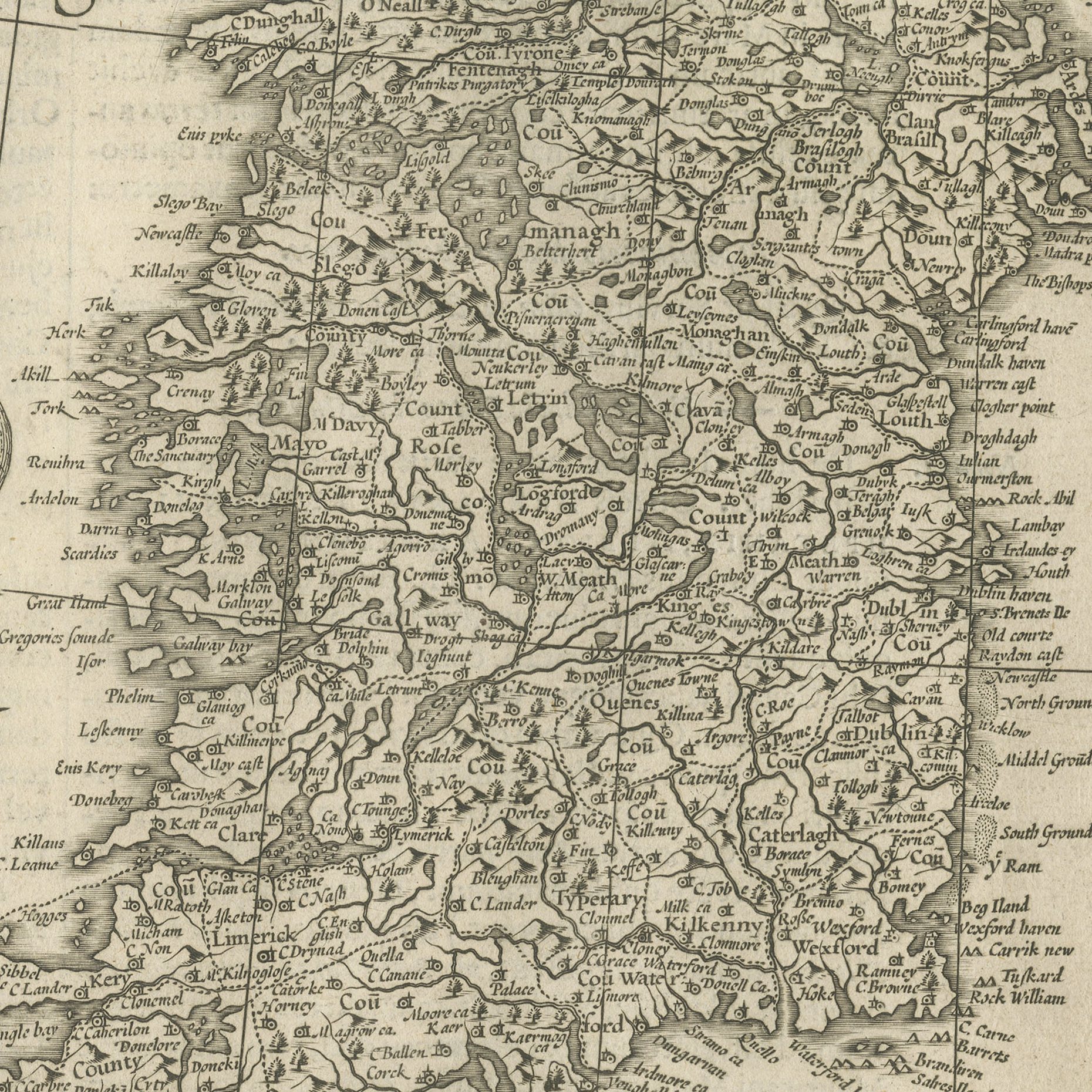
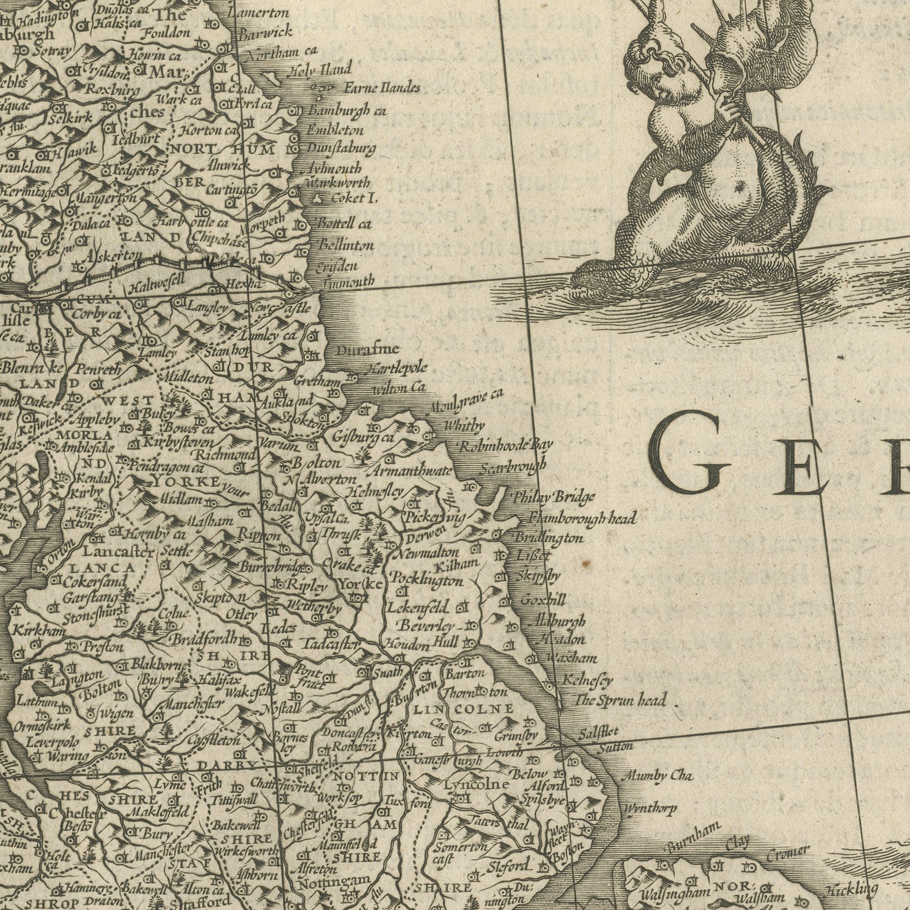
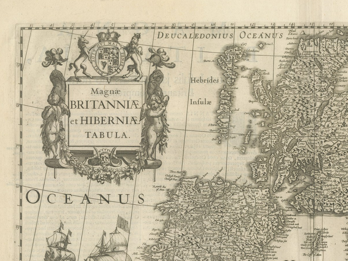
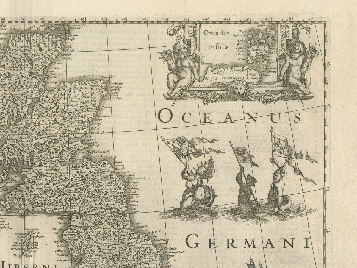
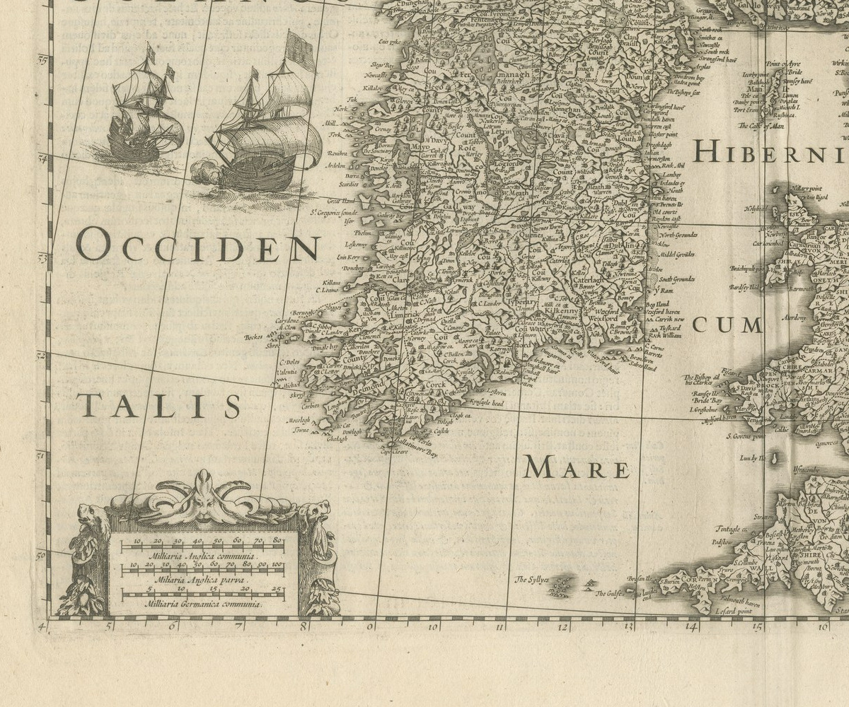
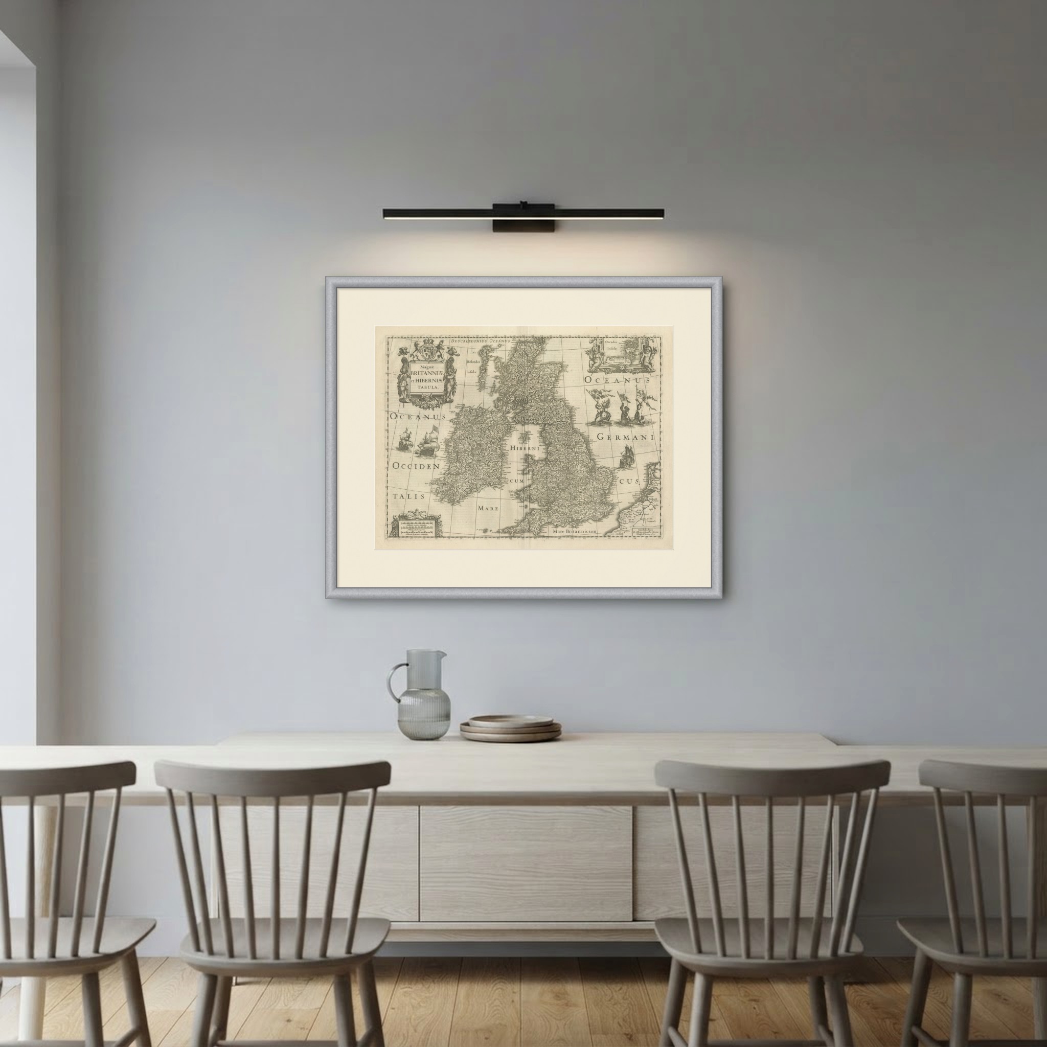
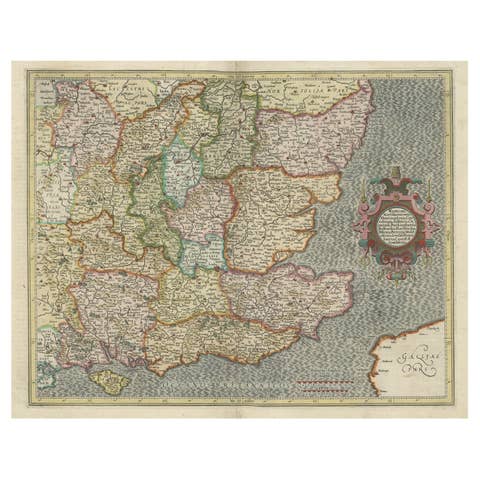
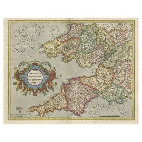
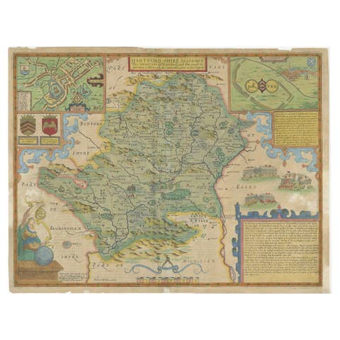
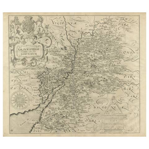
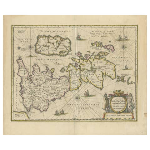
Magnae Britanniae et Hiberniae Tabula, Hondius, 1631
€ 1 300
Original antique · The actual sheet photographed · Certificate of authenticity on request · Sold unframed · Worldwide shipping from € 15 (rates)
Date
1631
Mapmaker / artist
Henricus Hondius, cartographer and publisher
Publisher
Henricus Hondius, Amsterdam
Technique
Copper Engraving
Coloring
Uncolored
Sheet size
49 × 59 cm (19.3 × 23.2 in)
Condition
Good
Reference
BG-14357-1
What the condition grades mean
Excellent
Bright and clean, with no faults worth mentioning.
Very good
Only light signs of age, such as faint toning.
Good
Normal signs of age for a sheet of this period: toning, some foxing, small marks or neat old repairs.
Fair
Clear faults such as staining, tears or repairs, priced to match.
Every fault we see is written in the condition note, and the whole sheet is shown uncropped in the photos.
Condition
The left edge is uneven in one place. Light uneven toning, browner towards the edges. Handling soiling along the left and right edges. Scattered foxing in the margin. Slight wear at the top left and top right corners.
About this sheet
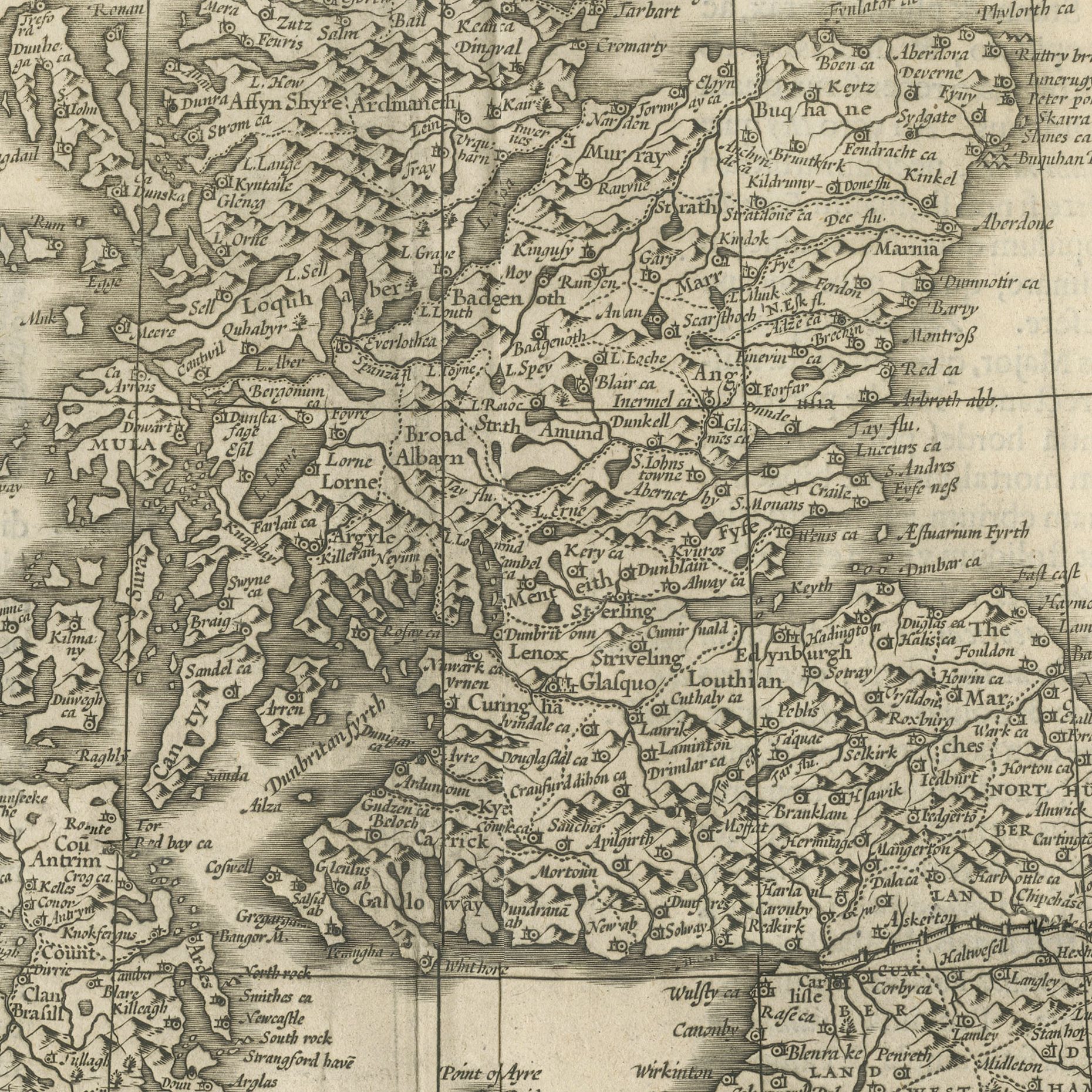
An original antique map of the British Isles engraved on copper and published in Amsterdam by Henricus Hondius, dated in the imprint at the lower right: Amstelodami Ex Officina et sumptibus Henrici Hondij Anno Domini 1631. The title stands at the upper left in a strapwork cartouche beneath the royal arms, lettered Magnae BRITANNIAE et HIBERNIAE TABULA. The surrounding seas are named Oceanus Deucaledonius, Oceanus Germanicus, Mare Occidentale and Mare Britannicum, and the open water carries sailing ships, sea monsters and small figures of Neptune and tritons riding the waves.
Henricus Hondius was the son of Jodocus Hondius, the engraver who bought the plates of Gerard Mercator and turned them into the atlas that dominated the European market for a generation. This map comes from the Mercator Hondius atlas at the height of its production, when Amsterdam had taken the map trade away from Antwerp and had not yet lost it to the Blaeu family. The engraving of the sea creatures and the ships is the part collectors look at first.
A dated Hondius map of the British Isles is a staple of the trade and never difficult to place. This one is uncolored, which a good many collectors now prefer, and the engraving reads cleanly as black on cream. It is a substantial sheet. It hangs anywhere, and it is a natural present for someone with a connection to Britain or Ireland.
The left edge is uneven in one place. Light uneven toning, browner towards the edges. Handling soiling along the left and right edges. Scattered foxing in the margin. Slight wear at the top left and top right corners.
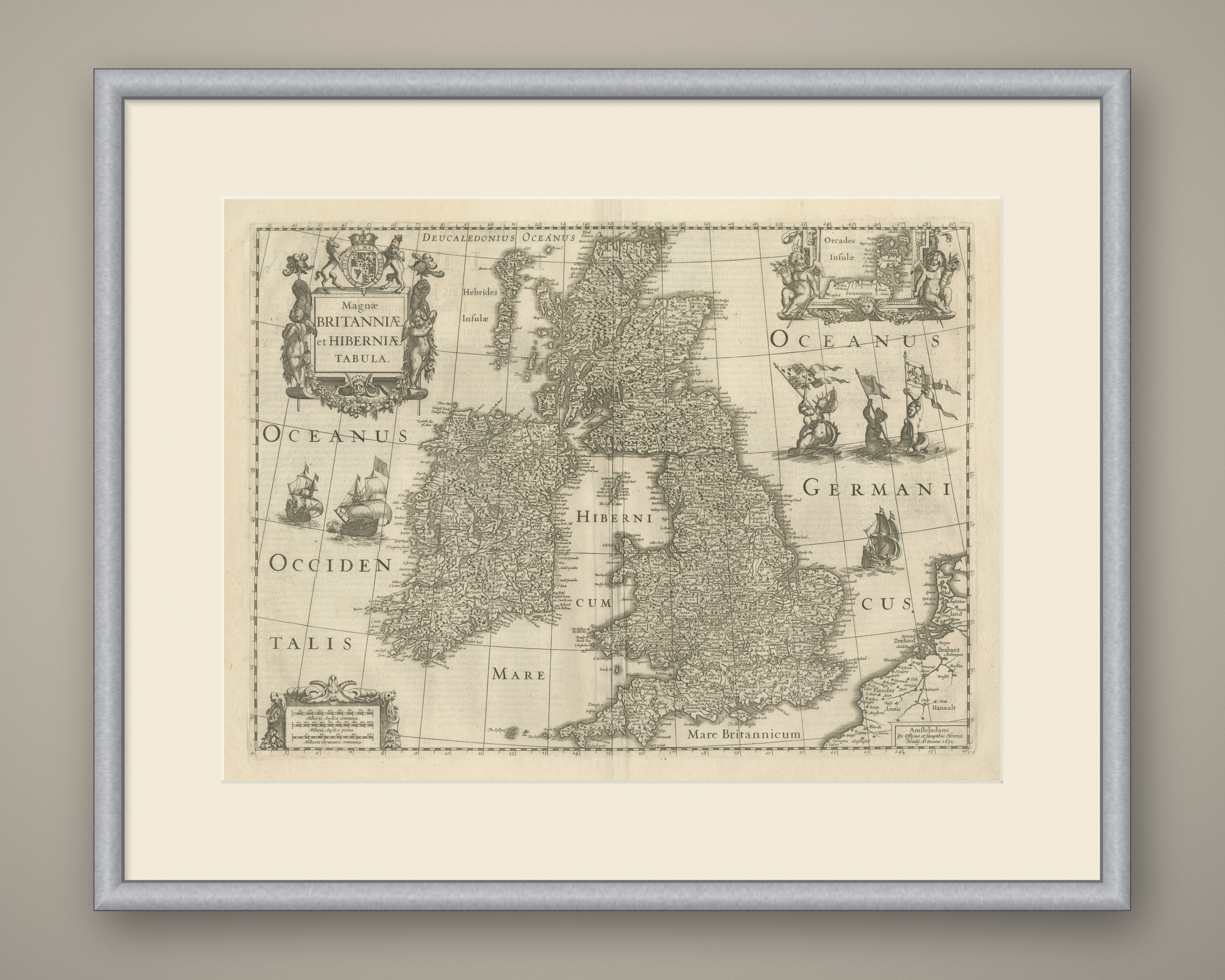
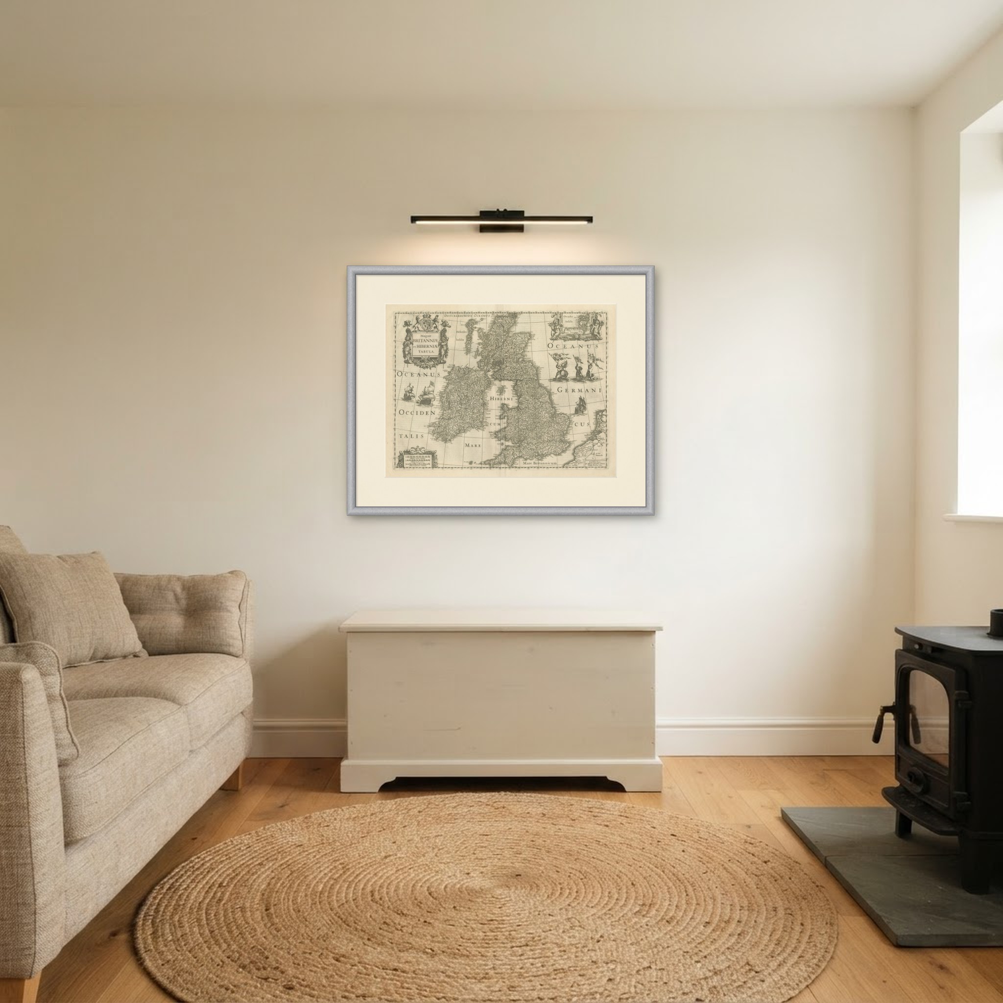
This is an original antique map, not a modern reproduction. This item is sold unframed. Any framed or interior images are shown for presentation and inspiration only, unless the listing explicitly states that the item is sold framed.