Antique Map of the Environs of Edinburgh and the Firth of Forth, 1885
€ 340
Original antique · The actual sheet photographed · Certificate of authenticity on request · Sold unframed · Worldwide shipping from € 15 (rates)
Date
1885
Mapmaker / artist
Edward Weller, F.R.G.S.
Publisher
G. W. Bacon and Co., London
Technique
Lithograph
Coloring
Original hand color
Condition
Good
Reference
BG-14216-93
What the condition grades mean
Excellent
Bright and clean, with no faults worth mentioning.
Very good
Only light signs of age, such as faint toning.
Good
Normal signs of age for a sheet of this period: toning, some foxing, small marks or neat old repairs.
Fair
Clear faults such as staining, tears or repairs, priced to match.
Every fault we see is written in the condition note, and the whole sheet is shown uncropped in the photos.
Condition
Vertical fold down the center from binding. Even age toning. Scattered light foxing in the margin. Minor edge wear, a shallow nick along the top at the fold.
About this sheet
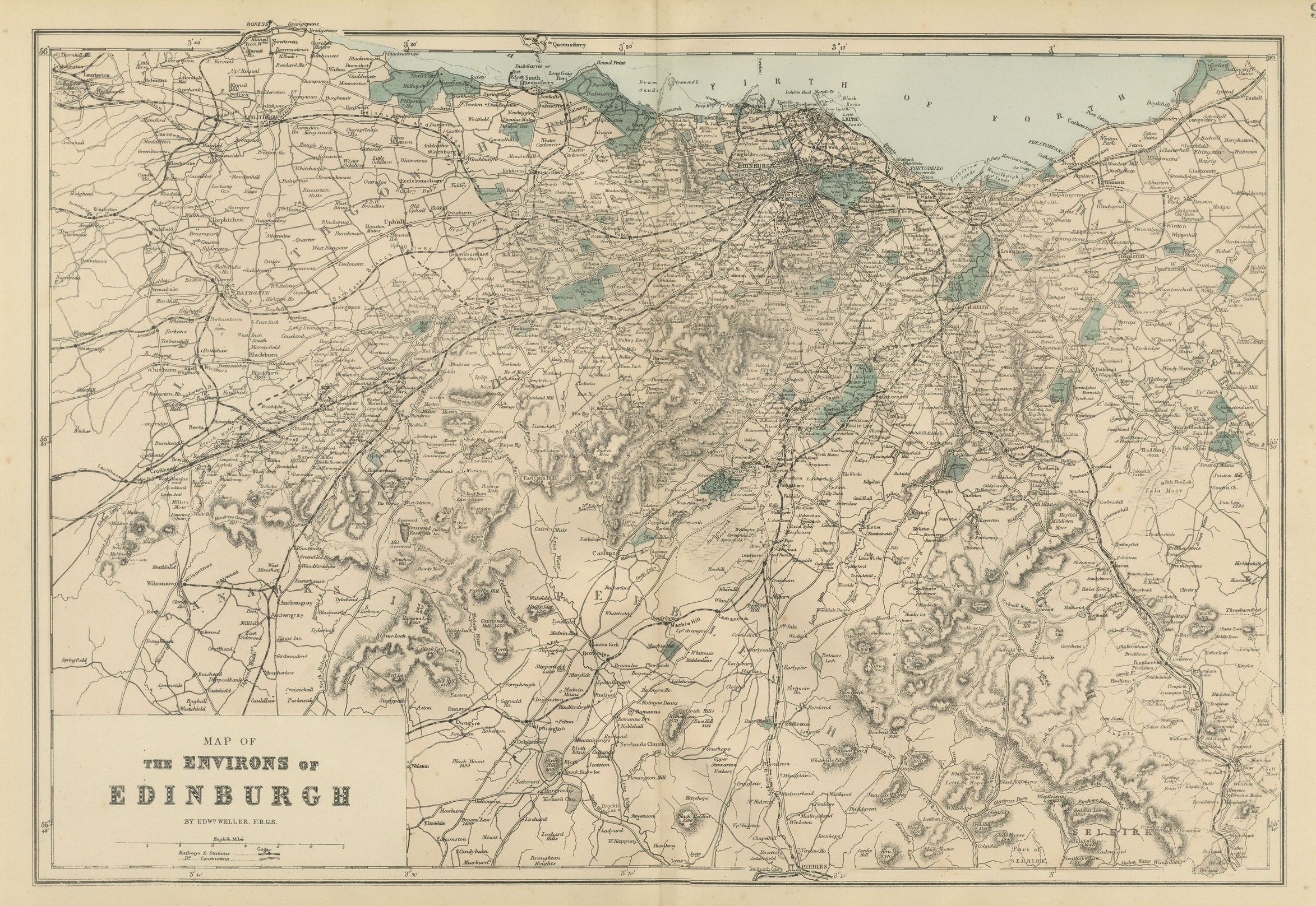
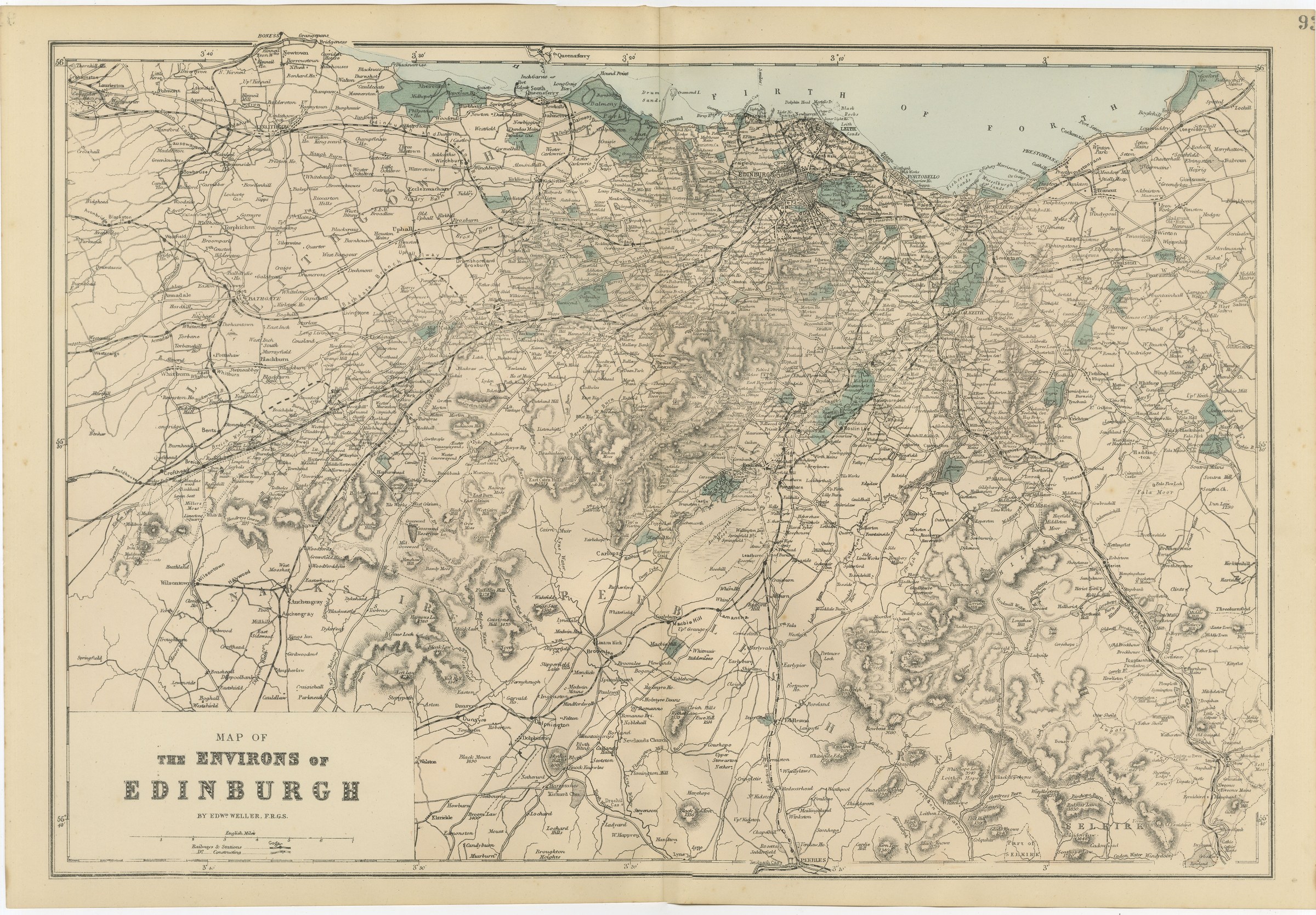
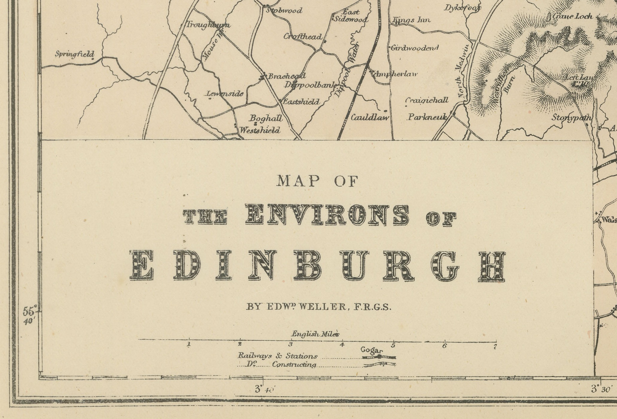
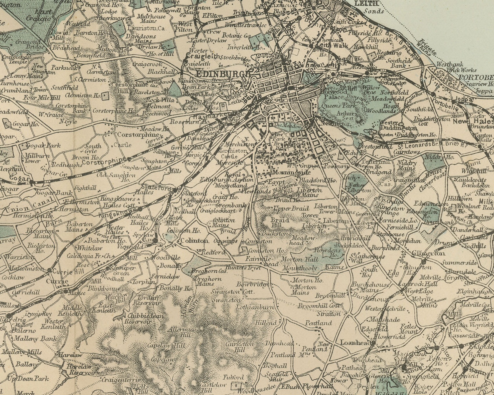
This is an original antique map of the country around Edinburgh, printed by lithography with original hand coloring and dated 1885 by the atlas it comes from. The title panel at the lower left reads "MAP OF", "THE ENVIRONS OF" and "EDINBURGH", followed by "BY EDWD WELLER, F.R.G.S.", with a scale of English Miles and a key to railways and stations and lines under construction.
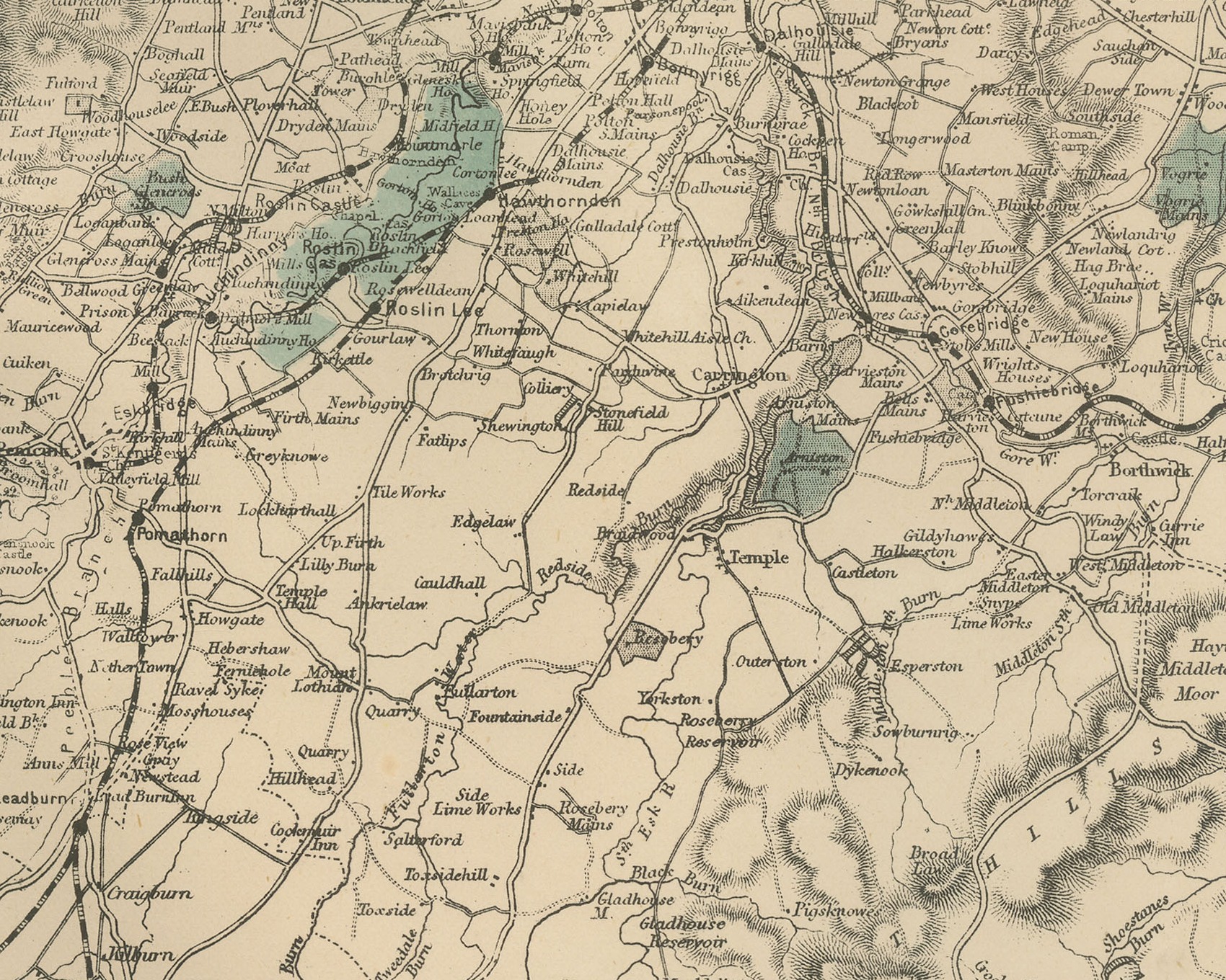
The Firth of Forth runs across the top of the sheet in pale blue, lettered "FIRTH OF FORTH", with Cramond Island, Queensferry and Dalmeny on the west and Leith, Portobello, Musselburgh, Prestonpans and Longniddry along the southern shore. Edinburgh lies near the shore at the upper center, drawn in close street detail with its railways converging on it. Woods and parks, such as Dalmeny Park, are washed by hand in green throughout the sheet. Linlithgow and Bathgate lie in the west with Lanarkshire lettered in the southwest, Dalkeith lies southeast of the city, and the hills to the south, modeled in close hachure with spot heights, run down to Peebles at the foot and part of Selkirk at the lower right. Railways run out of the city east, west and south, and the border is marked in degrees and minutes.
The sheet number at the upper right is cut by the trimmed edge.
It comes from The New Large Scale Ordnance Atlas of the British Isles, published in London by G. W. Bacon and Co., and is dated 1885 by the volume it was taken from; no date is printed on the sheet itself. Edward Weller (1819 to 1884) was a London map engraver and draftsman and a Fellow of the Royal Geographical Society.
Vertical fold down the center from binding. Even age toning. Scattered light foxing in the margin. Minor edge wear, a shallow nick along the top at the fold.
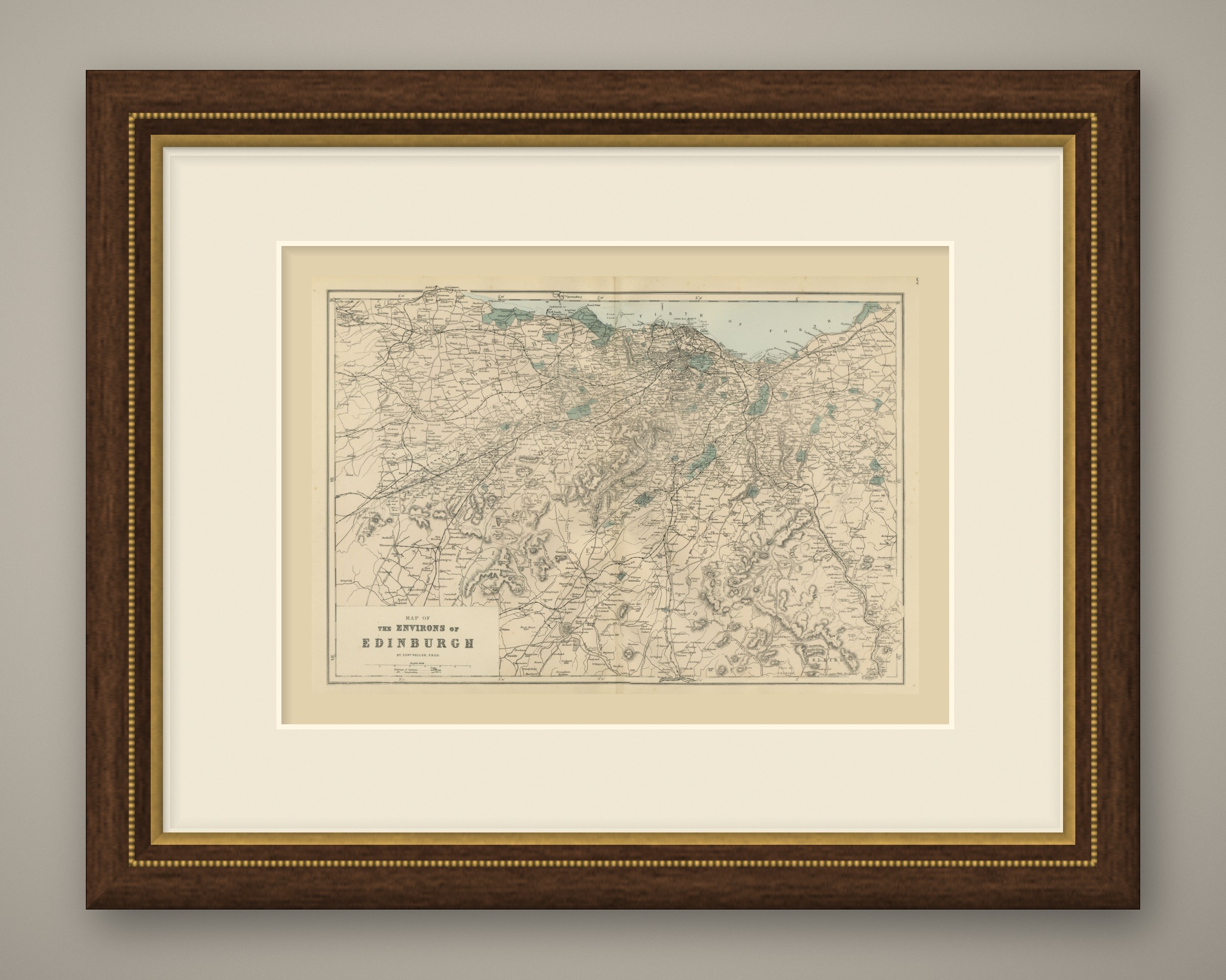
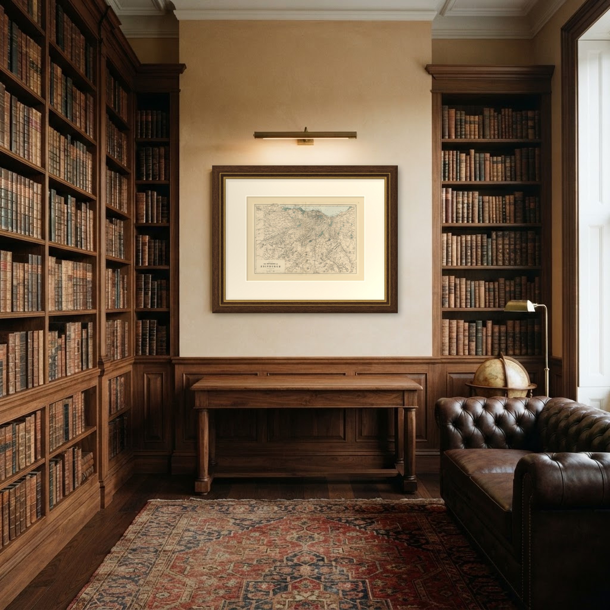
This is an original antique map, not a modern reproduction. This item is sold unframed. Any framed or interior images are shown for presentation and inspiration only, unless the listing explicitly states that the item is sold framed.