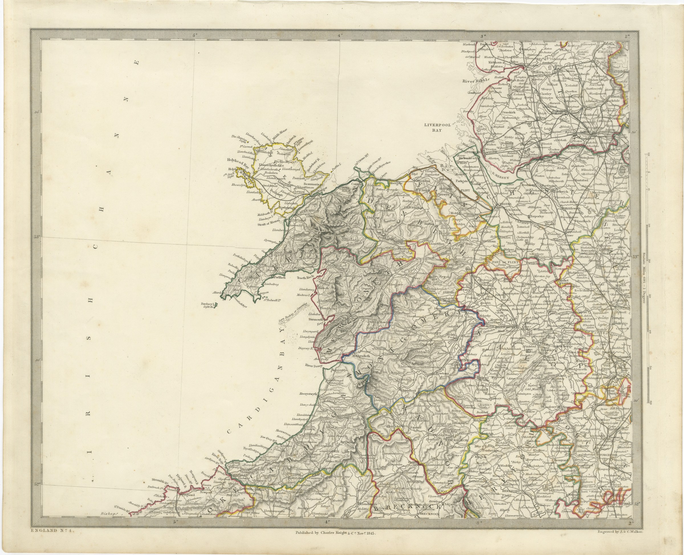
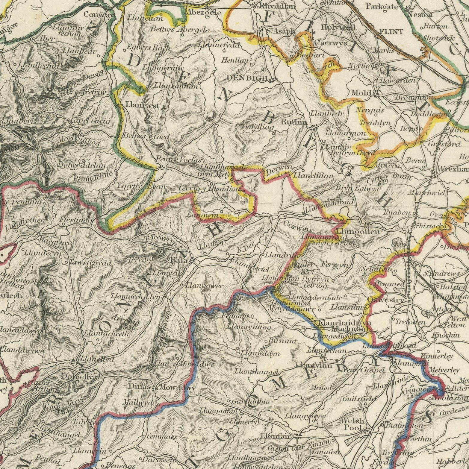
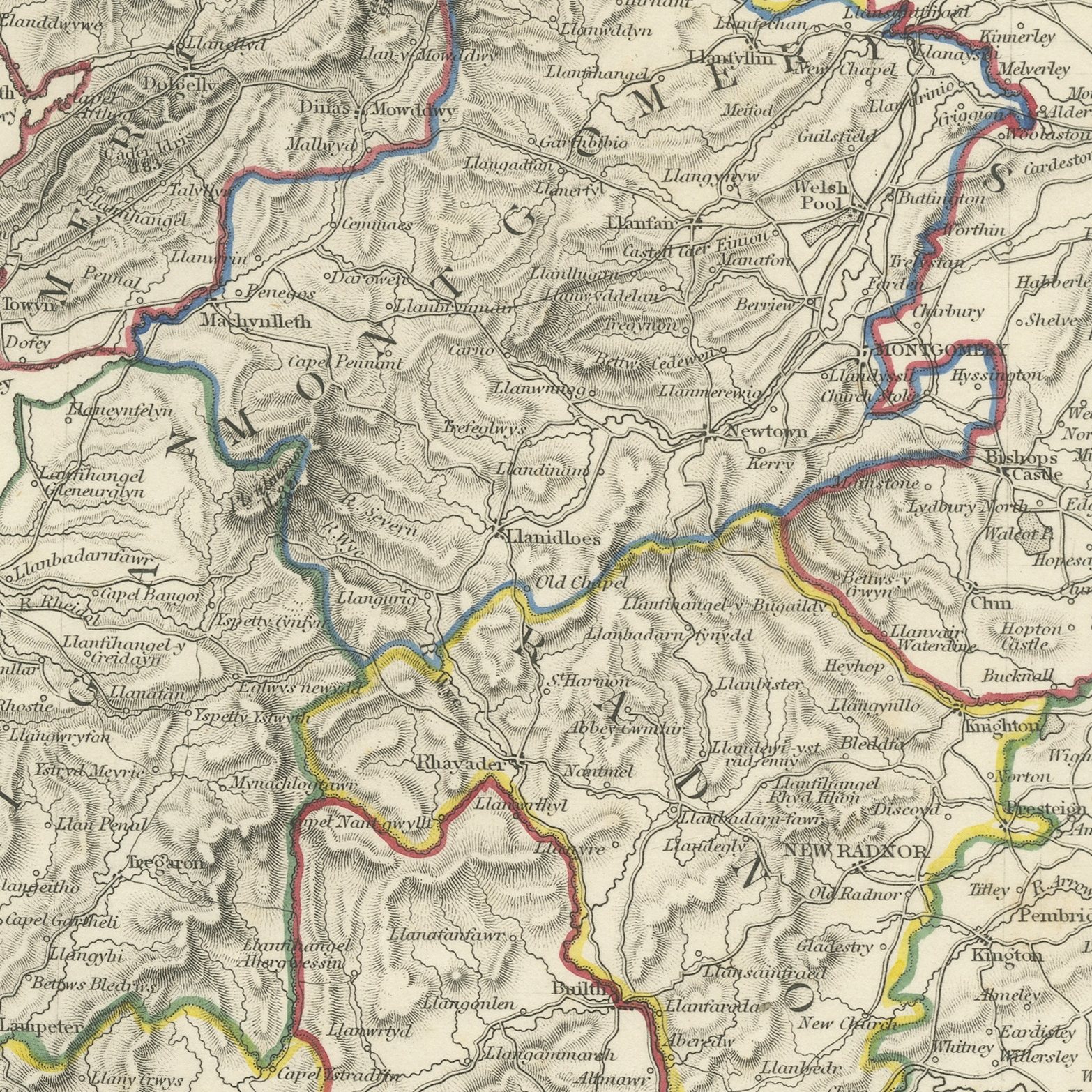
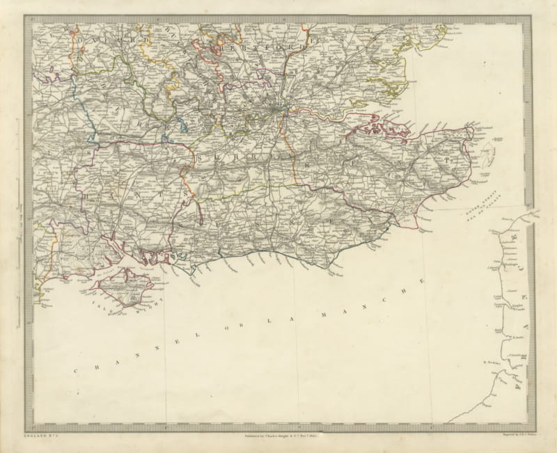
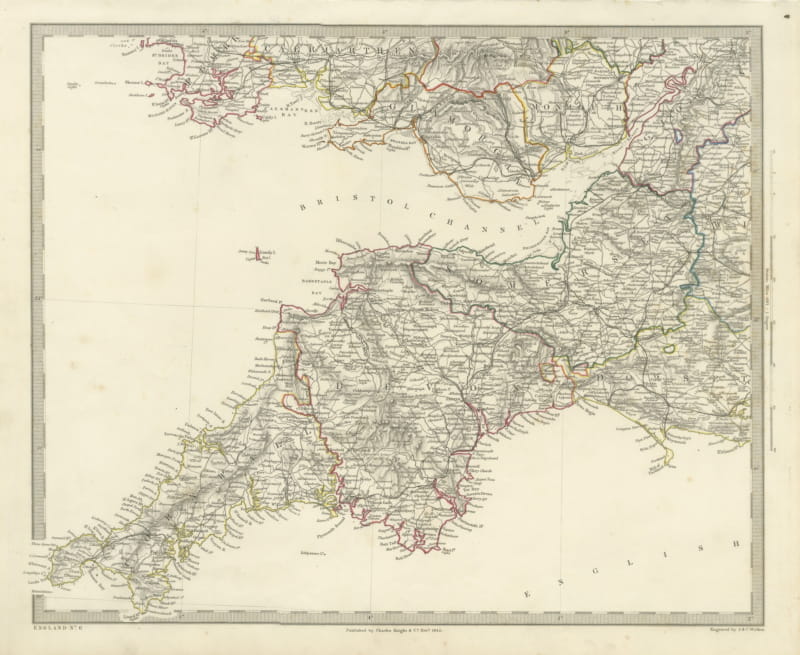
Wales and Cardigan Bay, Antique Map of the Welsh Coast and Hills, 1843
US$359
Original antique · The actual sheet photographed · Certificate of authenticity on request · Sold unframed · Worldwide shipping from € 15 (rates)
Date
1843
Mapmaker / artist
Society for the Diffusion of Useful Knowledge, London; engraved by John and Charles Walker
Publisher
Charles Knight and Company, 22 Ludgate Street, London
Technique
Steel Engraving
Coloring
Original hand color
Sheet size
35 × 43.5 cm (13.8 × 17.1 in)
Condition
Good
Reference
BG-14487-2-13
What the condition grades mean
Excellent
Bright and clean, with no faults worth mentioning.
Very good
Only light signs of age, such as faint toning.
Good
Normal signs of age for a sheet of this period: toning, some foxing, small marks or neat old repairs.
Fair
Clear faults such as staining, tears or repairs, priced to match.
Every fault we see is written in the condition note, and the whole sheet is shown uncropped in the photos.
Condition
Light overall age toning, with the paper darker along the bottom edge, foxing through the margins, one or two spots larger than the rest, stains in the margins and handling wear to the top right and bottom left corners.
About this sheet
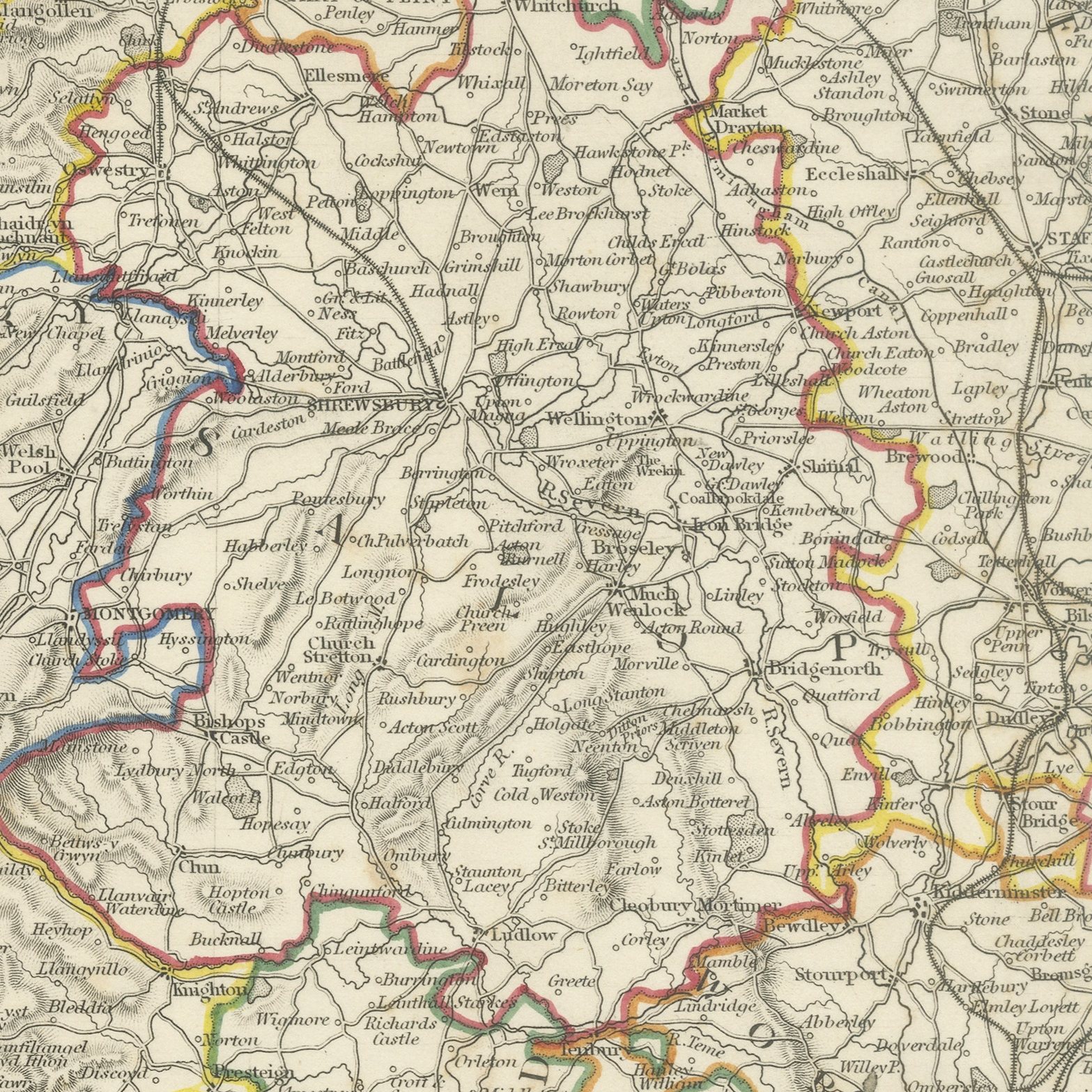
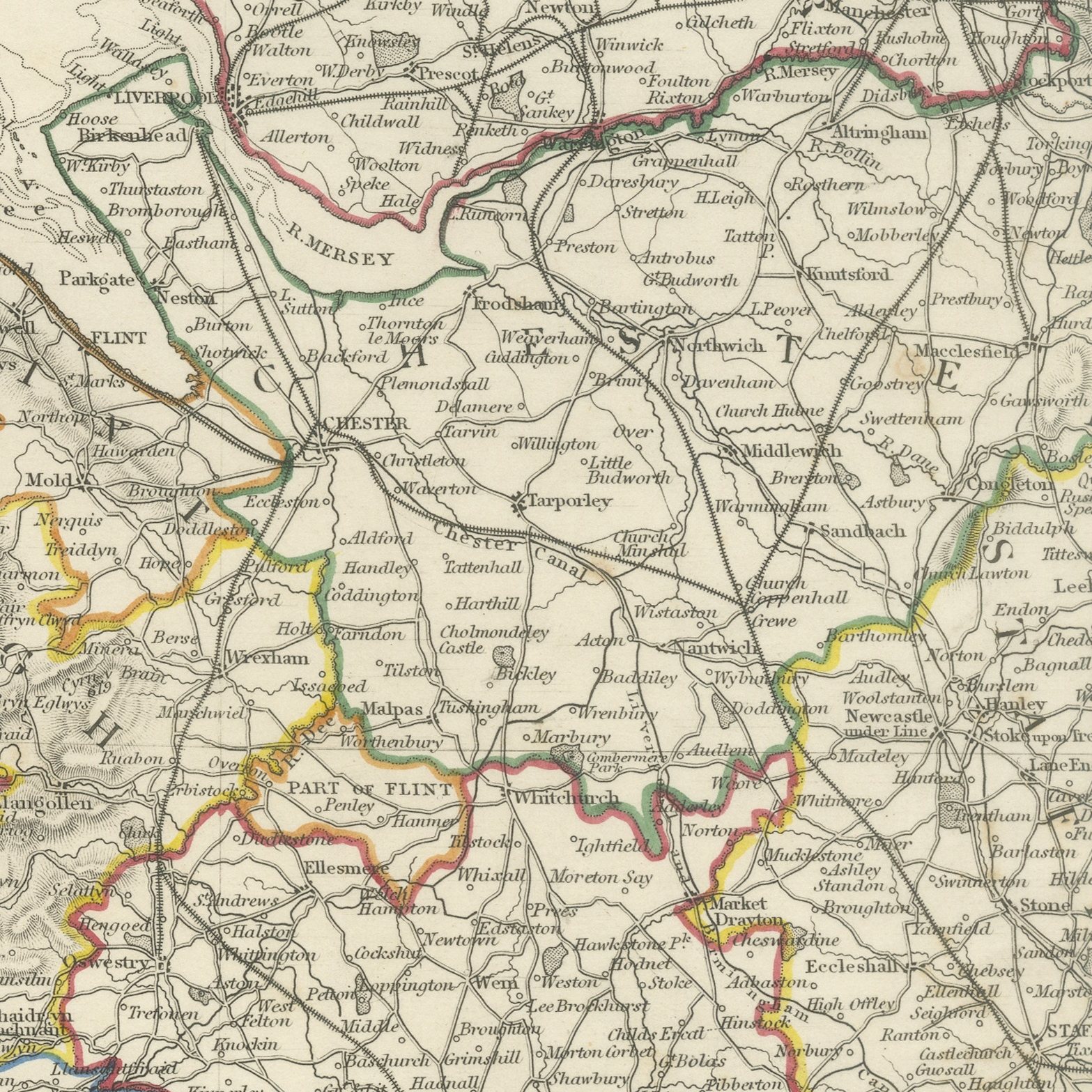
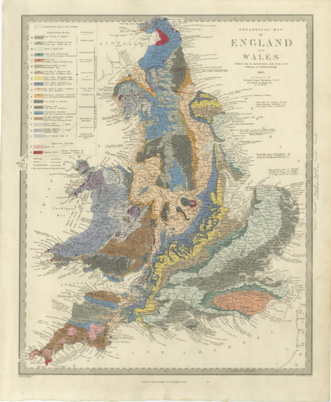
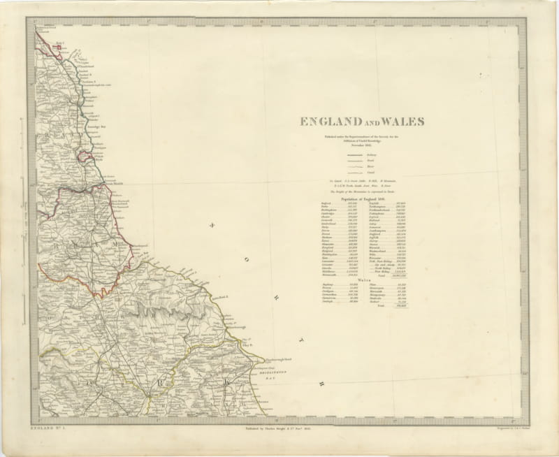
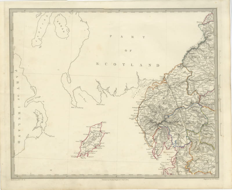
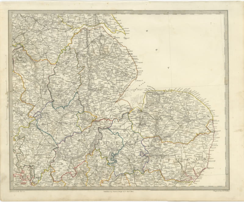
This antique map of 1843 is the fourth sheet of the Society's large map of England and Wales and gives the heart of Wales. Cardigan Bay sweeps across the right of the sheet from Tremadoc Bay in the north down past Aberystwyth and Aberaeron to the Teifi estuary, and behind it the counties of Merioneth, Montgomery, Radnor, Cardigan, Brecknock and Carmarthen rise in close engraved hachure, with the Cambrian Mountains and the Brecon hills worked in detail and heights given in yards. The Welsh county boundaries are divided by hand applied color in green, red, orange, purple and yellow, and the roads, rivers and market towns are engraved with the same care given to the English sheets. Harlech, Barmouth, Dolgelley, Machynlleth, Lampeter, Llandovery and Llandeilo are among the places named, and the long open water of the Irish Channel fills the outer edge.
The plate comes from Maps of the Society for the Diffusion of Useful Knowledge, in the new edition corrected to the present time that Charles Knight and Company published at 22 Ludgate Street, London, in 1845, whose first volume covers Europe. The Society was founded in 1826 by Henry Brougham and his circle to publish useful knowledge at a low price. Its maps were issued in parts from 1829, first by Baldwin and Cradock, from 1842 by Chapman and Hall and then by Charles Knight, and the series grew to about two hundred maps. Most of them were engraved on steel by John and Charles Walker, and the outline color was applied by hand.
The plate is signed by J. and C. Walker as engravers. The imprint at the foot names Charles Knight and Company of 22 Ludgate Street, London and is dated November 1843.
Light overall age toning, with the paper darker along the bottom edge, foxing through the margins, one or two spots larger than the rest, stains in the margins and handling wear to the top right and bottom left corners.
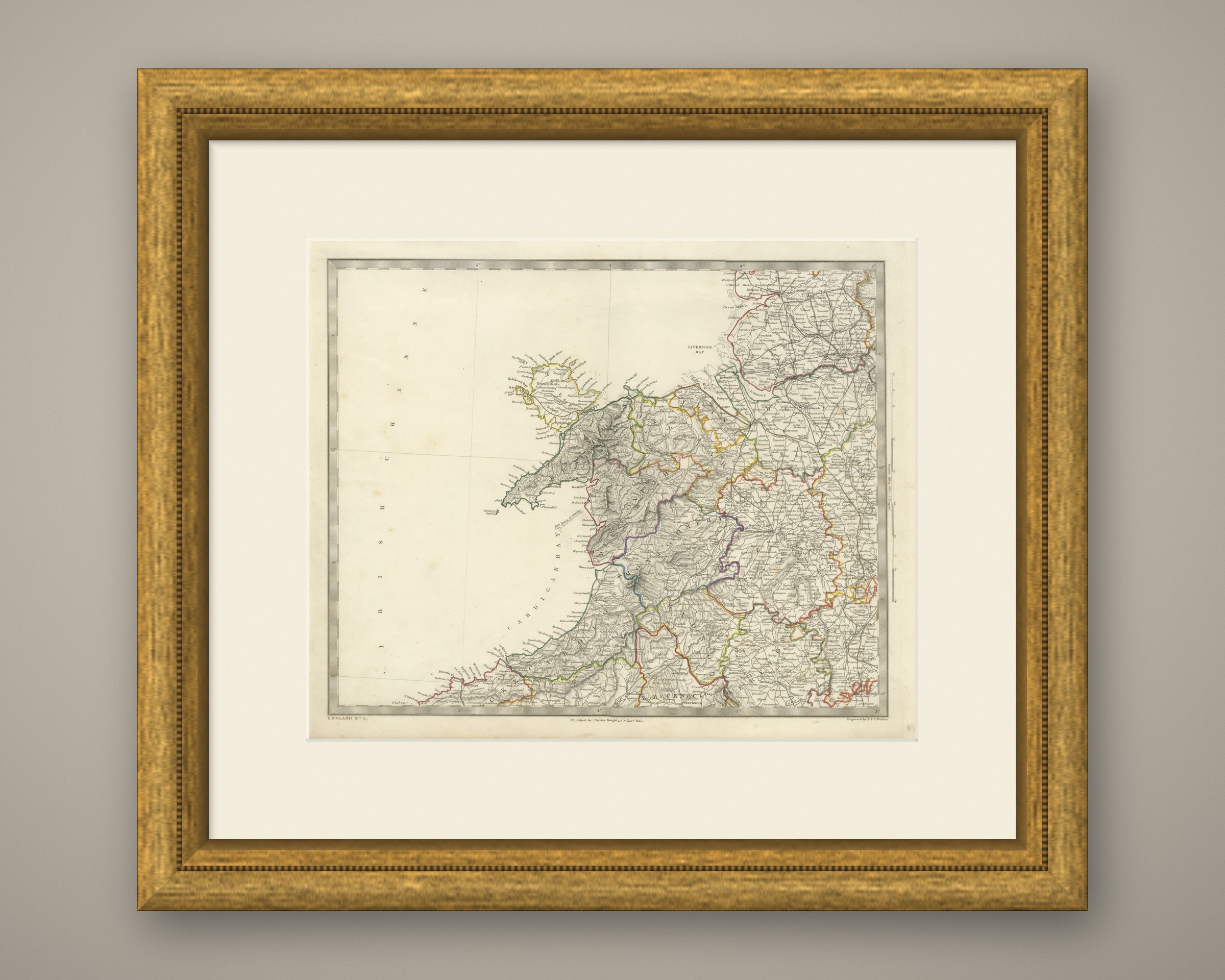
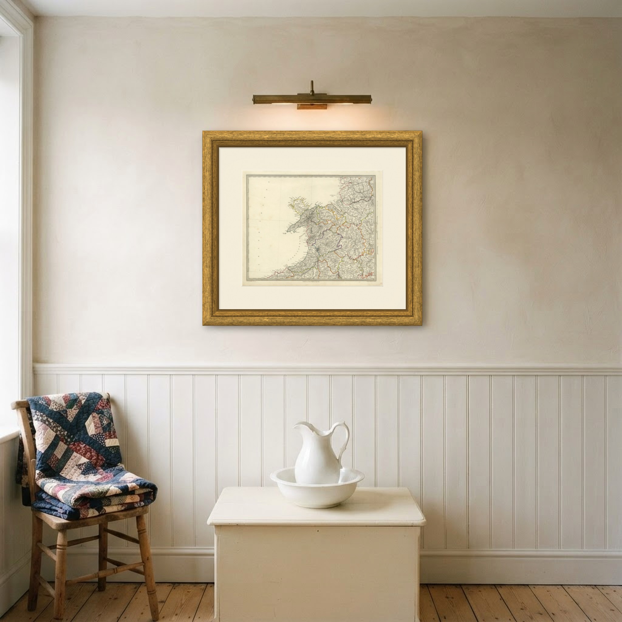
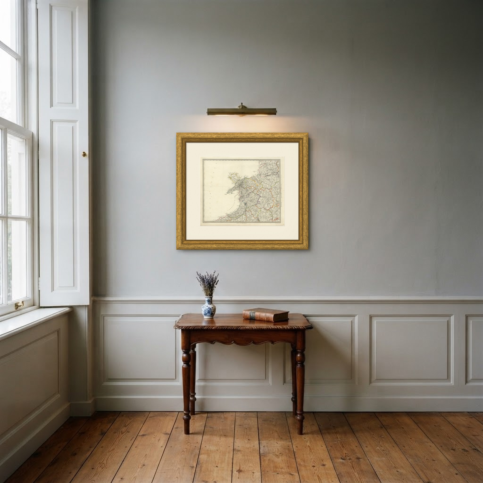
This is an original antique map, not a modern reproduction. This item is sold unframed. Any framed or interior images are shown for presentation and inspiration only, unless the listing explicitly states that the item is sold framed.