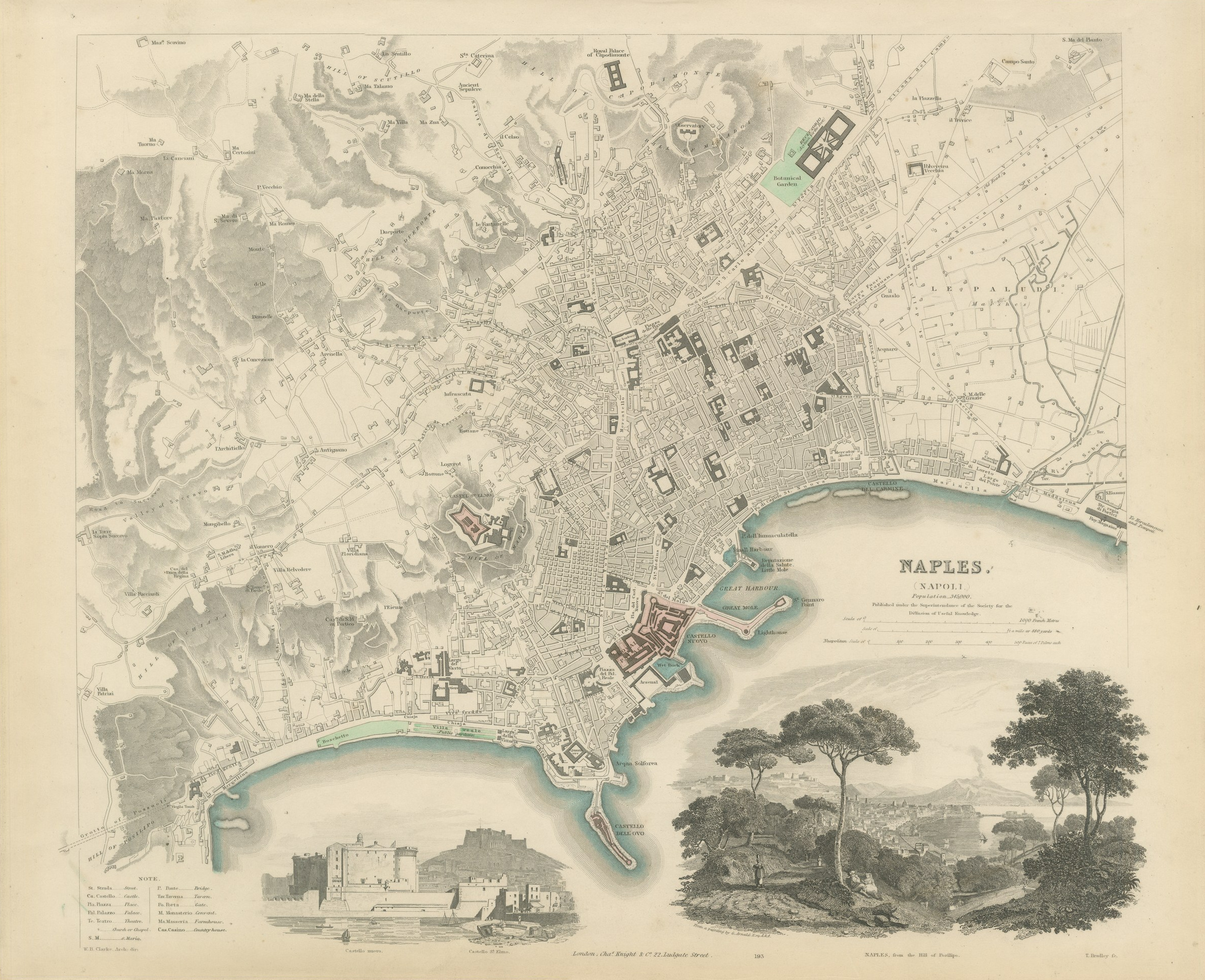
Antique Plan of Naples with Castel Nuovo and a Posillipo View, 1847
US$920
Original antique · The actual sheet photographed · Certificate of authenticity on request · Sold unframed · Worldwide shipping from € 15 (rates)
Date
1847
Mapmaker / artist
Society for the Diffusion of Useful Knowledge
Publisher
Charles Knight and Co., 22 Ludgate Street, London
Technique
Steel Engraving
Coloring
Original hand color
Sheet size
35 × 43 cm (13.8 × 16.9 in)
Condition
Good
Reference
BG-14487-1-29
What the condition grades mean
Excellent
Bright and clean, with no faults worth mentioning.
Very good
Only light signs of age, such as faint toning.
Good
Normal signs of age for a sheet of this period: toning, some foxing, small marks or neat old repairs.
Fair
Clear faults such as staining, tears or repairs, priced to match.
Every fault we see is written in the condition note, and the whole sheet is shown uncropped in the photos.
Condition
Light uneven toning, browner toward the edges. Handling soiling along the bottom, left and right edges. Slight wear at the bottom left corner.
About this sheet
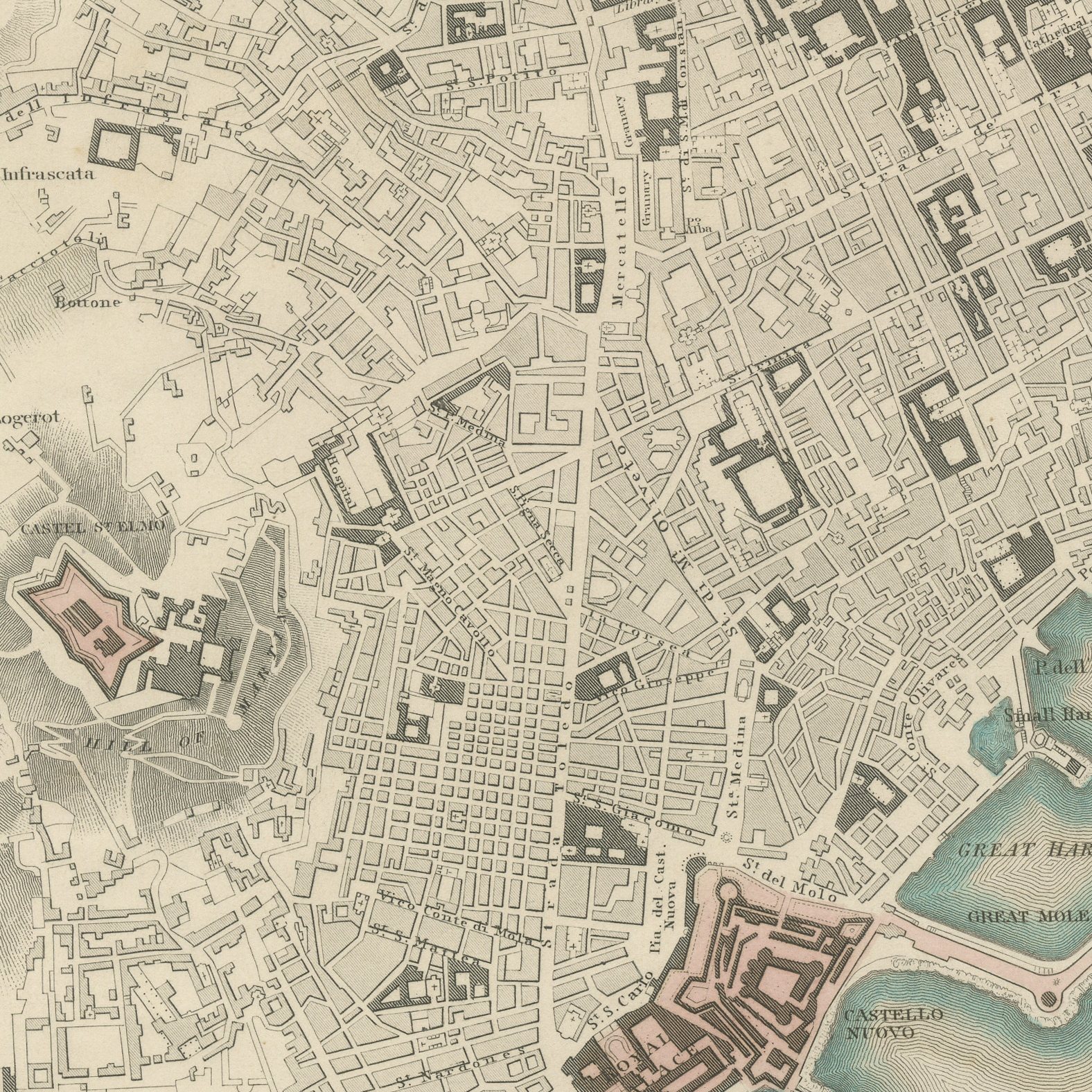
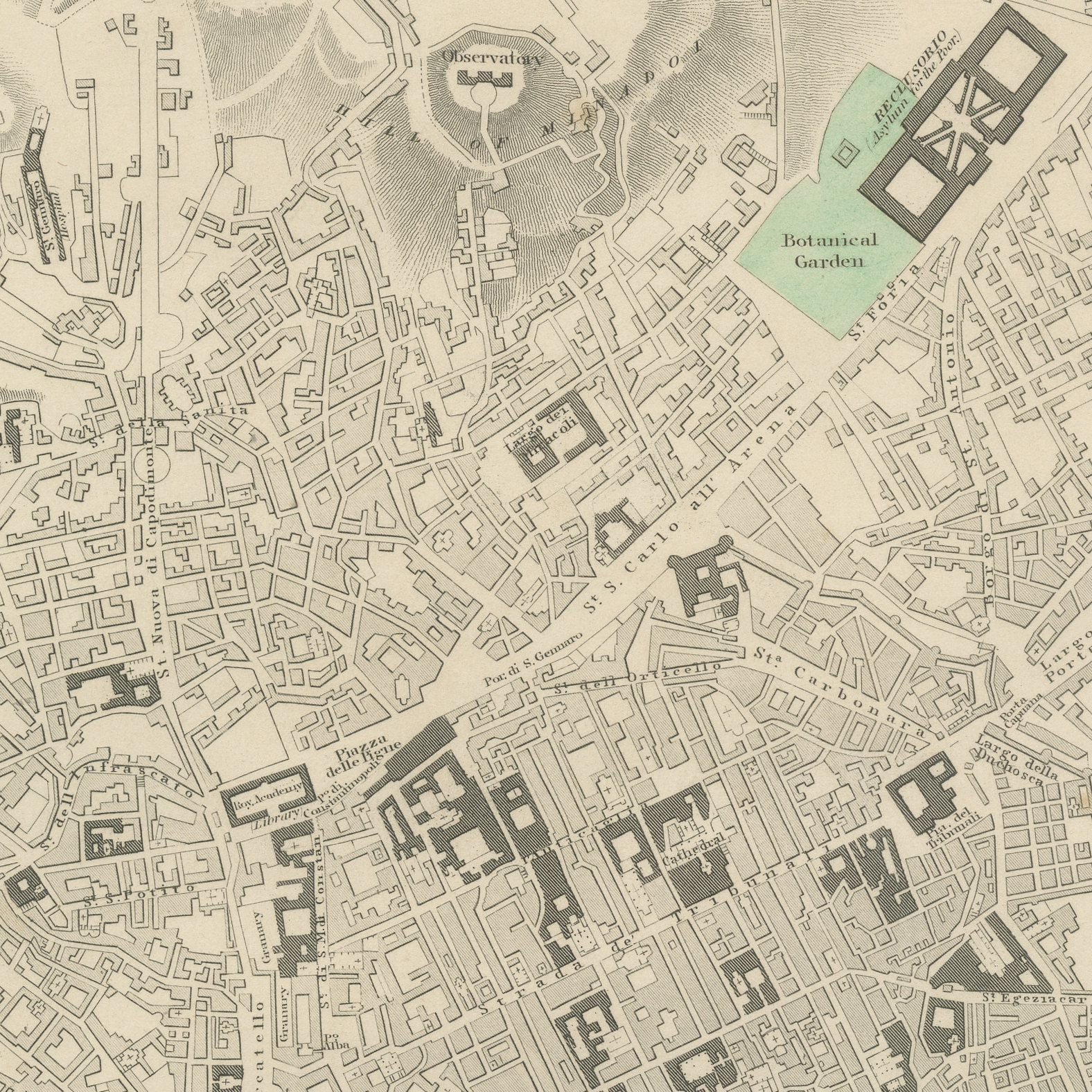
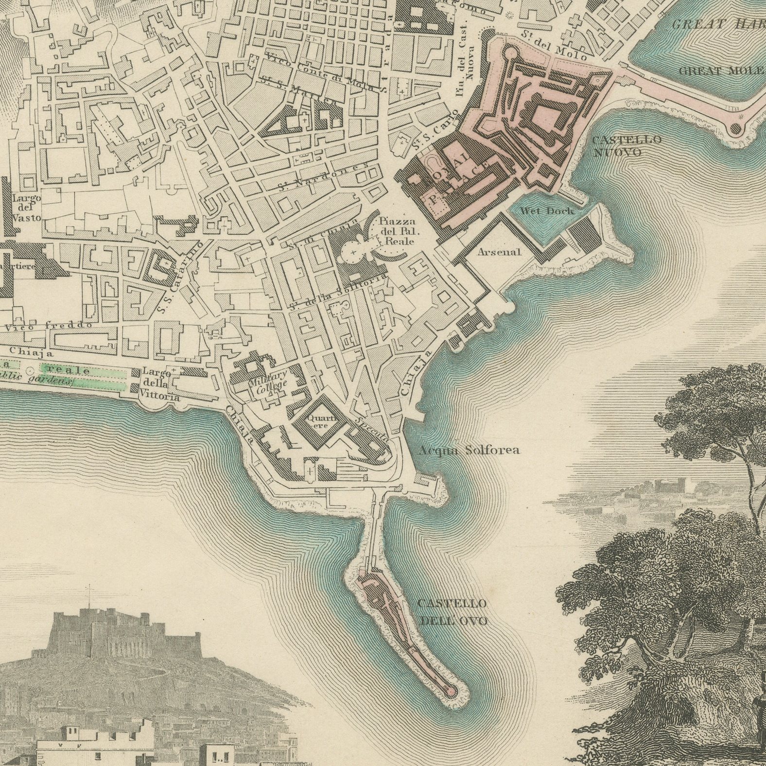
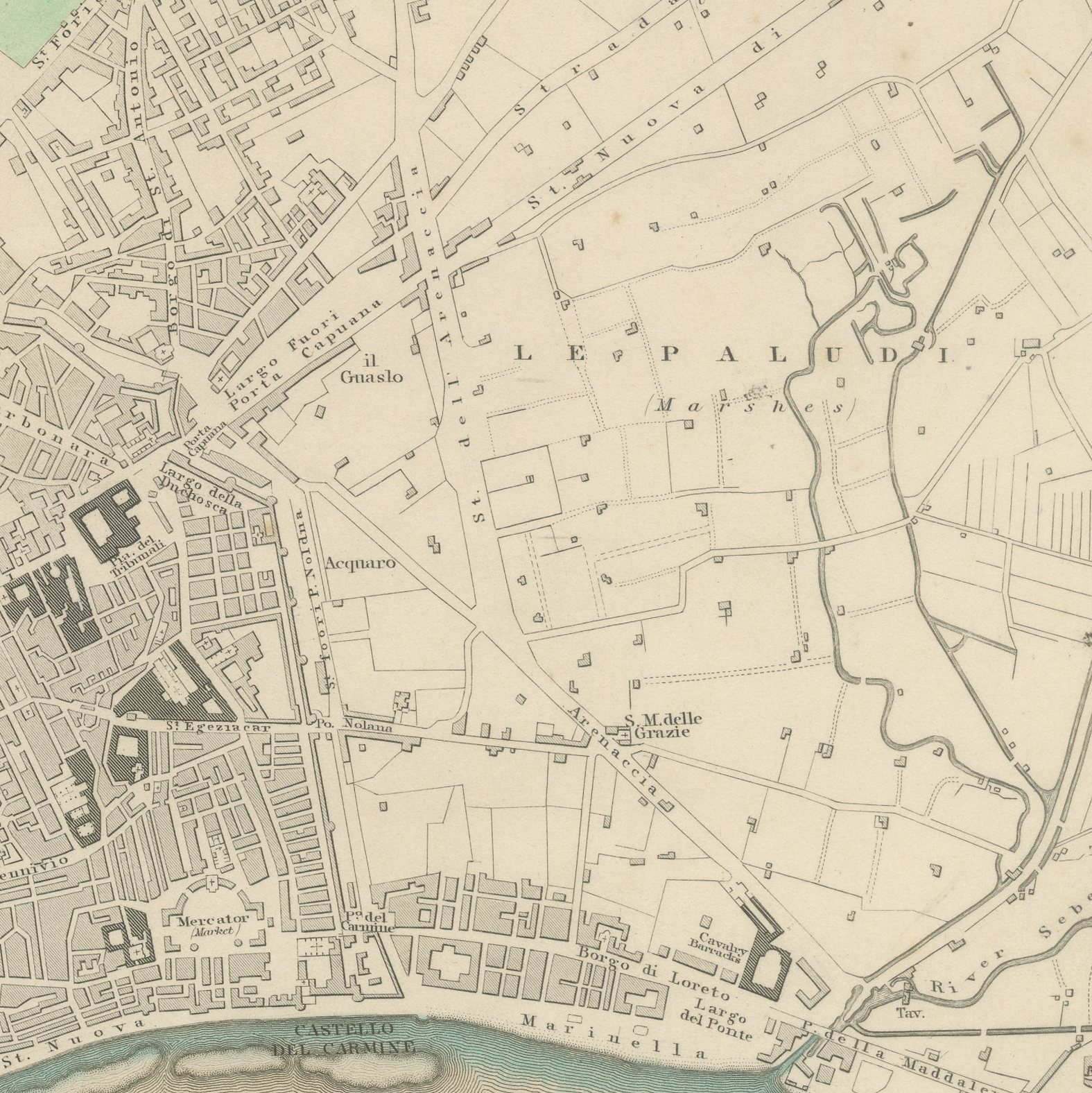
This is an original antique city plan of Naples, steel engraved and published in the atlas of the Society for the Diffusion of Useful Knowledge. The plan shows the city packed along the bay from the Castel dell'Ovo round to the Castel del Carmine, with the Castel Nuovo and the Great Mole at the harbor, the Castel Sant'Elmo on the hill above and the Botanical Garden to the north. The population is given as three hundred and forty nine thousand, and two vignettes sit at the foot: the Castel Nuovo with the Castel Sant'Elmo behind, and Naples from the hill of Posillipo after a painting by George Arnald. The outline and water coloring is original hand color, applied by the publisher before the sheet was bound into the volume.
It is plate number 193 of the third volume of the Society's atlas, published by Charles Knight and Company, 22 Ludgate Street, London, in 1847. Lord Brougham's Society set out to supply accurate maps at a price a clerk could afford, and the steel engraved city plans it produced between 1830 and 1847 remain the best series of town plans of their generation.
Naples was the largest city in Italy and the capital of the Two Sicilies when this plan was made, and the Posillipo view with Vesuvius smoking on the horizon is the classic image of the Grand Tour. The plan and the view together make this one of the most decorative Italian sheets in the series. Framed simply in dark wood or a plain gilt frame it suits a study, a hallway or a dining room, and it is a natural gift for anyone with a tie to the place.
Light uneven toning, browner toward the edges. Handling soiling along the bottom, left and right edges. Slight wear at the bottom left corner.
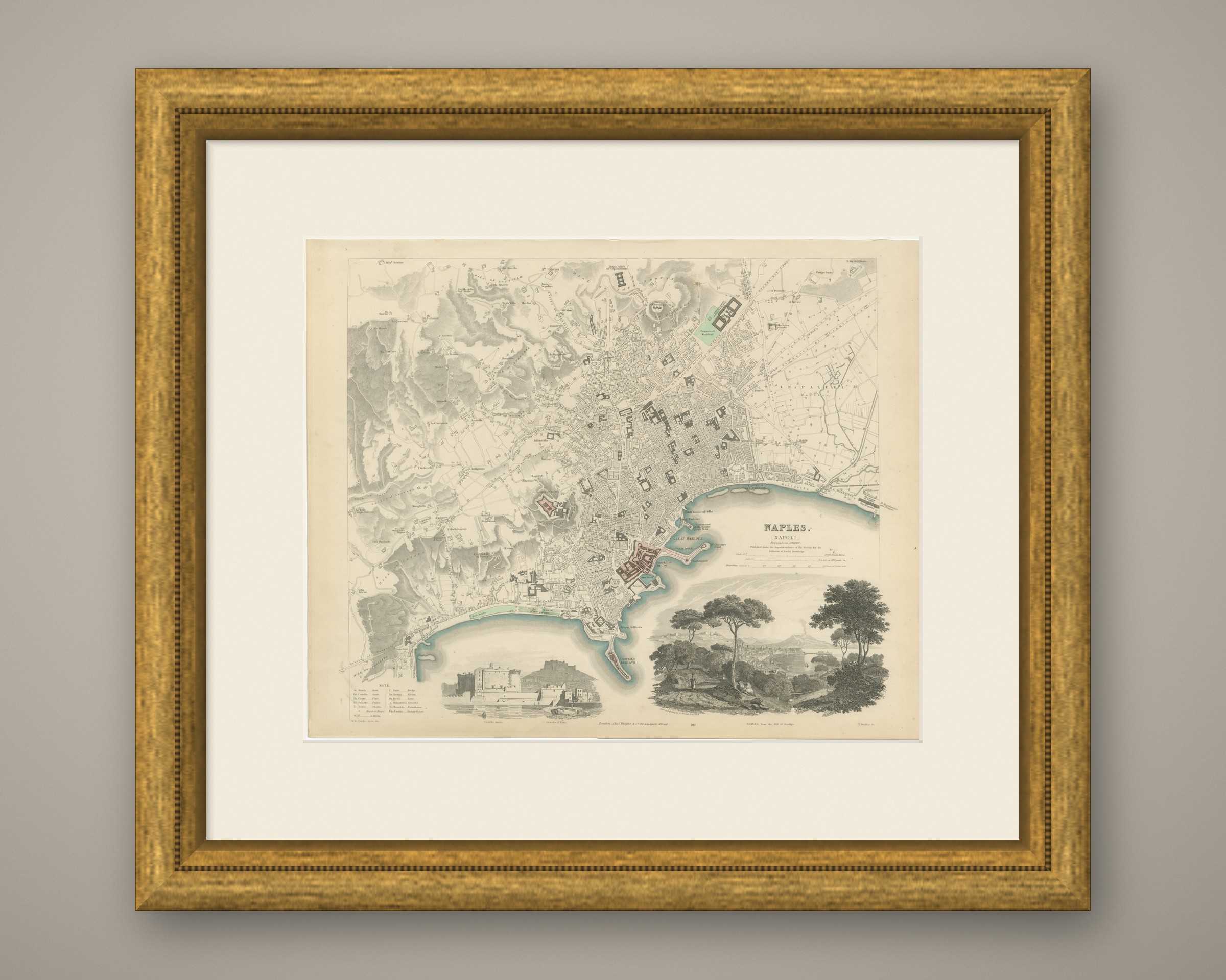
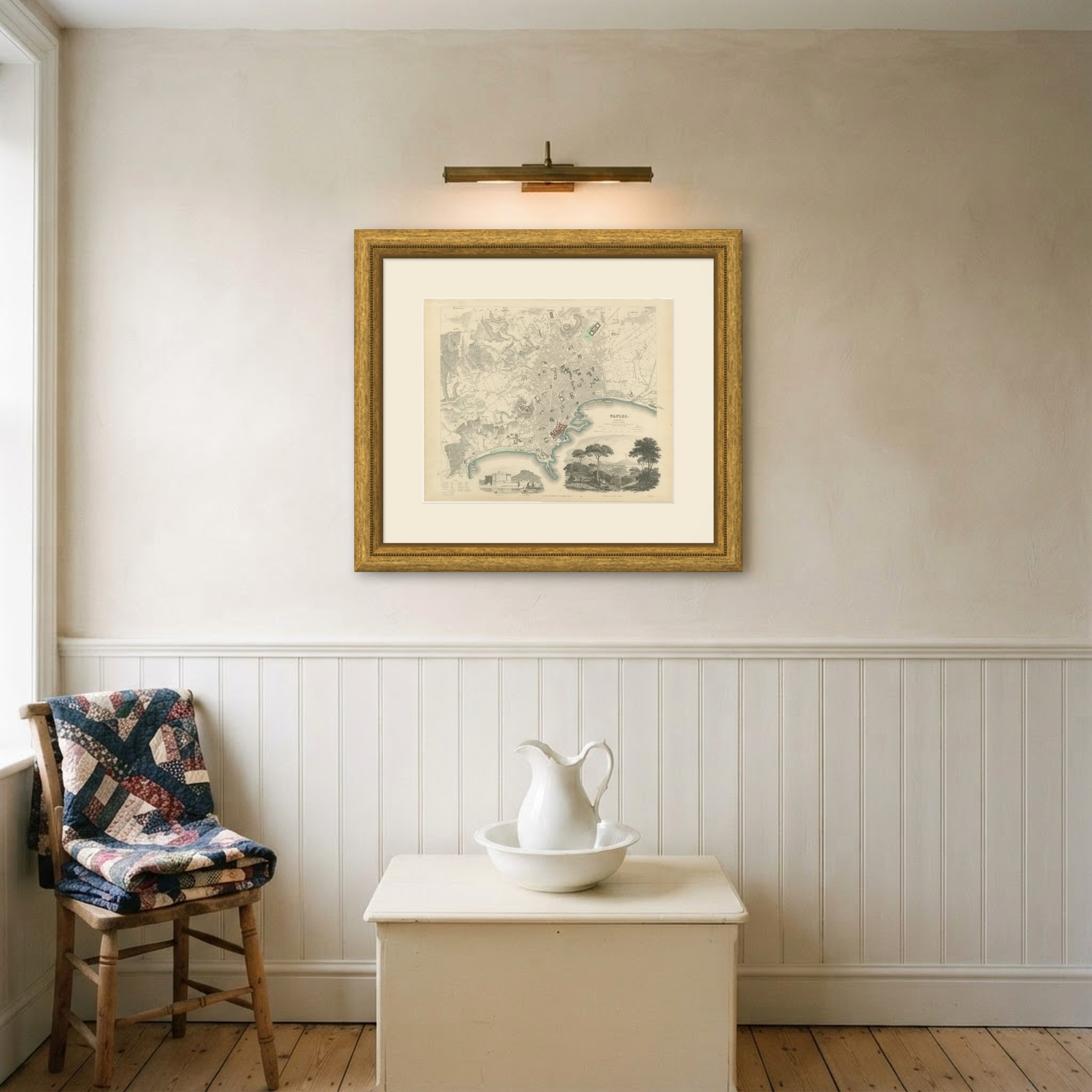
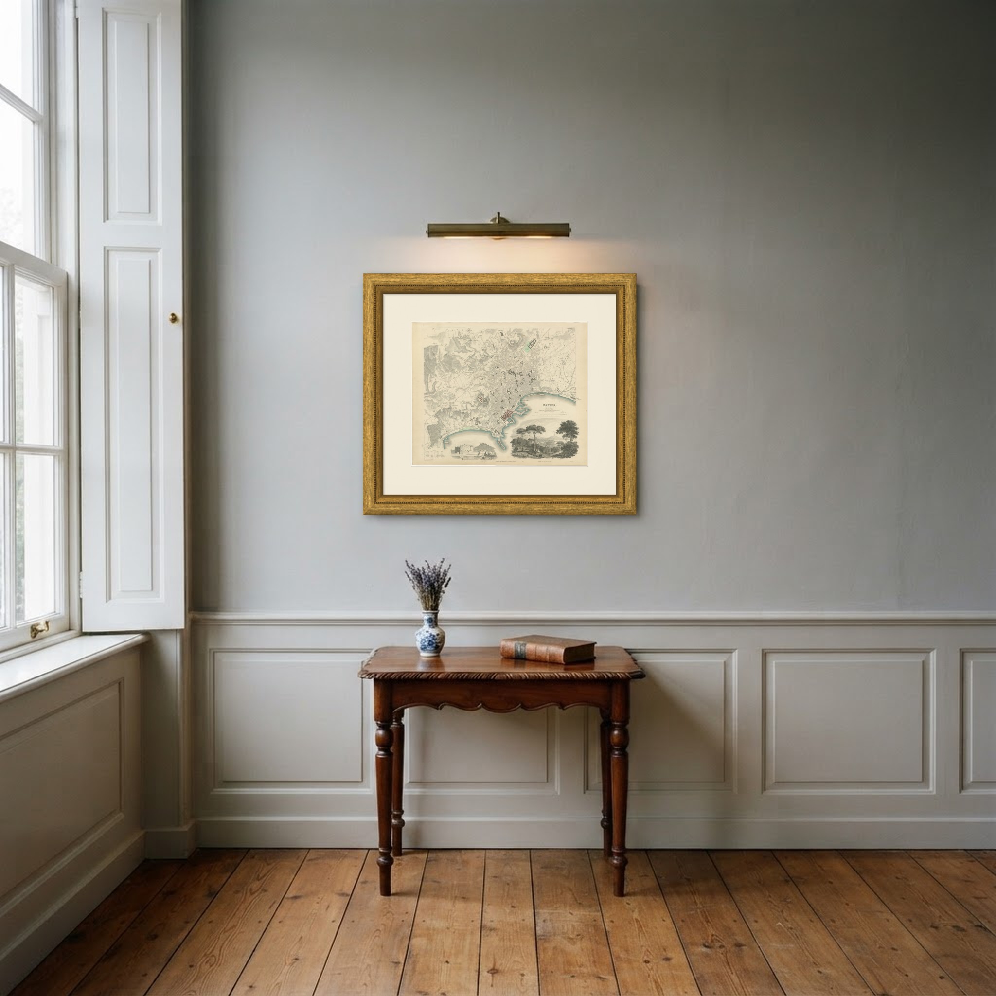
This is an original antique map, not a modern reproduction. This item is sold unframed. Any framed or interior images are shown for presentation and inspiration only, unless the listing explicitly states that the item is sold framed.