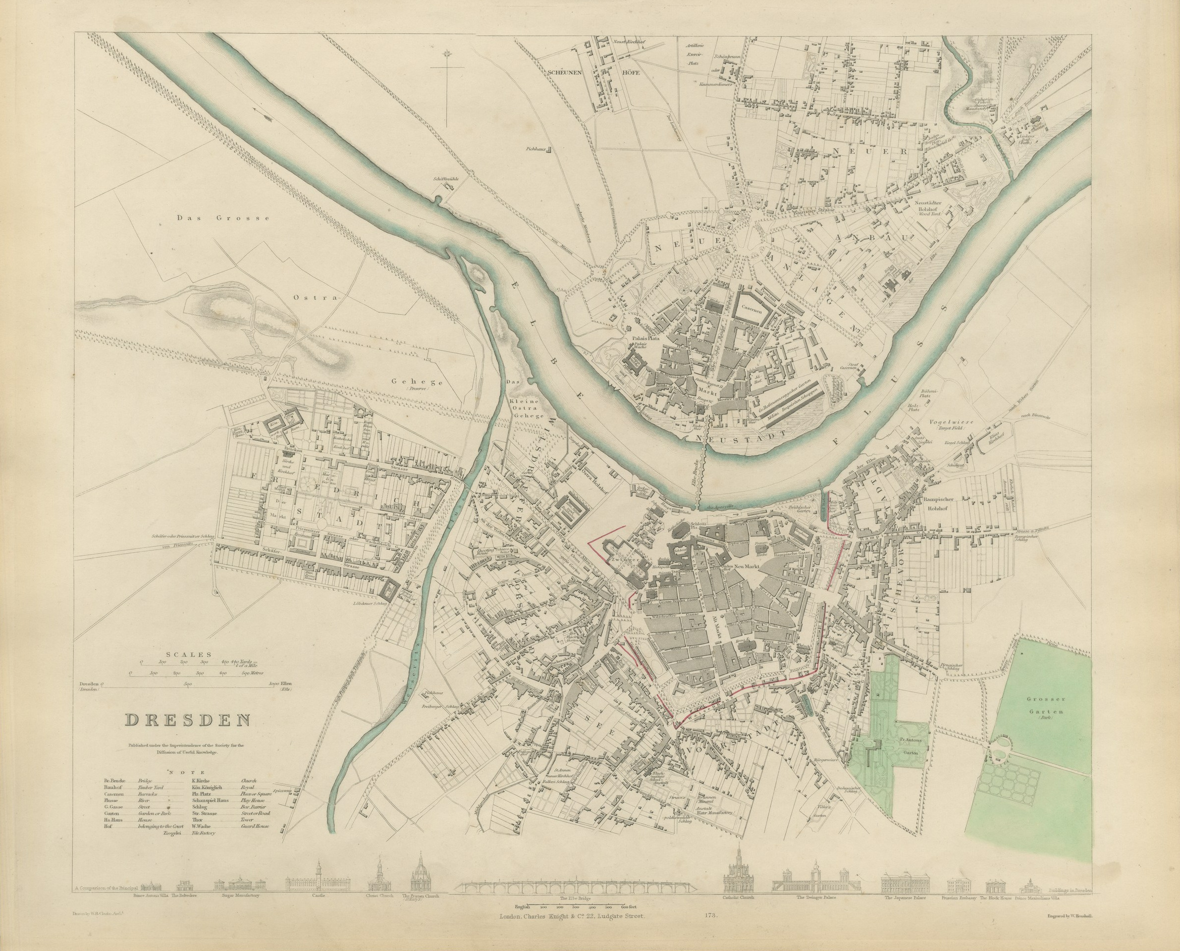
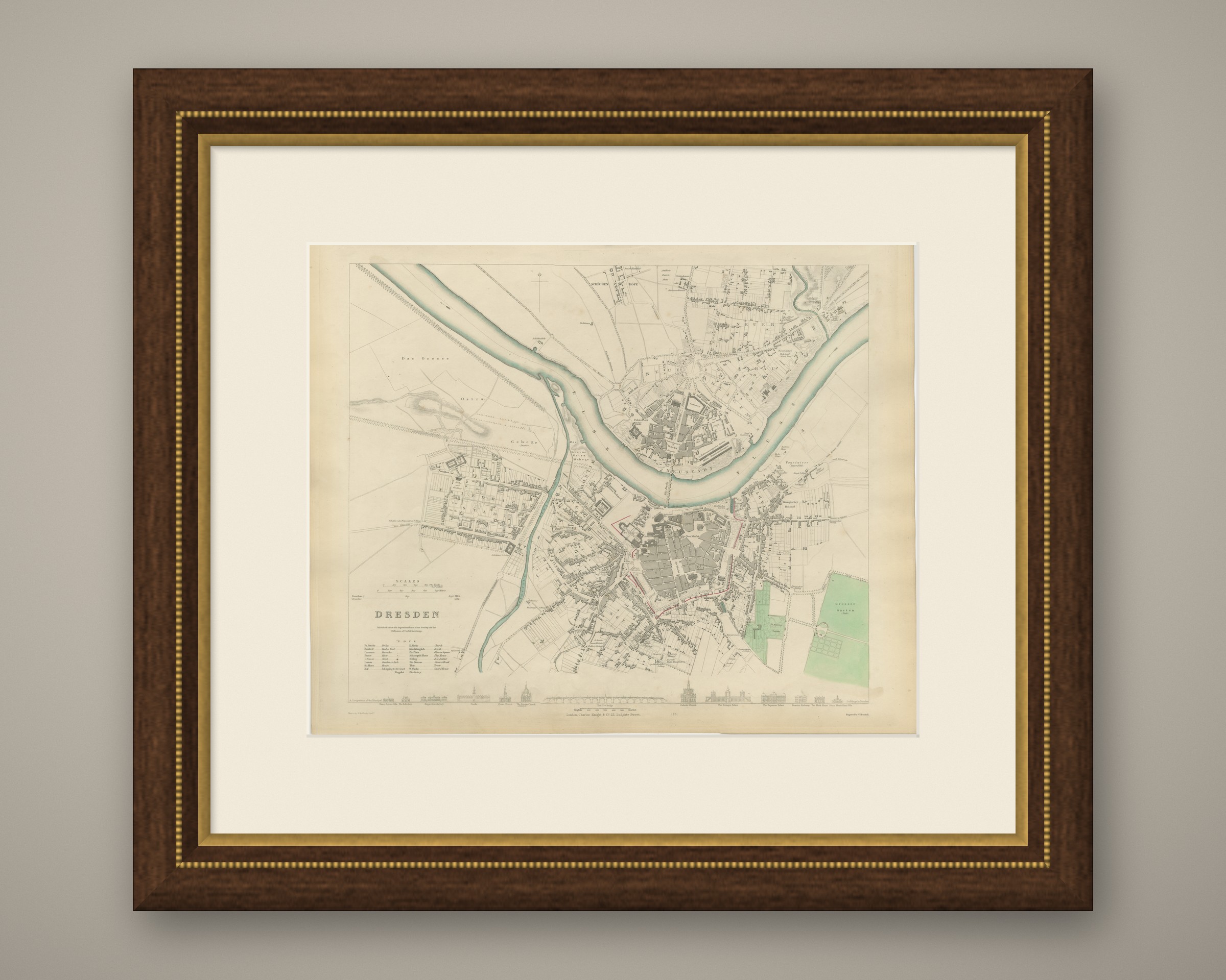
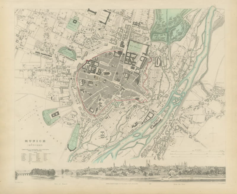
Antique Plan of Dresden with the Zwinger and Elbe Bridge, 1847
€ 680
Original antique · The actual sheet photographed · Certificate of authenticity on request · Sold unframed · Worldwide shipping from € 15 (rates)
Date
1847
Mapmaker / artist
Society for the Diffusion of Useful Knowledge
Publisher
Charles Knight and Co., 22 Ludgate Street, London
Technique
Steel Engraving
Coloring
Original hand color
Sheet size
35 × 43 cm (13.8 × 16.9 in)
Condition
Good
Reference
BG-14487-1-12
What the condition grades mean
Excellent
Bright and clean, with no faults worth mentioning.
Very good
Only light signs of age, such as faint toning.
Good
Normal signs of age for a sheet of this period: toning, some foxing, small marks or neat old repairs.
Fair
Clear faults such as staining, tears or repairs, priced to match.
Every fault we see is written in the condition note, and the whole sheet is shown uncropped in the photos.
Condition
Light uneven toning, browner toward the edges. Handling soiling along the bottom, left and right edges. A few small foxing spots in the margin. All four corners complete.
About this sheet
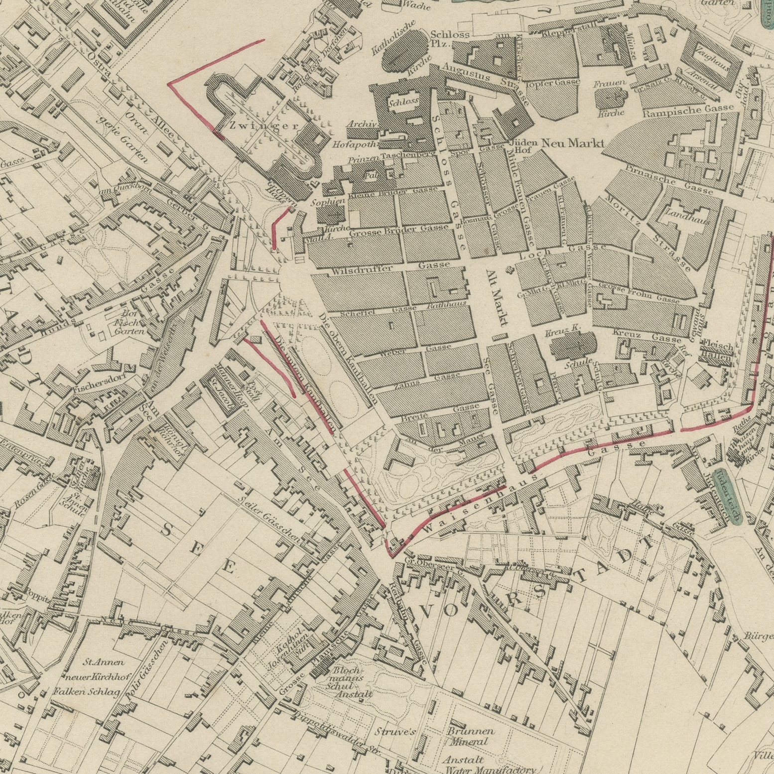
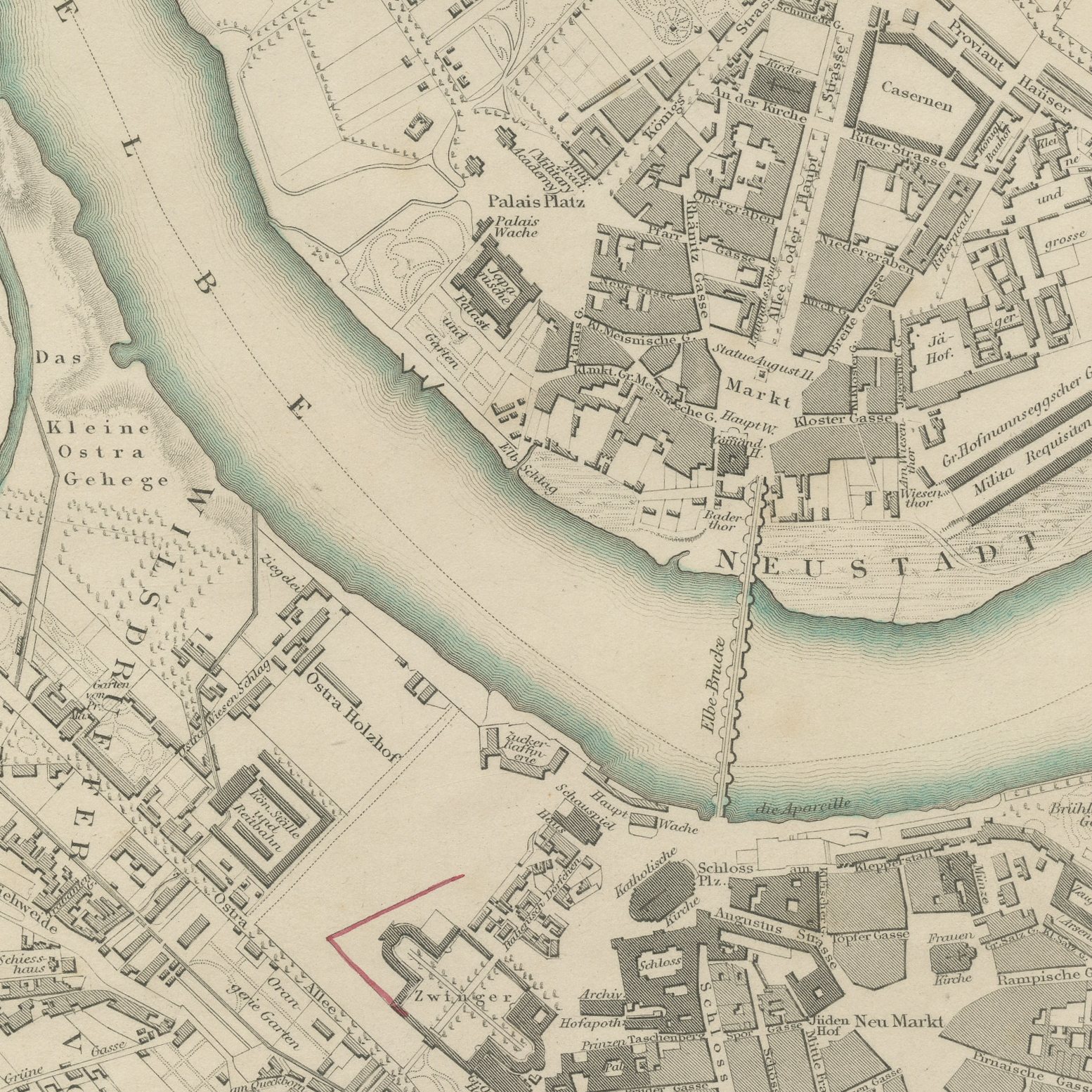
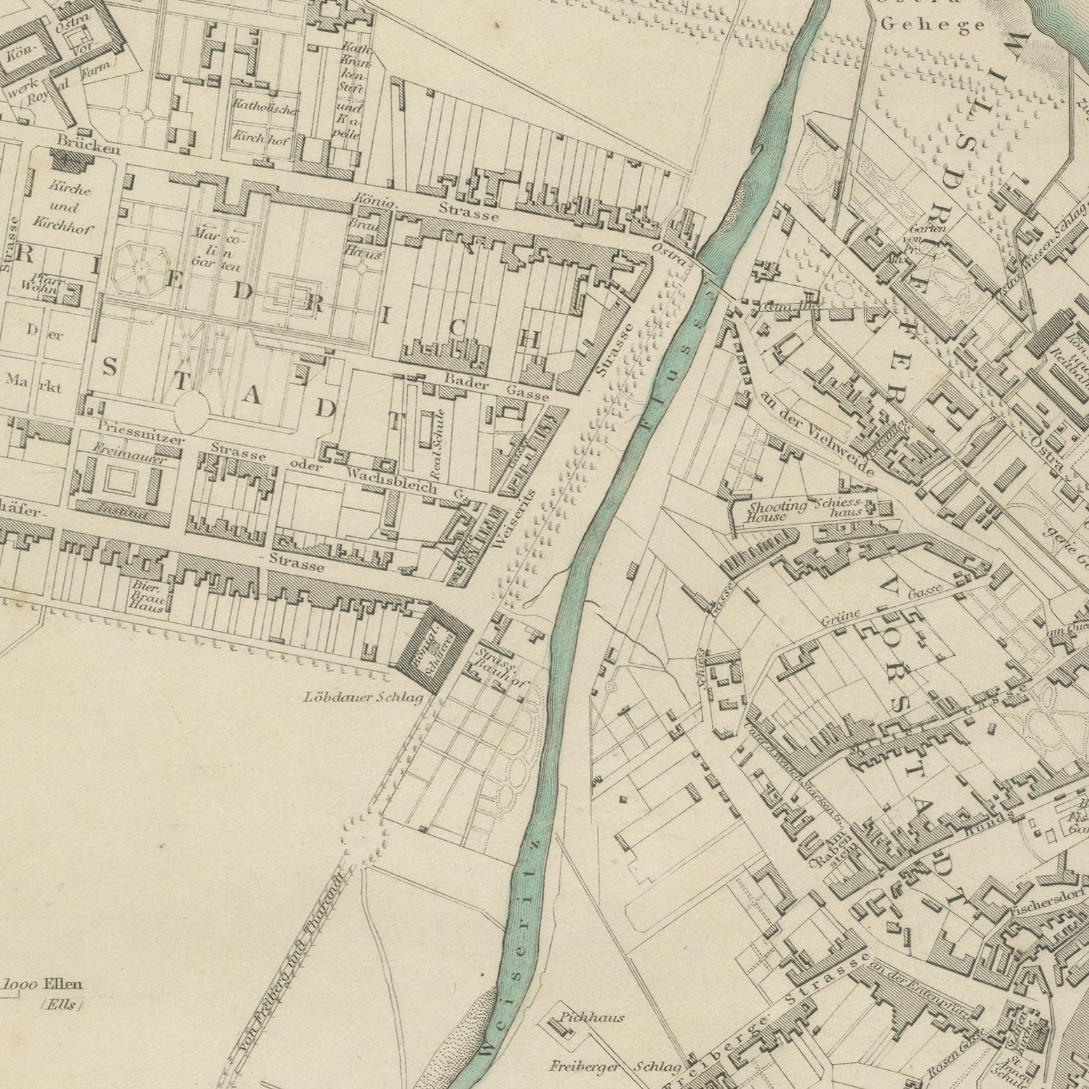
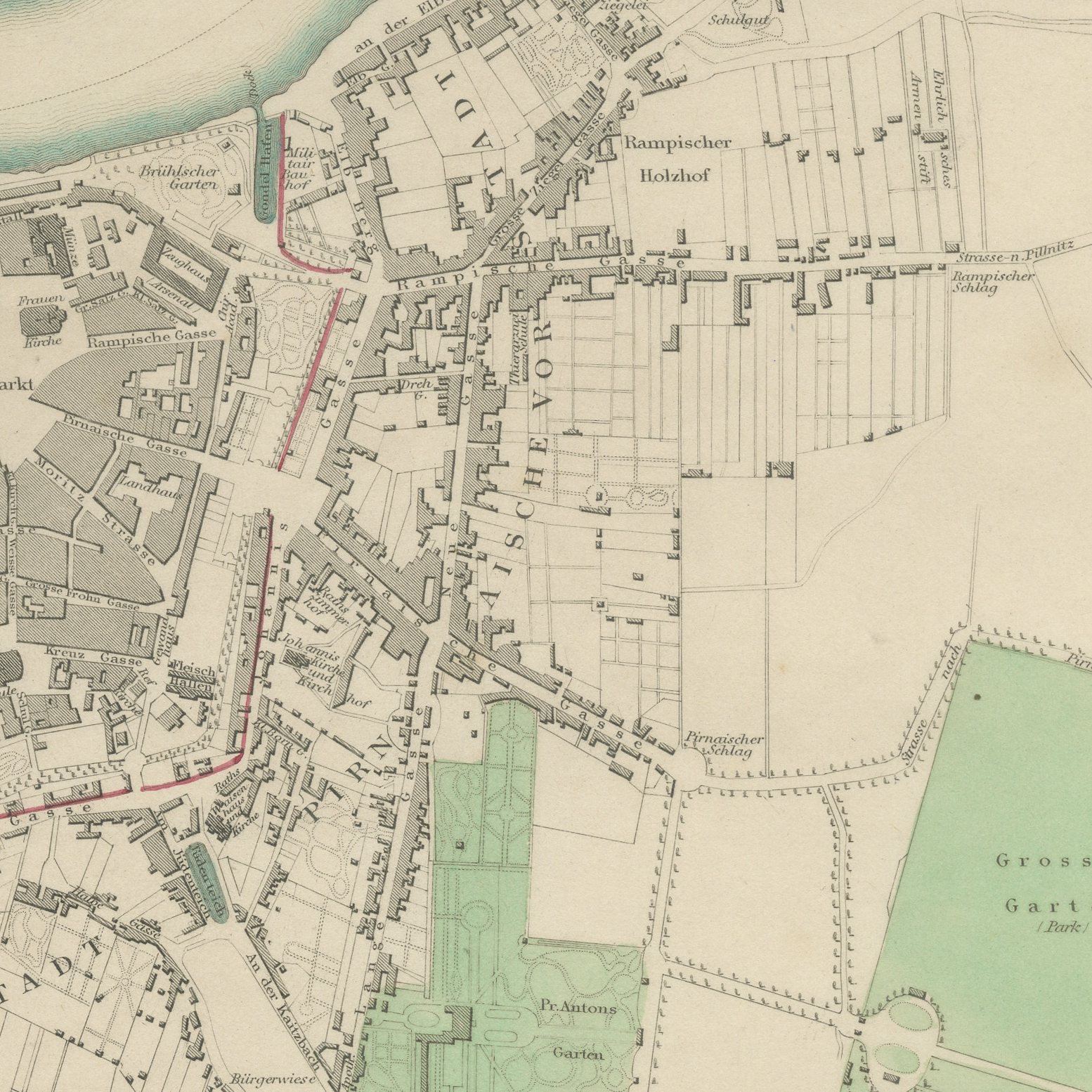
This is an original antique city plan of Dresden, steel engraved and published in the atlas of the Society for the Diffusion of Useful Knowledge. The plan sets the old town on the south bank with the Zwinger, the Catholic Court Church and the Frauenkirche, joined by the Augustus Bridge to the Neustadt on the north bank, with the Grosser Garten and the ramparts at the edges. Elevations at the foot compare the Zwinger Palace, the Japanese Palace, the Catholic Church, the Church of Our Lady and the Elbe Bridge. The outline and water coloring is original hand color, applied by the publisher before the sheet was bound into the volume.
The sheet is plate number 173 in the third volume of the Society's atlas, Plans of Cities, Stars and Index to Places, published in London by Charles Knight at 22 Ludgate Street in 1847. The Society issued its maps in parts from 1829 onward, and this collected edition was lettered as a new edition corrected to the present time, which is why individual plates still carry their own earlier dates. The plate is lettered as drawn by W. B. Clarke.
Dresden was called the Florence on the Elbe for exactly the buildings this sheet lays out in elevation, almost all of which were destroyed in 1945 and rebuilt afterwards. That gives the plan a documentary weight beyond its decorative value, and it is often bought by visitors who want the city as it stood. Framed simply in dark wood or a plain gilt frame it suits a study, a hallway or a dining room, and it is a natural gift for anyone with a tie to the place.
Light uneven toning, browner toward the edges. Handling soiling along the bottom, left and right edges. A few small foxing spots in the margin. All four corners complete.
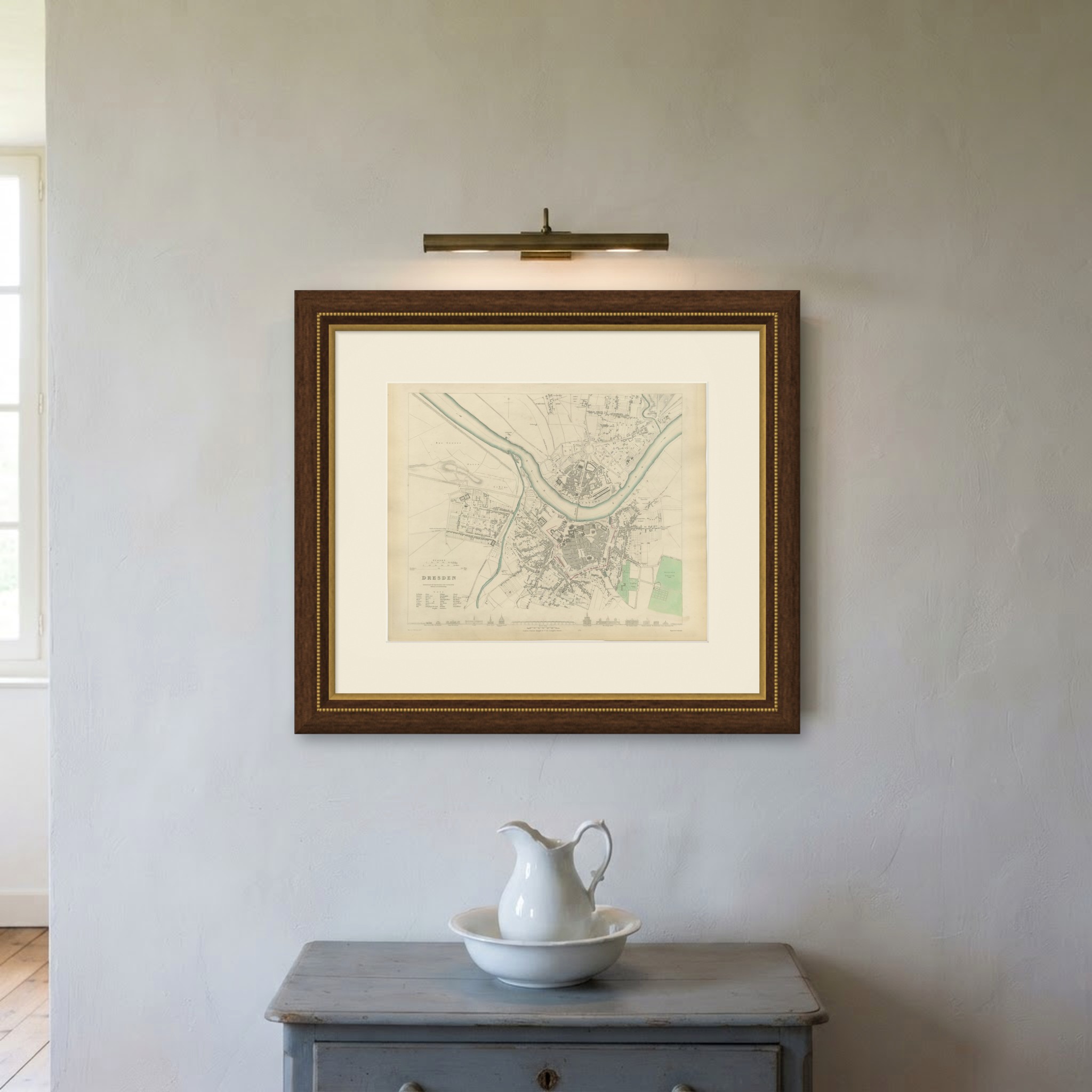
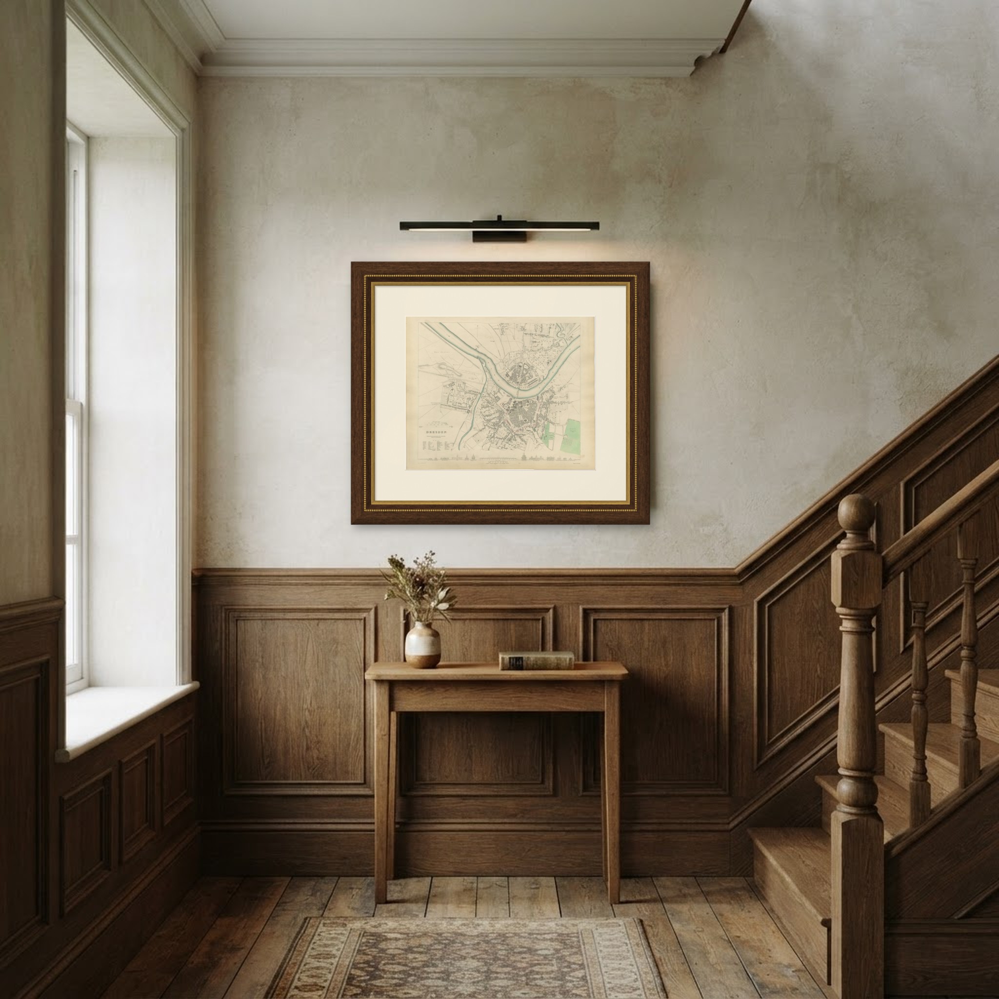
This is an original antique map, not a modern reproduction. This item is sold unframed. Any framed or interior images are shown for presentation and inspiration only, unless the listing explicitly states that the item is sold framed.