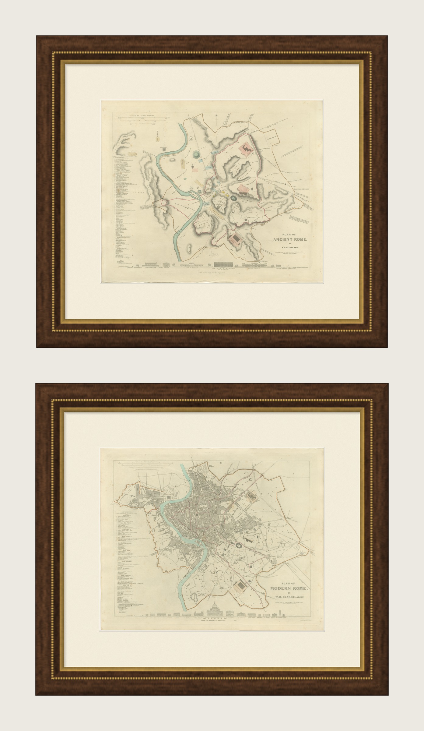
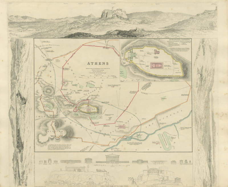
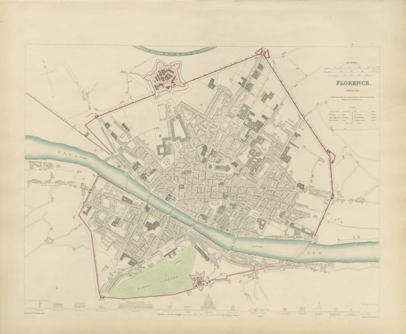
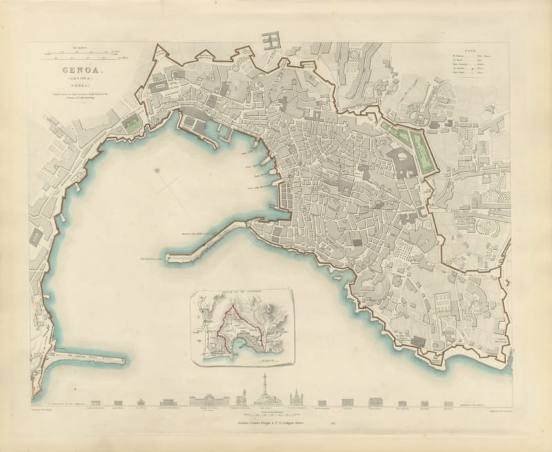
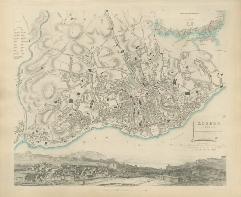
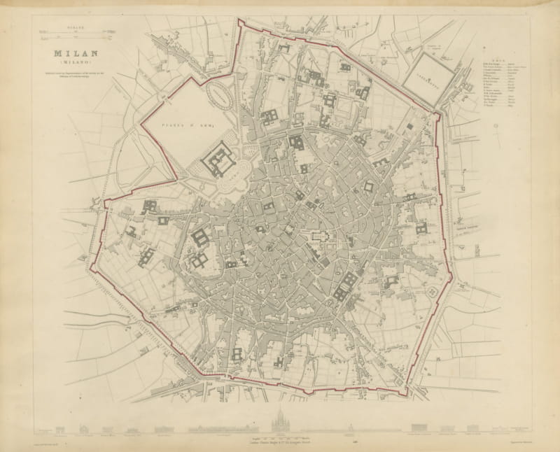
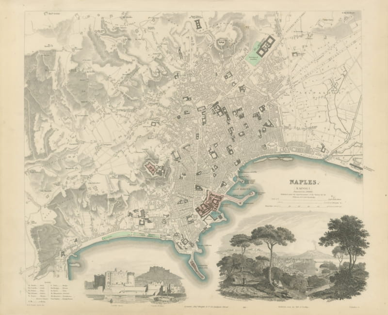
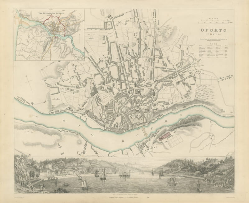
Antique Plans of Ancient and Modern Rome by W. B. Clarke, 1847
US$1,429
Original antique · The actual sheet photographed · Certificate of authenticity on request · Sold unframed · Worldwide shipping from € 15 (rates)
Date
1847
Mapmaker / artist
Society for the Diffusion of Useful Knowledge
Publisher
Charles Knight and Co., 22 Ludgate Street, London
Technique
Steel Engraving
Coloring
Original hand color
Sheet size
35 × 43 cm (13.8 × 16.9 in)
Condition
Good
Reference
BG-14487-1-39
What the condition grades mean
Excellent
Bright and clean, with no faults worth mentioning.
Very good
Only light signs of age, such as faint toning.
Good
Normal signs of age for a sheet of this period: toning, some foxing, small marks or neat old repairs.
Fair
Clear faults such as staining, tears or repairs, priced to match.
Every fault we see is written in the condition note, and the whole sheet is shown uncropped in the photos.
Condition
Light uneven toning, browner toward the edges. Handling soiling along the edges of both sheets. Light foxing in the margins of both sheets. All corners complete on every sheet.
About this sheet
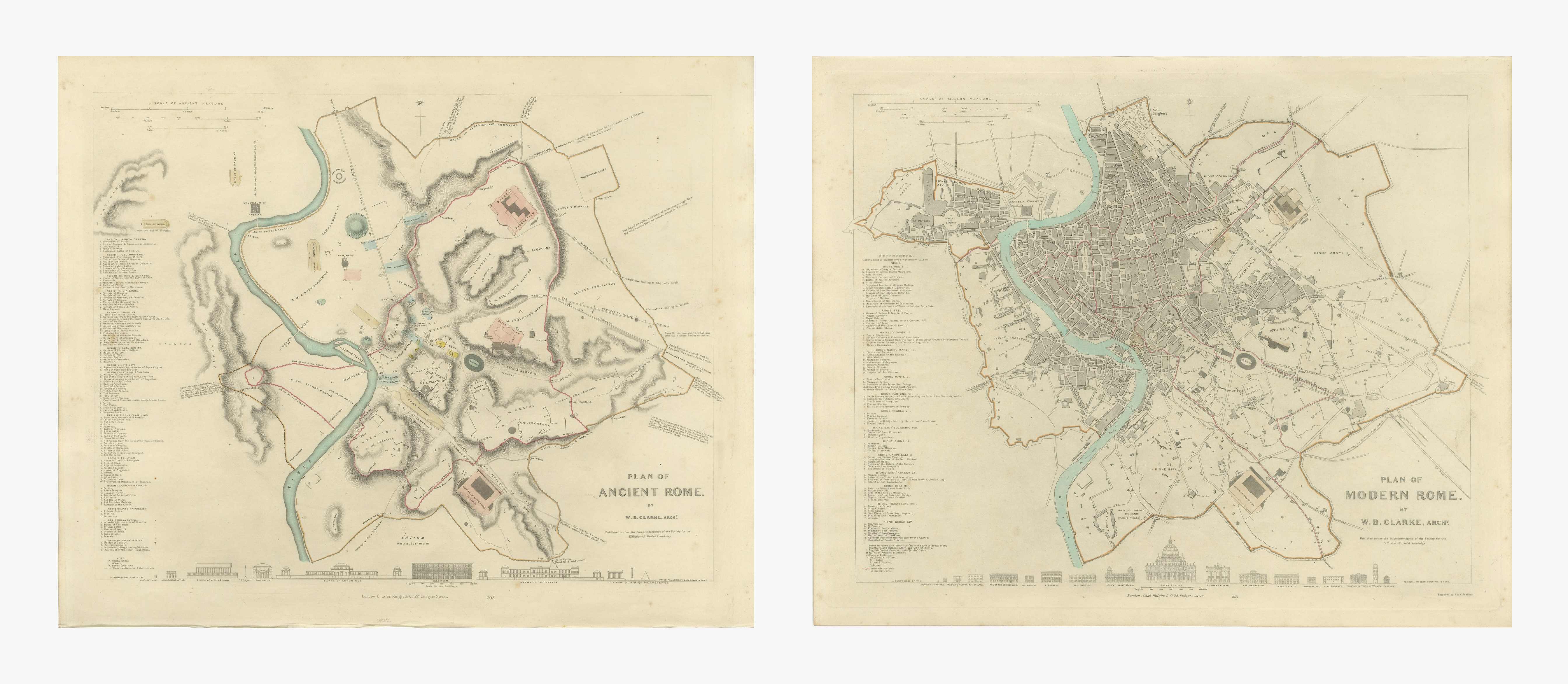
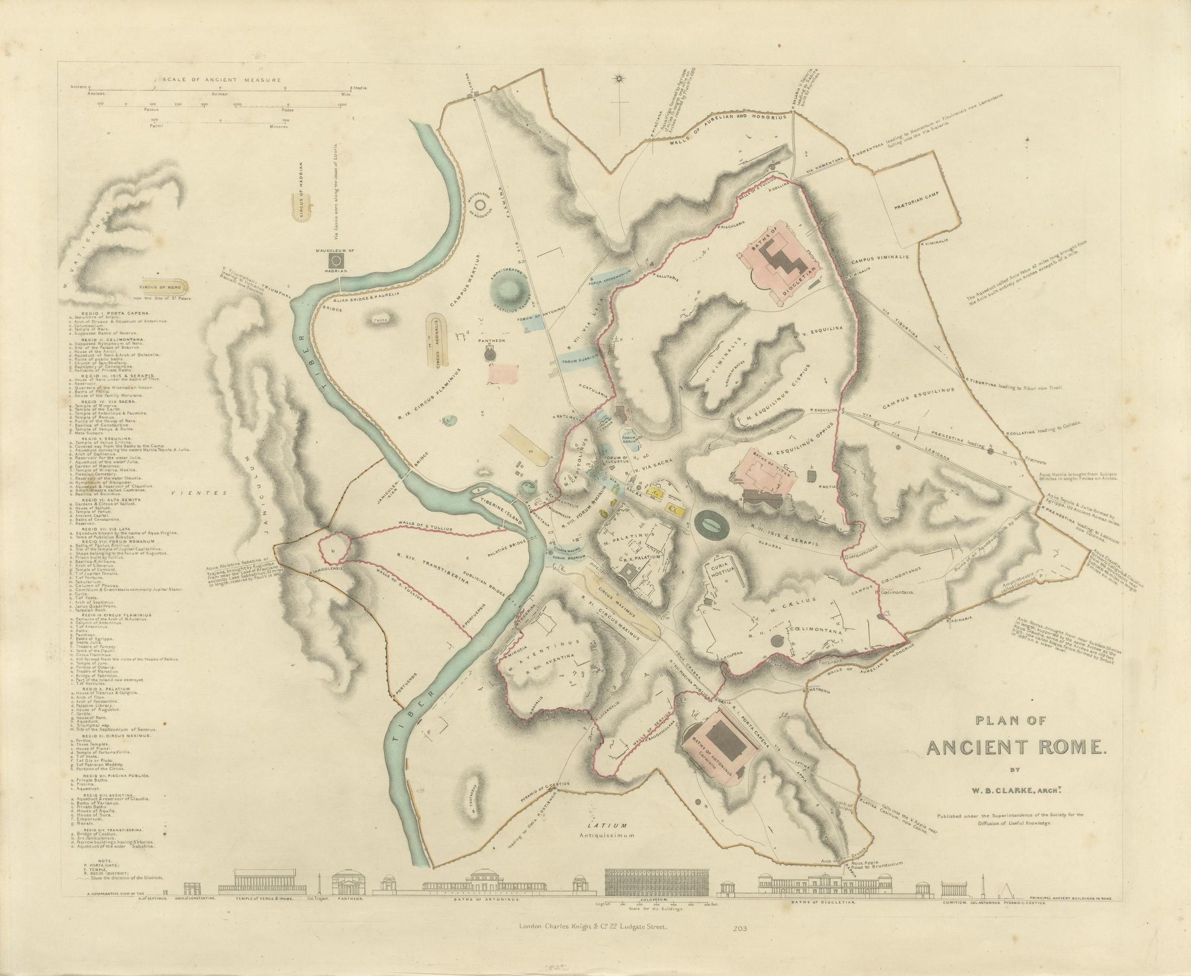
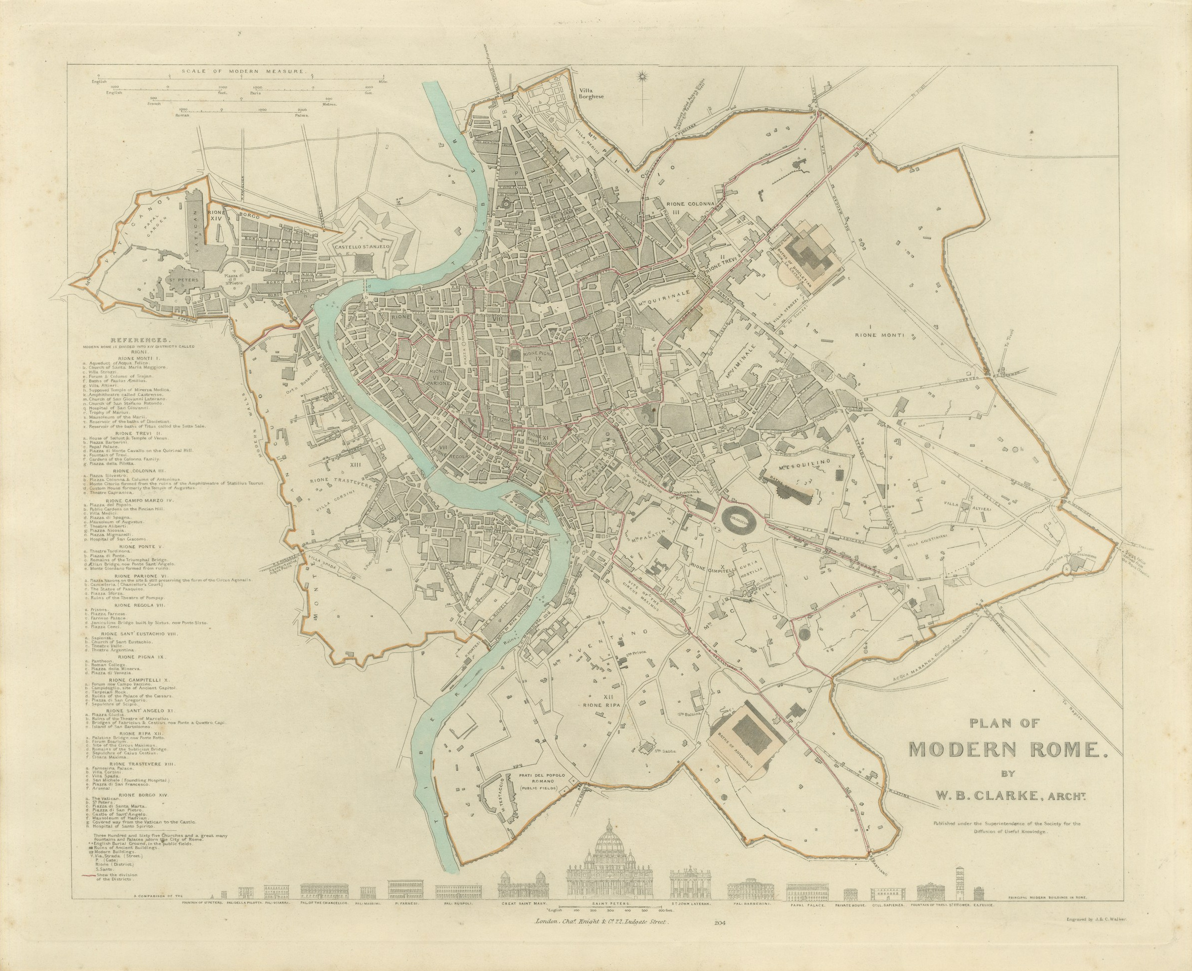
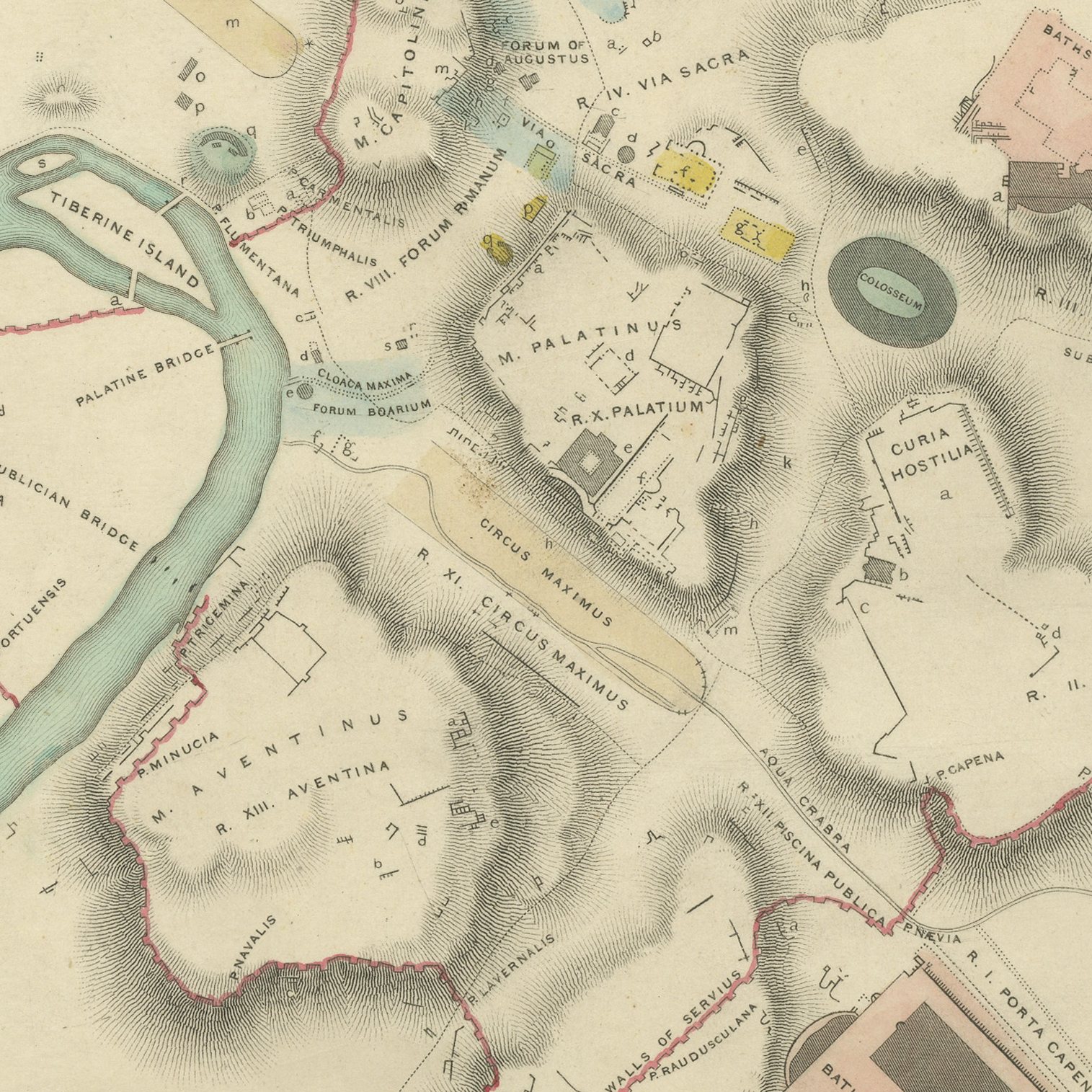
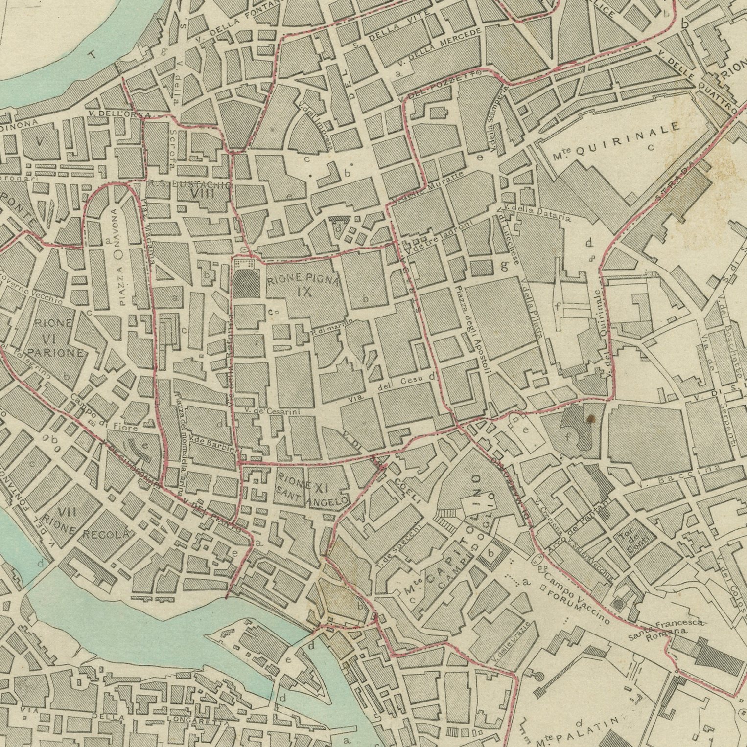
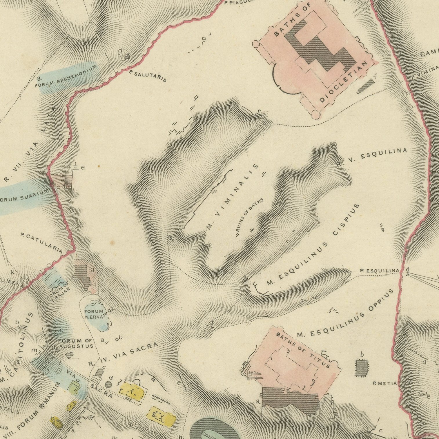
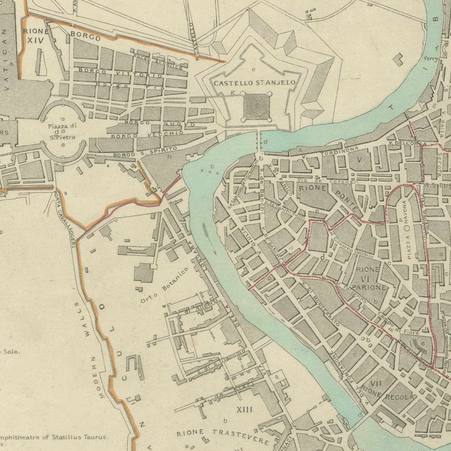
This is a set of two original sheets sold together, two antique maps steel engraved and published in the atlas of the Society for the Diffusion of Useful Knowledge. The Society issued Rome as a deliberate pair, both drawn by the architect W. B. Clarke and both signed by him on the plate. The plan of ancient Rome maps the fourteen Augustan regions with the Tiber, the walls of Servius Tullius and of Aurelian, the circuses, the baths of Diocletian and Antoninus, the aqueducts traced out to the hills, and a long keyed list of the monuments of each region down the left margin. The plan of modern Rome maps the fourteen rioni of the papal city, with Saint Peter's and the Vatican, the Castello Sant'Angelo, the Villa Borghese and the Pincio, and its own keyed reference. Each sheet carries a comparative band of building elevations, one ancient and one modern.
The sheets are plates 203 and 204 of the third volume of the Society's atlas, Plans of Cities, Stars and Index to Places, published in London by Charles Knight at 22 Ludgate Street in 1847 and lettered as a new edition corrected to the present time. The sheets are lettered as drawn by W. B. Clarke, architect and drawn by W. B. Clarke, architect, and engraved by J. and C. Walker. The outline and water coloring is original hand color, applied by the publisher before the sheets were bound into the volume.
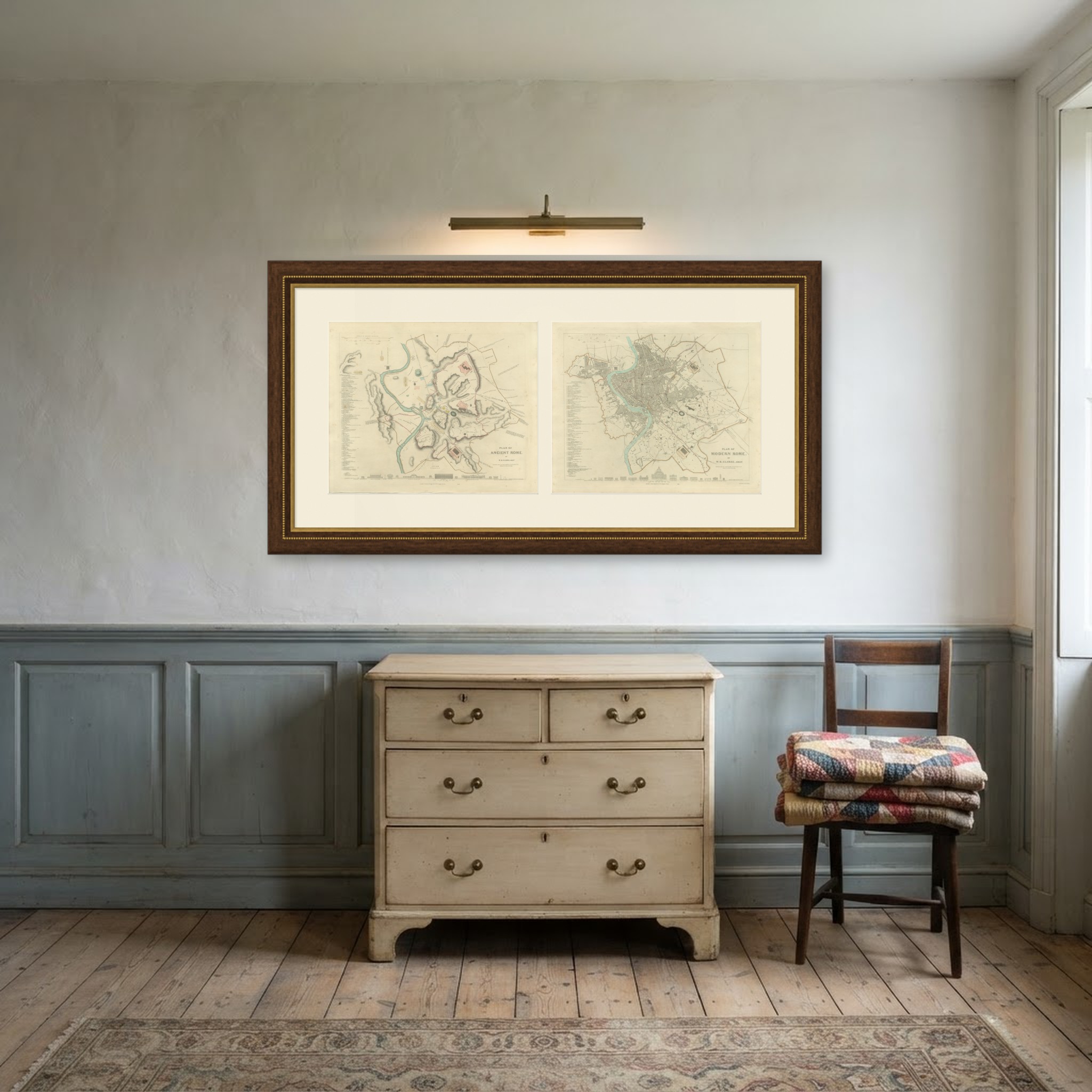
Laid side by side the two plans do something neither does alone: they let the eye move between the imperial city and the papal one and see exactly where the Colosseum, the Pantheon and the Forum sit inside the later streets. That comparison is the whole idea behind the pair, and it is why they were drawn to the same size by the same hand. Framed together they are a classic study wall for anyone who loves Rome.
Light uneven toning, browner toward the edges. Handling soiling along the edges of both sheets. Light foxing in the margins of both sheets. All corners complete on every sheet.
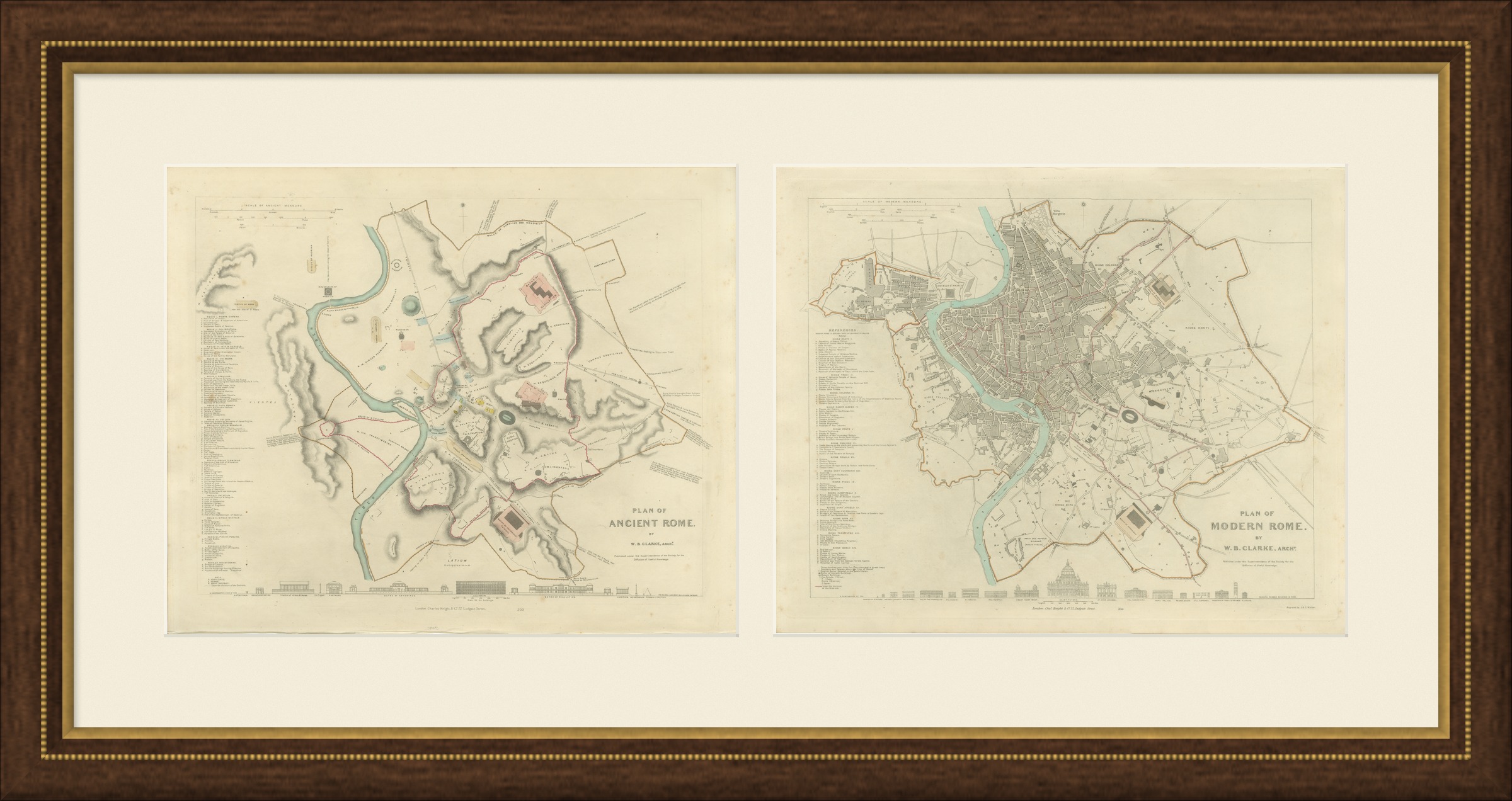
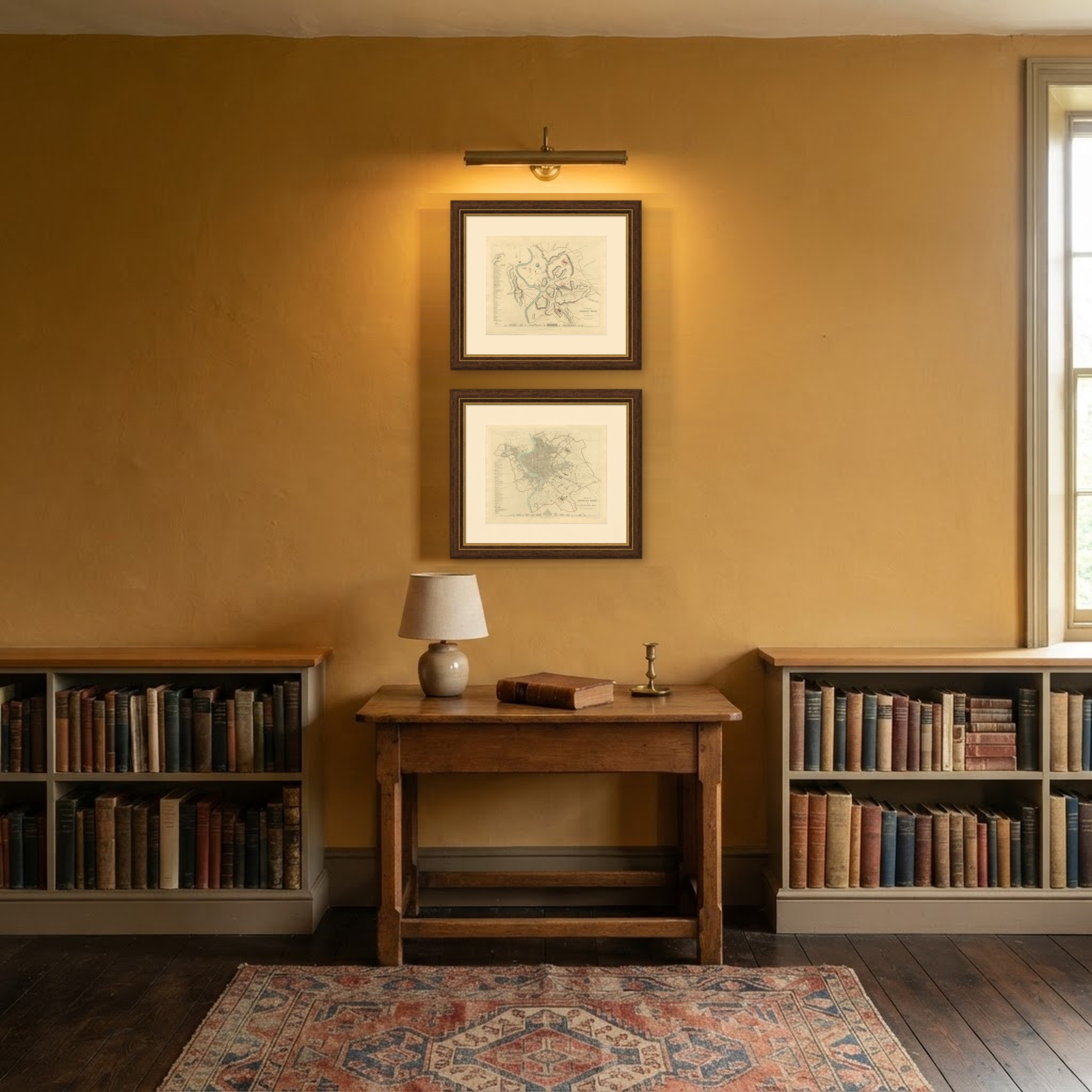
These are original antique maps, not modern reproductions. This item is sold unframed. Any framed or interior images are shown for presentation and inspiration only, unless the listing explicitly states that the item is sold framed.