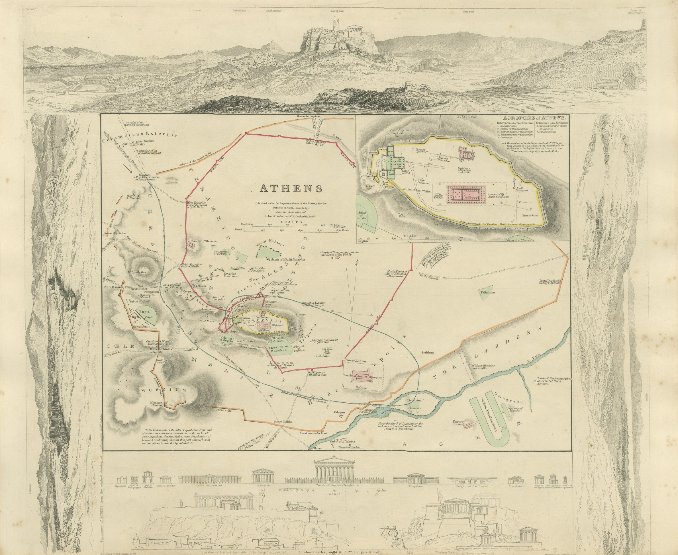
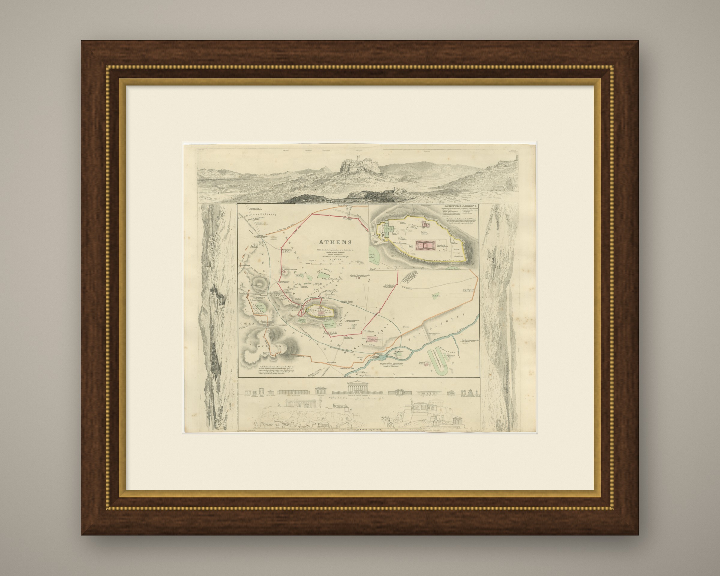
Antique Plan of Athens with Acropolis Inset and Panorama, 1847
US$776
Original antique · The actual sheet photographed · Certificate of authenticity on request · Sold unframed · Worldwide shipping from € 15 (rates)
Date
1847
Mapmaker / artist
Society for the Diffusion of Useful Knowledge
Publisher
Charles Knight and Co., 22 Ludgate Street, London
Technique
Steel Engraving
Coloring
Original hand color
Sheet size
35 × 43 cm (13.8 × 16.9 in)
Condition
Good
Reference
BG-14487-1-3
What the condition grades mean
Excellent
Bright and clean, with no faults worth mentioning.
Very good
Only light signs of age, such as faint toning.
Good
Normal signs of age for a sheet of this period: toning, some foxing, small marks or neat old repairs.
Fair
Clear faults such as staining, tears or repairs, priced to match.
Every fault we see is written in the condition note, and the whole sheet is shown uncropped in the photos.
Condition
Light uneven toning, browner toward the edges. Marked handling soiling along the bottom and top edges. Scattered light foxing in the margin. All four corners complete.
About this sheet
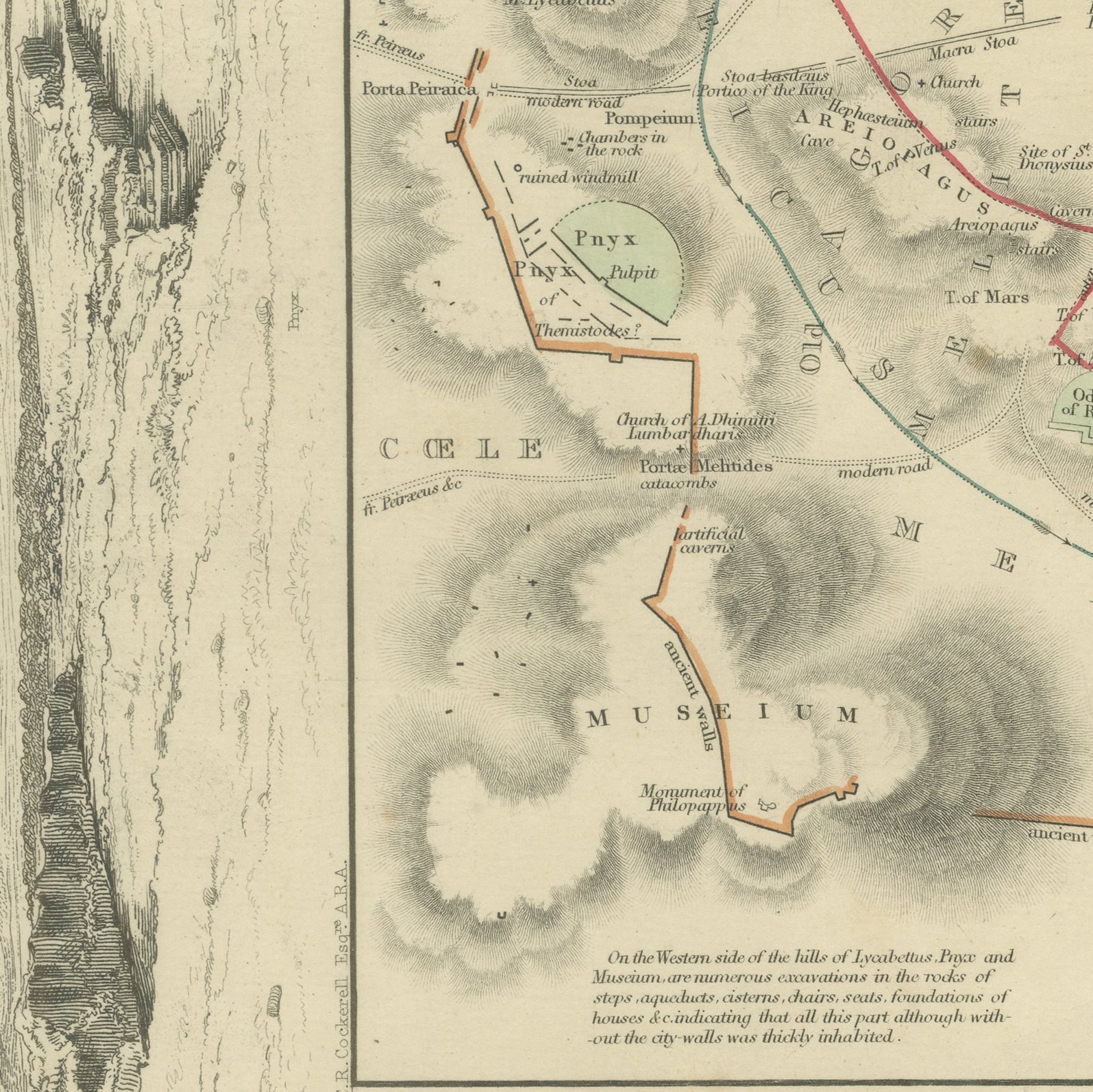
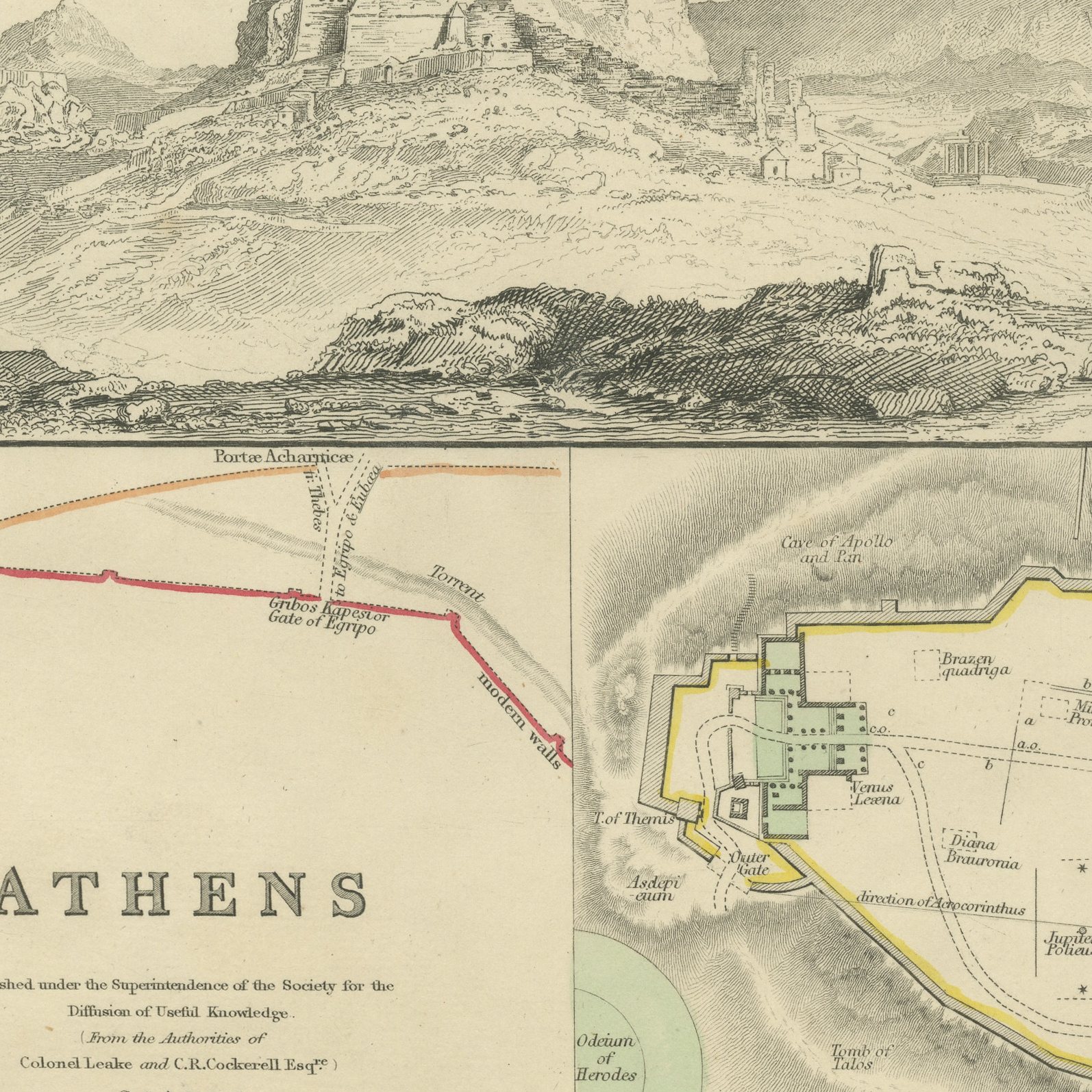
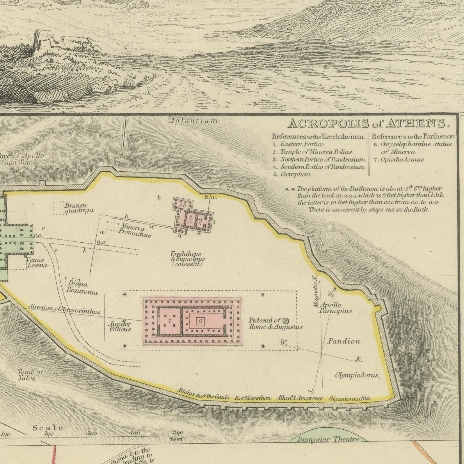
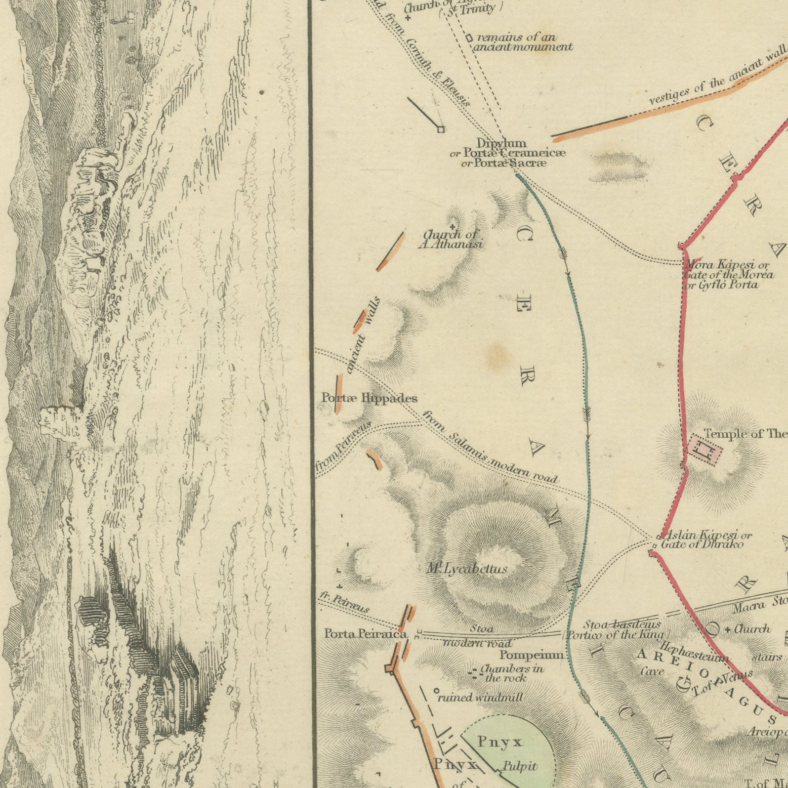
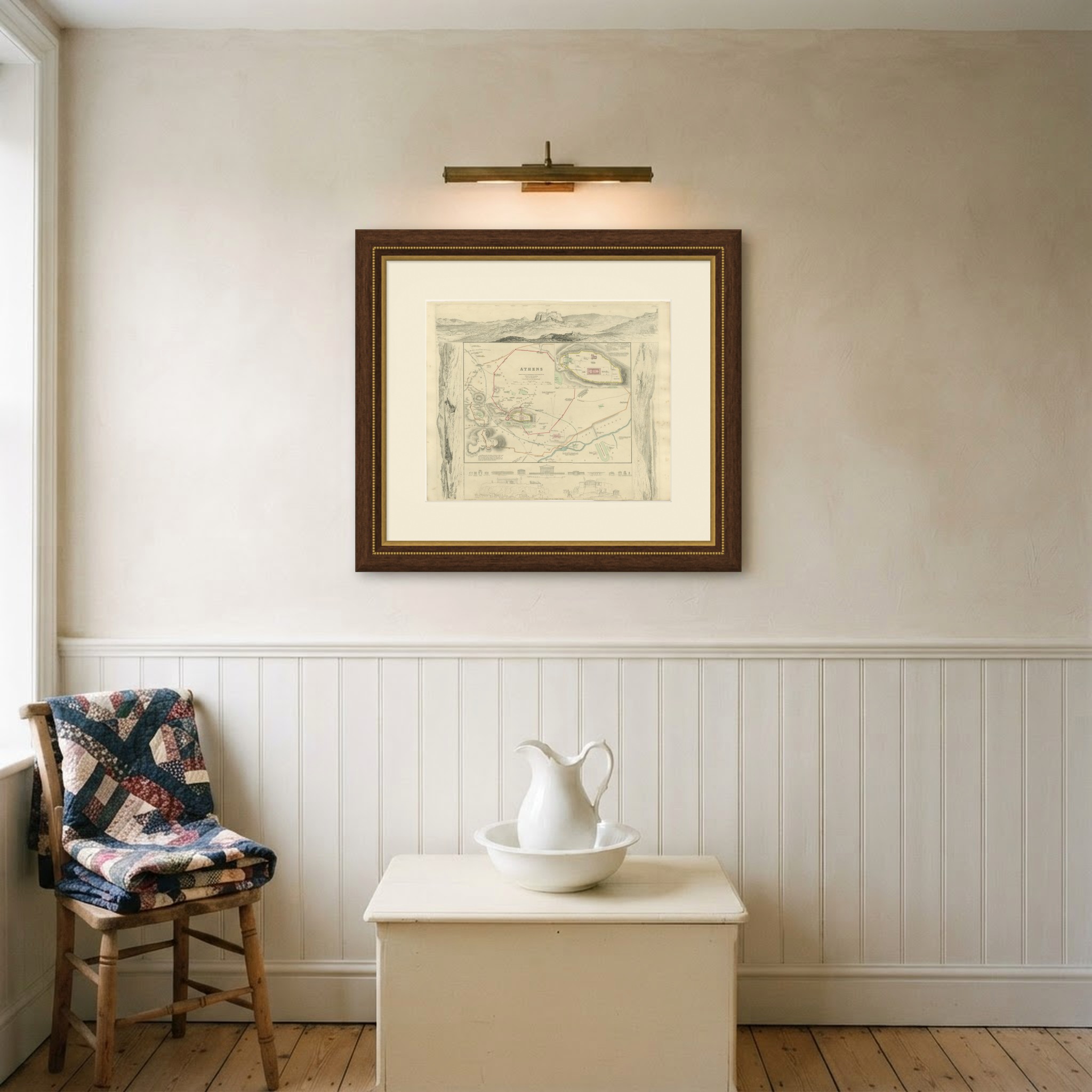
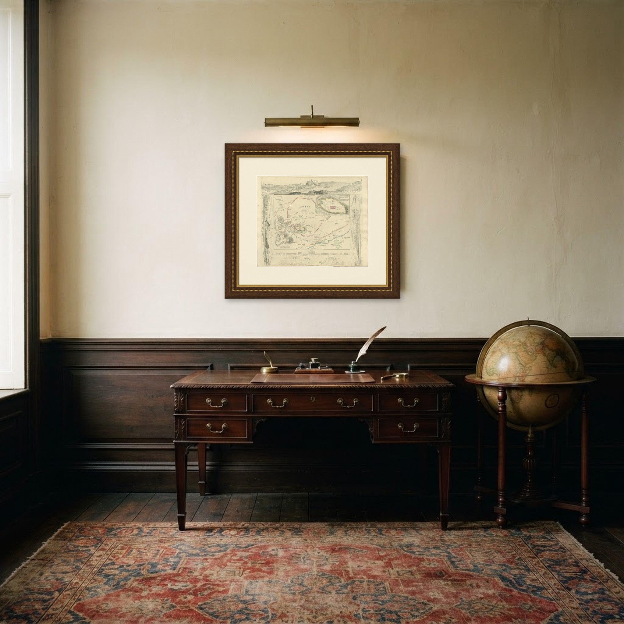
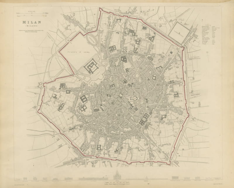
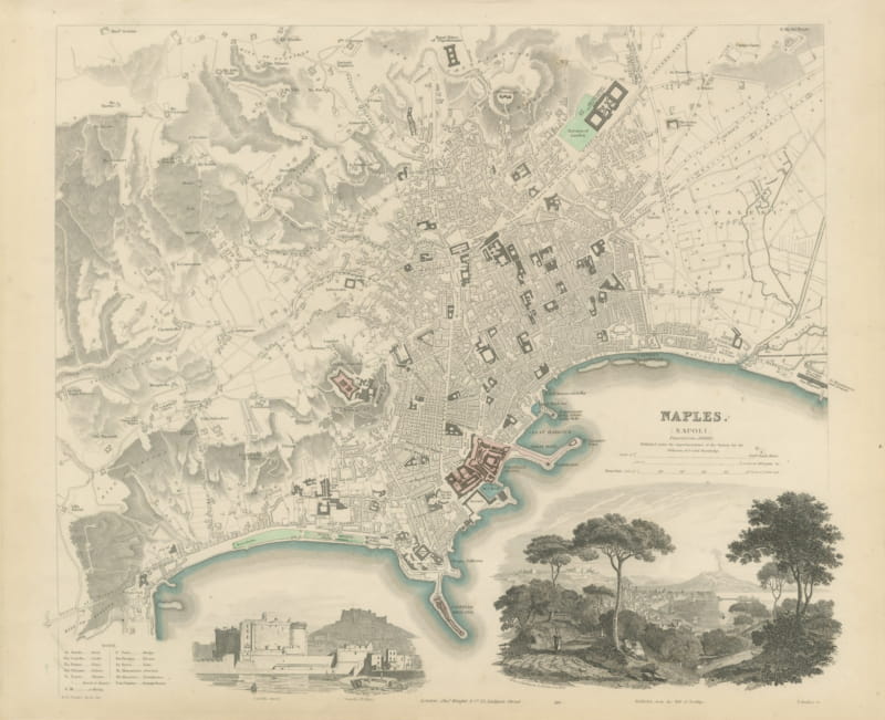
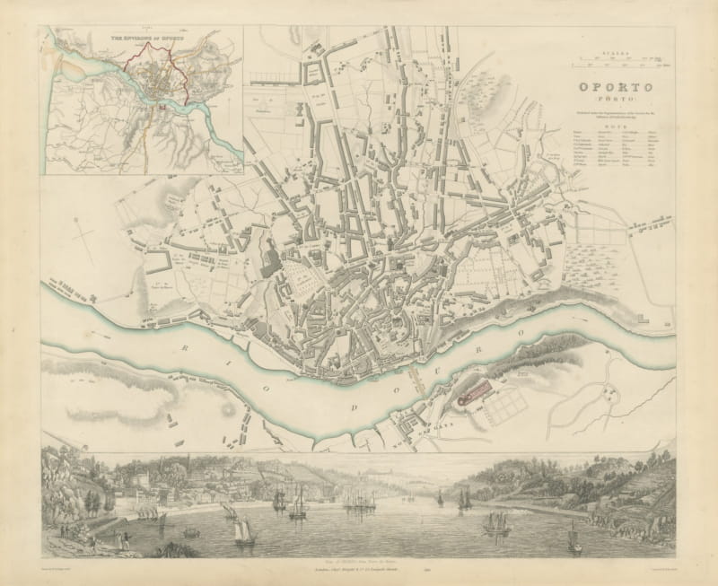
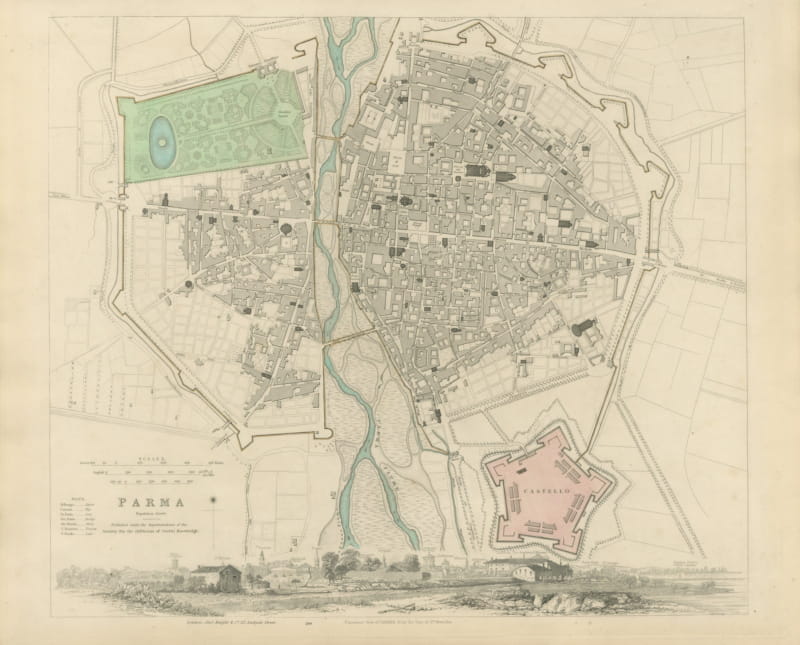
This is an original antique city plan of Athens, steel engraved and published in the atlas of the Society for the Diffusion of Useful Knowledge. The plan sets the young capital of the Greek kingdom around the rock of the Acropolis, with the new royal quarter laid out to the north and the ancient sites marked through the old town. A separate inset enlarges the Acropolis itself, a panorama of Athens runs along the top of the sheet, and elevations at the foot compare the Parthenon, the Temple of Jupiter Olympius and other monuments. The lettering credits the authorities of Colonel Leake and Charles Robert Cockerell. The outline and water coloring is original hand color, applied by the publisher before the sheet was bound into the volume.
The Society for the Diffusion of Useful Knowledge published this as plate number 164 of the third volume of its atlas, the cities and stars volume, through Charles Knight at 22 Ludgate Street in London in 1847. The plans were engraved on steel, which allowed far larger print runs than copper and kept the fine detail crisp across the whole edition. The plate is lettered as drawn by W. B. Clarke and engraved by J. Henshall.
This is Athens a little over a decade after it became the capital of an independent Greece, drawn while the classical topography was being recovered street by street. The combination of plan, panorama and measured temple elevations on one sheet makes it one of the most decorative plans in the whole series. Framed simply in dark wood or a plain gilt frame it suits a study, a hallway or a dining room, and it is a natural gift for anyone with a tie to the place.
Light uneven toning, browner toward the edges. Marked handling soiling along the bottom and top edges. Scattered light foxing in the margin. All four corners complete.
This is an original antique map, not a modern reproduction. This item is sold unframed. Any framed or interior images are shown for presentation and inspiration only, unless the listing explicitly states that the item is sold framed.