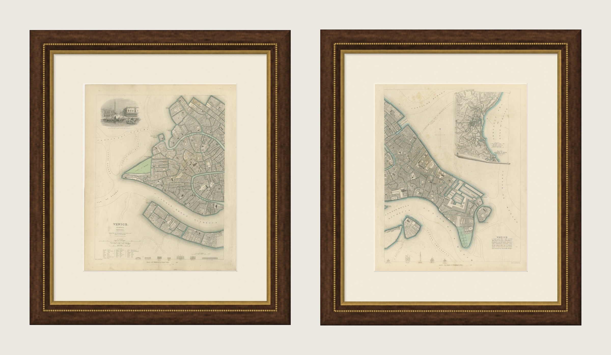
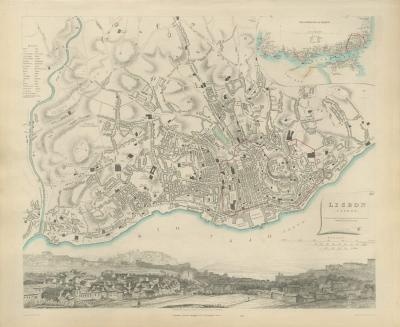
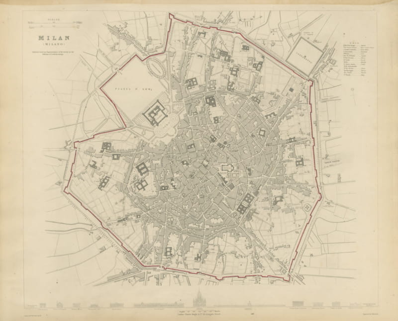
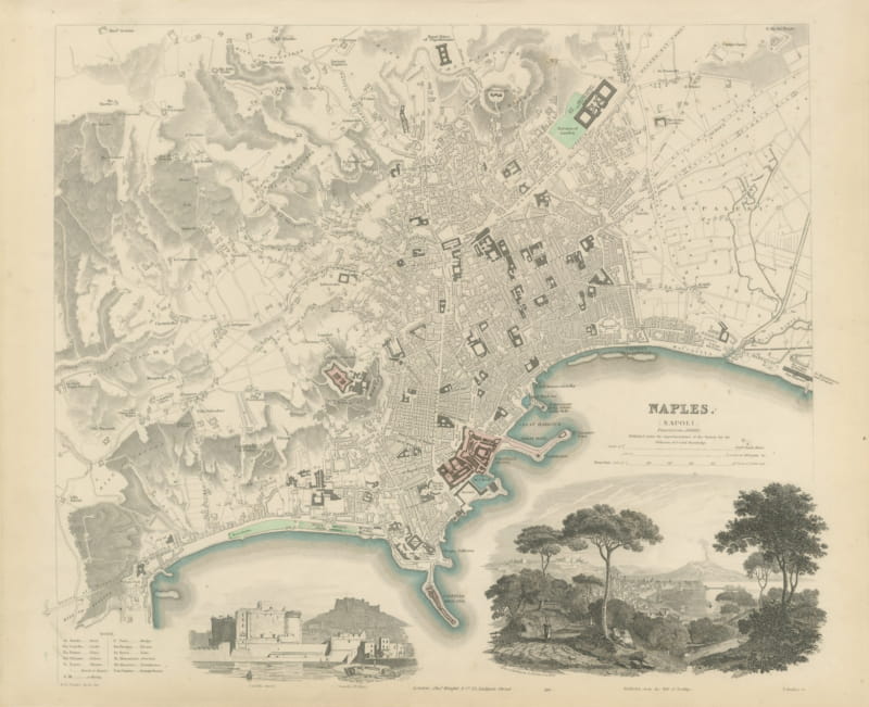
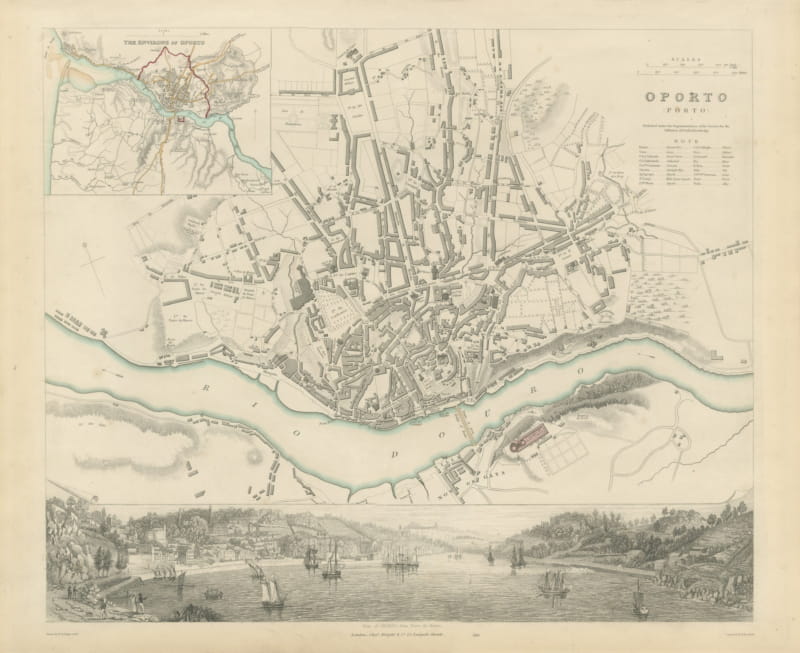
Antique Plan of Venice on Two Sheets with Lagoon Inset, 1847
US$1,385
Original antique · The actual sheet photographed · Certificate of authenticity on request · Sold unframed · Worldwide shipping from € 15 (rates)
Date
1847
Mapmaker / artist
Society for the Diffusion of Useful Knowledge
Publisher
Charles Knight and Co., 22 Ludgate Street, London
Technique
Steel Engraving
Coloring
Original hand color
Sheet size
43 × 35 cm (16.9 × 13.8 in)
Condition
Good
Reference
BG-14487-1-45
What the condition grades mean
Excellent
Bright and clean, with no faults worth mentioning.
Very good
Only light signs of age, such as faint toning.
Good
Normal signs of age for a sheet of this period: toning, some foxing, small marks or neat old repairs.
Fair
Clear faults such as staining, tears or repairs, priced to match.
Every fault we see is written in the condition note, and the whole sheet is shown uncropped in the photos.
Condition
Light uneven toning, browner toward the edges. Handling soiling along the edges of both sheets. Scattered foxing in the margins of both sheets. All corners complete on every sheet.
About this sheet
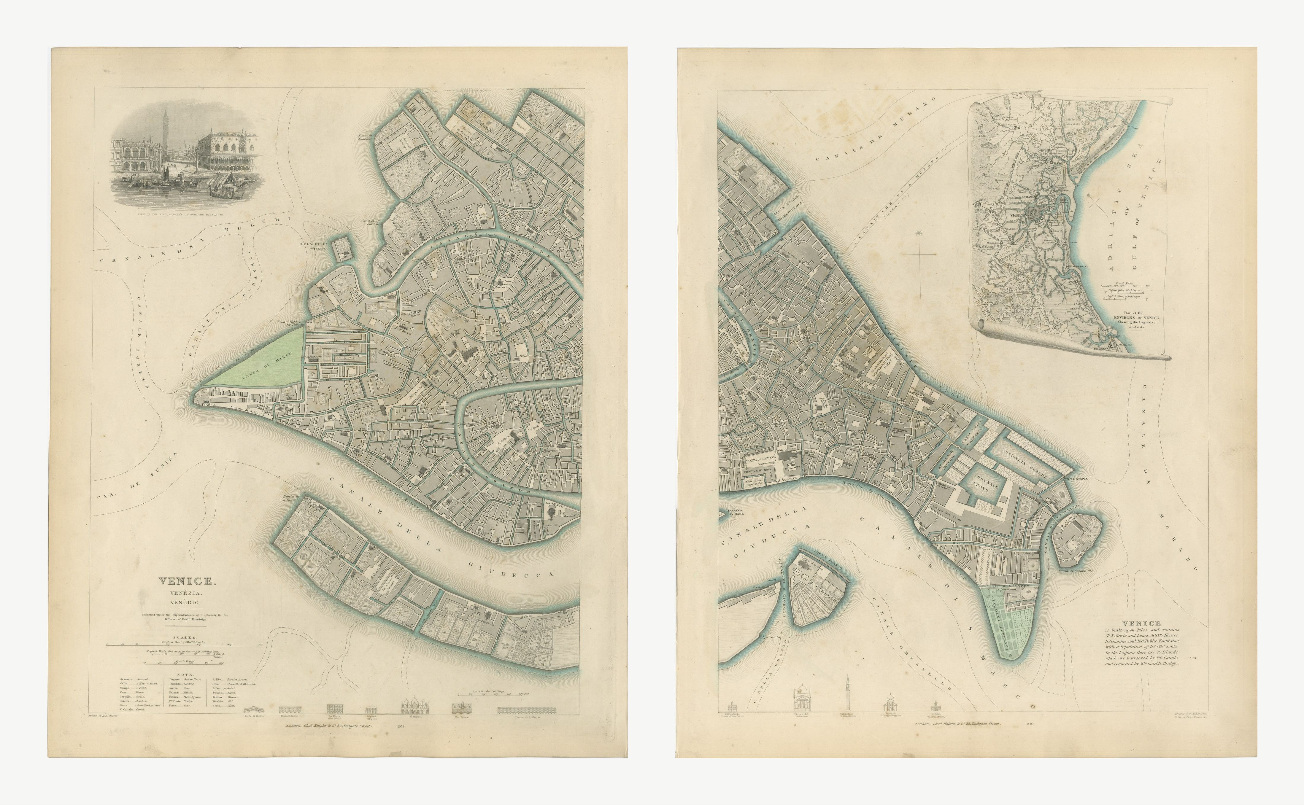
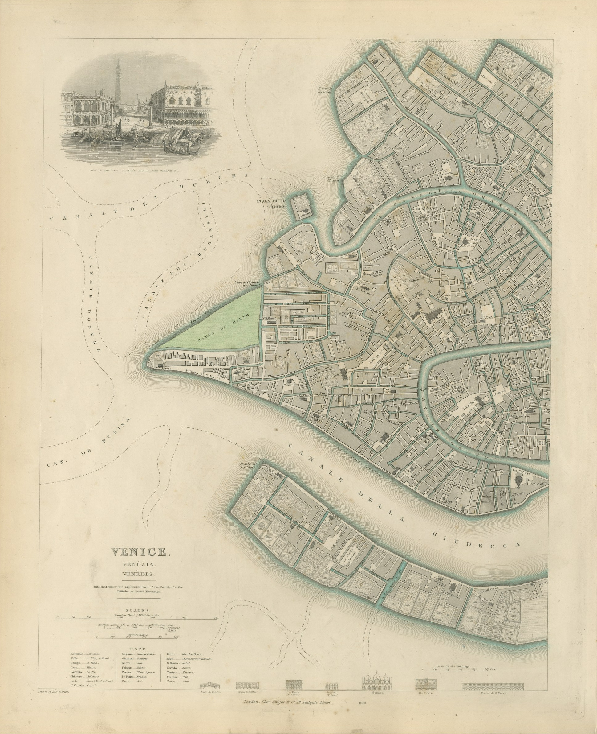
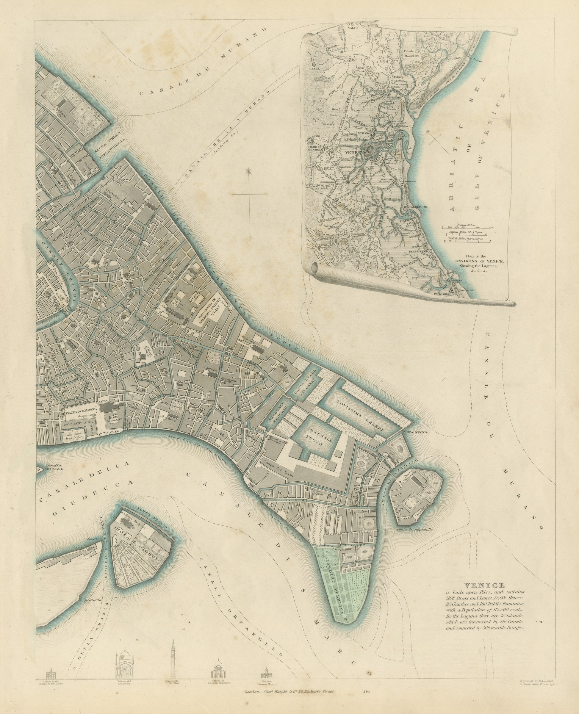
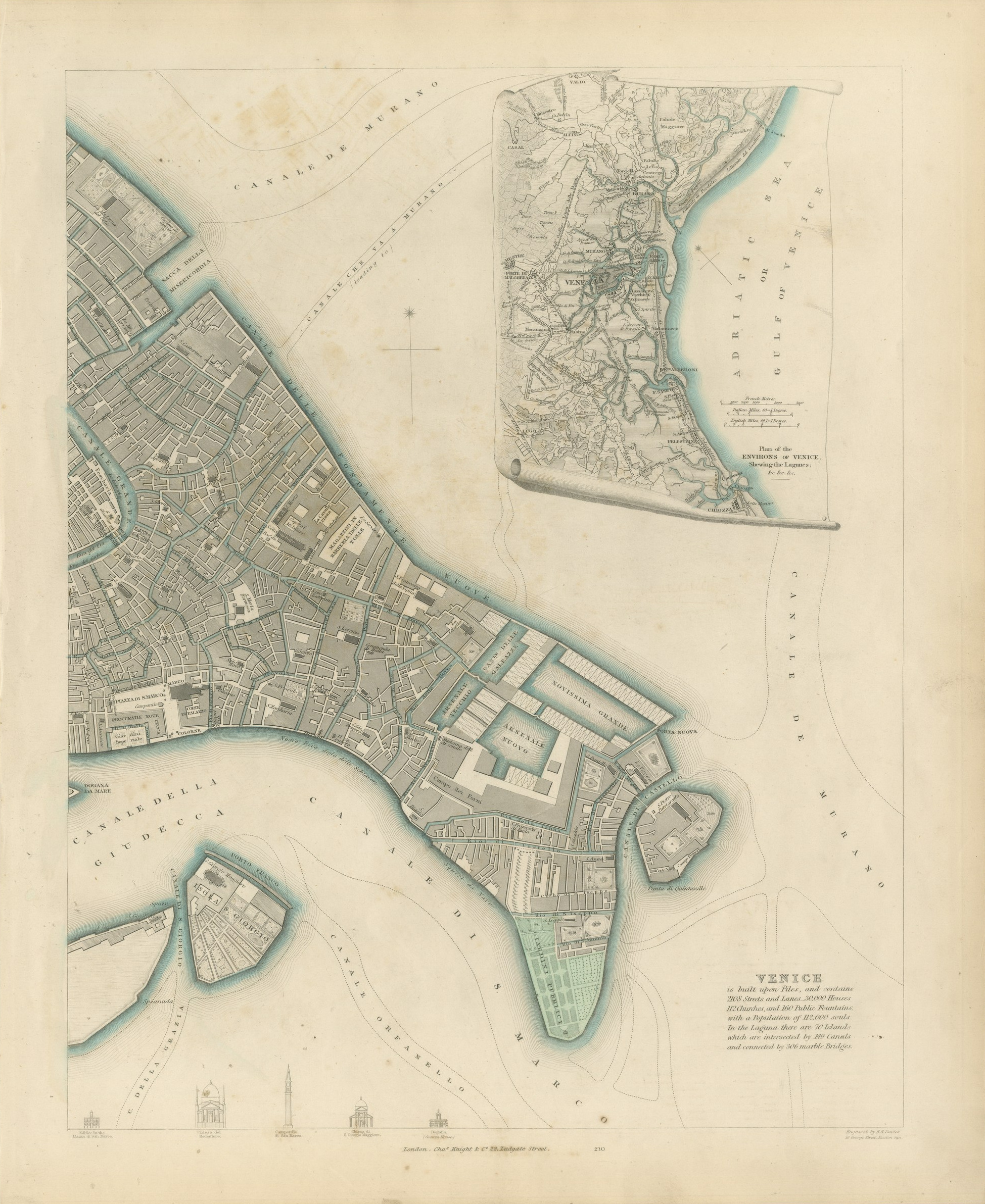
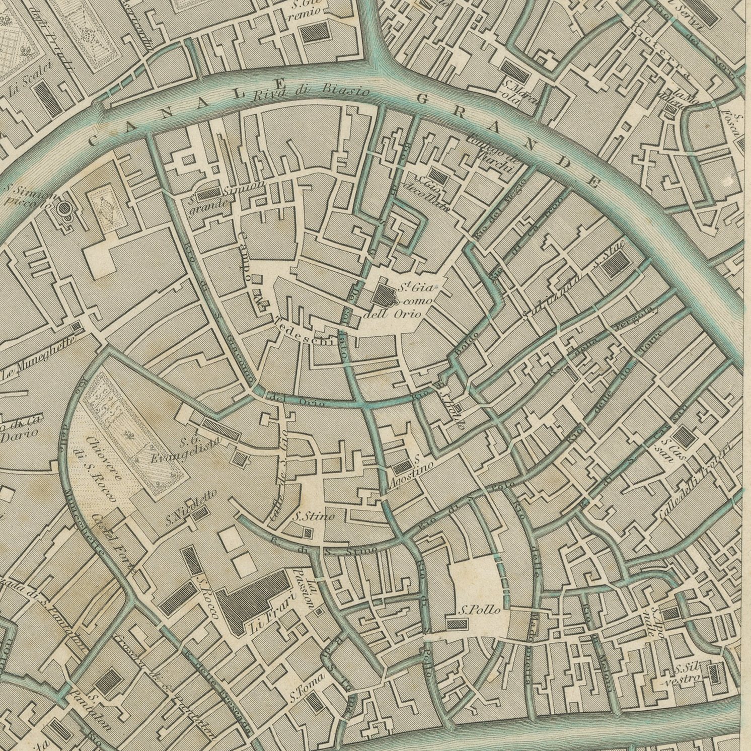
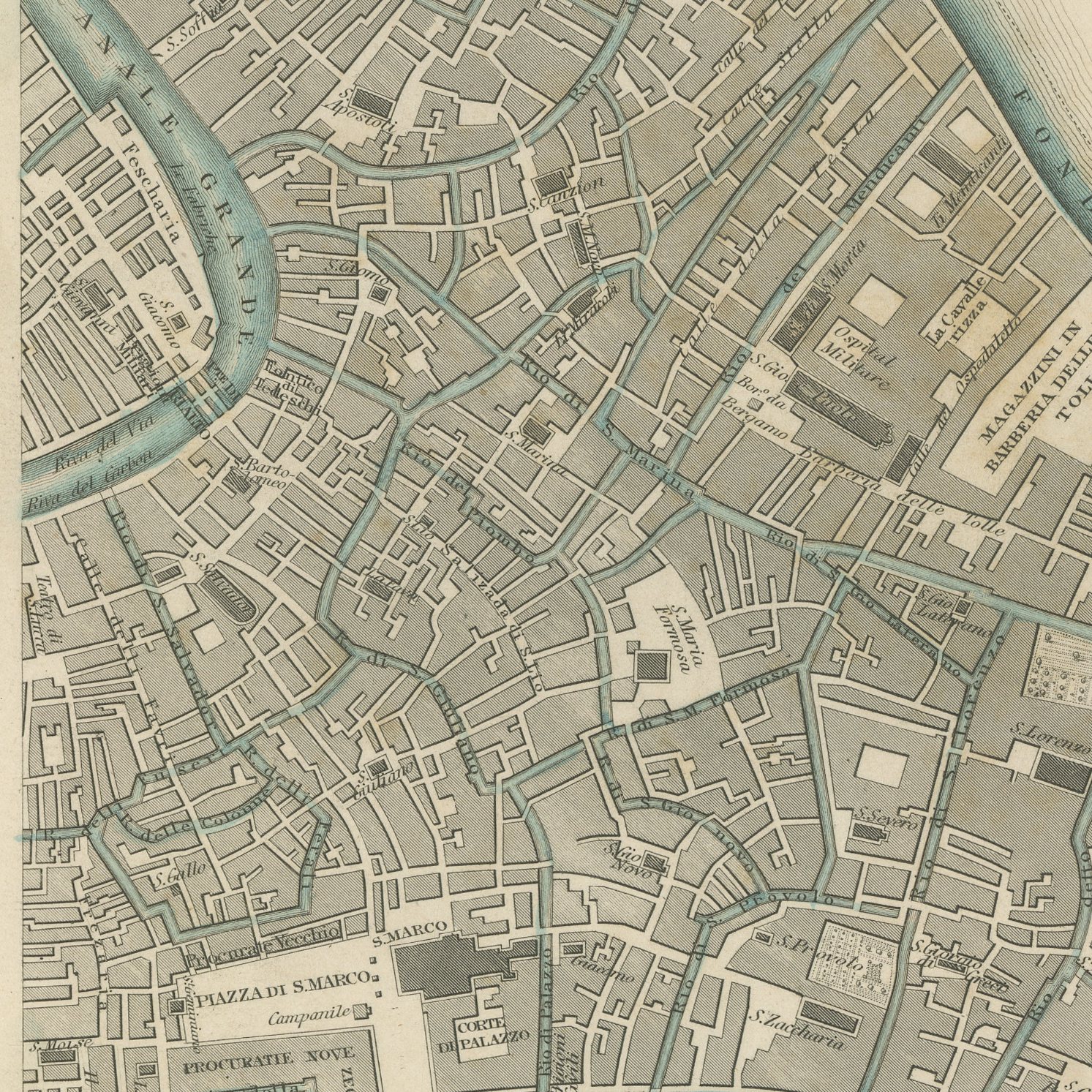
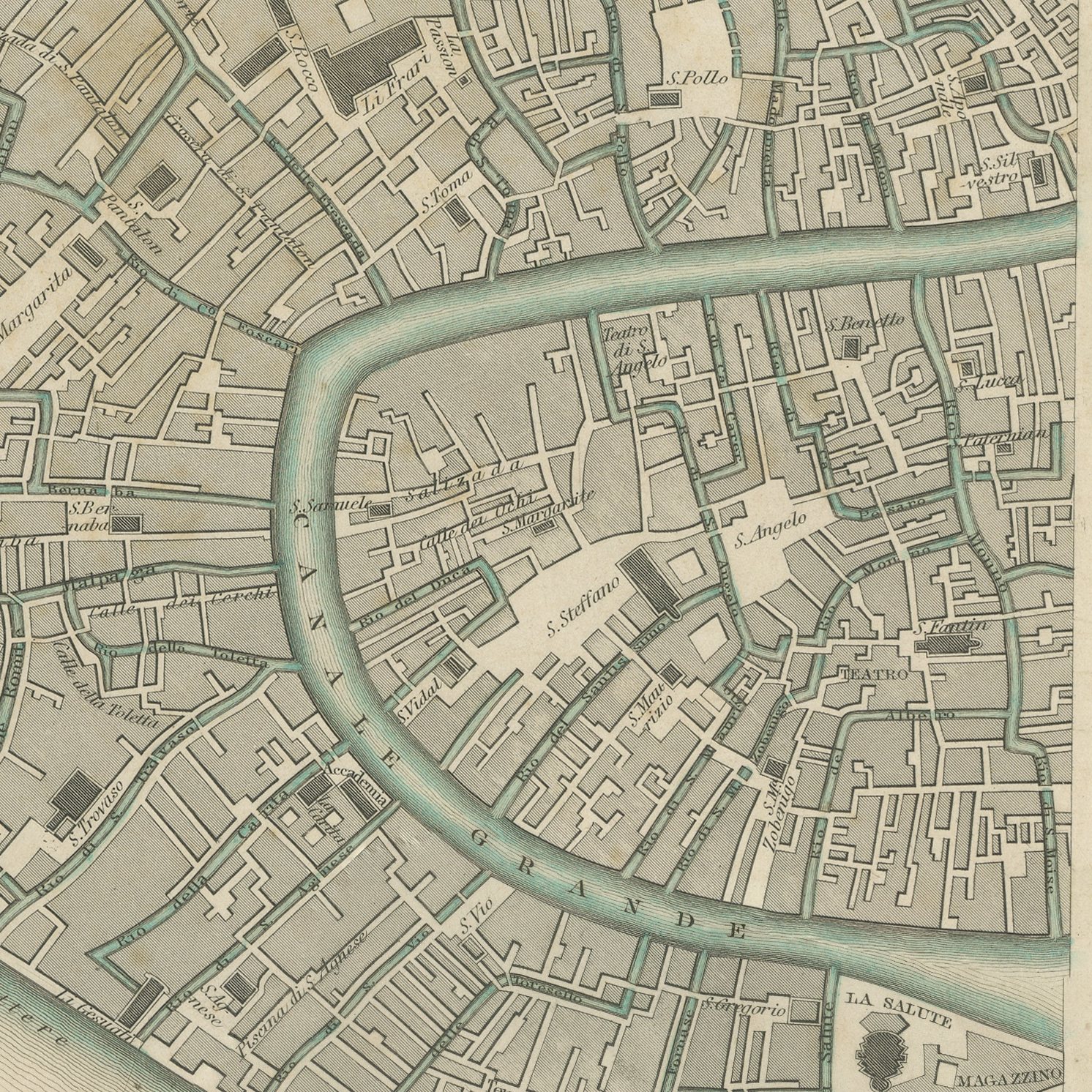
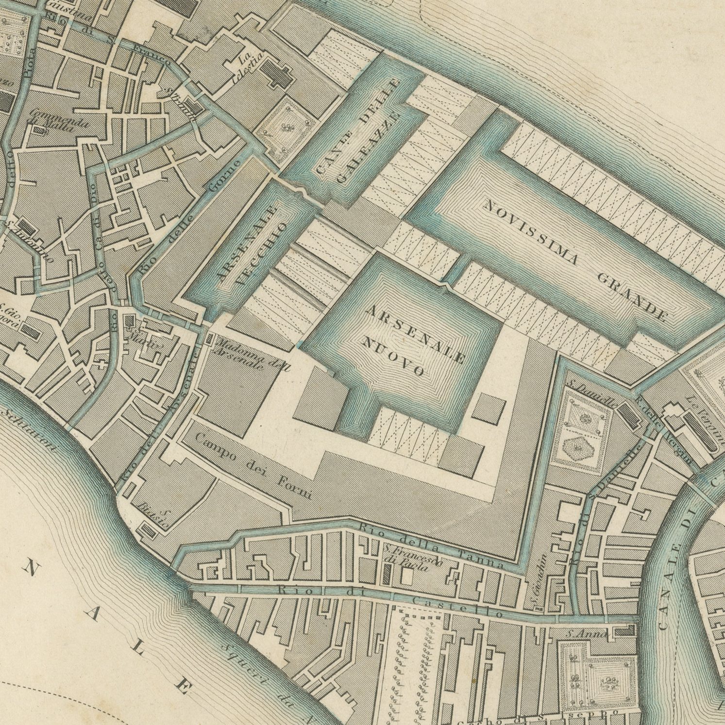
This is a set of two original sheets sold together, two antique maps steel engraved and published in the atlas of the Society for the Diffusion of Useful Knowledge. Venice was issued by the Society on two plates that join down the middle of the city, and both are here. The western sheet carries the Grand Canal from the Cannaregio entrance down past the Rialto to Saint Mark's, the Giudecca along the bottom, and a vignette view of the Mint, Saint Mark's Church and the Palace. The eastern sheet carries the Arsenal with its basins, the public gardens, the island of San Giorgio and an inset plan of the environs of Venice showing the lagoon and its channels, together with a printed note recording two thousand one hundred and eight streets and lanes, twenty thousand houses, one hundred and twelve churches, one hundred and sixty public fountains, a population of one hundred and twelve thousand, seventy islands, one hundred and forty nine canals and three hundred and six marble bridges.
The sheets are plates 209 and 210 of the third volume of the Society's atlas, Plans of Cities, Stars and Index to Places, published in London by Charles Knight at 22 Ludgate Street in 1847 and lettered as a new edition corrected to the present time. The sheets are lettered as drawn by W. B. Clarke and engraved by B. R. Davies. The outline and water coloring is original hand color, applied by the publisher before the sheets were bound into the volume.
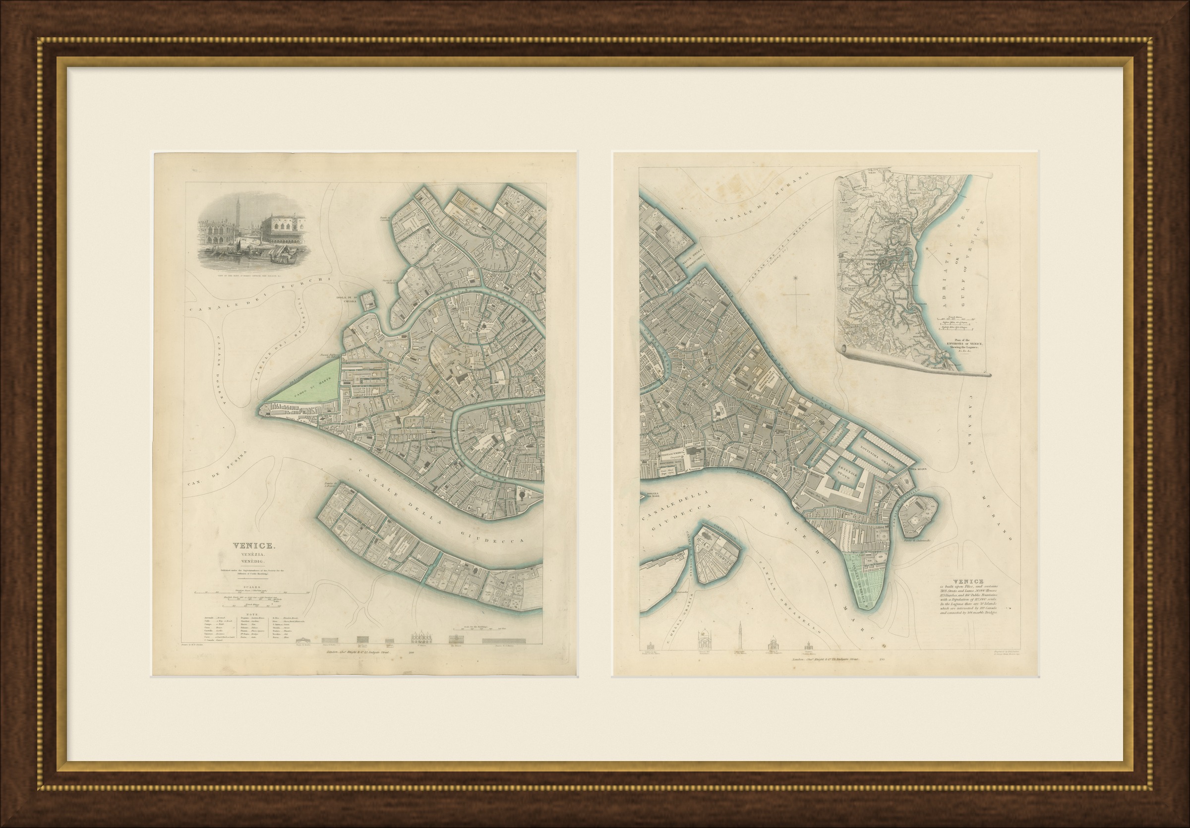
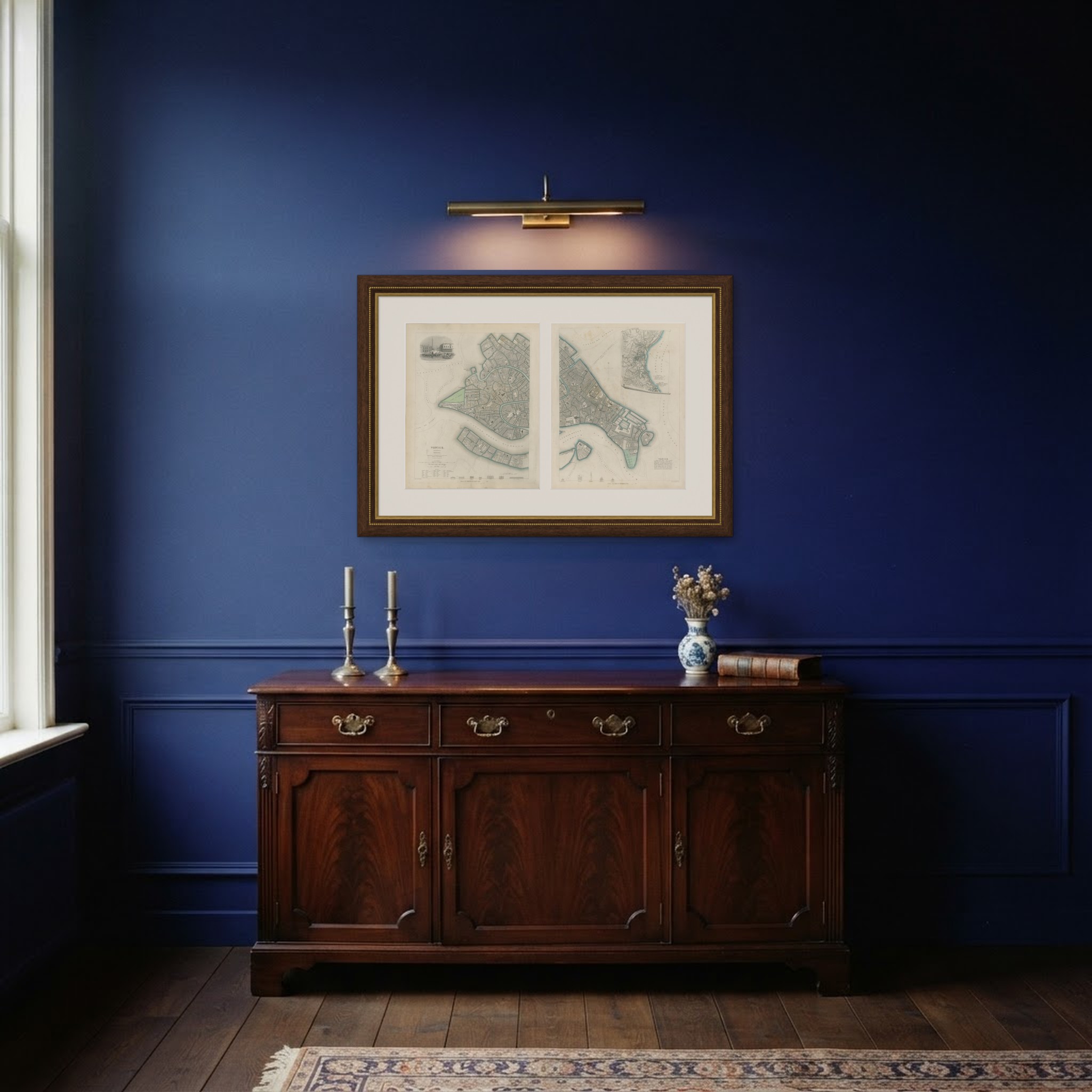
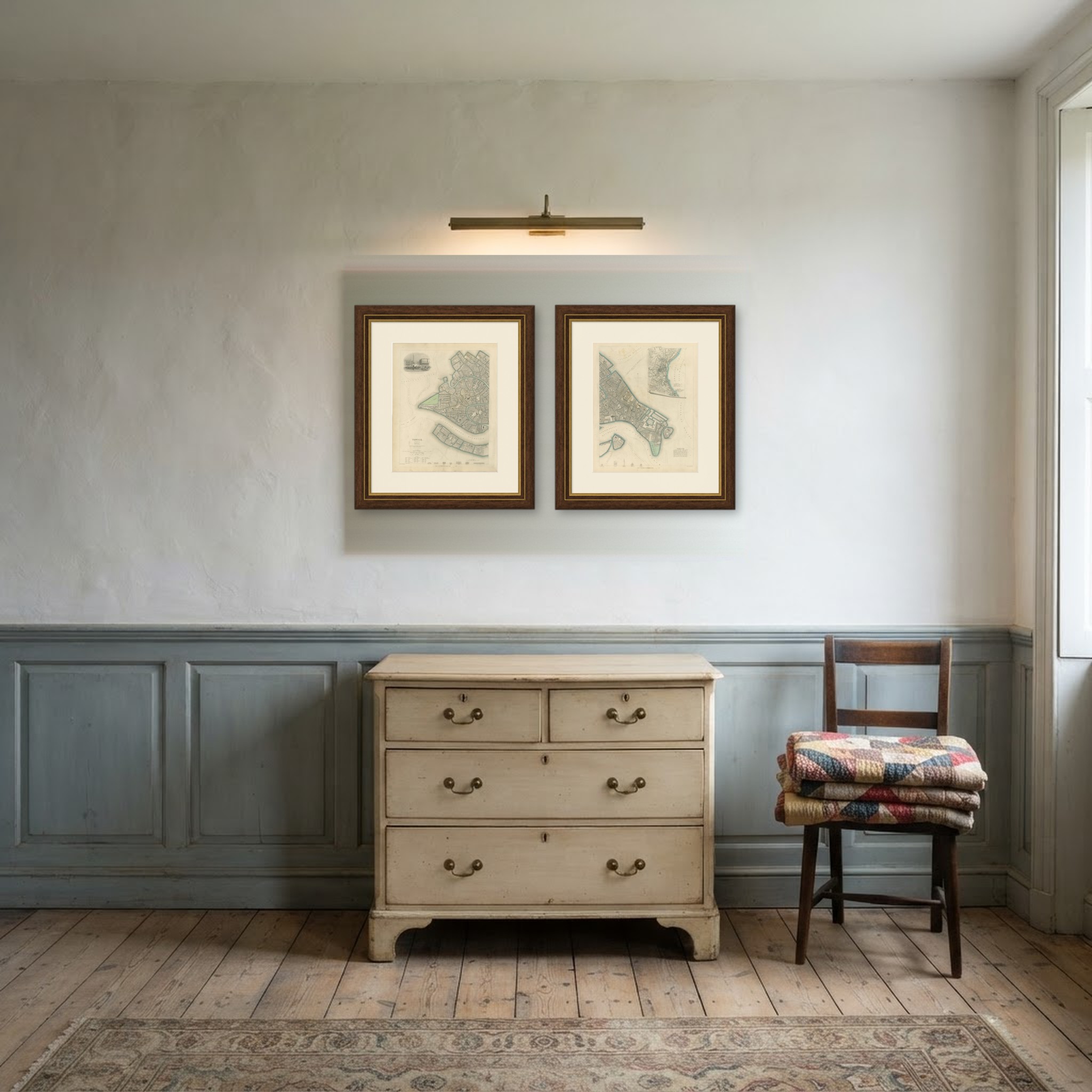
Sold apart, each plate gives only half a city, and the join that makes the plan work is lost. Hung as a pair, side by side in matching frames, they reconstruct the whole of Venice at a scale that lets a visitor find a particular campo. This is how the Society intended the plan to be used.
Light uneven toning, browner toward the edges. Handling soiling along the edges of both sheets. Scattered foxing in the margins of both sheets. All corners complete on every sheet.
These are original antique maps, not modern reproductions. This item is sold unframed. Any framed or interior images are shown for presentation and inspiration only, unless the listing explicitly states that the item is sold framed.