European Turkey, Moldavia and the Black Sea, Antique Map, Paris, 1807
€ 980
Original antique · The actual sheet photographed · Certificate of authenticity on request · Sold unframed · Worldwide shipping from € 15 (rates)
Date
1807
Mapmaker / artist
de Laville
Publisher
Jean, Paris
Technique
Copper Engraving
Coloring
Original hand color
Sheet size
56 × 65 cm (22.0 × 25.6 in)
Condition
Good
Reference
BG-14416
What the condition grades mean
Excellent
Bright and clean, with no faults worth mentioning.
Very good
Only light signs of age, such as faint toning.
Good
Normal signs of age for a sheet of this period: toning, some foxing, small marks or neat old repairs.
Fair
Clear faults such as staining, tears or repairs, priced to match.
Every fault we see is written in the condition note, and the whole sheet is shown uncropped in the photos.
Condition
Trimmed to the engraved border, with no blank margin. Light uneven toning, browner towards the edges. Slight wear at the top left corner. Minor edge wear, shallow nicks along the top. Folding line as issued.
About this sheet
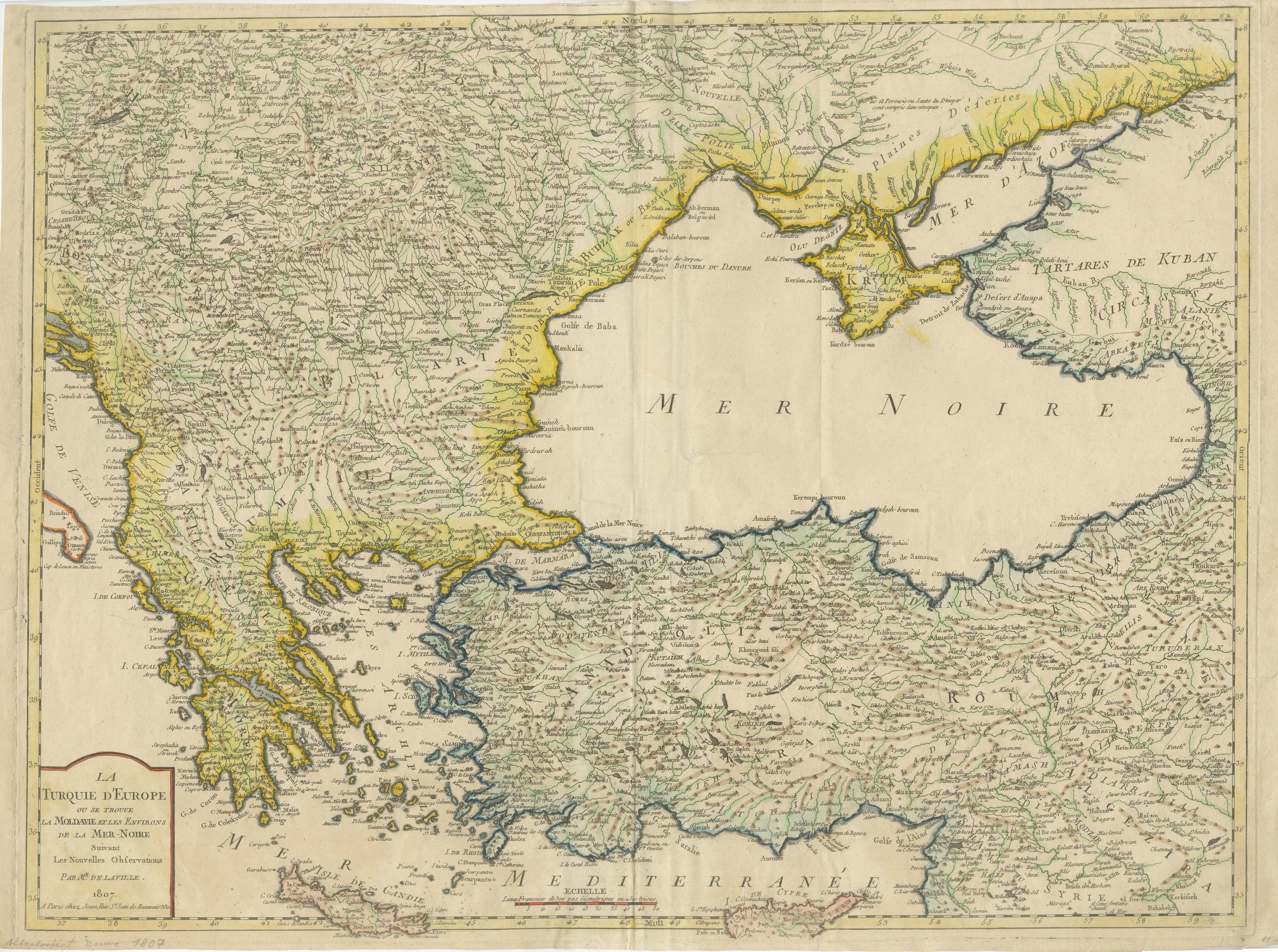
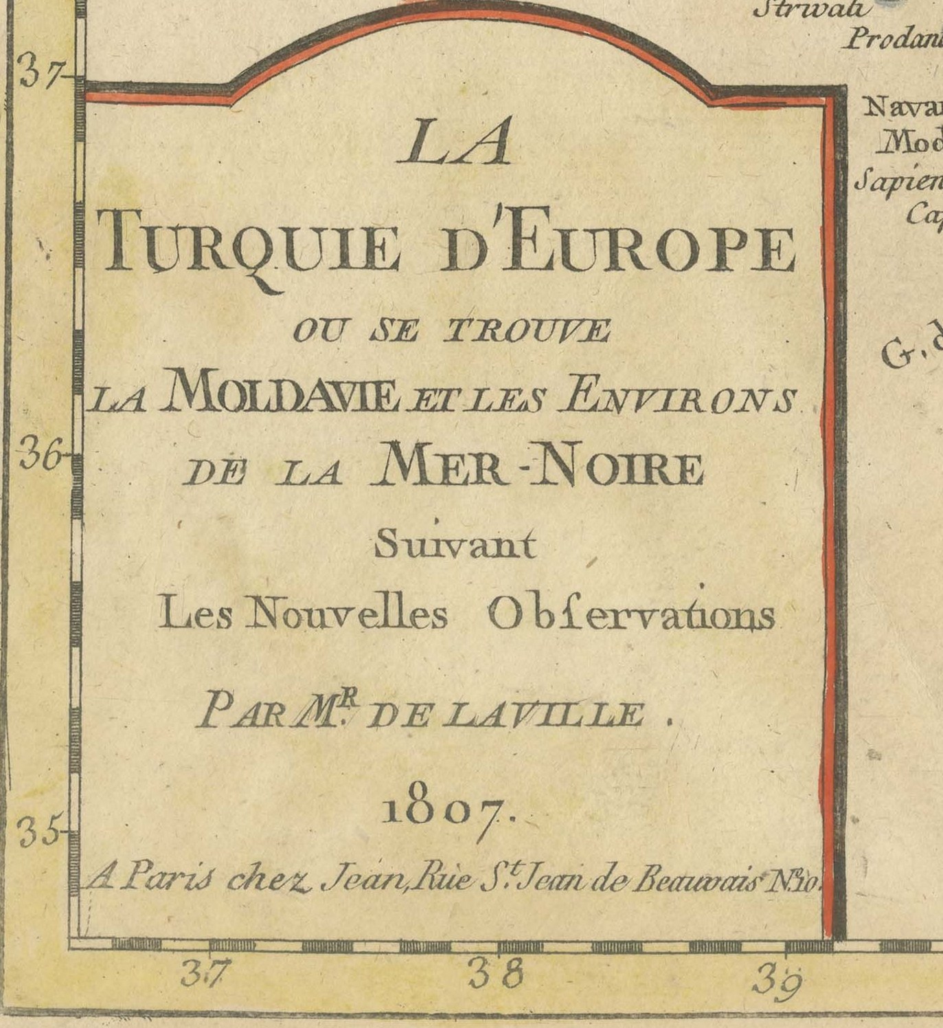
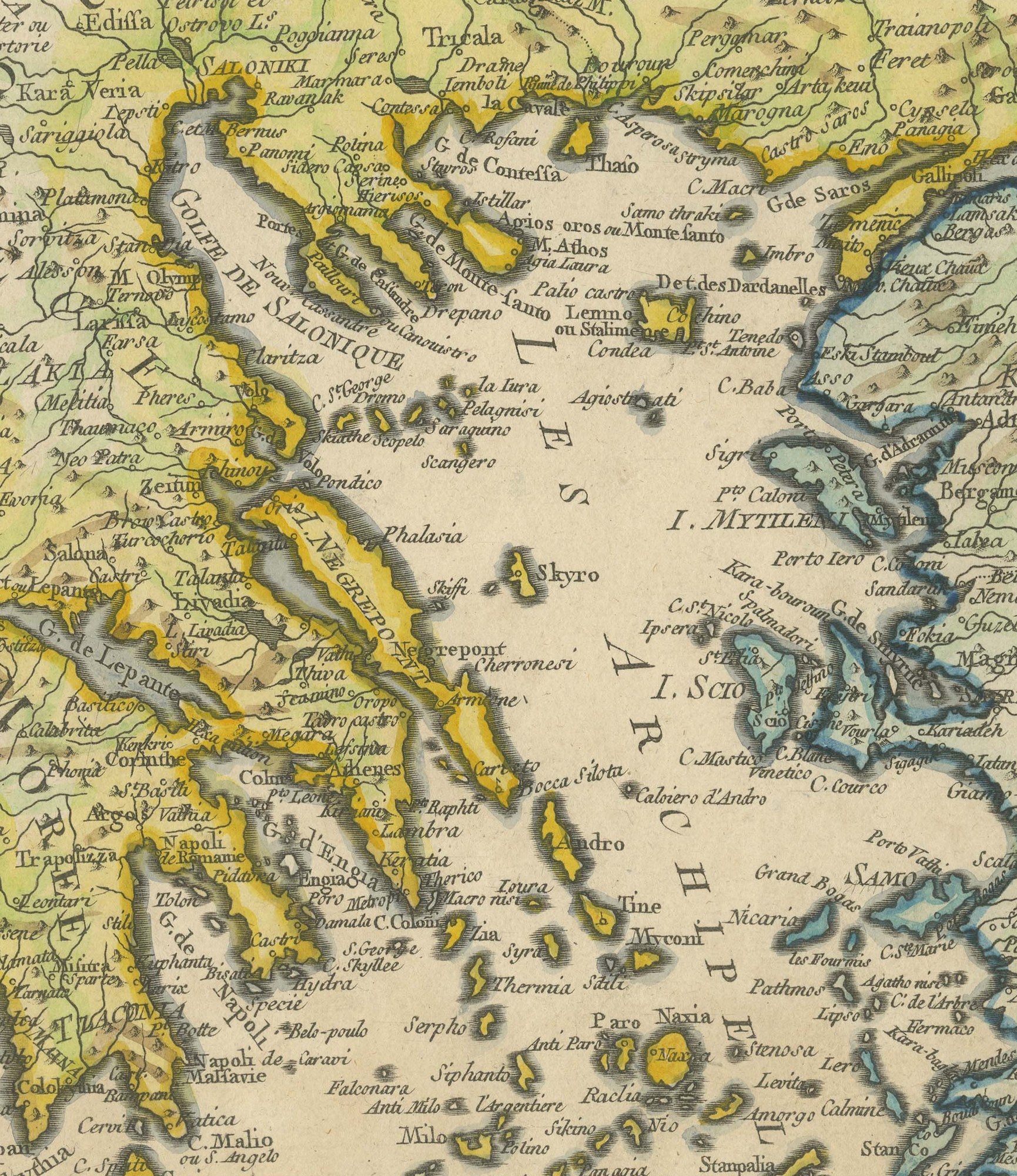
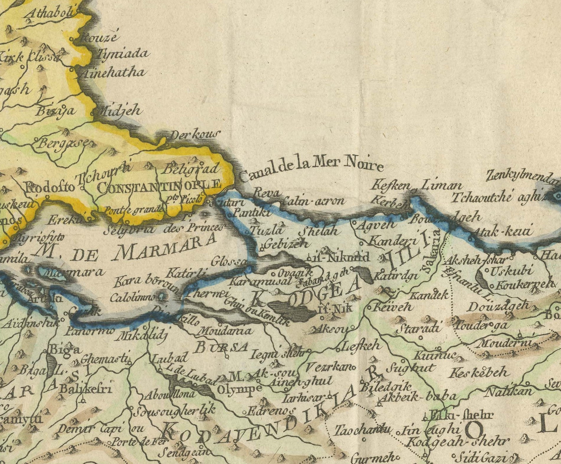
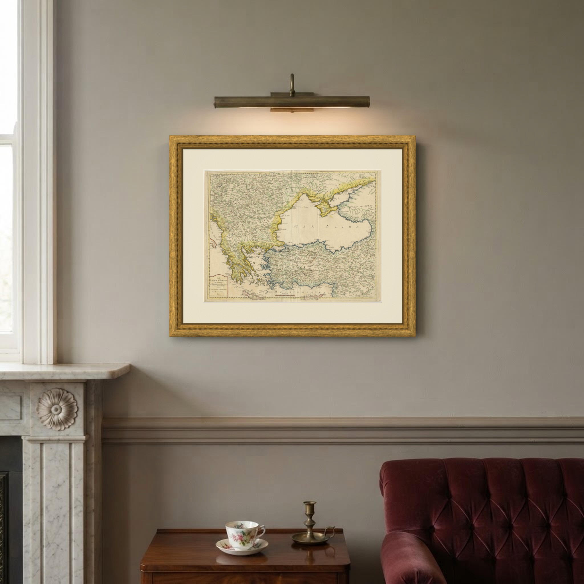
An original antique copper engraved map with original hand color, dated 1807. The cartouche at the lower left is lettered "LA TURQUIE D'EUROPE OU SE TROUVE LA MOLDAVIE ET LES ENVIRONS DE LA MER-NOIRE Suivant Les Nouvelles Observations PAR Mr DE LAVILLE. 1807.", that is, European Turkey, including Moldavia and the surroundings of the Black Sea, after the latest observations, by Mr de Laville.
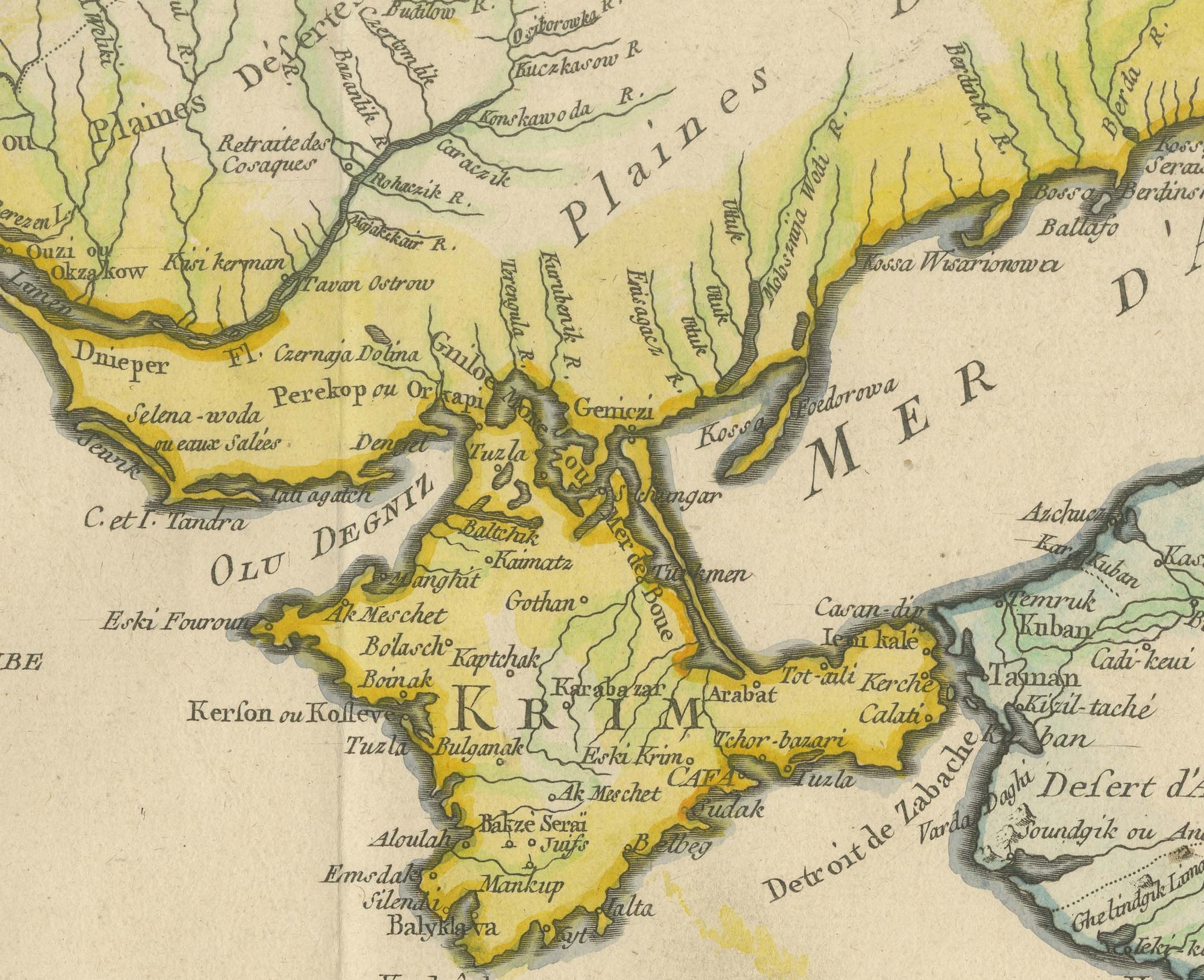
The map is centered on the Black Sea, lettered "MER NOIRE", with the Crimea and the Sea of Azov at the upper right and the Kuban and Circassia along the eastern shore. To the west it covers the Balkans and Greece with the Adriatic coast, Moldavia and Bulgaria, and across the south it covers Anatolia from the Sea of Marmara and the Aegean islands to Trebizond. Cyprus and Crete lie along the lower edge in the Mediterranean.
Borders are drawn in hand applied outline color in yellow, green, red and blue. Mountains are shown by hachures, rivers and towns are named in great number, and a scale of French leagues is lettered "ECHELLE" at the foot of the map.
Below the cartouche is the imprint "A Paris chez Jean, Rue St Jean de Beauvais" with a house number. There is no separate engraver's credit and no plate number. The map was published in Paris by Jean in 1807, during the Russo-Turkish War of 1806 to 1812, when Moldavia and Wallachia were occupied by Russian armies.
Trimmed to the engraved border, with no blank margin. Light uneven toning, browner towards the edges. Slight wear at the top left corner. Minor edge wear, shallow nicks along the top. Folding line as issued.
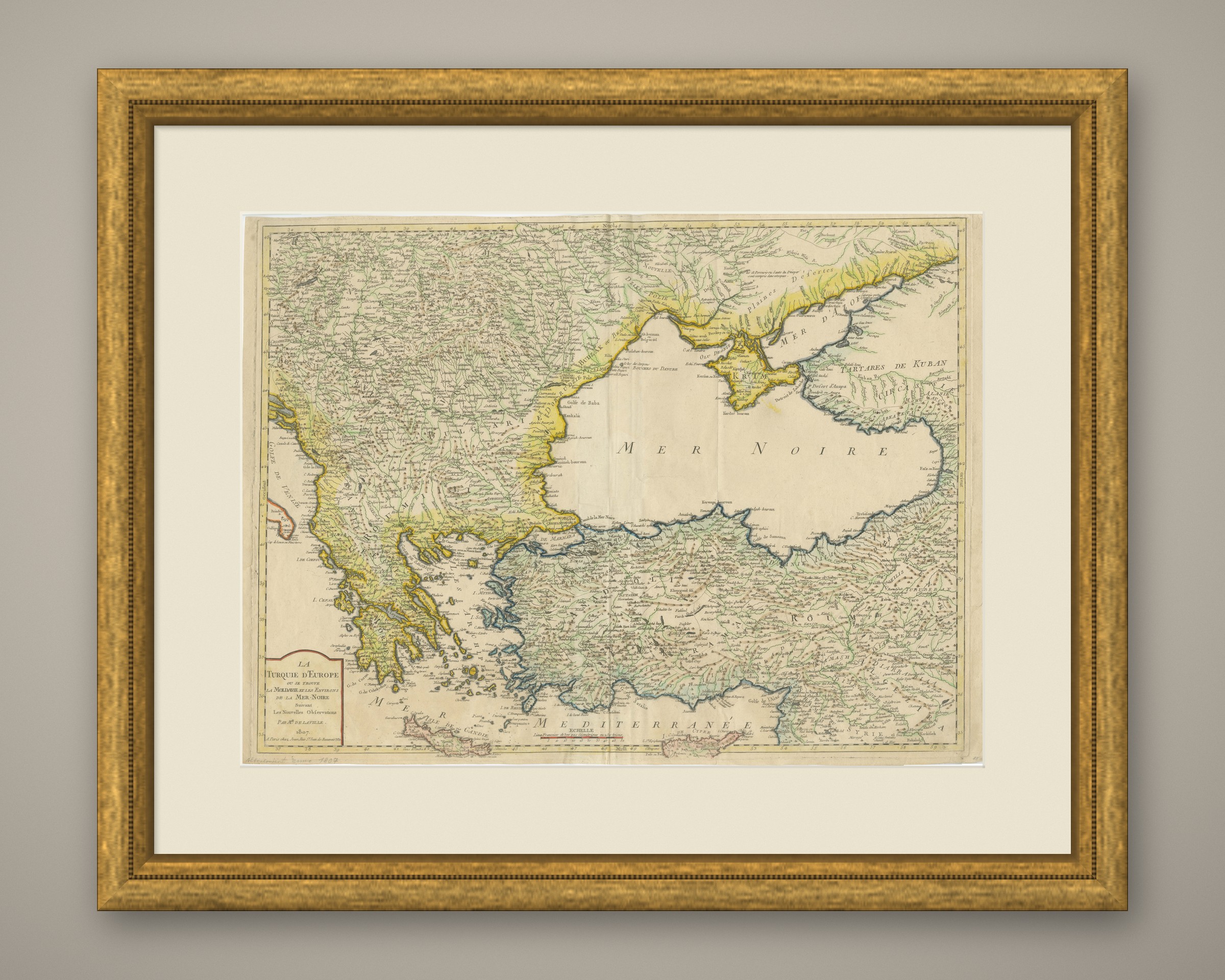
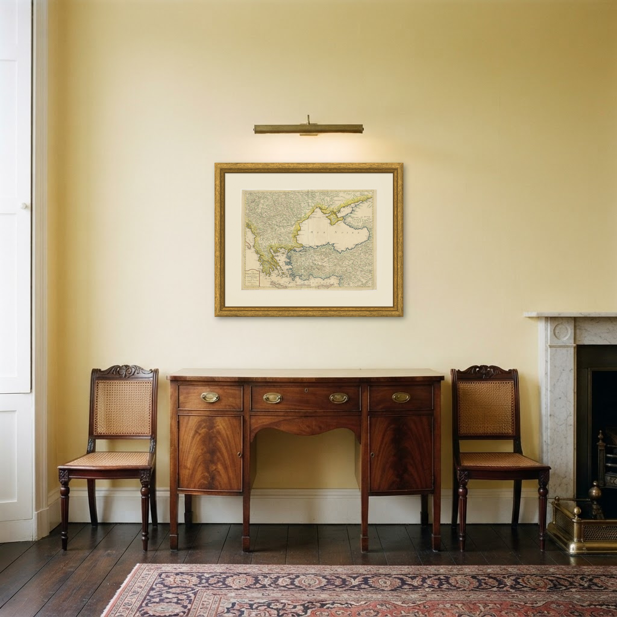
This is an original antique map, not a modern reproduction. This item is sold unframed. Any framed or interior images are shown for presentation and inspiration only, unless the listing explicitly states that the item is sold framed.