Antique Maps of Europe
631 original sheets
Western Europe 1908Northern Europe 146Central Europe 88Eastern Europe 102South-East Europe 135Southern Europe 275Europe as a Whole 169
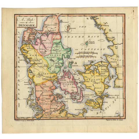
Original Hand-colored Antique Map of Denmark by S. Neele, 1790
1790 · € 210
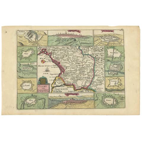
Antique Map of the Languedoc Region 'France' by D. Weege, 1753
1753 · € 265
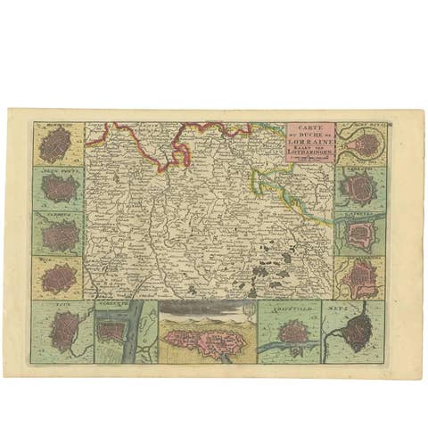
Antique Map of the Lorraine Region 'France' (c.1735)
1735 · € 275
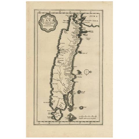
Antique Map of the Island of Java, Indonesia by P. Van Der Aa, 1713
1713 · € 680
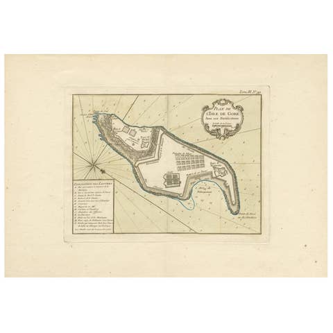
Antique Map of Gorée Island ‘Senegal’ by J.N. Bellin, 1764
1764 · € 235
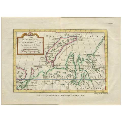
Antique Map of Nova Zembla 'Russia' by J.N. Bellin, 1757
1757 · € 254
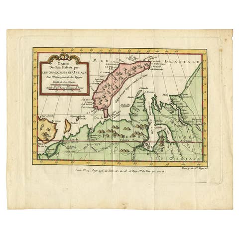
Antique Map of Novaya Zemlya and the Russian Mainland by Bellin, c.1760
1760 · € 250
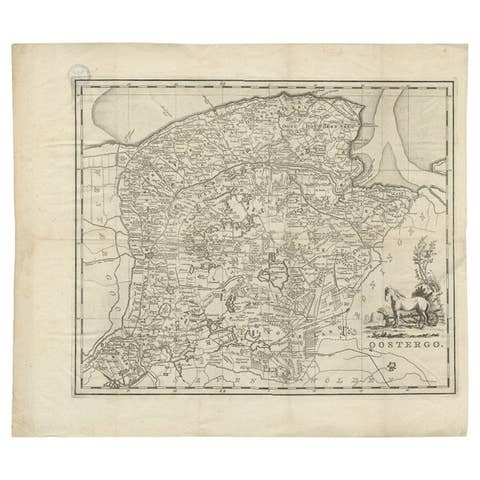
Antique Map of Oostergo, Friesland by Tirion, 1785
1785 · € 230
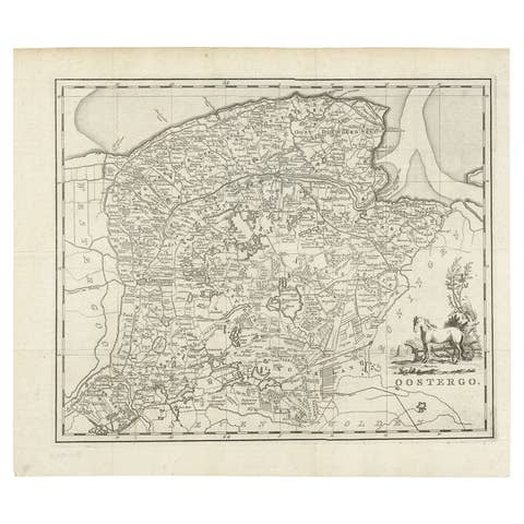
Antique Map of Oostergo, Friesland by Tirion, 1785
1785 · € 195
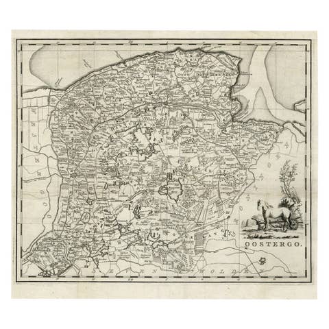
Antique Map of Oostergo, Friesland by Tirion, 1785
1785 · € 188
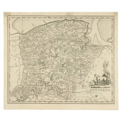
Antique Map of Oostergo by Tirion, 1744
1744 · € 189
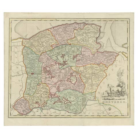
Antique Map of Oostergo by Tirion, 1744
1744 · € 277
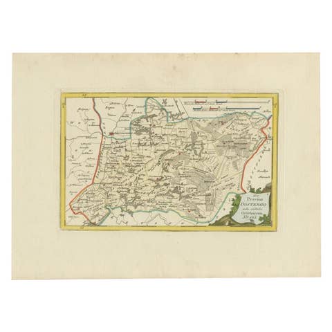
Antique Map of Oostergo by Von Reilly, 1791
1791 · € 158
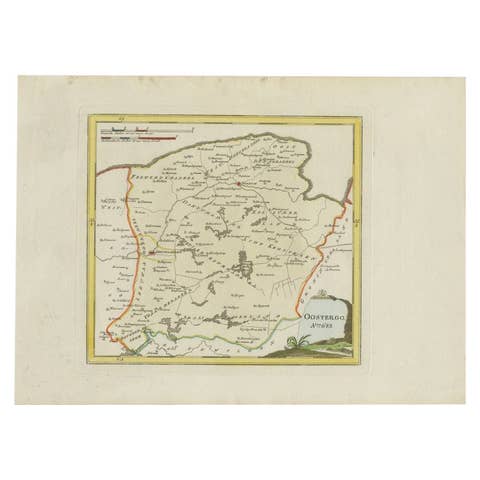
Antique Map of Oostergo, Friesland, by Von Reilly, 1791
1791 · € 390
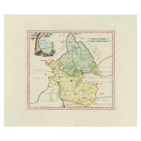
Antique Map of Overijssel and Drenthe by Von Reilly, c.1795
1795 · € 155
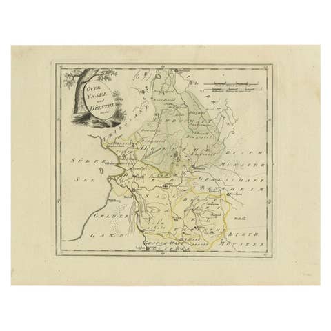
Antique Map of Overijssel and Drenthe by Von Reilly, c.1795
1795 · € 150
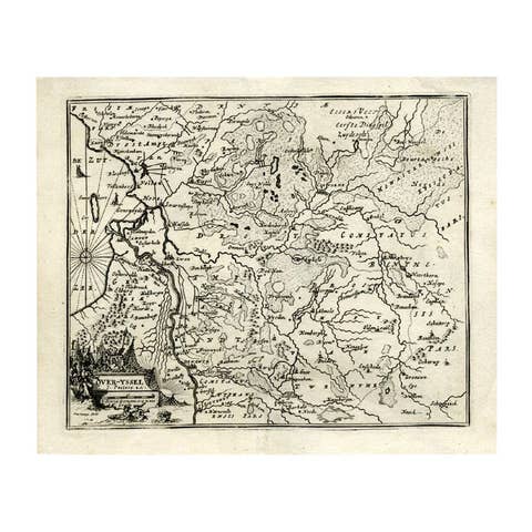
Antique Map of Overijssel by Bachiene, 1758
1758 · € 170
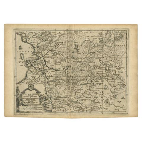
Antique Map of Overijssel by Van der Aa, c.1715
1715 · € 190

Antique Map of Overijssel by Van Jagen, 1771
1771 · € 190
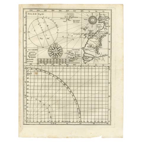
Rare Antique Map of Part of Europe and Africa by Scherer, C.1703
1703 · € 220

Antique Map of Part of Germany by Moll, c.1740
1740 · € 115
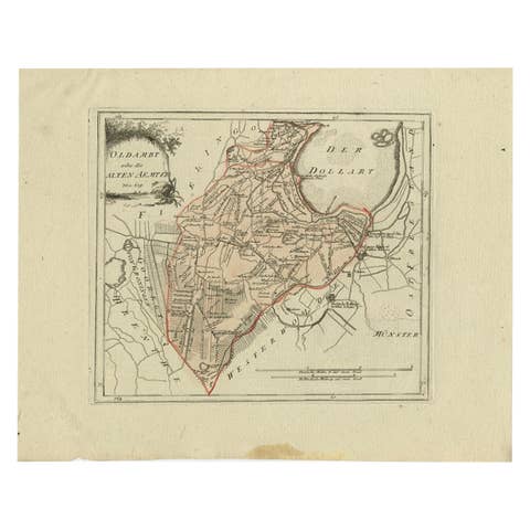
Antique Map of Part of Groningen by Von Reilly, 1792
1792 · € 105
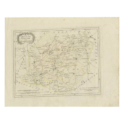
Antique Map of Part of Overijssel by Von Reilly, 1792
1792 · € 125
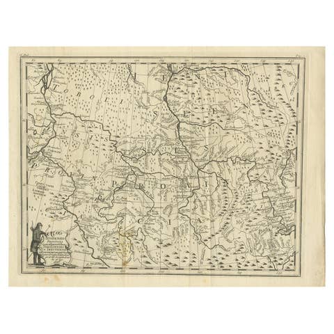
Antique Map of Part of Russia, c.1740
1740 · € 137
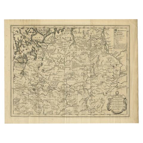
Antique Map of Part of Russia by Spyk, c.1740
1740 · € 153
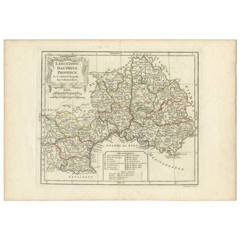
Antique Map of Southeastern France by Vaugondy, c.1790
1790 · € 160
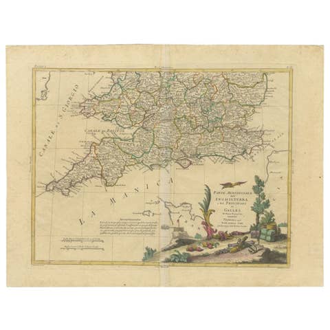
Antique Map of Southern England and Wales by Zatta, 1784
1784 · € 213
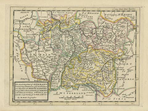
Decorative Original Antique Map of Southern Germany, c.1730
1730 · € 240
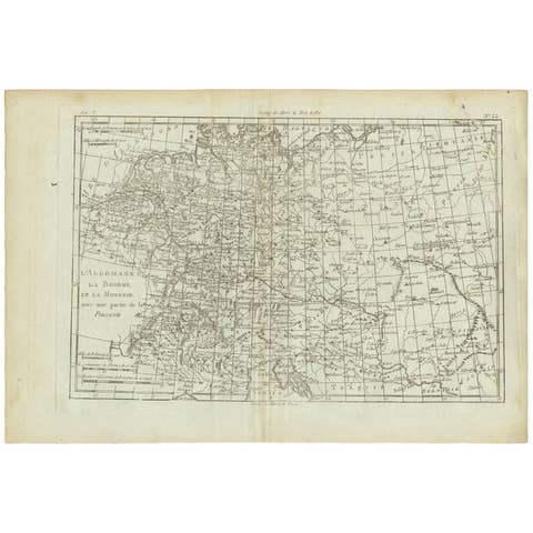
Antique Map of Germany, Bohemia, Hungary and Part of Poland by R. Bonne ‘1780’
1780 · € 140
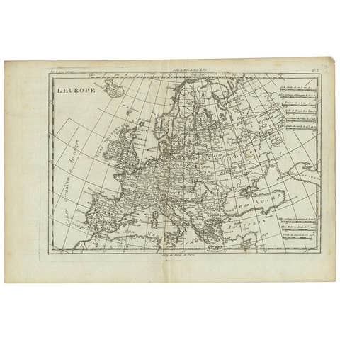
Antique Map of Europe by R. Bonne, 1780
1780 · € 180
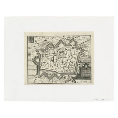
Antique Map of the City of Leeuwarden by Christyn, 1785
1785 · € 114
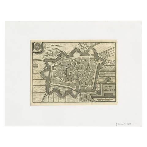
Antique Map of the City of Leeuwarden by Harrewijn, 1743
1743 · € 123
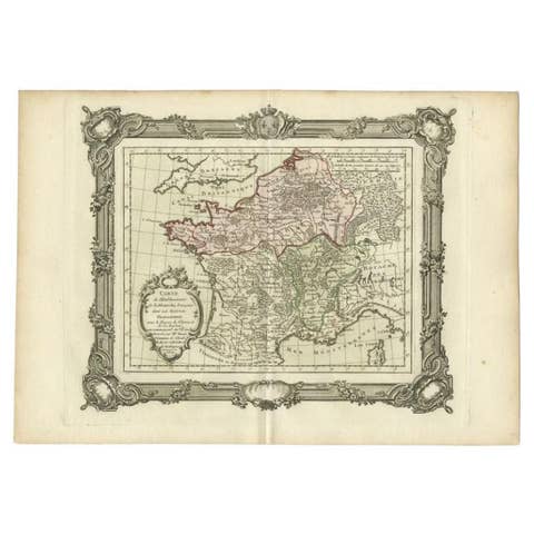
Antique Map of the Establishment of the French Monarchy by Zannoni, 1765
1765 · € 163
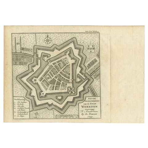
Antique Map of the City of Woerden by Tirion, c.1750
1750 · € 125
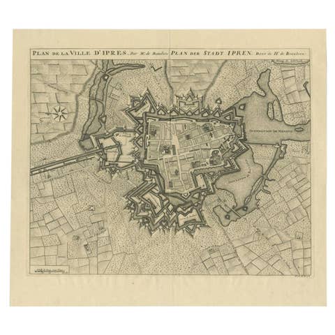
Antique Map of the City of Ypres by Beaulieu, 1729
1729 · € 223
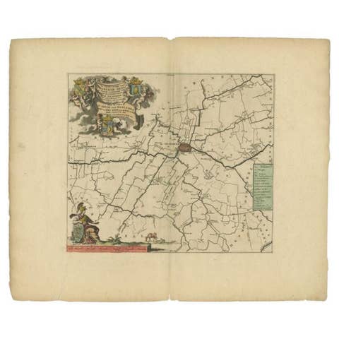
Antique Map of the Franekeradeel Township 'Friesland' by Halma, 1718
1718 · € 360
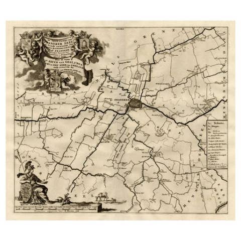
Antique Map of the Franekeradeel Township 'Friesland' by Halma, 1718
1718 · € 263
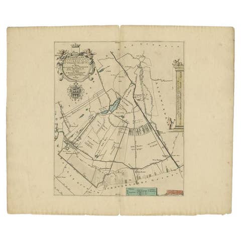
Antique Map of the Haskerland Township 'Friesland' by Halma, 1718
1718 · € 355
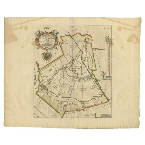
Antique Map of the Haskerland Township 'Friesland' by Halma, 1718
1718 · € 277
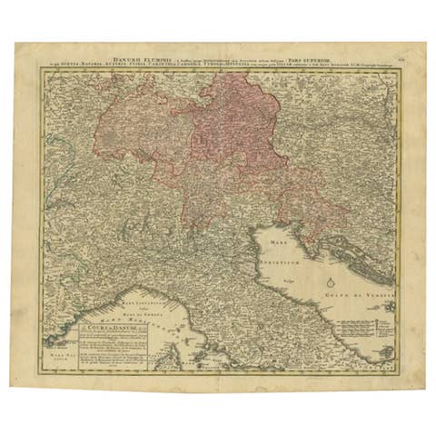
Antique Map of the Danube River and Surroundings by Homann Heirs, c.1730
1730 · € 420
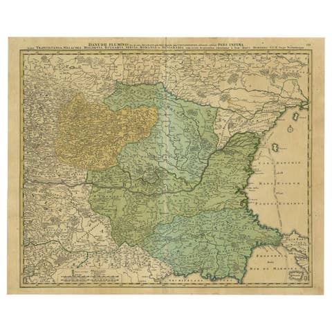
Antique Map of the Danube River by Homann, c.1720
1720 · € 925
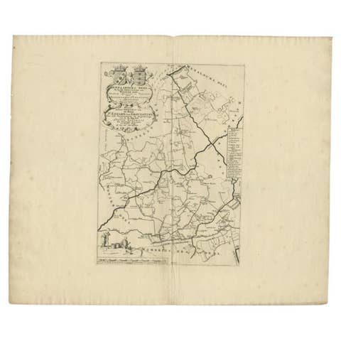
Antique Map of the Hennaarderadeel Township 'Friesland' by Halma, 1718
1718 · € 355
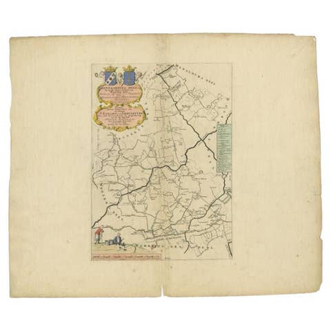
Antique Map of the Hennaarderadeel Township 'Friesland' by Halma, 1718
1718 · € 320
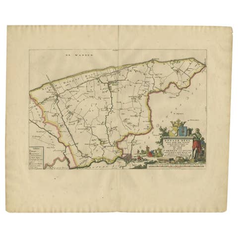
Antique Map of the Dongeradeel Township 'Friesland' by Halma, 1718
1718 · € 383
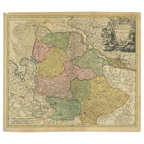
Antique Map of the Duchies of Bremen and Verden by Homann, c.1730
1730 · € 233
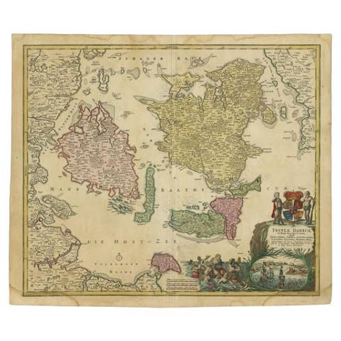
Antique Map of the Islands of Denmark by Homann Heirs, 1720
1720 · € 348
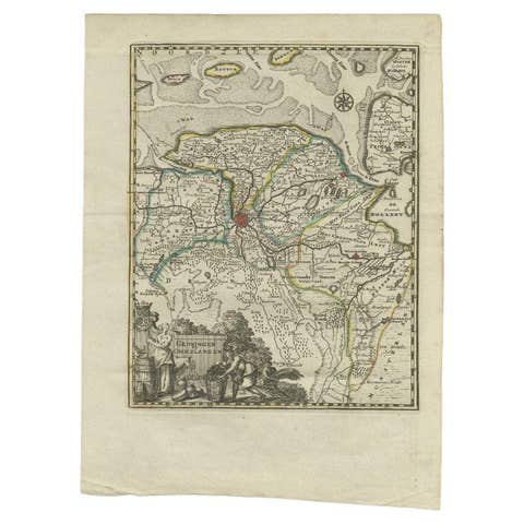
Antique Map of the Province of Groningen by Keizer & De Lat, 1788
1788 · € 220
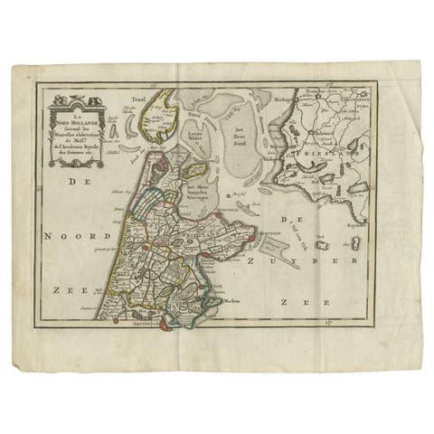
Antique Map of the Province of Noord-Holland by Keizer & De Lat, 1788
1788 · € 220