About this sheet
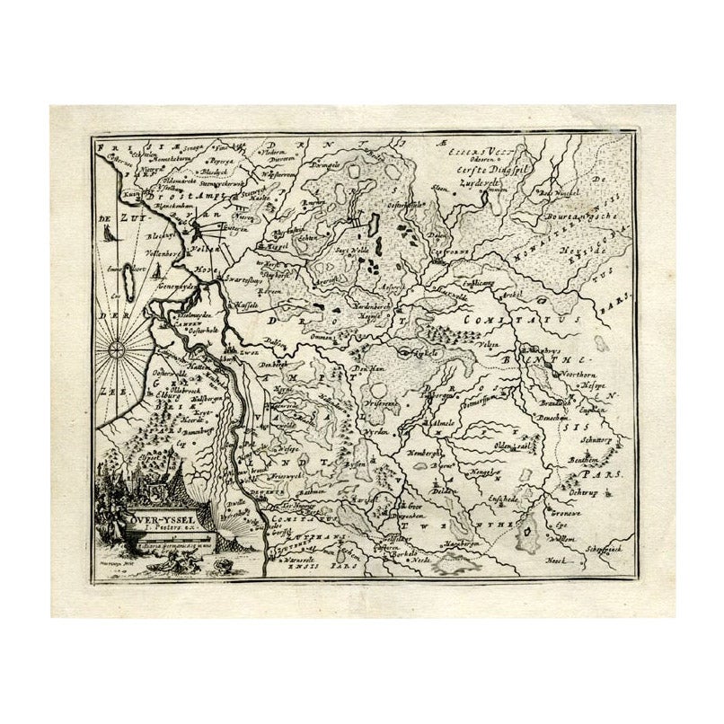
Antique map titled 'Over-Yssel'. Map of the Overijssel, the Netherlands. This map originates from 'Kort begrip der Oude en Nieuwe Staatkundige Geographie', by W.A. Bachiene, published by Covens & Mortier in 1758, printed in Utrecht by Jan Jakob van Pootsum. Artists and Engravers: Author: Willem Albert Bachiene (Leerdam 1712 - Maastricht 1783). He was a Clergyman in the army and in Namen, Belgium and Kuilenburg (Culemborg). From 1759 he was Clergyman in Maastricht and also Professor in Astronomy and Geography at the 'Illustere School'. This map was engraved by Jacobus Harrewijn-Harrewyn (1660-1727) after I. Peeters.
Condition: Good, general age-related toning. Please study image carefully.
Date: 1758
Overall size: 20.2 x 17.5 cm.
Image size: 0.001 x 17.5 x 14.3 cm.
They were the product of engraved, etched or lithographed plates. These plates were handmade out of wood or metal, which required an incredible level of skill, patience and craftsmanship. Whether you have a house with Victorian furniture or more contemporary decor an old engraving can enhance your living space.