Maps & PrintsBartele Gallery · Langweer
Home / Antique Maps / Europe / Northern Europe

Northern Europe · 18th century

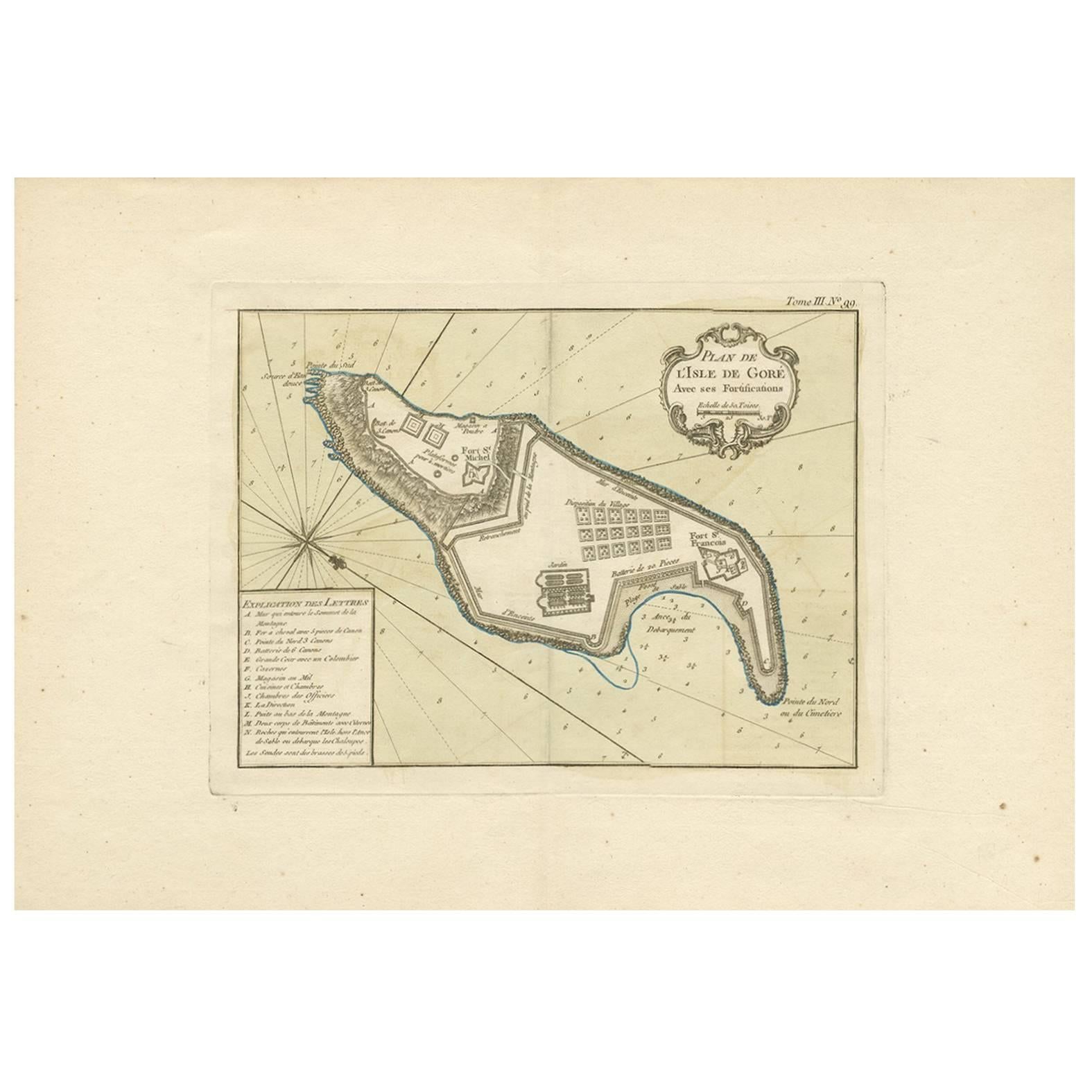
Antique Map of Gorée Island ‘Senegal’ by J.N. Bellin, 1764

€ 235

One of a kind: this is the sheet in the photographs. Ships from Langweer, the Netherlands.

Date
1764
Sheet size
32.6 × 46.7 cm (12.8 × 18.4 in)
Condition
Good
Reference
BG-06518

Condition

Please study image carefully.
About this sheet

Nautical antique chart of Gorée Senegal including a letter key to the island's fortifications. Gorée is known as the location of the House of Slaves built by an Afro-French Métis family.

More from Northern Europe

Ask about this sheet

Antique Map of Gorée Island ‘Senegal’ by J.N. Bellin, 1764
1764 · Ref. BG-06518 · € 235
We reply by email, usually within one working day.