Maps & PrintsBartele Gallery · Langweer
Home / Antique Maps / Europe / Western Europe / France

France · 18th century

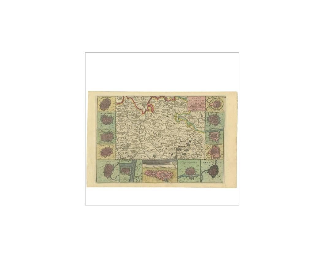
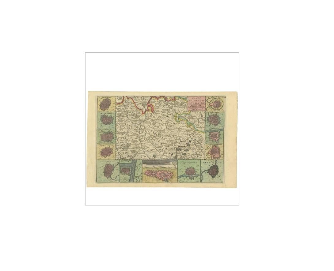
Antique Map of the Lorraine Region 'France' (c.1735)

€ 275

One of a kind: this is the sheet in the photographs. Ships from Langweer, the Netherlands.

Date
1735
Sheet size
19.7 × 30.7 cm (7.8 × 12.1 in)
Condition
Good
Reference
BG-03363

Condition

Original/contemporary hand coloring. Please study image carefully.
About this sheet

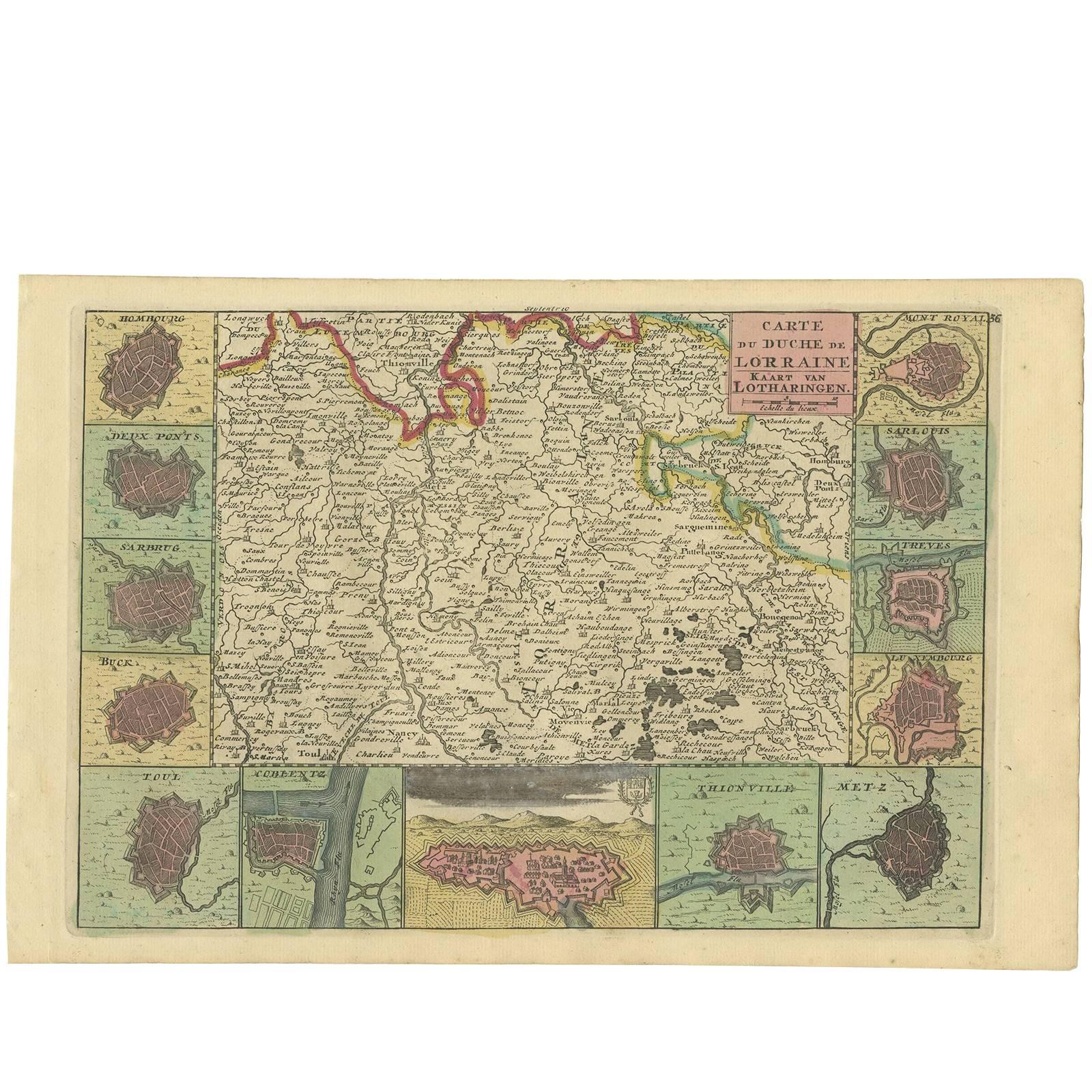
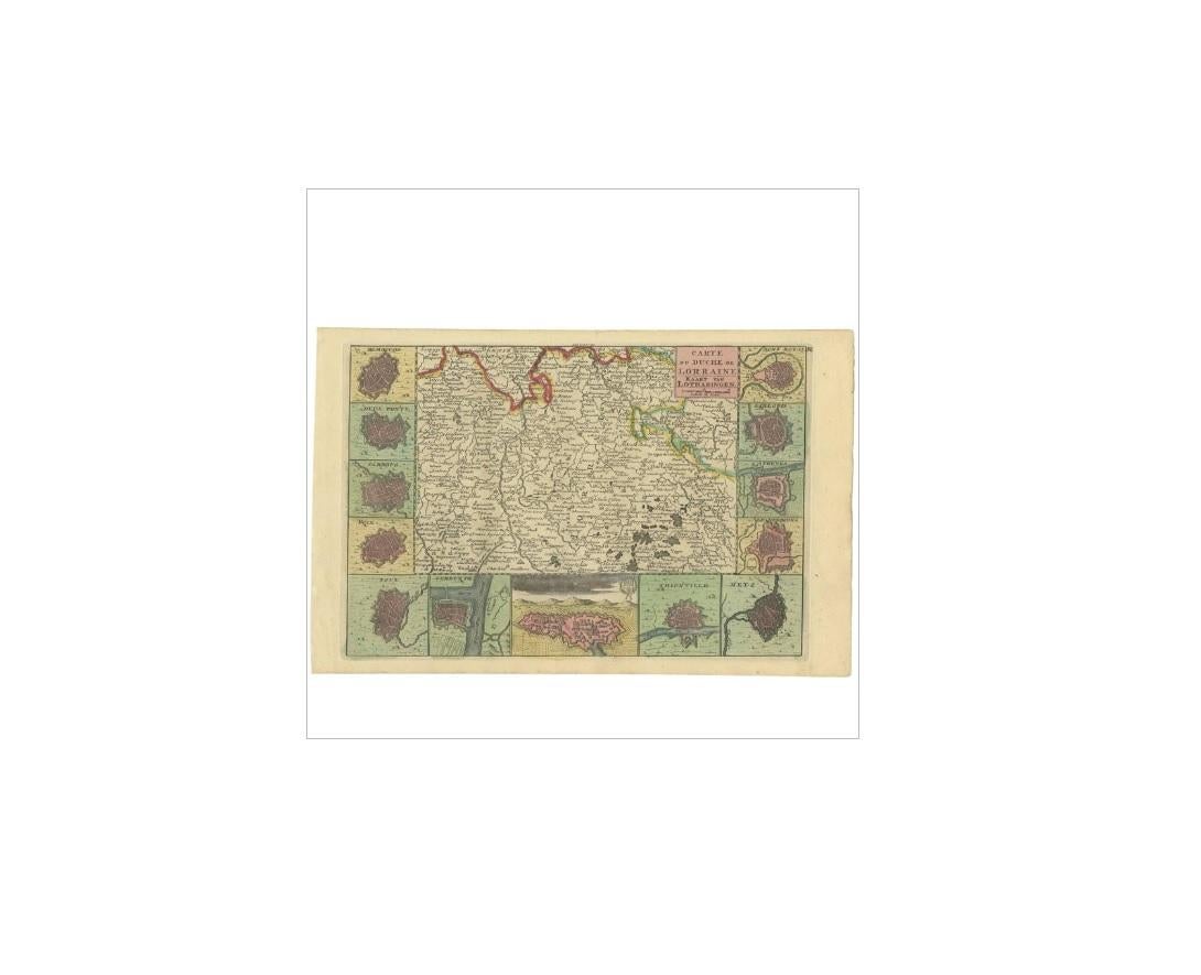
Antique map titled 'Carte du Duche de Lorraine - Kaart van Lotharingen'. A detailed map of the Duchy of Lorraine. The map is surrounded by thirteen vignette bird-eye view of fortified towns and cities with Nancy occupying the central position along the lower border. Source unknown, to be determined.

More from France

Ask about this sheet

Antique Map of the Lorraine Region 'France' (c.1735)
1735 · Ref. BG-03363 · € 275
We reply by email, usually within one working day.