Maps & PrintsBartele Gallery · Langweer
Home / Antique Maps / Europe / Western Europe / France

France · 18th century

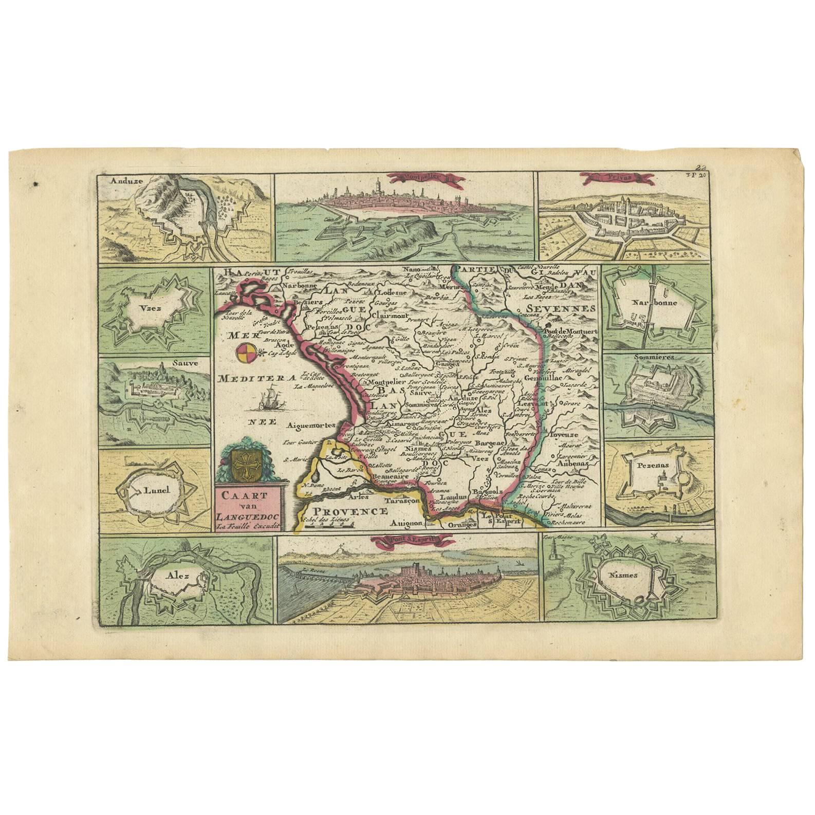
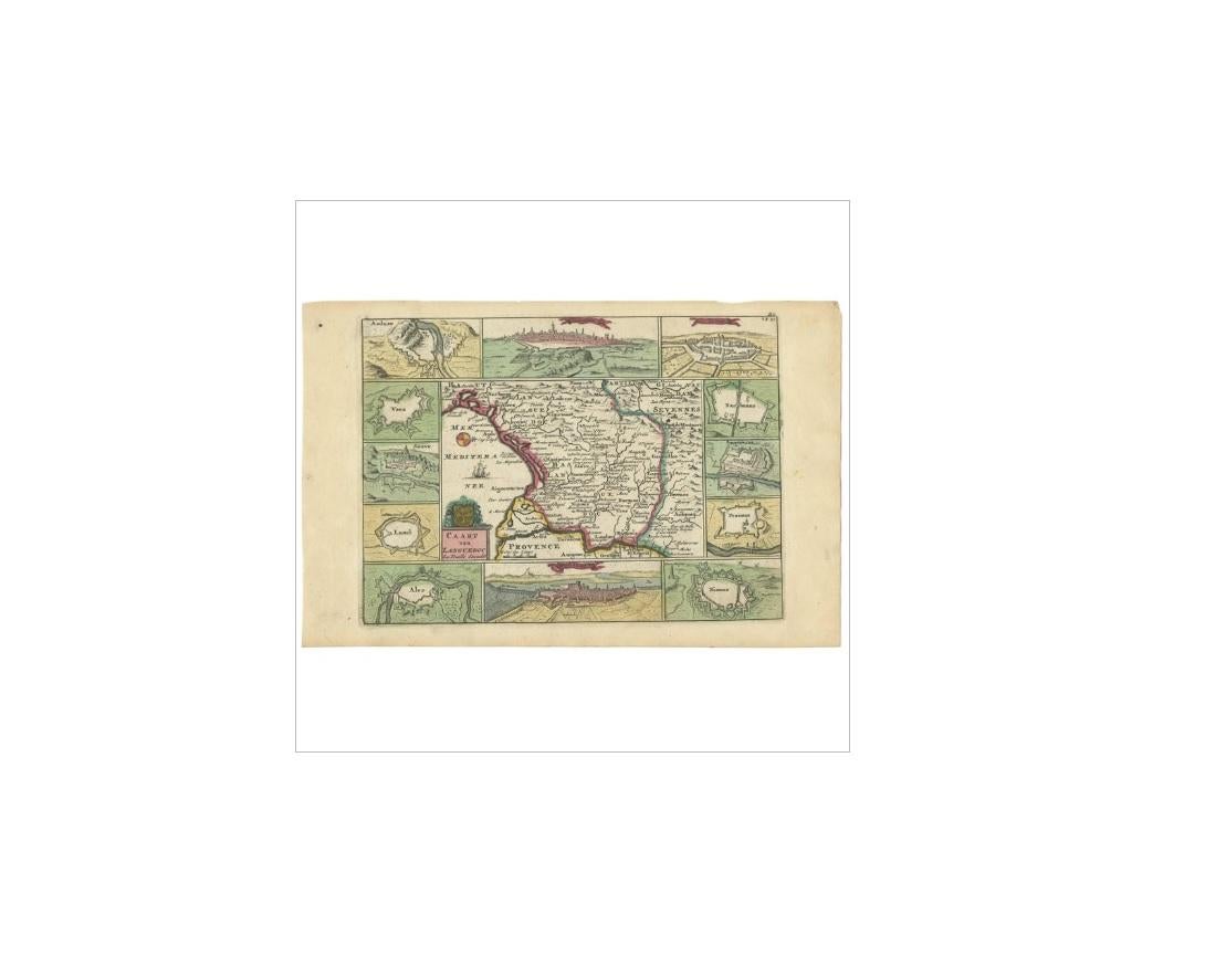
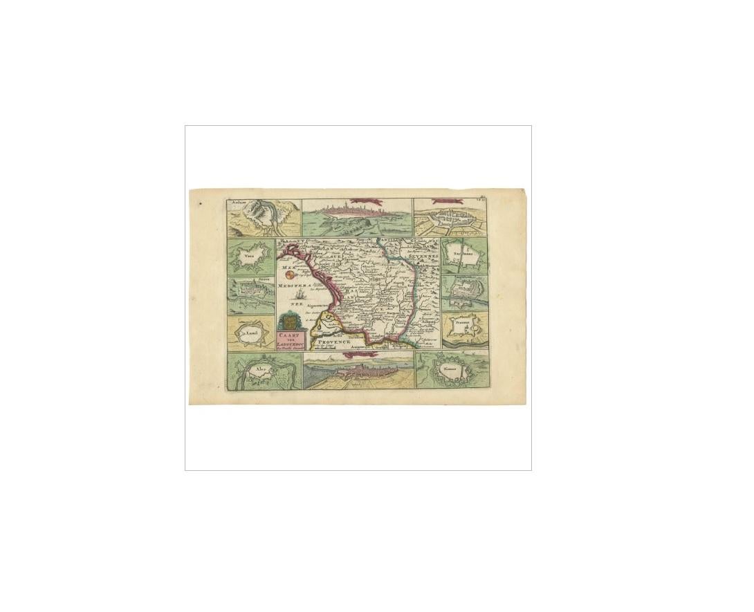
Antique Map of the Languedoc Region 'France' by D. Weege, 1753

€ 265

One of a kind: this is the sheet in the photographs. Ships from Langweer, the Netherlands.

Date
1753
Sheet size
19.6 × 30.5 cm (7.7 × 12.0 in)
Condition
Good
Reference
BG-03364

Condition

Original/contemporary hand coloring. Please study image carefully.
About this sheet

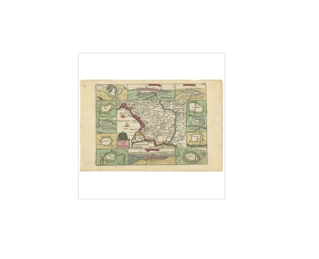
Antique map titled 'Caart van Languedoc'. Map of the Languedoc-Rousillion region in Southern France. Flanked by miniature plans and views of cities of the region like Montpellier, Nimes, Privas etc. This map originates from: 'Kleyne en Beknopte Atlas, of Tooneel des Oorlogs in Europa, ...', published in Amsterdam by David Weege, 1753. First and only very rare edition. This work is a reissue of an atlas published by Erven J. Ratelband en Compagnie, Amsterdam, 1735, enlarged with 25 maps / views. Including maps and views from earlier sources like Jacob Aertsz. Colom (circa 1635) and Daniel de La Feuille (circa 1706).

More from France

Ask about this sheet

Antique Map of the Languedoc Region 'France' by D. Weege, 1753
1753 · Ref. BG-03364 · € 265
We reply by email, usually within one working day.