Antique Maps
5,418 original sheets
Europe 3023Asia 1110Africa 236America 548Australia & Oceania 159World Maps 111Sea Charts 209Celestial Maps 22
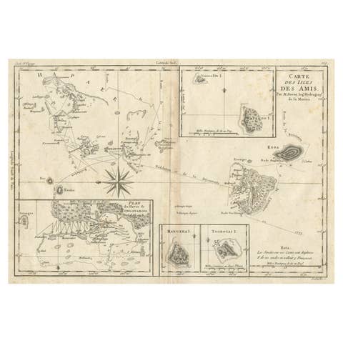
Old Map of the Kingdom of Tonga, Also Known as the Friendly Islands, ca.1780
1780 · € 260
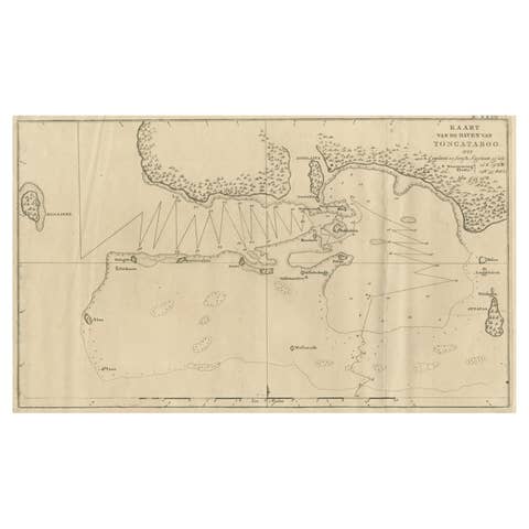
Antique Map of the Harbour of Tongatabu, One of the Tonga Islands, 1803
1803 · € 360
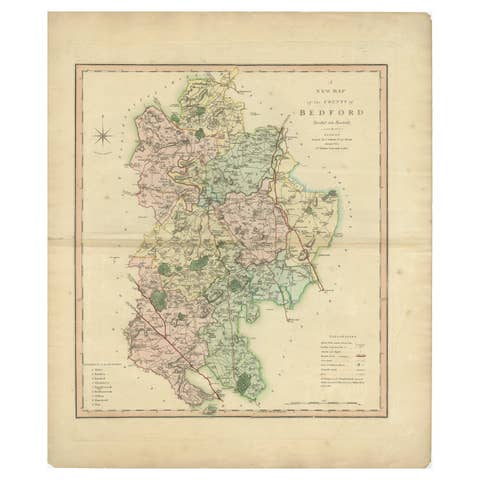
Antique Colorful and Decorative County Map of Bedfordshire, England, 1804
1804 · € 325
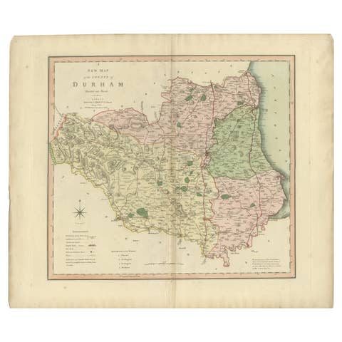
Original Hand-Colored Antique County Map of Durham, England, 1804
1804 · € 325
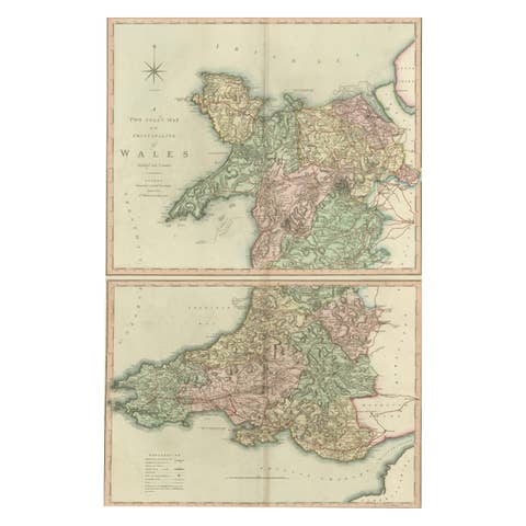
Two Sheet Map of the Principality of Wales Divided into Counties, 1804
1804 · € 550

Antique Decorative Map of The County of Nottinghamshire, England, 1804
1804 · € 325
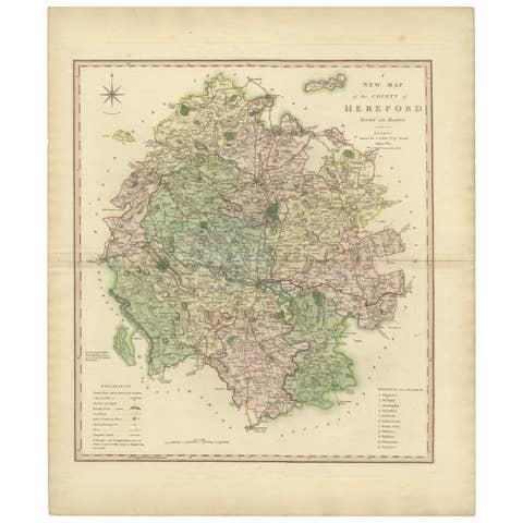
Original Hand-Colored Antique Map of the County of Hereford in England, 1804
1804 · € 325
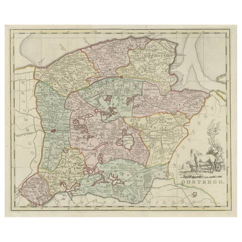
Antique Map of Oostergo, Part of Friesland, the Netherlands. Published in 1744
1744 · € 590
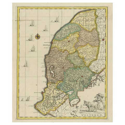
Original Copper-Engraving of Westergo, Part of Friesland, the Netherlands, 1744
1744 · € 640

Decorative Antique Map of Germany, 1846
1846 · € 230
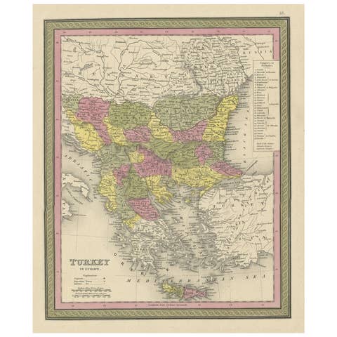
Old Colorful Decorative Map of Turkey in Europe, 1846
1846 · € 230
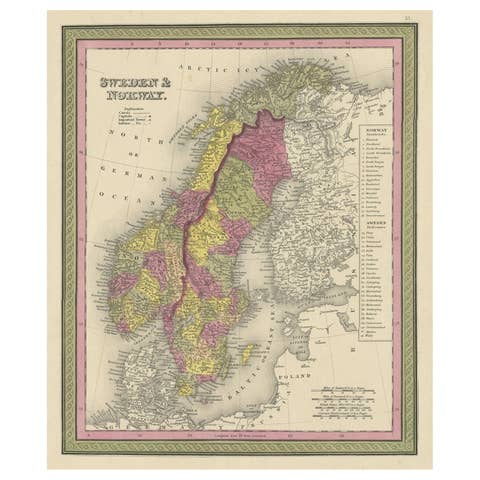
Old Colorful Map of Sweden and Norway, 1846
1846 · € 220
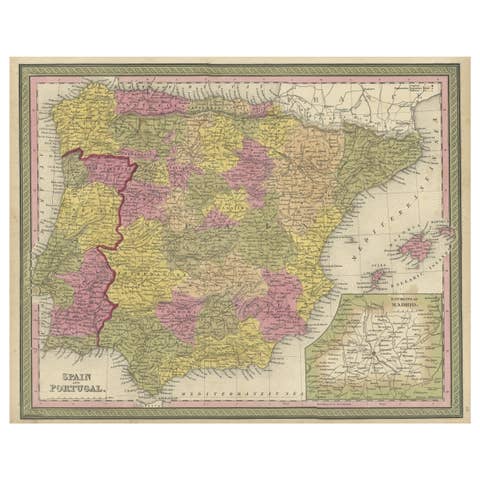
Old Map of Spain and Portugal, with an Inset Map of the Region of Madrid, 1846
1846 · € 220

Engraved Map of Northern England, Focusing on Northumberland, 1658
1658 · € 440
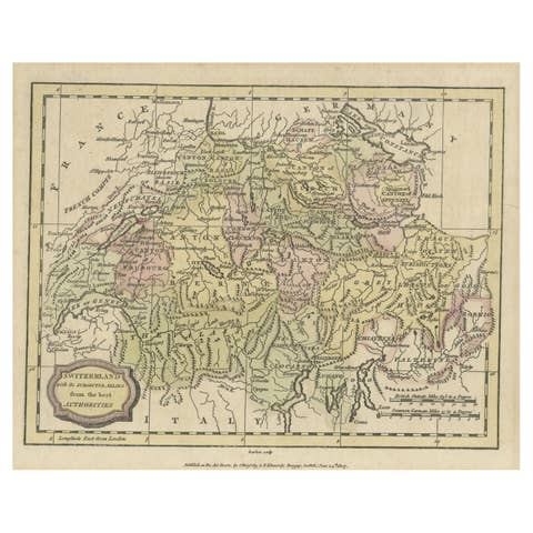
Small Original Antique Map of Switzerland and Surroundings, 1807
1807 · € 130
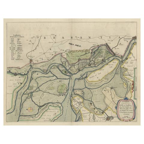
Original Map of the Military Situation After the Dutch Blockade of Antwerp, 1648
1648 · € 670
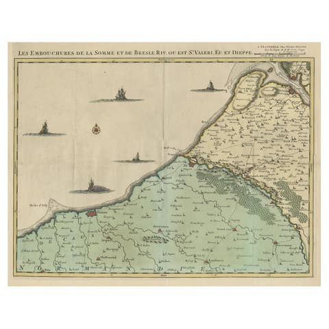
Beautiful Antique Map of the French Coast, from St. Valeri to Dieppe, 1720
1720 · € 1 100
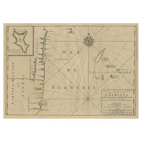
Map of the Mozambique and Tanzania Coast & Inset Map of Anjouan Island, ca.1700
1700 · € 640
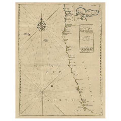
Old Map of the Namibia and South Africa Coasts & Inset of Saldanha Bay, ca.1700
1700 · € 640
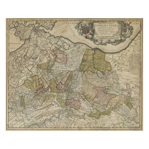
Original Colored Antique Map of Utrecht & Surroundings, The Netherlands, c1690
€ 890
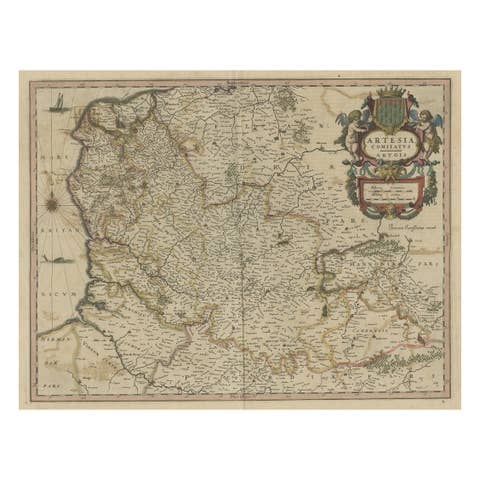
Original Hand-Colored Antique Map of Artois or Artesia, France, ca.1650
1650 · € 340
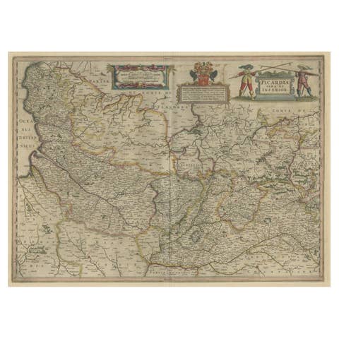
Detailed Original Antique Map of the Picardy Region of France, 1657
1657 · € 490
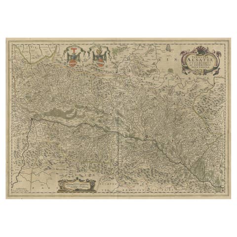
Map of the Alsace, France Incl the Rhine from Phillipsburg to South Basle, c1650
€ 360
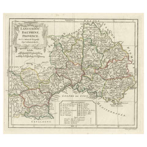
Beautiful Antique Map of Southeastern France with Decorative Cartouche, ca.1790
1790 · € 380
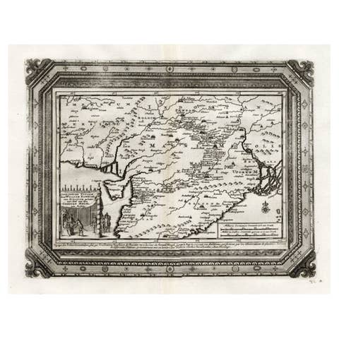
Rare Antique Map of the Moghul Empire, ca.1725
1725 · € 840
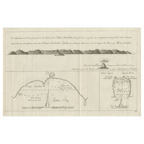
Old View of the Queen Charlotte's Islands 'Santa Cruz Islands, Solomon', 1774
1774 · € 360
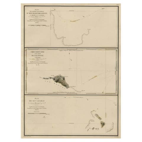
Map of the Laughlan Islands, Rossel Island & Reef North of New Caledonia, 1833
1833 · € 450
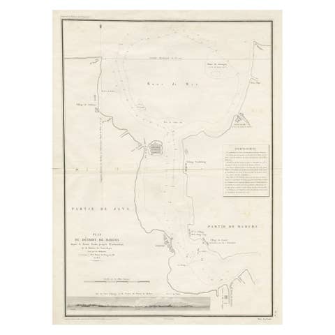
Detailed Map of the Madura Strait, between Java & Madura Island, Indonesia, 1825
1825 · € 1 250
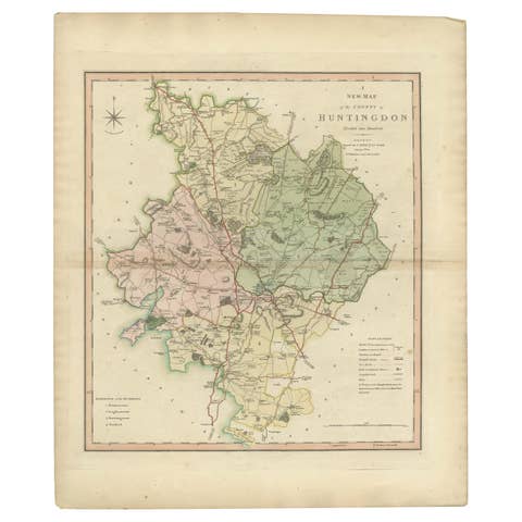
Antique Decorative County Map of Huntingdonshire, England, 1804
1804 · € 325

Antique Decorative County Map of Lincolnshire, England, 1804
1804 · € 325

Antique Decorative and Detailed County Map of Cumberland, England, 1804
1804 · € 325
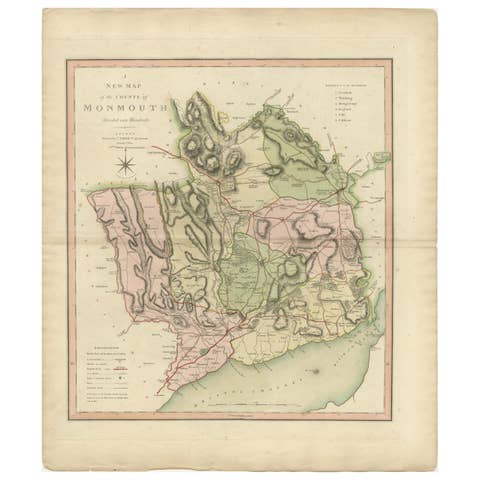
Antique County Map of Monmouthshire, England, circa 1804
1804 · € 325

Antique County Map of Leicestershire, England, 1804
1804 · € 325

Antique County Map of Derbyshire, England, 1804
1804 · € 325
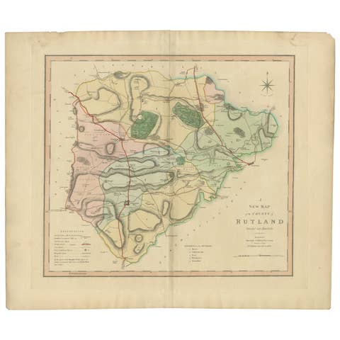
Antique Hand-Colored County Map of Rutland, England, 1804
1804 · € 325
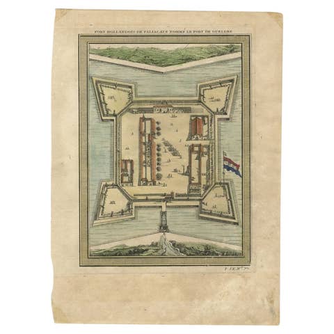
Fort Hollandois De Paliacate Nommé Le Fort De Gueldre, Bellin, 1751
1751 · € 120
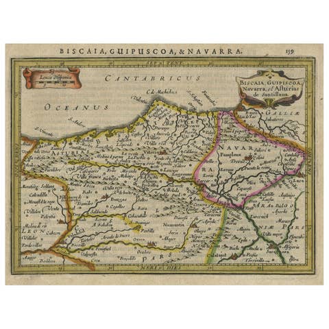
Charming Map of Northeastern Spain with the Areas of Pamplona & Valladolid, 1634
1634 · € 440
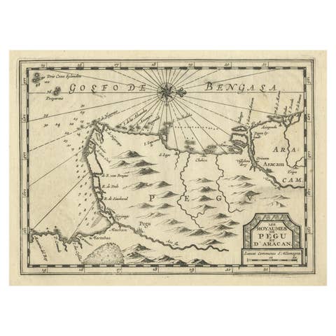
Rare Antique Copper Engraving of a Map of Pegu and Arakan, Burma (Myanmar), 1714
1714 · € 540
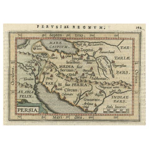
Original Antique Miniature Map of Persia, Published, ca.1601
1601 · € 540
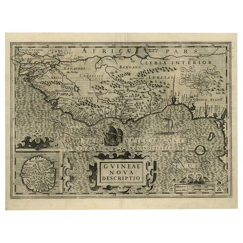
Old Decorative Map of the West African Coast & St. Thomae Island, c.1600
1600 · € 1 450
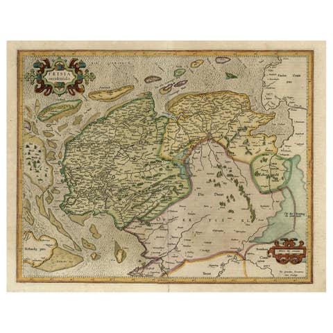
Old Map of the Dutch Provinces of Friesland and Groningen, The Netherlands, 1604
1604 · € 1 150
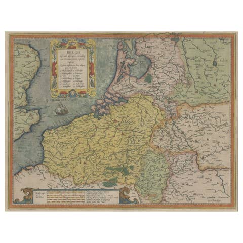
Original Antique Map the Imperial States of the Habsburg Netherlands, 1609
1609 · € 1 250
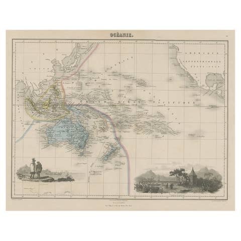
Old Map of the Oceans Around Australia, Indonesia and New Zealand, 1880
1880 · € 220
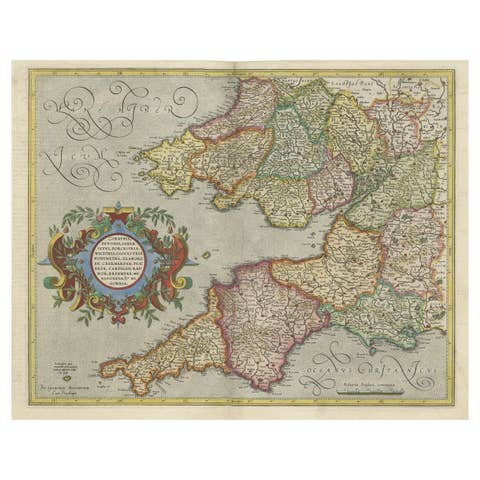
Original Antique Map of the English counties Cornwall, Devon, Dorset, etc, 1633
1633 · € 1 150
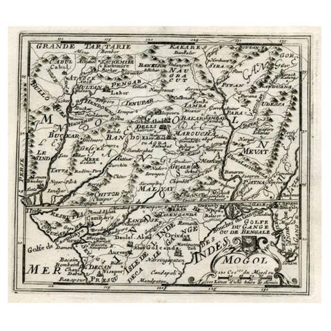
Map of Northern India and Pakistan 'Mogol', Showing Kabul, Delhi Etc., 1758
1758 · € 370
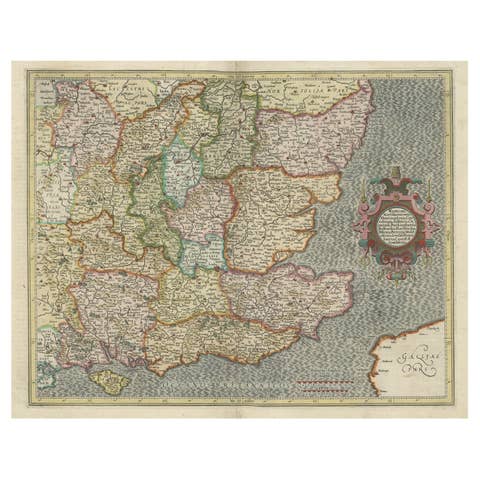
Original Old Map of South East England Incl London, Oxford, Cambridge, Etc, 1633
1633 · € 1 150

Old Map of the Eastern Region of the Kingdom of Algiers, Algeria, 1773
1773 · € 460
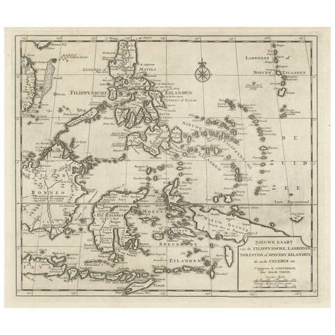
Old Map of the Philippines and Part of Indonesia 'Spice Islands', 1744
1744 · € 660