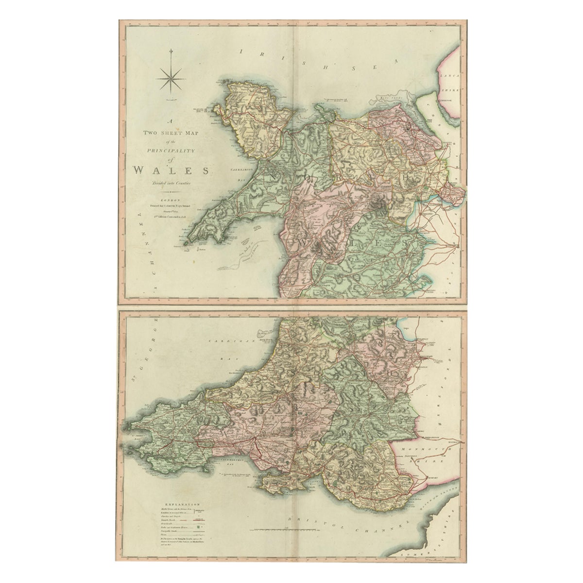
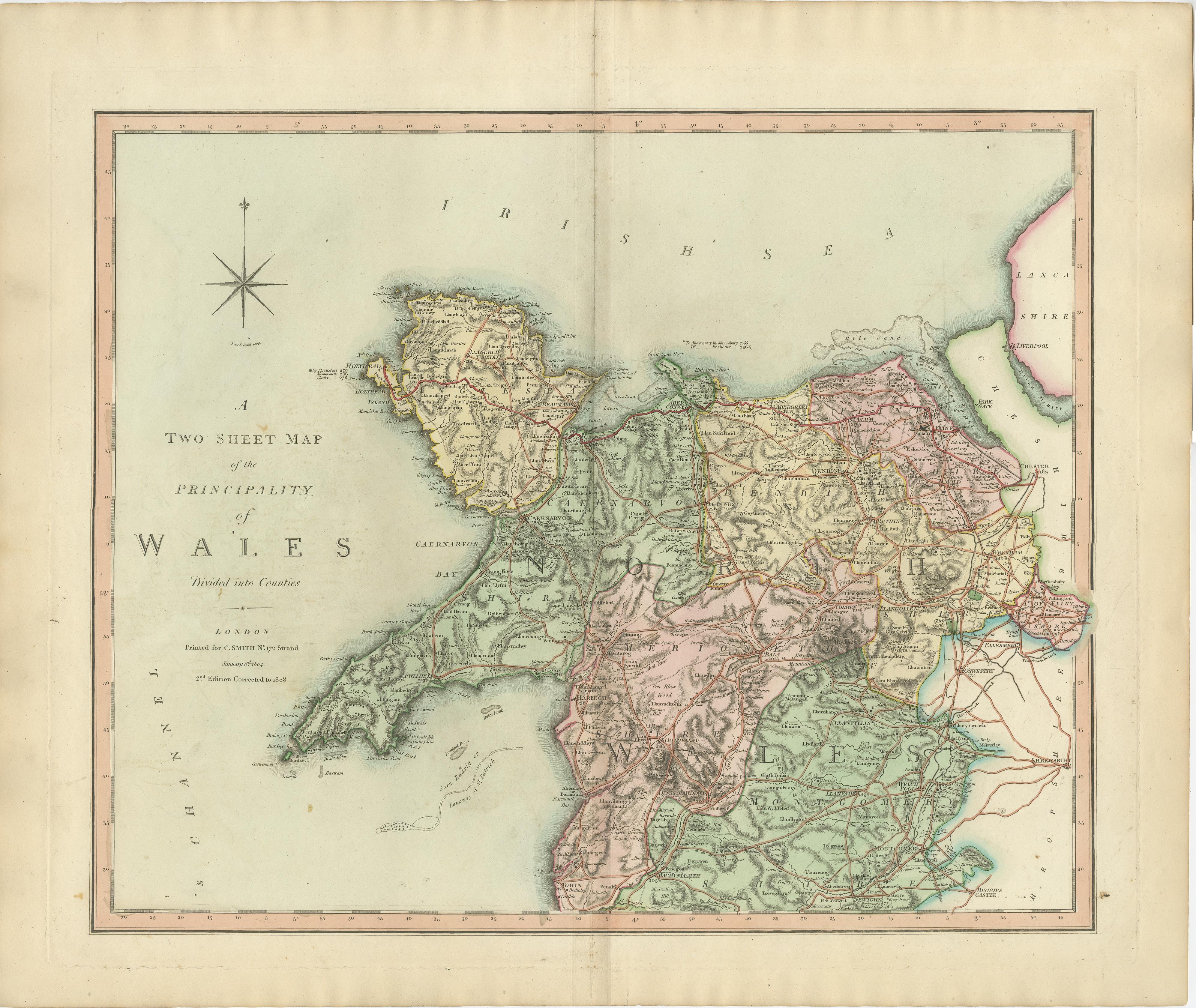
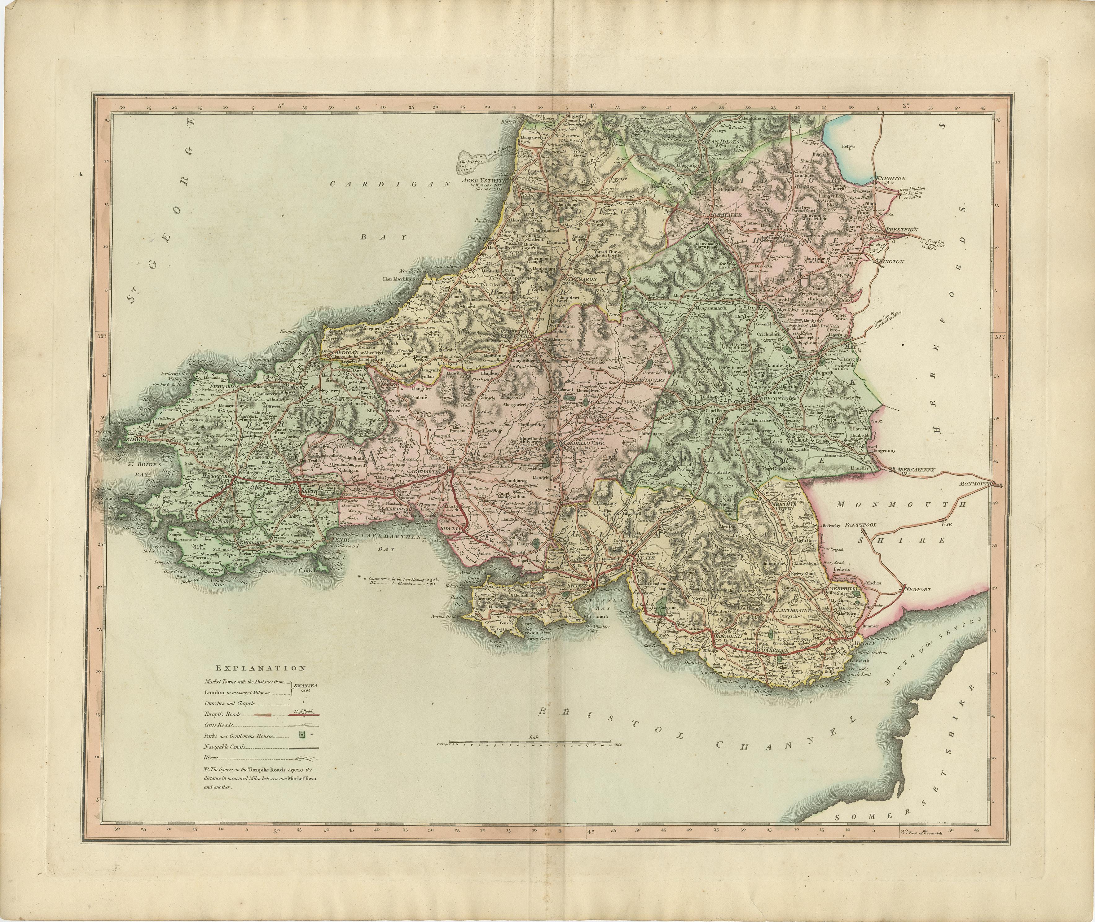
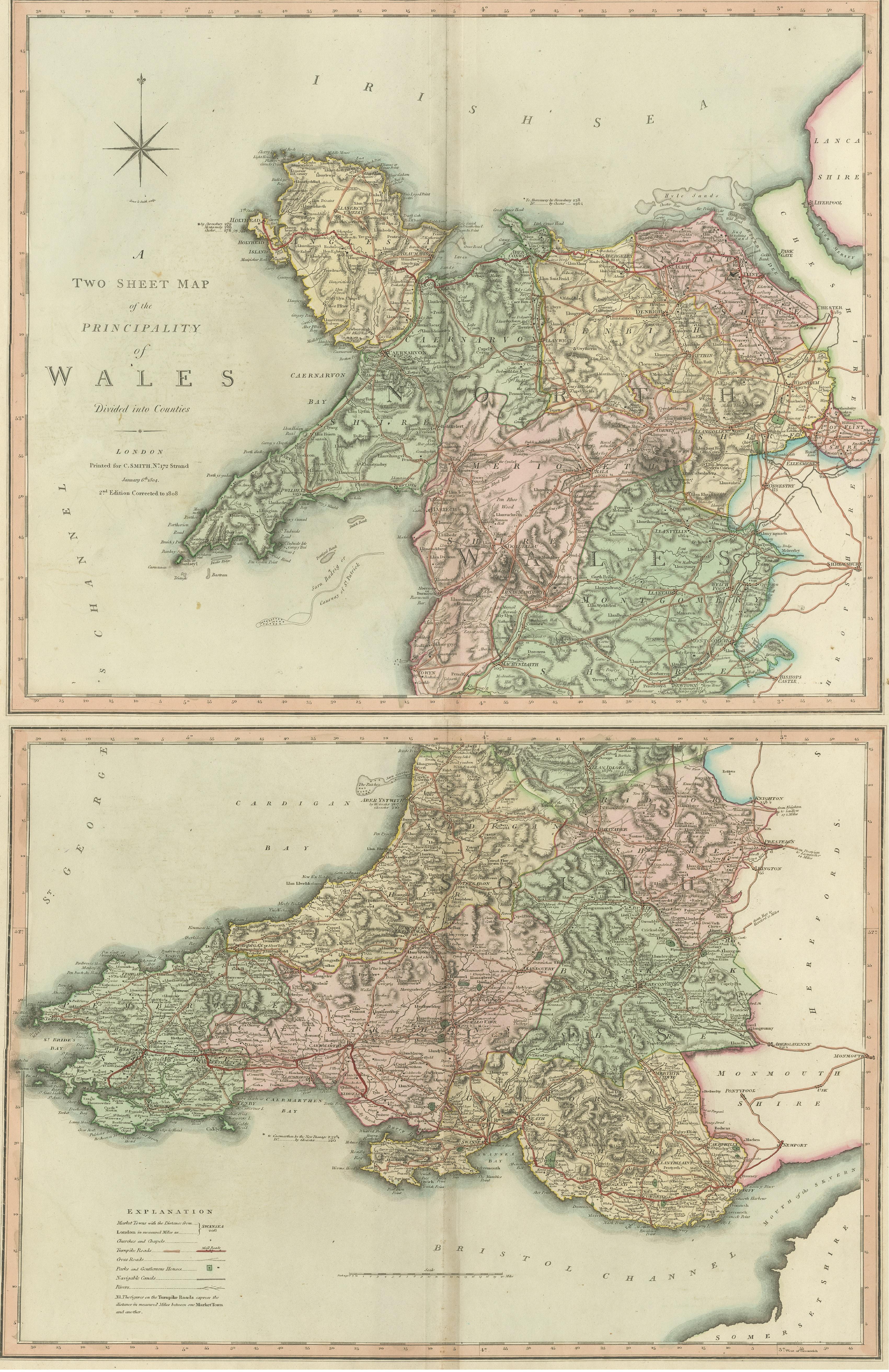
Two Sheet Map of the Principality of Wales Divided into Counties, 1804
€ 550
One of a kind: this is the sheet in the photographs. Ships from Langweer, the Netherlands.
Date
1804
Technique
Engraved
Sheet size
54 × 64 cm (21.3 × 25.2 in)
Condition
Good
Reference
BG-12924-4 & 5
Condition
General age-related toning. Two small brown spots on the top sheet and light offset on the second, but overall a stunning set in original colors, perfectly fine for framing. Please study image carefully.
About this sheet
A well engraved and detailed large-scale map of Wales, printed on two sheets .
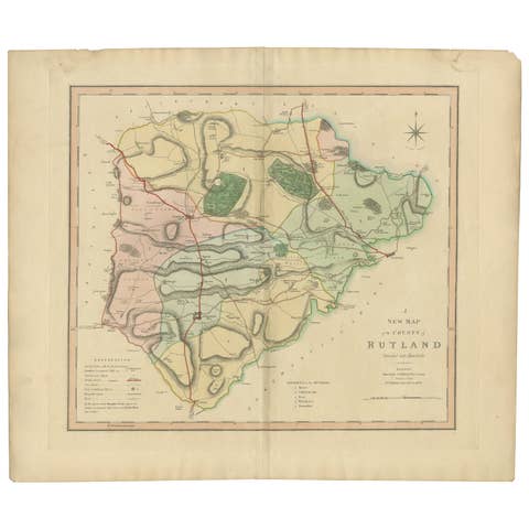
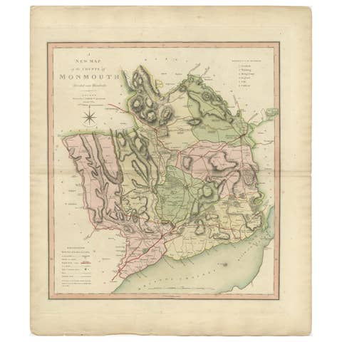
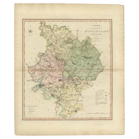
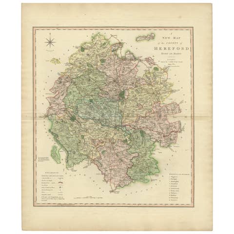
The map is thoroughly detailed and includes good information regarding the turnpike and mail roads as well as distances between market towns and also the canal network. Details shown include the canals, distances between market towns, "gentlemen's houses", and the sandbanks and hidden rocks in Cardigan Bay.
Original outline and wash colour defines the county's hundreds which are also listed in a numbered key.
The map first appeared in Smith's "New English Atlas Being A Complete Set of County Maps". Smith was a stationer and mapseller working in the Strand, London, from about 1800 onwards and continued the standard set by John Cary for precise, detailed maps, finely produced and without the embellishments of the previous century.
The maps from his county atlas set a new standard for their presentation and execution with the skilful fashion in which the wealth of cartographic detail has been compressed into the folio sheet. These maps justly met with great commercial success, being re-issued in atlas form and as folding maps into the 1860's.
With attractive colour the map has light, but negligible, centrefold discolouration.