Maps & PrintsBartele Gallery · Langweer
Home / Antique Maps / Asia / South-East Asia / East Indies

East Indies · 18th century

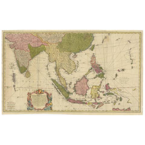
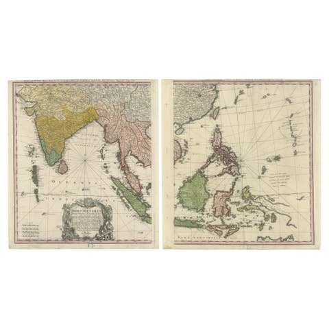
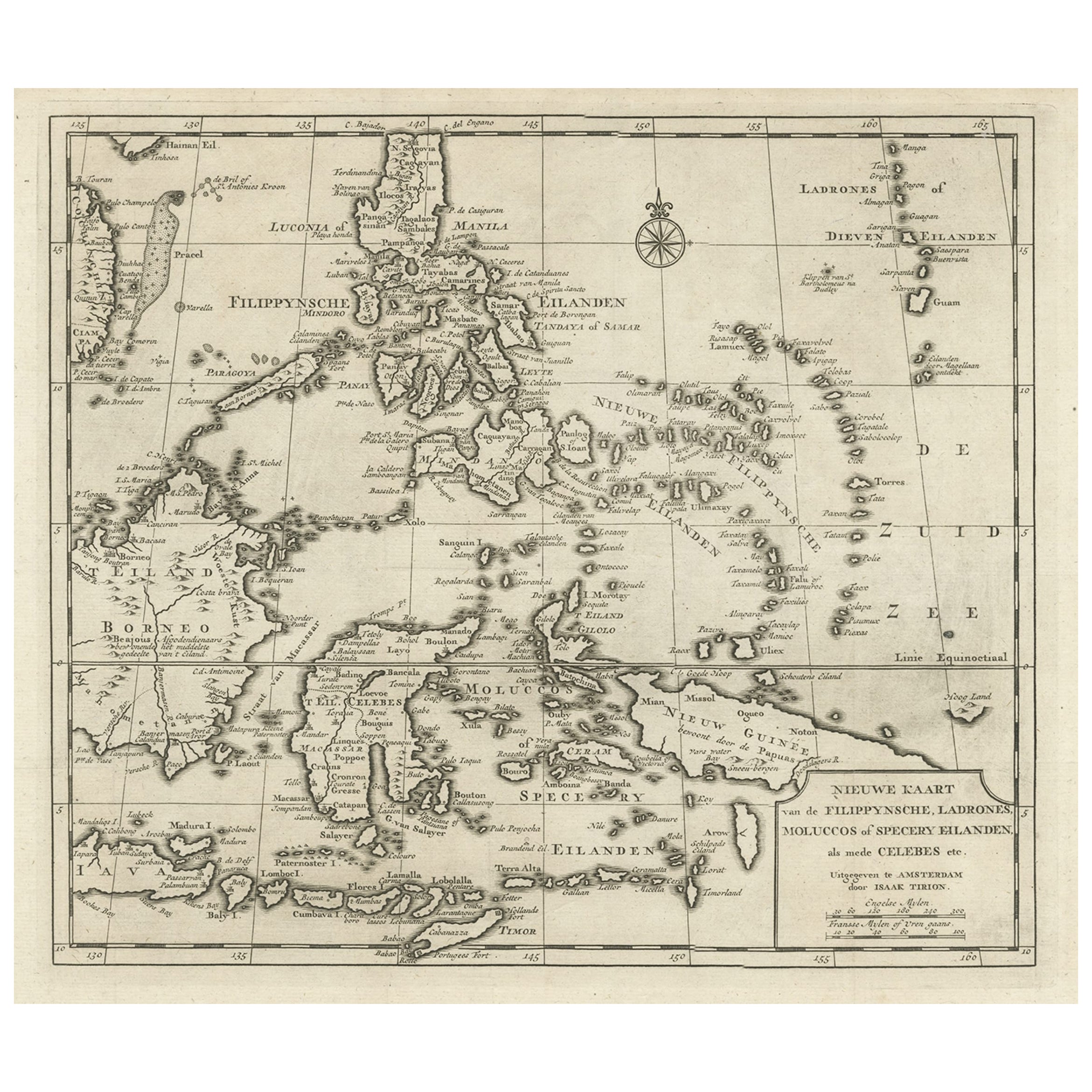
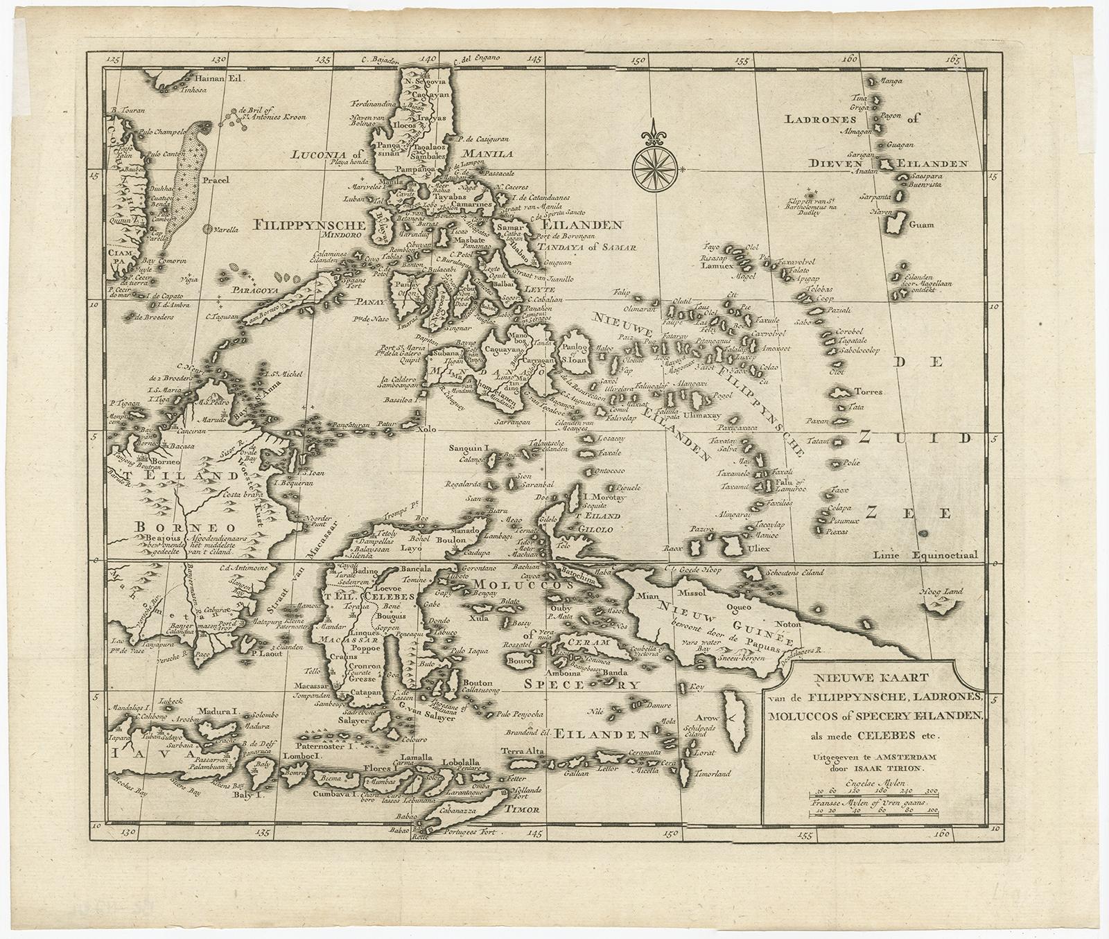
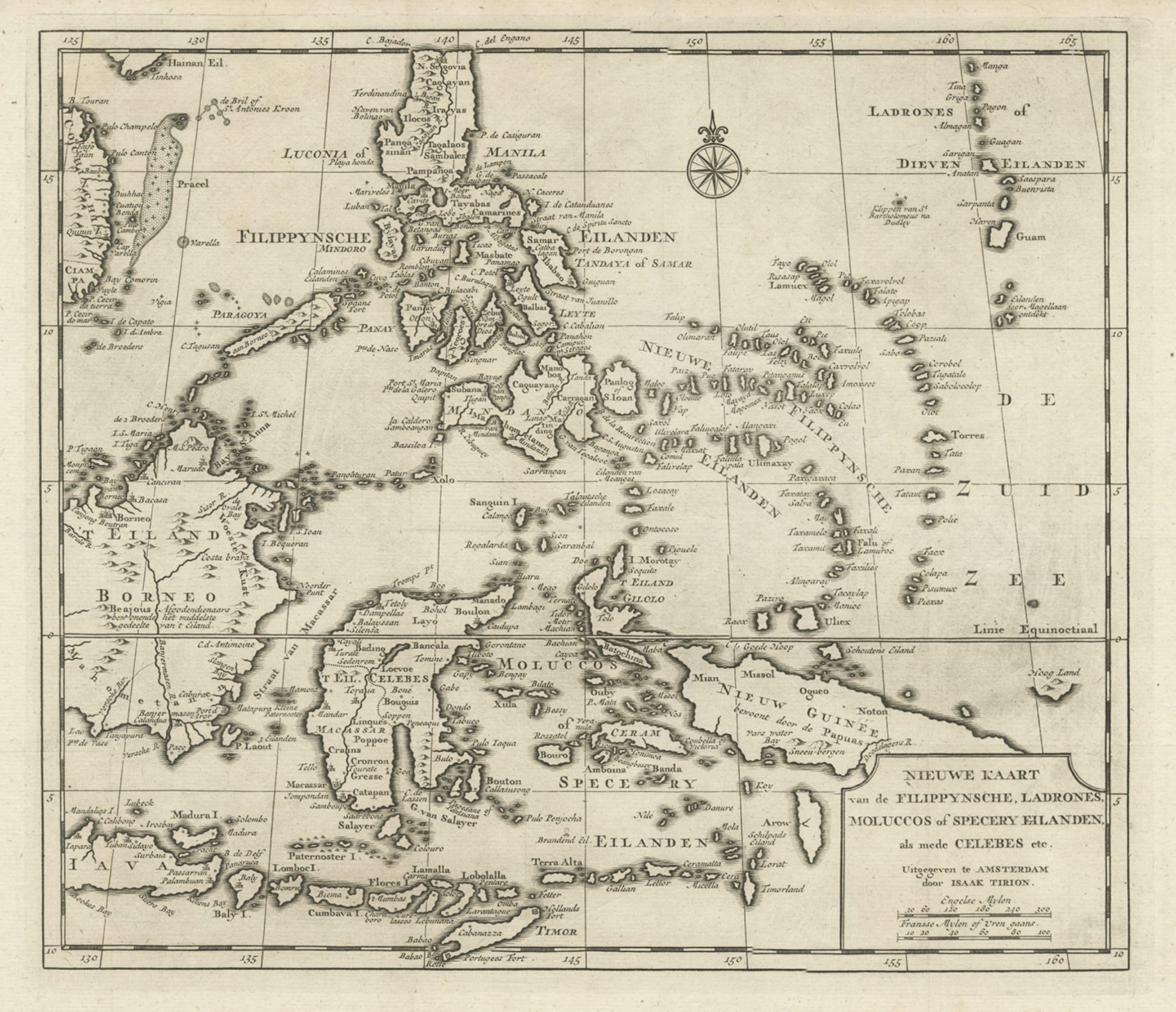
Old Map of the Philippines and Part of Indonesia 'Spice Islands', 1744

€ 660

Original antique · The actual sheet photographed · Certificate of authenticity on request · Sold unframed · Worldwide shipping from € 15 (rates)

Date
1744
Sheet size
33.5 × 40 cm (13.2 × 15.7 in)
Reference
BG-11746

Condition

Very good. Please review the images for further condition details.
About this sheet

Antique map titled 'Nieuwe Kaart van de Filippynsche, Ladrones, Moluccos of Specery Eilanden, als mede Celebes etc'.

Old map of the Philippines and part of Indonesia. Originates from 'Nieuwe Hand-Atlas, bestaande in eene Verzameling van eenige naauwkeurige Landkaarten (..)'.

Artists and Engravers: Published by I. Tirion, Amsterdam.

More from East Indies

Ask about this sheet

Old Map of the Philippines and Part of Indonesia 'Spice Islands', 1744
1744 · Ref. BG-11746 · € 660
We reply by email, usually within one working day.