Maps & PrintsBartele Gallery · Langweer
Home / Antique Maps / Asia / West Asia & the Holy Land

West Asia & the Holy Land · 17th century

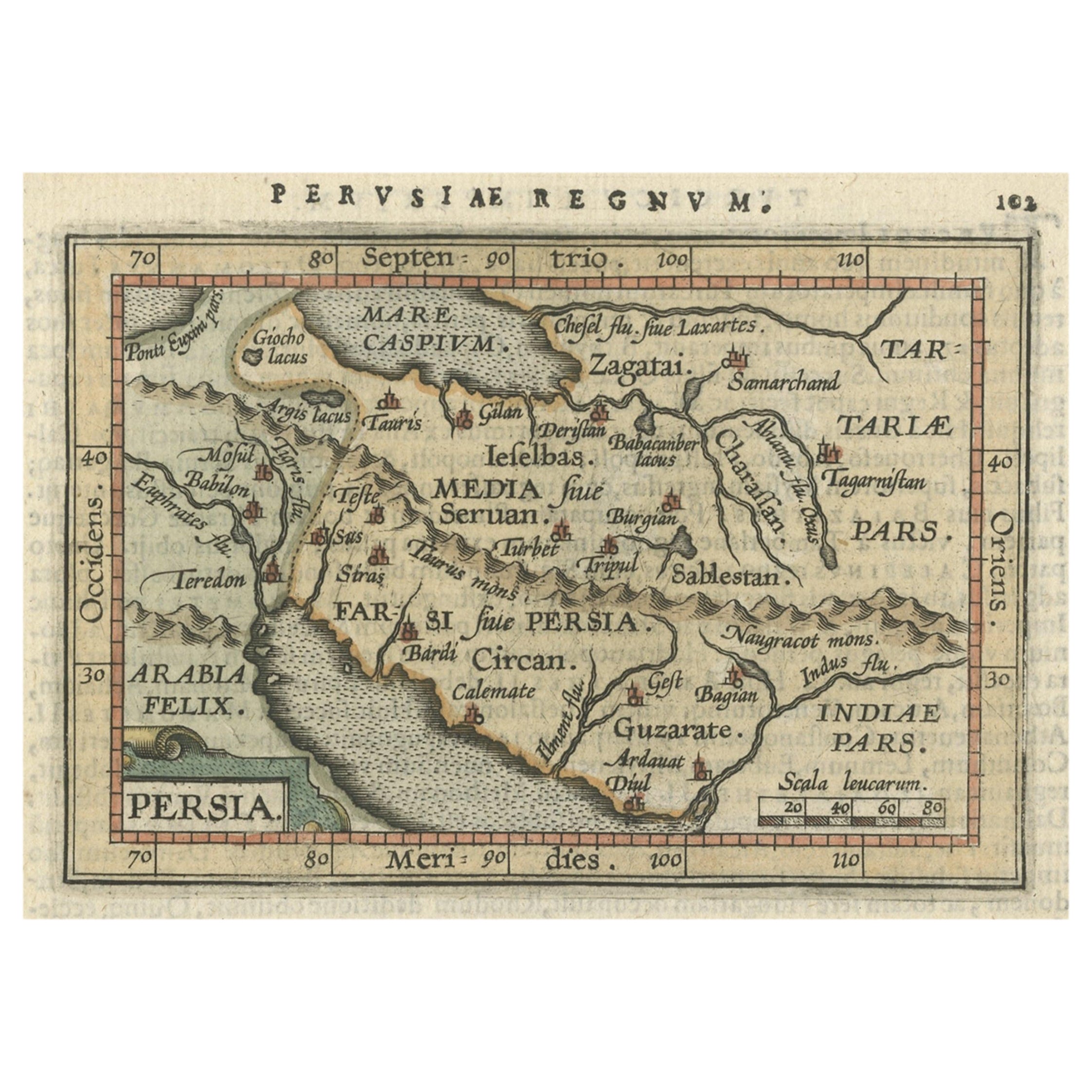
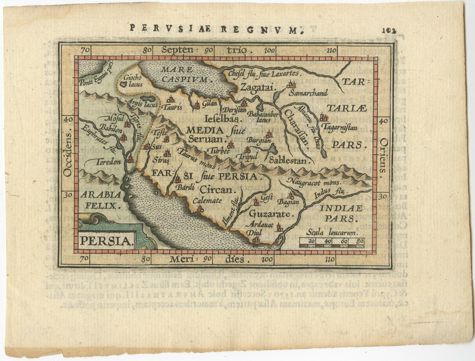
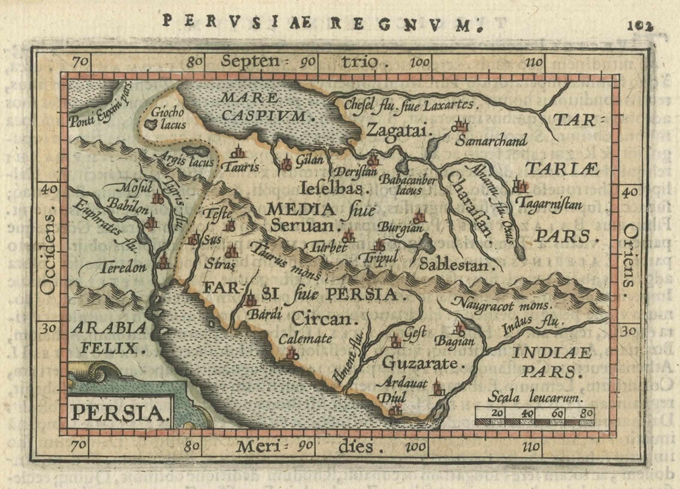
Original Antique Miniature Map of Persia, Published, ca.1601

€ 540

Original antique · The actual sheet photographed · Certificate of authenticity on request · Sold unframed · Worldwide shipping from € 15 (rates)

Date
1601
Sheet size
13 × 17 cm (5.1 × 6.7 in)
Reference
BGJC-090

Condition

Very good, Latin text on verso. Please review the images for further condition details.

About this sheet

Antique miniature map titled 'Persia'. Small map of Persia published in the Epitome, or pocket-edition of the "Theatrum Orbis Terrarum".

Artists and engravers: Abraham Ortelius (1527 -1598) was a Flemish cartographer, cosmographer, geographer and publisher and a contemporary of Gerard Mercator, with whom he travelled through Italy and France. Although it is Mercator who first used the word "Atlas" as a name for a collection of maps, it is Ortelius who is remembered as the creator of the first modern atlas. Theatrum Orbis Terrarum was the first systematically collated set of maps by different map makers in a uniform format. Three Latin editions as well as a Dutch, French and German edition of Theatrum Orbis Terrarum were published by 1572 and a further 25 editions printed before Ortelius' death in 1598. Several more were subsequently printed until around 1612. Ortelius is said to have been the first person to pose the question of the continents once being a single land mass before separating into their current positions.

More from West Asia & the Holy Land

Ask about this sheet

Original Antique Miniature Map of Persia, Published, ca.1601
1601 · Ref. BGJC-090 · € 540
We reply by email, usually within one working day.