Antique Maps
5,418 original sheets
Europe 3023Asia 1110Africa 236America 548Australia & Oceania 159World Maps 111Sea Charts 209Celestial Maps 22
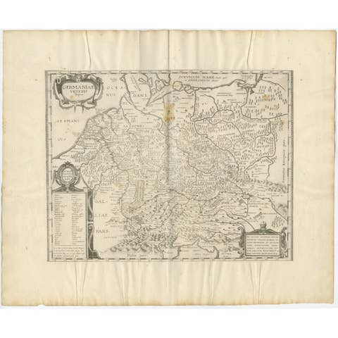
Antique Map of Germany of German in Roman Times, c.1660
1660 · € 850
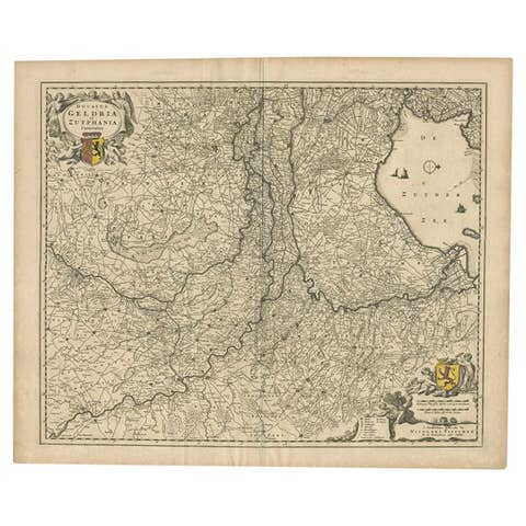
Antique Map of the Dutch Province of Gelderland by Visscher, c.1670
1670 · € 620
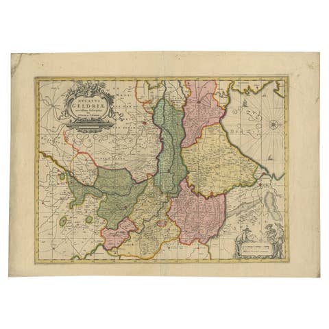
Antique Map of the Province of Gelderland, the Netherlands, c.1690
1690 · € 499
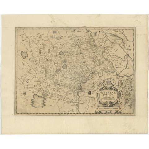
Antique Map of the Dutch Province of Gelderland with Zutphen as Capital, C.1650
1650 · € 310

Antique Map of Gelderland, Largest Province of The Netherlands, c.1870
1870 · € 110
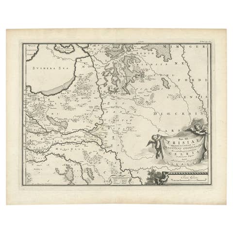
Antique Map of the Dutch Province of Gelderland, 1725
1725 · € 128
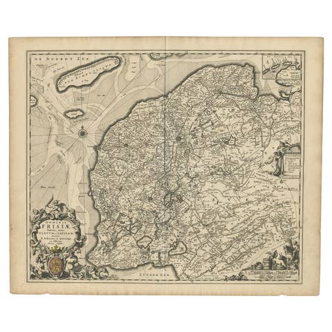
Beautiful First State Map of Friesland, the Netherlands, c.1665
1665 · € 875
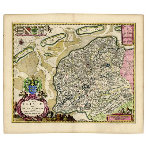
Antique Map of Friesland with Four Coats of Arms, 1664
1664 · € 1 450
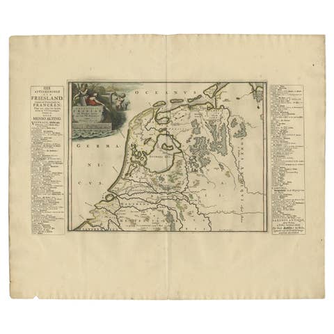
Antique Map of Friesland in the Time of the Franks, 1718
1718 · € 230
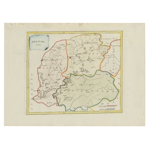
Antique Map of Friesland by Von Reilly, 1791
1791 · € 193
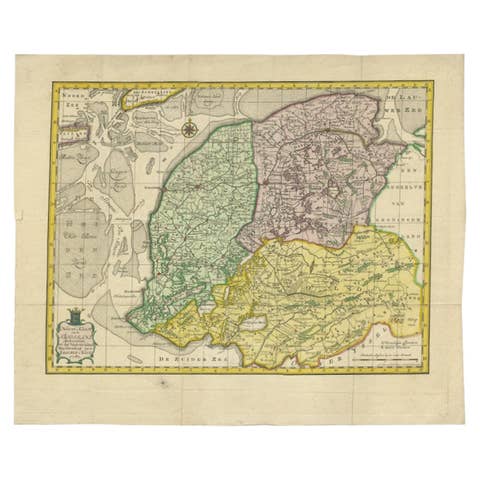
Antique Map of Friesland by Van Krevelt, 1787
1787 · € 459
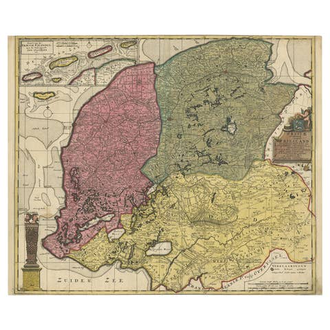
Detailed Map of Friesland, Groningen and Drenthe, The Netherlands, 1706
1706 · € 950
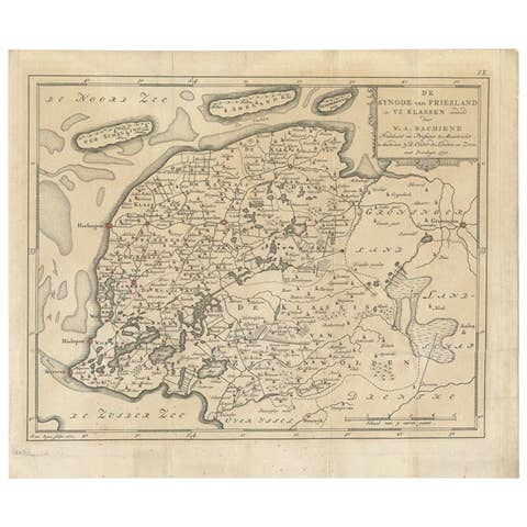
Antique Map of Friesland in the Netherlands, 1770
1770 · € 150
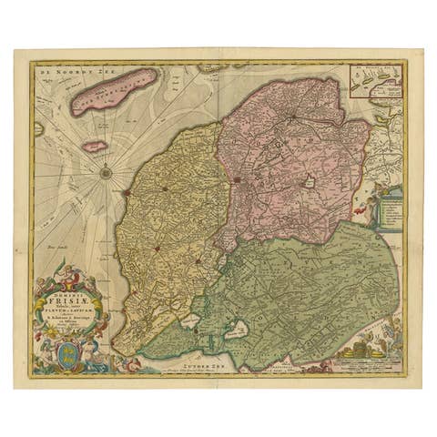
Antique Map of Friesland, A Dutch Province, c.1780
1780 · € 950
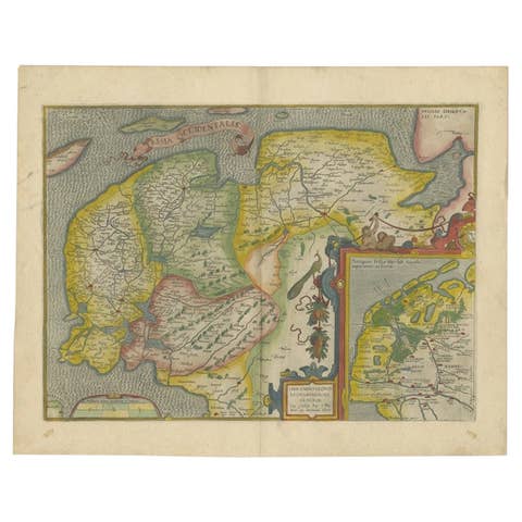
Antique Map of Friesland Also Know as the Peacock Map, C.1580
1580 · € 1 650
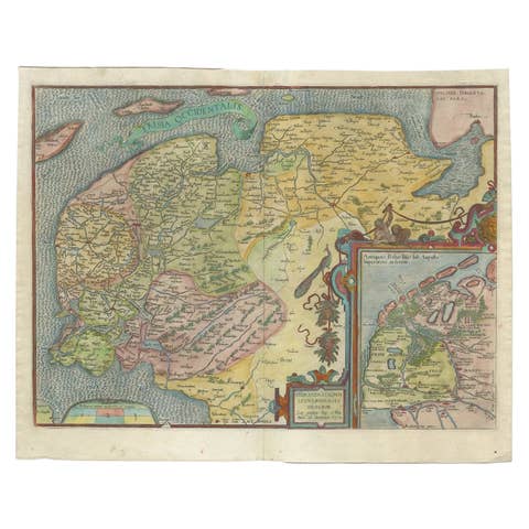
Old Antique Map of the Province of Friesland, the Netherlands, c.1580
1580 · € 950
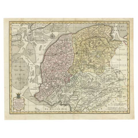
Antique Map of Province Friesland, The Netherlands, 1787
1787 · € 428
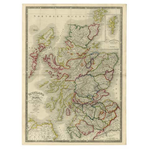
Antique Map of Scotland With an Inset Map of the Shetland Islands, 1854
1854 · € 1 250
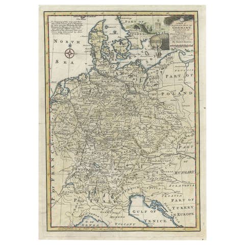
Antique Map of Germany During the Mid-18th Century, Published in 1747
1747 · € 210
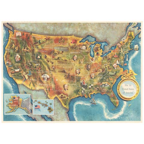
American Election Map and 1960 Presidential Fact Sheet, Published 1960
1960 · € 600
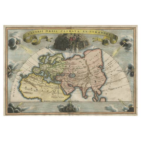
Veteris Orbis Climata – Ancient World Map after Strabo by Cellarius, 1731
1731 · € 450
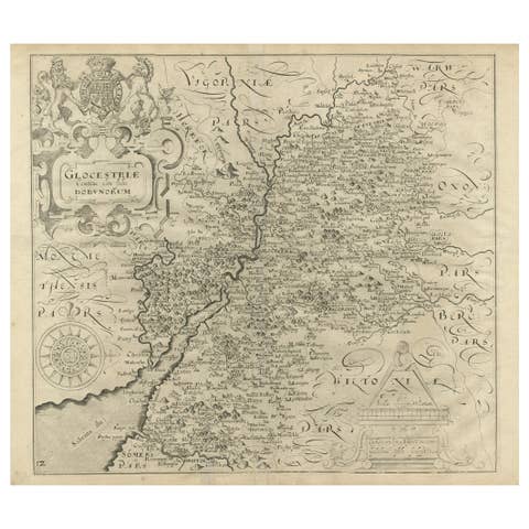
Antique Map of Gloucestershire in Britain by Camden, 1637
1637 · € 360
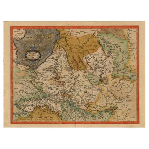
Early Antique Map of Gelderland and Overijssel in the Netherlands, c.1625
1625 · € 650
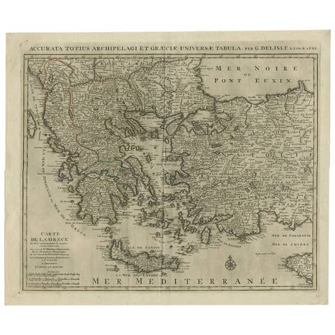
Antique Map of Greece, Albania, Macedonia and Parts of Turkey and Cyprus, c.1745
1745 · € 850
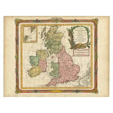
Antique Map of Great Britain and Ireland by Brion de la Tour, 1766
1766 · € 550

Old Map of Ancient Times covering Egypt Towards Arabia and India to Java, c.1660
1660 · € 1 100
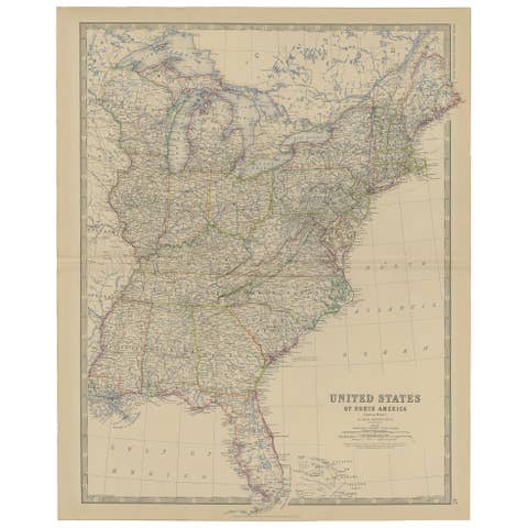
Antique Map of the United States of North America, c.1882
1882 · € 350
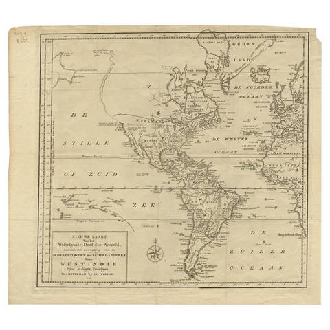
Excellent Antique Map of America with Unusual Northwest Coast of America, c.1754
1754 · € 575

Antique Map of the World with California as an Island, 1788
1788 · € 650

Antique Engraved Map of Italy in Roman Times, ca.1730
1730 · € 680
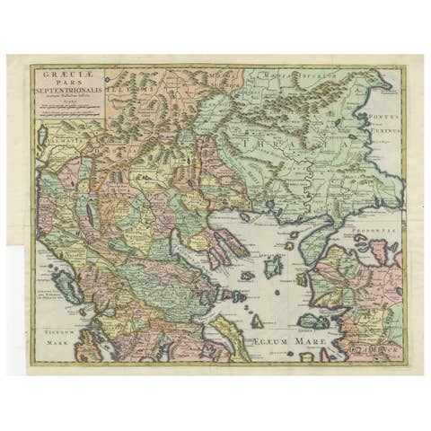
Antique Engraved Map of the Northern Part of Greece and the Aegean Sea, Ca.1730
1730 · € 650

Antique Map of The Siege of Gennep, the Netherlands, c.1650
1650 · € 240
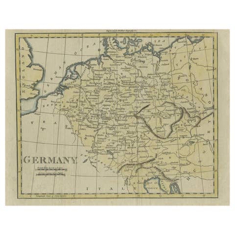
Antique Map of Germany from an Old English Atlas, c.1802
1802 · € 130
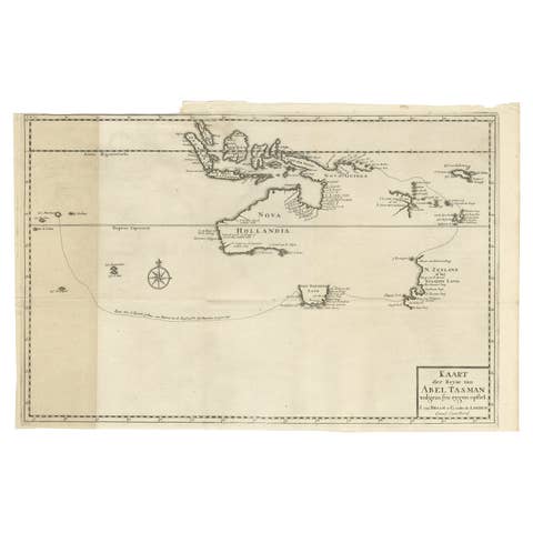
Early Map of Australasia, Marking The Route of Abel Tasman in 1642 'Publ. 1726'
1642 · € 8 500
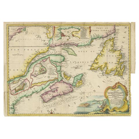
Antique Map Dedicated to British Merchants Trading to North America, ca.1746
1746 · € 850
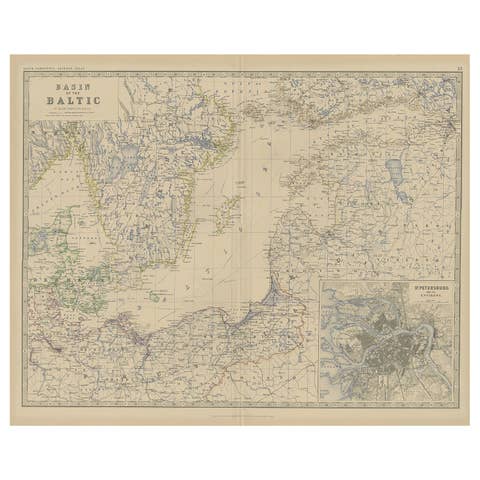
Old Map of the the Baltic Sea Region, Inset of St. Petersburg, 1882
1882 · € 350
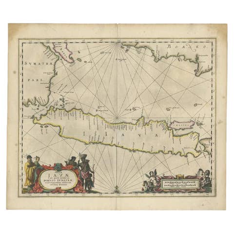
Antique Map of Java and Part of Borneo, Indonesia, c.1657
1657 · € 2 750
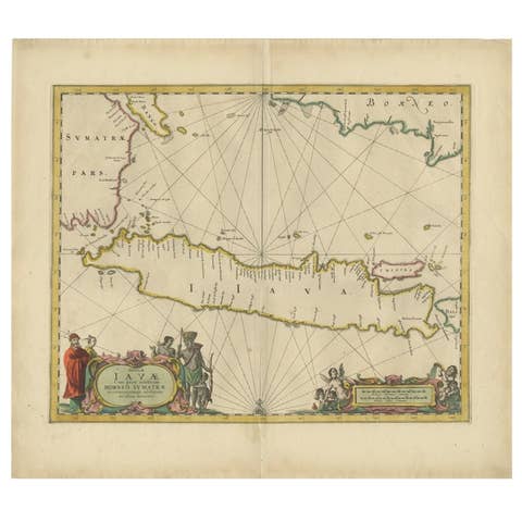
Antique Map of the Island Java, Indonesia, c.1650
1650 · € 3 250
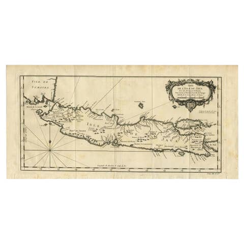
Antique Map of Java and Madura Island, Indonesia, c.1760
1760 · € 450
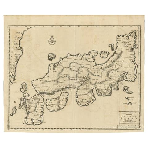
Rare Antique Map of Japan with Place Names Given in Dutch Nomenclature, 1726
1726 · € 2 250
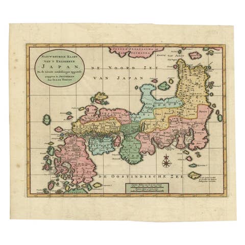
Antique Map of Japan with Scale and Compass Rose, c.1730
1730 · € 900
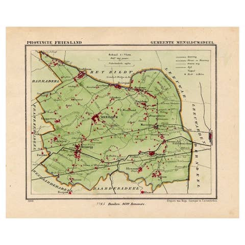
Antique Map of Menaldumadeel, Township in Friesland, The Netherlands, 1868
1868 · € 123
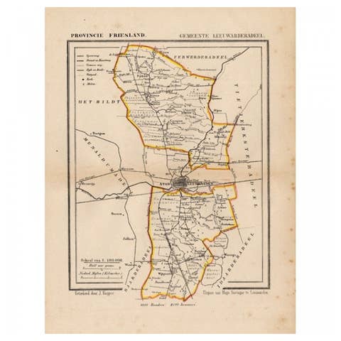
Antique Map of Leeuwarderadeel, Township in Friesland, The Netherlands, 1868
1868 · € 138
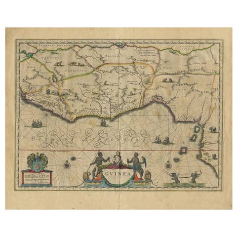
Antique Map of Guinea in West Africa by Blaeu, c.1638
1638 · € 550
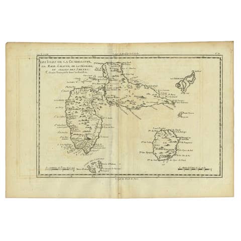
Antique Map of Guadeloupe with Les Saintes, Grand Bourg and La Désirade, c.1780
1780 · € 280
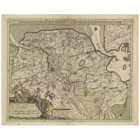
Antique Map of the Province Groningen in The Netherlands, c.1680
1680 · € 490
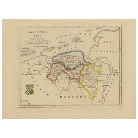
Antique Map of Groningen by Veelwaard, c.1865
1865 · € 95
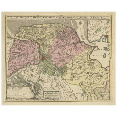
Antique Map of the Province of Groningen in the Netherlands, c.1700
1700 · € 850