

Maps & PrintsBartele Gallery · Langweer
Home / Antique Maps / Europe / Western Europe / The Netherlands & Belgium / Town Plans of Friesland

Town Plans of Friesland · 19th century

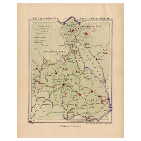
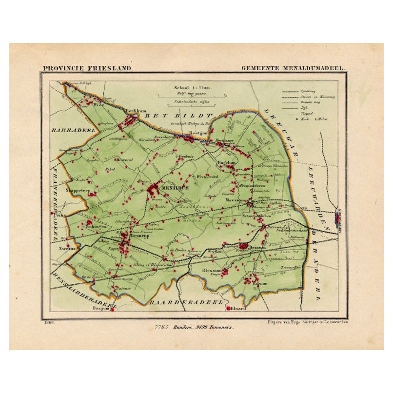
Antique Map of Menaldumadeel, Township in Friesland, The Netherlands, 1868

€ 123

Original antique · The actual sheet photographed · Certificate of authenticity on request · Sold unframed · Worldwide shipping from € 15 (rates)

Date
1868
Sheet size
24 × 19 cm (9.4 × 7.5 in)
Reference
PCT-15892

Condition

Fine; occasional foxing as visible on the scans; sheet irregularly cut, not affecting image. Please review the images for further condition details.
About this sheet

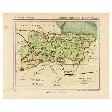
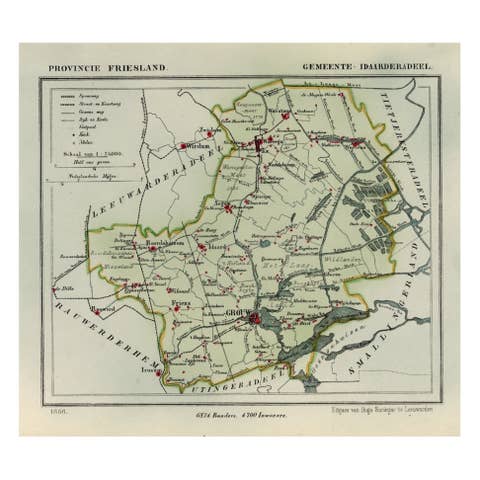
Antique map titled 'Provincie Friesland - Gemeente Menaldumadeel'.

Map of the township of Menaldumadeel including Menaldum, Deinum, Boxum and many other villages. This map originates from 'Gemeente-Atlas van Nederland' by J. Kuyper. Published by H. Suringar.

Condition: Fine; occasional foxing as visible on the scans; sheet irregularly cut, not affecting image. Please study image carefully.
Date: 1868

Overall size: 24 x 19 cm.
Image size: 19.5 x 16.5 cm.

More from Town Plans of Friesland

Ask about this sheet

Antique Map of Menaldumadeel, Township in Friesland, The Netherlands, 1868
1868 · Ref. PCT-15892 · € 123
We reply by email, usually within one working day.