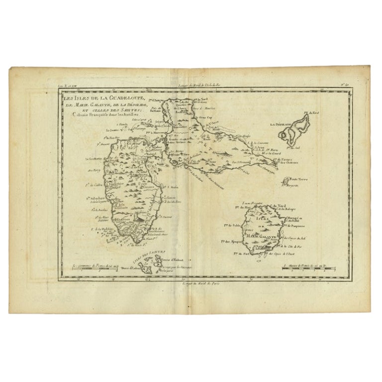
Antique Map of Guadeloupe with Les Saintes, Grand Bourg and La Désirade, c.1780
€ 280
Original antique · The actual sheet photographed · Certificate of authenticity on request · Sold unframed · Worldwide shipping from € 15 (rates)
Date
1780
Sheet size
26 × 38 cm (10.2 × 15.0 in)
Condition
Good
Reference
PCT-61575
Condition
Given age. Slight discolouration of paper. Light offsetting. Original middle fold as issued. General age-related toning and/or occasional minor defects from handling. Please review the images for further condition details.
About this sheet
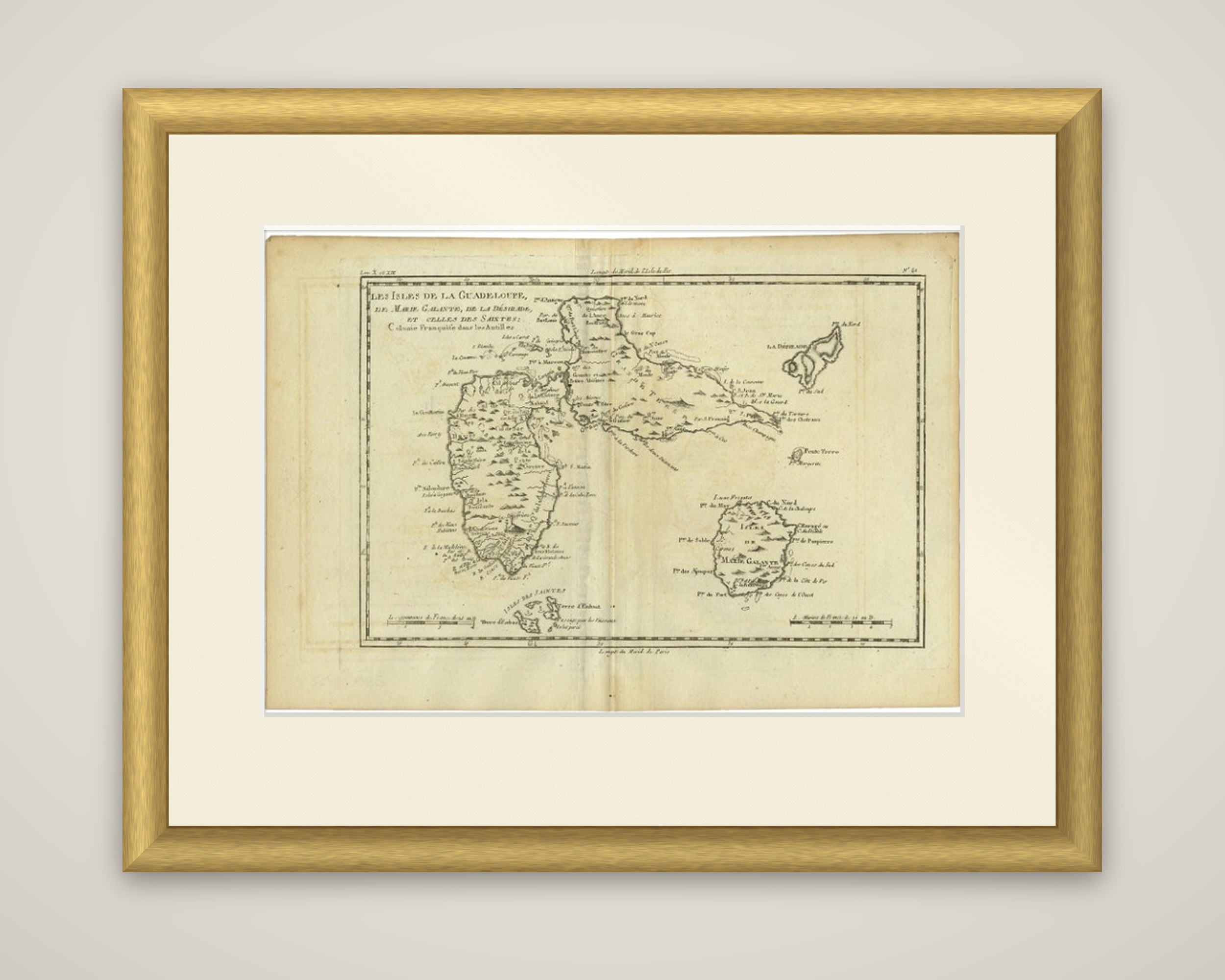
Les Isles de la Guadeloupe, de Marie Galante, de la Désirade, et celles des Saintes, Colonie Françoise dans les Antilles, an original copper engraving by the French royal hydrographer Rigobert Bonne, dating from about 1780. The sheet is uncolored, with the title set in a plain box at the top left.
The main island of Guadeloupe fills the left of the sheet, drawn as the two wings of Basse-Terre and Grande-Terre, divided by the narrow channel at the top. Bays, headlands, rivers and settlements are lettered around the coast, and the hills of Basse-Terre are drawn in hachures. Marie-Galante lies at the lower right, with Les Saintes (Isles des Saintes) in a group below Guadeloupe and La Désirade as a long island at the upper right. Scales in French leagues run along the foot, and the map has a ruled border without a cartouche or compass rose.
Bonne succeeded Jacques Bellin as Royal Cartographer to France at the Dépôt de la Marine in 1773. His maps are known for clear, practical detail, with coastal regions and ports at the center of the work and decoration kept to a minimum.