
Maps & PrintsBartele Gallery · Langweer
Home / Antique Maps / America / North America

North America · 19th century

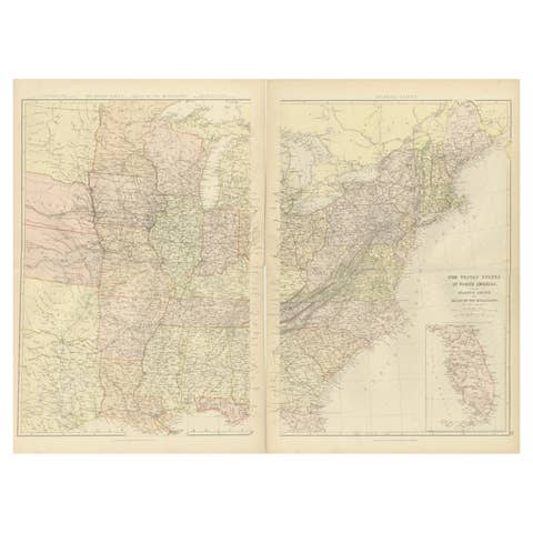
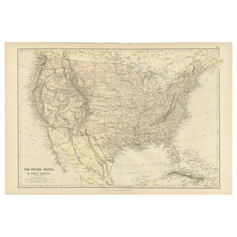
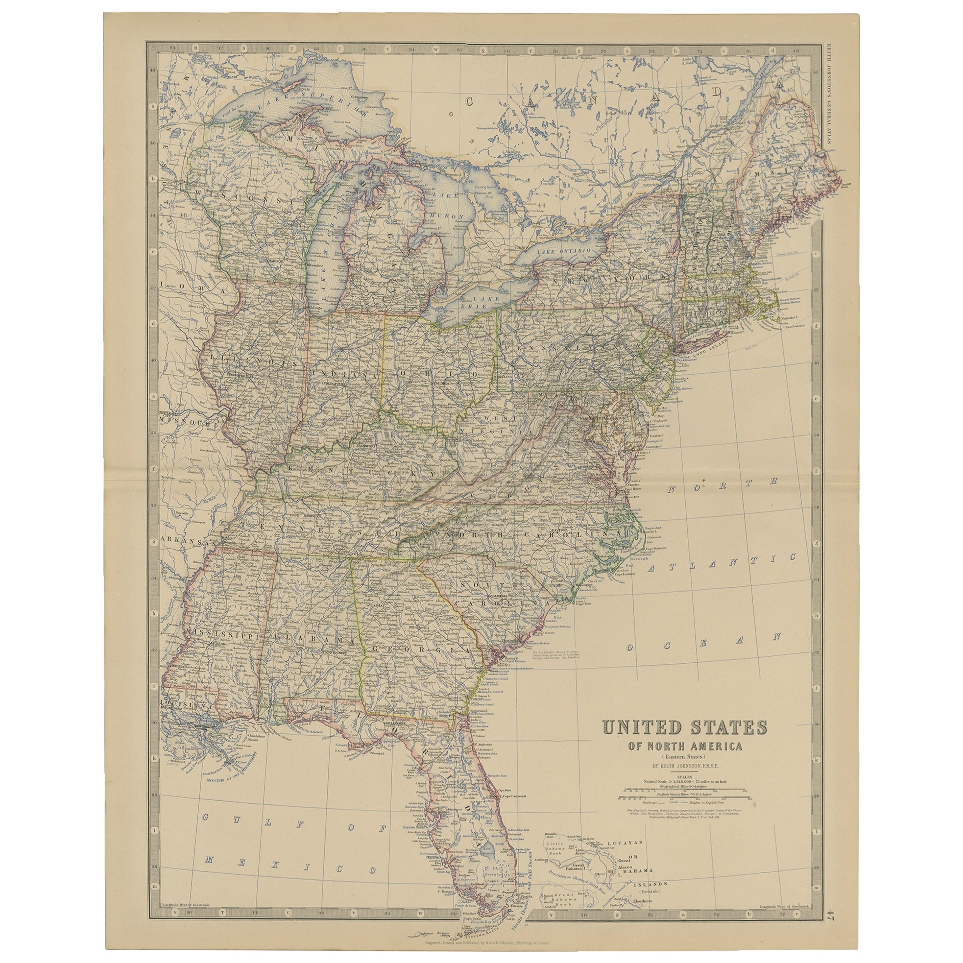
Antique Map of the United States of North America, c.1882

€ 350

Original antique · The actual sheet photographed · Certificate of authenticity on request · Sold unframed · Worldwide shipping from € 15 (rates)

Date
1882
Sheet size
61.5 × 49.5 cm (24.2 × 19.5 in)
Condition
Good
Reference
BG-11823-47

About this sheet

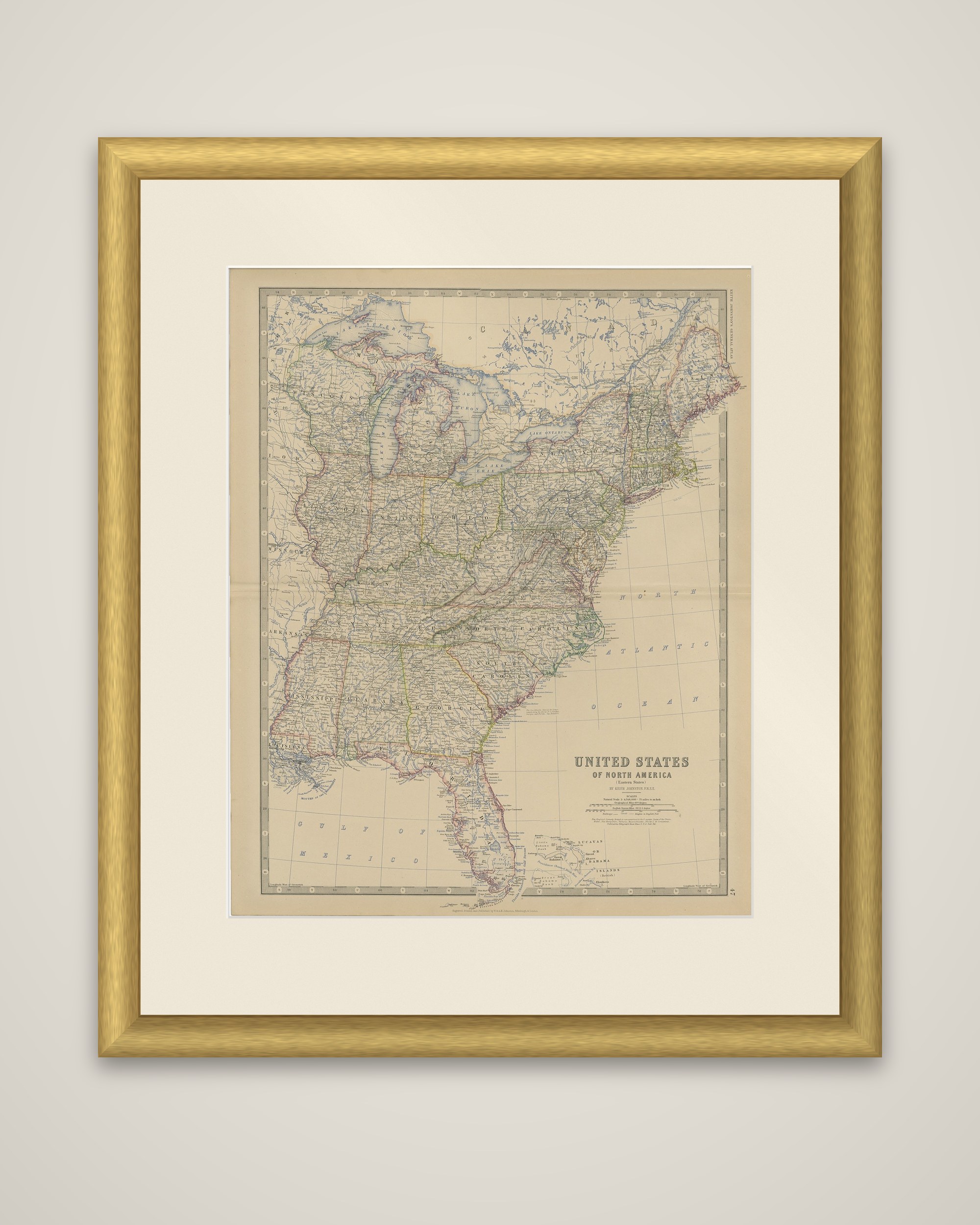
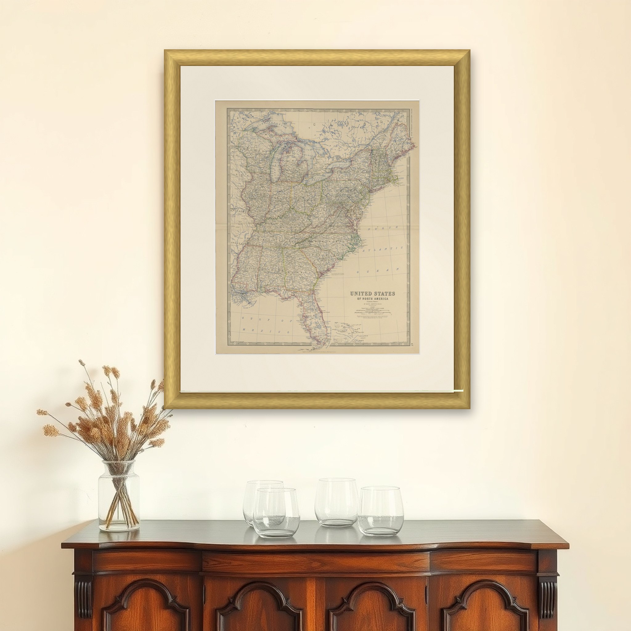
United States of North America (Eastern States), an original antique map from The Royal Atlas of Modern Geography by A. K. Johnston, published by W. and A. K. Johnston in 1882. The sheet is a color-printed atlas map with colored outlines marking the states, and the title is set in the lower right, with the cartographer's name and scales beneath it.

The map covers the country east of the Mississippi and a strip beyond, from the Great Lakes and Lake Superior to Florida and the Gulf of Mexico, with the Bahamas shown at the foot. State boundaries are tinted in contrasting colors, and rivers, county seats, cities and railroads are lettered in fine detail. The Atlantic coast is drawn from Maine to the Florida Keys, and Lake Michigan, Lake Erie and Lake Ontario are clearly rendered. Western Arkansas and Missouri appear at the left edge.

By 1882 the railroad network east of the Mississippi was dense, and the map records the settlement of the Midwest and the South in the years after Reconstruction. The firm of W. and A. K. Johnston of Edinburgh was one of the leading atlas publishers of the period.

More from North America

Ask about this sheet

Antique Map of the United States of North America, c.1882
1882 · Ref. BG-11823-47 · € 350
We reply by email, usually within one working day.