Maps & PrintsBartele Gallery · Langweer
Home / Antique Maps / Sea Charts

Sea Charts · 20th century

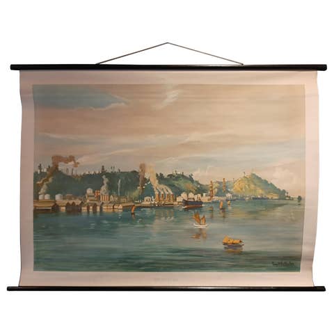
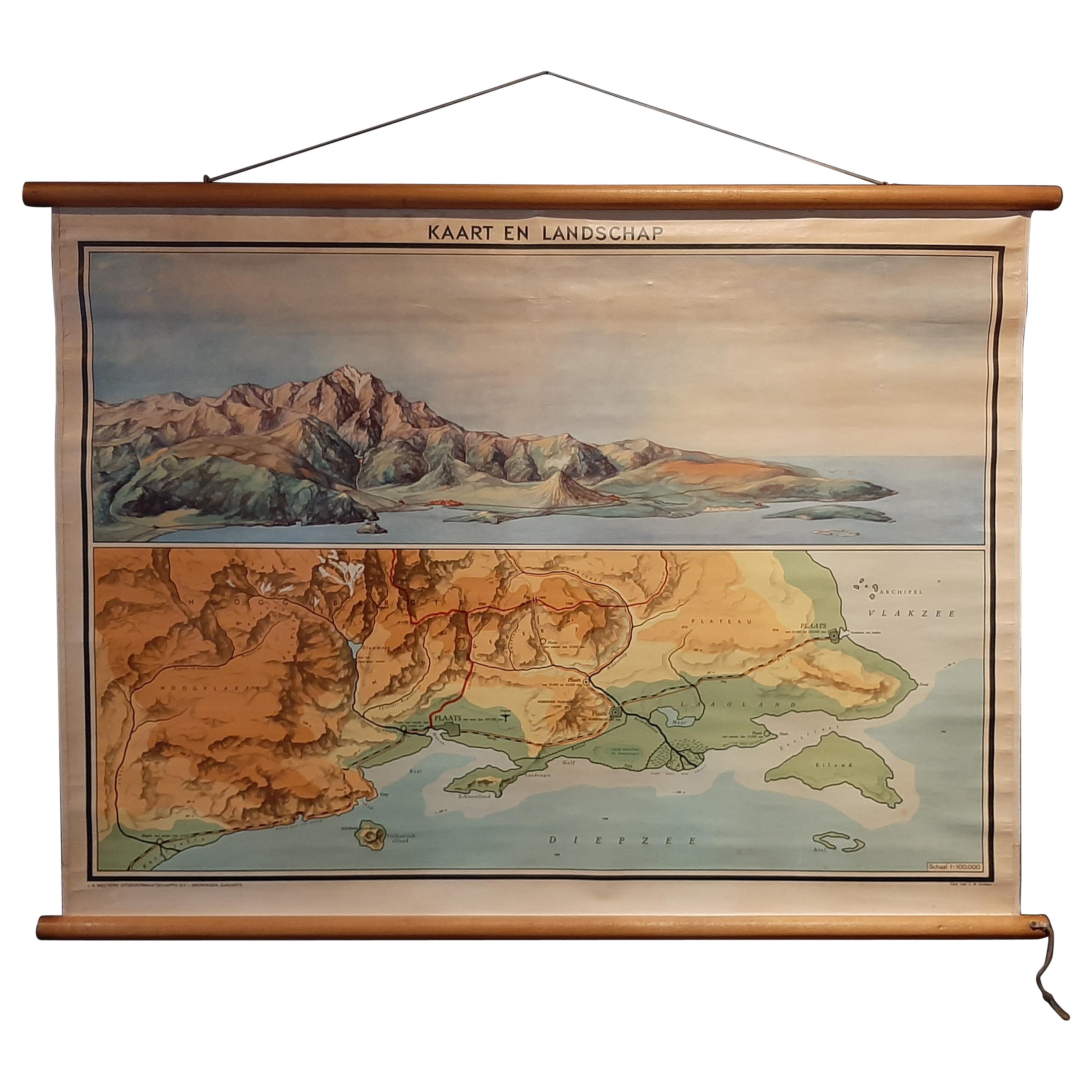
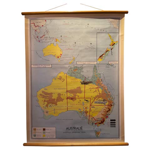
Vintage Wall Chart of a Landscape and Geographic Map, circa 1955

€ 600

One of a kind: this is the sheet in the photographs. Ships from Langweer, the Netherlands.

Date
1955
Sheet size
83 × 116 cm (32.7 × 45.7 in)
Condition
Good

Condition

Backed with linen. Shows some wear. Please study images carefully.
About this sheet

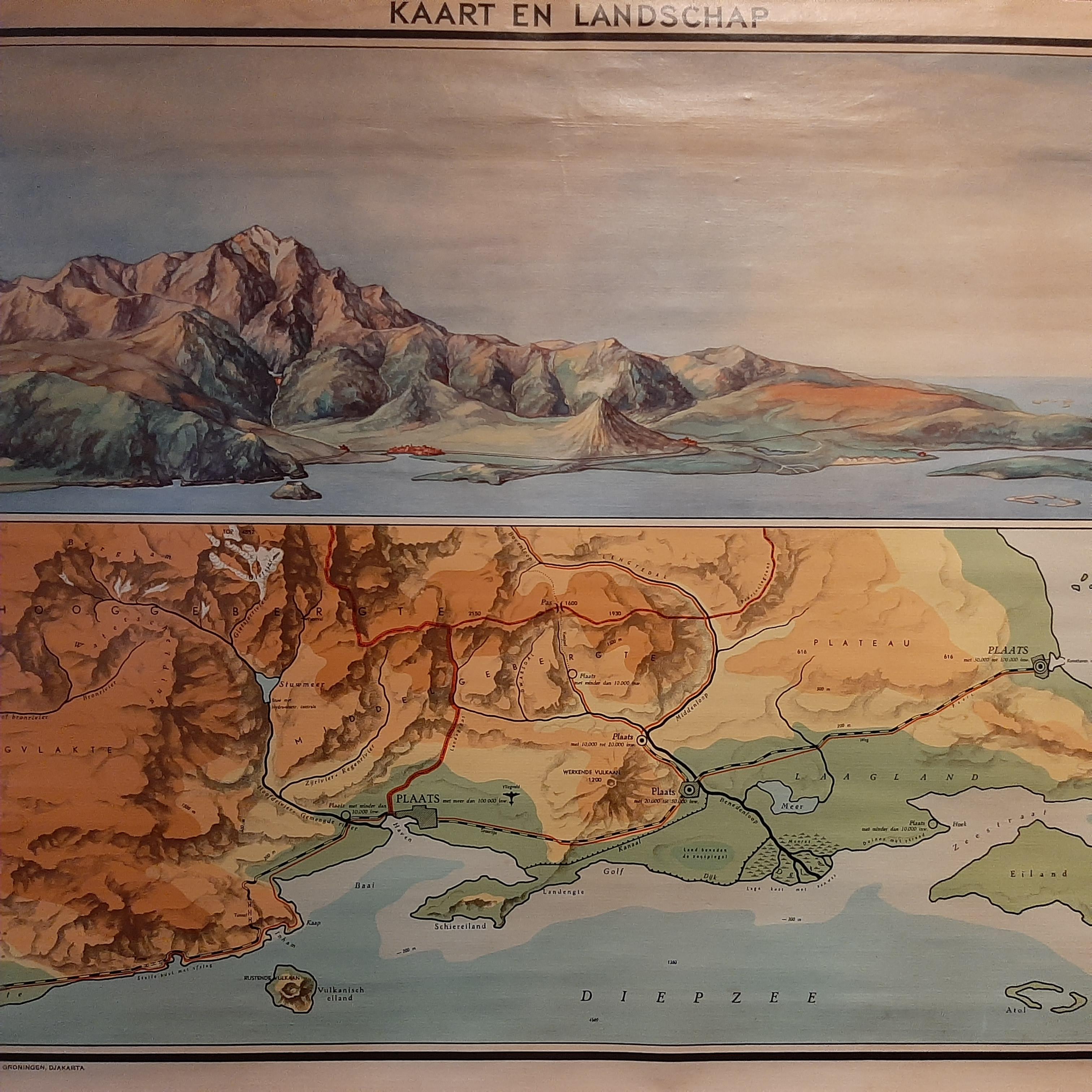
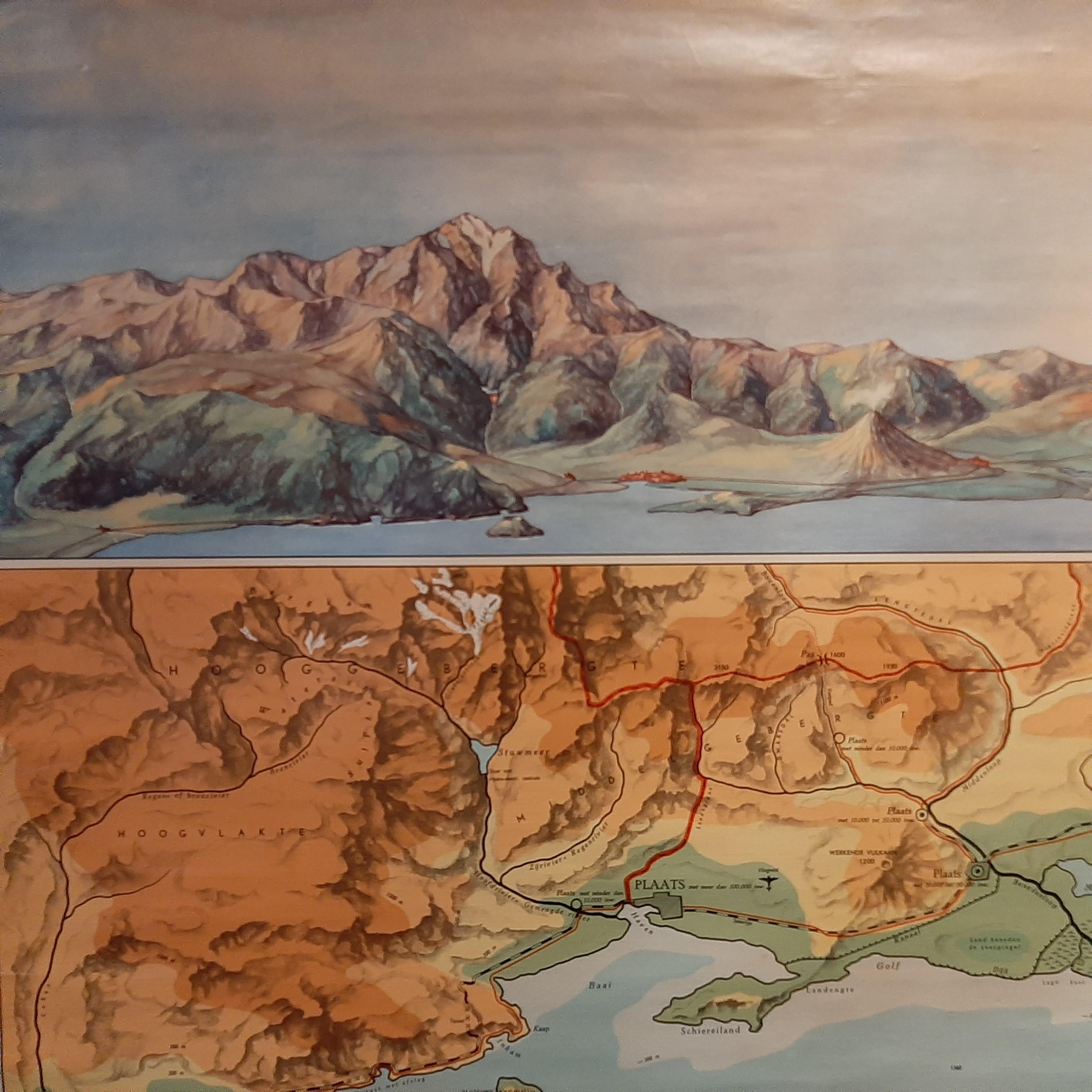
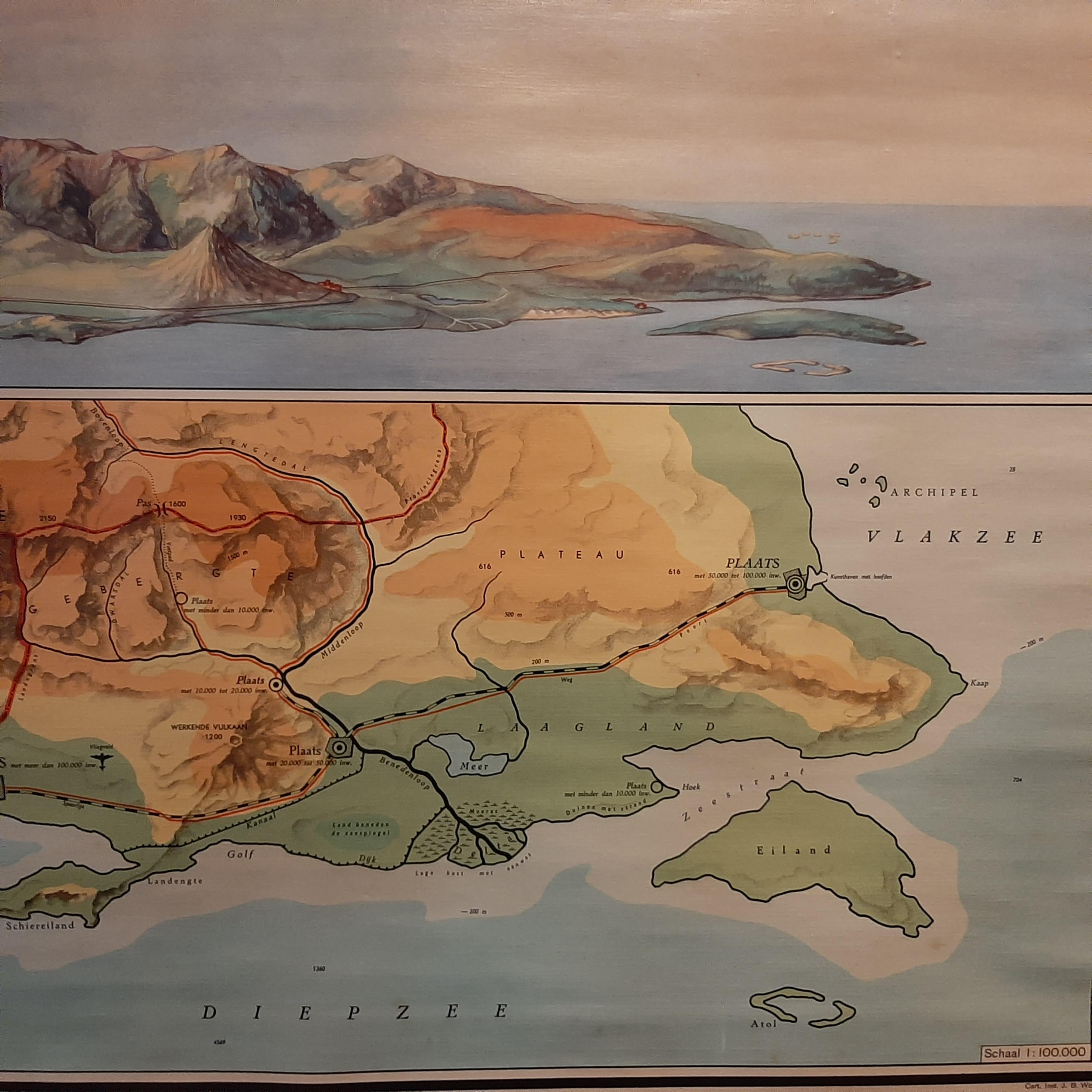
Vintage wall chart titled 'Kaart en Landschap'. This wall chart shows a mountain range and geographic map. Published by J.B. Wolters, circa 1955.

More from Sea Charts

Ask about this sheet

Vintage Wall Chart of a Landscape and Geographic Map, circa 1955
1955 · € 600
We reply by email, usually within one working day.