About this sheet
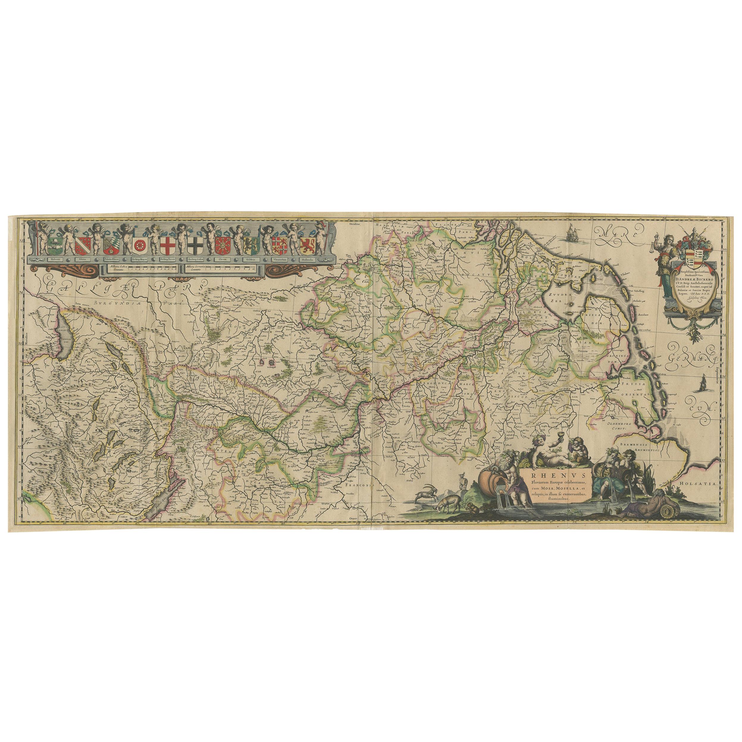
Rhine River & Tributaries Antique Map by Willem Blaeu, c.1640
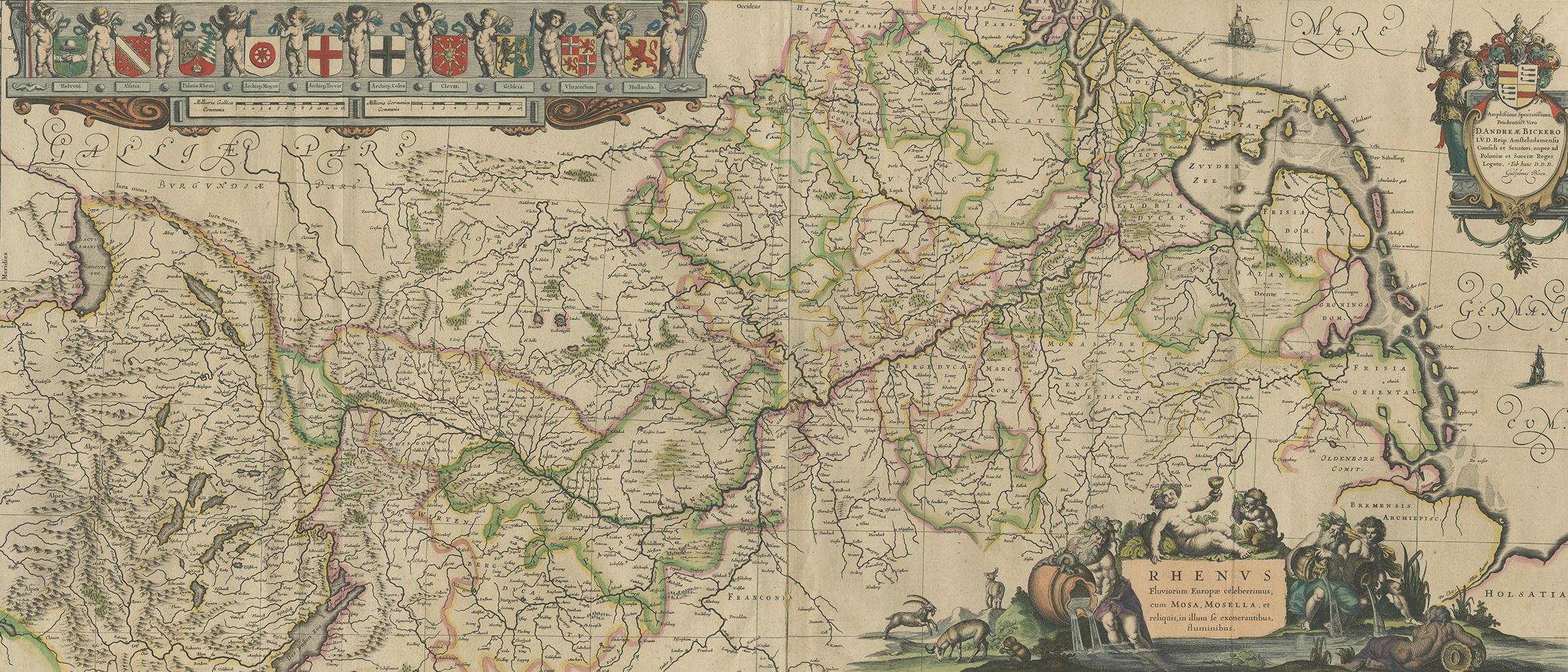
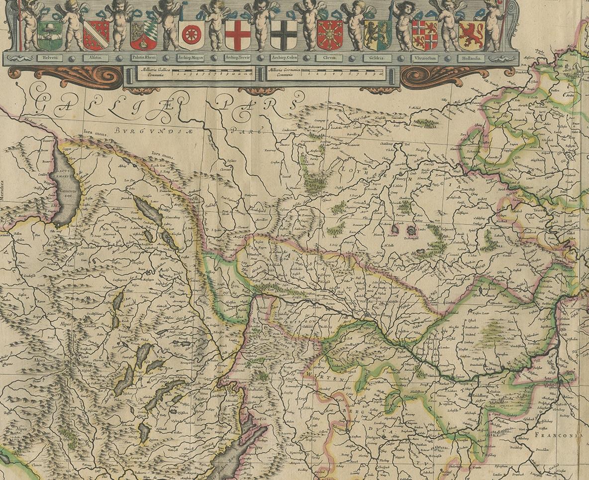
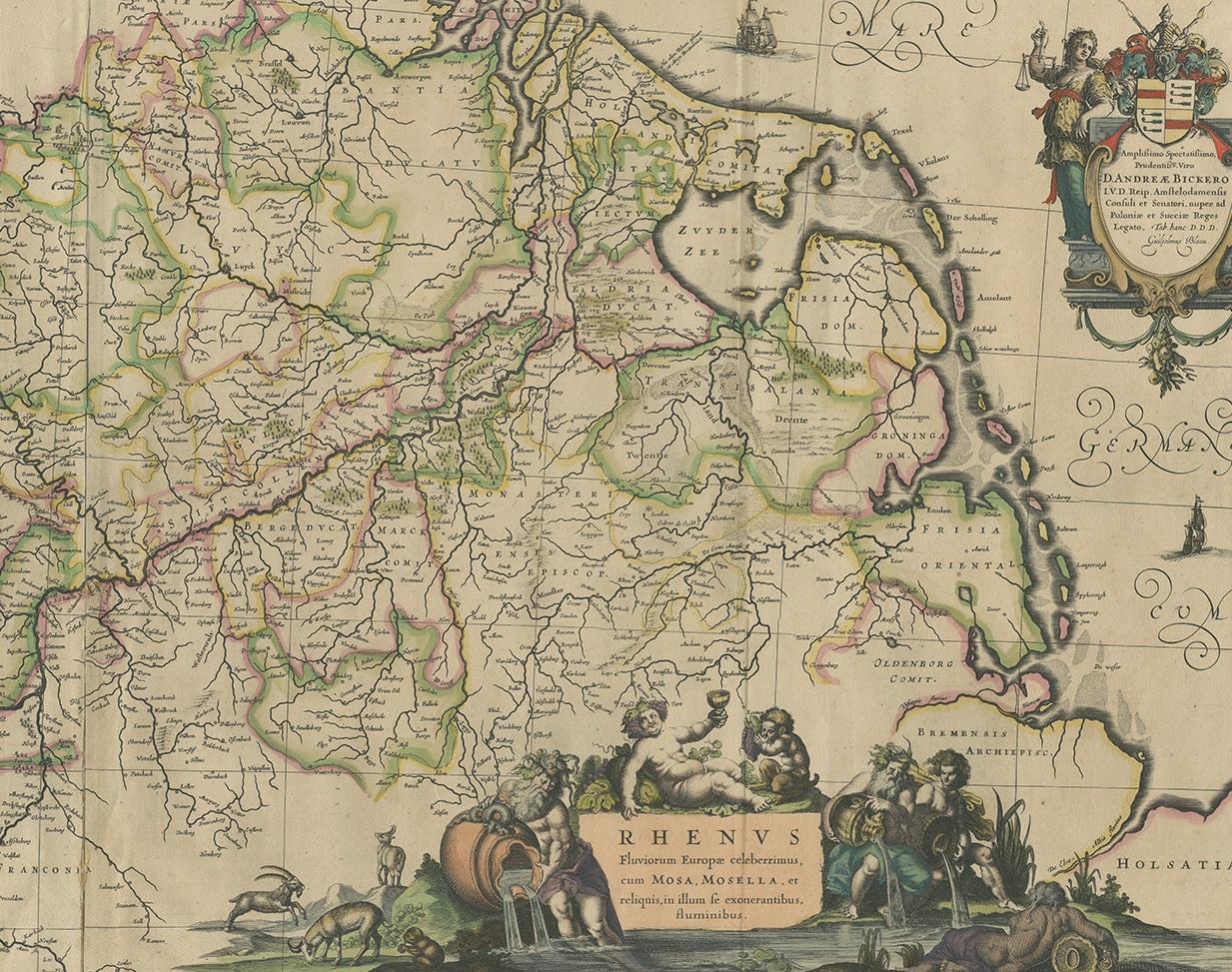
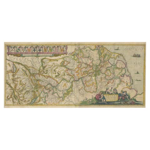
This spectacular mid-seventeenth-century copper-engraved map, titled in Latin “Rhenus Fluviorum Europae celeberrimus, cum Mosa, Mosella, et reliquis, in illum se exonerantibus, fluminibus,” traces the full sweep of the Rhine from its Alpine headwaters near Chur and Lake Constance, down past Basel, Strasbourg, Speyer, Worms, Mainz, Koblenz, Bonn, Cologne, Düsseldorf and Utrecht to its many mouths on the North Sea.
Alongside the main stream appear its great tributaries—the winding Mosel / Moselle, the romantic Neckar, the navigable Main, the Lahn and Ruhr, plus the adjacent Meuse / Maas—offering an almost encyclopaedic survey of western Germany, eastern France, Switzerland, the Rhineland-Palatinate, Baden-Württemberg, Alsace, the Netherlands and adjoining Low Countries. Hills are rendered in delicate hachures, forests in leafy clusters, and scores of fortified towns, castles and abbeys are neatly lettered, making the sheet both a work of art and a valuable historical document.
Cartographer Willem Janszoon Blaeu, the eminent Amsterdam publisher whose workshop defined the Golden Age of Dutch cartography, first issued this plate circa 1640; the present example is an early hand-coloured impression with vibrant original wash.
Orientation is intriguingly rotated, with north at the right margin, a design choice that allows the complete river system to unfurl naturally across the landscape.
Visual drama abounds: a grand dedication cartouche to Amsterdam burgomaster Andreae Bickero is supported by an armoured warrior and a river nymph; at lower left Bacchus and reclining river gods celebrate the fertility of the Rhine valley, watched by woodland animals; along the top margin a parade of putti bear the coats-of-arms of principal provinces—Swabia, Franconia, Bavaria, Alsatia, Helvetia, Geldria and others—creating an elegant heraldic frieze. Such lively allegory, combined with precise hydrography and political boundary colouring, makes this map irresistible to collectors of Blaeu, Rhine River memorabilia, German history, Dutch Golden Age prints, wine-region ephemera and university libraries seeking a teaching exemplar.
Condition report
• Strong, clean impression on lightly toned, sturdy laid paper
• Original centre-fold as issued; faint reinforcement on verso at two tiny separations
• Contemporary hand colour, still bright, with only the gentlest rubbing at extreme sheet edges
• Ample margins all round (approx. 10–15 mm), untrimmed; a few marginal finger-marks and one discreet archival tape guard, none affecting the engraved area
• No foxing, tears or repairs within the image; overall very good collector’s condition for a 380-year-old map
Framing tip summary
Pair the warm, earthy palette of the hand colouring with an off-white or pale ivory acid-free mount and a medium-toned walnut or subtle ebonised fruitwood frame; add a narrow gilt slip if you wish to echo the map’s baroque cartouches. Use UV-filtering museum glass and a sealed, acid-free backing to preserve the pigments and laid paper texture for decades of display.