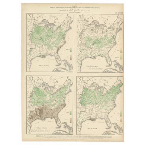
Antique Chart of the Church Accommodation of the United States by Walker, 1874
€ 300
Original antique · The actual sheet photographed · Certificate of authenticity on request · Sold unframed · Worldwide shipping from € 15 (rates)
Date
1874
Sheet size
55 × 41 cm (21.7 × 16.1 in)
Condition
Good
Reference
BG-11875-1
What the condition grades mean
Excellent
Bright and clean, with no faults worth mentioning.
Very good
Only light signs of age, such as faint toning.
Good
Normal signs of age for a sheet of this period: toning, some foxing, small marks or neat old repairs.
Fair
Clear faults such as staining, tears or repairs, priced to match.
Every fault we see is written in the condition note, and the whole sheet is shown uncropped in the photos.
Condition
General age-related toning, minor wear. Blank verso. Please review the images for further condition details.
About this sheet
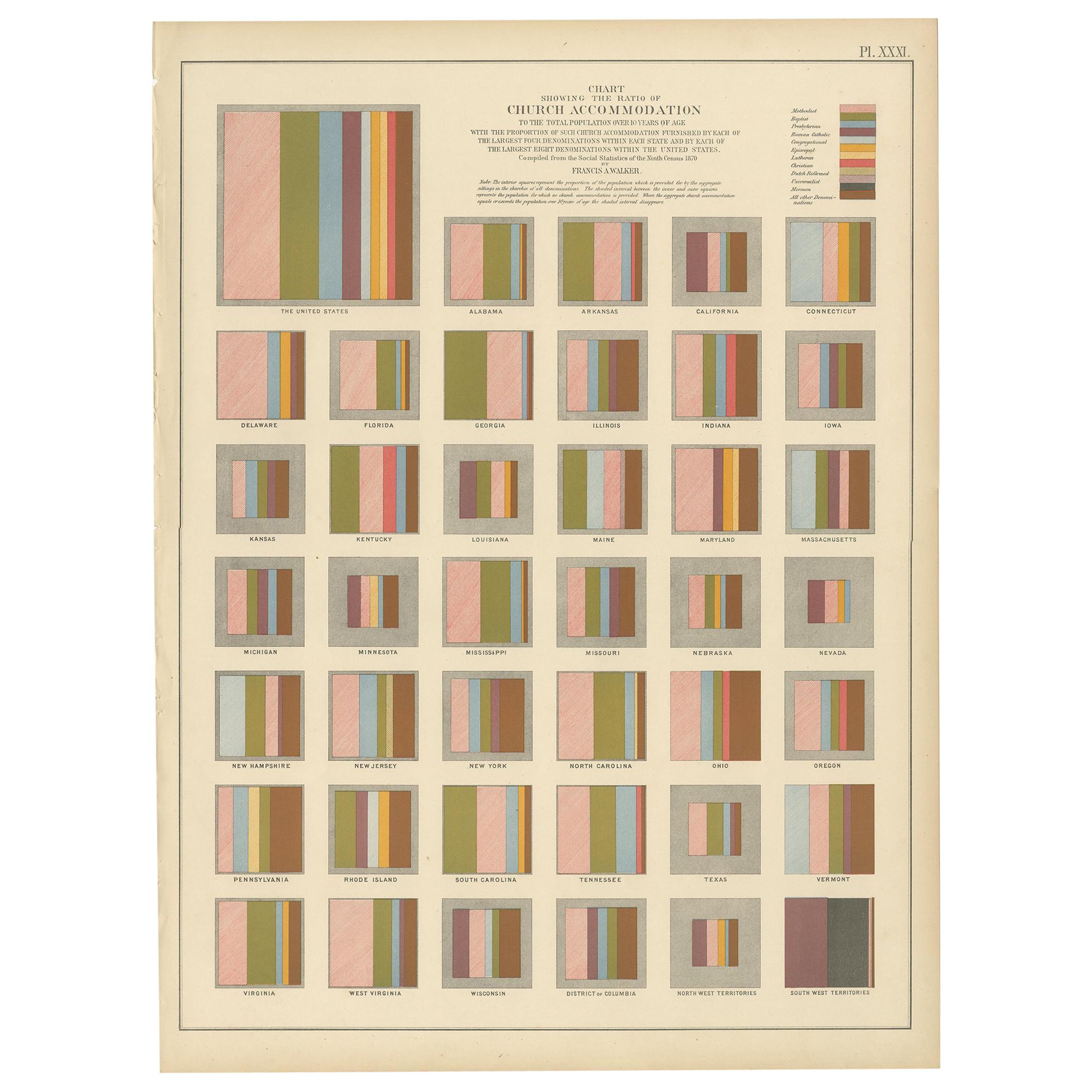
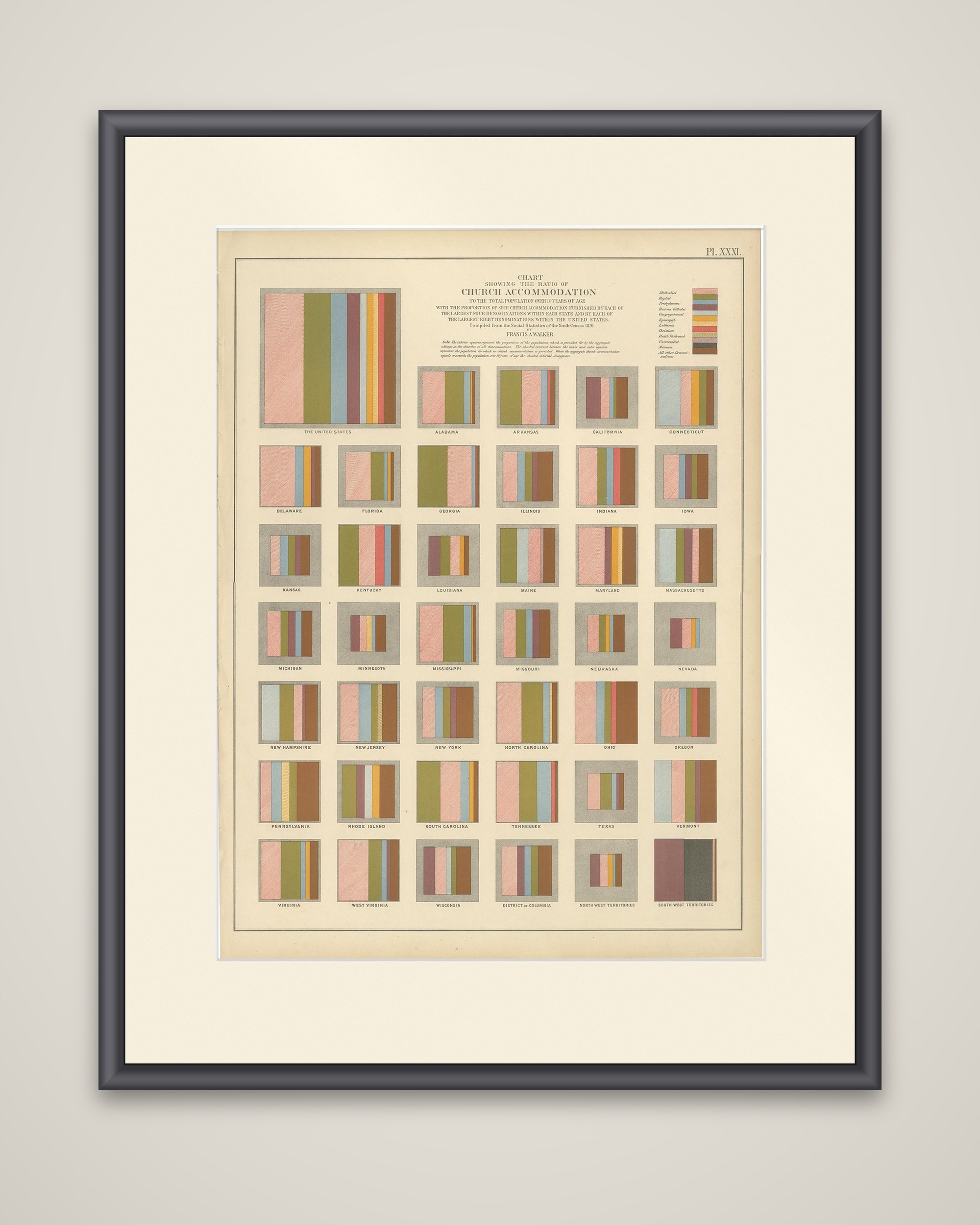
Church accommodation across the United States, an original color lithograph (Plate XXXI) from the Statistical Atlas of the United States based on the results of the ninth census 1870, compiled by Francis A. Walker and published in 1874. The title block reads "Chart showing the ratio of church accommodation to the total population over 10 years of age with the proportion of such church accommodation furnished by each of the largest four denominations within each state and by each of the largest eight denominations within the United States".
The sheet is not a map but a grid of small square diagrams. A large square at the upper left stands for the United States as a whole, and below it a separate square is drawn for each state and territory, labeled beneath in capitals from Alabama to the South West Territories. Within each square, colored vertical bands show the share of church accommodation held by each leading denomination, according to the key at the upper right, which lists the Methodist, Baptist, Presbyterian, Roman Catholic and other groups by color.
Walker directed the ninth census, and the atlas turned its returns into graphic form, with charts of this kind that compare the states directly.