Detailed Original Antique Map of India, Southeast Asia and the Far East, 1719
€ 1 750
Original antique · The actual sheet photographed · Certificate of authenticity on request · Sold unframed · Worldwide shipping from € 15 (rates)
Date
1719
Sheet size
67 × 56.5 cm (26.4 × 22.2 in)
Reference
BG-11815
Condition
Very good. Shipped in tube. Please review the images for further condition details.
About this sheet
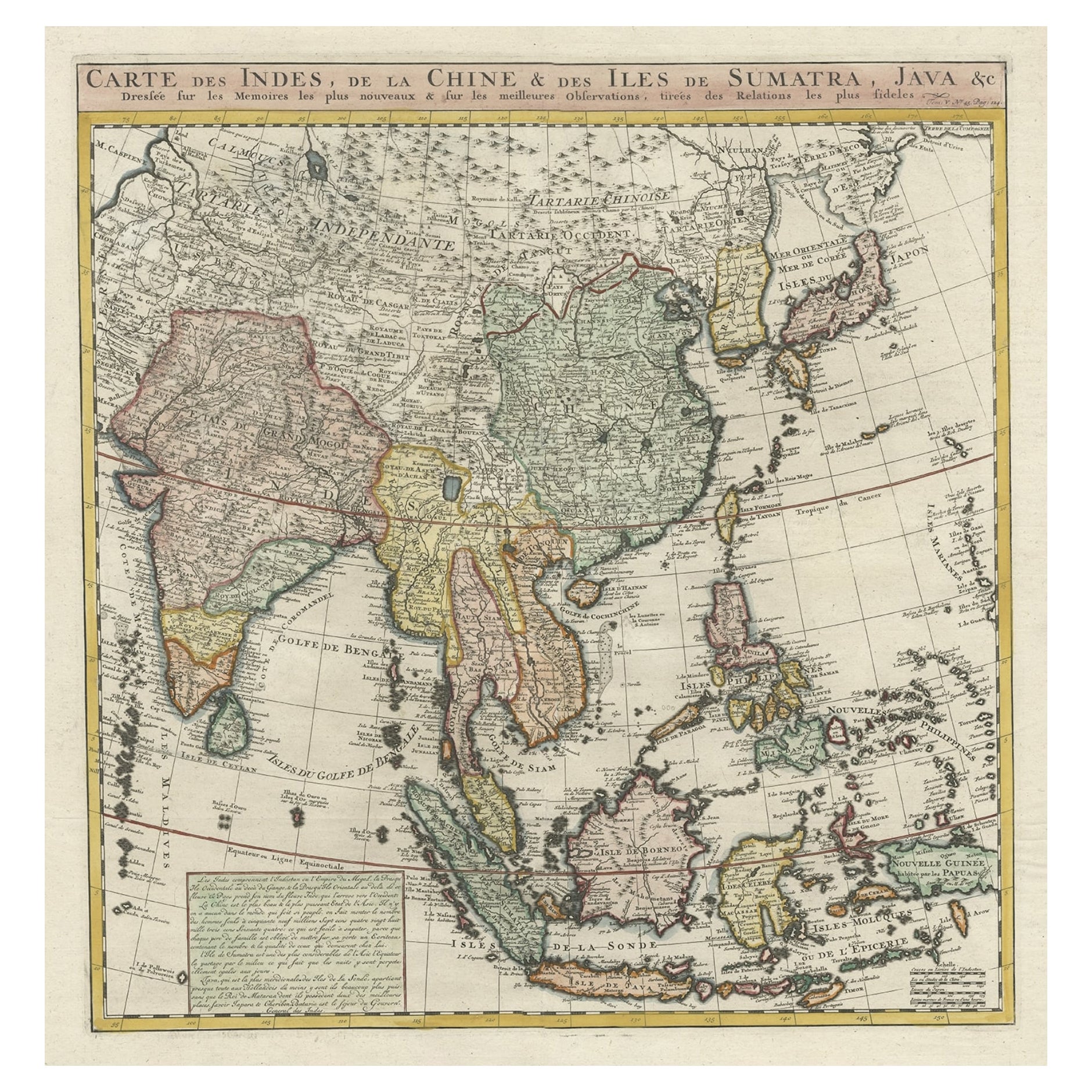
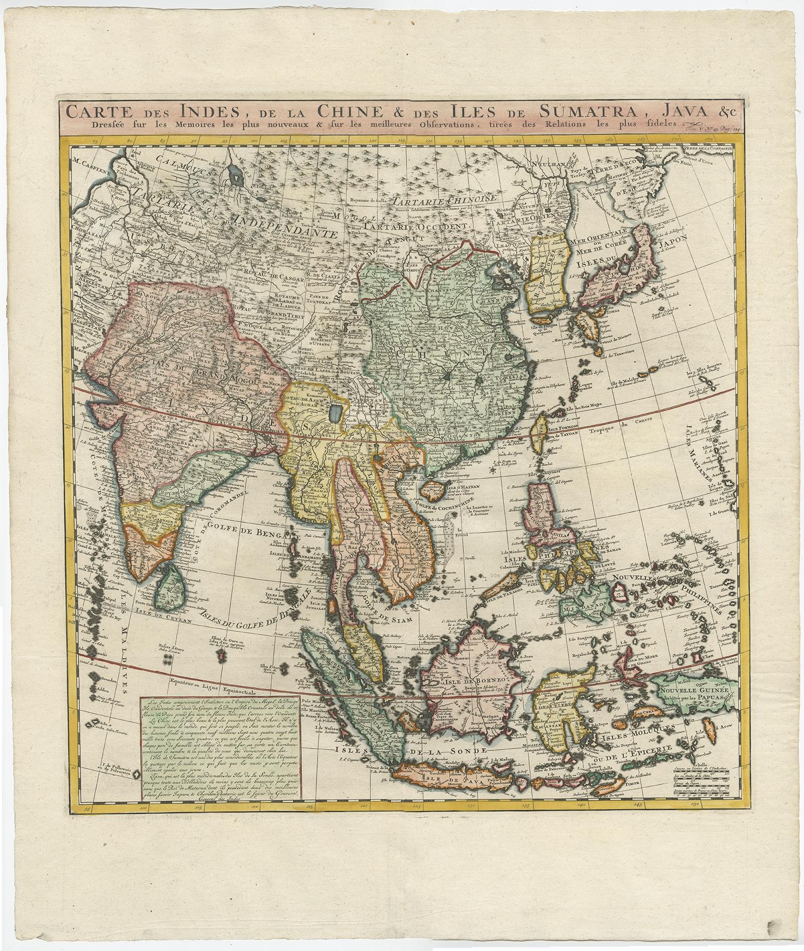
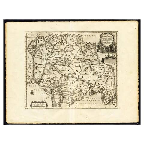
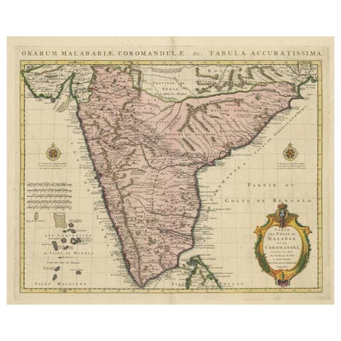
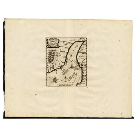
Antique map titled 'Carte des Indes, de la Chine & des Iles de Sumatra, Java & c'.
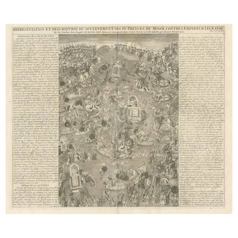
Detailed map of India, Southeast Asia and the Far East, extending from Gujerat to the supposed "Terre De Yeco" (Yesso), north of Japan, and south to include Sumatra, Java and New Guinea. This map originates from 'Atlas Historique' by Chatelain.
Artists and Engravers: Henri Abraham Chatelain (1684-1743), his father Zacharie Chatelain (d.1723) and Zacharie Junior (1690-1754), worked as a partnership publishing the Atlas Historique, Ou Nouvelle Introduction A L'Histoire under several different Chatelain imprints, depending on the Chatelain family partnerships at the time of publication.
Condition: Very good, please study image carefully. Shipped in tube.