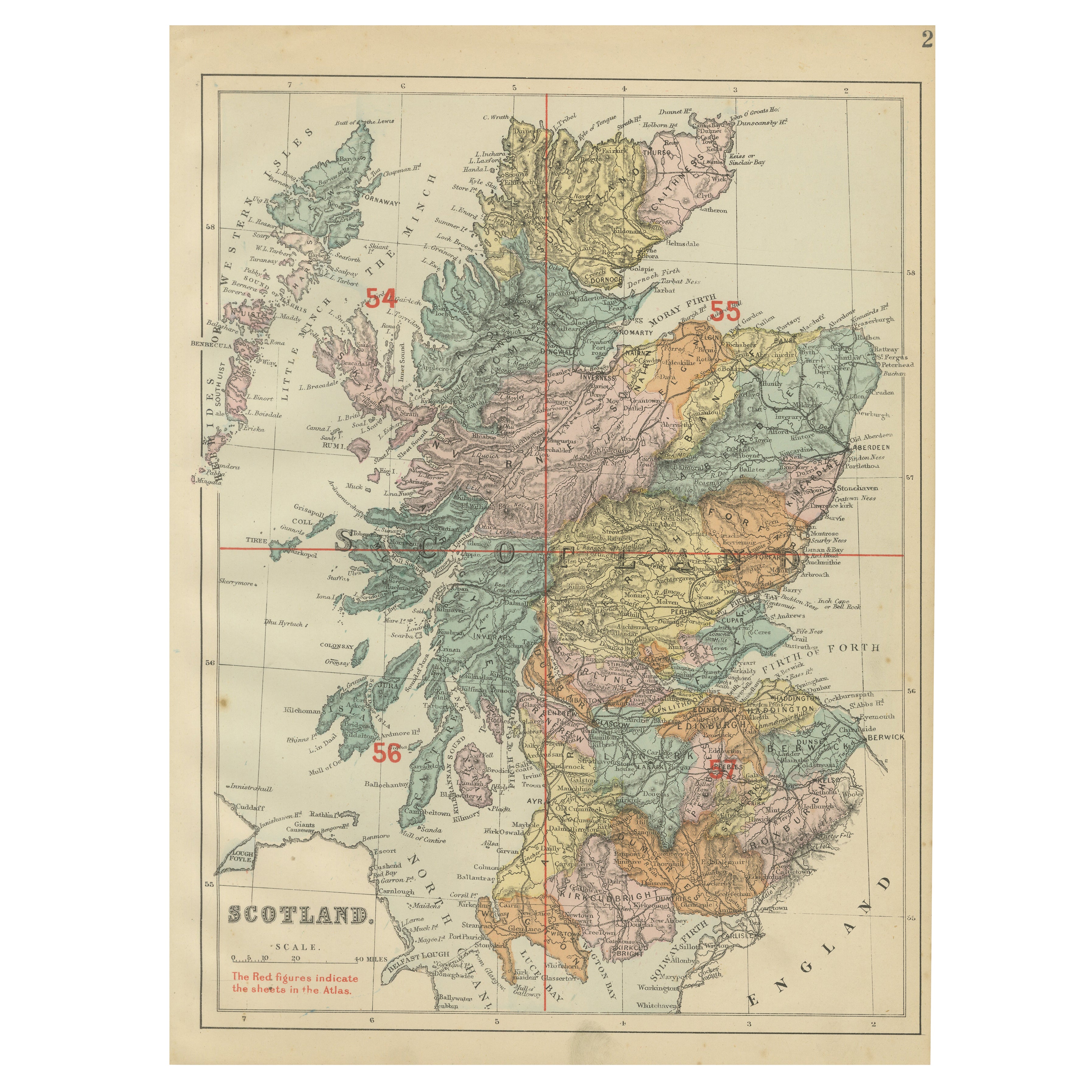
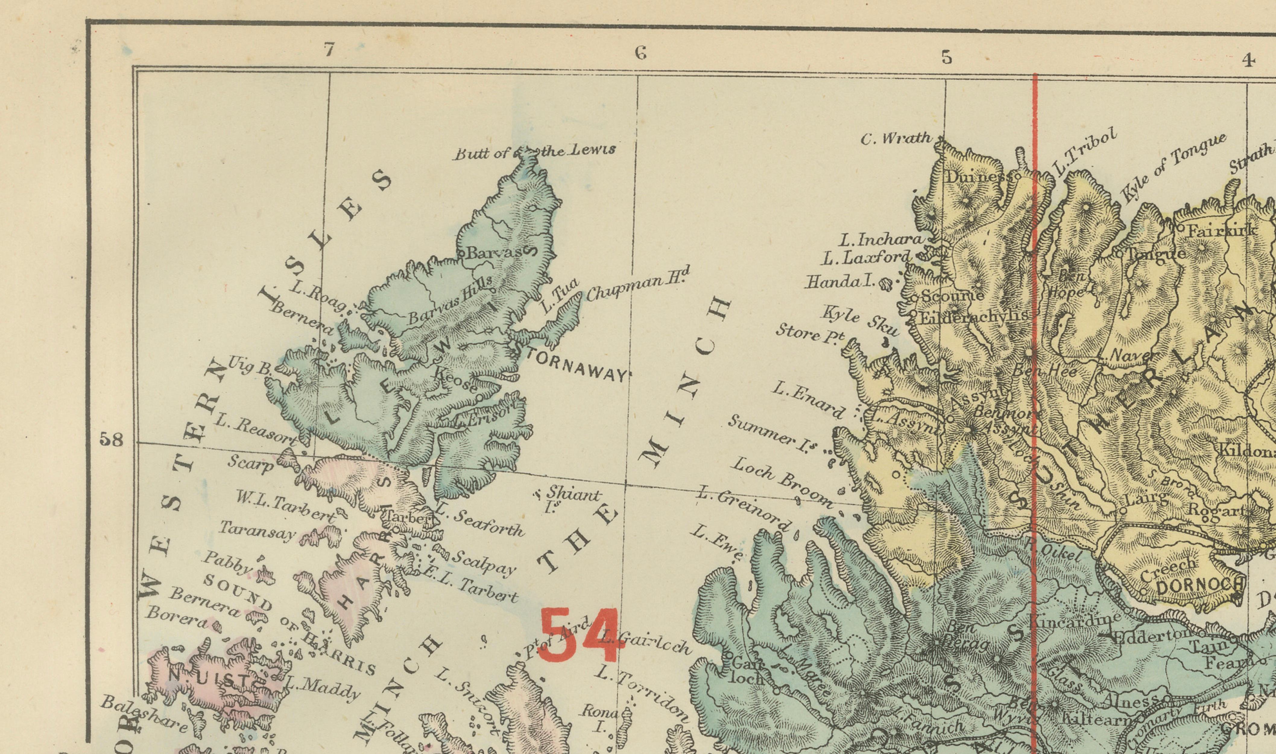
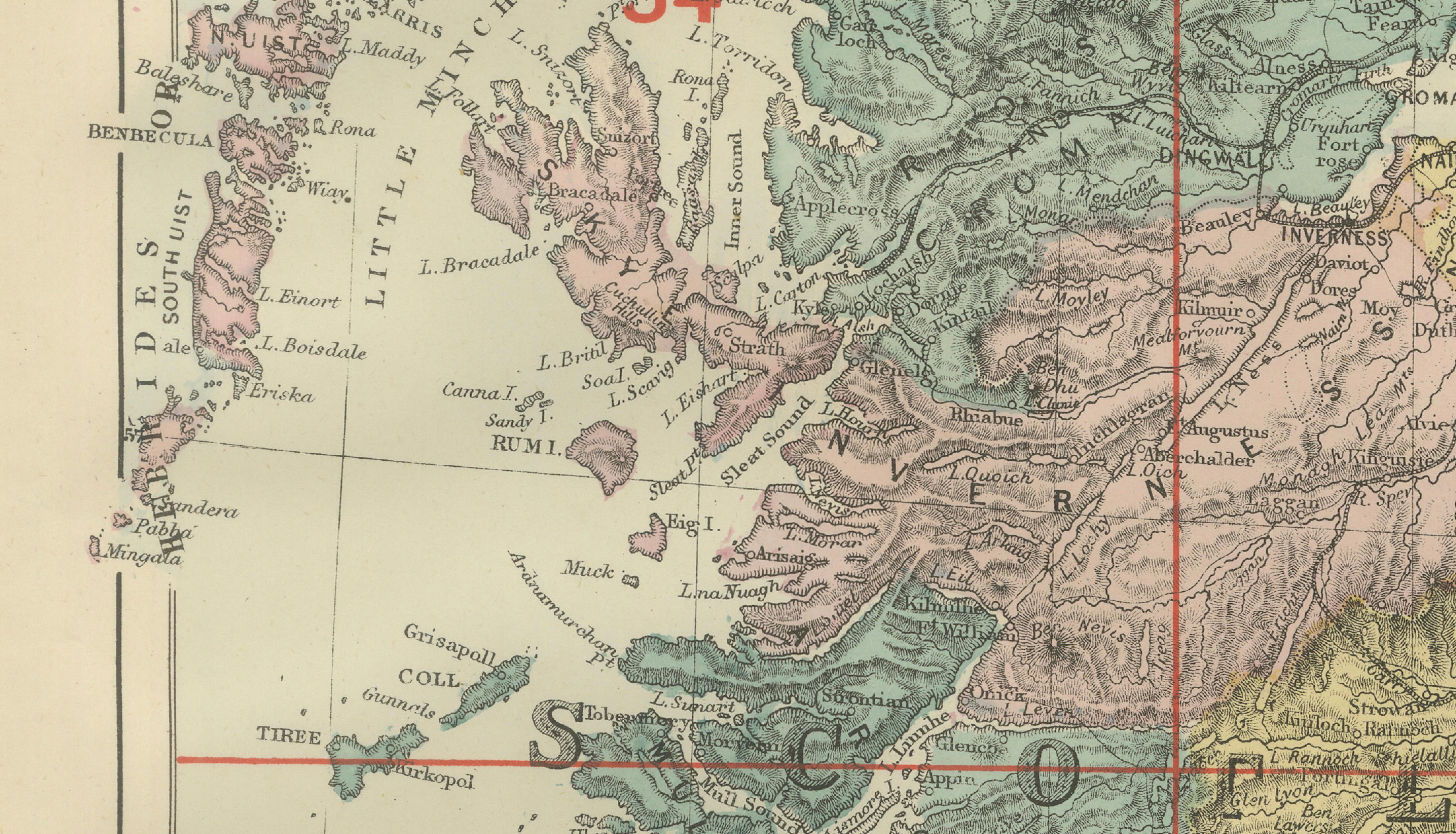
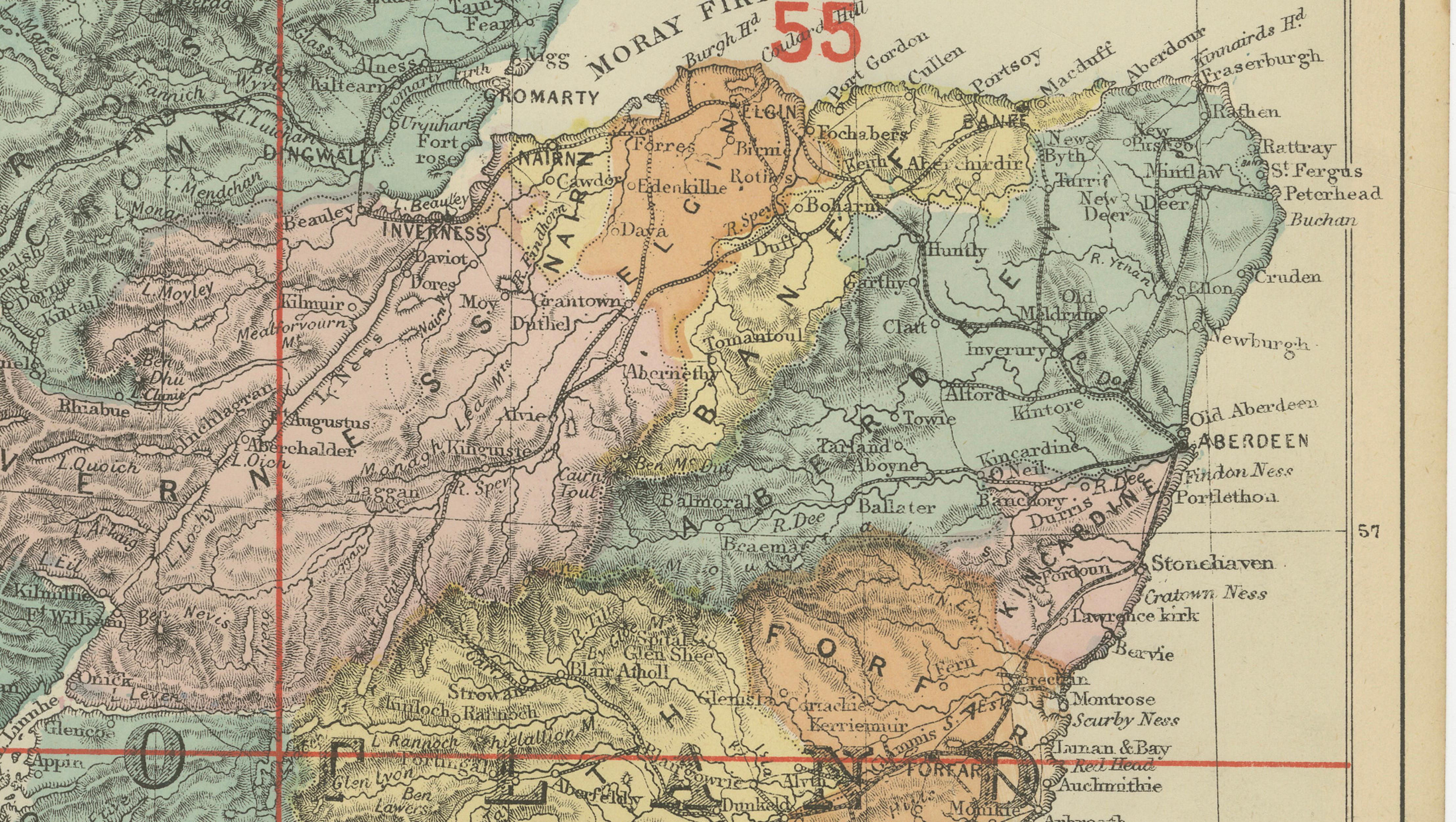
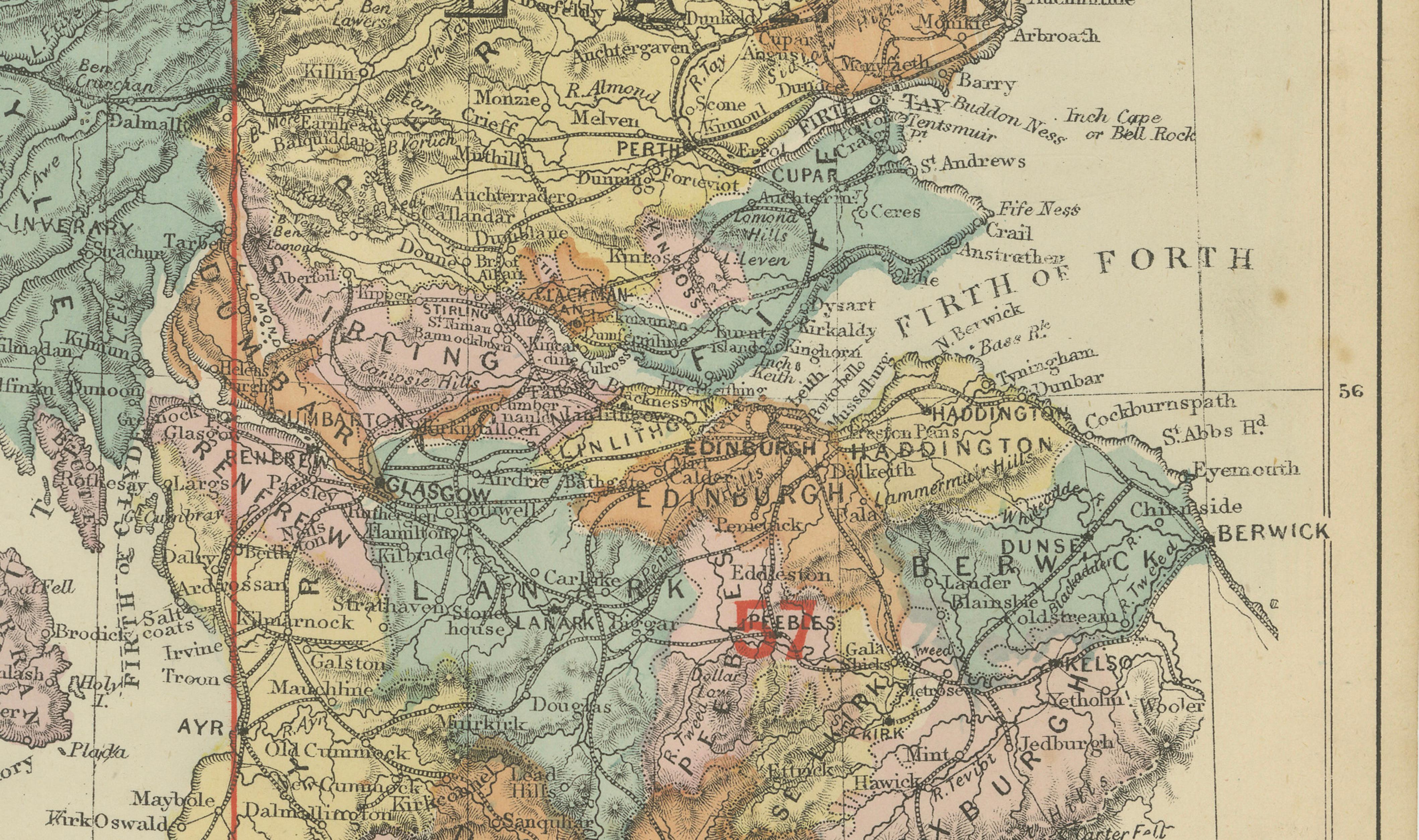
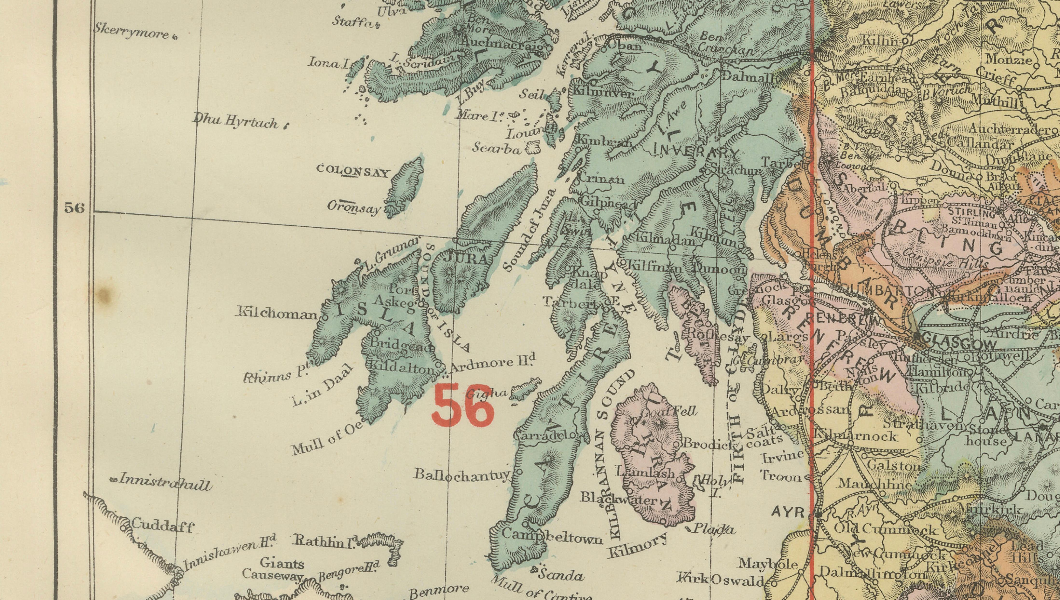
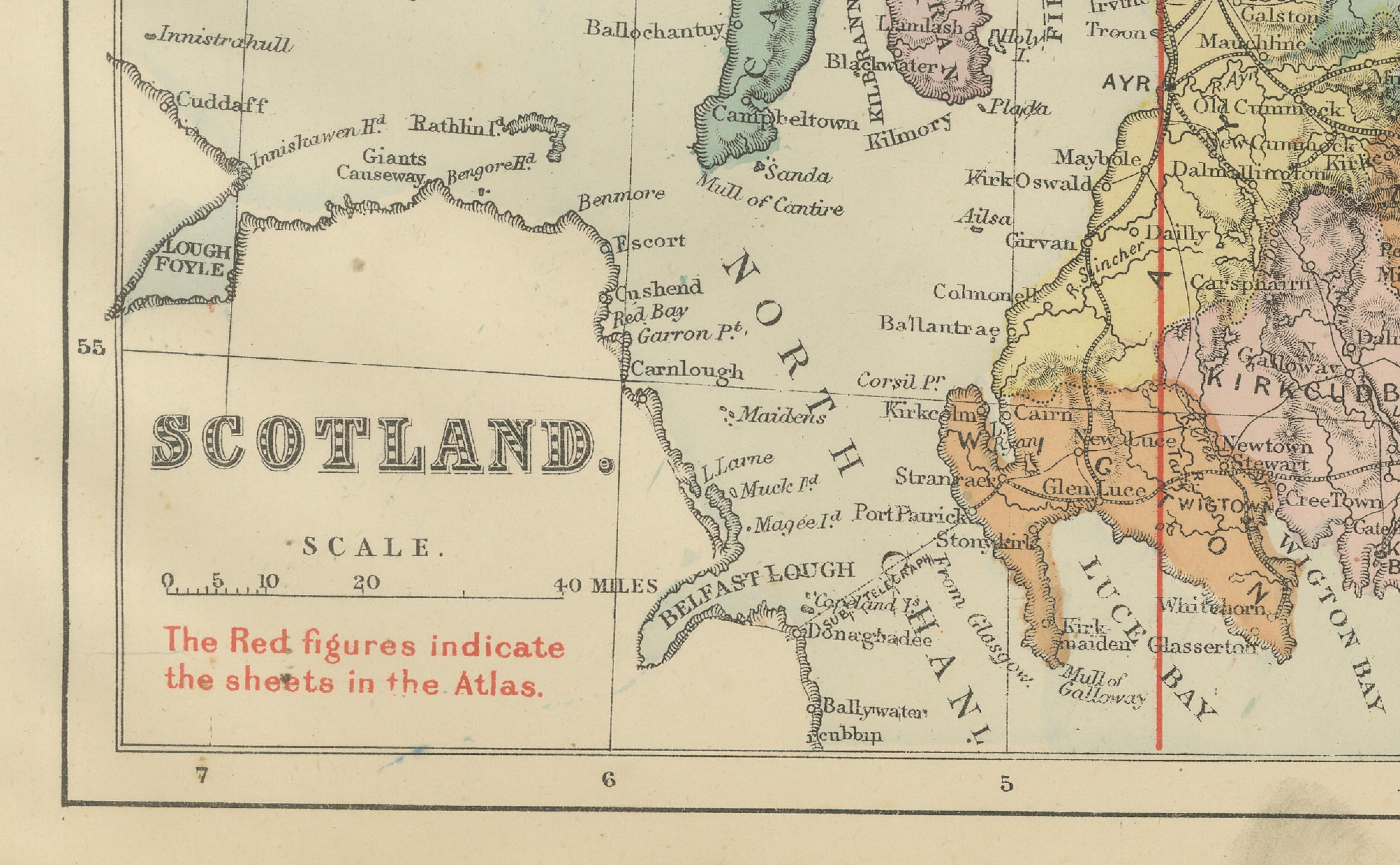
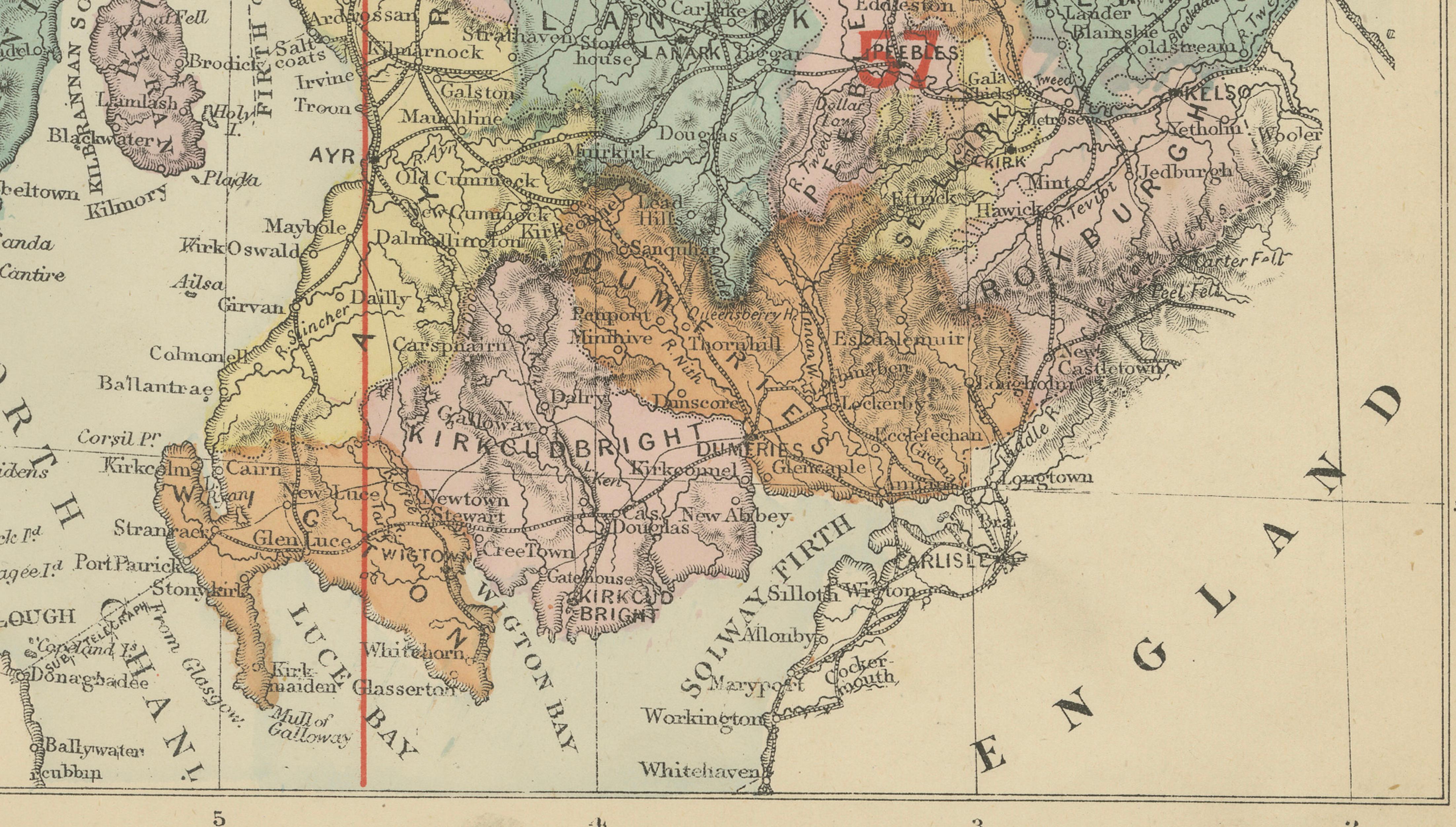
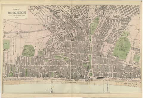
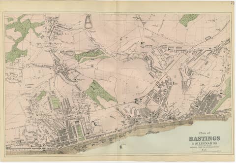
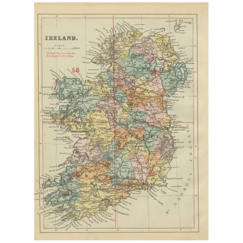
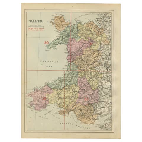
One of a kind: this is the sheet in the photographs. Ships from Langweer, the Netherlands.
Date
1885
Sheet size
33.8 × 25 cm (13.3 × 9.8 in)
Condition
Good
Reference
BG-14216-2B
Condition
Good antique condition. Light age toning and minor spotting consistent with age. No major tears or losses; original coloring remains attractive and well preserved.
This striking antique map of Scotland was published in 1885 by George W. Bacon in London as part of the *New Large Scale Ordnance Atlas of the British Isles with Plans of Towns*. Compiled from Ordnance Survey data, it shows Scotland divided into its historic counties, each delicately hand-colored and overlaid with a finely engraved network of railways, roads, rivers, and towns.
NOTE: The map is offered unframed, giving flexibility to select a frame that best suits the intended interior.
Visually, the map is especially compelling. The dramatic geography of the Scottish Highlands, islands, and rugged coastline is rendered with great clarity, while the soft pastel county colors create a calm, harmonious surface. Red reference lines and sheet numbers introduce a subtle graphic structure that enhances the composition without overpowering it.
This map works exceptionally well as decorative wall art. Its balance of detail and elegance makes it suitable for studies, libraries, living rooms, offices, or hospitality interiors. It conveys a strong sense of Scottish landscape and heritage while remaining refined and visually approachable, appealing to both designers and decorative buyers.
Condition Report: Good antique condition. Light age toning and minor spotting consistent with age. No major tears or losses; original coloring remains attractive and well preserved.
Framing Tips: A dark wood, black, or ebonized frame complements the historic character. An ivory or warm off-white mat will highlight the subtle colors and keep the presentation clean and elegant.
Technique: Lithograph with original color Maker: George W. Bacon, London, 1885