About this sheet
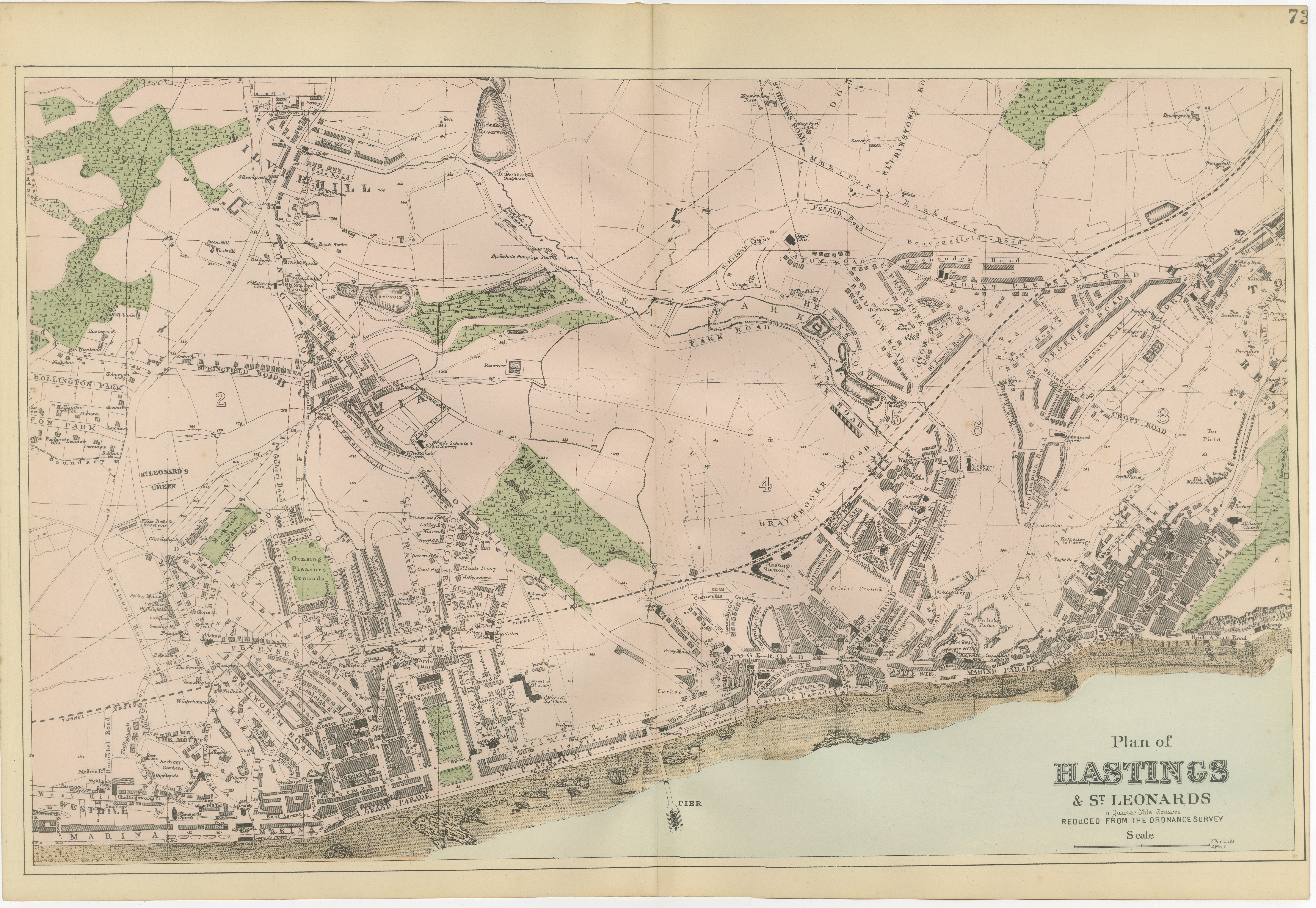
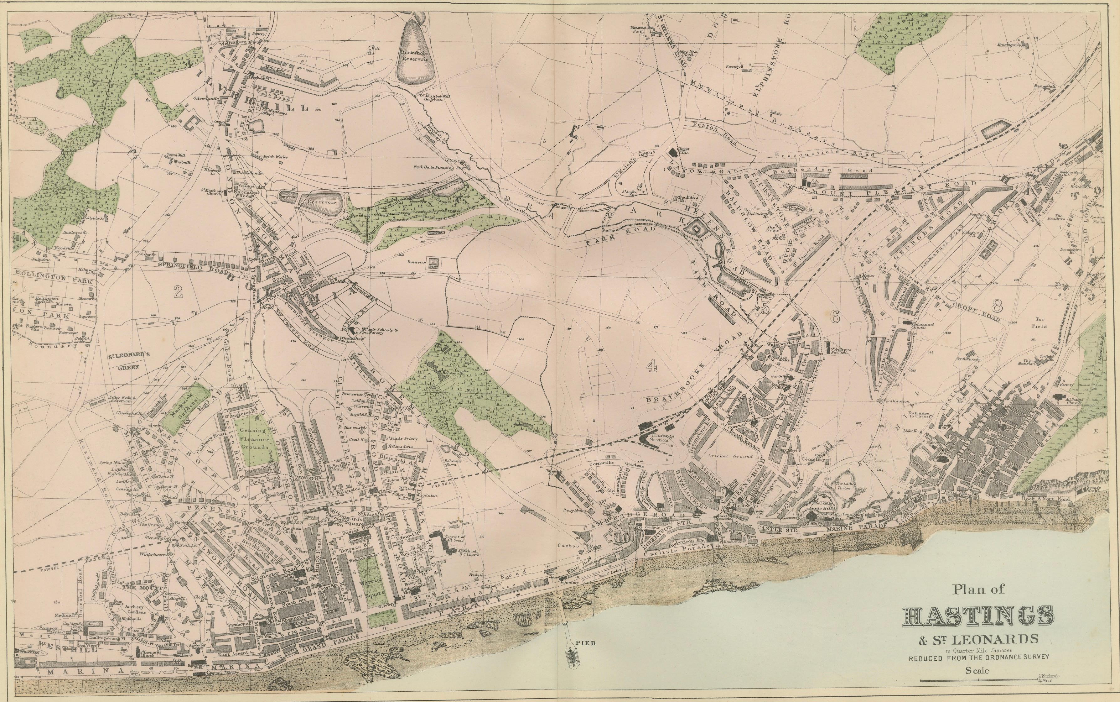
Hastings Urban Coastal Plan 1885, Bacon Ordnance Atlas Town Map
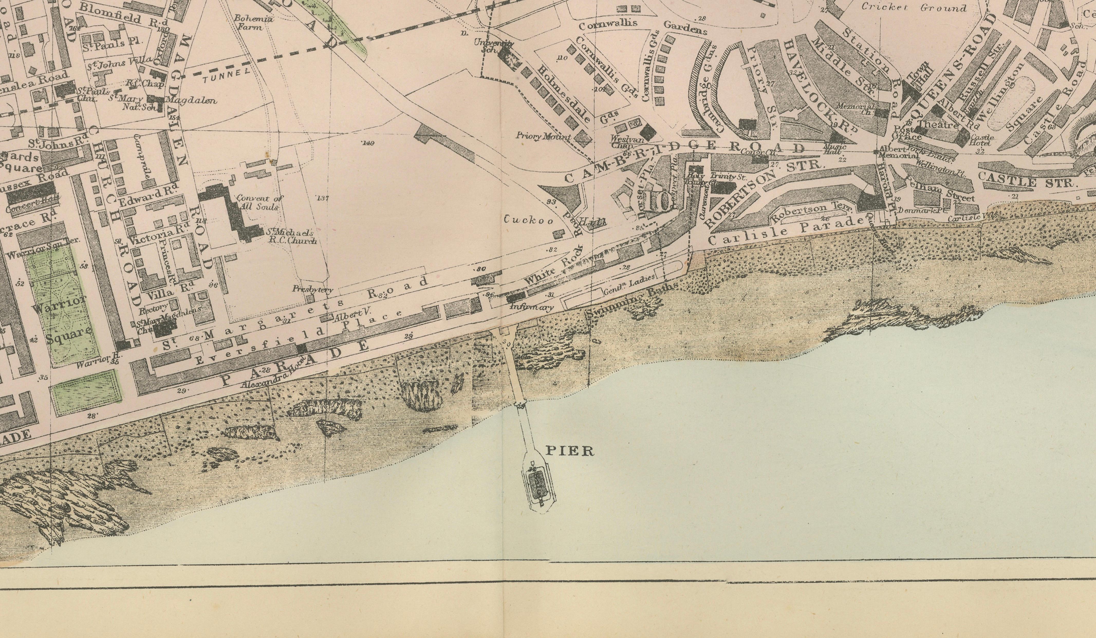
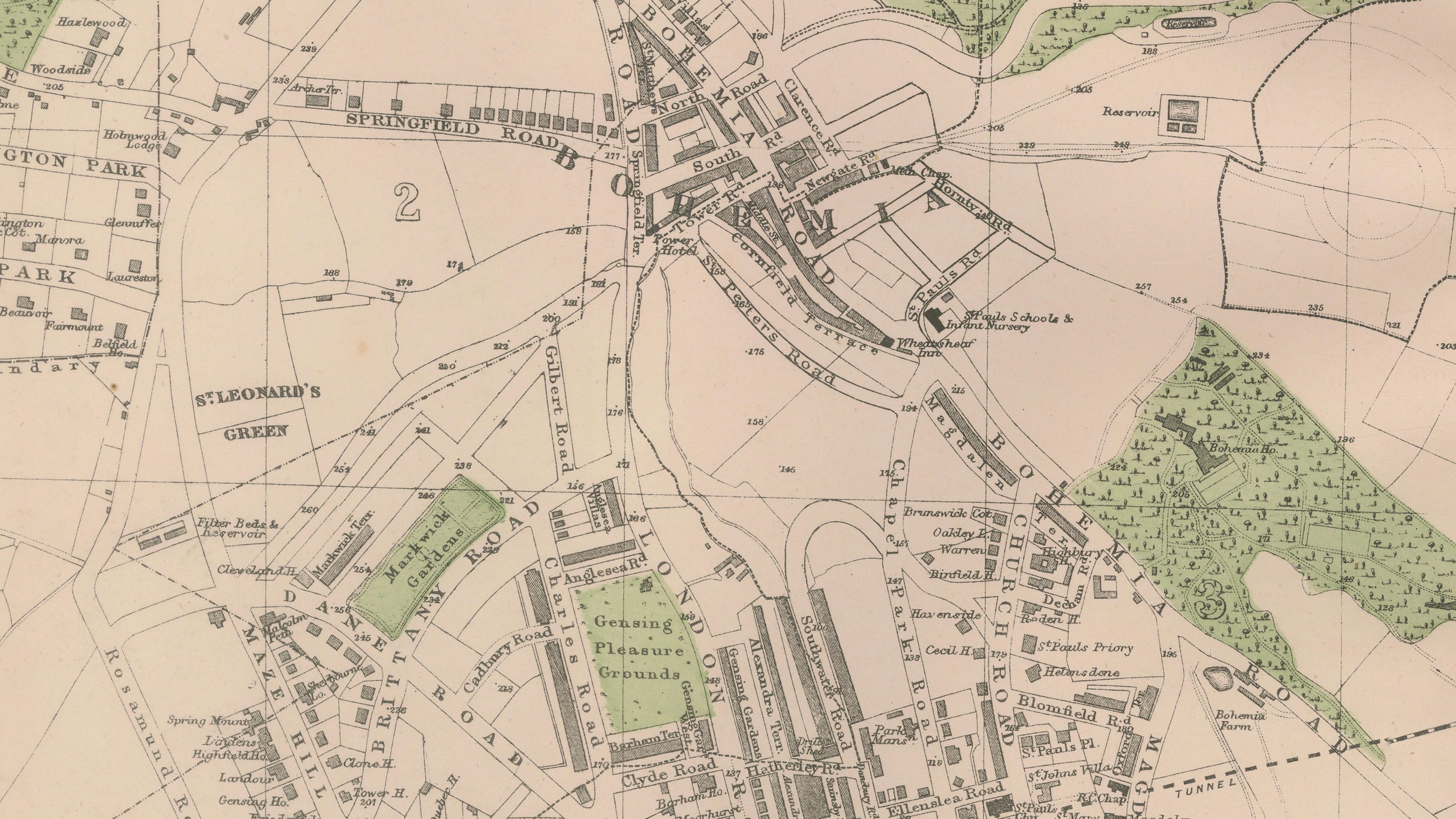
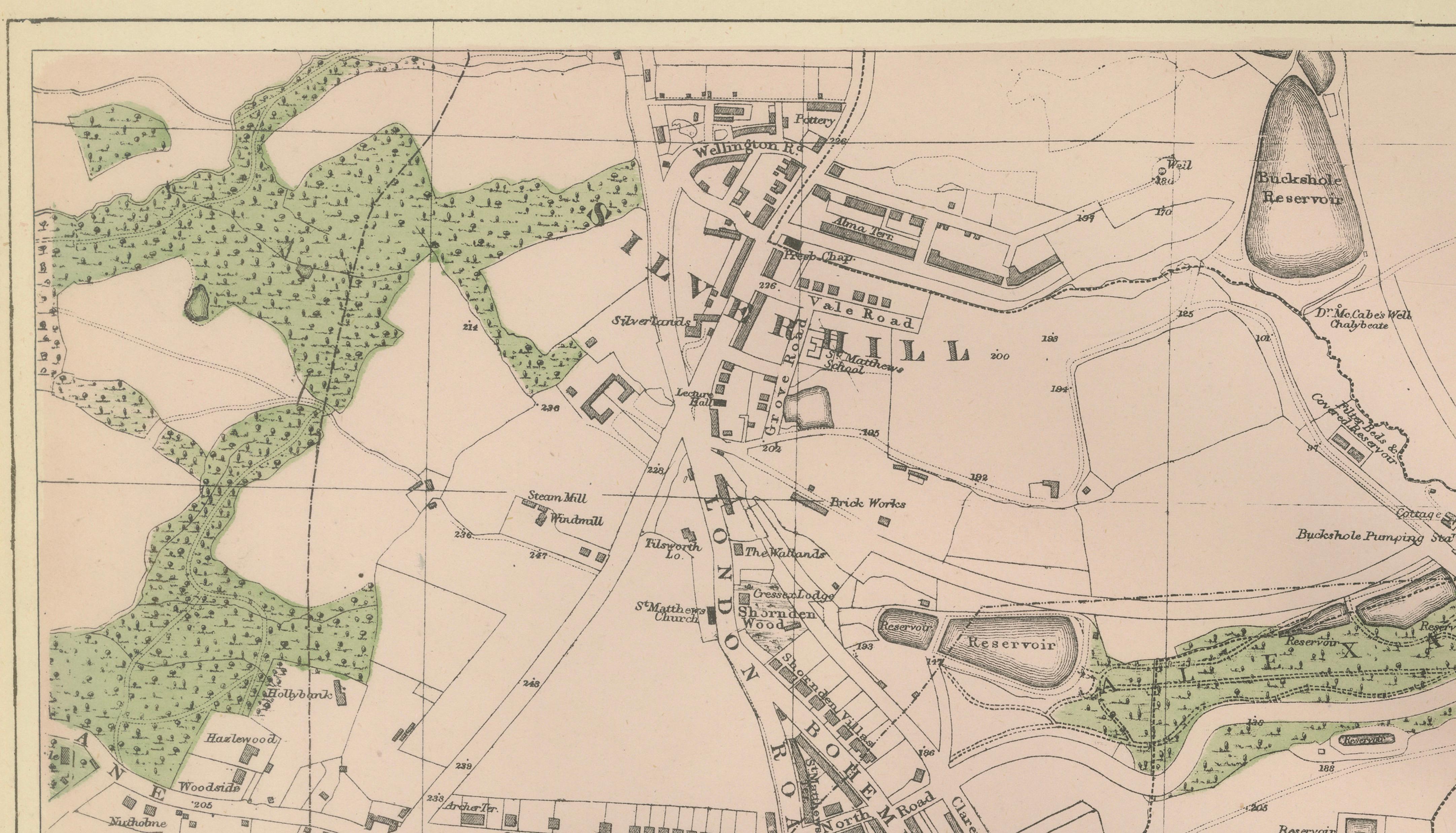
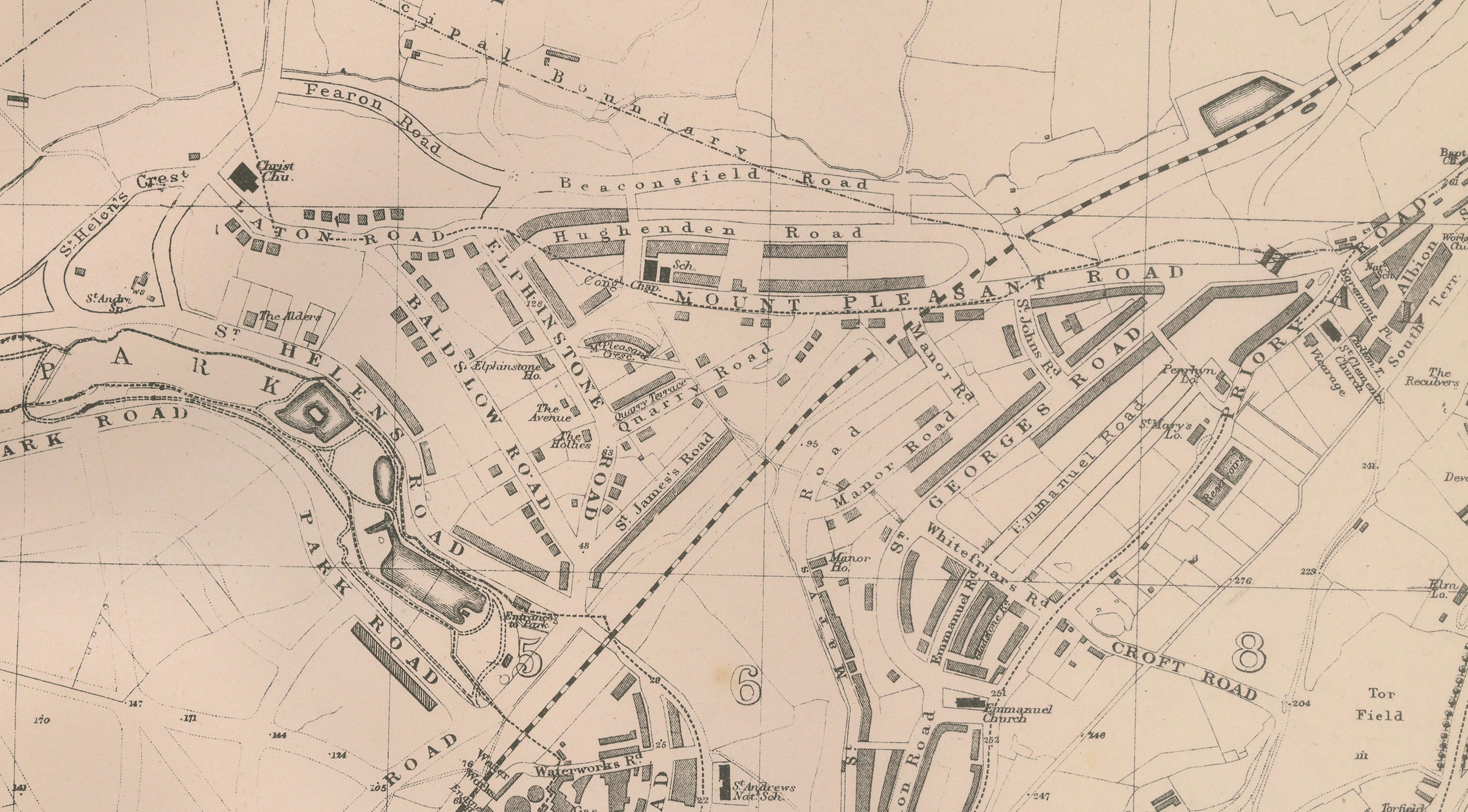
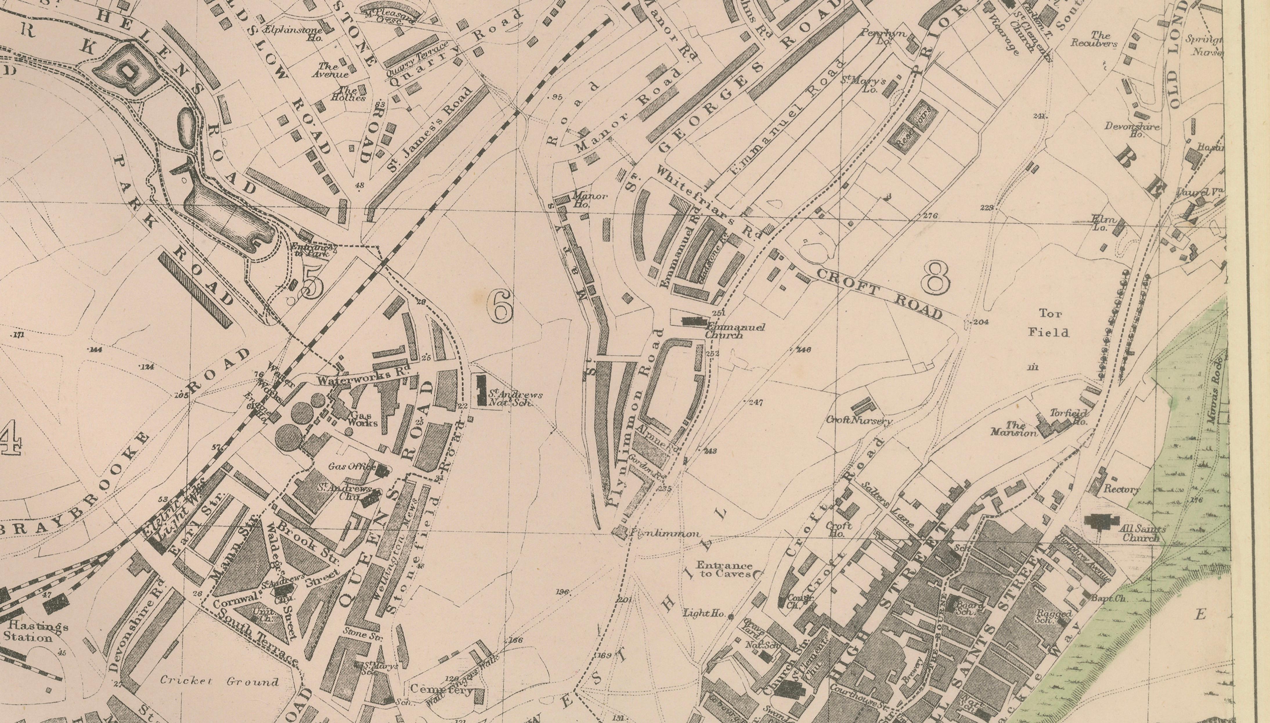
A detailed antique plan of Hastings and St Leonards-on-Sea, published in 1885 by the London cartographer George W. Bacon as part of the New Large Scale Ordnance Atlas of the British Isles with Plans of Towns. Derived from official Ordnance Survey data and contemporary surveys, the map records the celebrated Sussex coastal resort during a transformative period of Victorian expansion and seaside development.
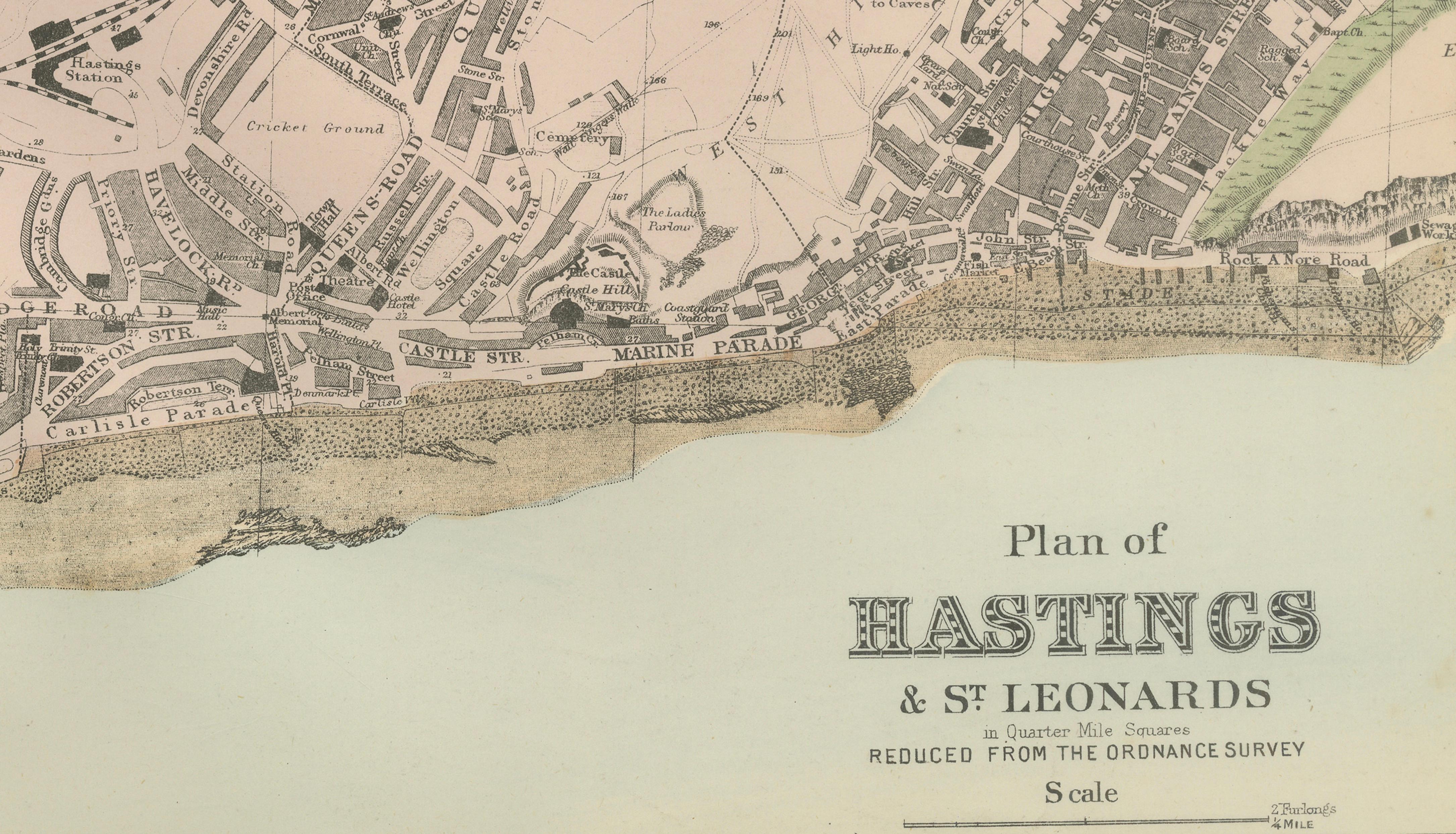
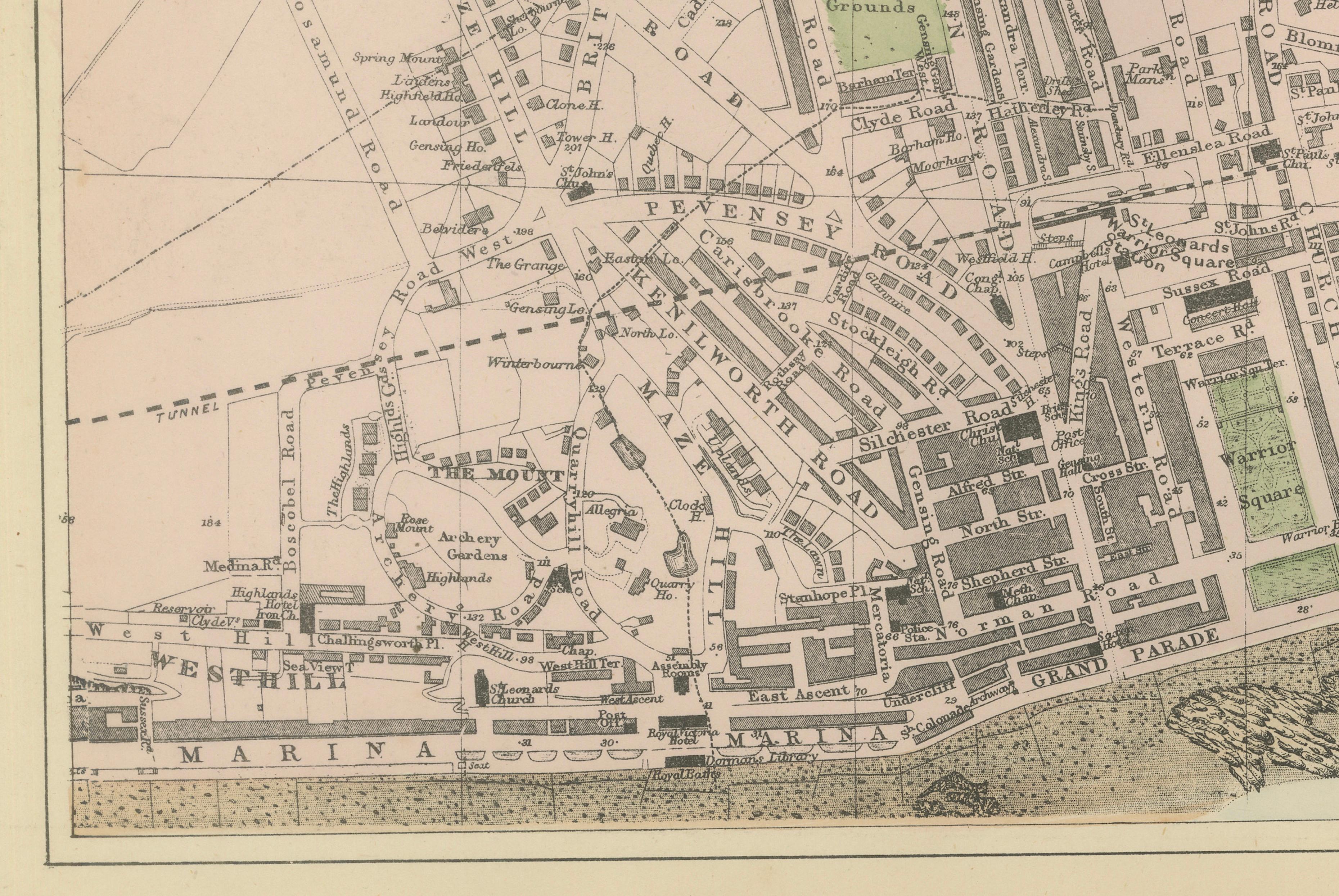
The composition stretches horizontally along the English Channel, capturing the relationship between coastline, promenade, rail infrastructure, and rapidly growing residential districts. Hastings’ historic core merges visually with the planned elegance of St Leonards-on-Sea, a purpose-built nineteenth-century seaside town designed to attract affluent visitors seeking health, leisure, and sea air.
Fine engraving renders streets, terraces, public buildings, and railway lines with exceptional clarity, while delicate original hand coloring highlights parks, open land, and urban divisions. The sweeping coastline and marina frontage form a strong decorative horizon, giving the map an architectural rhythm that works particularly well in wide interior spaces.
Bacon’s town plans are valued for combining cartographic precision with refined presentation. Produced during the peak of Victorian industrial and social growth, they document the emergence of modern urban infrastructure while preserving the character of earlier settlements. This example offers a vivid snapshot of Hastings just before twentieth-century redevelopment reshaped much of the seafront and surrounding districts.
Today, such maps appeal equally to collectors of British cartography, coastal historians, and interior designers seeking historically grounded yet visually calm wall pieces. Its elongated format makes it especially suited to placement above desks, consoles, or architectural spaces requiring horizontal emphasis.
Condition:
Good antique condition overall. Light age-related toning and minor spotting consistent with age. Original center fold as issued. Margins remain generous. Strong and clear impression.
Framing Tips:
Ideal in a dark walnut or ebonized frame with a wide ivory mat to emphasize the panoramic format. Also works beautifully in a minimalist setting with a thin black frame to highlight the linear coastal composition.
Technique: Lithograph with original hand color
Maker: George W. Bacon, London, 1885
Keyword Block
antique map, Hastings map, St Leonards map, Sussex map, Victorian coastal map, 1885 map, George W Bacon, Bacon atlas, Ordnance survey map, English seaside map, antique town plan, Hastings England map, British coastal cartography, antique lithograph map, 19th century city plan, Victorian seaside resort, collectible map print, English heritage map, historical town plan, decorative antique map, coastal wall map, library decor map, study wall art, British Isles atlas, antique atlas plate, architectural cartography, antique urban plan, UK antique map, collectible British map, Victorian urban expansion, engraved town plan, museum style map, interior designer wall art, antique geography print