About this sheet
Antique Charts of the World – Physical Features and Ethnographical Map, 1884
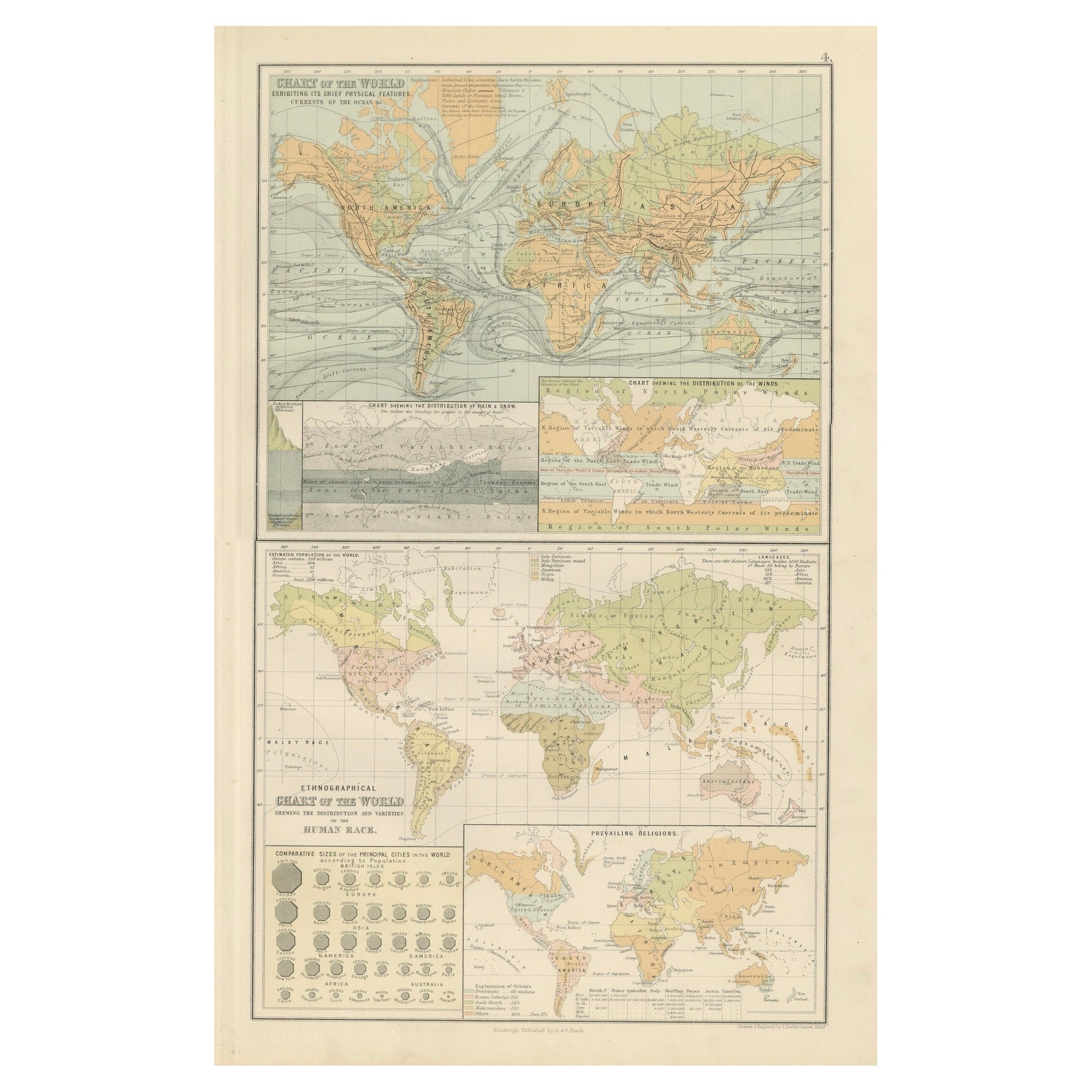
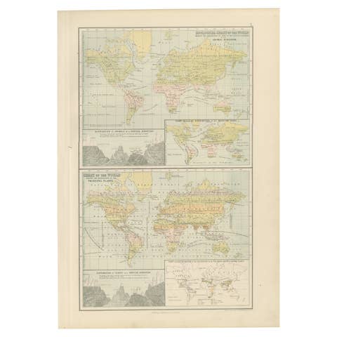
This fascinating double plate from the New and Revised Edition of Black’s General Atlas of the World, published in Edinburgh in 1884, brings together a series of instructive thematic world charts. Unlike traditional political maps, these plates focus on physical geography, climate, population, and ethnography, reflecting the 19th-century desire to present the world through scientific and comparative lenses.
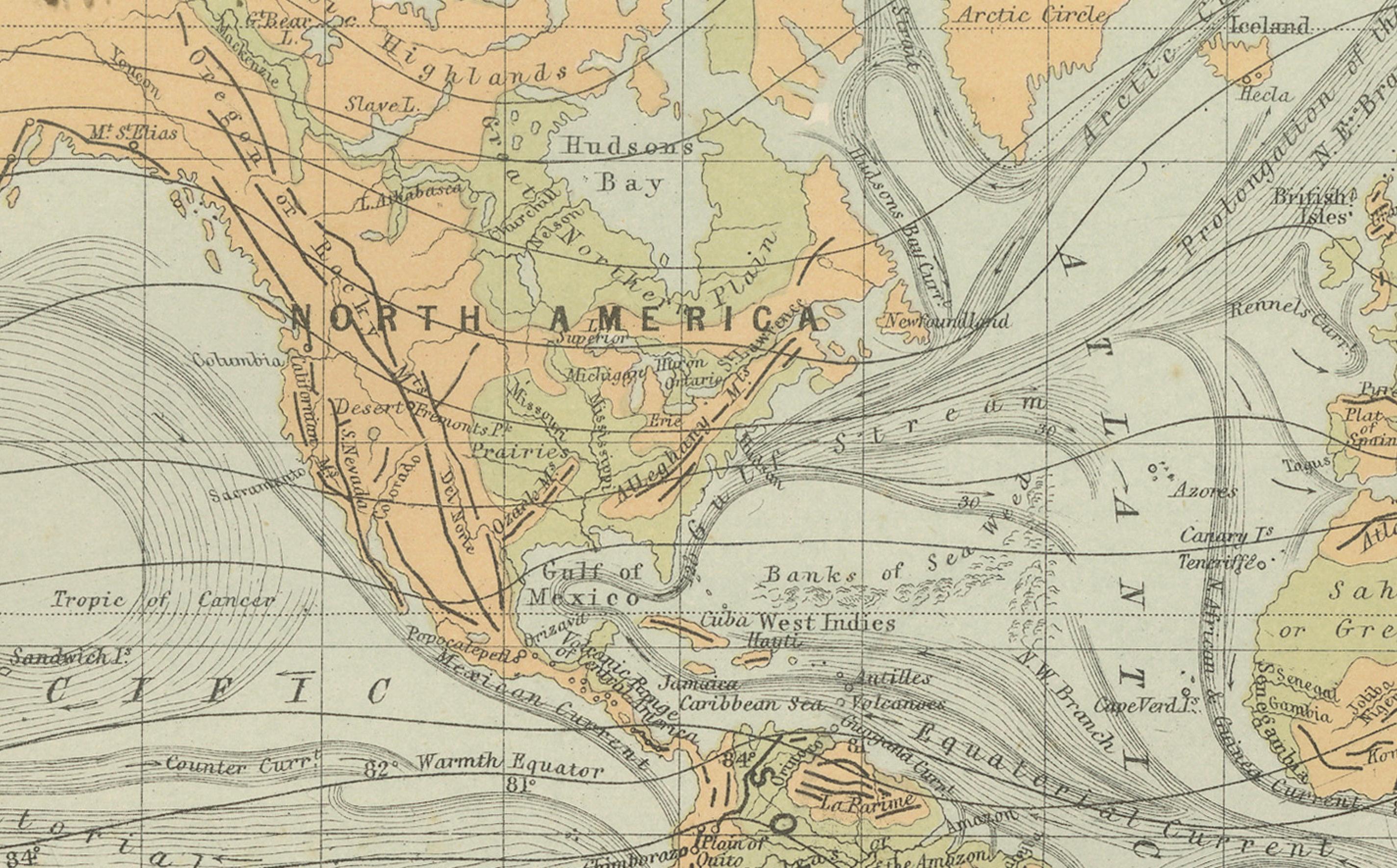
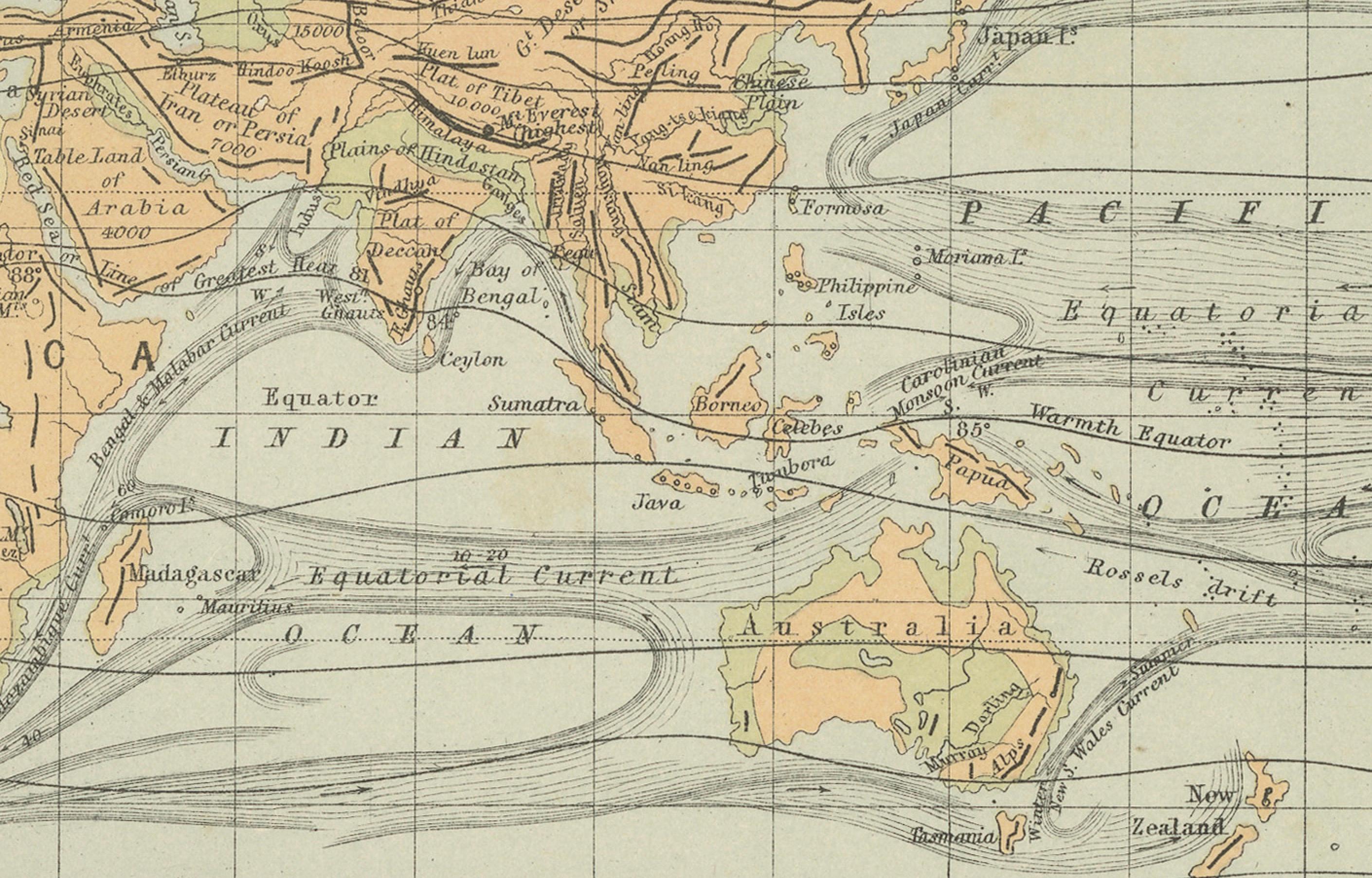
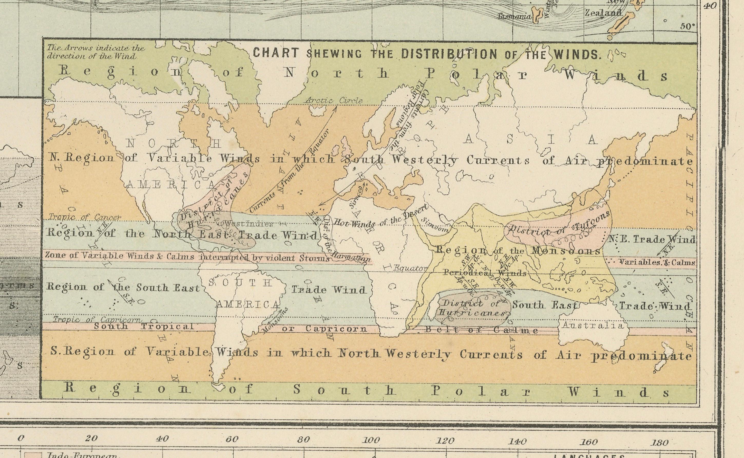
The upper section, titled “Chart of the World Exhibiting its Chief Physical Features and Currents of the Ocean,” emphasizes global natural forces. It shows prevailing ocean currents, trade winds, rainfall distribution, and climatic zones. Insets illustrate the distribution of rain and snow across the globe, as well as regional wind patterns, highlighting the importance of meteorology for navigation and agriculture in the Victorian era.
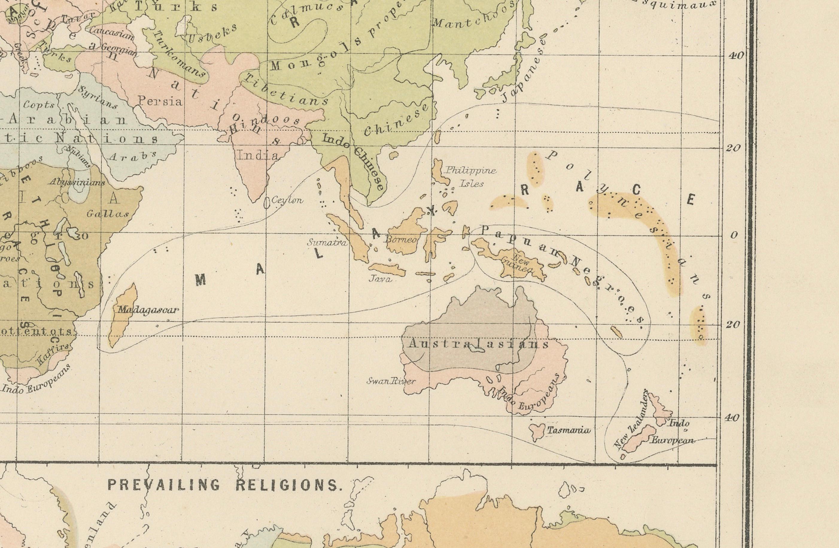
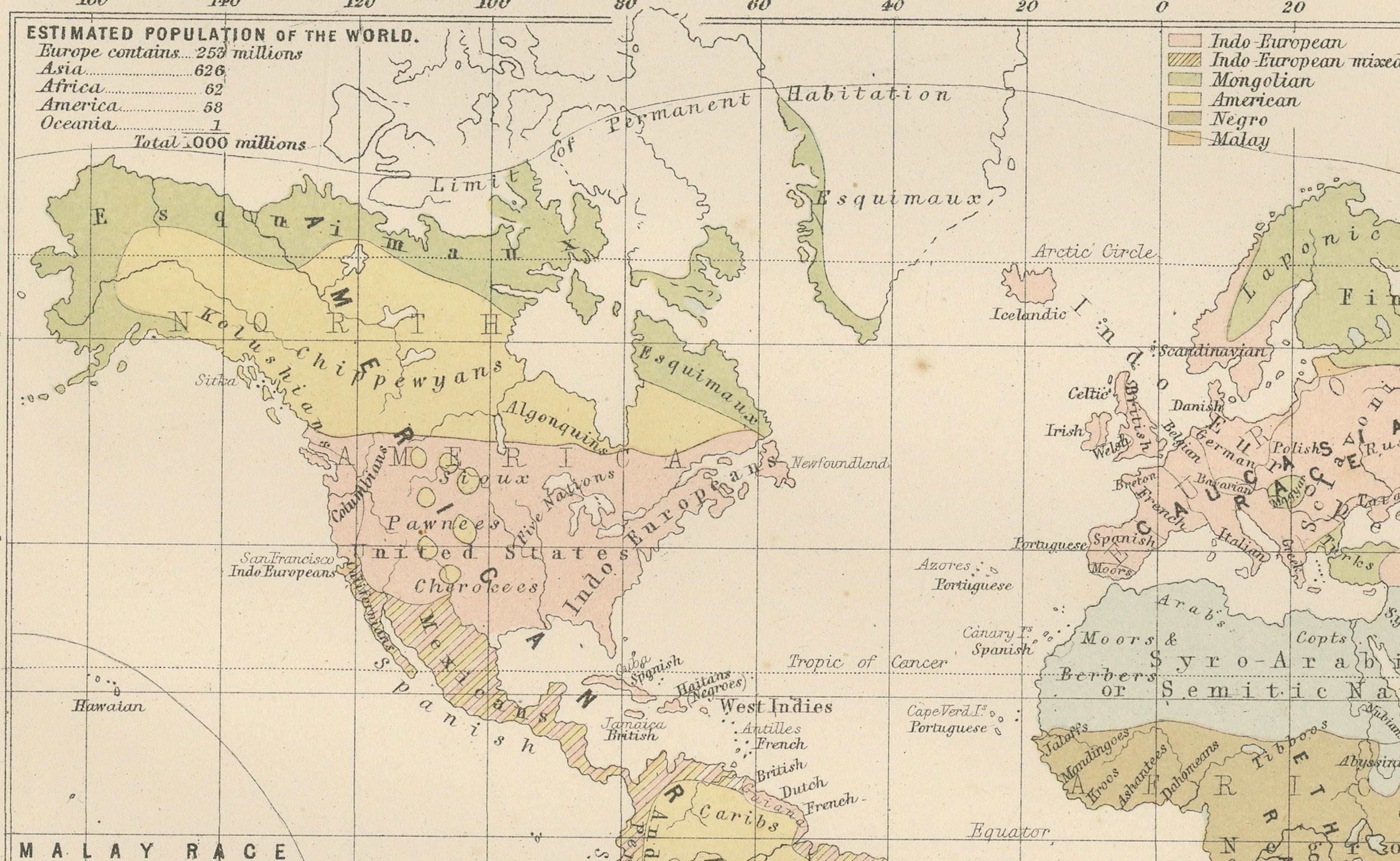
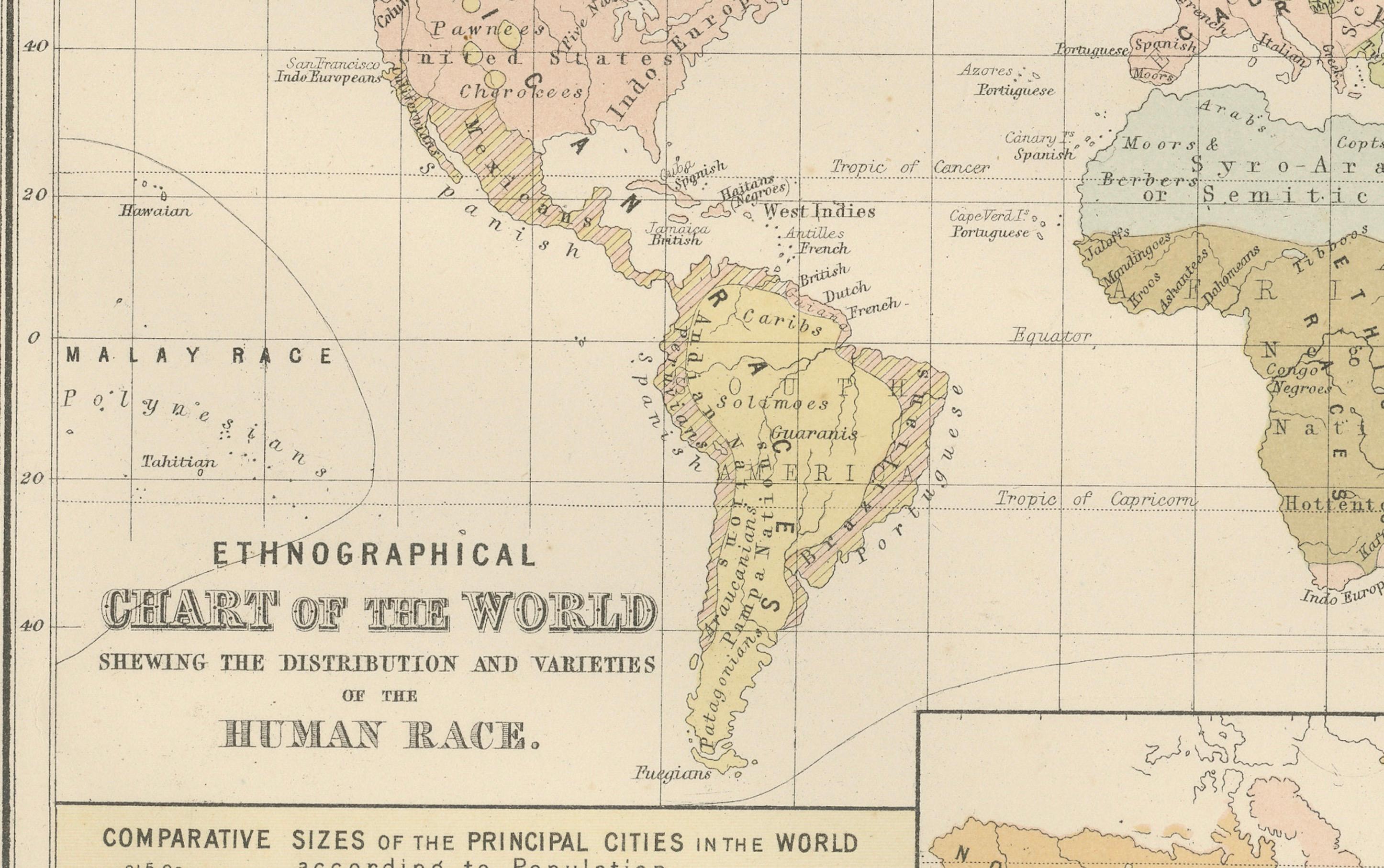
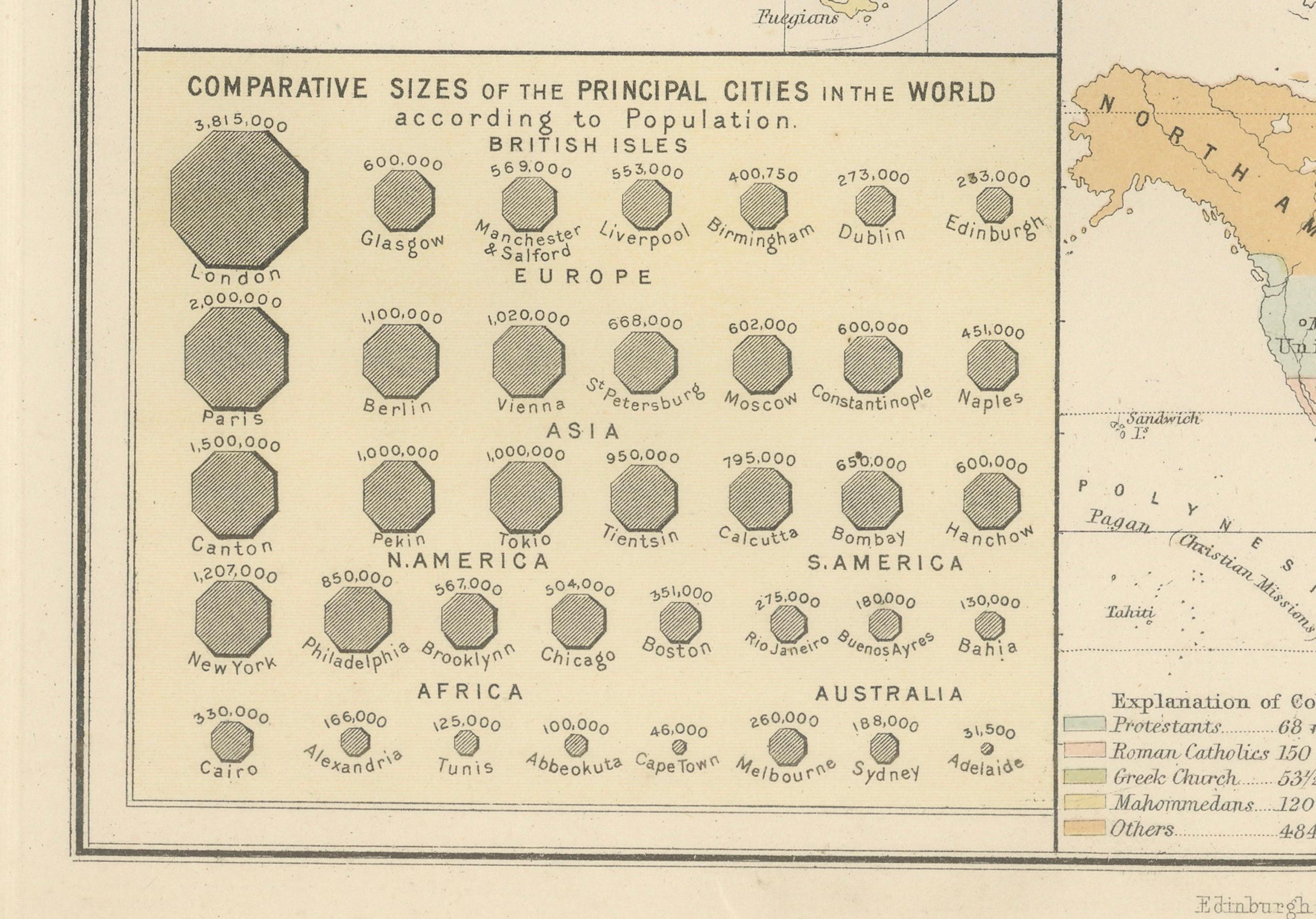
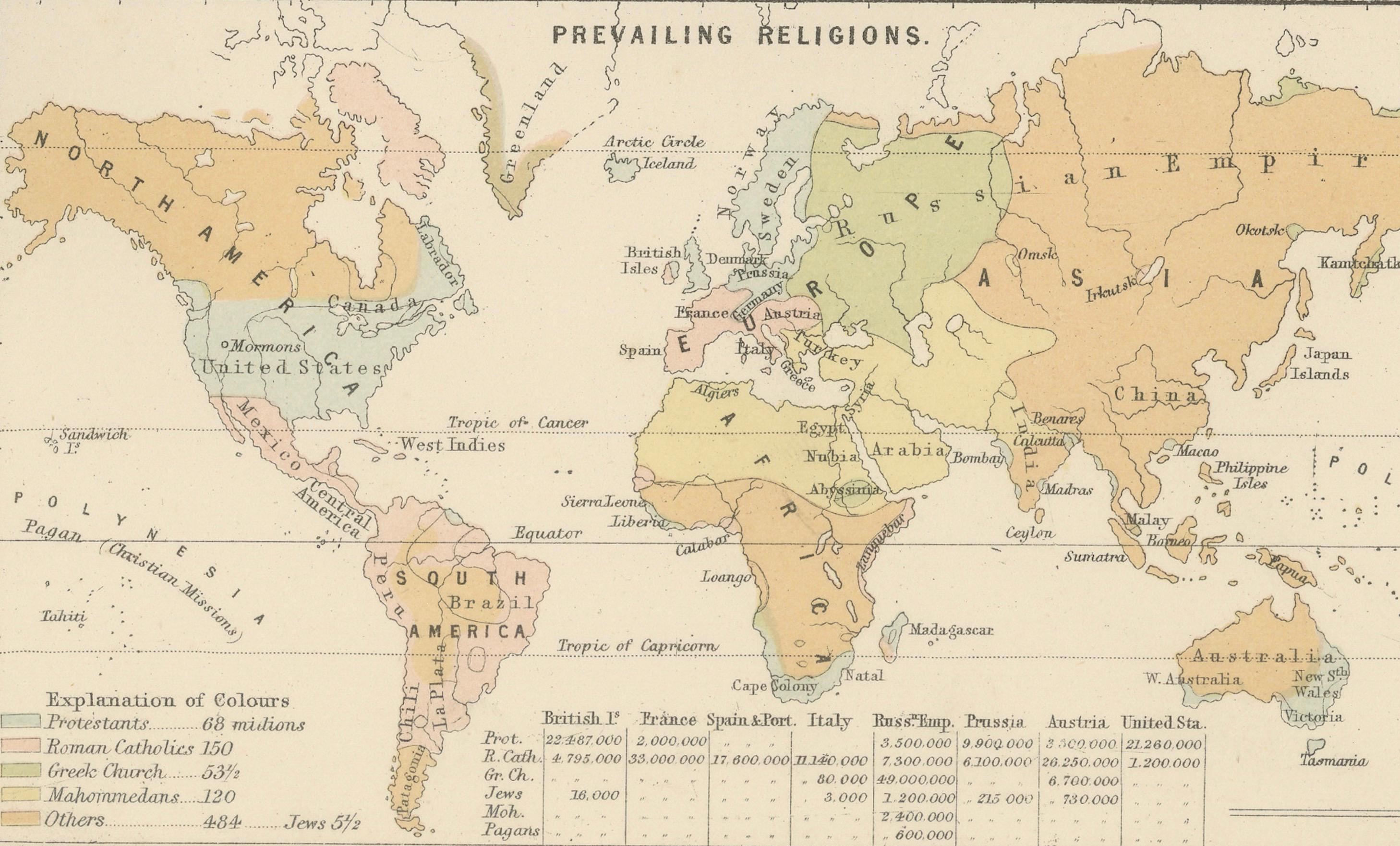
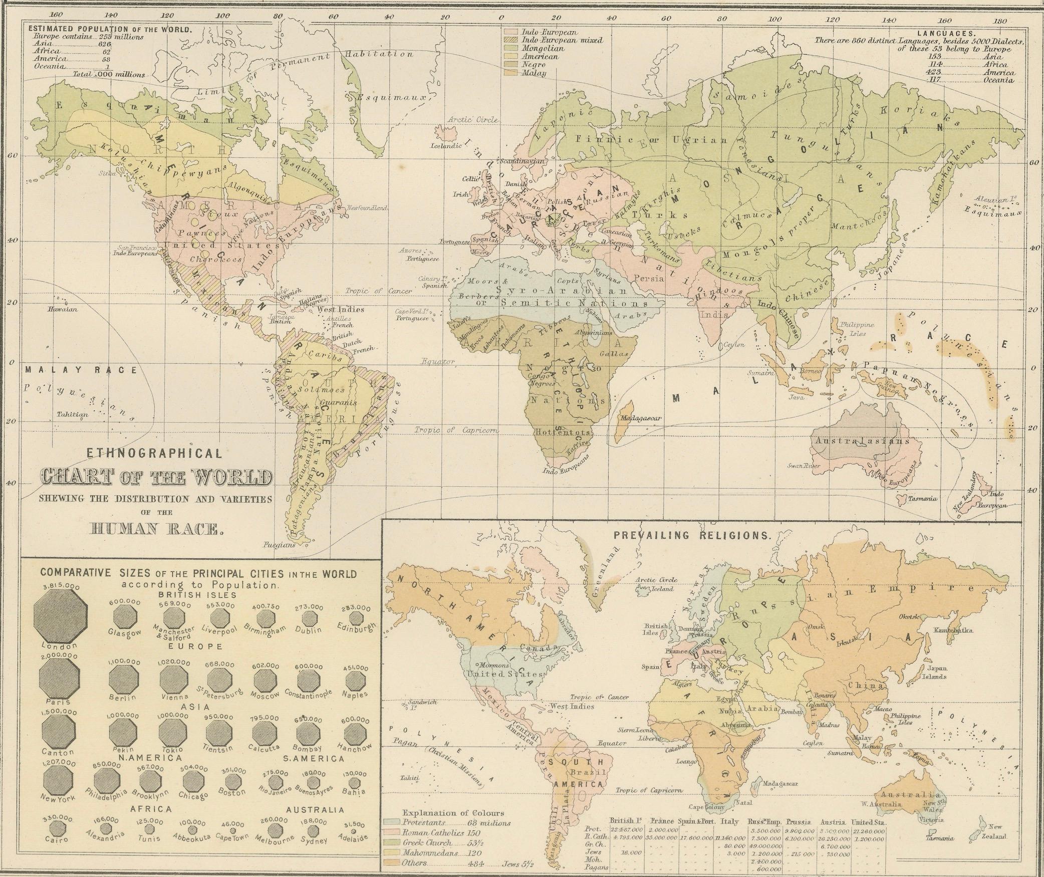
The lower section is the “Ethnographical Chart of the World Showing the Distribution and Varieties of the Human Race.” This map divides the continents by ethnographic groupings, reflecting contemporary 19th-century anthropological and cultural classifications. Alongside this is a map of prevailing world religions, color-coded to distinguish between Christianity, Islam, Hinduism, Buddhism, Judaism, and other traditions. A comparative chart of the sizes of major world cities by population further enhances the plate, offering a striking demographic snapshot of the late 1800s.
Together, these maps illustrate the Victorian fascination with categorization, science, and empire. They not only represent geography but also reflect how Europeans of the period viewed humanity and the natural world in relation to global order and progress. As such, they are an important historical document, combining physical and human geography into a single visual framework.
Condition report:
Very good condition. Original coloring is clear and well-preserved. Light toning in margins with faint age-related patina. No tears or significant damage. Plate mark visible. Sold with the frame.
Framing tips:
This plate works particularly well in a large double-window archival mat to show both upper and lower charts. For a striking display, use a neutral mat such as ivory or light cream, with a black or walnut frame to contrast the soft pastel tones. This presentation emphasizes its educational and decorative qualities.
Technique: Engraving with original hand coloring
Maker: Black’s General Atlas, Edinburgh, 1884