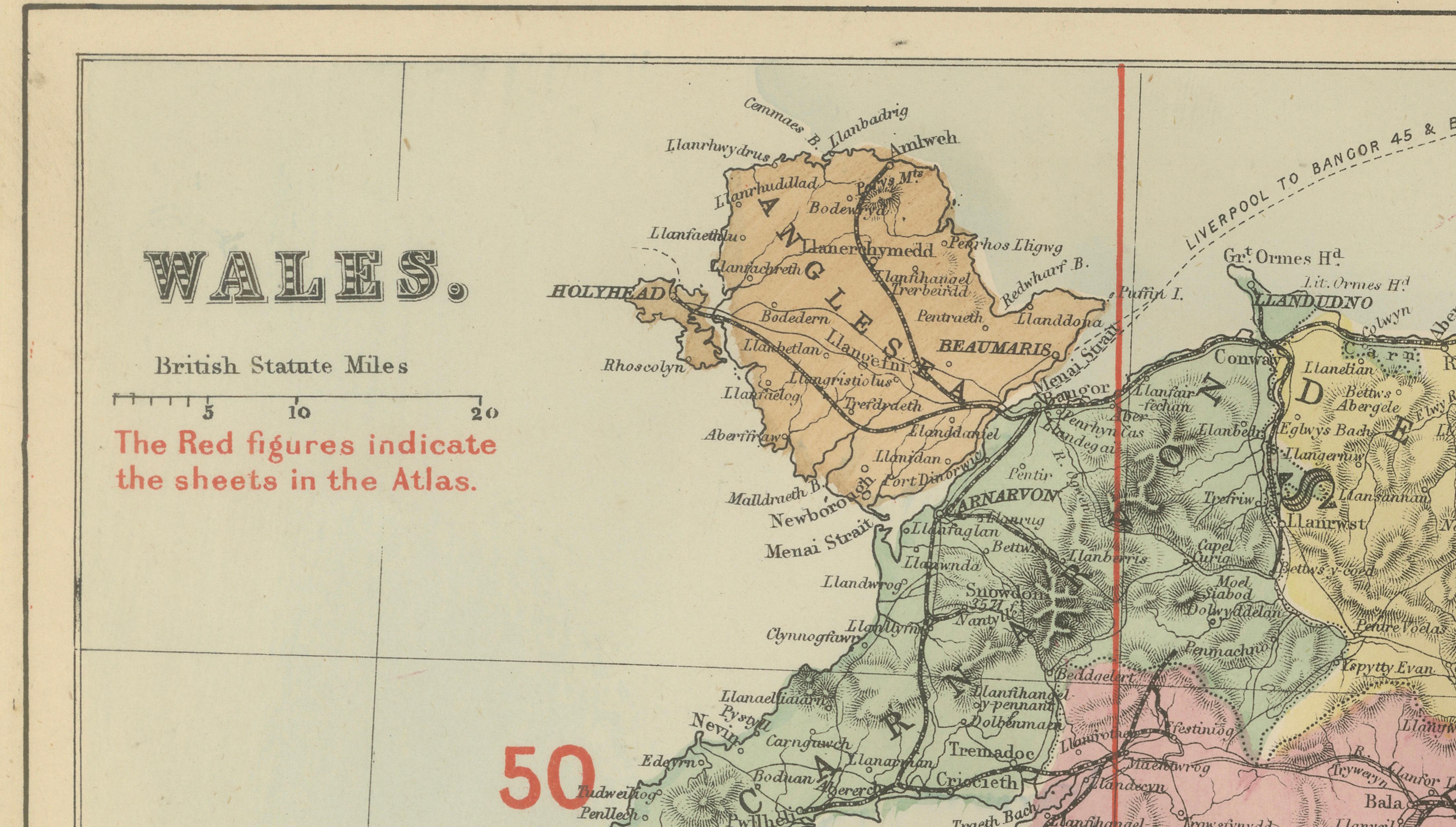
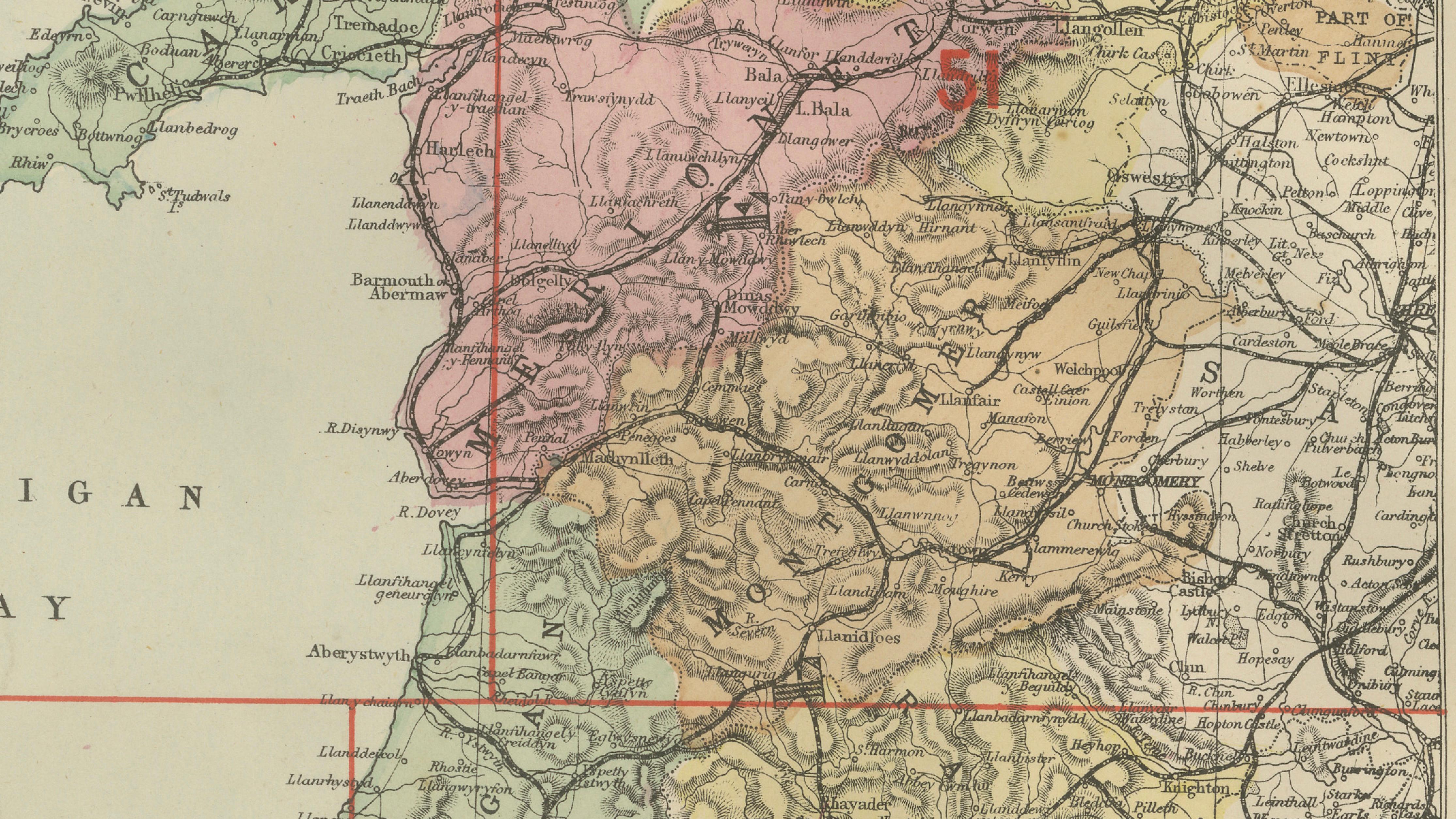
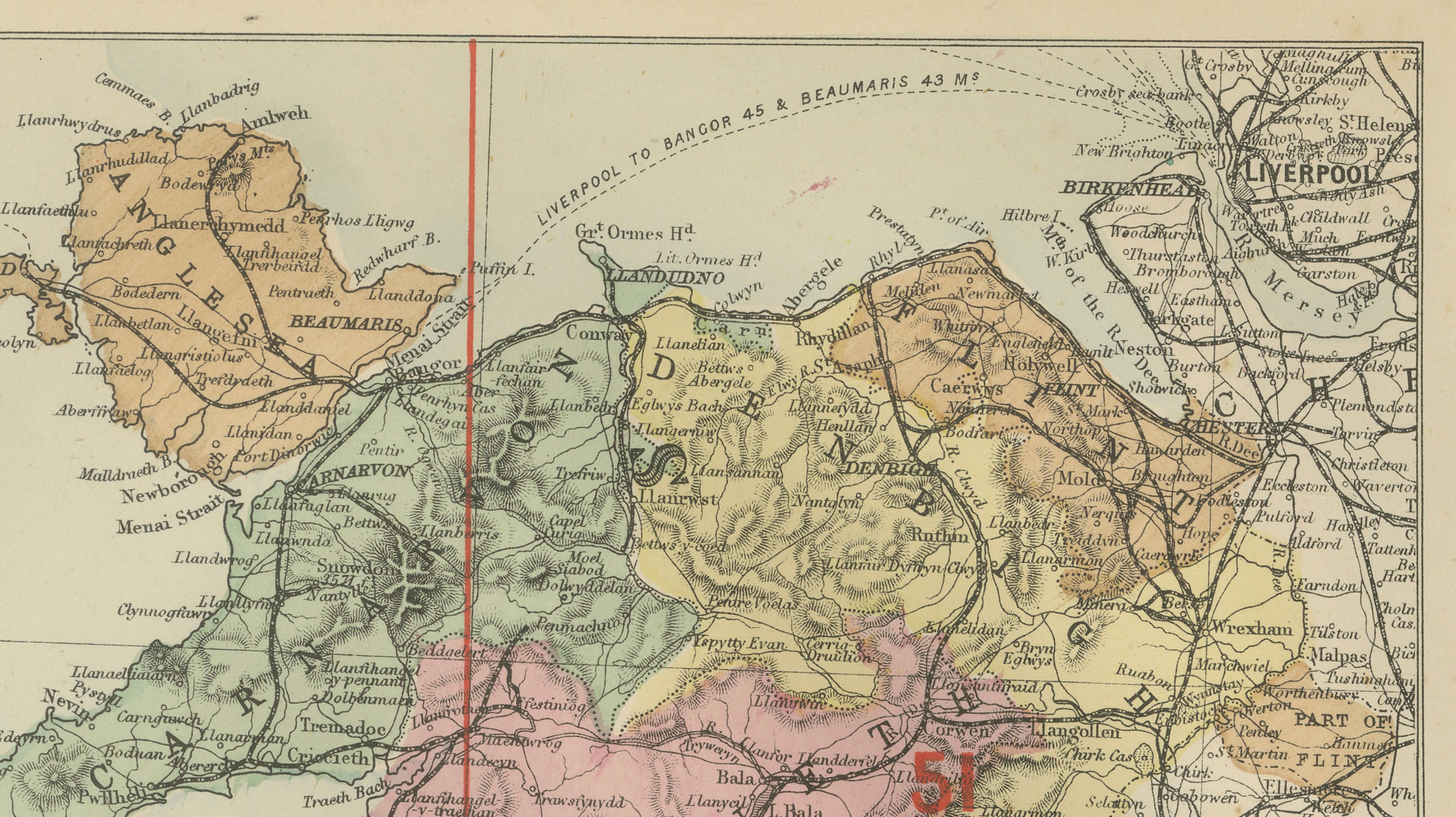
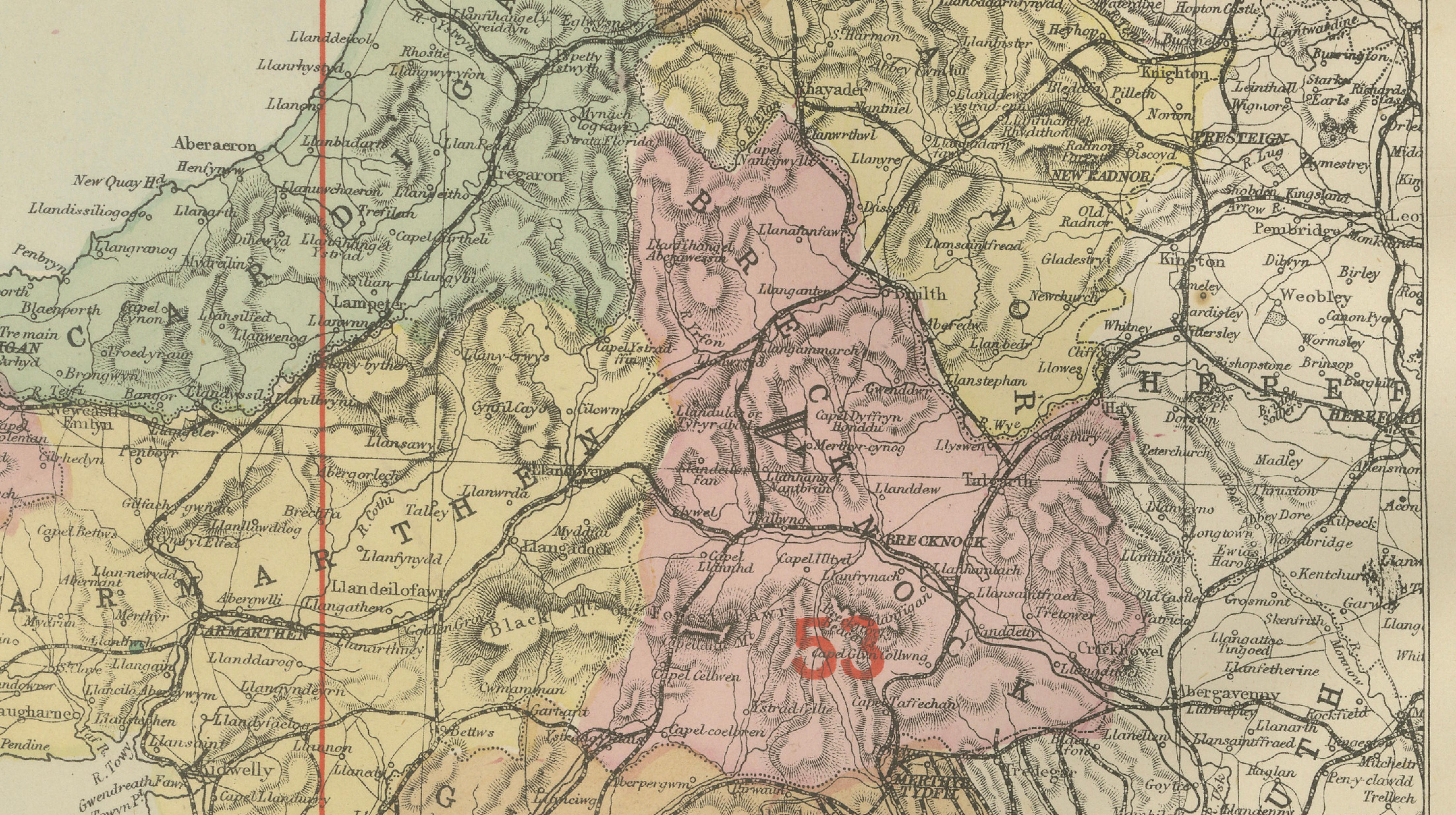
Antique Map of Wales, 1885 – County Colors, Railways & Coastal Detail
€ 200
Original antique · The actual sheet photographed · Certificate of authenticity on request · Sold unframed · Worldwide shipping from € 15 (rates)
Date
1885
Mapmaker / artist
George W. Bacon, London, 1885
Technique
Lithograph with original color
Sheet size
33.8 × 25 cm (13.3 × 9.8 in)
Condition
Good
Reference
BG-14216-1B
What the condition grades mean
Excellent
Bright and clean, with no faults worth mentioning.
Very good
Only light signs of age, such as faint toning.
Good
Normal signs of age for a sheet of this period: toning, some foxing, small marks or neat old repairs.
Fair
Clear faults such as staining, tears or repairs, priced to match.
Every fault we see is written in the condition note, and the whole sheet is shown uncropped in the photos.
Condition
Good antique condition. Light age toning and scattered spotting consistent with age. No major tears or losses; colors remain attractive and well-balanced.
About this sheet
Antique Map of Wales, 1885 – County Colors, Railways & Coastal Detail
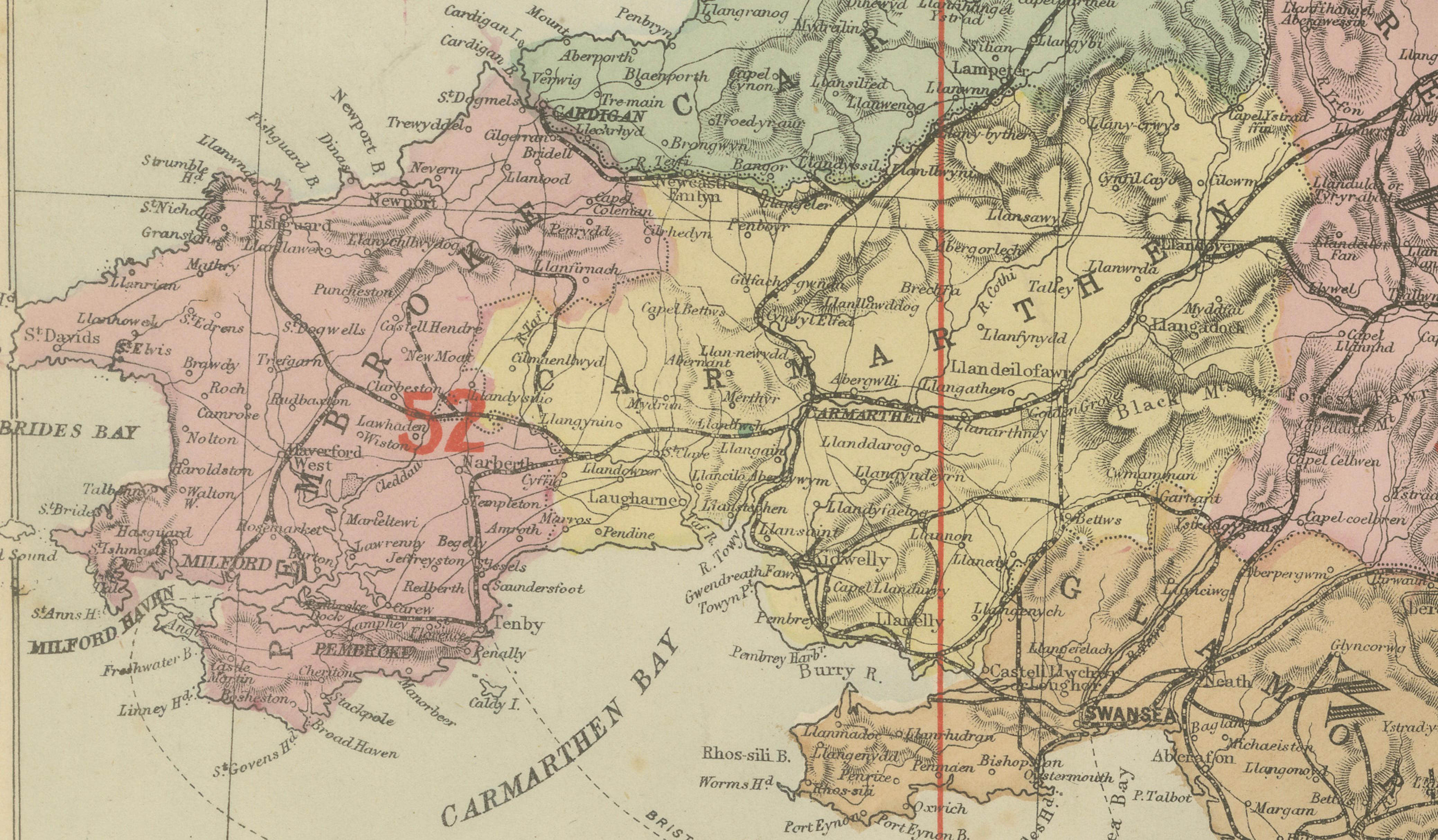
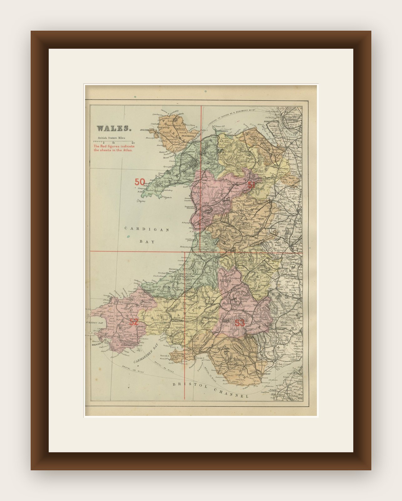
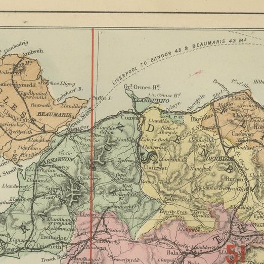
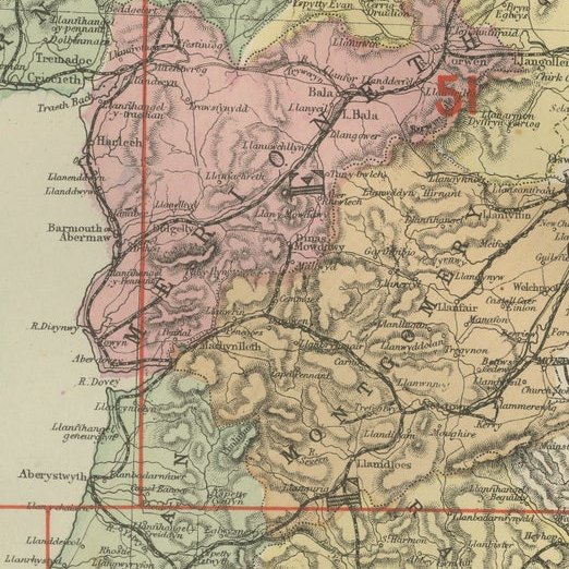
This decorative antique map of Wales was published in 1885 by George W. Bacon in London as part of the New Large Scale Ordnance Atlas of the British Isles with Plans of Towns. Based on Ordnance Survey mapping, it shows Wales divided into its historic counties, each delicately colored, with a dense network of railways, roads, rivers, and towns rendered in fine detail.
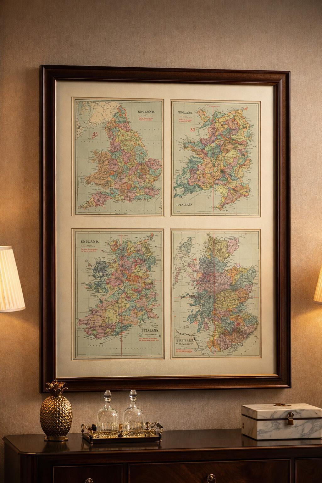
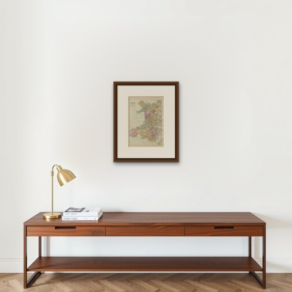
NOTE: The map is offered unframed, giving flexibility to select a frame that best suits the intended interior. The attached image in a frame is to give an idea only.
The map combines clarity with strong visual appeal. Soft pastel county coloring is balanced by crisp black engraving and striking red reference lines and sheet numbers, creating a composition that is both orderly and lively. Coastal features such as Cardigan Bay, St Bride’s Bay, and the Bristol Channel are clearly defined, giving the map a strong sense of place and movement.
Well suited for decorative interiors, this map works beautifully as wall art in studies, living spaces, offices, or hospitality settings. It offers historical depth without feeling academic, making it appealing to interior designers and collectors seeking classic British imagery with warmth and character.
Condition Report: Good antique condition. Light age toning and scattered spotting consistent with age. No major tears or losses; colors remain attractive and well-balanced.
Framing Tips: A dark wood, black, or ebonized frame pairs well with the historic look. An ivory or warm off-white mat will enhance the soft colors and keep the presentation elegant.