About this sheet
Antique Zoological and Botanical Charts of the World – Black’s Atlas, 1884
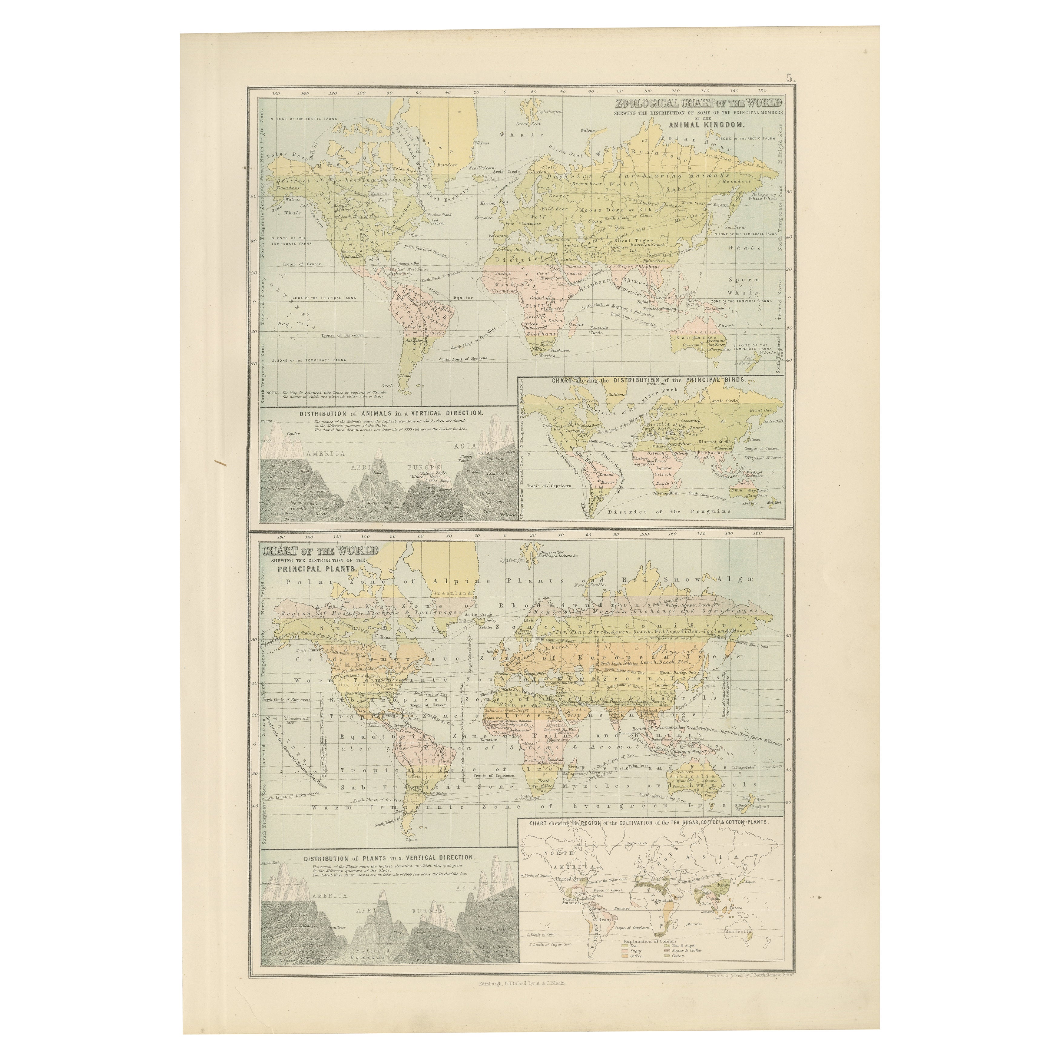
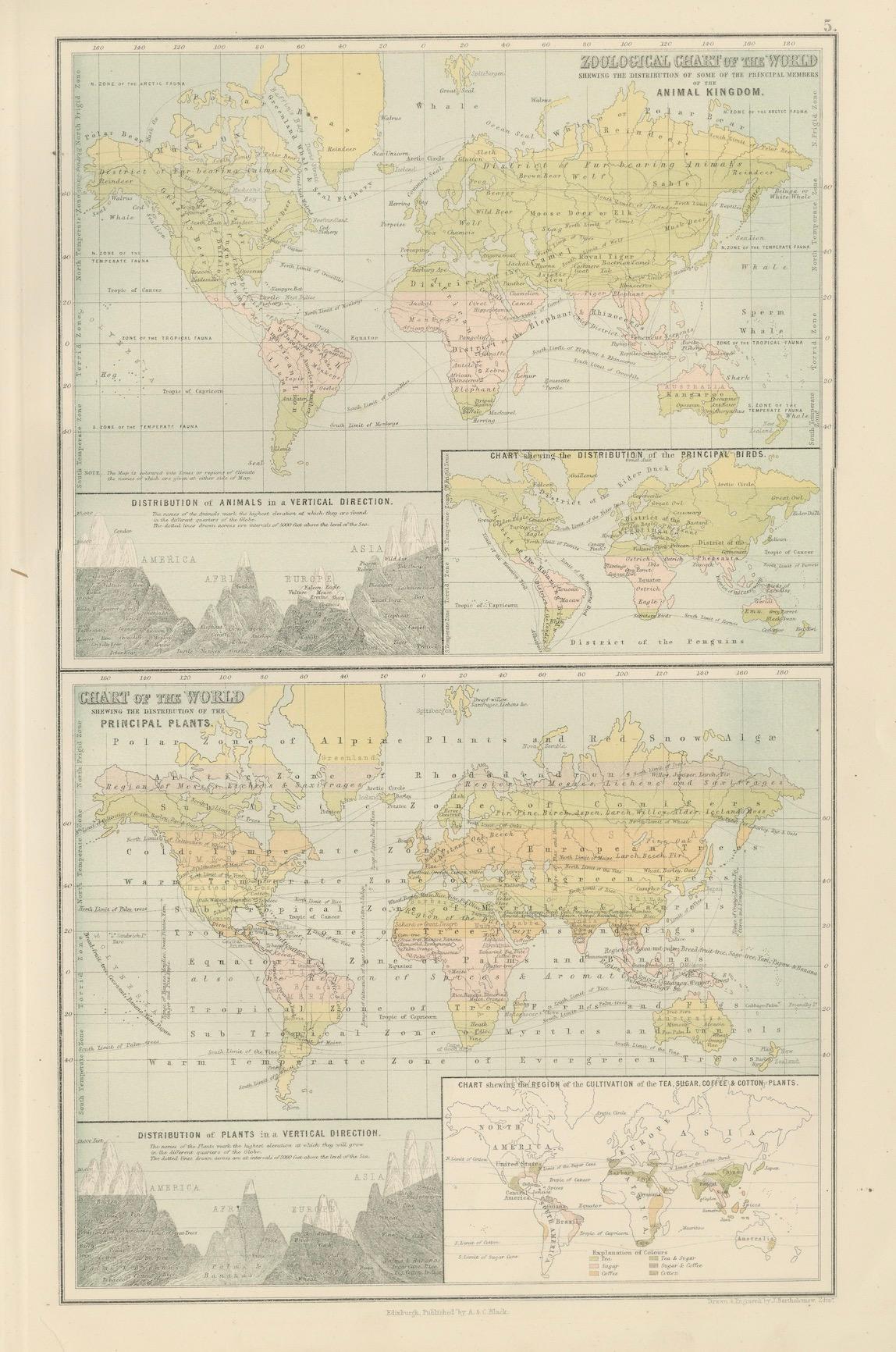
This double plate from the New and Revised Edition of Black’s General Atlas of the World, published in Edinburgh in 1884, presents a rich scientific overview of the natural world. It combines zoological and botanical information in a global context, reflecting the Victorian fascination with classification, exploration, and natural history.
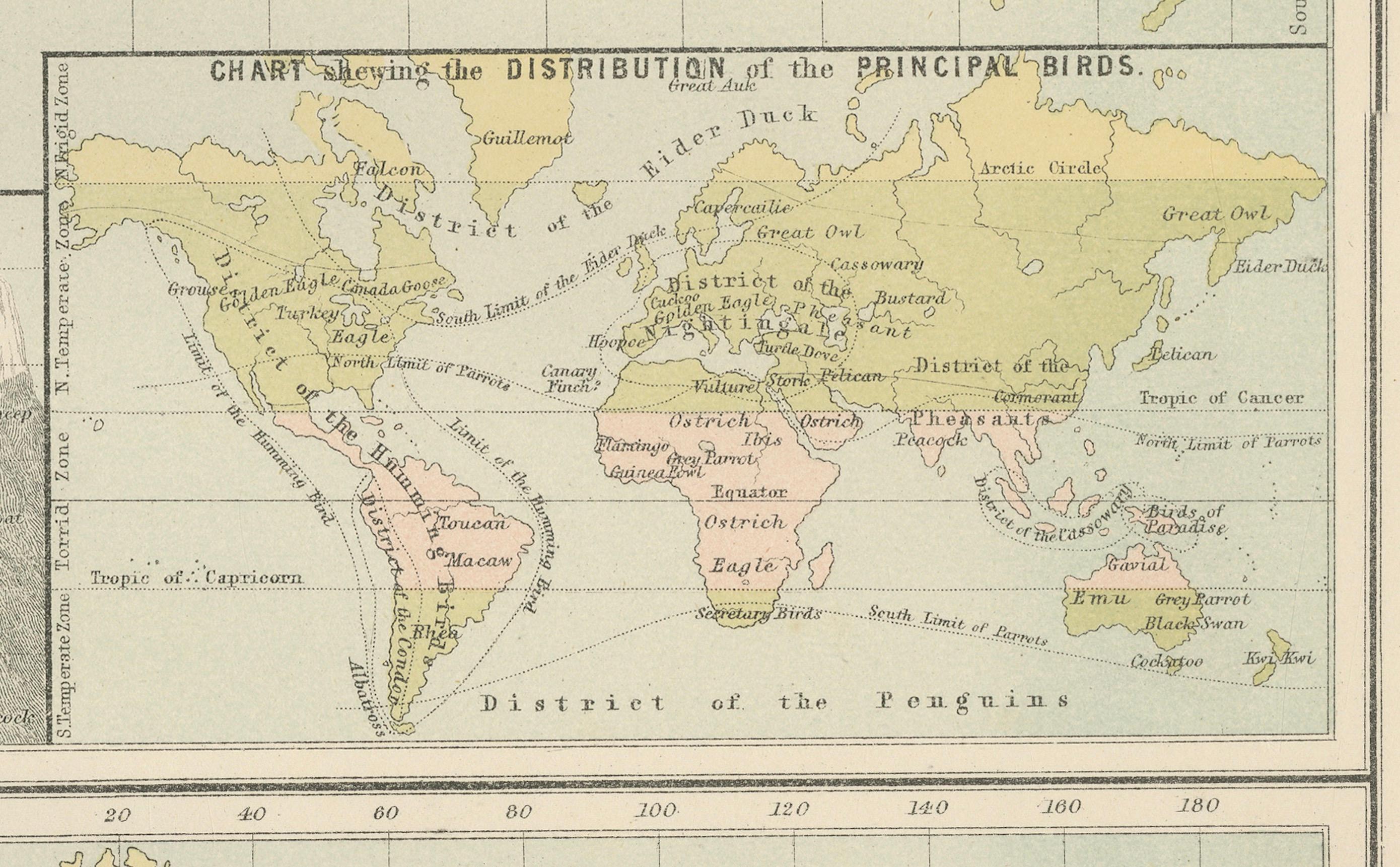
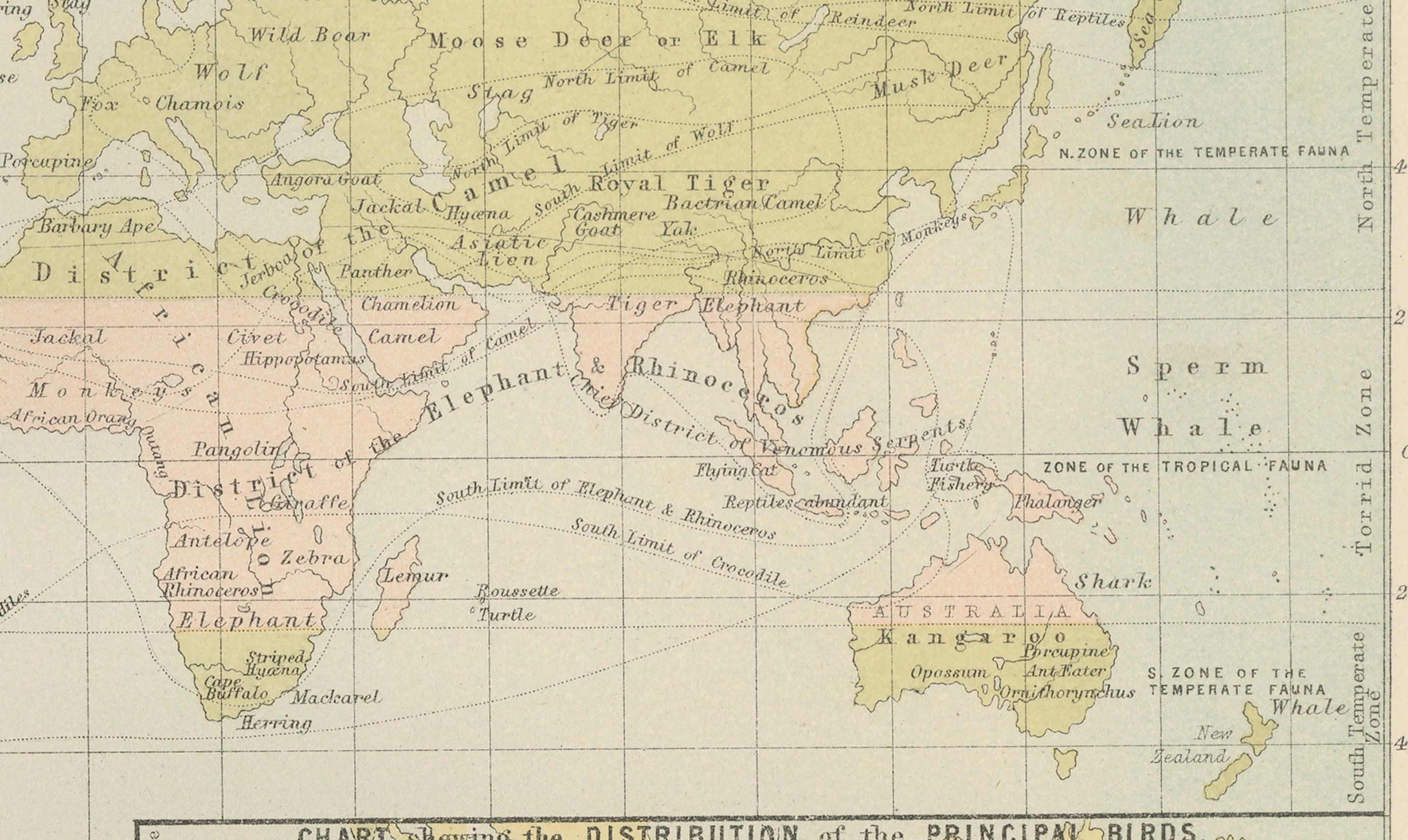
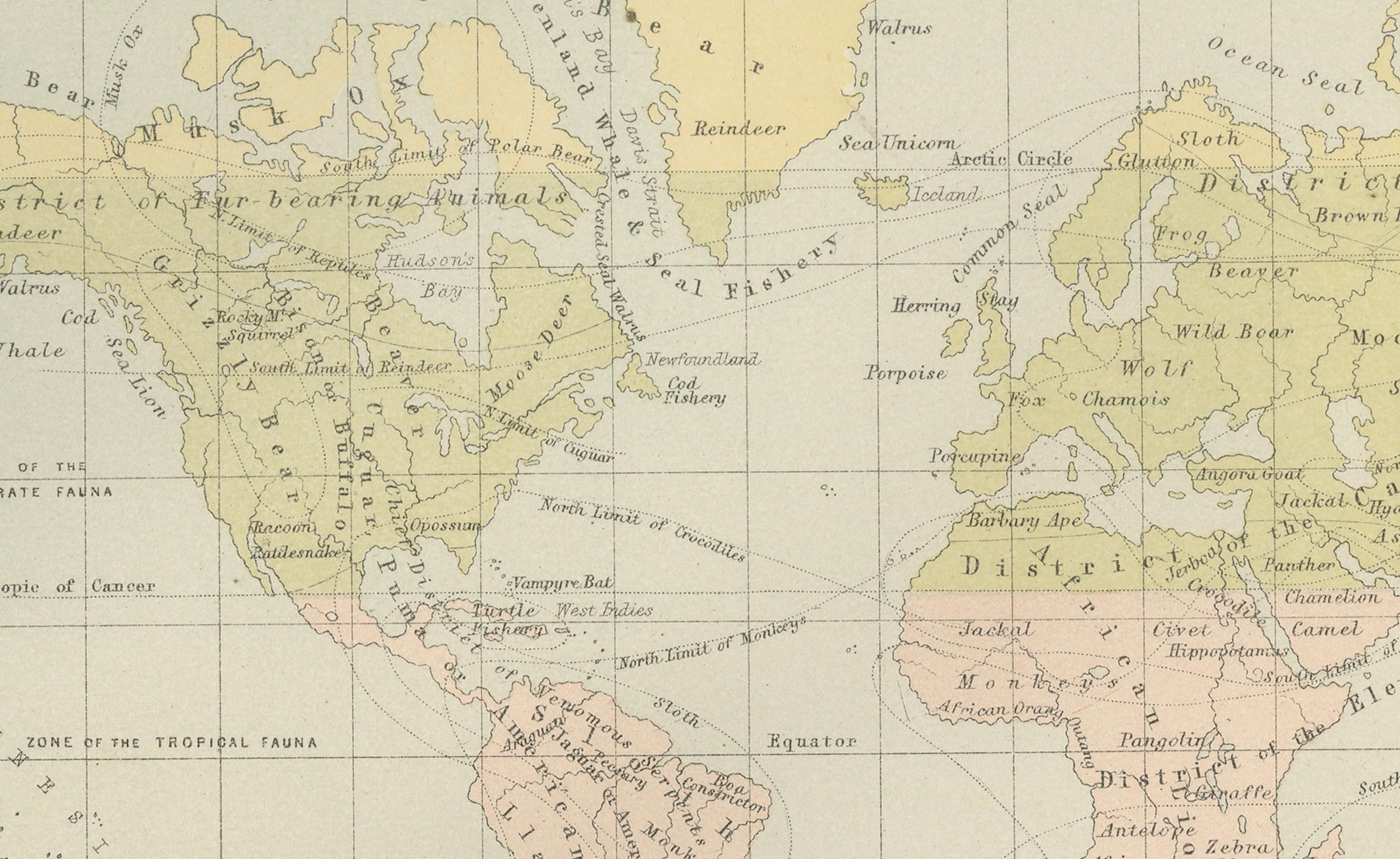
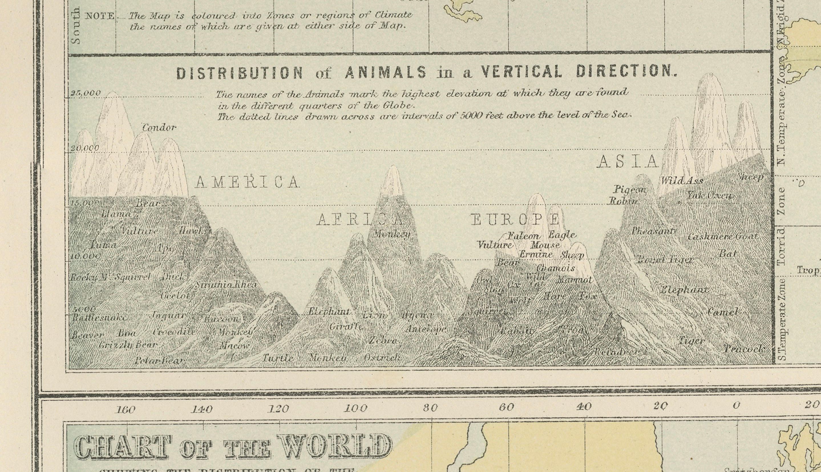
The upper chart, titled “Zoological Chart of the World Showing the Distribution of Some of the Principal Members of the Animal Kingdom,” maps out the regions where different mammals and birds are found. It includes an inset showing the distribution of principal bird groups and a vertical diagram illustrating how animal life varies with elevation, from lowland species to those inhabiting alpine environments.
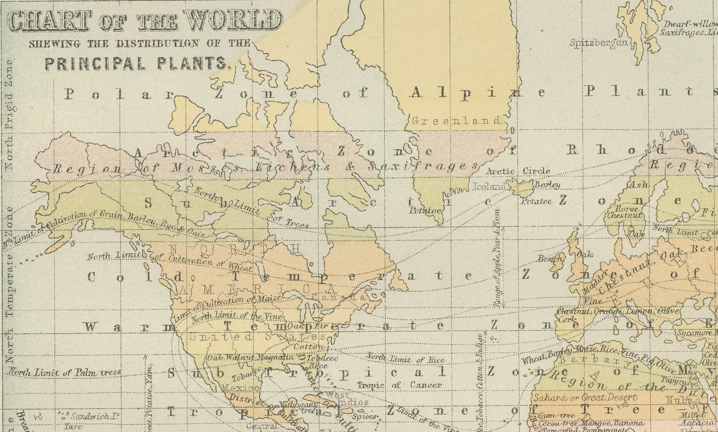
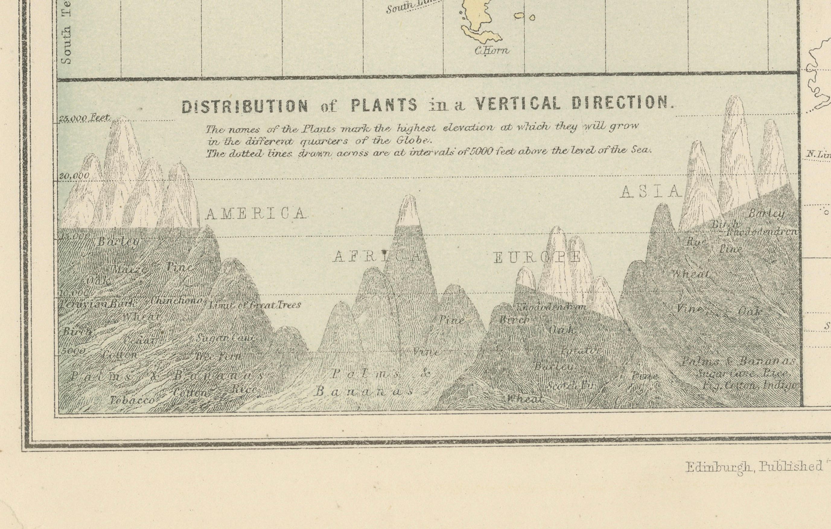
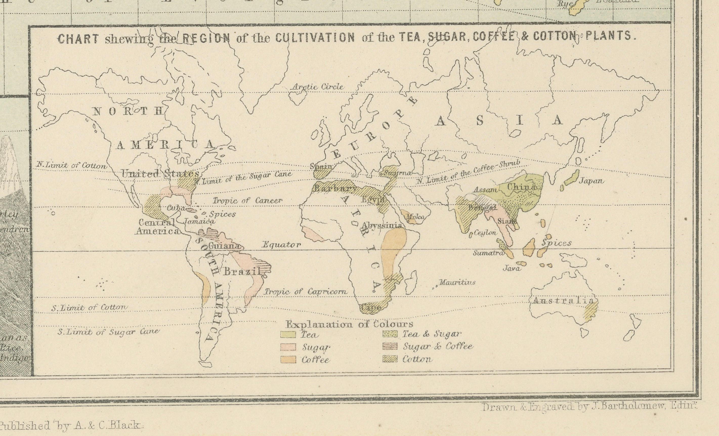
The lower chart, “Chart of the World Showing the Distribution of the Principal Plants,” applies a similar approach to vegetation. It identifies the world’s dominant plant regions, from tropical forests to temperate grasslands and alpine flora. Insets highlight the vertical distribution of plants and the global cultivation of key economic crops such as tea, sugar, coffee, and cotton.
Together, these charts provide a striking synthesis of zoological and botanical knowledge as understood in the late 19th century. They not only reveal the geographic spread of animals and plants but also the growing European interest in global trade commodities and the ecological variations of climate and altitude.
For collectors, this plate is a fine example of Victorian scientific mapping, combining careful engraving with pastel hand-coloring. It illustrates the interconnectedness of natural history, geography, and commerce during the high point of exploration and empire.
Condition report:
Very good condition. Original coloring remains clear and attractive. Light marginal toning with a mild age patina, consistent with atlas maps of this date. Small tear in lower border, outside image. Sold without frame.
Framing tips:
This sheet is well suited to a double-window archival mat, allowing both the zoological and botanical charts to be displayed in balance. A light ivory or pale green mat pairs nicely with the pastel color palette, while a dark oak or black frame creates an elegant contrast. For an academic or library-style display, a simple gilt frame enhances its 19th-century scholarly character.
Technique: Engraving with original hand coloring
Maker: Black’s General Atlas, Edinburgh, 1884