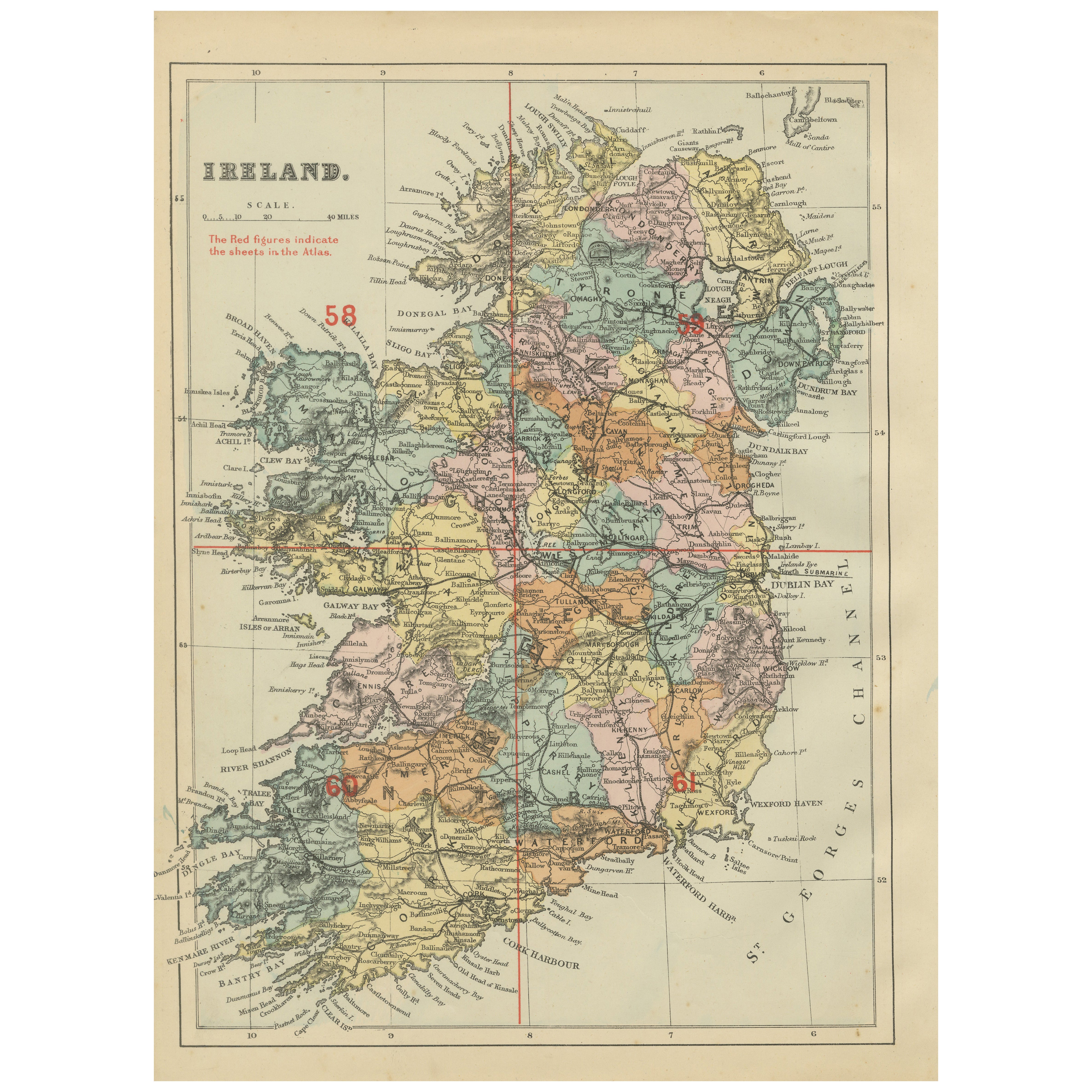
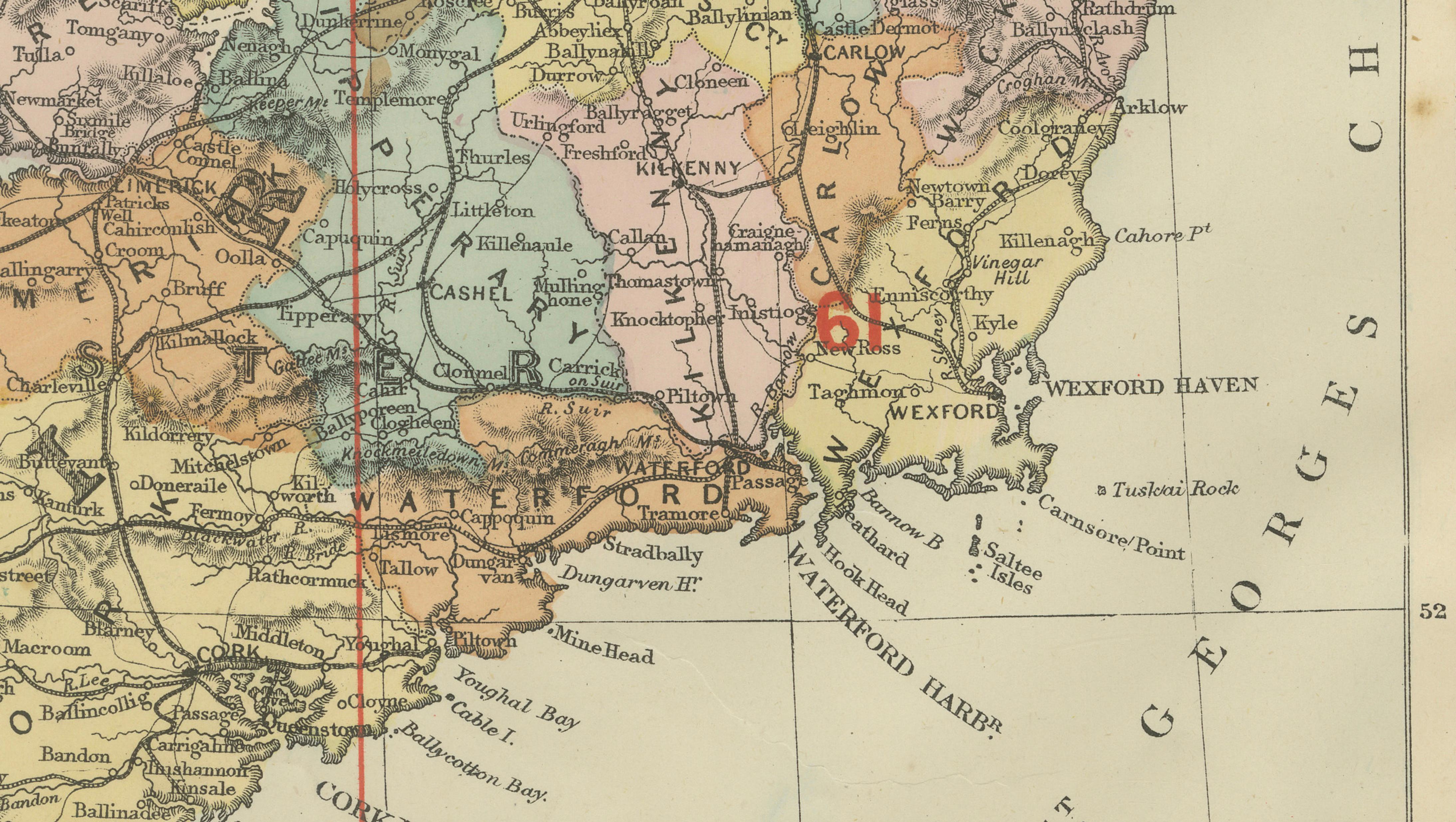
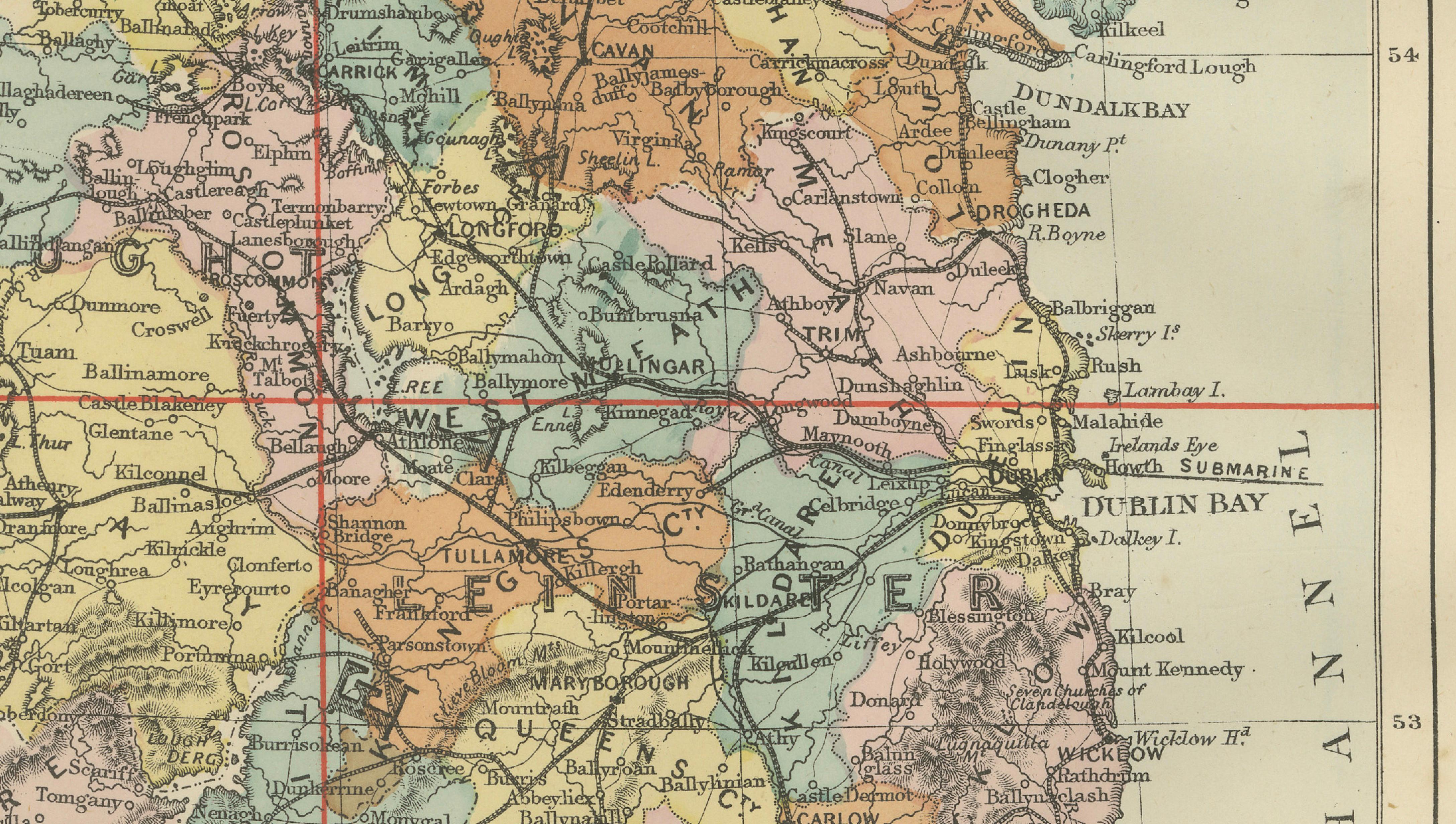
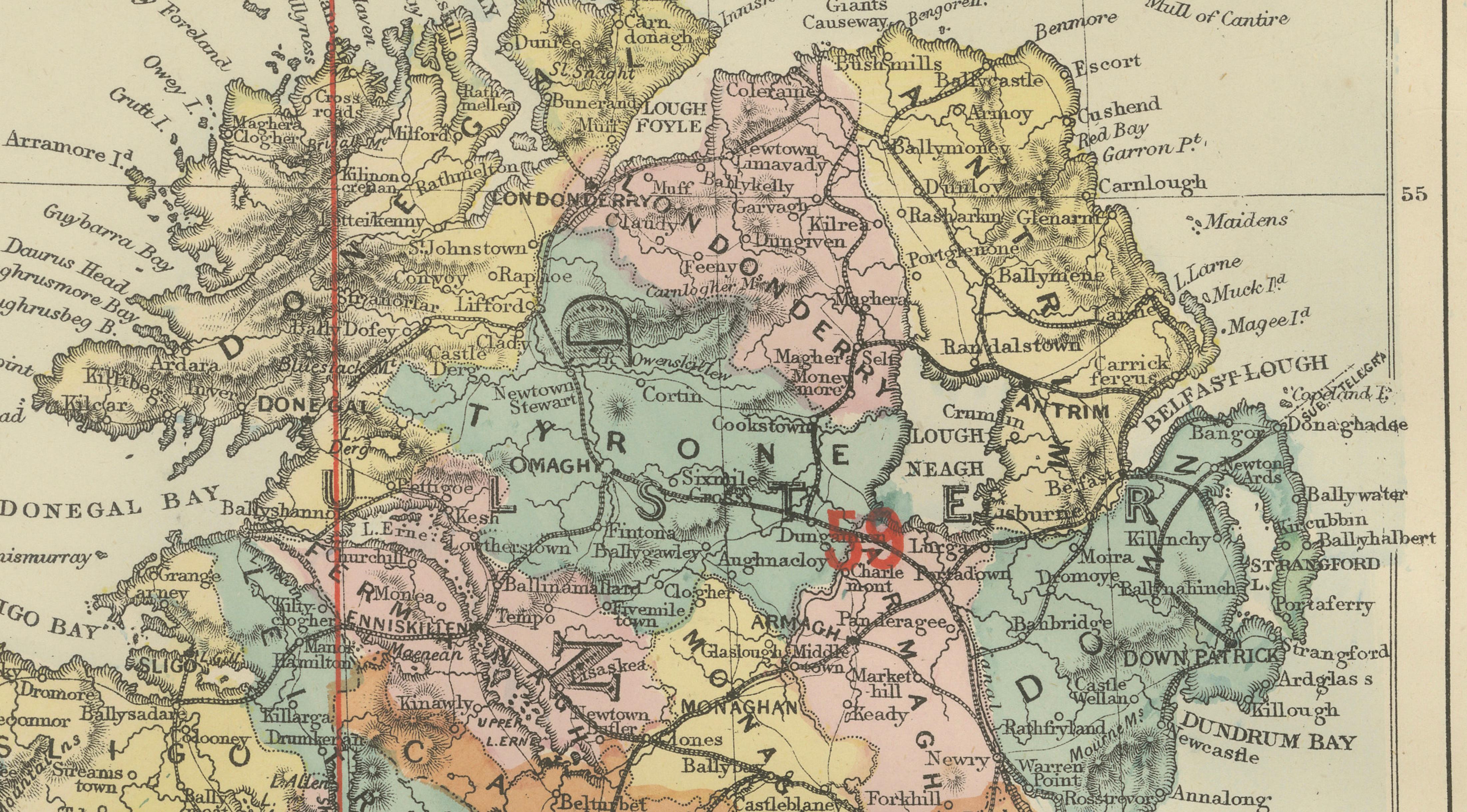
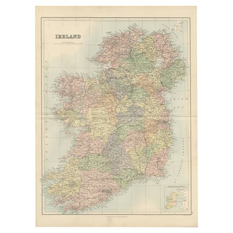
Antique Map of Ireland, 1885 – County Colors, Railways & Coastal Detail
€ 200
One of a kind: this is the sheet in the photographs. Ships from Langweer, the Netherlands.
Date
1885
Sheet size
33.8 × 25 cm (13.3 × 9.8 in)
Condition
Good
Reference
BG-14216-2A
Condition
Good antique condition. Light age toning and scattered spotting consistent with age. No major tears or losses; original colors remain attractive and balanced.
About this sheet
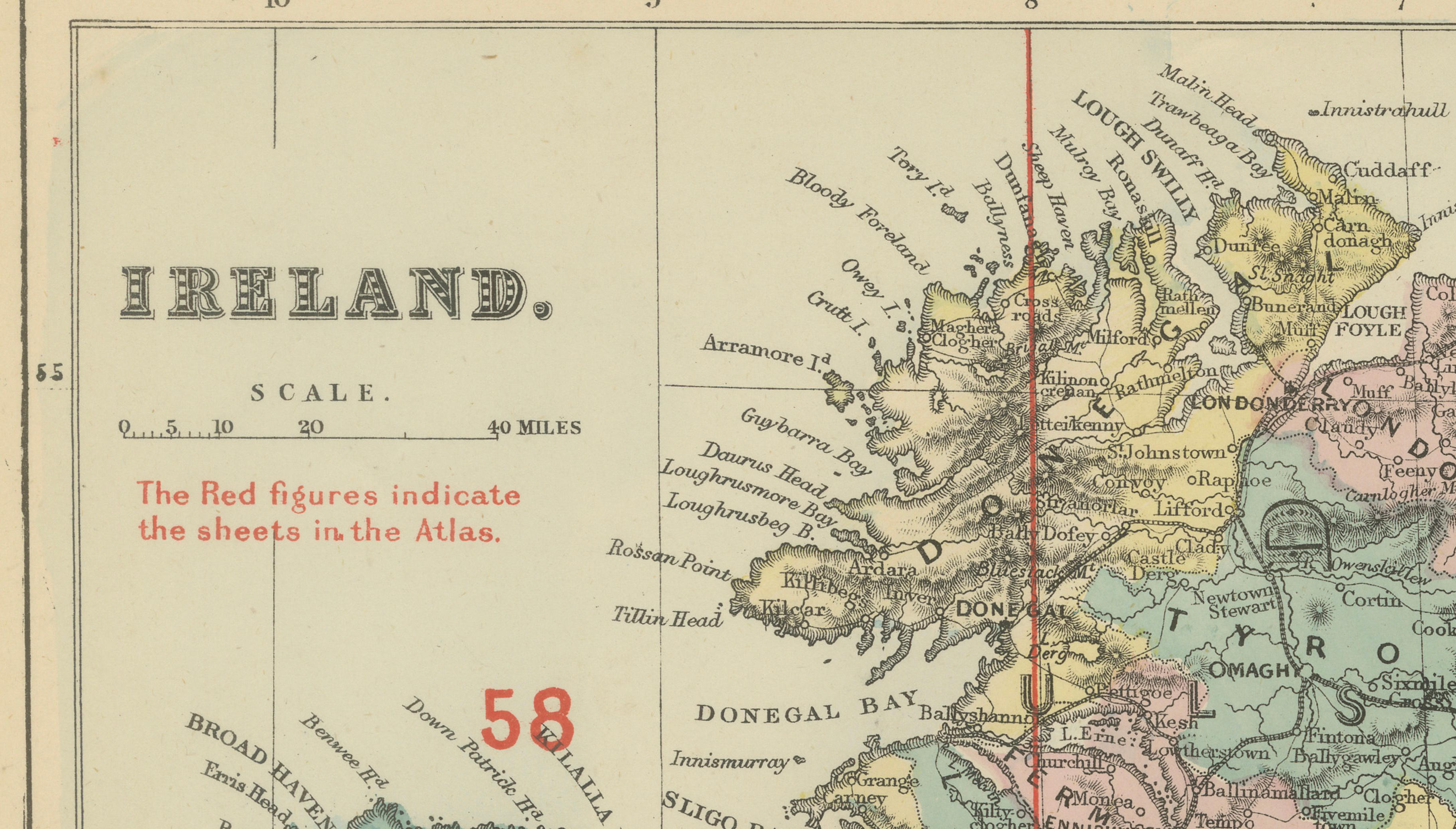
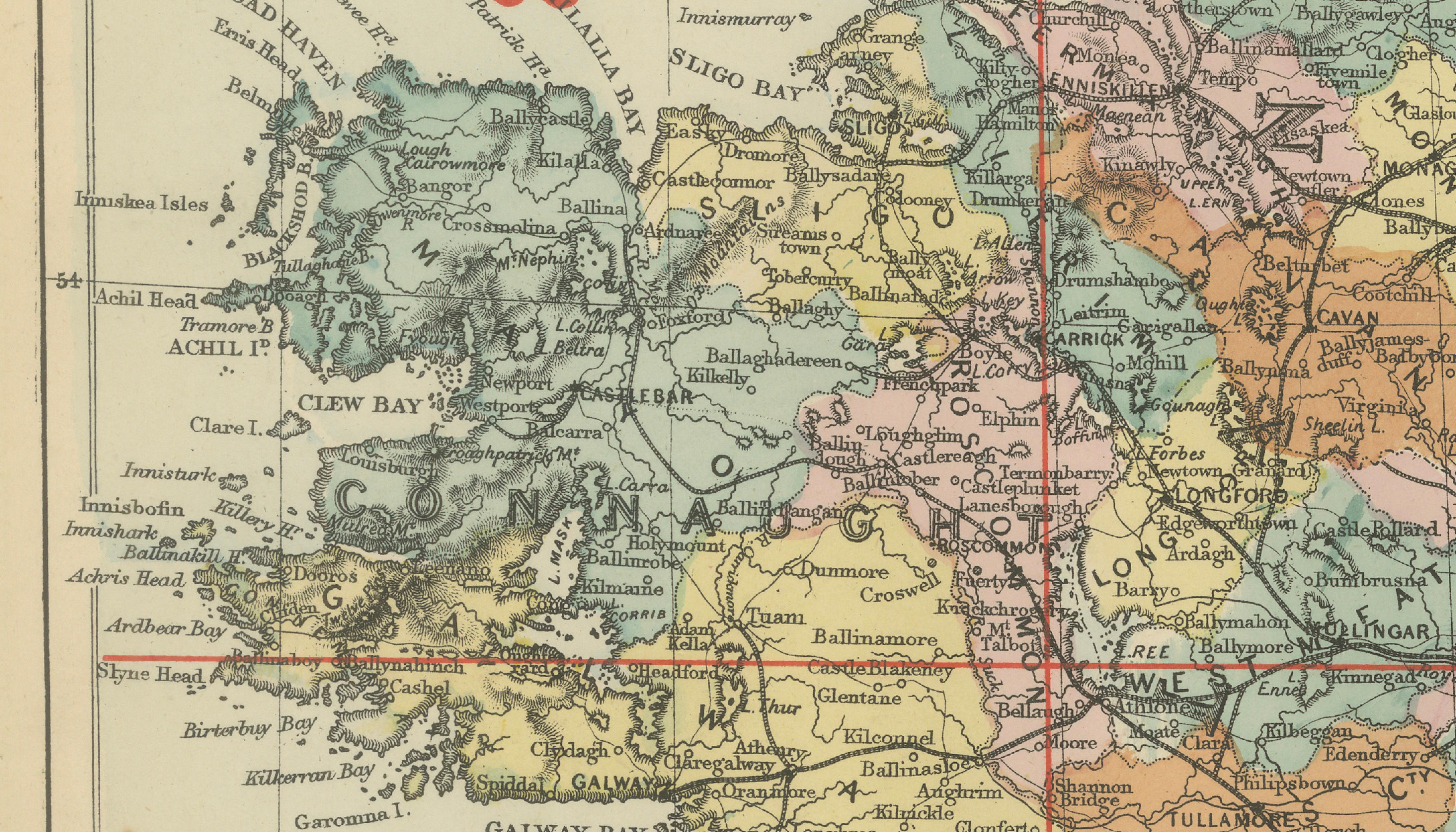
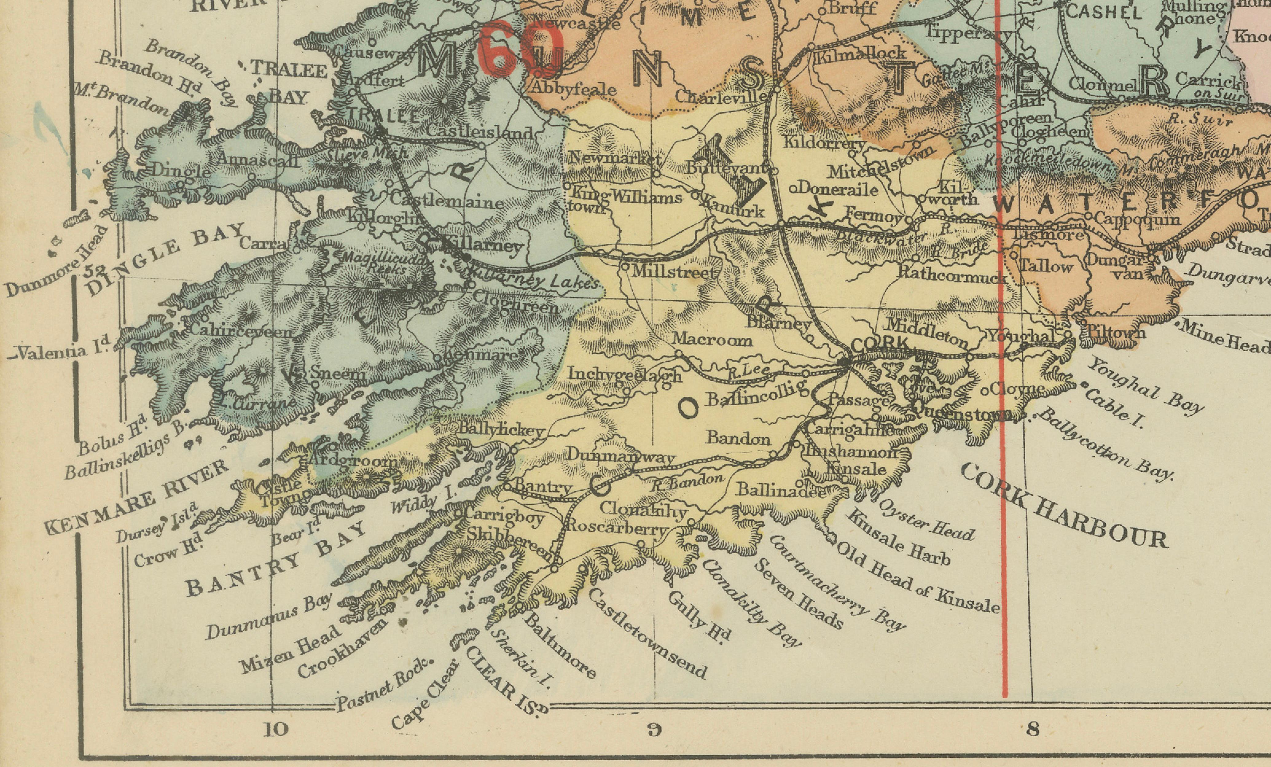
Antique Map of Ireland, 1885 – County Colors, Railways & Coastal Detail This richly decorative antique map of Ireland was published in 1885 by George W. Bacon in London as part of the New Large Scale Ordnance Atlas of the British Isles with Plans of Towns. Based on Ordnance Survey data, it presents Ireland divided into its historic counties, each distinguished by soft original color and overlaid with an intricate network of railways, roads, rivers, and towns.
NOTE: The map is offered unframed, giving flexibility to select a frame that best suits the intended interior.
The visual appeal lies in the balance between density and elegance. Pastel county coloring is paired with crisp black engraving and striking red reference lines and sheet numbers, giving the map structure and rhythm. The dramatic Irish coastline—featuring Galway Bay, Donegal Bay, Cork Harbour, and Dublin Bay—is clearly articulated, making the map especially engaging as a wall piece.
Ideal for decorative interiors, this map works beautifully in studies, libraries, living spaces, offices, or hospitality settings. It conveys a strong sense of place and heritage while remaining warm, approachable, and visually harmonious—well suited to both classic and contemporary interiors.
Condition Report: Good antique condition. Light age toning and scattered spotting consistent with age. No major tears or losses; original colors remain attractive and balanced.
Framing Tips: A dark wood, black, or ebonized frame complements the historic character. Use an ivory or warm off-white mat to highlight the pastel colors and maintain a refined, decorative look.
Technique: Lithograph with original color Maker: George W. Bacon, London, 1885