About this sheet
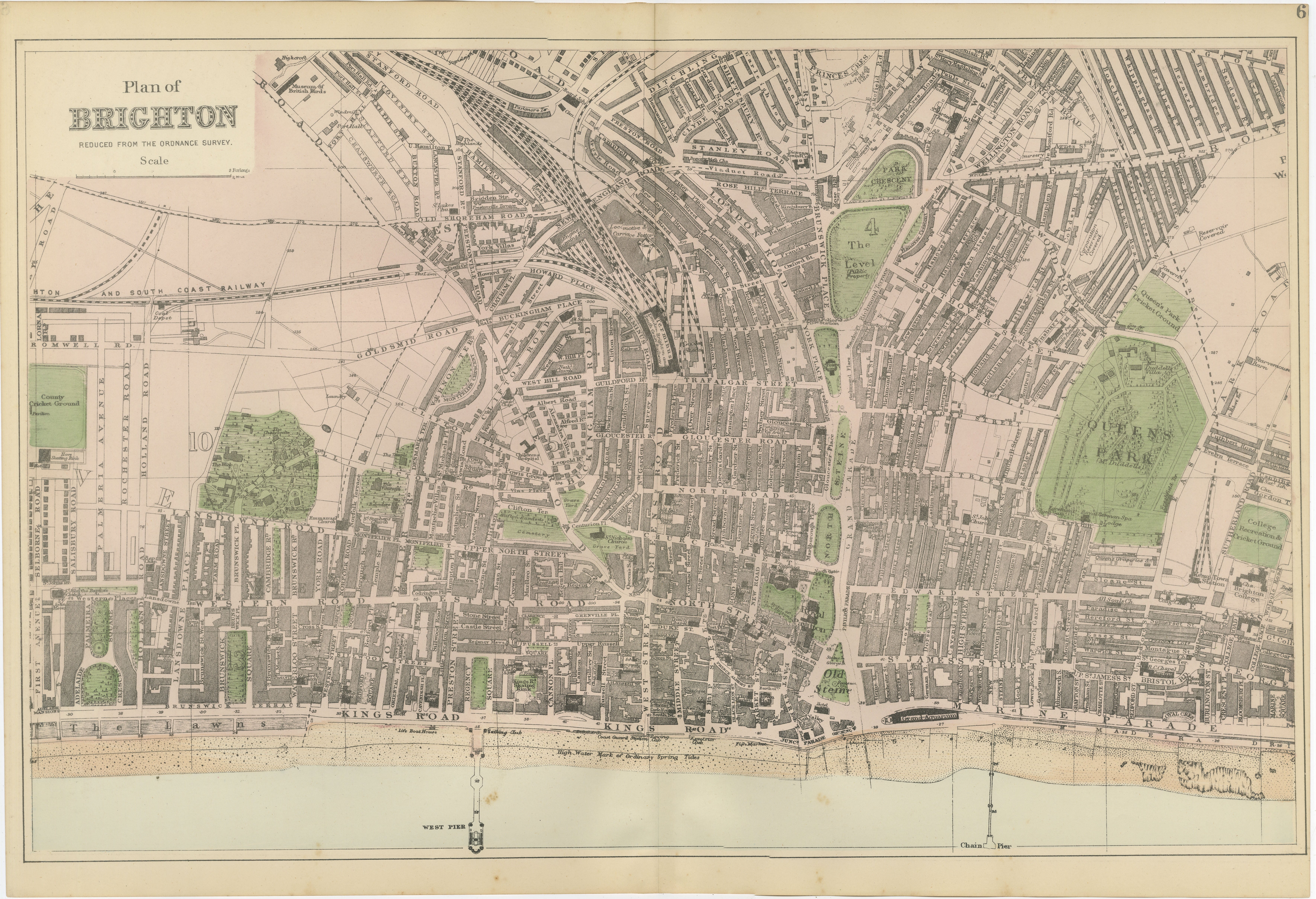
Decorative Map of Brighton Seafront, Victorian Coastal City Plan, 1885
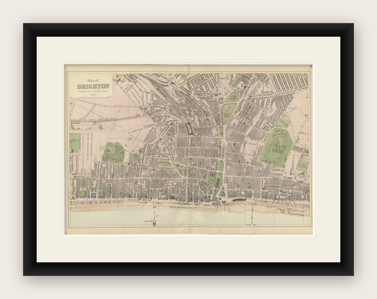
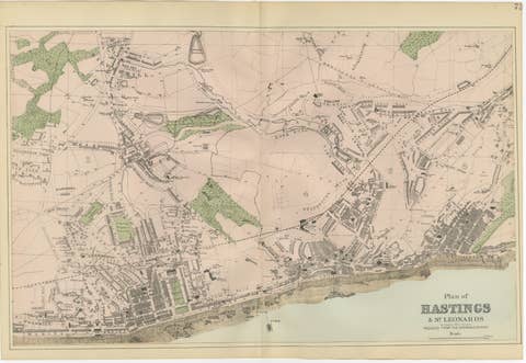
This finely engraved Victorian map titled “Plan of Brighton” offers a detailed and highly decorative view of one of England’s most fashionable seaside resorts during the late nineteenth century. Published in 1885 and reduced from the Ordnance Survey, the map captures Brighton at the height of its popularity as a coastal retreat, combining elegant urban planning with its iconic maritime setting.
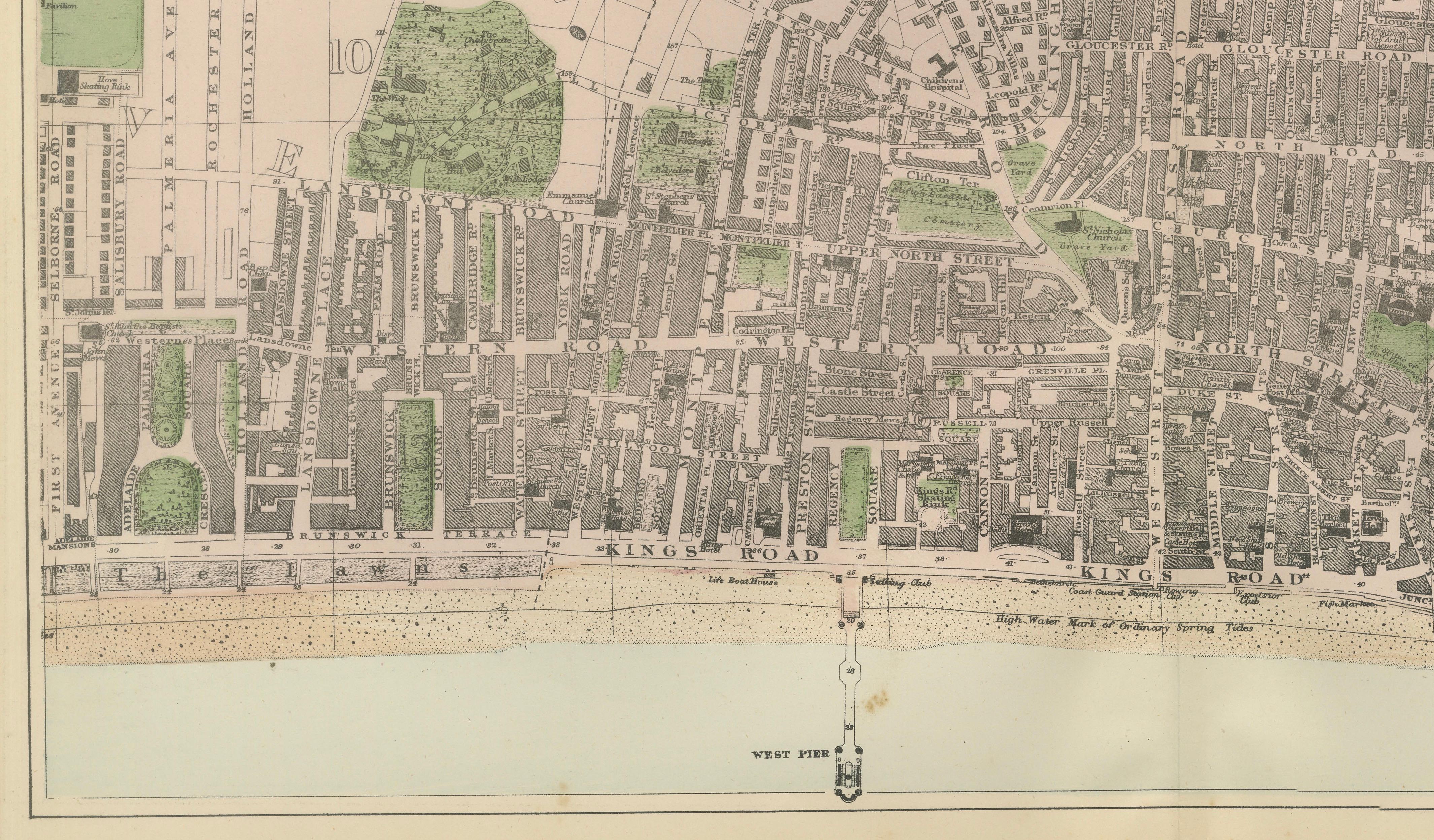
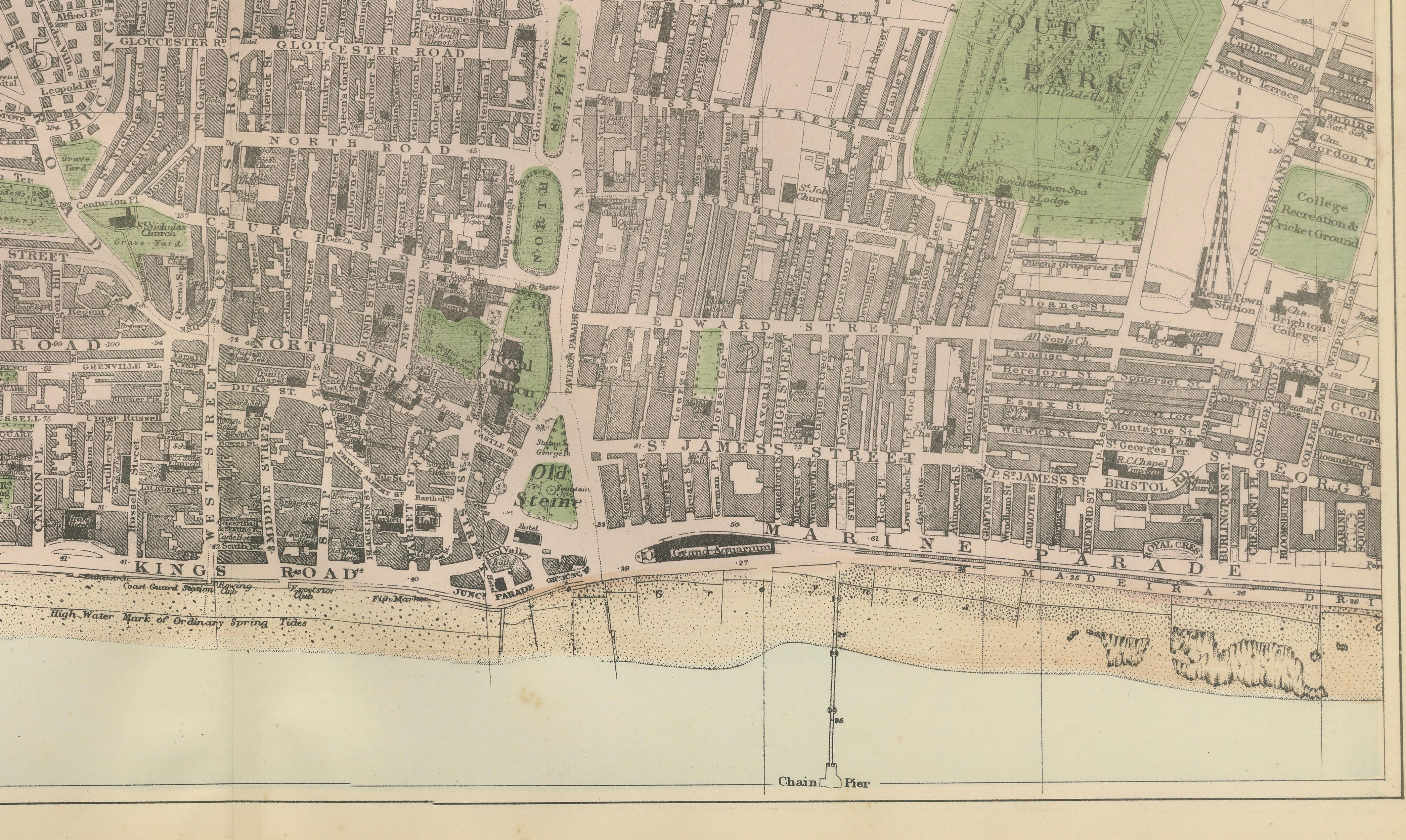
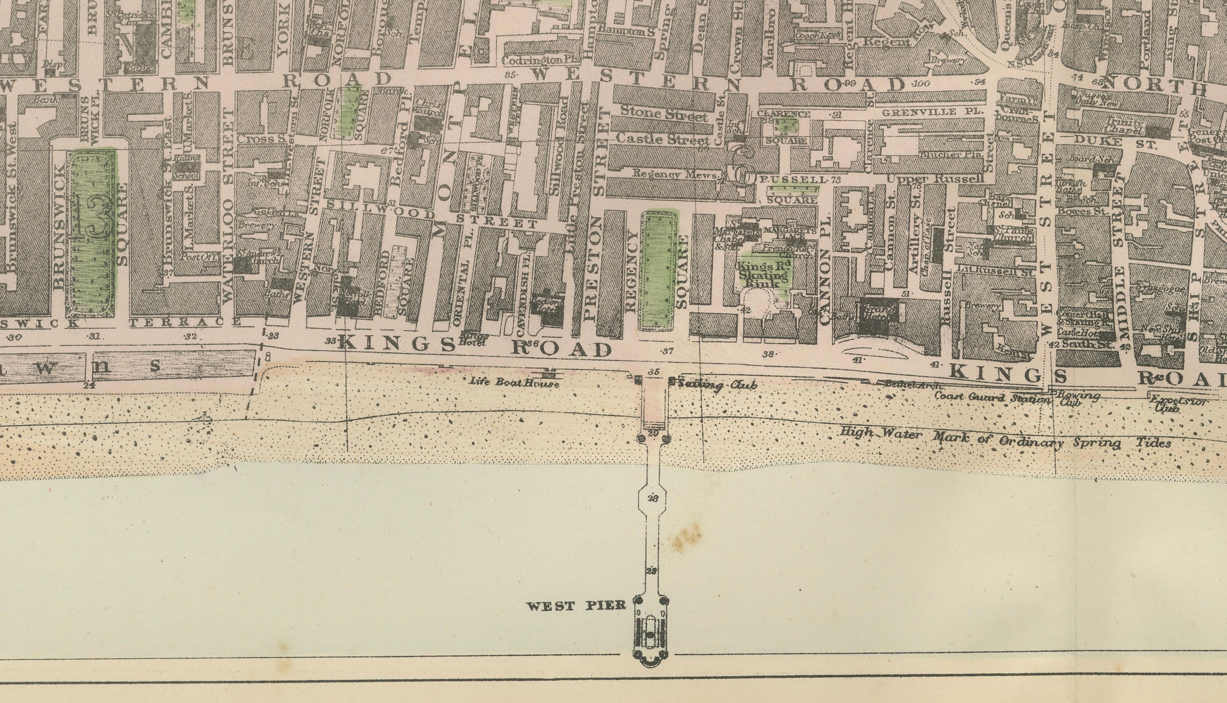
The composition is centered along the sweeping seafront, with the English Channel forming a calm horizontal base to the image. The famous promenade stretches across the lower edge, including the West Pier and Chain Pier, both clearly depicted extending into the sea—symbols of Brighton’s leisure culture and Victorian engineering. Kings Road runs parallel to the shoreline, anchoring the city’s social and commercial life along the coast.
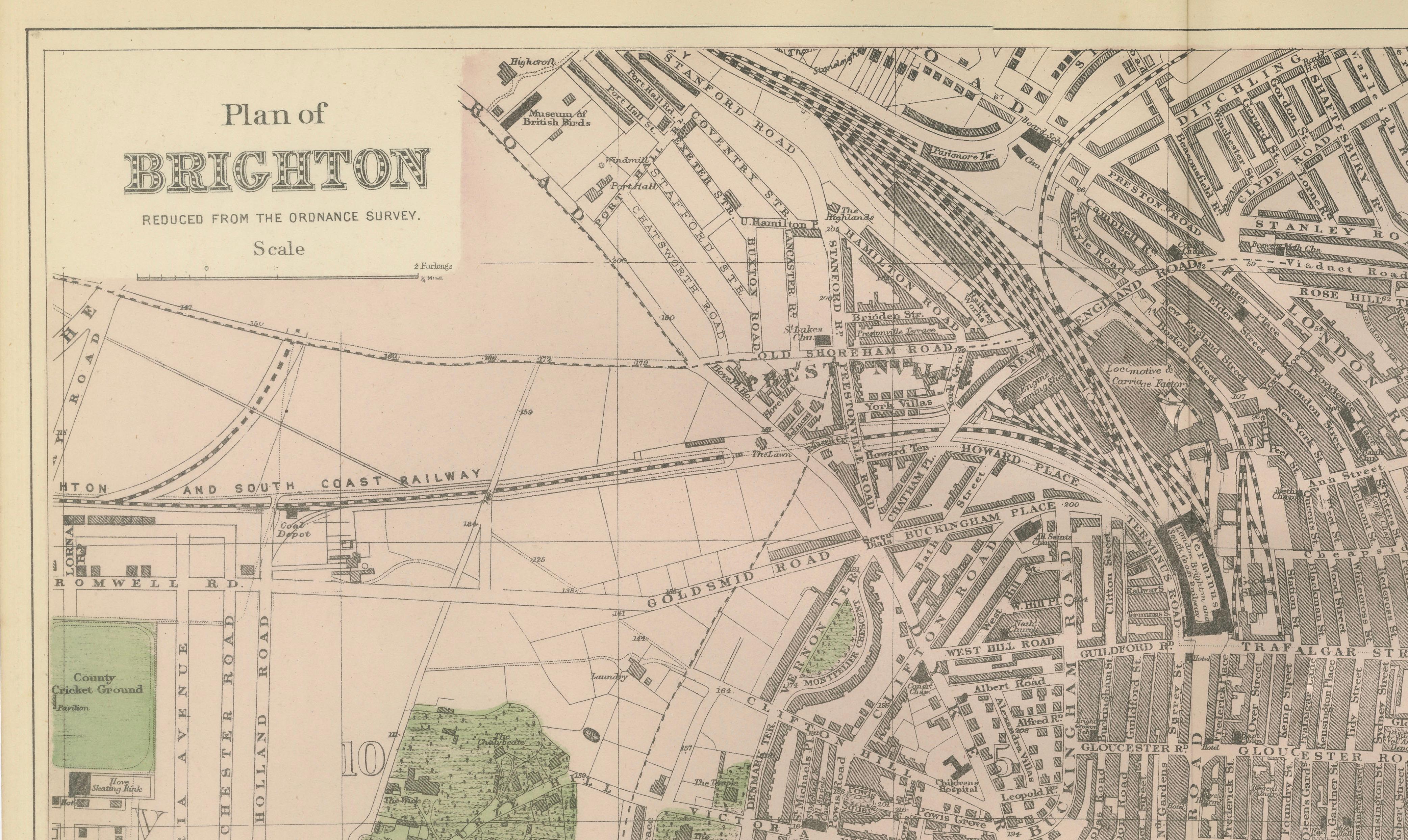
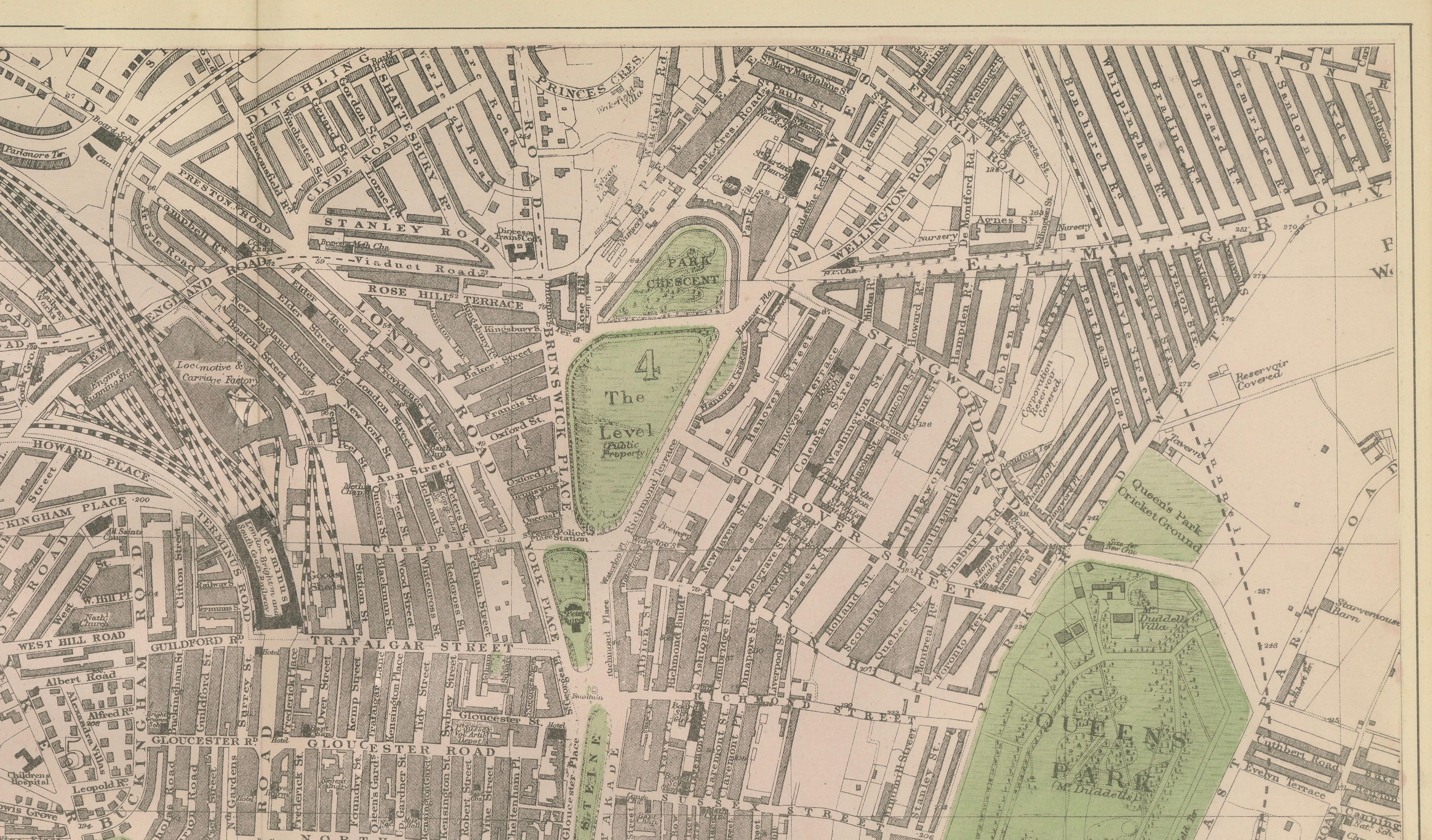
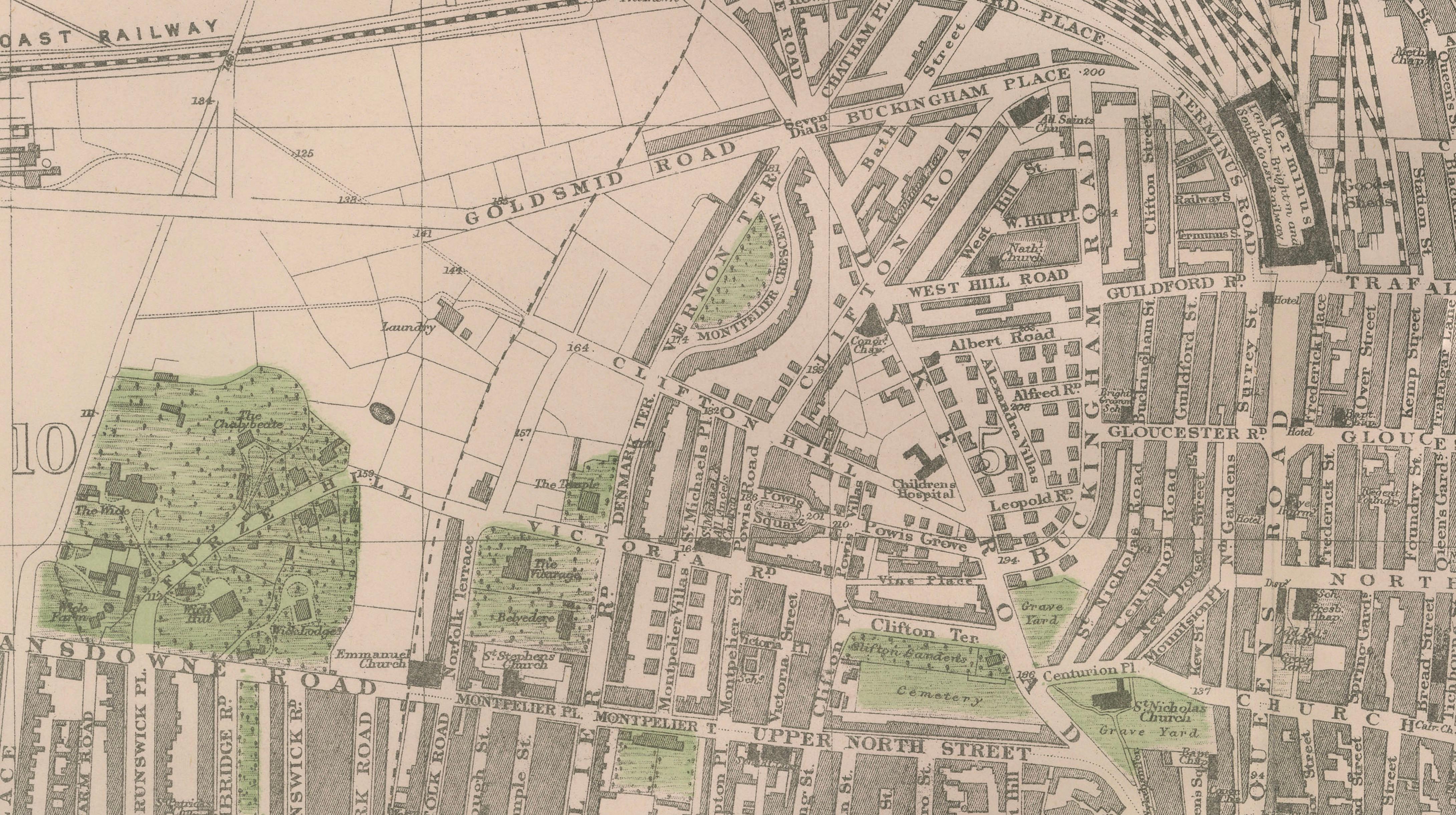
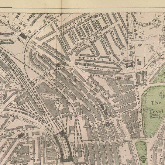
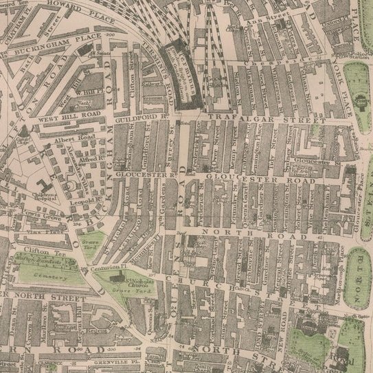
Moving inland, the map reveals a dense and orderly network of streets, terraces, and squares. Prominent thoroughfares such as Western Road, North Street, Gloucester Road, and Trafalgar Street are shown in fine detail, illustrating the structured expansion of the town. Residential districts radiate outward, interspersed with elegant crescents and terraces typical of Brighton’s architectural character.
Green spaces are delicately highlighted in soft color, including The Level, Pavilion Grounds, and other landscaped areas that provided recreation and relief within the urban fabric. To the east, the expansive Queen’s Park is prominently shown, adding balance to the composition and reinforcing Brighton’s identity as both a resort and a refined residential city.
Railway infrastructure is also clearly visible, including the London, Brighton and South Coast Railway, underscoring the town’s accessibility and its role as a popular destination for visitors from London. The station area and converging lines emphasize the importance of rail travel in Brighton’s development.
The map is executed in precise lithographic linework with subtle original hand coloring, combining clarity with decorative appeal. Its horizontal format and coastal subject make it particularly attractive for interior display, especially in seaside homes or refined contemporary settings.
This is an original 19th-century lithograph, not a reproduction. The print is sold unframed; any framed images are shown for presentation and interior inspiration only.
Very good antique condition. Light toning and occasional spotting consistent with age. Original center fold as issued. Margins complete.
Framing tips:
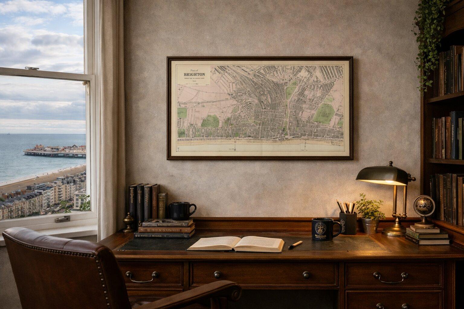
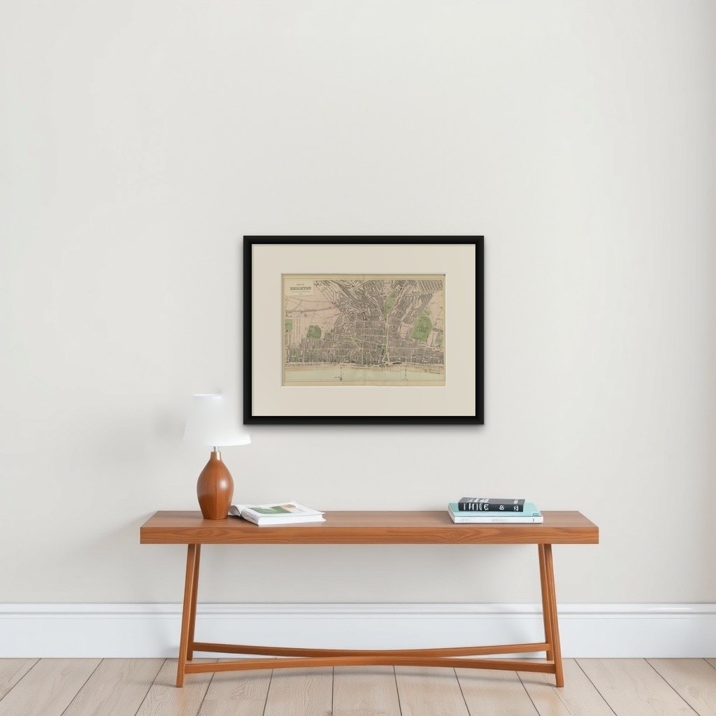
This panoramic coastal map is ideally suited to a wide horizontal frame. A dark walnut or black frame with a generous ivory mat enhances the contrast and gives a museum-quality presentation. Particularly striking in coastal interiors or modern minimalist spaces.